The best road cycling routes in Δρυμός Λευκών Ορέων
4.9
(17)
290
riders
7
rides
Road cycling routes in Δρυμός Λευκών Ορέων traverse a landscape characterized by mountainous terrain, deep gorges, and coastal roads. The region, part of the White Mountains in Crete, features significant elevation changes, including challenging climbs and switchbacks. Road cyclists can expect routes that offer views of plateaus, passes, and the sea, providing varied riding experiences.
Best road cycling routes in Δρυμός Λευκών Ορέων
- The most popular road cycling route is View of Chora Sfakion – Aradena Gorge (closed) loop from…
Last updated: July 4, 2026
15
riders
31.8km
01:54
790m
790m
Moderate road ride. Good fitness required. Mostly well-paved surfaces and easy to ride.
34
riders
95.2km
05:33
2,220m
2,220m
Hard road ride. Very good fitness required. Mostly well-paved surfaces and easy to ride.

Sign up for free
5.0
(2)
44
riders
54.9km
03:28
1,540m
1,540m
Hard road ride. Very good fitness required. Mostly well-paved surfaces and easy to ride.
5.0
(2)
13
riders
58.7km
03:06
1,110m
1,110m
Hard road ride. Very good fitness required. Mostly well-paved surfaces and easy to ride.
5.0
(1)
6
riders
54.4km
03:18
1,460m
1,460m
Hard road ride. Very good fitness required. Mostly well-paved surfaces and easy to ride.
Get access to more routes and recommendations from other explorers.
Sign up for free
Already have an account?
Our route recommendations are based on thousands of hikes, rides, and runs completed by other people on komoot.
Start today with a free account
Your next adventure awaits.
Login or Signup
Other adventures in Δρυμός Λευκών Ορέων

Tips from the Community

Statue for the Cretan resistance fighters
0
0

Beautiful entrance to the Samaria Gorge
1
0

The road is beautifully laid out, has wonderful views, and is not very busy, but with gradients of up to 19%, it's not for everyone ;-)
0
0

Quäldich Pass Description: Southern Ascent from Kapsodasos 6.7 km | 643 m elevation gain | 9.6% (~10.4%) The southern ascent begins in the village of Kapsodasos at an altitude of approximately 100 m. The turnoff to Kallikratis is signposted (as of 2018 on a very weathered sign). The route initially heads north for a little over half a kilometer before a veritable hairpin bend festival unfolds over the next five kilometers. The road winds its way up a barren rocky slope via a total of 27 hairpin bends. There is virtually no vegetation along the route, which has its own charm and offers consistently wonderful views, especially of the hairpin bends already conquered and the Libyan Sea shimmering in the distance. The gradient is inconsistent over these first 5.5 kilometers, averaging just over 10%, but quite steep. In addition to battling the steep incline, the author also encountered a rather strong headwind on the ascent, which swept down the slope and added to the effort. After completing the switchbacks, the worst is over, and the route continues relatively flat for half a kilometer northwards before the remaining 700 meters to the highest point of the route, where the final meters of elevation gain must be conquered at a manageable gradient. Once at the top, the route descends for about a kilometer, followed by a gentle climb of almost three kilometers towards Kallikrátis. From there, however, more elevation gain awaits, as one must either tackle the easy western ascent to the Bourolos Pass or the 560-meter climb of the eastern ascent to the Asfendos Pass. Northern Ascent 1 km | 64 m elevation gain | 6.4% (~8.8%)
0
0
Quäldich Pass Description: The Kallikratis-Kapsodasos Pass lies not far from the south coast of Crete, between Kapsodasos and Kallikratis. As is often the case in Crete, there is unfortunately no pass sign and therefore no official name for the crossing. It is also not marked on local maps. The owner of Olympic Bike in Rethymnon informed the author that the crossing is known locally as the Kapsodasos Pass, or simply Kapsodasos Pass, based on the starting point of the southern ascent. Elsewhere, it is referred to as the Kallikratis Climb. We cannot and do not wish to commit to a definitive name. This is not a pass in the conventional sense, as the road does not connect two valleys, but rather leads from the south coast parallel to a gorge, climbing a slope into the island's interior. However, like a pass, it does cross a high point. Consequently, the southern ascent can involve a considerable amount of elevation gain, while the northern ascent involves only a slight difference in altitude. As of 2018, the entire route is in excellent condition and has a much better road surface than the surrounding roads. Only in the lower section of the southern approach were there occasionally some stones on the road, which only required extra caution on the descent. Furthermore, the road is mostly single-lane, hardly used, and therefore a real pleasure to drive.
0
0
Asfendos Pass Description: The Asfendos Pass lies slightly east of the Lefka Ori (White Mountains) and connects the summit of the Imbros Pass in the west with the village of Kallikratis in the east over a distance of 14.8 kilometers. Those starting on the south coast of Crete and then climbing the Asfendos Pass via the Imbros Pass can cover a total of 1100 meters of elevation gain in one go. The ascent from the east, however, is initially undulating and only begins with a longer climb after the village of Asfendos (municipality of Arkalokefali?). Since this pass, like the Imbros Pass, has no official name, a name is required, and here it is, in reference to the aforementioned village – ta-da! – Asfendos Pass. As of 2018, the road is in quite good condition. Apart from a little vegetation along the eastern approach, the landscape is extremely barren, which has its own unique charm. From the pass summit, there is a beautiful view of the Lefka Ori (White Mountains) massif. QD Editorial Note: From the pass, the road continues higher, a paved track leading to the 1220-meter summit of Akones.
0
0
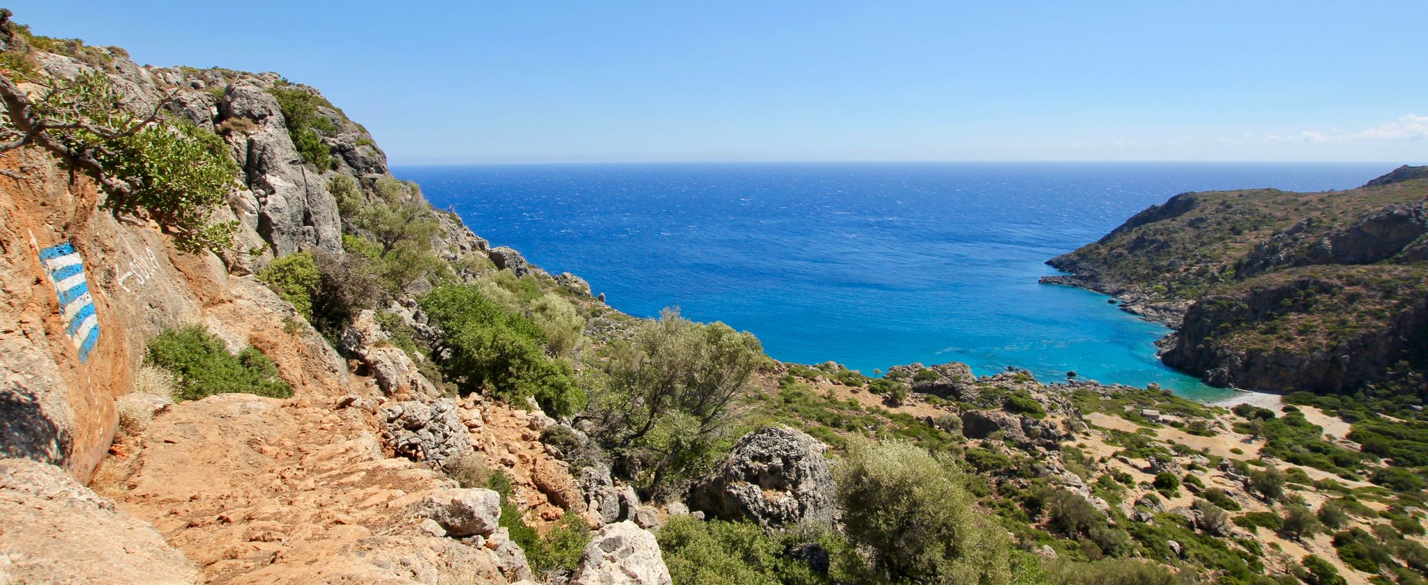
The mouth of the gorge to the Libyan Sea is located a few kilometers west of Loutro at the so-called Marmara Beach.[1] From there, the gorge winds northwards towards the Lefka Ori (the "White Mountains") and reaches its narrowest point below the village of Aradena (Greek: Αράδαινα). The rock walls there rise almost vertically 138 meters high, with a gorge width of only about 8 meters at the bottom and about 25 meters at the top.
3
1
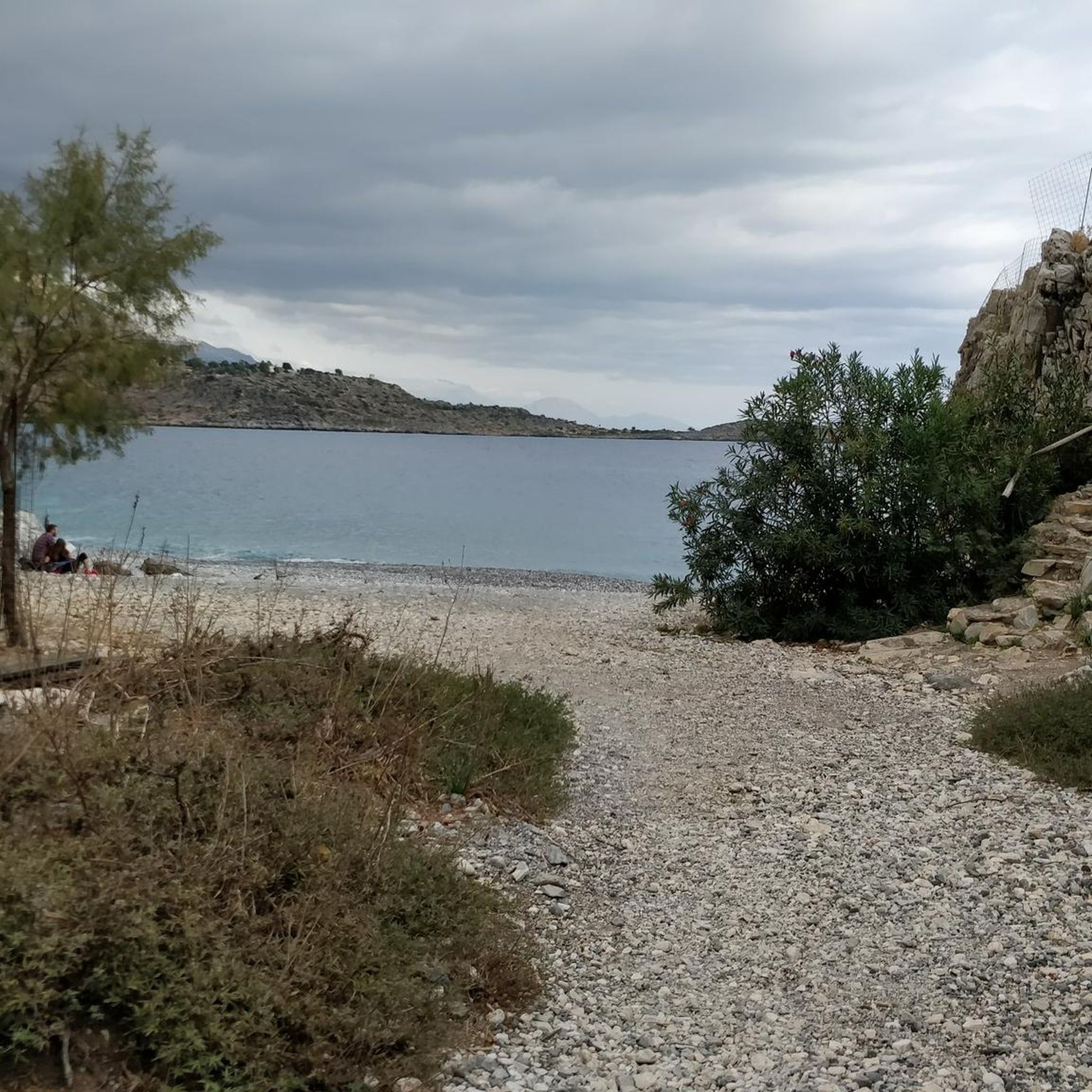
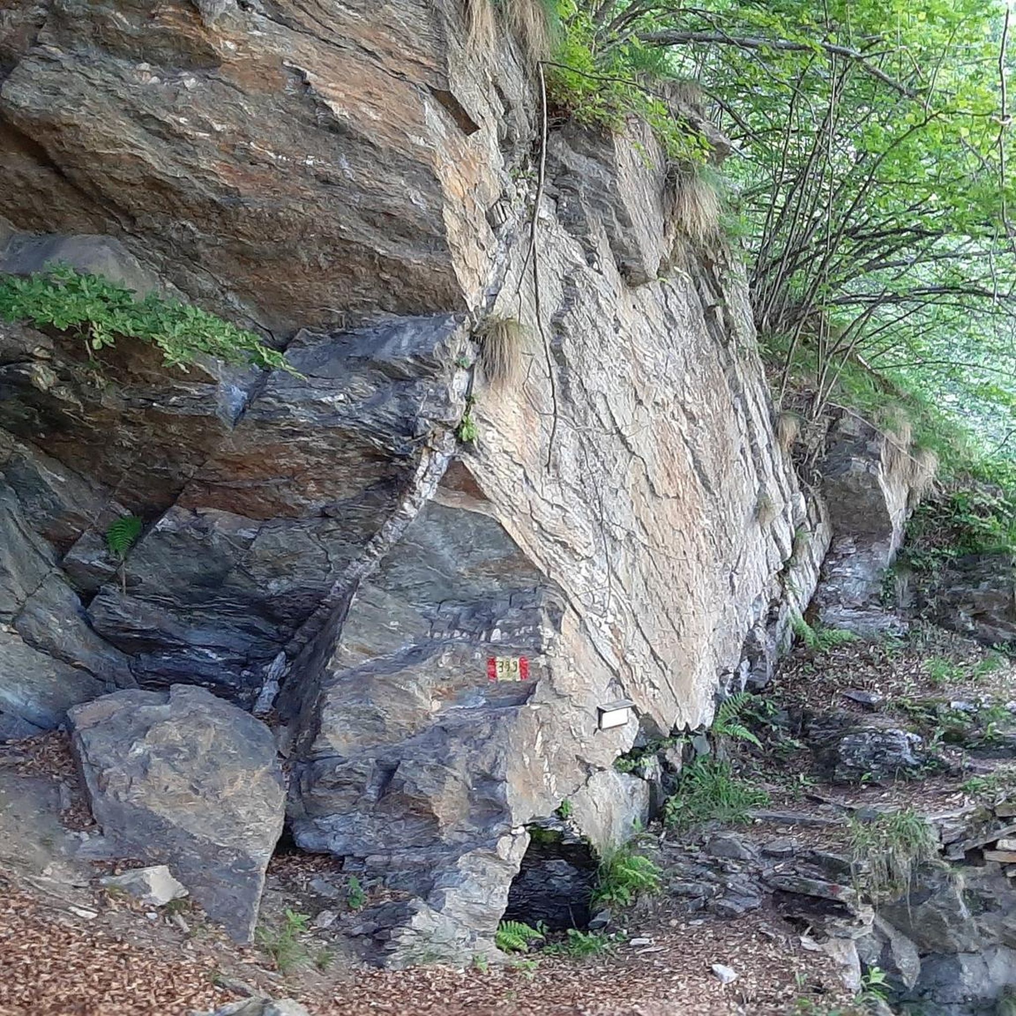
An impressive bridge and a suitable starting point for hiking through the Aradena Gorge to Marmara Beach. The descent through the old village of Aradena, west of the bar, provides access to the gorge. Trail markers on the gorge's rocks guide the way to Marmara Beach to the south. The wooden railing is partially rotten, so trusting the steel chains anchored in the rock and using your own leg muscles is advisable. Sturdy footwear is recommended; climbing equipment is not necessary. Falling rocks are possible. A taverna on the beach offers refreshments. Continuing from Marmara Beach lies Loutro, which can be reached via a pleasant rocky walk. A rocky ascent towards Anopolis completes the hike back to the Aradena Bridge.
3
0
Frequently Asked Questions
What is the general difficulty level of road cycling routes in Δρυμός Λευκών Ορέων?
Road cycling in Δρυμός Λευκών Ορέων is primarily characterized by challenging mountain passes and significant elevation changes. The routes are generally suited for moderate to difficult ability levels, with 2 moderate and 5 difficult routes listed in the area. There are no easy routes available.
Are there any family-friendly or beginner road cycling routes in Δρυμός Λευκών Ορέων?
Due to the mountainous terrain and significant elevation gains, road cycling routes in Δρυμός Λευκών Ορέων are generally not considered family-friendly or suitable for beginners. The available routes are rated moderate to difficult, catering to more experienced road cyclists.
What are some of the most challenging road cycling routes in the region?
For advanced cyclists seeking a challenge, routes like the Kallikratis Pass – Kallikratis Road Switchbacks loop from Hora Sfakion, which features extensive switchbacks and a mountain pass ascent, or the View of Omalos Plateau – Church of Fournes loop from Fournes, offering substantial climbs, are excellent choices.
What is the best time of year for road biking in Δρυμός Λευκών Ορέων?
The ideal time for road cycling in Δρυμός Λευκών Ορέων is typically during spring (April to June) and autumn (September to October). During these months, temperatures are milder, and the weather is generally more stable, avoiding the intense summer heat and potential winter snow at higher elevations.
What kind of weather conditions should I expect while cycling in Δρυμός Λευκών Ορέων?
Given the mountainous nature of Δρυμός Λευκών Ορέων, weather conditions can vary significantly. Expect warm to hot temperatures in summer, especially at lower altitudes, and cooler, potentially windy conditions at higher elevations. Always be prepared for sudden changes, including rain, particularly outside of peak summer months.
Are there scenic viewpoints or landmarks along the road cycling routes?
Yes, many routes offer breathtaking views. For instance, the View of Chora Sfakion – Aradena Gorge (closed) loop from Anopoli provides vistas towards the Aradena Gorge. You can also find highlights like View from Papouras or View of Pachnes, which are popular viewpoints in the region.
What do other road cyclists enjoy most about cycling in Δρυμός Λευκών Ορέων?
The komoot community highly rates road cycling in Δρυμός Λευκών Ορέων, with an average score of 4.9 stars from over 17 reviews. Cyclists frequently praise the challenging mountain passes, the stunning coastal roads with sea views, and the diverse terrain that provides a rewarding experience for experienced riders.
How long are the road cycling routes in Δρυμός Λευκών Ορέων?
The road cycling routes in Δρυμός Λευκών Ορέων vary in length. For example, the Chora Sfakion Harbor – View of Chora Sfakion loop from Hora Sfakion is about 11.4 miles (18.4 km), while the Coastal Road with Sea View – Rodakino Village loop from Hora Sfakion extends to 36.5 miles (58.7 km), offering options for different endurance levels.
Are there any specific challenging climbs or passes to look out for?
Absolutely. The region is known for its demanding ascents. The Kallikratis Pass is particularly famous for its numerous switchbacks and significant elevation gain, providing a true test for road cyclists.
What kind of terrain can I expect on the road cycling routes?
You can expect a diverse range of terrain, from well-paved mountain roads with numerous switchbacks to scenic coastal roads offering sea views. The routes often traverse plateaus and deep gorges, providing varied riding surfaces and spectacular backdrops.
Are there any circular road cycling routes available?
Yes, all the featured road cycling routes in Δρυμός Λευκών Ορέων are designed as loops, allowing you to start and finish at the same point. Examples include the View of Chora Sfakion – Aradena Gorge (closed) loop from Anopoli and the Kallikratis Pass – Kallikratis Road Switchbacks loop from Hora Sfakion.
Most popular attractions in Δρυμός Λευκών Ορέων

Get inspired with the komoot mobile app


Explore more
Browse the best Road cycling routes in other regions.
