The best running trails in Finca Pública De Planícia
4.2
(28)
538
runners
19
runs
Jogging routes in Finca Pública De Planícia are situated within the protected natural landscape of the Serra de Tramuntana in Mallorca. The region features diverse terrain, including dense oak, carob, and pine forests, alongside ancient olive trees. Joggers can experience varied gradients across mountainous areas, with the Mola de Planícia rising to 941 meters. Coastal views overlooking Banyalbufar, Estellencs, and Sa Dragonera are accessible from higher elevations.
Best jogging routes in Finca Pública De Planícia
- The most popular jogging route…
Last updated: July 10, 2026
39
runners
15.1km
02:07
590m
590m
Hard run. Very good fitness required. Sure-footedness, sturdy shoes and alpine experience required.
9
runners
13.5km
02:11
800m
800m
Hard run. Very good fitness required. Sure-footedness, sturdy shoes and alpine experience required.

Sign up for free
4.0
(3)
18
runners
8.51km
01:02
290m
290m
Moderate run. Good fitness required. Mostly paved surfaces. Suitable for all skill levels.
21
runners
11.7km
01:32
410m
410m
Hard run. Very good fitness required. Mostly paved surfaces. Suitable for all skill levels.
3.5
(4)
16
runners
4.72km
00:30
60m
60m
Easy run. Great for any fitness level. Mostly paved surfaces. Suitable for all skill levels.
Get access to more routes and recommendations from other explorers.
Sign up for free
Already have an account?
Our route recommendations are based on thousands of hikes, rides, and runs completed by other people on komoot.
Start today with a free account
Your next adventure awaits.
Login or Signup
Popular around Finca Pública De Planícia
Tips from the Community

Font de la Vila is the most important well in Banyalbufar, as it supplies the village and the entire walled area with its main water source. It is a spring of Islamic origin that enabled the settlement of the first community in Banyalbufar. From the spring, an irrigation canal and a large network of pipes and conduits carry the water to the ponds of the individual farms.
1
0

Hard but very fun and rewarding. Looking back sometimes down the valley had beautiful view.
0
0


Amazing views and great opportunities for a coffee or olive break. 🤩
1
0

From our starting point in Galilea, I can only recommend everyone to take a Tramuntana tour. We did it in 8 days, but you should allow more time to absorb all the impressions.
1
0

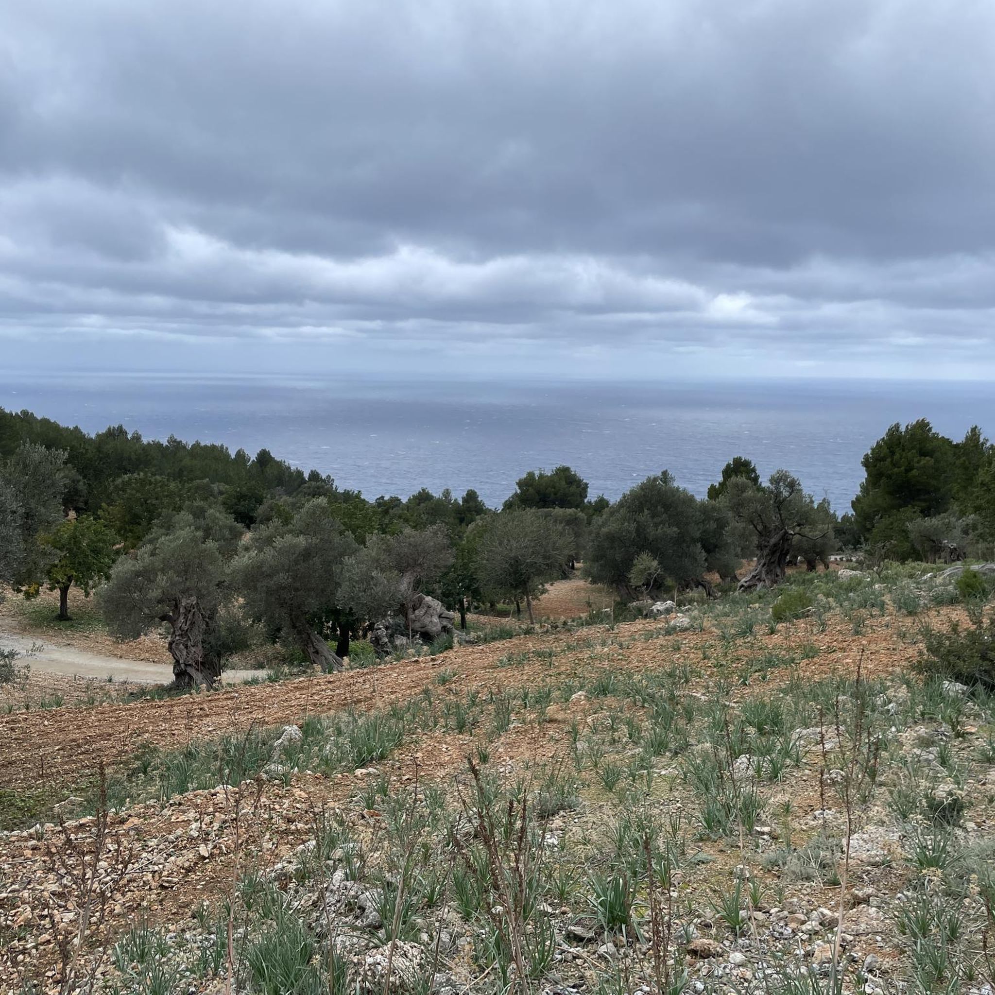
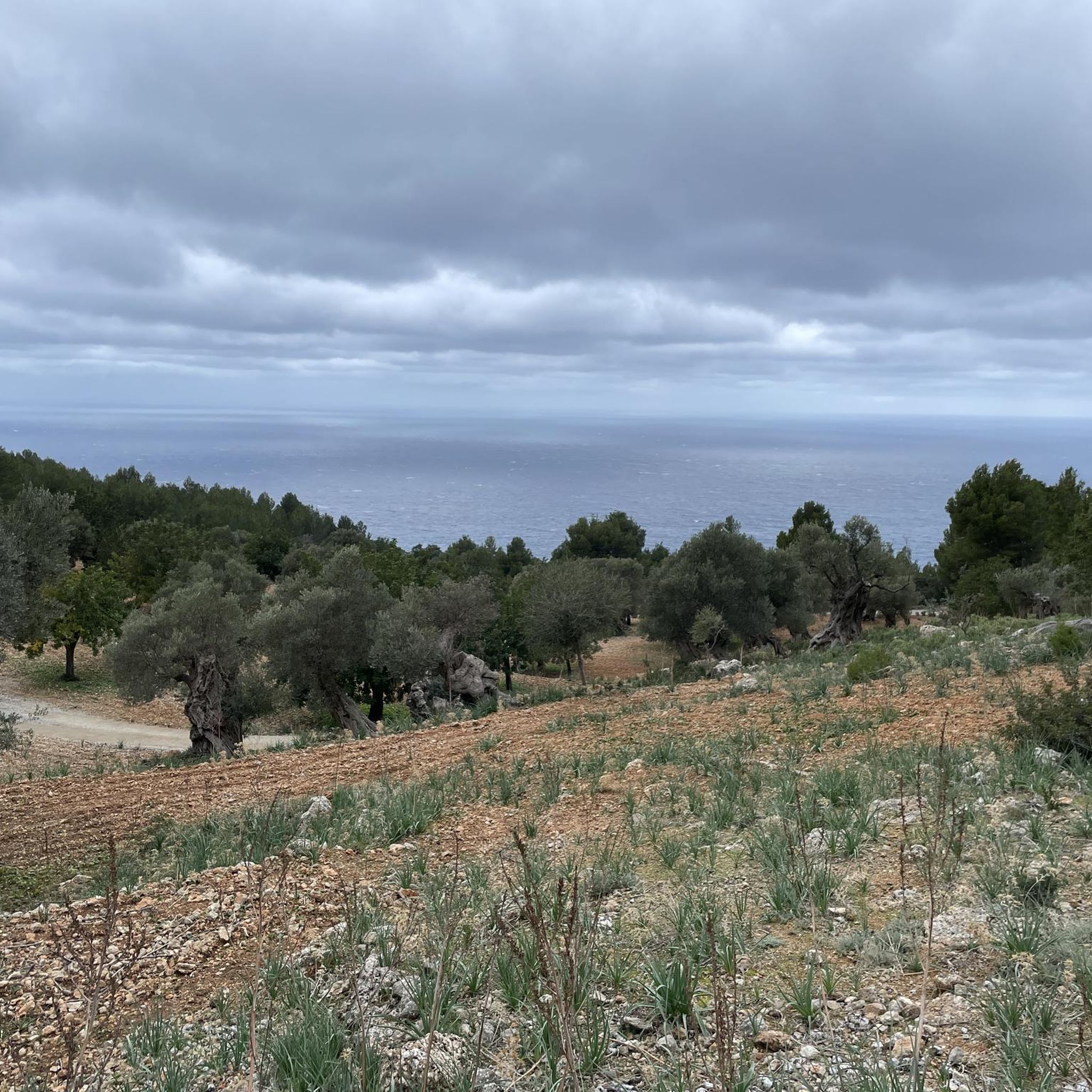
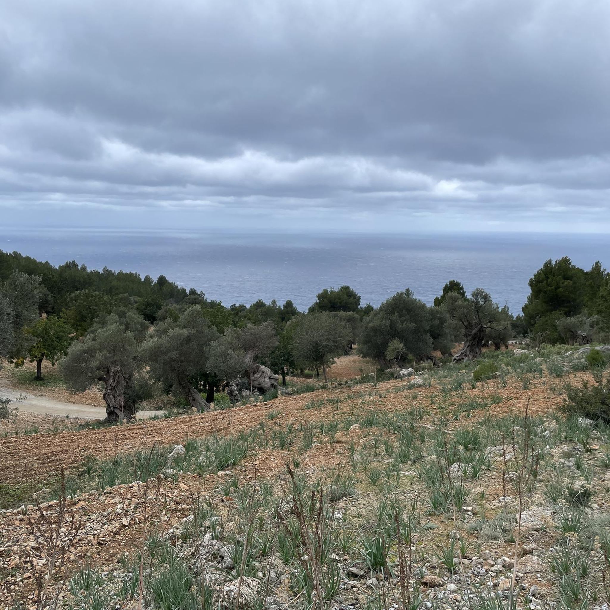
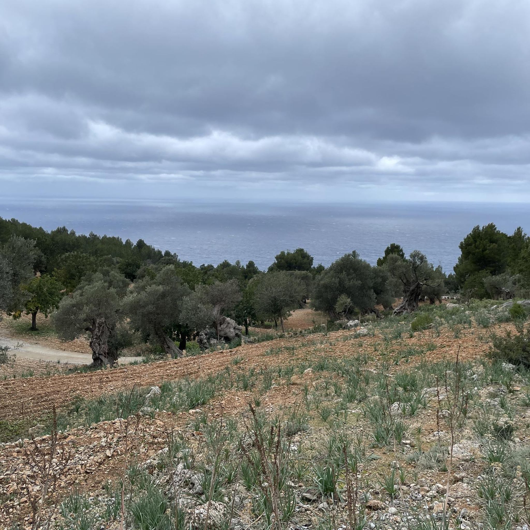
It is precisely these views that Banyalbufar is known for... Agriculture on numerous small terraces... a beautiful sight
2
0
Just before the path leads into the forest, it is worth looking back... over the olive trees you have a beautiful view of the terraces of Banyalbufar
1
0
The terraced cultivation with the dry stone walls is typical for this region... It is here that you will find a particularly beautiful area
1
0
Frequently Asked Questions
How many running routes are available in Finca Pública De Planícia?
Finca Pública De Planícia offers a selection of nearly 20 running routes, catering to various preferences and fitness levels. These routes traverse diverse landscapes, from dense forests to mountainous terrain, providing options for both moderate and challenging runs.
What kind of terrain can I expect on the jogging trails in Finca Pública De Planícia?
The jogging trails in Finca Pública De Planícia feature varied terrain, including dense oak, carob, and pine forests, as well as ancient olive groves. You'll encounter mountainous sections with varied gradients, offering both challenging ascents and more gradual paths. The Mola de Planícia, rising to 941 meters, contributes to the diverse elevation profiles.
Are there any easy running routes suitable for beginners or families in Finca Pública De Planícia?
Yes, while many routes are challenging, there is at least one easy running route available. The region research also indicates that some paths offer manageable inclines that gradually become easier, making them accessible even for families looking for a less strenuous jog.
What are some notable landmarks or natural features to look out for while running in Finca Pública De Planícia?
As you run through Finca Pública De Planícia, you can discover several interesting landmarks and natural features. Keep an eye out for the historic Casas de Planícia, which offer stunning vistas. You might also encounter the natural spring Font de S'Obi, ancient olive trees, and fascinating ethnological heritage like charcoal kilns. Don't miss the magnificent 'Pins de Planícia,' two enormous pine trees cataloged as singular landmarks.
Are there any running routes that offer coastal views in Finca Pública De Planícia?
Absolutely. From higher elevations within Finca Pública De Planícia, joggers can enjoy panoramic coastal views overlooking Banyalbufar, Estellencs, and the island of Sa Dragonera. For example, the route View of Punta de s'Àguila – View of Punta s'Àguila loop from Banyalbufar is known for its stunning coastal vistas.
What do other runners enjoy most about jogging in Finca Pública De Planícia?
The running routes in Finca Pública De Planícia are highly rated by the komoot community, with an average score of 4.0 stars from over 20 reviews. Runners often praise the diverse landscapes, from dense forests to open mountain slopes, and the rewarding coastal views. The mix of challenging ascents and scenic paths makes for a memorable experience.
Are there any circular running routes in the area?
Yes, many of the running routes in Finca Pública De Planícia are circular, allowing you to start and finish at the same point. Examples include the challenging Talaia d'Es Rafal – Mola de Planícia loop from Banyalbufar and the Mola de Planícia – Puig de Planícia loop from Banyalbufar.
What is the best time of year to go running in Finca Pública De Planícia?
The region's dense oak, carob, and pine forests provide shaded trails, making it suitable for running even during warmer periods. However, spring and autumn generally offer the most pleasant temperatures for outdoor activities in Mallorca, with lush greenery and comfortable conditions for tackling the varied gradients.
Are there any specific viewpoints or summits accessible via running trails?
Yes, several running trails lead to rewarding viewpoints and summits. The Puig de Sa Mola de Planícia Summit is a notable point of interest that can be reached, offering expansive views of the surrounding natural landscape and coastline.
What is the typical difficulty level of running routes in Finca Pública De Planícia?
The running routes in Finca Pública De Planícia range from moderate to difficult. Out of nearly 20 routes, 13 are classified as difficult, 5 as moderate, and 1 as easy. This indicates that many trails involve significant elevation changes and varied terrain, making them ideal for runners seeking a challenge.
Is there parking available near the running trailheads in Finca Pública De Planícia?
While specific parking details for each trailhead are best checked on individual route pages, Finca Pública De Planícia is a public estate, and access points typically have designated parking areas. It's advisable to consult the starting points of your chosen route for the most accurate parking information.
Can I combine my run with a visit to a picnic area or a place to rest?
Yes, you can. The area features an Ancient Olive Tree Picnic Area, providing a scenic spot to rest and refuel during or after your run. Additionally, the Font de S'Obi and Shelter offers another place for a break.
Most popular routes in Finca Pública De Planícia
Most popular attractions in Finca Pública De Planícia

Get inspired with the komoot mobile app


Explore more
Browse the best Running Trails & Routes in other regions.
