The best walks and hikes in Espai D'Interès Natural De La Serra De Castelltallat
4.6
(68)
772
hikers
60
hikes
Hiking in Espai D'Interès Natural De La Serra De Castelltallat features a diverse landscape, characterized by a plateau with a maximum elevation of 936 meters at the Tossal mountain. The region is geologically composed of limestone and marl mountains, presenting steep, forested slopes on its northern side and gentler, sunnier slopes used for farmland on its eastern side. Two brooks, the Coaner and the Fonollosa, originate here, contributing to the natural environment. The area includes holm oak groves, white pine…
Last updated: July 9, 2026
3
hikers
Moderate hike. Good fitness required. Easily-accessible paths. Suitable for all skill levels.
5.0
(1)
21
hikers
11.3km
03:15
280m
280m
Moderate hike. Good fitness required. Easily-accessible paths. Suitable for all skill levels.

Sign up for free
5.0
(1)
4
hikers
8.37km
02:25
220m
220m
Moderate hike. Good fitness required. Easily-accessible paths. Suitable for all skill levels.
5.0
(1)
5
hikers
15.9km
05:29
800m
810m
Hard hike. Very good fitness required. Easily-accessible paths. Suitable for all skill levels.
4.0
(1)
4
hikers
12.9km
03:50
350m
350m
Moderate hike. Good fitness required. Easily-accessible paths. Suitable for all skill levels.
Get access to more routes and recommendations from other explorers.
Sign up for free
Already have an account?
Our route recommendations are based on thousands of hikes, rides, and runs completed by other people on komoot.
Start today with a free account
Your next adventure awaits.
Login or Signup
Popular around Espai D'Interès Natural De La Serra De Castelltallat
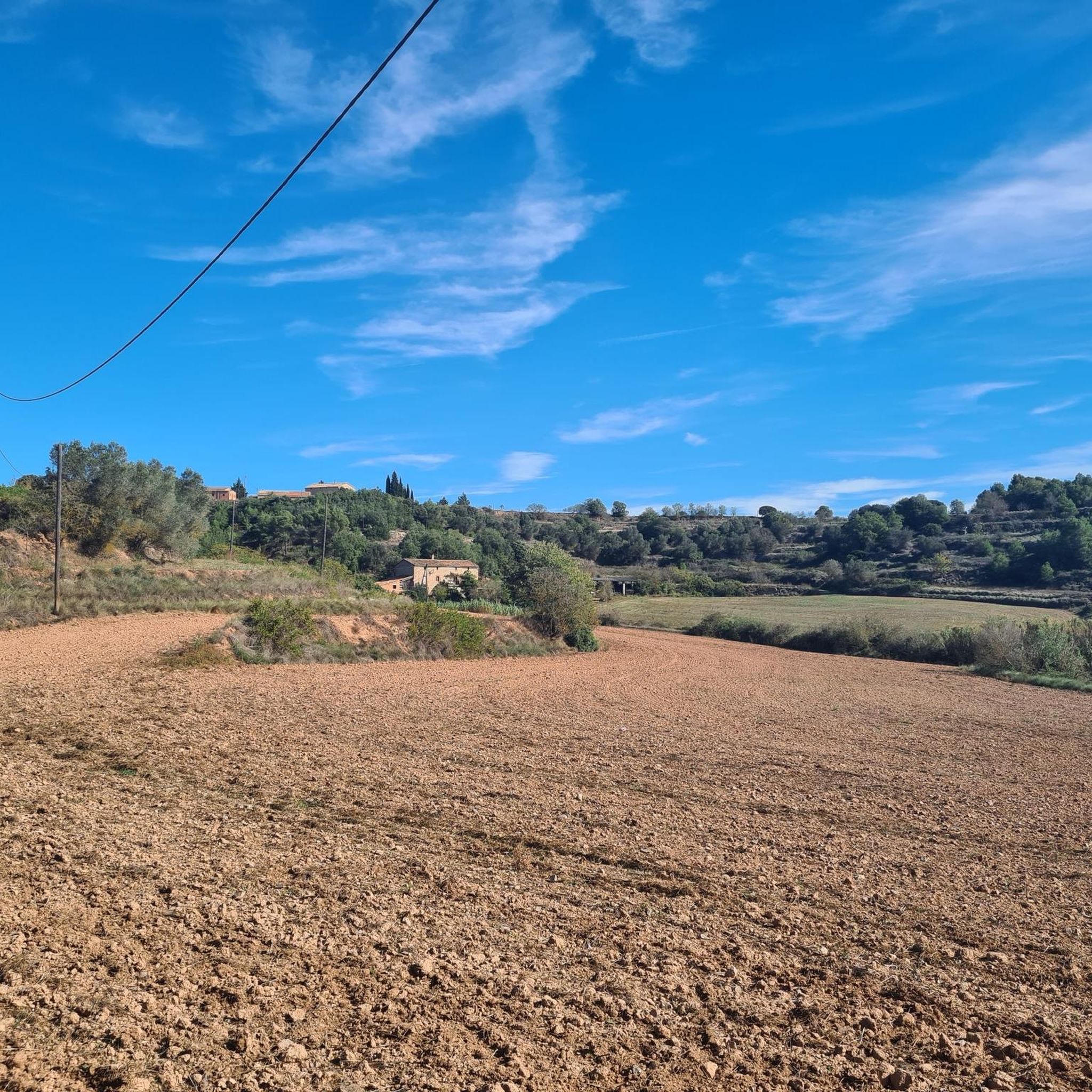
Road Cycling Routes in Espai D'Interès Natural De La Serra De Castelltallat
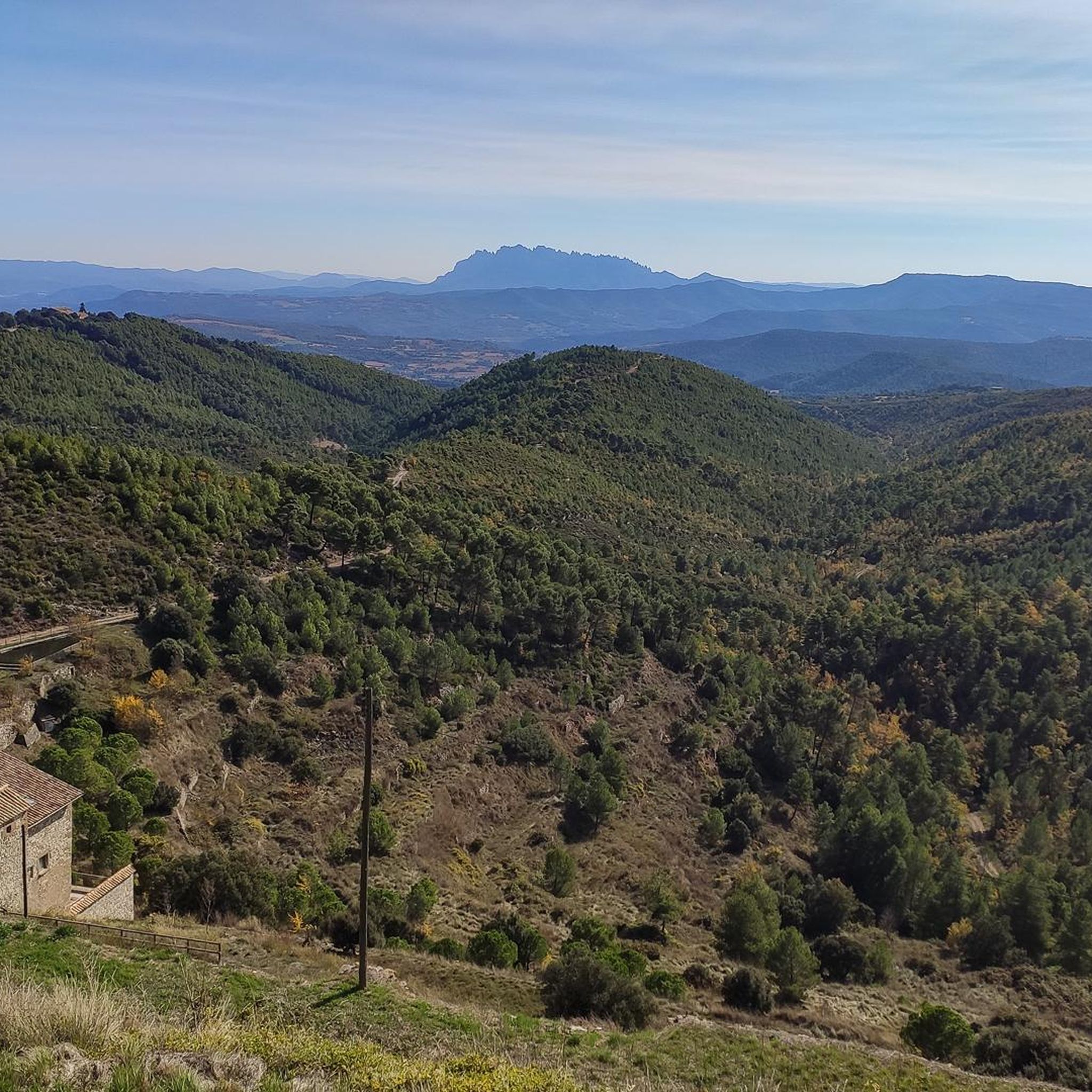
Cycling in Espai D'Interès Natural De La Serra De Castelltallat
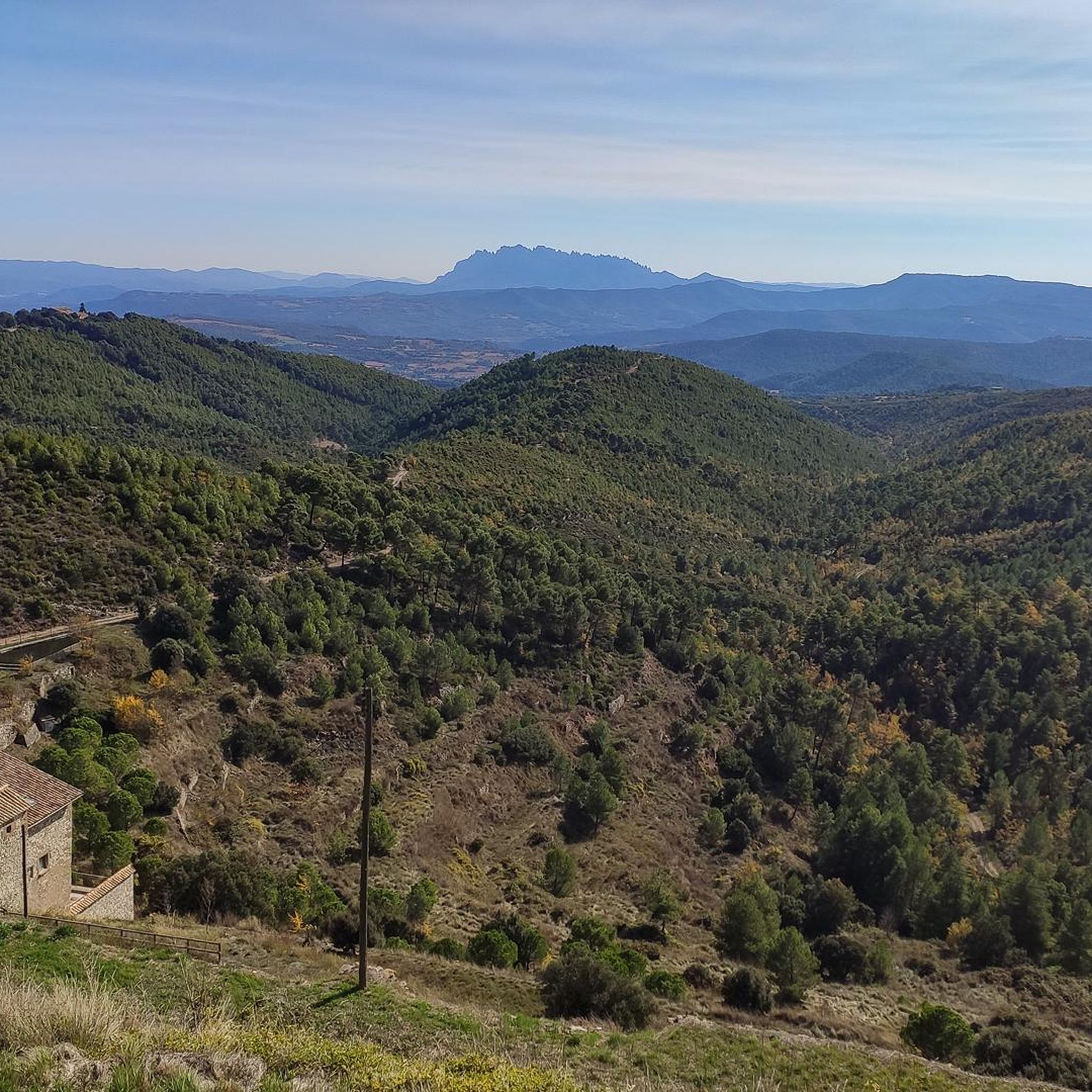
MTB Trails in Espai D'Interès Natural De La Serra De Castelltallat
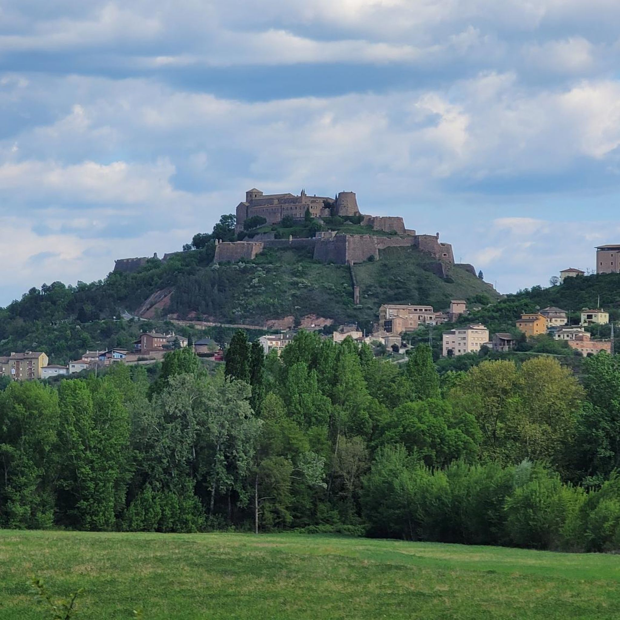
Running Trails in Espai D'Interès Natural De La Serra De Castelltallat
Gravel biking in Espai D'Interès Natural De La Serra De Castelltallat
Frequently Asked Questions
How many hiking trails are available in Espai D'Interès Natural De La Serra De Castelltallat?
There are over 60 hiking trails in Espai D'Interès Natural De La Serra De Castelltallat, offering a wide range of options for different skill levels. This includes 12 easy routes, 44 moderate routes, and 4 difficult routes.
What kind of terrain can I expect when hiking in Serra de Castelltallat?
The Serra de Castelltallat features diverse terrain, from steep, forested slopes on its northern side to gentler, sunnier slopes used for farmland on the eastern side. You'll encounter limestone and marl mountains, holm oak groves, white pine forests, and Scots pine and red pine in shadier areas. The highest point is the Tossal mountain at 936 meters.
Are there easy hiking trails suitable for beginners or families?
Yes, Espai D'Interès Natural De La Serra De Castelltallat offers 12 easy hiking trails, perfect for beginners or families looking for a relaxed outdoor experience. These routes allow you to enjoy the natural beauty without significant challenges.
What are some notable landmarks or attractions to see while hiking?
The area is rich in points of interest. You can visit the Castelltallat Astronomical Observatory, explore the ruins of the 10th-century Castelltallat Castle, or see the historic Sant Miquel Church. Don't miss the ancient Dolmen de Castelltallat for historical insight and panoramic views. There are also sites with fossilized footprints, offering a unique glimpse into prehistoric fauna.
Are there any circular hiking routes in the region?
Yes, many routes in Espai D'Interès Natural De La Serra De Castelltallat are circular. For example, the moderate Goberna – Polvorí d'Utgés loop from Espai d'interès natural de la Serra de Castelltallat is a popular choice, taking about 2 hours 24 minutes to complete.
What is the best time of year to go hiking in Serra de Castelltallat?
Espai D'Interès Natural De La Serra De Castelltallat is open and enjoyable for hiking all year round. The diverse landscapes offer different experiences across seasons, from lush greenery in spring and summer to vibrant colors in autumn.
What do other hikers enjoy most about the trails here?
The trails in Espai D'Interès Natural De La Serra De Castelltallat are highly rated by the komoot community, with an average score of 4.5 stars. Hikers often praise the varied terrain, the mix of forests and farmlands, and the historical sites like the Castelltallat castle ruins that add interest to the routes.
Are there any challenging or difficult hikes available?
Yes, for experienced hikers, there are 4 difficult routes. One such challenging option is the Cal Trist – Sagrat Cor de la Colònia Valls loop from Súria, which covers a distance of nearly 16 km with significant elevation changes.
Can I bring my dog on the hiking trails?
The region is generally welcoming to dogs, but it's always recommended to keep them on a leash, especially in areas with wildlife such as wild boars, foxes, and rabbits, or near farmlands. Always check specific trail regulations before you go.
Are there opportunities for wildlife spotting?
Yes, the diverse natural environment of Serra de Castelltallat is home to various wildlife. You might spot wild boars, foxes, rabbits, partridges, crows, and even the Eurasian eagle-owl, particularly in the forested and quieter areas.
Is there parking available near the trailheads?
While specific parking information for every trailhead isn't detailed, many routes in the region start from villages or accessible points where parking is typically available. It's advisable to check the starting point of your chosen route for specific parking instructions.
What is the longest hiking route in the area?
One of the longer routes you can explore is the Cal Trist – Sagrat Cor de la Colònia Valls loop from Súria, which is a difficult 15.9 km trail. Another substantial option is the moderate Cal Trist loop from Súria, covering 11.3 km.
Most popular routes in Espai D'Interès Natural De La Serra De Castelltallat
Most popular attractions in Espai D'Interès Natural De La Serra De Castelltallat

Get inspired with the komoot mobile app


Explore more
Browse the best Hikes in other regions.
