The best road cycling routes in Ασπρόπετρα-Αηλιά (Καλλιπεύκης)
5.0
(3)
69
riders
2
rides
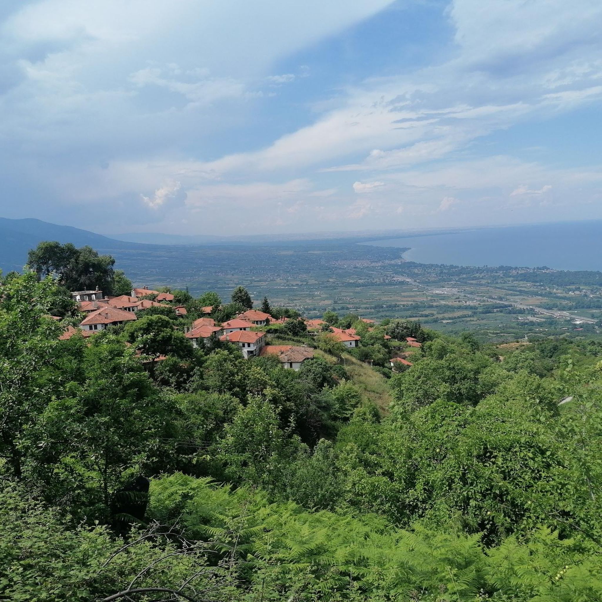
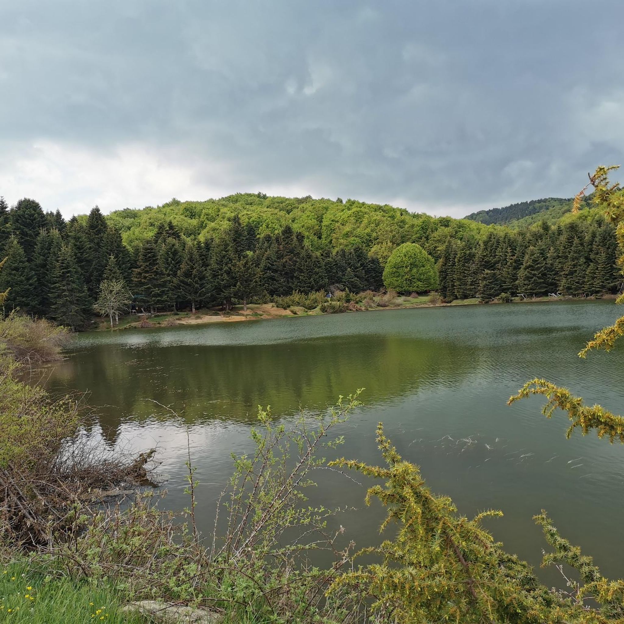
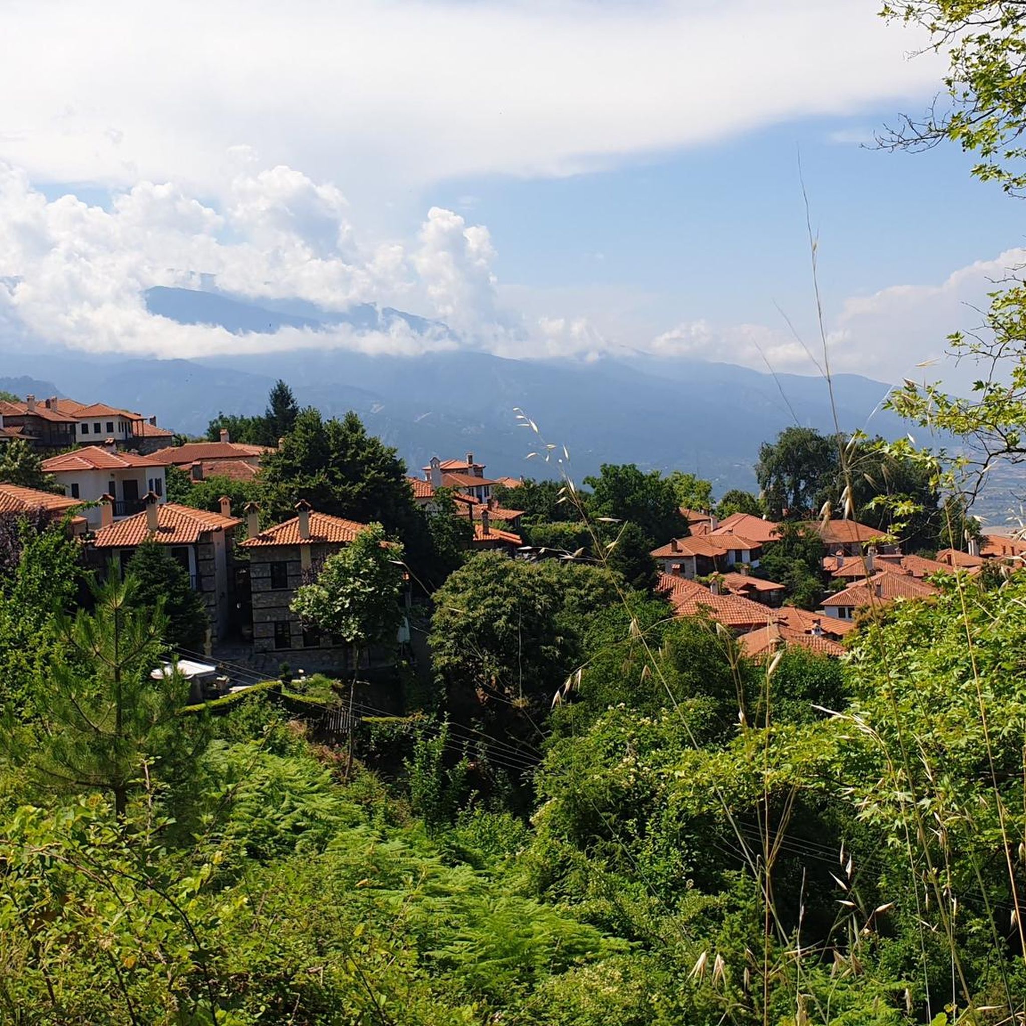
Road cycling routes in Ασπρόπετρα-Αηλιά (Καλλιπεύκης) are characterized by mountainous terrain on the western side of Lower Mount Olympus. The region features significant elevation changes, with Kallipefki village itself situated at over 1,000 meters (3,280 feet) above sea level. Dense forests of beech, oak, fir, and pine trees cover the landscape, providing a varied backdrop for rides. This area offers challenging climbs and a network of forest roads suitable for road cycling.
Best road cycling routes in Ασπρόπετρα-Αηλιά (Καλλιπεύκης)
- The…
Last updated: July 11, 2026
5.0
(2)
24
riders
66.2km
03:50
1,520m
1,520m
Hard road ride. Very good fitness required. Mostly well-paved surfaces and easy to ride.
5
riders
Moderate road ride. Good fitness required. Some segments of this route may be unpaved and difficult to ride.

Sign up for free
10
riders
52.4km
02:08
190m
190m
Moderate road ride. Good fitness required. Some segments of this route may be unpaved and difficult to ride.
5.0
(1)
13
riders
47.6km
02:29
820m
820m
Moderate road ride. Good fitness required. Mostly well-paved surfaces and easy to ride.
17
riders
117km
05:42
1,610m
1,610m
Hard road ride. Very good fitness required. Mostly well-paved surfaces and easy to ride.
Our route recommendations are based on thousands of hikes, rides, and runs completed by other people on komoot.
Start today with a free account
Your next adventure awaits.
Login or Signup
Popular around Ασπρόπετρα-Αηλιά (Καλλιπεύκης)
Tips from the Community


An amazing view of Litochoro while descending the "Prionia" climb in Mt. Olympus.
0
0

The long sandy beach begins north of the mid-size town and continues all along the waterfront. The road along the beach is smooth pavement and less fast moving cars than on the highway that runs a couple of blocks further inland through the town center.
0
0
The coastal road, as well as the beach, become rougher and more rocky south of Leptokarya.
0
0
While the main road runs parallel further inlands, the paved road along the beach south of Leptokarya is less busy and has excellent views and access to the long beach. It has stones and pebbles on an underlying sand beach.
0
0
Until far into the 20th century, Litochoro was home to many shipowners and sailors. When the steamships displaced the sail ships, this era ended. In 1995 the members of the Association of the Retired Sailors of Litochoro were given the idea of documenting the legacy of maritime navigation and saving and preserving the cultural, maritime heritage of the place. Between 1995 and 2002 maritime relics were collected within the (formerly) maritime families of the village. From 2002 to 2004 the exhibition pieces were gathered and brought together. The "Maritime Museum of Litochoro", founded in 2004, is registered in the Greek Ministry of Culture as an "institution of cultural maritime heritage". Since its inception, the scope of the shown exhibits has been constantly expanded. The exhibits are either collected from the households of the former seafarers or were donated by shipowners or the navy. In front of the building are anchors, buoys, ships propellers and a torpedo. Although the museum is dedicated to merchant shipping, the tour begins with a model of a torpedo boat, which, in 1912, sank a Turkish warship in front of the port of Thessaloniki. Old pictures, some almost 100 years old, show proud families in the shipyard who supervise the construction of their ship. Other pictures show sailors on board or in port. In several showcases are impressive ship models. Many of these are original replicas of ships that were once home here. Others represent a cross-section of traditional Greek ships over the centuries. This is followed by nautical devices such as compasses, chronometers and sextants.ed with new elements of Naval heritage from Litohoro and the Merchant Marine. http://nmlitohorou.gr
0
0
Great long sandy beach all along the waterfront of this mid-size coastal town. In season there are beach chairs and umbrellas, in winter it is more natural.
0
0
At the southernmost point of the switchbacks climb, here at 700 m elevation, is an overlook and trail access into the Vithos Canyon, with sweeping views of the valley, the town of Litohoro on the other sided of the creek, and down to the coast.
0
0
Frequently Asked Questions
What is the general difficulty level of road cycling routes in Ασπρόπετρα-Αηλιά (Καλλιπεύκης)?
Road cycling in Ασπρόπετρα-Αηλιά (Καλλιπεύκης) is primarily characterized by challenging climbs and mountainous terrain. The routes generally range from moderate to difficult, with significant elevation changes. For example, the Leptokarya – Platamon Castle loop from Λεπτοκαρυά is rated difficult, climbing over 1,500 meters.
Are there any beginner-friendly road cycling routes in Ασπρόπετρα-Αηλιά (Καλλιπεύκης)?
While the region is known for its challenging mountainous terrain, there are routes with more moderate ascents. The Plaka Beach and river estuary – North Lyptokarya beach loop from Λεπτοκαρυά, for instance, is a moderate 46.7 km path with over 570 meters of ascent, offering a mix of coastal and inland scenery.
What are the typical lengths and durations of road cycling routes in the area?
The road cycling routes in Ασπρόπετρα-Αηλιά (Καλλιπεύκης) vary in length and duration. You can find routes like the moderate Plaka Beach and river estuary – North Lyptokarya beach loop from Λεπτοκαρυά, which is about 46.7 km and takes around 2 hours 27 minutes. Longer, more challenging routes, such as the Leptokarya – Beach boulevard loop from Κατερίνη, can be up to 116.6 km and take approximately 5 hours 40 minutes.
Where are good starting points for road cycling in Ασπρόπετρα-Αηλιά (Καλλιπεύκης)?
Excellent starting points for road cycling include the villages of Λεπτοκαρυά, Κατερίνη, and Νέου Παντελεήμονα, as many routes originate from these locations. Kallipefki village itself, situated at over 1,000 meters elevation, also serves as a central hub for exploring the mountainous terrain and dense forests.
What kind of scenery can I expect while road cycling in Ασπρόπετρα-Αηλιά (Καλλιπεύκης)?
You can expect stunning natural landscapes, including dense forests of beech, oak, fir, and pine trees. The mountainous terrain offers panoramic views, especially from higher elevations. Some routes also provide a mix of coastal and inland scenery, such as the Plaka Beach and river estuary – North Lyptokarya beach loop from Λεπτοκαρυά.
What is the best season for road biking in Ασπρόπετρα-Αηλιά (Καλλιπεύκης)?
The mountainous nature of Ασπρόπετρα-Αηλιά (Καλλιπεύκης) suggests that spring and autumn would be ideal for road cycling, offering milder temperatures and vibrant natural colors. Summer can also be suitable, especially at higher altitudes where temperatures are cooler, but be prepared for potential heat in lower coastal areas.
Are there any circular road cycling routes available?
Yes, many of the routes in the region are designed as loops, allowing you to start and finish at the same point. Examples include the challenging Leptokarya – Platamon Castle loop from Λεπτοκαρυά and the scenic Leptokarya – Litochoro from above loop from Νέου Παντελεήμονα.
What do other road cyclists enjoy most about road cycling in Ασπρόπετρα-Αηλιά (Καλλιπεύκης)?
The area is highly rated by the komoot community, with an average score of 5.0 stars. Reviewers often praise the challenging climbs, the beautiful dense forests, and the panoramic views of the surrounding mountainous region. The low traffic in these rural mountainous areas also contributes to a more enjoyable and safer cycling experience.
Are there any points of interest or attractions along the road cycling routes?
While specific attractions directly on the routes are not detailed, the region itself offers natural and historical points of interest. The area around Kallipefki features recreation areas like "Agia Triada" and "Patomeni" with picnic facilities. The broader region is part of Lower Mount Olympus, offering stunning natural beauty and connections to the national path O2. For more general information about Kallipefki, you can visit visitthessaly.gr.
What kind of road conditions can I expect on these routes?
The routes primarily consist of paved roads suitable for road bikes. However, given the mountainous and forested nature of the region, some routes may include sections of forest roads, which could be less maintained. Always check route details and conditions before you go.
Are there cafes or places to rest near the road cycling trails?
While specific cafes directly on the trails are not listed, the villages that serve as starting points, such as Kallipefki, Λεπτοκαρυά, Κατερίνη, and Νέου Παντελεήμονα, are likely to offer amenities like cafes and tavernas where you can rest and refuel.
How many road cycling routes are available in Ασπρόπετρα-Αηλιά (Καλλιπεύκης) on komoot?
There are several road cycling routes available in Ασπρόπετρα-Αηλιά (Καλλιπεύκης) on komoot, offering a variety of experiences. The guide highlights some of the most beautiful options, including routes like the Gravel road along a gravel beach – Beach boulevard loop from Νέου Παντελεήμονα.
Most popular routes in Ασπρόπετρα-Αηλιά (Καλλιπεύκης)

Get inspired with the komoot mobile app


Explore more
Browse the best Road cycling routes in other regions.
