The best walks and hikes in Acquaviva - Cima Del Monte - Quercia Del Monaco
4.6
(49)
204
hikers
18
hikes
Hiking trails in Acquaviva - Cima Del Monte - Quercia Del Monaco traverse a landscape characterized by hilly terrain and dense woodlands. The region features elevations, including Cima Del Monte, offering varied perspectives. Trails often lead through areas with historic ruins and natural springs, reflecting the "Acquaviva" name. The area provides a mix of moderate climbs and gentler paths suitable for exploration.
Best hiking trails in Acquaviva - Cima Del Monte - Quercia Del Monaco
- The most popular hiking route…
Last updated: October 12, 2026
3.8
(6)
22
hikers
Moderate hike. Good fitness required. Easily-accessible paths. Suitable for all skill levels.
5.0
(1)
5
hikers
Moderate hike. Good fitness required. Easily-accessible paths. Suitable for all skill levels.

4.5
(11)
47
hikers
15.0km
04:11
320m
160m
Moderate hike. Good fitness required. Easily-accessible paths. Suitable for all skill levels.
5.0
(2)
3
hikers
4.39km
01:44
260m
260m
Moderate hike. Great for any fitness level. Mostly accessible paths. Sure-footedness required.
3
hikers
5.02km
01:18
20m
20m
Easy hike. Great for any fitness level. Easily-accessible paths. Suitable for all skill levels.
Get access to more routes and recommendations from other explorers.
Already have an account?
Our route recommendations are based on thousands of hikes, rides, and runs completed by other people on komoot.
Start today with a free account
Your next adventure awaits.
Popular around Acquaviva - Cima Del Monte - Quercia Del Monaco
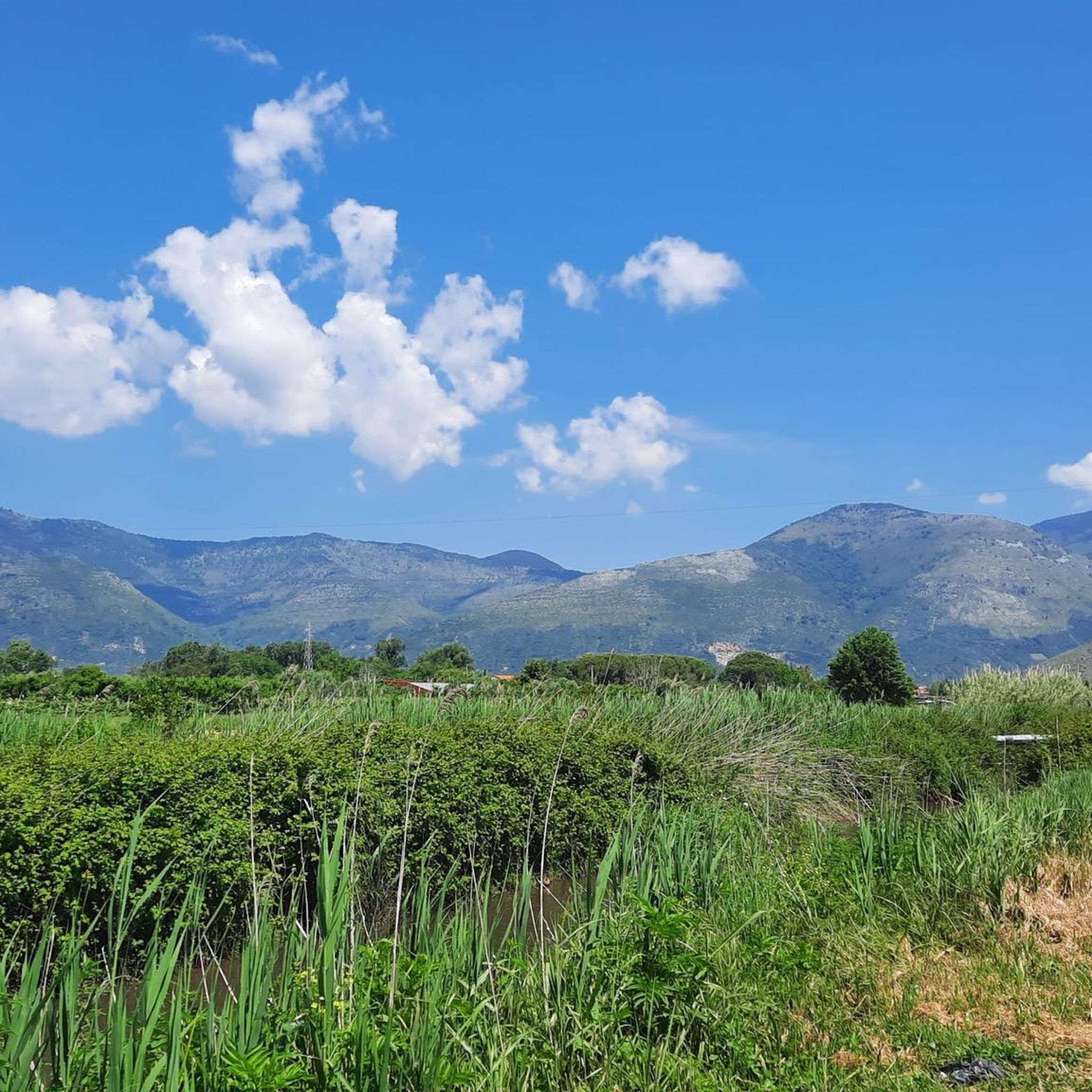
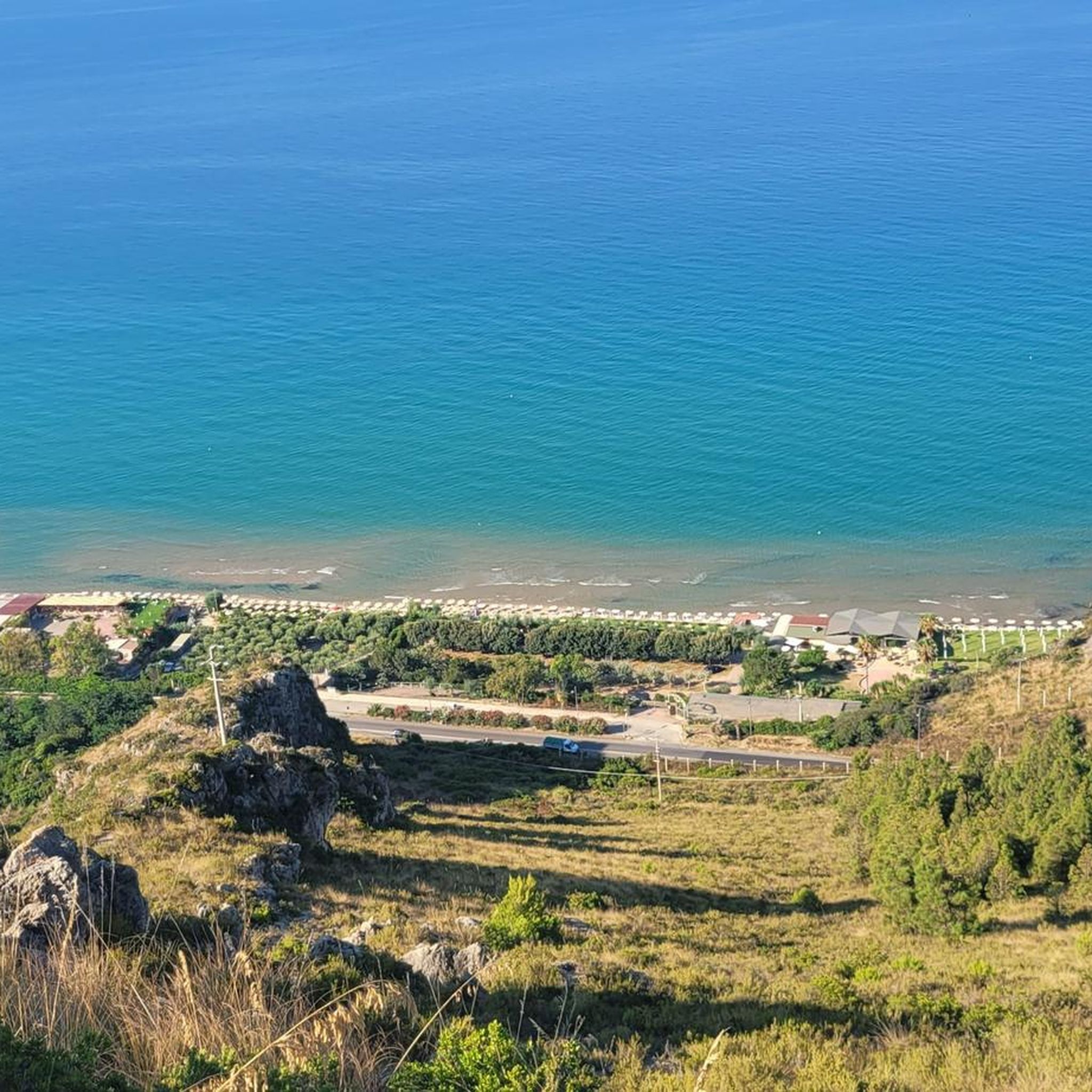
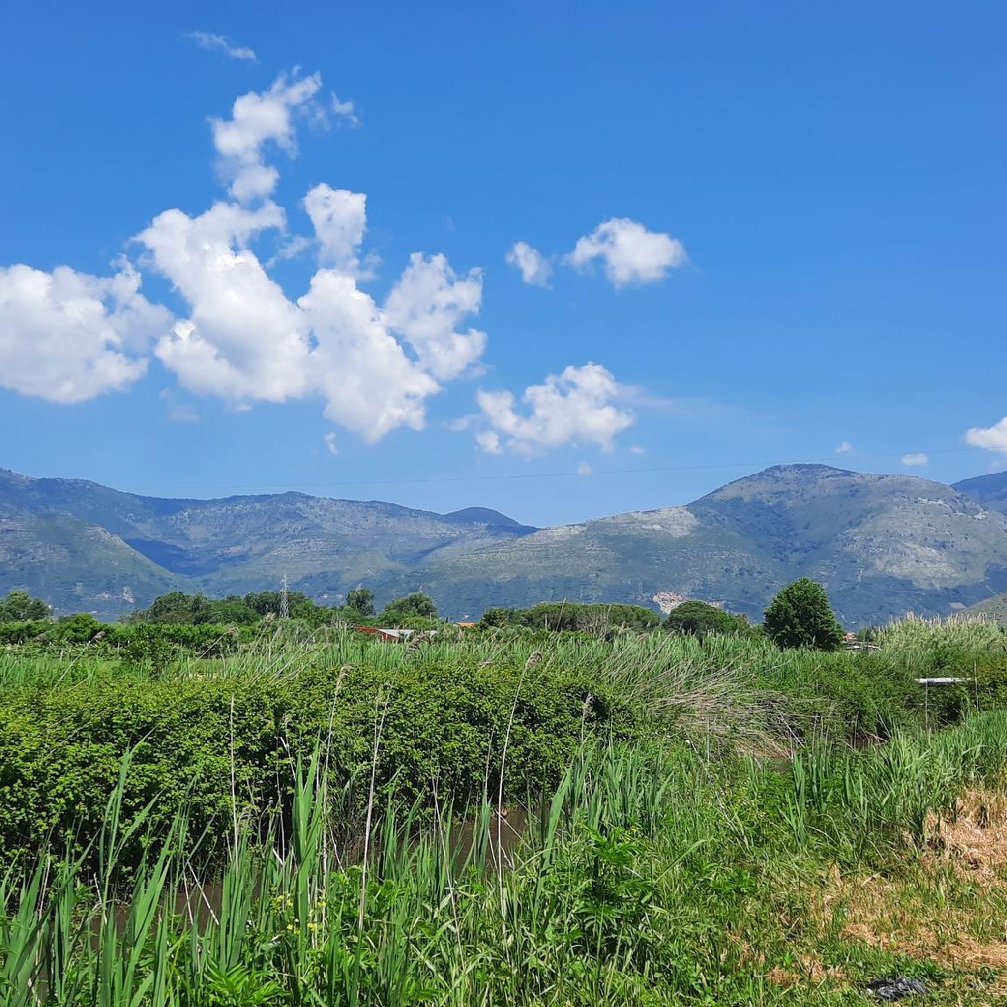

Tips from the Community


excellent large historic center
0
0

A climb that requires a lot of training. 4 km all on asphalt, at 9% average gradient. The first ramp that leads to the start of the climb reaches up to 19%. The last 3 hairpin bends (700 m), are at 13% average. The effort for the climb is however rewarded by a breathtaking view
1
0
Ancient Roman baths found after the removal of the rubble of a church destroyed during the bombings of the Second World War. They were probably not public baths but of a private villa
0
0
The center of Fondi: pedestrian area equipped with all services
0
0
Central point of Fondi, a large pedestrian area with shops and refreshment points.
0
0

The SR637 that connects Lenola to Vallecorsa is beautiful, it is pleasant both uphill (from Lenola) and downhill (from Vallecorsa), relaxing and fun, the eyes get lost in the valley
1
0

a beautiful, long square with many, many benches where you can sit in the shade and enjoy the view of the round tower,
0
0
Frequently Asked Questions
What are the general characteristics of hiking trails in Acquaviva - Cima Del Monte - Quercia Del Monaco?
The hiking trails in this region are characterized by hilly terrain and dense woodlands. You'll find varied elevations, including Cima Del Monte, offering diverse perspectives. Many paths lead through areas with historic ruins and natural springs, reflecting the region's name. The area provides a mix of moderate climbs and gentler paths suitable for various exploration levels.
What is the range of difficulty for hiking trails in Acquaviva - Cima Del Monte - Quercia Del Monaco?
The region offers a good range of difficulty levels. There are 5 easy routes, 8 moderate routes, and 2 difficult routes available. This variety ensures options for both casual walkers and more experienced hikers looking for a challenge.
Are there any circular hiking routes in the Acquaviva - Cima Del Monte - Quercia Del Monaco area?
Yes, several routes in the area are circular. For example, you can explore the Sanctuary of Madonna Della Rocca loop from Porta Roma, a moderate 5.8 miles (9.3 km) path. Another option is the Church of St. Angelo – Hermitage of Sant'Angelo loop from Chiesa di San Mauro, a shorter 2.7 miles (4.4 km) trail.
What kind of historical sites or landmarks can I expect to see while hiking?
The region is rich in historical interest. You can encounter the Ruins of Acquaviva, which are part of the popular Ruderi Acquaviva loop. Other notable landmarks include the Cippo No. 49 (Border of the Papal States – Kingdom of Naples) and Boundary Marker No. 56, offering glimpses into the area's past.
What do other hikers say about the trails in Acquaviva - Cima Del Monte - Quercia Del Monaco?
The routes in Acquaviva - Cima Del Monte - Quercia Del Monaco are highly rated by the komoot community, with an average score of 4.7 stars from over 30 reviews. Hikers often praise the diverse terrain, the blend of natural beauty with historical sites, and the well-maintained paths that make for an enjoyable experience.
Are there any particularly scenic viewpoints along the trails?
Yes, the area offers several scenic spots. A notable viewpoint is the View from Passo della Quercia del Monaco, which provides expansive vistas of the surrounding landscape. Many trails also offer views towards significant landmarks like the Sanctuary of Madonna Della Rocca.
How long do hikes typically take in this region?
Hike durations vary depending on the route's length and difficulty. For instance, the moderate Ruderi Acquaviva loop, which is 7.0 miles (11.2 km), typically takes about 3 hours and 10 minutes. Shorter trails like the Church of St. Angelo – Hermitage of Sant'Angelo loop (2.7 miles / 4.4 km) can be completed in about 1 hour and 44 minutes.
Are there any longer, more challenging hikes for experienced adventurers?
For those seeking a more challenging adventure, the region does offer difficult routes. An example is the Fondi–Itri border – Temple of Apollo loop from Fondi. This extensive trail covers 12.4 miles (19.9 km) and typically requires around 5 hours and 24 minutes to complete, featuring significant elevation changes.
What is the best season for hiking in Acquaviva - Cima Del Monte - Quercia Del Monaco?
Given the hilly terrain and dense woodlands, spring and autumn are generally considered the best seasons for hiking. The temperatures are milder, and the natural scenery is vibrant with blooming flowers or rich autumn colors. Summers can be warm, making early morning or late afternoon hikes preferable, while winters might offer cooler, crisp conditions.
Are there any easy, shorter trails suitable for a relaxed walk?
Yes, there are easy options for a more relaxed experience. The Duomo di San Pietro – Crocheted Trees loop from Fondi is an easy 3.1 miles (5.0 km) trail that can be completed in about 1 hour and 17 minutes, offering a gentle exploration of the area.
Is public transport available to reach the trailheads in the region?
While specific public transport routes directly to every trailhead are not detailed in this guide, the region is accessible. It's advisable to check local bus schedules or regional train services to nearby towns like Fondi, from where you might be able to connect to trailheads or arrange local transport. Planning ahead is recommended.
Most popular routes in Acquaviva - Cima Del Monte - Quercia Del Monaco
Most popular attractions in Acquaviva - Cima Del Monte - Quercia Del Monaco

Get inspired with the komoot mobile app


Explore more
Browse the best Hikes in other regions.
