The best road cycling routes in Serre Del Burano
4.5
(32)
1,663
riders
57
rides
Road cycling in Serre Del Burano features a diverse landscape characterized by rolling hills, forested areas, and valleys. The region's terrain includes both moderate ascents and more challenging climbs, offering varied experiences for road cyclists. Routes often traverse through rural settings, connecting small towns and offering views of the surrounding Umbrian countryside. The area provides a network of roads suitable for different levels of road bike trail difficulty Serre Del Burano.
Best road cycling routes in Serre Del Burano
- The most popular road cycling route is Hidden Fountain – Apecchio loop from Agriturismo Piandimolino, a 14.2 miles (22.8 km) trail that takes 1 hour 15 minutes to complete. This moderate route features a total elevation gain of 1,590 feet (485 m).
- Another top favourite among local road cyclists is Apecchio – Castelfranco Church loop from Serravalle di Carda, a difficult 27.4 miles (44.1 km) path. This route includes significant climbs, reaching over 3,354 feet (1,022 m) in elevation.
- Local road cyclists also love the Apecchio – Monte Nerone loop from Conti Castelguelfo, a 39.3 miles (63.2 km) trail leading through mountainous terrain, often completed in about 4 hours 5 minutes.
- Road cycling in Serre Del Burano is defined by its varied elevation profiles, rural roads, and forested sections. The network offers options for different ability levels, including advanced road cycling routes Serre Del Burano and moderate trails.
- The routes in Serre Del Burano are highly rated by the komoot community with an average score of 4.4 stars from over 40 reviews. More than 2,100 road cyclists have used komoot to explore Serre Del Burano's varied terrain.
Last updated: July 8, 2026
5.0
(3)
154
riders
68.5km
04:13
1,730m
1,730m
Hard road ride. Very good fitness required. Some segments of this route may be unpaved and difficult to ride.
4.0
(1)
16
riders
22.8km
01:15
480m
480m
Moderate road ride. Good fitness required. Mostly well-paved surfaces and easy to ride.

Sign up for free
4.5
(2)
4
riders
44.1km
02:36
1,020m
1,020m
Hard road ride. Very good fitness required. Mostly well-paved surfaces and easy to ride.
4.0
(1)
5
riders
38.9km
02:12
800m
800m
Moderate road ride. Good fitness required. Some segments of this route may be unpaved and difficult to ride.
4.5
(2)
106
riders
57.3km
02:51
900m
900m
Hard road ride. Very good fitness required. Mostly well-paved surfaces and easy to ride.
Get access to more routes and recommendations from other explorers.
Sign up for free
Already have an account?
Our route recommendations are based on thousands of hikes, rides, and runs completed by other people on komoot.
Start today with a free account
Your next adventure awaits.
Login or Signup

Tips from the Community

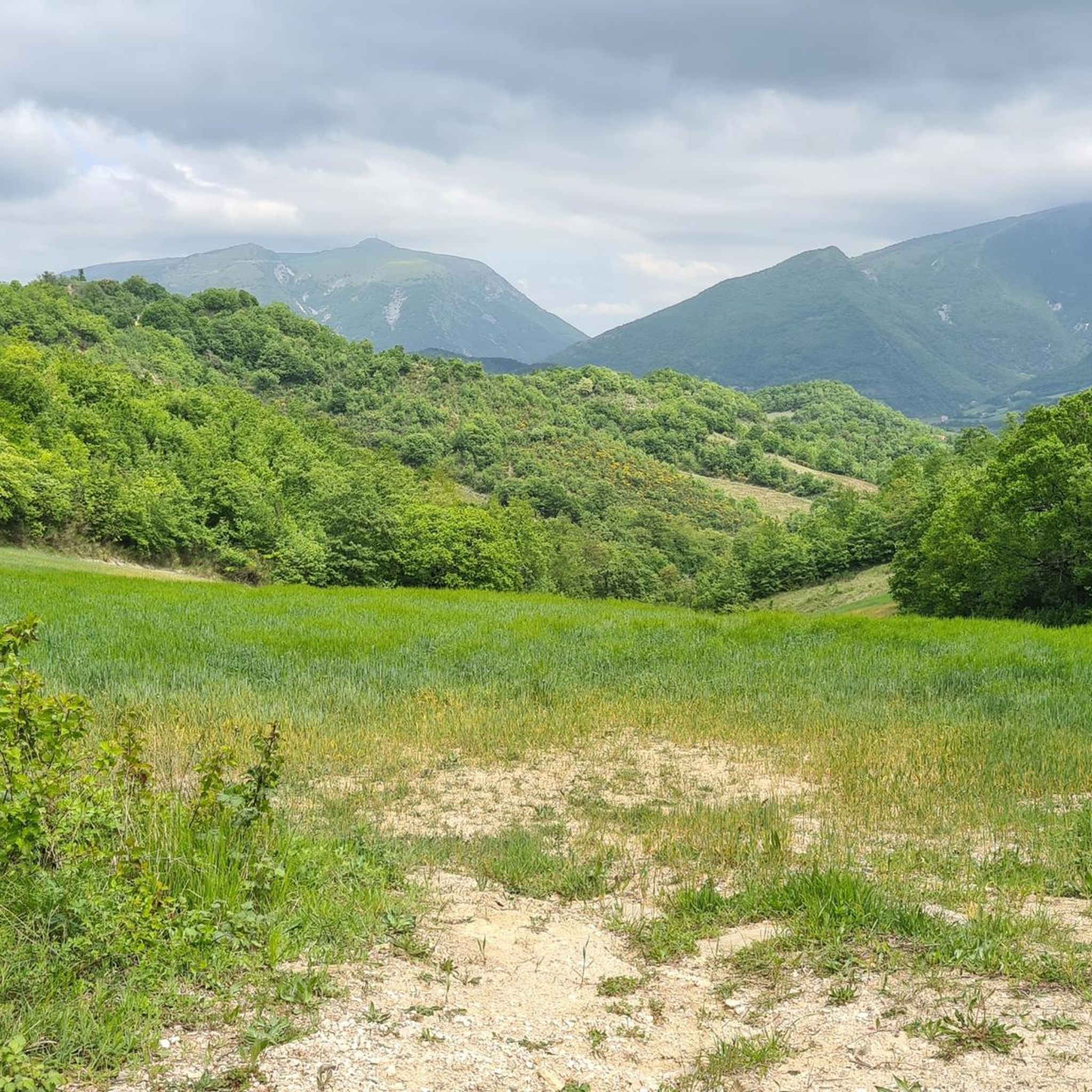
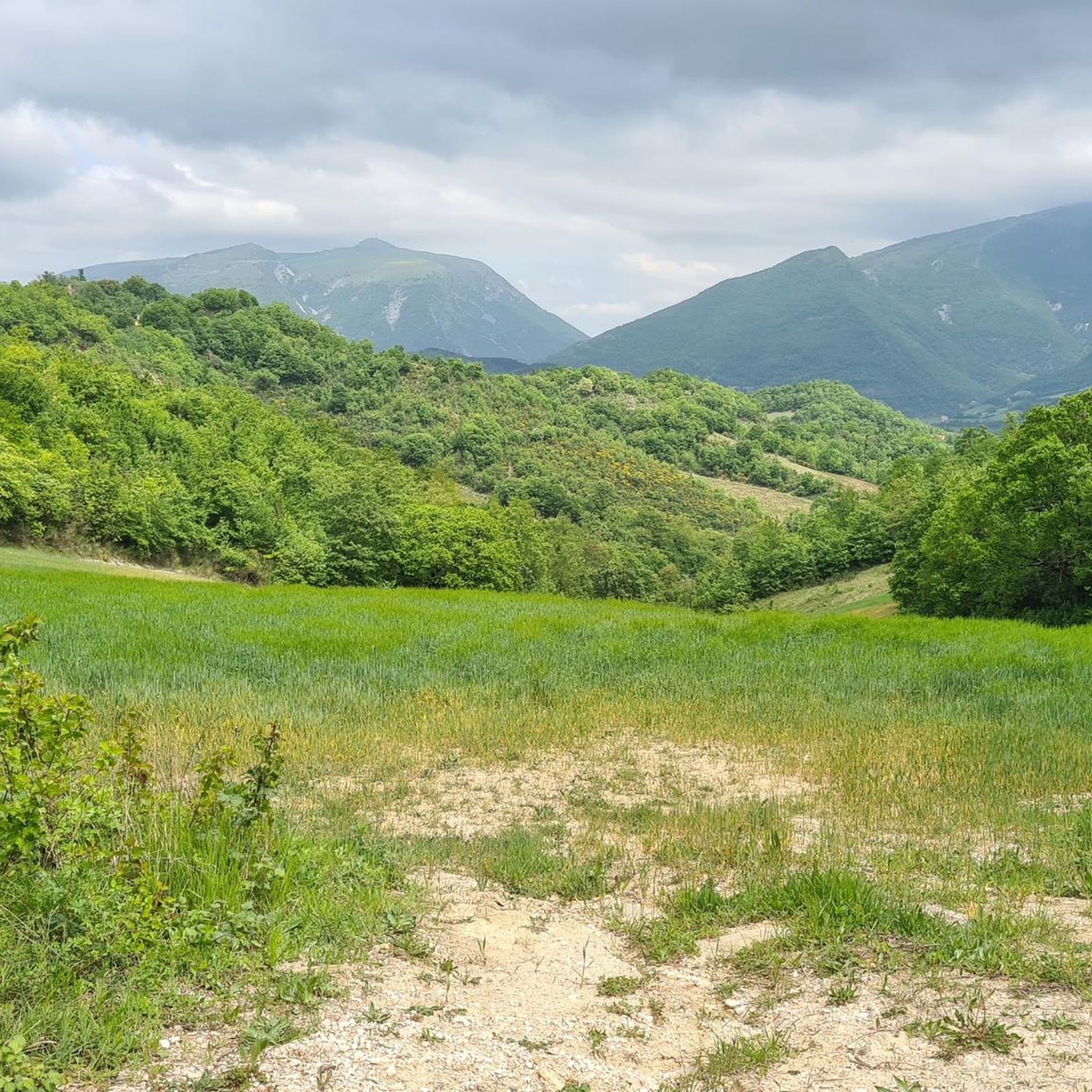
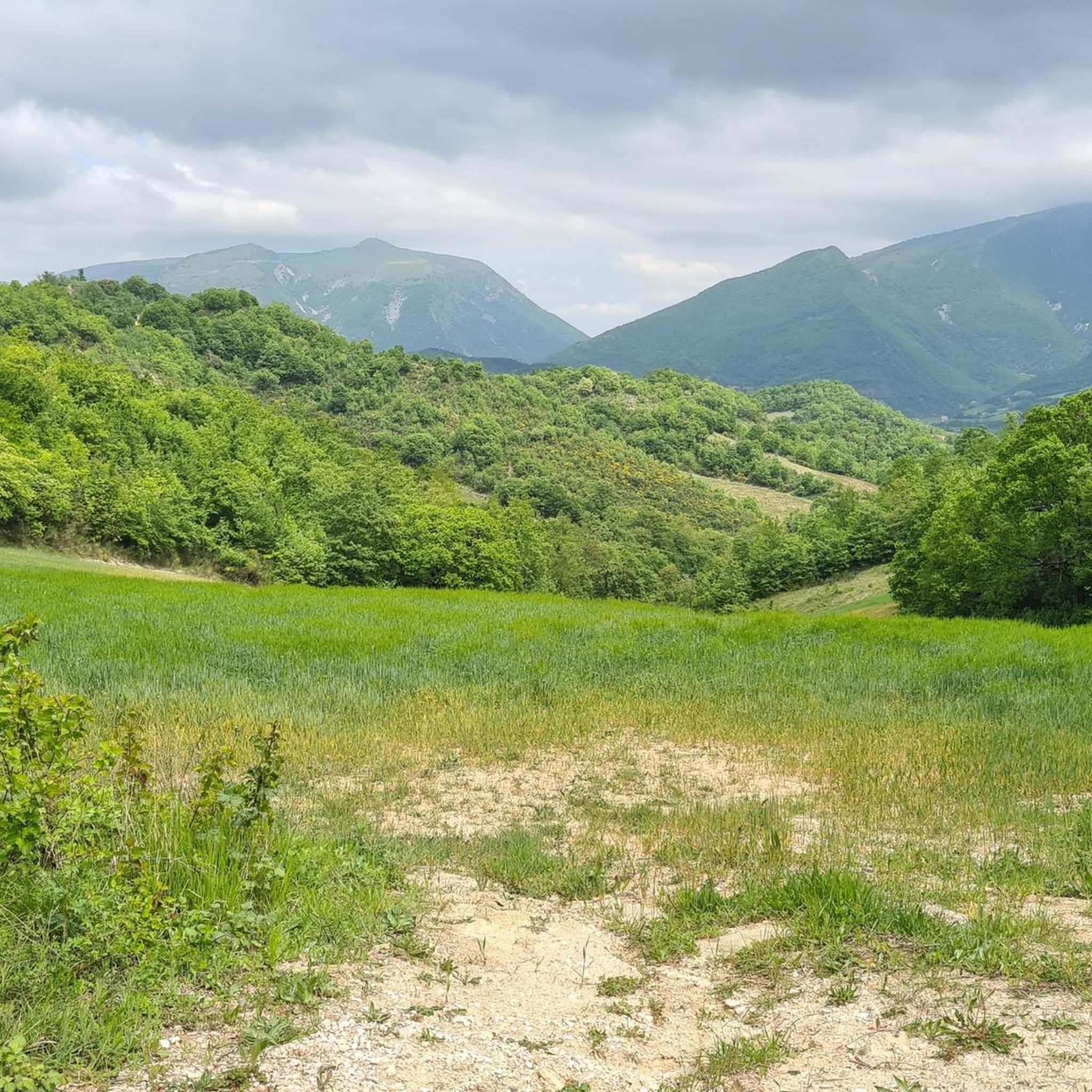
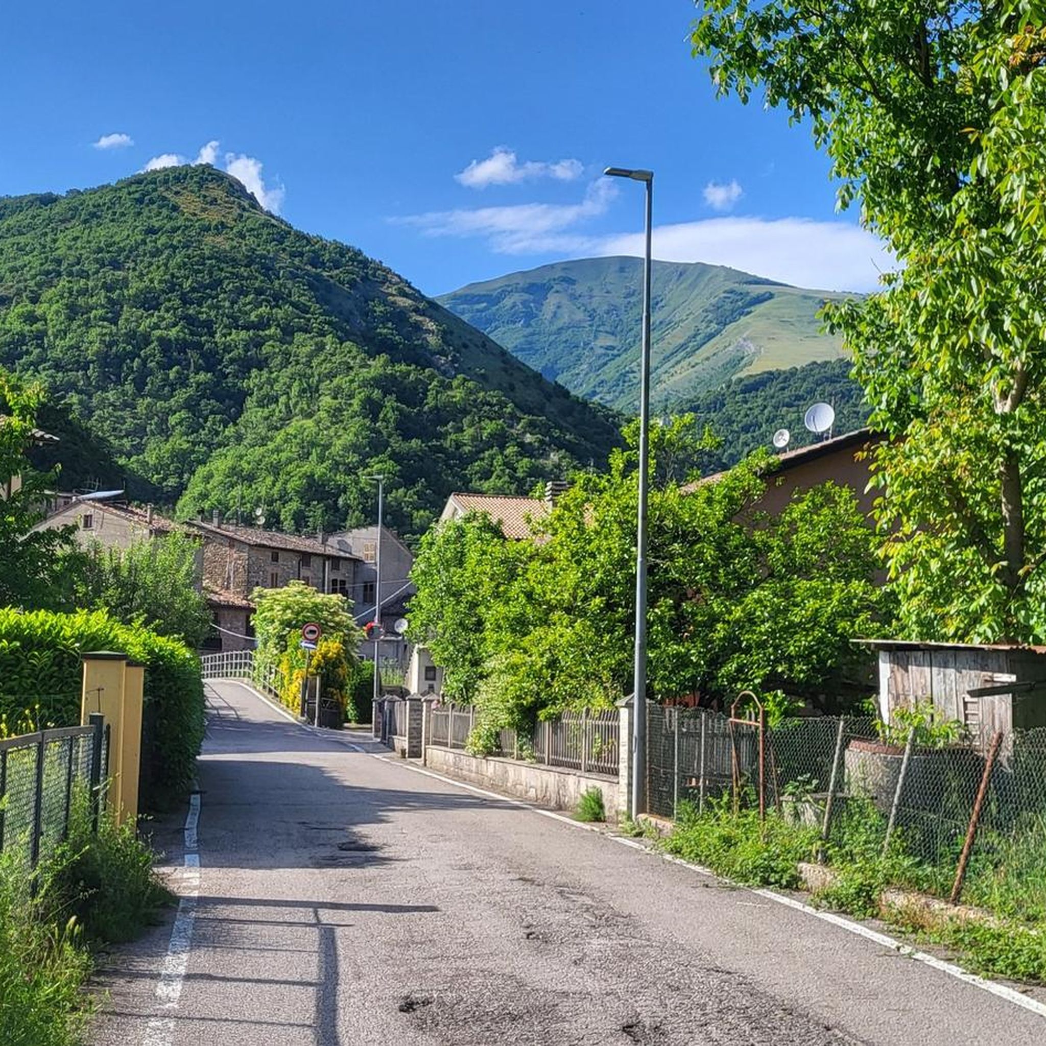
Small hamlet in the heart of the Umbrian-Marche Apennines, on the road to Cagli but an access point for the ascent of Montenerone. Very suggestive, immersed in greenery, surrounded by beauty
0
0

Departing from the Cagli camper area, we begin along the ancient aqueduct trail and for over 6 km it's all uphill, without a moment's respite, but on perfectly passable and safe trails. At the top of Mount Petrano, 1100m above sea level, the view is spectacular; the village at the summit is uninhabited because it's a summer tourist destination. We returned the same way we came. Total time, including breaks, was approximately 6 hours.
0
0

Sorry but is there another way to continue the journey?
0
0

We are about 1 km away from the RAI headquarters antennas
0
0
To sweeten the fatigue, just look around and breathe deeply, the silence takes over, guided by what the eyes see and the fresh air you breathe
0
0
On the right and left of every curve the light paints different panoramas
0
0
Pianello di Cagli is a small town located 394 m above sea level, it rises downstream from Monte Nerone.
0
0

The Burano river between Cagli and Cantiano.
1
0
Frequently Asked Questions
What is the general difficulty level of road cycling routes in Serre Del Burano?
Serre Del Burano offers a diverse range of road cycling routes. While there are a few easier options, the majority of routes are classified as moderate or difficult, featuring significant elevation changes. Out of 56 available routes, 26 are moderate and 28 are difficult, providing ample challenge for experienced cyclists.
Are there any beginner-friendly road cycling routes in Serre Del Burano?
Yes, Serre Del Burano does offer a few routes suitable for beginners. While the region is known for its more challenging terrain, there are 2 routes classified as easy. These typically feature less elevation gain and shorter distances, making them ideal for those new to road cycling or looking for a more relaxed ride.
What is the typical length of road cycling routes in Serre Del Burano?
Route lengths in Serre Del Burano vary significantly. For example, the moderate route Hidden Fountain – Apecchio loop from Agriturismo Piandimolino is 14.2 miles (22.8 km), while more challenging rides like the Apecchio – Monte Nerone loop from Conti Castelguelfo extend to 39.3 miles (63.2 km).
Where can I find parking for road cycling routes in Serre Del Burano?
Many road cycling routes in Serre Del Burano start from or pass through small towns like Apecchio, Piobbico, or near agriturismos. These locations often provide convenient parking options. For instance, routes like Hidden Fountain – Apecchio loop from Agriturismo Piandimolino suggest starting points where parking might be available, often near local accommodations or village centers.
What are some good starting points for road bike trails in Serre Del Burano?
Popular starting points for road cycling in Serre Del Burano include the towns of Apecchio and Piobbico, as well as locations near agriturismos like Agriturismo Piandimolino or Conti Castelguelfo. These spots offer access to various routes, such as the Piobbico – Apecchio loop from Apecchio, providing convenient access to the region's road network.
Are there advanced road cycling routes for experienced riders in Serre Del Burano?
Absolutely. Serre Del Burano is well-suited for advanced road cyclists, with 28 routes classified as difficult. These routes feature substantial elevation gains and longer distances. An example is the Apecchio – Castelfranco Church loop from Serravalle di Carda, which covers 27.4 miles (44.1 km) with over 3,354 feet (1,022 m) of climbing.
What is the best time of year for road biking in Serre Del Burano?
The best time for road cycling in Serre Del Burano is typically during the spring (April to June) and autumn (September to October). During these months, the weather is generally mild and pleasant, with less intense heat than summer and fewer chances of winter snow or ice, making for ideal riding conditions through the rolling hills and forested areas.
Are there loop road bike routes available in Serre Del Burano?
Yes, many road cycling routes in Serre Del Burano are designed as loops, allowing you to start and finish in the same location. Examples include the moderate Hidden Fountain – Apecchio loop from Agriturismo Piandimolino and the more challenging Bocca Serriola Pass – Città di Castello loop from Apecchio, which offers a substantial ride through varied terrain.
What do other road cyclists enjoy most about road cycling in Serre Del Burano?
The komoot community highly rates road cycling in Serre Del Burano, with an average score of 4.4 stars from over 40 reviews. Cyclists often praise the region's varied elevation profiles, quiet rural roads, and scenic forested sections, which provide both challenging climbs and beautiful views of the Umbrian countryside.
Are there cafes or places to stop for refreshments along the road cycling routes?
Given the rural nature of Serre Del Burano, many routes connect or pass through small towns and villages like Apecchio and Piobbico. These settlements often have local cafes, bars, or trattorias where cyclists can stop for refreshments, a coffee, or a meal. Planning your route to include these stops can enhance your cycling experience.
What kind of views can I expect on road cycling routes in Serre Del Burano?
Road cycling in Serre Del Burano offers picturesque views of the Umbrian countryside. You can expect to see rolling hills, dense forested areas, and charming valleys. Routes often provide panoramic vistas, especially from higher elevations, showcasing the natural beauty and rural character of the region.
How many road cycling routes are there in Serre Del Burano?
There are over 50 road cycling routes available in Serre Del Burano, with a total of 56 tours recorded on komoot. This extensive network provides a wide variety of options for cyclists of all skill levels, from moderate rides to challenging climbs.
Most popular routes in Serre Del Burano

Get inspired with the komoot mobile app


Explore more
Browse the best Road cycling routes in other regions.
