The best cycling routes in Riserva Naturale Dell'Alta Valle Del Tevere - Monte Nero
4.1
(76)
1,326
riders
35
rides
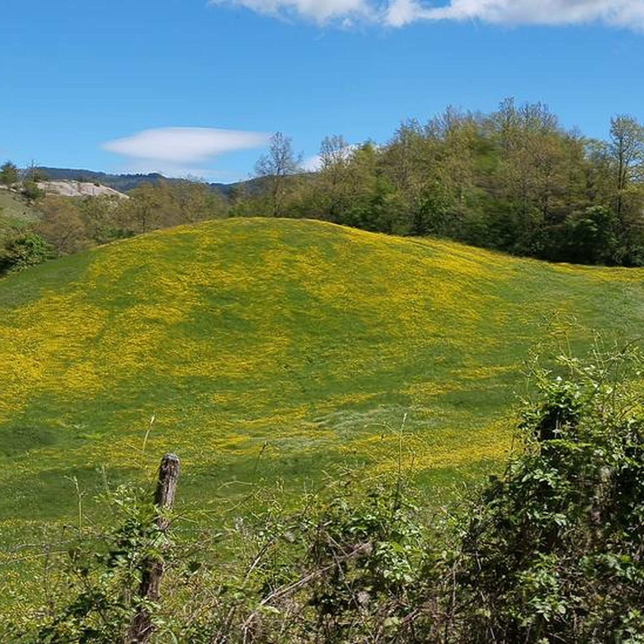
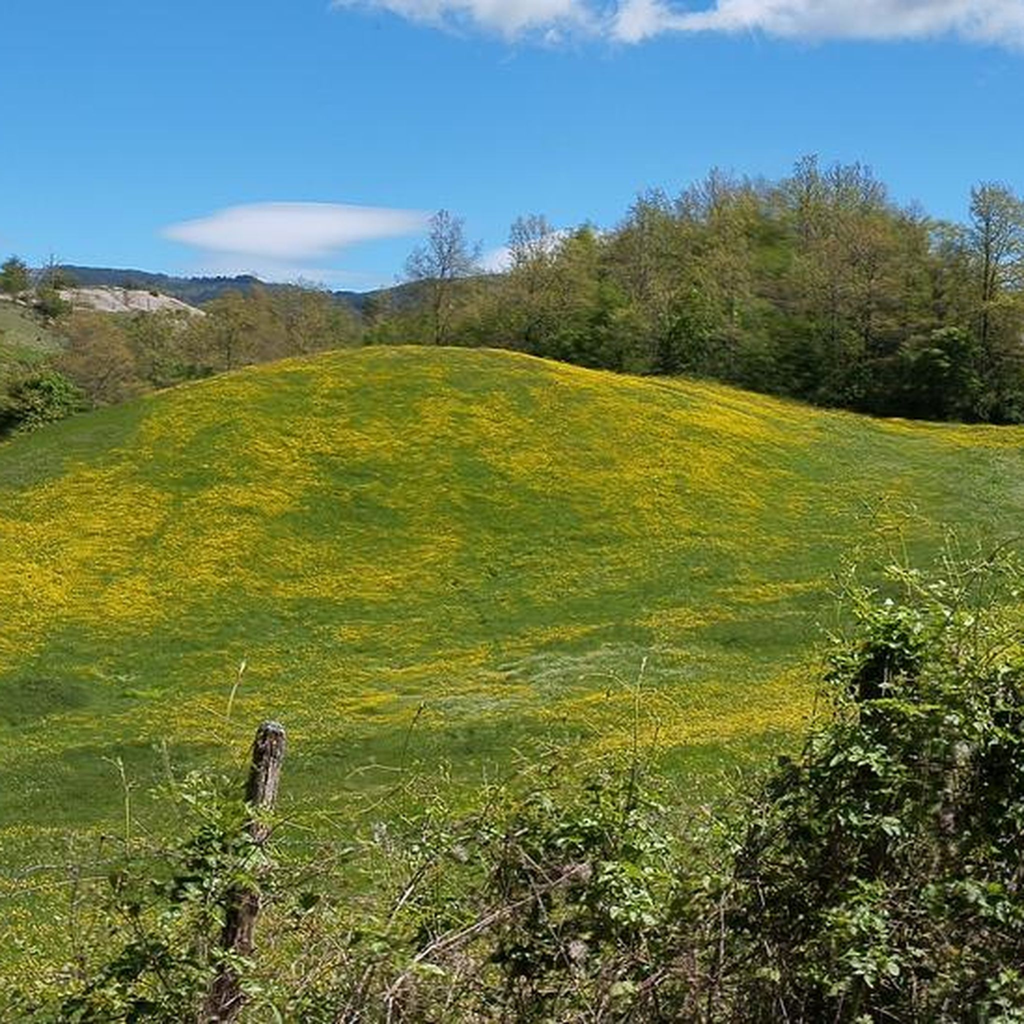
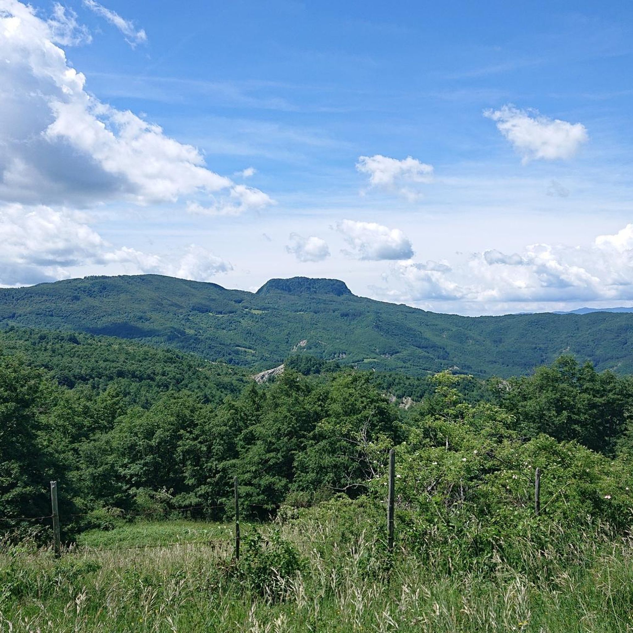
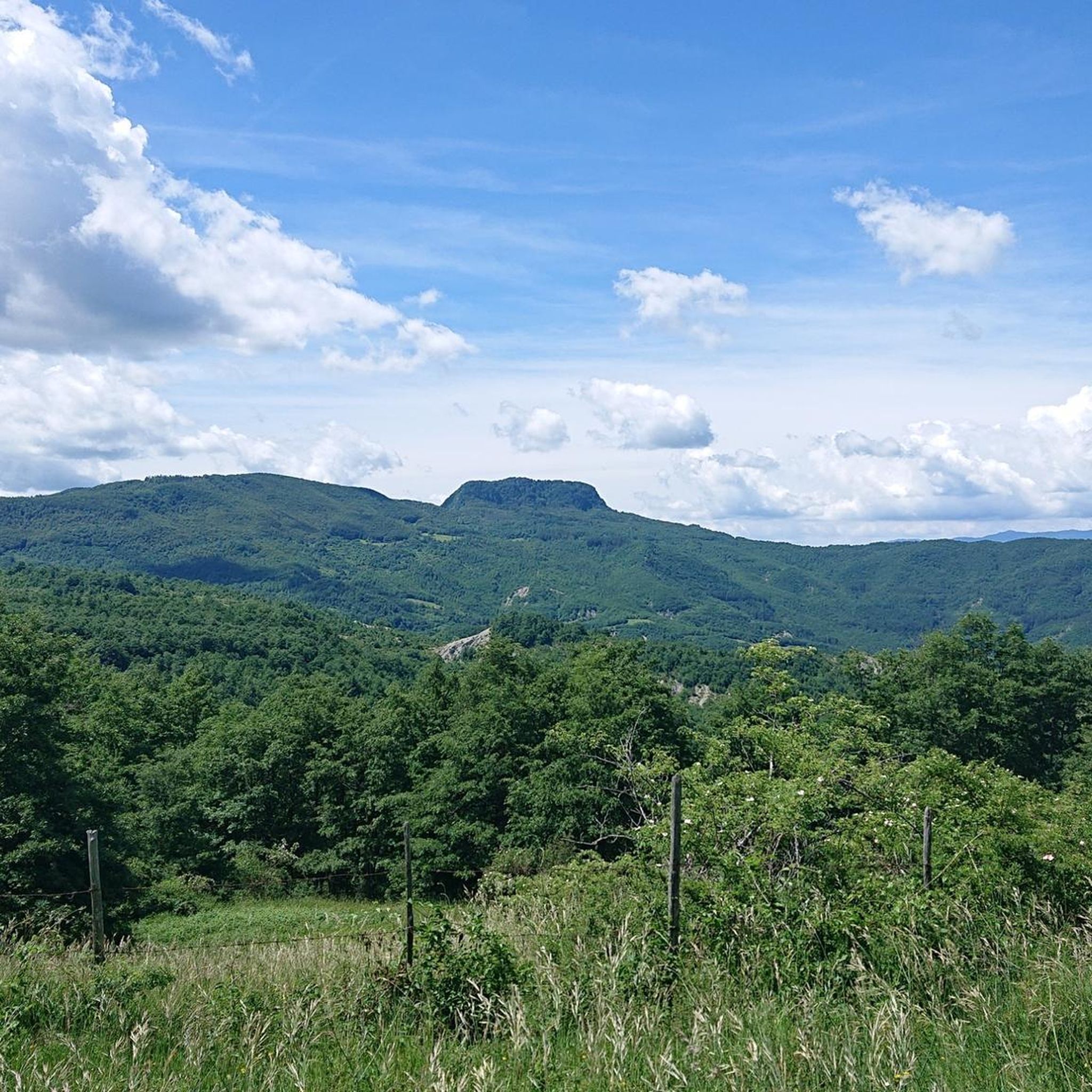
Touring cycling in Riserva Naturale Dell'Alta Valle Del Tevere - Monte Nero traverses an arched mountain ridge, including peaks like Poggio Tre Vescovi and Monte Nero. The initial stretch of the Tiber River flows at the base of the Monte Nero ridge, enriched by the Cananeccia torrent. The landscape features dense woodlands, including Tilio-Acerion and beech forests, interspersed with rocky outcrops and meadows. This area offers diverse terrain for touring cyclists, with routes often providing panoramic views of the surrounding…
Last updated: August 9, 2026
5.0
(3)
6
riders
Hard bike ride. Very good fitness required. Mostly paved surfaces. Suitable for all skill levels.
4.0
(2)
44
riders
44.7km
03:20
780m
780m
Hard bike ride. Very good fitness required. Mostly paved surfaces. Suitable for all skill levels.

Sign up for free
4.5
(2)
15
riders
26.1km
02:03
720m
720m
Hard bike ride. Very good fitness required. Mostly paved surfaces. Suitable for all skill levels.
4.0
(1)
4
riders
54.8km
04:20
1,280m
1,280m
Hard bike ride. Very good fitness required. Mostly paved surfaces. Suitable for all skill levels.
4.3
(3)
30
riders
41.6km
03:07
1,020m
1,020m
Hard bike ride. Very good fitness required. Mostly paved surfaces. Suitable for all skill levels.
Get access to more routes and recommendations from other explorers.
Sign up for free
Already have an account?
Our route recommendations are based on thousands of hikes, rides, and runs completed by other people on komoot.
Start today with a free account
Your next adventure awaits.
Login or Signup
Popular around Riserva Naturale Dell'Alta Valle Del Tevere - Monte Nero
MTB Trails in Riserva Naturale Dell'Alta Valle Del Tevere - Monte Nero
Running Trails in Riserva Naturale Dell'Alta Valle Del Tevere - Monte Nero
Hiking in Riserva Naturale Dell'Alta Valle Del Tevere - Monte Nero
Road Cycling Routes in Riserva Naturale Dell'Alta Valle Del Tevere - Monte Nero

Gravel biking in Riserva Naturale Dell'Alta Valle Del Tevere - Monte Nero
Tips from the Community

The photo is a bit old.. the sign has been literally covered by travelers' stickers
0
0

Free charging, pump and tools for breakdown repair. Free charging and self-repair station for bicycles and e-bike.
0
0

Sheep's milk cheeses of our own production
0
0

But go and think that the Tiber has its source in Romagna... geography lessons at school are far away.....
0
0

Suggestive passage with mountains of clayey rock shaped by rain and wind.
0
0

This relatively flat stretch offers great views and a newly resurfaced surface. Things are rolling here!
0
0

starting point of the classic Balze loop ═════════════════ 182nd excursion and 16th time in the Balze area | loop starting from Valico Monte Fumaiolo passing through Rifugio Moia and Rifugio Giuseppe ════════════════ 👇 here is the video in 4K 👇 https://youtu.be/kt9FOoGmOZc
0
0

The Rifugio lo Scoiattolo in Verghereto is a welcoming oasis surrounded by greenery, located at 1400 meters above sea level, right where the Tiber river originates.
0
0
Frequently Asked Questions
What kind of terrain can I expect when touring cycling in Riserva Naturale Dell'Alta Valle Del Tevere - Monte Nero?
The region features an arched mountain ridge encompassing Poggio Tre Vescovi, Poggio Bastione, and Monte Nero. You'll encounter dense woodlands, including unique Tilio-Acerion and beech forests, interspersed with rocky outcrops, shrubbery, and meadows. The initial stretch of the Tiber River also flows at the base of the Monte Nero ridge, enriched by the Cananeccia torrent, adding river valleys to the diverse landscape.
Are there any easy touring cycling routes suitable for beginners in the area?
While many routes in Riserva Naturale Dell'Alta Valle Del Tevere - Monte Nero are rated difficult, there are 5 moderate touring cycling routes available. One such route is the Source of the Tiber loop from Casteldelci, which is 9.4 miles (15.2 km) long and takes about 1 hour 27 minutes to complete, offering a more accessible option.
What are some notable natural features or landmarks I can see along the cycling routes?
The reserve is characterized by its unspoiled natural environment. You can expect to see dense woodlands, including ancient lime, maple, and beech forests, as well as rugged rocky cliffs and the initial stretch of the Tiber River. The area is also home to diverse wildlife, including large predators like wolves and eagles, and mammals such as deer and fallow deer, offering a chance to reconnect with nature.
What do other touring cyclists enjoy most about cycling in Riserva Naturale Dell'Alta Valle Del Tevere - Monte Nero?
The area is highly rated by the komoot community, with an average score of 4.3 stars from over 50 reviews. Cyclists often praise the diverse terrain, from dense woodlands to mountain ridges and river valleys, and the opportunity to explore an almost undisturbed natural environment.
Are there any circular touring cycling routes available?
Yes, many routes in the region are designed as loops. For example, the Valico Monte Fumaiolo – Monte Fumaiolo Pass loop from Le Ville di Montecoronaro is a popular 11.2 miles (18.1 km) circular route. Another option is the Monte Fumaiolo Pass – Le Balze Village loop from Balze, which covers 14.9 miles (24 km).
What is the best time of year to go touring cycling in Riserva Naturale Dell'Alta Valle Del Tevere - Monte Nero?
Given the region's dense woodlands and mountain ridges, spring and autumn generally offer the most pleasant conditions for touring cycling, with milder temperatures and vibrant foliage. Summer can be warm, especially at lower elevations, while winter might present challenges due to snow or colder weather in higher areas.
Are there any family-friendly touring cycling routes in the reserve?
While many routes are rated difficult, the reserve does offer 5 moderate routes that might be suitable for families with some cycling experience. It's advisable to check the specific route details, including distance and elevation gain, to ensure it matches your family's ability. The Source of the Tiber loop from Casteldelci is a moderate option to consider.
Can I bring my dog on the touring cycling trails in Riserva Naturale Dell'Alta Valle Del Tevere - Monte Nero?
The reserve is an almost undisturbed natural environment, home to diverse wildlife including large predators. While specific regulations for dogs on cycling trails are not detailed, it's generally recommended to keep dogs on a leash to protect the local fauna and ensure their safety, especially in areas with wildlife presence. Always check local signage for any specific restrictions.
Are there places to eat or find refreshments near the cycling routes?
The region is known for its low level of human presence, contributing to its wild beauty. While the reserve itself might have limited facilities, small medieval walled villages such as Valsavignone, Castellare, and Cerignone are located nearby and could offer options for refreshments or meals. It's always a good idea to plan your route and carry sufficient supplies.
Is public transport available to access the touring cycling routes?
The Visitor Center near Passo delle Gualanciole is mentioned as a convenient starting point for the network of paths. However, detailed information on public transport directly serving the reserve's trailheads is not readily available. It's often advisable to check local bus services or consider driving to access the more remote starting points.
Where can I park my car when visiting the Riserva Naturale Dell'Alta Valle Del Tevere - Monte Nero for cycling?
The Visitor Center near Passo delle Gualanciole serves as a convenient starting point for many paths, suggesting it likely has parking facilities. When planning your route, look for designated parking areas near trailheads or in the nearby villages like Valsavignone, Castellare, or Cerignone, which can serve as access points to the reserve.
How many touring cycling routes are there in Riserva Naturale Dell'Alta Valle Del Tevere - Monte Nero?
There are 29 touring cycling routes available in Riserva Naturale Dell'Alta Valle Del Tevere - Monte Nero, offering a wide range of options for exploration.
What is the longest touring cycling route in the area?
One of the longer routes is the Casentino Cycle Path – View of Bibbiena loop from Doccione di Sotto, which spans 27.8 miles (44.7 km) and typically takes about 3 hours 20 minutes to complete, offering extensive views.
Most popular routes in Riserva Naturale Dell'Alta Valle Del Tevere - Monte Nero

Get inspired with the komoot mobile app


Explore more
Browse the best Cycling routes in other regions.
