The best walks and hikes in Vodozaštitno Područje
3.2
(9)
40
hikers
4
hikes
Hiking in Vodozaštitno Područje offers a selection of trails primarily located around the city of Niš and the thermal spa town of Niška Banja in Central Serbia. The terrain features gentle river valleys, urban green spaces, and moderate hills, providing varied landscapes for outdoor activities. Routes often incorporate historical sites like Niš Fortress and offer views of local landmarks.
Best hiking trails in Vodozaštitno Područje
- The most popular hiking route is Niš Fortress loop from Niš, a 4.4 miles…
Last updated: July 8, 2026
1.0
(1)
2
hikers
7.17km
01:49
20m
20m
Easy hike. Great for any fitness level. Easily-accessible paths. Suitable for all skill levels.
3.0
(1)
17
hikers
Easy hike. Great for any fitness level. Easily-accessible paths. Suitable for all skill levels.

Sign up for free
4.2
(5)
16
hikers
11.0km
03:48
600m
600m
Moderate hike. Good fitness required. Easily-accessible paths. Suitable for all skill levels.
4.5
(2)
5
hikers
7.05km
02:18
310m
310m
Moderate hike. Good fitness required. Easily-accessible paths. Suitable for all skill levels.
Our route recommendations are based on thousands of hikes, rides, and runs completed by other people on komoot.
Start today with a free account
Your next adventure awaits.
Login or Signup

Tips from the Community

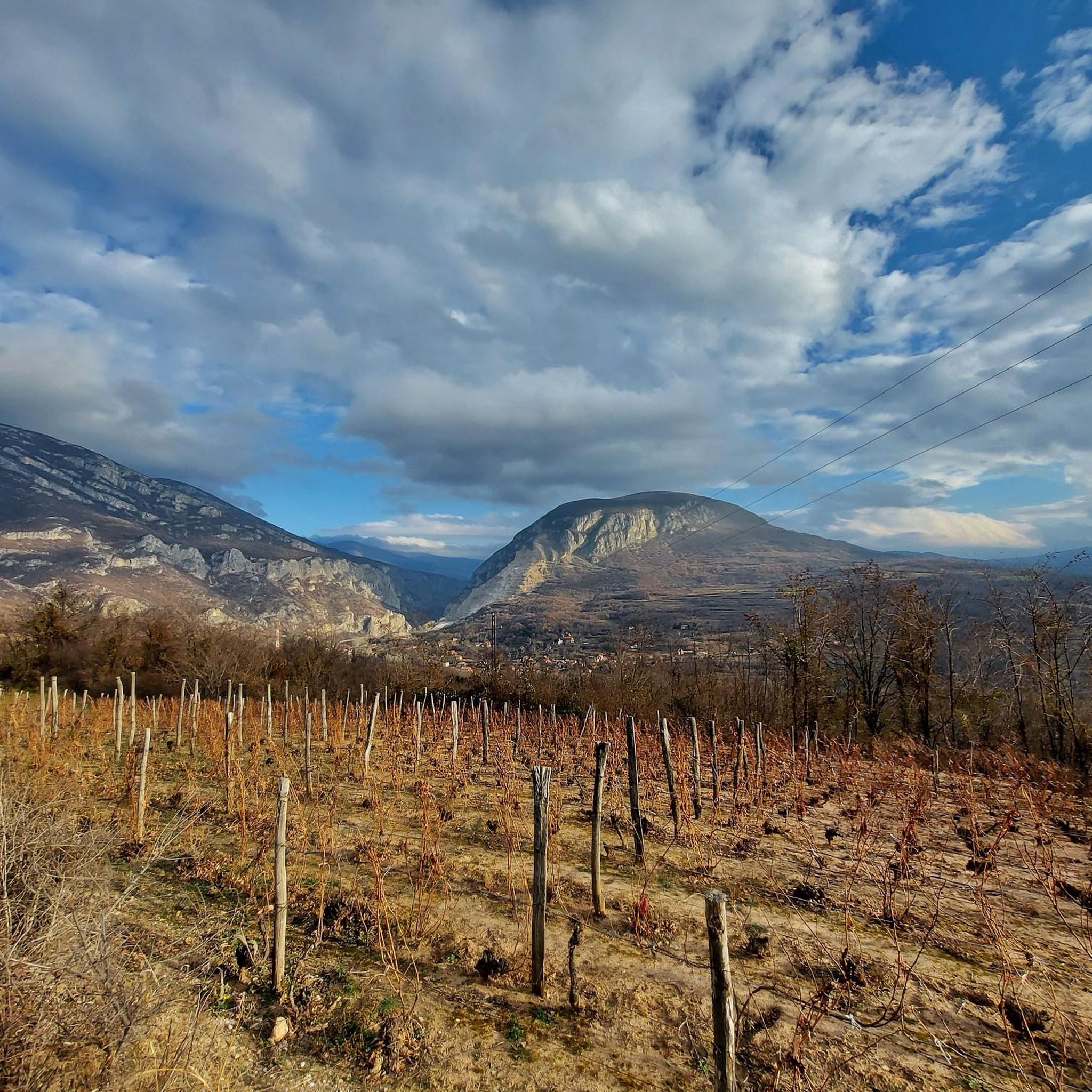
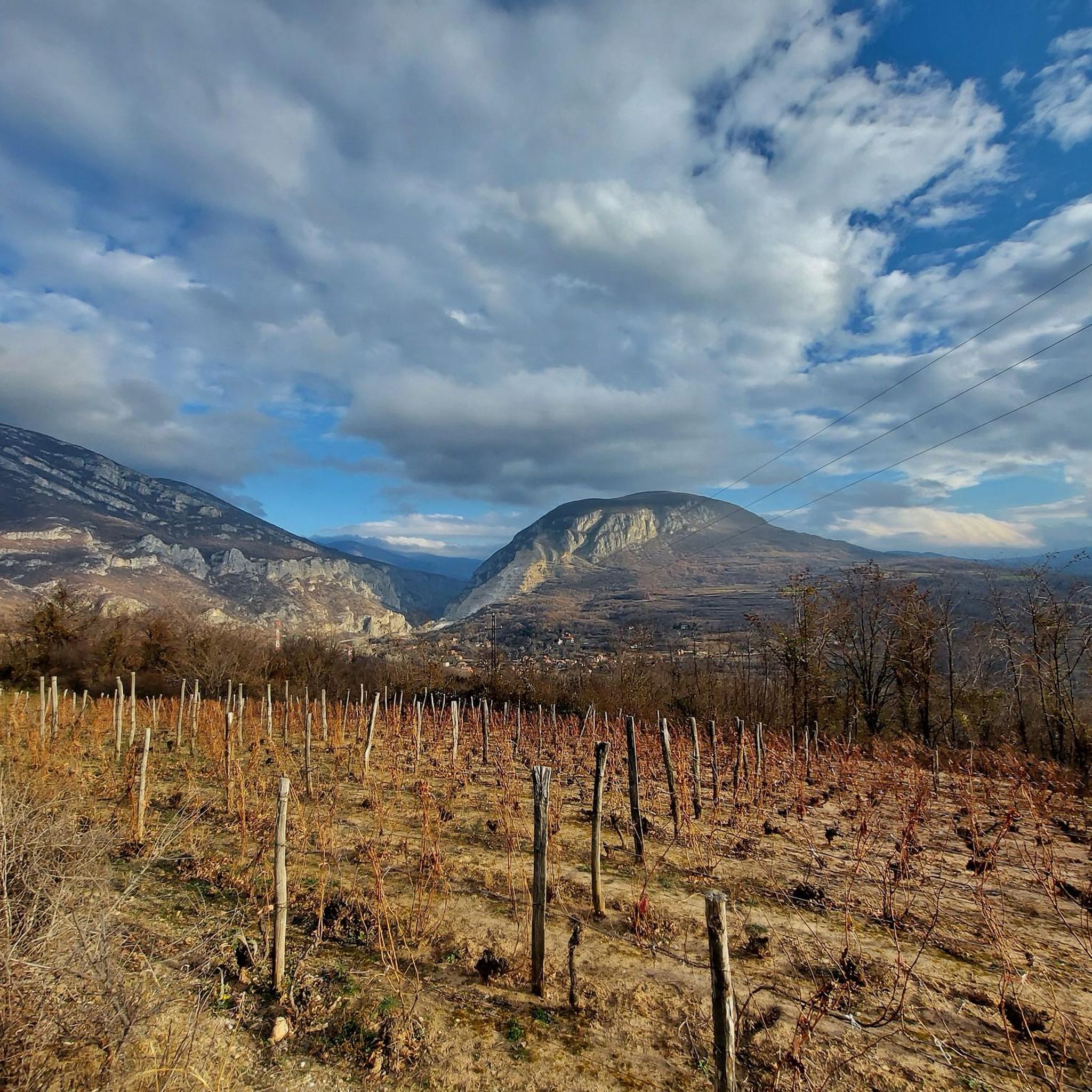
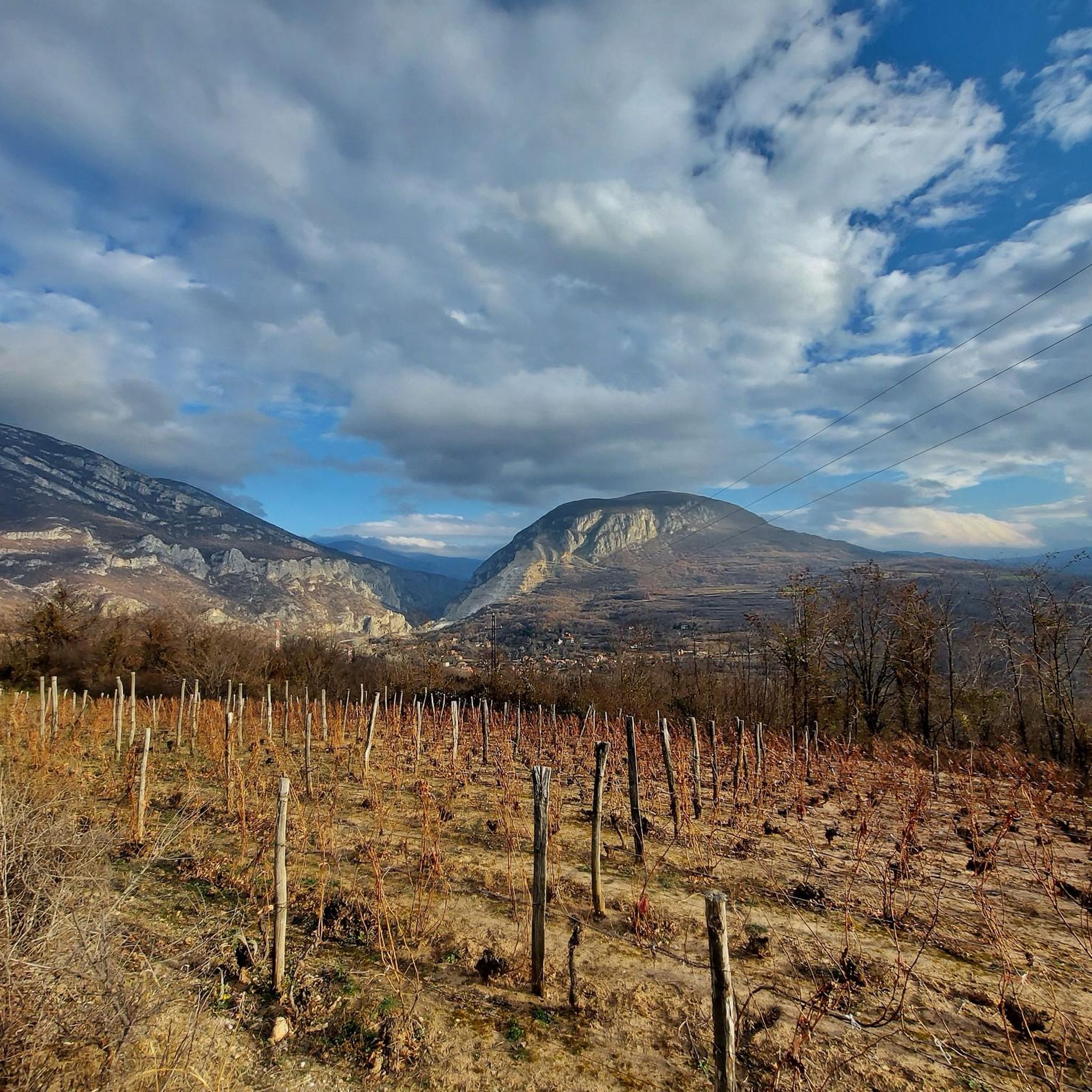
Great picnic spot—this hill offers wide views of the spa town and the new aquapark; bring a mat and enjoy the sunset after your hike.
0
0

Constantine the Great (Roman Emperor) was born in Naissus around 280.
0
0
Niš Fortress (Serbian: Нишка тврђава / Niška tvrđava) is a fortress in the city of Niš, Serbia. It is a complex and important cultural and historical monument. It rises on the right bank of the Nišava River, overlooking the area inhabited for longer than two millennia.[1] It was protected by law in May 1948 as it was declared a cultural site of great significance. The current condition of the fortress lists it as one of the best preserved fortifications of this kind in Serbia as well as on the Balkan Peninsula. Source: Wikipedia
1
0

Collection of ancient stone monuments found in Nis and the surrounding area, many of them from the Roman era, exhibited since the 19th century at various places in town, since 1980 arranged for display in the Fortress area.
0
0
Frequently Asked Questions
How many hiking trails are available in Vodozaštitno Područje?
Vodozaštitno Područje offers a selection of 4 hiking routes, ranging from easy strolls to more challenging moderate climbs. These trails are primarily located around the city of Niš and the thermal spa town of Niška Banja.
Are there easy hikes suitable for beginners or families?
Yes, Vodozaštitno Područje has 2 easy routes perfect for beginners or families. A great option is the Niš Fortress loop from Niš, which is 4.4 miles (7.1 km) and explores historic grounds and parkland. Another easy choice is the Niš Fortress loop from Палилулска рампа, a 3.0 miles (4.9 km) trail through urban green spaces.
What are the typical distances of hikes in Vodozaštitno Područje?
The hikes in Vodozaštitno Područje vary in length. Easy routes like the Niš Fortress loops are around 3.0 to 4.4 miles (4.9 to 7.1 km). Moderate trails, such as the View of Niška Banja Aquapark – Crni Kamen loop from Niska Banja, can be longer, reaching about 6.8 miles (11.0 km).
Are there circular hiking routes in Vodozaštitno Područje?
Yes, several routes in Vodozaštitno Područje are circular. Examples include the Niš Fortress loop from Niš and the View of Niška Banja Aquapark loop from Niska Banja, which allow you to start and end at the same point.
What historical sites or landmarks can I see while hiking?
Many trails incorporate historical sites. The Niš Fortress loop from Niš takes you through the historic Niš Fortress grounds. Other routes offer panoramic views over Niška Banja and its aquapark, providing scenic landmarks.
What do other hikers enjoy most about hiking in Vodozaštitno Područje?
The area is highly rated by the komoot community, with an average score of 3.2 stars from over 8 reviews. Hikers often praise the varied landscapes, from gentle river valleys to urban green spaces, and the opportunity to combine nature with historical exploration.
Is public transport available to reach hiking trailheads?
Given the trails are primarily located around the city of Niš and the thermal spa town of Niška Banja, local public transport options, such as city buses, are generally available to reach areas close to the trailheads. It's advisable to check local bus routes for specific starting points.
Where can I park for hiking in Vodozaštitno Područje?
For trails near urban areas like Niš and Niška Banja, parking is typically available in designated city parking lots or near public spaces. For routes starting directly from the city center, consider public parking garages or street parking where permitted.
Can I bring my dog on the trails in Vodozaštitno Područje?
Many trails in Vodozaštitno Područje, especially those through urban green spaces and riverine paths, are generally dog-friendly. However, it's always recommended to keep your dog on a leash and adhere to any local regulations or signage regarding pets in specific areas.
What is the best time of year to hike in Vodozaštitno Područje?
The best time to hike in Vodozaštitno Područje is typically during spring and autumn when the weather is mild and comfortable. Summer can also be pleasant, especially in the mornings or late afternoons, while winter offers a different, often quieter, experience, though some paths might be slippery.
Are there options for winter hiking in Vodozaštitno Područje?
Yes, hiking is possible in winter, especially on the easier, lower-elevation trails around Niš and Niška Banja. Be prepared for colder temperatures and potentially icy or snowy conditions. Always check weather forecasts and wear appropriate footwear and layers.
What kind of wildlife can I expect to see while hiking?
While Vodozaštitno Područje features urban and semi-urban landscapes, you might encounter common birds, small mammals, and various insects. Along river valleys, you could spot waterfowl. The more natural, hilly areas might offer glimpses of local forest fauna.

Get inspired with the komoot mobile app


Explore more
Browse the best Hikes in other regions.
