The best MTB trails around Hohenpeißenberg
4.5
(53)
209
riders
15
rides
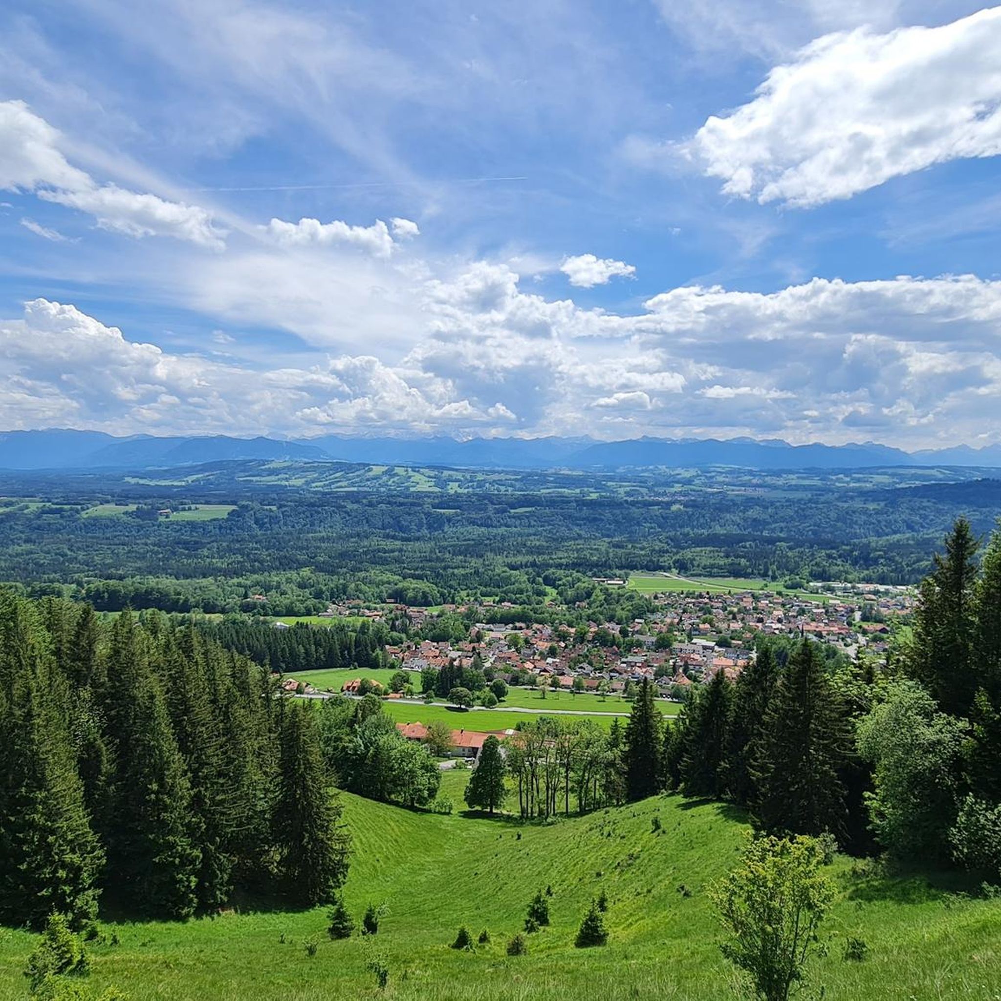
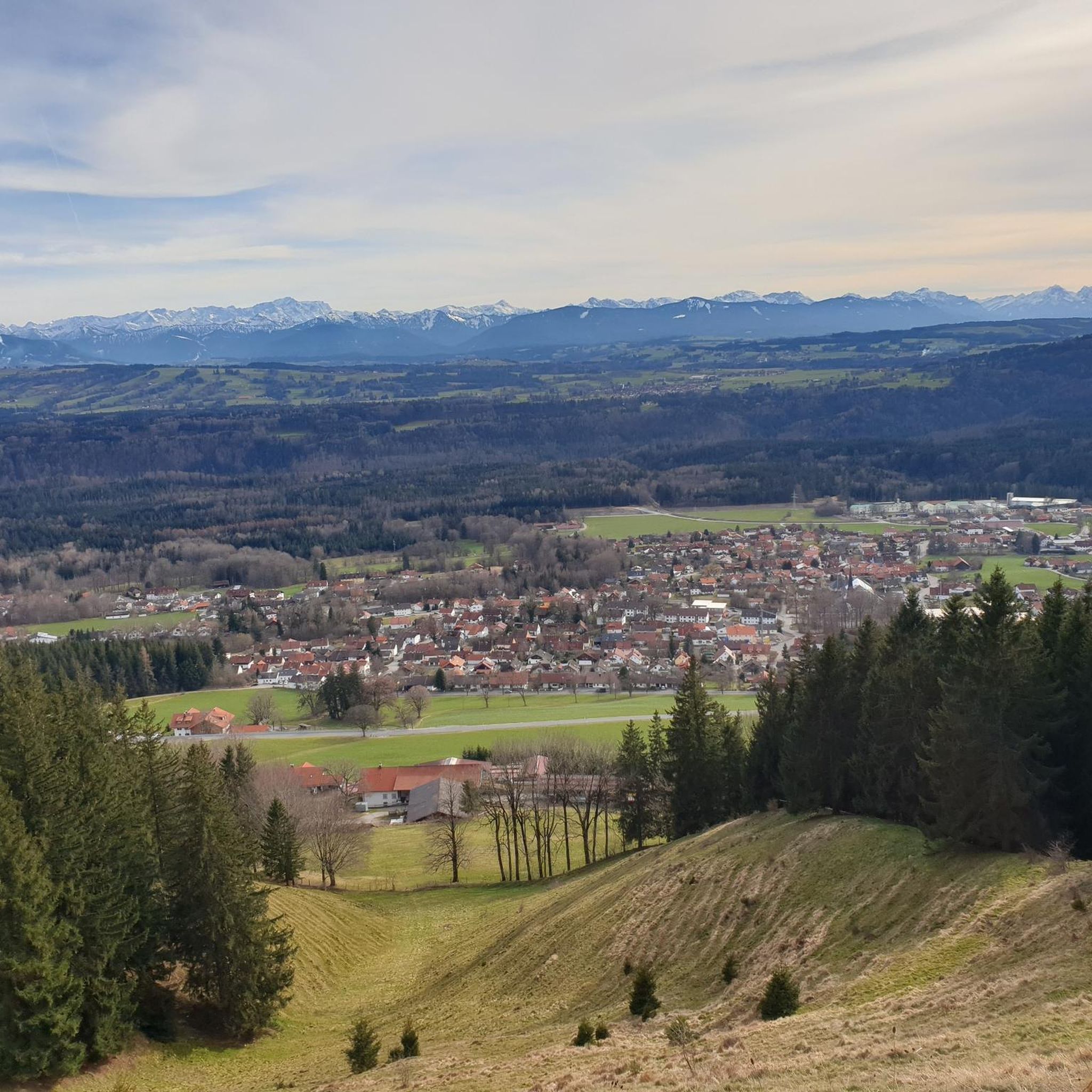
Mountain biking around Hohenpeißenberg offers diverse landscapes, including rolling hills, green meadows, and dense forests. The region is characterized by the Hoher Peißenberg, its highest point at 988 meters, providing panoramic views of the Alpine foothills and various Alpine ranges. River ravines, such as the "Schnalz" of the Ammer river, and moorlands like the Schwarzlaichmoor, add to the varied terrain. This area provides a balance of scenic, mountain bike-appropriate paths away from main roads.
Best mountain bike trails around Hohenpeißenberg
…Last updated: October 15, 2026
4.6
(14)
45
riders
35.7km
02:12
240m
240m
Moderate mountain bike ride. Good fitness required. Suitable for all skill levels.
4.8
(13)
34
riders
36.8km
02:20
360m
360m
Moderate mountain bike ride. Good fitness required. Advanced riding skills necessary.

4.7
(9)
24
riders
31.4km
02:16
400m
400m
Moderate mountain bike ride. Good fitness required. Advanced riding skills necessary.
5.0
(3)
8
riders
49.8km
03:23
520m
520m
Moderate mountain bike ride. Good fitness required. Advanced riding skills necessary.
4.7
(3)
17
riders
Moderate mountain bike ride. Great for any fitness level. Advanced riding skills necessary.
Get access to more routes and recommendations from other explorers.
Already have an account?
Our route recommendations are based on thousands of hikes, rides, and runs completed by other people on komoot.
Start today with a free account
Your next adventure awaits.
Popular around Hohenpeißenberg
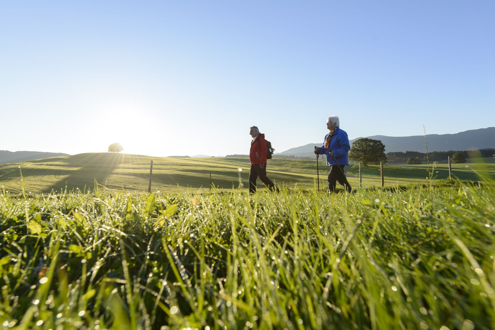
Sacred Landscape Pfaffenwinkel
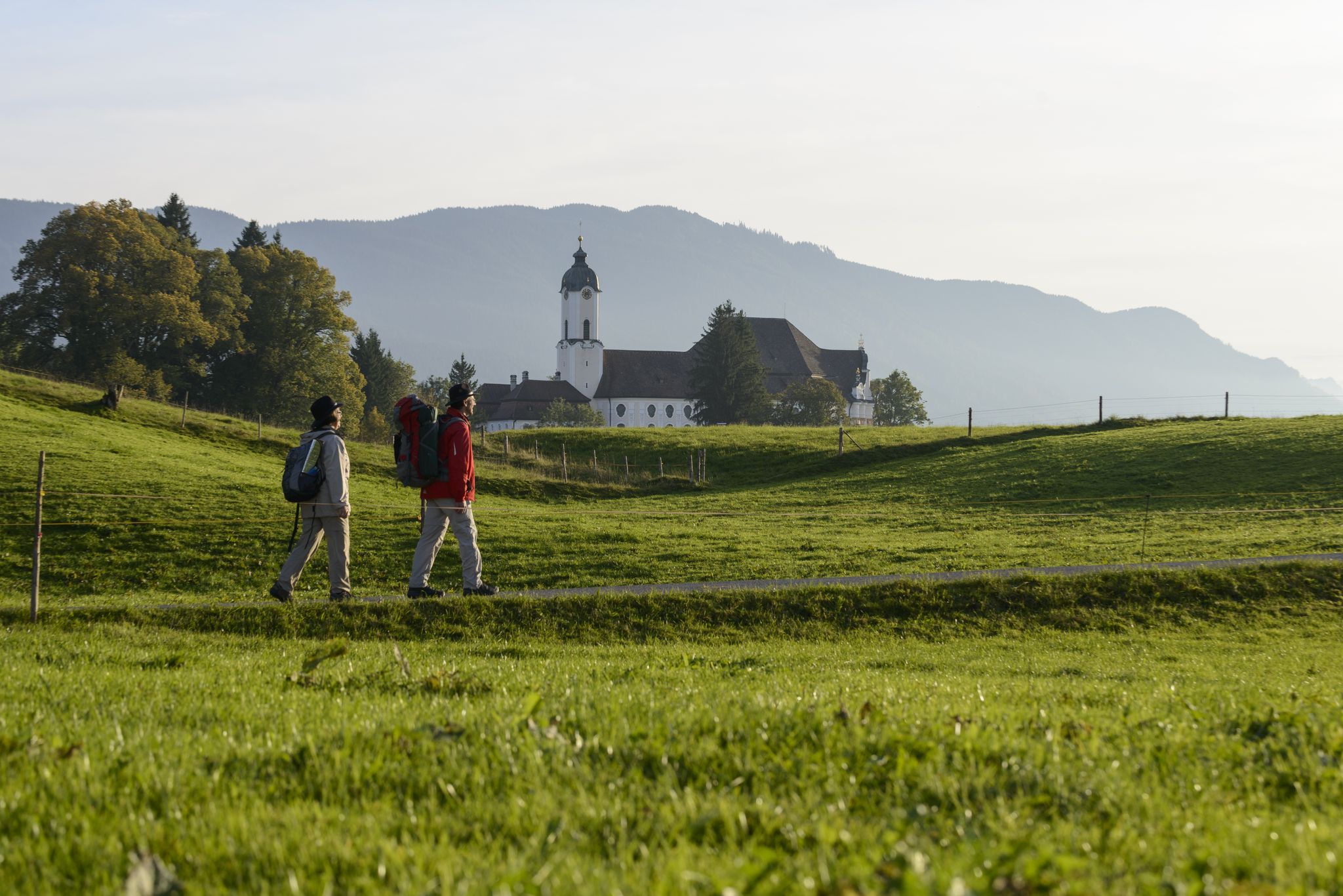
König-Ludwig-Weg: On the trails of Bavaria's fairytale König
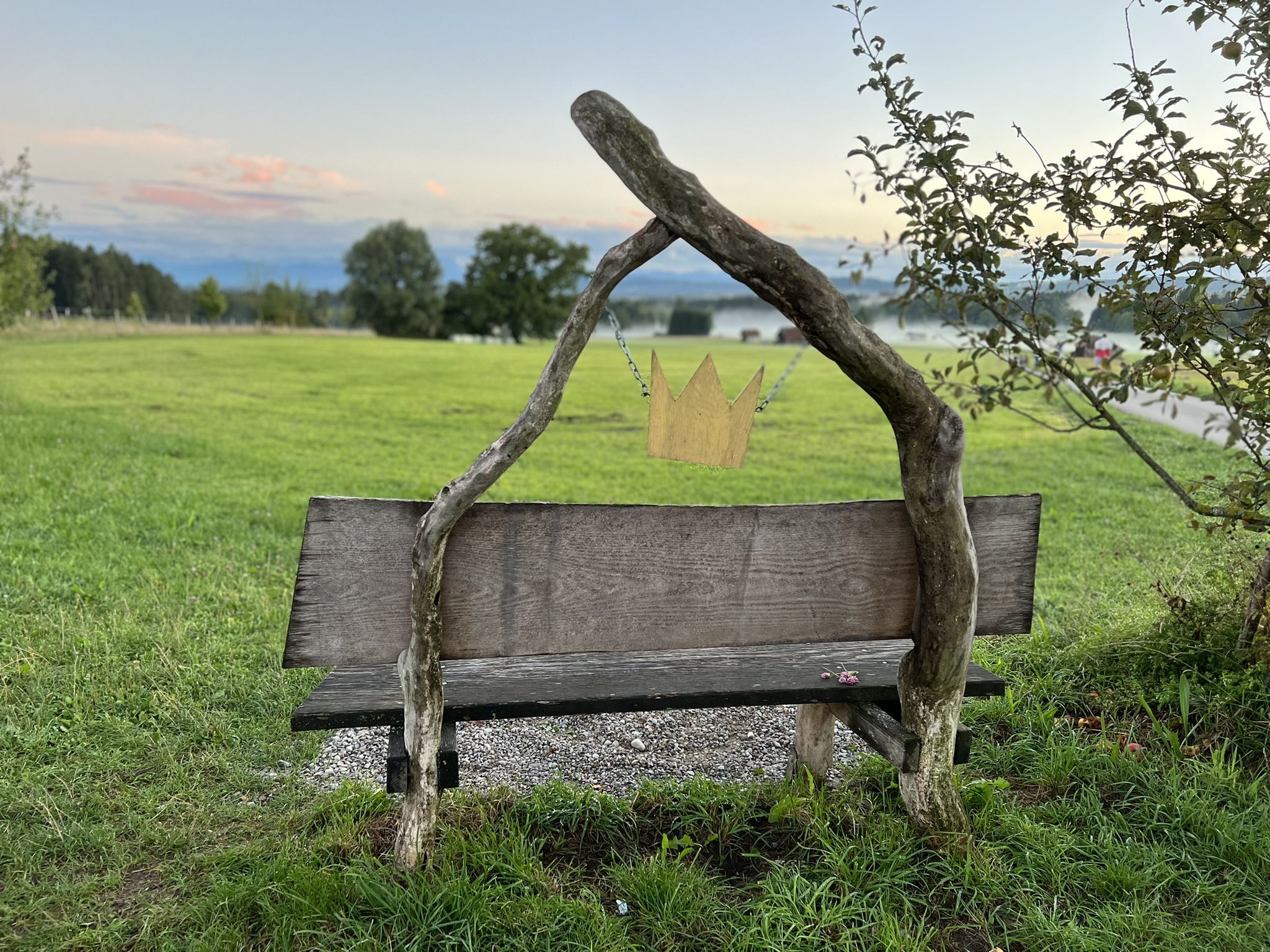
Hike the King Ludwig Trail – in the footsteps of a Bavarian king
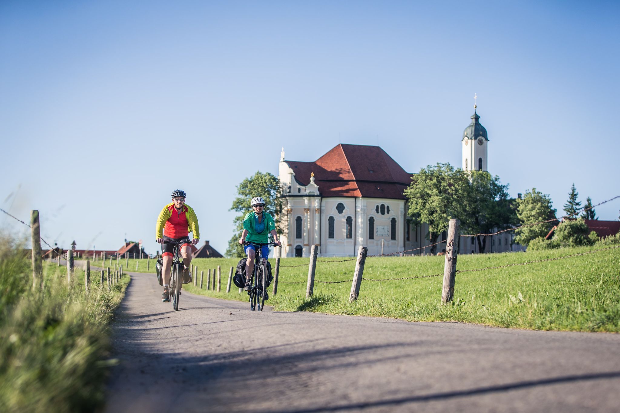
Radpilgern durch den Pfaffenwinkel
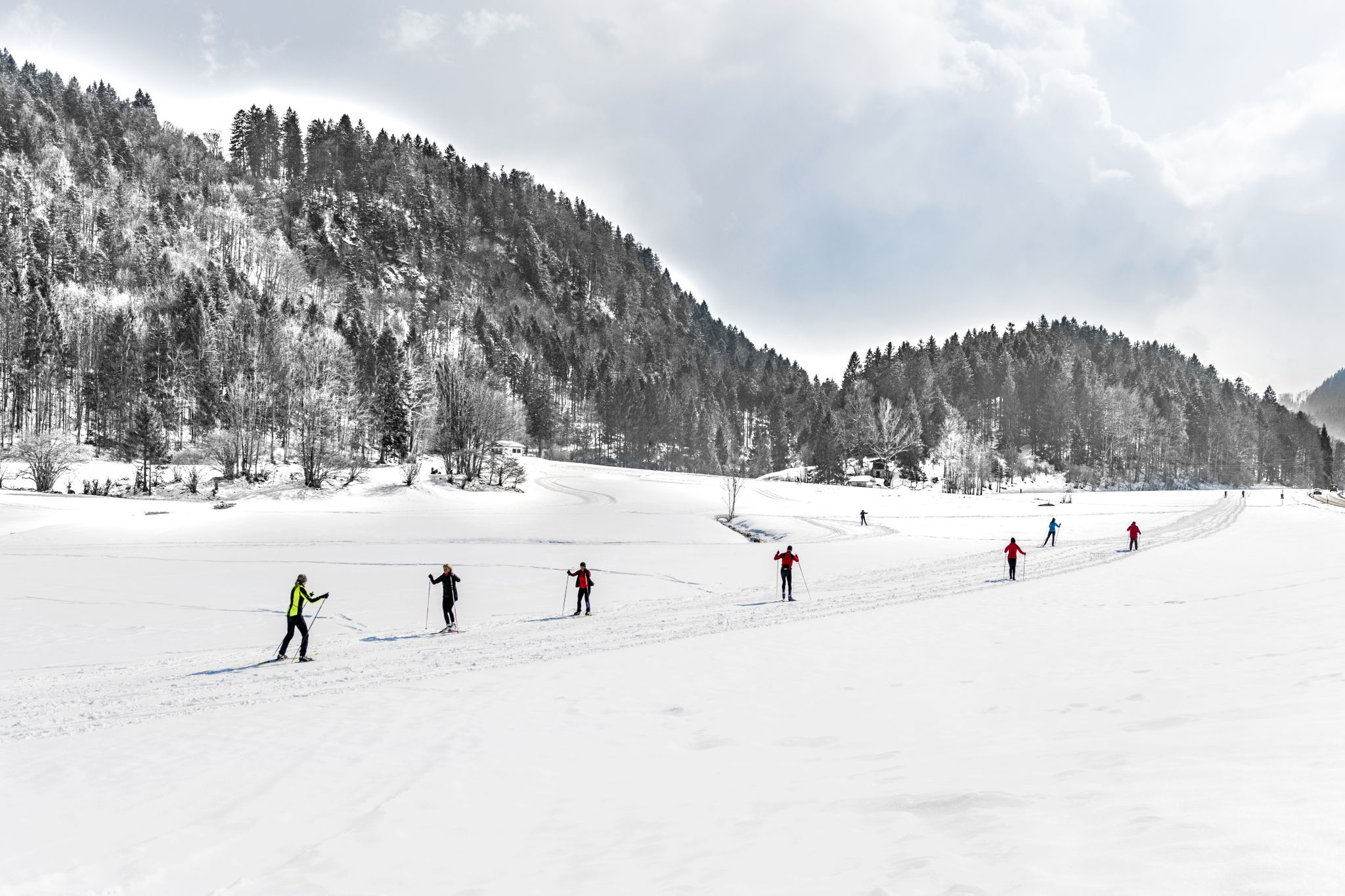
Alpenpanorama und Winterwald: Langlaufen in Oberbayern
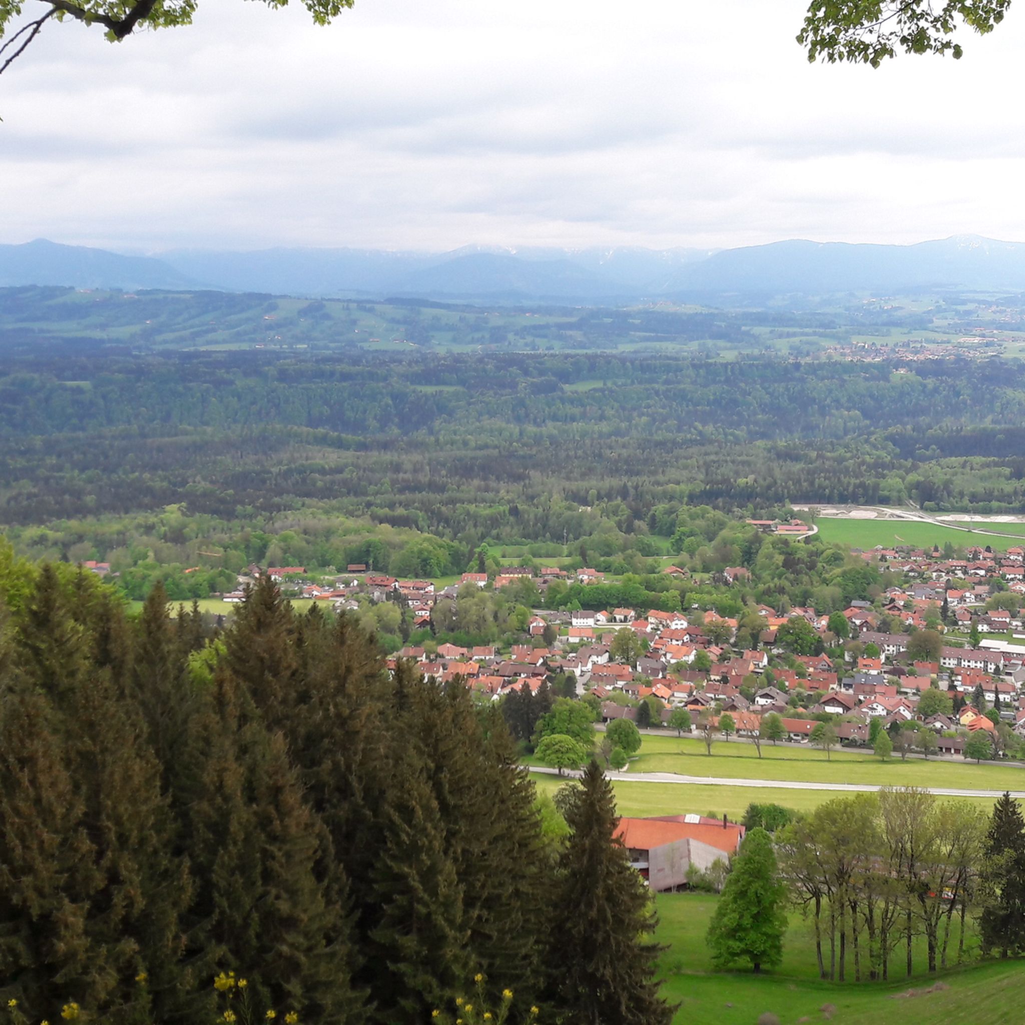
Hiking around Hohenpeißenberg
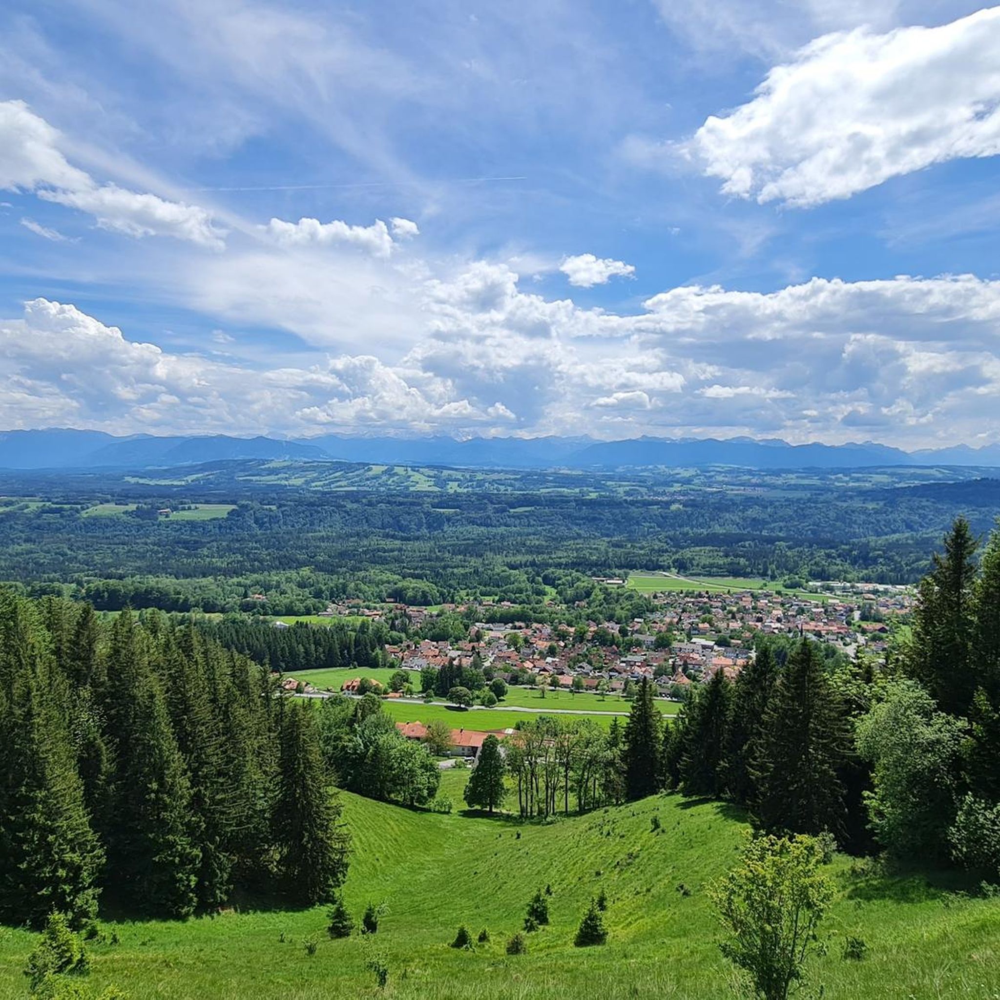
Cycling around Hohenpeißenberg
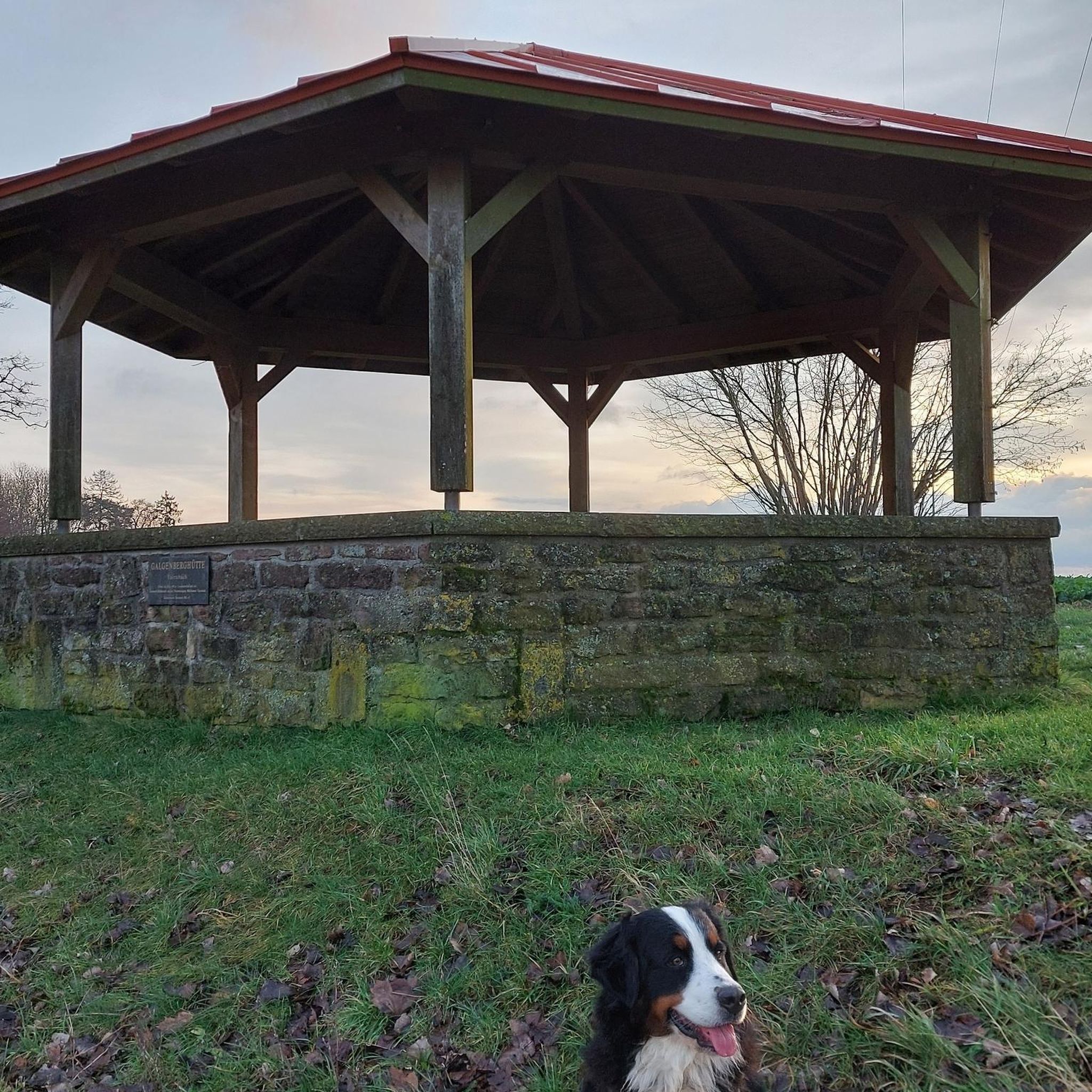
Gravel biking around Hohenpeißenberg
Road Cycling Routes around Hohenpeißenberg
Running Trails around Hohenpeißenberg
Other adventures around Hohenpeißenberg


Tips from the Community

After a construction period of just over a year, the new Marienbrunnen (fountain of Mary) was ceremoniously inaugurated on August 15, 2024. As in earlier times, pilgrims can now rest at a fountain and quench their thirst again after a long journey and a strenuous ascent up the Hohen Peißenberg.
1
0

Local notes for the Ammer near Weilheim Wild river dangers: The town of Weilheim expressly warns that the Ammer is a wild river with unpredictable currents, driftwood, and changed gravel banks. Not a classic bathing water: Due to the changing conditions, weirs (such as the Grundwehr I), and poisonous plants in the bank area, great caution is advised when cooling off in the river. Observe nature conservation: The strict rules of the Ammer Ordinance of the Weilheim-Schongau District Office apply to navigation and entry.
0
0
In the Ammer near Weilheim, the floating water-crowfoot actually grows very prominently. Near the Ammer bridge (Schützenstraße/Wessobrunner Straße), the plant forms dense stands and striking white carpets of flowers in the shore area where the current is slowed down. As the Ammer is a dynamic Alpine river, it quickly carries away the plant sap if the stems are injured. Conclusion: The floating water-crowfoot has an important role in the river 💡🐬💦 It is ecologically important as an oxygen producer and as a spawning plant 🌱🌿🍀🌼
0
0

Again and again, there is a beautiful view of the Hohen Peißenberg.
1
0
Very beautiful monastery complex with the former collegiate church of Maria Geburt.
1
0
Magnificent view of the mountains.
1
0
Very nice border marking between the municipalities of Peiting and Rottenbuch.
2
0
Frequently Asked Questions
What types of mountain bike trails can I expect in Hohenpeißenberg?
Hohenpeißenberg offers a diverse range of mountain bike trails, characterized by rolling hills, dense forests, and open meadows. You'll find a good balance of scenic paths away from main roads, suitable for various skill levels. The region features trails for easy, moderate, and difficult abilities, ensuring there's something for everyone.
Are there mountain bike trails suitable for beginners or families in Hohenpeißenberg?
Yes, Hohenpeißenberg provides several mountain bike trails suitable for beginners and families. The area is known for its varied terrain, including easier paths that allow for a pleasant ride without overly challenging sections. While specific 'easy' routes are available, many moderate trails can also be enjoyed by those with less experience, focusing on scenic beauty rather than extreme technical demands.
Where can I find the best panoramic views while mountain biking in Hohenpeißenberg?
The Hoher Peißenberg, at 988 meters, is the highest point in the region and offers breathtaking, all-round panoramic views of the Alpine foothills, including the Ammersee, Starnberger See, and various Alpine ranges. Many trails incorporate sections with these stunning vistas. For a route that offers great views, consider the View of Hohenpeißenberg – View from Hohenpeißenberg loop from Hohenpeißenberg.
What natural features can I explore along the mountain bike trails?
Beyond the panoramic views from Hoher Peißenberg, the region boasts diverse natural features. You can explore picturesque river ravines, such as the 'Schnalz' ravine of the Ammer river, which also features natural sinter terraces. Moorlands like the Schwarzlaichmoor add to the natural diversity, and many routes lead through dense forests and past scenic ponds, offering a rich natural experience.
Are there any specific attractions or landmarks to look out for on the trails?
Yes, Hohenpeißenberg offers several points of interest. The summit of Hoher Peißenberg is home to the world's oldest mountain weather station, offering an interesting historical and scientific attraction. You can also find various huts and cabins like Bromberg Alm or Windachssee-Alm, which can be great rest stops. Additionally, the historic Via Claudia Augusta cycleway passes through the area, offering a unique cultural element.
What do other mountain bikers enjoy most about mountain biking in Hohenpeißenberg?
The mountain biking experience in Hohenpeißenberg is highly rated by the komoot community, with an average score of 4.8 stars from over 60 reviews. Mountain bikers often praise the diverse landscapes, the balance of scenic paths away from main roads, and the panoramic views of the Alps. The extensive network of trails caters to all skill levels, making it a popular choice for many.
Are there any circular mountain bike routes available?
Yes, many mountain bike routes in Hohenpeißenberg are designed as loops, allowing you to start and end at the same point. For example, the View of Hohenpeißenberg – Deutensee loop from Hohenpeißenberg is a popular moderate route that traverses varied terrain. Another option is the View of Hohenpeißenberg – Scenic Ponds loop from Hohenpeißenberg, which leads through forests and past picturesque ponds.
Can I find places to eat or drink near the mountain bike trails?
Yes, the region has options for refreshments. You'll find various huts and restaurants, such as the Kesslalm Cyclists' Rest Stop on the Via Claudia Augusta or the Cheese-Making Demonstration at Schönegger Käse-Alm. These spots offer opportunities to refuel during or after your ride. The village of Hohenpeißenberg itself also has local establishments.
What is the best time of year for mountain biking in Hohenpeißenberg?
The best time for mountain biking in Hohenpeißenberg is generally from spring through autumn. During these seasons, the weather is typically mild, and the trails are in good condition. The diverse landscapes, including green meadows and dense forests, are particularly beautiful during these months, offering pleasant riding conditions and clear panoramic views.
Are there any lakes visible or accessible from the mountain bike trails?
Yes, the region's proximity to lakes like Ammersee and Starnberger See means they are often visible from higher points, especially from the Hoher Peißenberg. Some routes, such as the View of Hohenpeißenberg – Deutensee loop from Hohenpeißenberg, offer glimpses of local lakes. You can also find smaller lakes like Schwaigsee or Engelsrieder Lake in the vicinity.
How many mountain bike trails are there in Hohenpeißenberg?
There are over 19 mountain bike trails around Hohenpeißenberg listed on komoot, offering a wide range of options for different skill levels and preferences. This includes 5 easy, 13 moderate, and 1 difficult trail, ensuring a varied experience for all riders.
Is there parking available near the mountain bike trailheads?
While specific parking locations are not detailed for every trailhead, Hohenpeißenberg is well-equipped for outdoor enthusiasts. You can typically find designated parking areas in and around the municipality, especially near popular starting points for hiking and cycling routes. It's advisable to check local signage upon arrival for the most convenient parking options.
Most popular routes around Hohenpeißenberg
Most popular attractions around Hohenpeißenberg

Get inspired with the komoot mobile app


Explore more
Browse the best MTB trails in other regions.
