The best mountain hikes in Sic Altopiano Dei Sette Comuni
4.8
(21)
151
hikers
14
hikes
Mountaineering routes in Sic Altopiano Dei Sette Comuni traverse a diverse and rugged natural landscape, characterized by karst formations, extensive forests, and high-altitude meadows. The region features prominent rock zones and notable peaks such as Cima Manderiolo (2051 m), Monte Erio (1628 m), and Monte Zebio (1819 m). This varied terrain provides a range of challenges for mountaineers.
Best mountaineering routes in Sic Altopiano Dei Sette Comuni
- The most popular mountaineering route is Cima Portule – Cornetti di Bocchetta Portule…
Last updated: July 4, 2026
13
hikers
13.6km
05:23
700m
700m
Hard mountaineering route. Very good fitness required. Mostly accessible paths. Sure-footedness required.
5.0
(3)
9
hikers
11.0km
04:58
790m
790m
Moderate mountaineering route. Good fitness required. Mostly accessible paths. Sure-footedness required.

Sign up for free
3.0
(1)
7
hikers
7.59km
03:57
620m
620m
Moderate mountaineering route. Good fitness required. Mostly accessible paths. Sure-footedness required.
3
hikers
5.79km
02:07
230m
230m
Moderate mountaineering route. Good fitness required. Mostly accessible paths. Sure-footedness required.
5
hikers
4.13km
01:28
200m
200m
Moderate mountaineering route. Great for any fitness level. Mostly accessible paths. Sure-footedness required.
Get access to more routes and recommendations from other explorers.
Sign up for free
Already have an account?
Our route recommendations are based on thousands of hikes, rides, and runs completed by other people on komoot.
Start today with a free account
Your next adventure awaits.
Login or Signup
Popular around Sic Altopiano Dei Sette Comuni
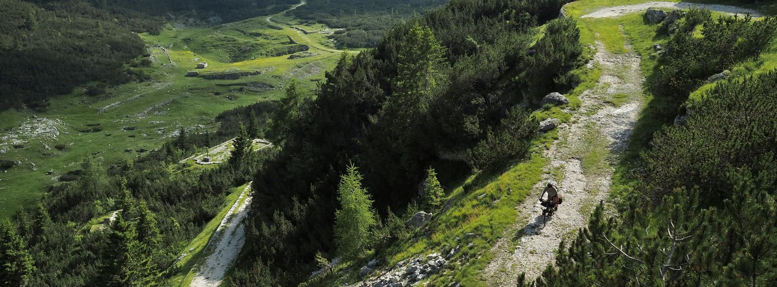
Across the high Italian plains – bikepacking the Asiago Loop
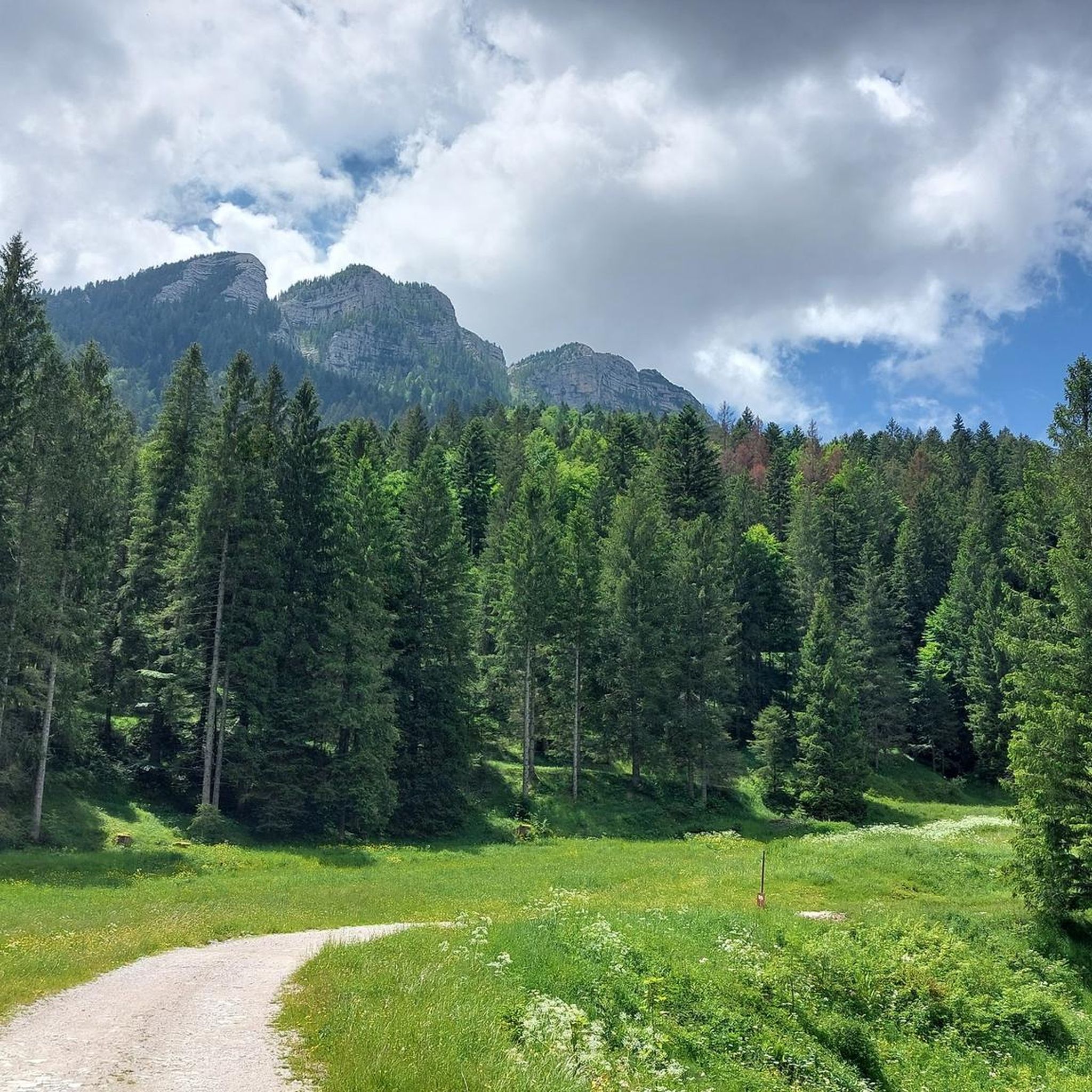
Hiking in Sic Altopiano Dei Sette Comuni
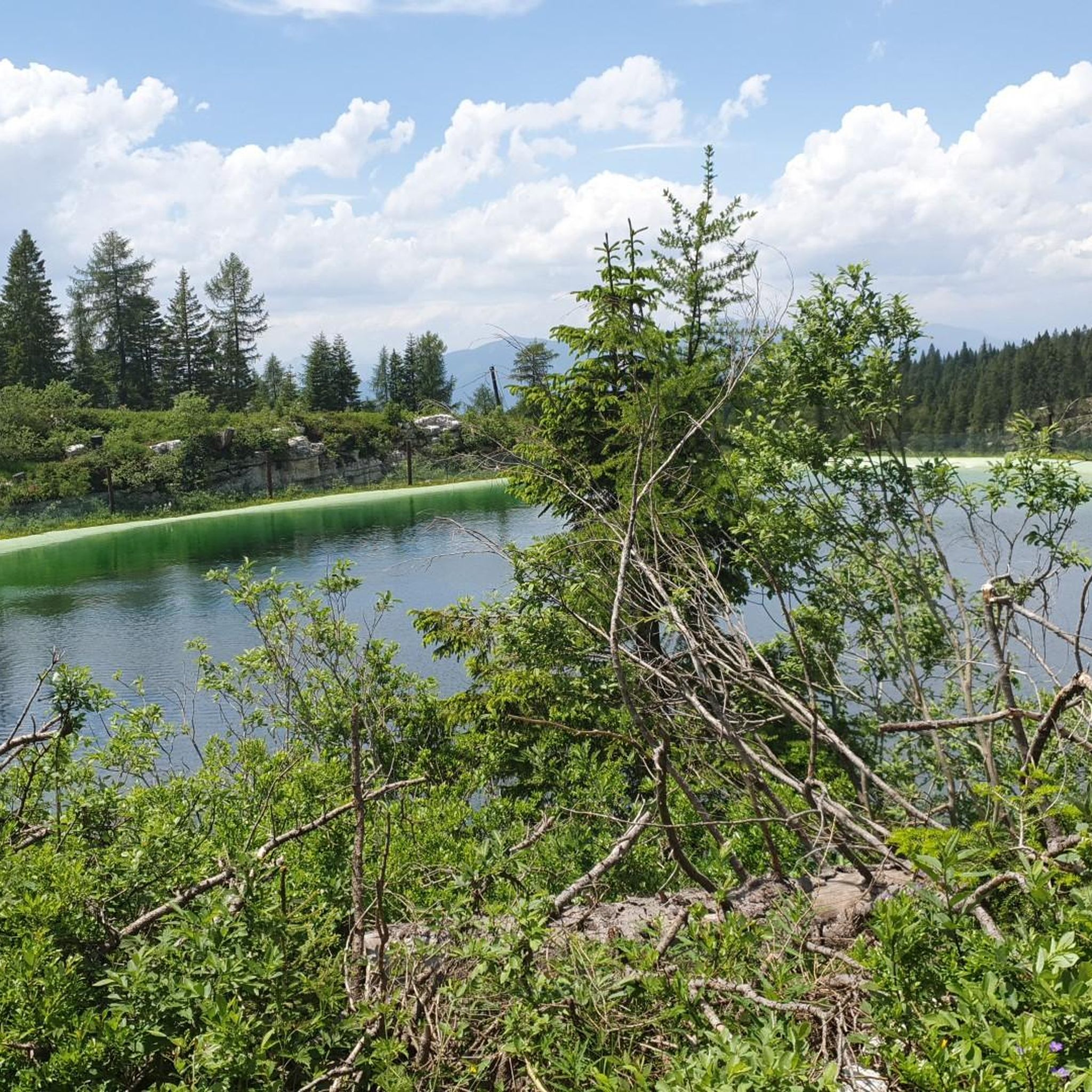
Road Cycling Routes in Sic Altopiano Dei Sette Comuni
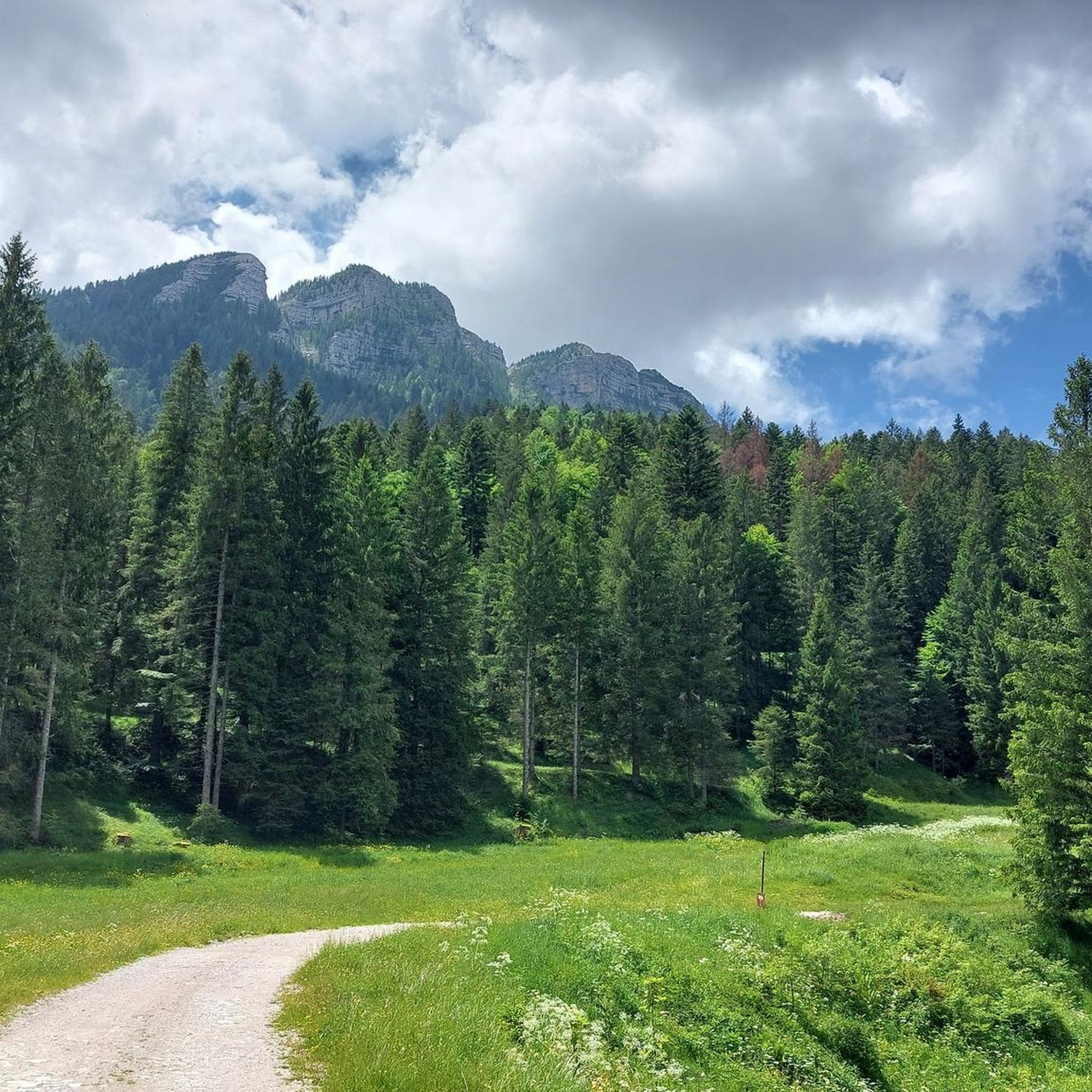
MTB Trails in Sic Altopiano Dei Sette Comuni
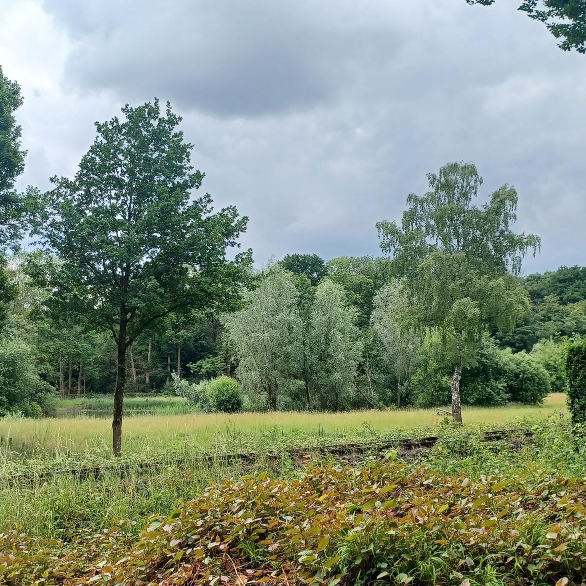
Gravel biking in Sic Altopiano Dei Sette Comuni
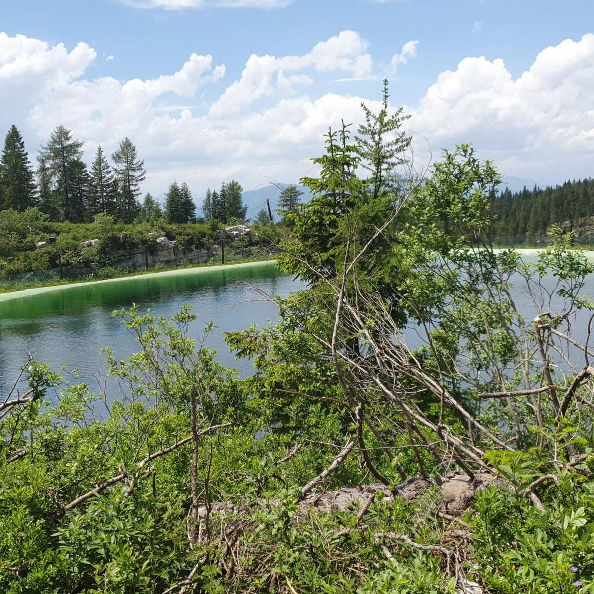
Running Trails in Sic Altopiano Dei Sette Comuni
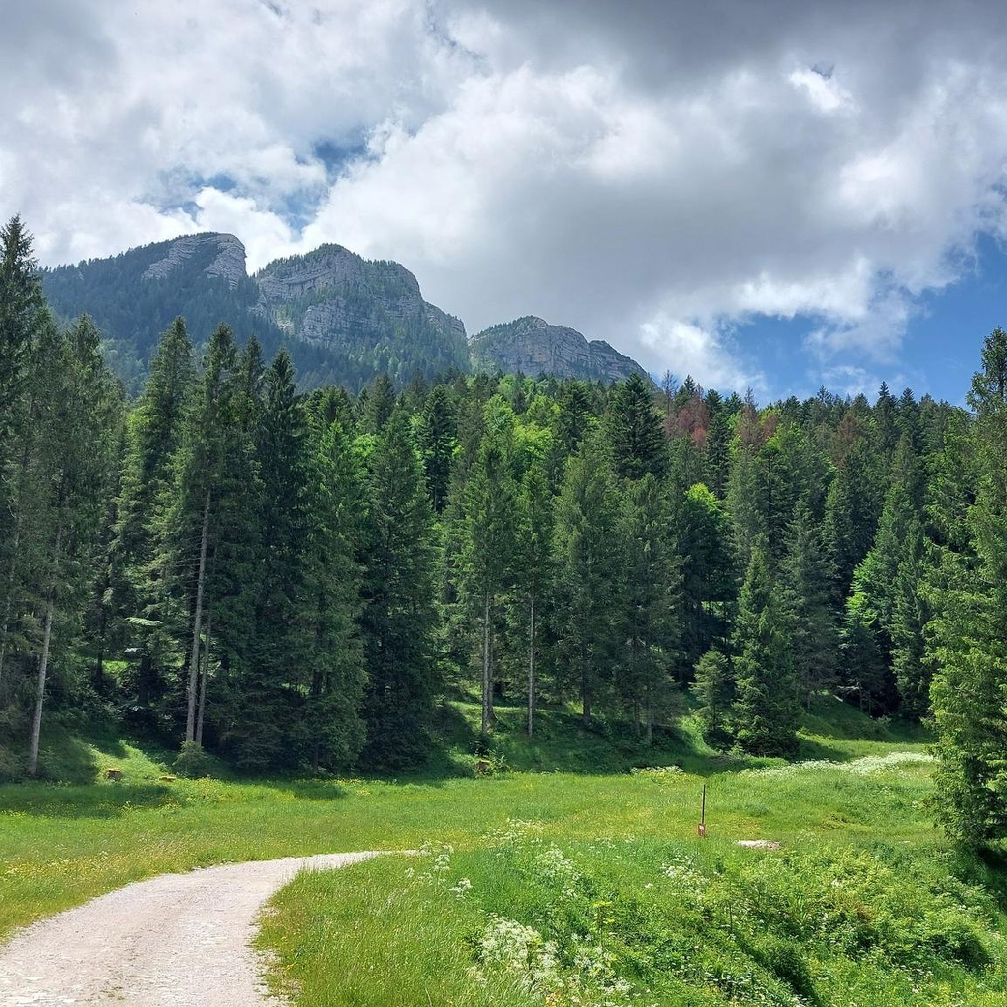
Cycling in Sic Altopiano Dei Sette Comuni
Other adventures in Sic Altopiano Dei Sette Comuni

Tips from the Community

The important crossroads of the roads built by the Austro-Hungarian army on the front line of the Great War
0
0
The rest area built before the entrance to the fort
1
0
Former mountain hut transformed into accommodation in a grassy hollow. In winter, an important cross-country ski center with well-maintained trails
0
0
The beautiful trail for a scenic hike on cima Manderiolo
0
0


Starting from Malga Galmarara, at a good pace, you can reach the summit in about 2 hours and 10 minutes. The route presents no real difficulties, except for the last, rather steep section and a descent where you need to be careful to avoid slipping on the rocks. There are two summit books where you can leave a message.
1
0
The summit is easily reachable with good training, the path is never dangerous or exposed, if you continue the tour towards Cima Larici you must pay close attention to the steep descent
0
0

beautiful wide valley with large parking lot
0
0
Frequently Asked Questions
How many mountaineering routes are available in Sic Altopiano Dei Sette Comuni?
There are 16 mountaineering routes in Sic Altopiano Dei Sette Comuni. These routes traverse a diverse and rugged natural landscape, offering a range of challenges for mountaineers.
What is the general difficulty level for mountaineering in Sic Altopiano Dei Sette Comuni?
The mountaineering routes in Sic Altopiano Dei Sette Comuni are evenly split between moderate and difficult. There are 8 moderate routes and 8 difficult routes, providing options for various skill levels. The terrain is characterized by karst topography, dense forests, and high-altitude meadows.
Are there any family-friendly mountaineering routes in the region?
While mountaineering routes generally require a certain level of fitness and experience, some of the moderate trails might be suitable for families with older, experienced children. For example, the Porta Manazzo – Campi Mandrioli Trail loop from Rifugio Larici is a moderate route that is shorter in distance and elevation gain compared to others, making it a potentially more accessible option.
What kind of natural features and landmarks can I expect to see along the mountaineering routes?
The region is rich in natural and historical landmarks. You can encounter prominent peaks like Portule Peak and Bocchetta Portule, as well as unique geological formations such as the Castelloni di San Marco, a distinctive rock labyrinth. The area also features significant World War I historical sites like the Mount Ortigara Memorial and Forte Verena, which are often integrated into the trails.
Are there any circular mountaineering routes available?
Yes, many of the mountaineering routes in Sic Altopiano Dei Sette Comuni are circular. Examples include the challenging Cima Dodici Summit – Italia Junction loop from Monte Zingarella, which offers expansive views, and the moderate Lower Larici Mountain Hut – Portule Peak loop from Rifugio Larici, leading through forested areas.
What is the best time of year for mountaineering in Sic Altopiano Dei Sette Comuni?
The warmer months are generally ideal for mountaineering, allowing access to the full network of trails. However, the Altopiano dei Sette Comuni also transforms in winter, offering opportunities for ski mountaineering and ice climbing on frozen waterfalls, particularly on the steep and rocky northern faces of the high mountains.
Are there any specific peaks or high-altitude features to aim for?
Absolutely. The region boasts several notable peaks. Cima Dodici, the highest at 2336 meters, offers breathtaking views, accessible via routes like the Cima Dodici Summit – Italia Junction loop from Monte Zingarella. Other significant peaks include Cima Portule, Cima Larici, Monte Ortigara, and Monte Cengio, all providing challenging ascents and stunning vistas.
What do other mountaineers enjoy most about the routes in Sic Altopiano Dei Sette Comuni?
The mountaineering routes in Sic Altopiano Dei Sette Comuni are highly rated by the komoot community, with an average score of 4.8 stars. Reviewers often praise the varied terrain, from karst formations and dense forests to high-altitude meadows, and the challenging ascents to prominent peaks.
Are there any options for moderate mountaineering routes?
Yes, half of the routes in the region are classified as moderate. For instance, the Rifugio Larici – Larici Peak loop from Rifugio Larici is a moderate route that offers a rewarding experience without the extreme demands of the most difficult trails.
Can I find places to eat or stay near the mountaineering trailheads?
The Altopiano dei Sette Comuni has a network of mountain huts (rifugi) that provide essential support for longer excursions, offering both food and accommodation. Additionally, the broader Asiago plateau region offers various cafes, pubs, and accommodation options for hikers and mountaineers.
What kind of wildlife might I encounter while mountaineering?
The Altopiano dei Sette Comuni is known for its rich biodiversity. While on the trails, you might spot deer, chamois, and eagles. The region is also home to rare species such as the Capercaillie and Aurora Salamander, highlighting its excellent natural integrity.
Most popular routes in Sic Altopiano Dei Sette Comuni
Most popular attractions in Sic Altopiano Dei Sette Comuni

Get inspired with the komoot mobile app


Explore more
Browse the best Mountain Hikes & Routes in other regions.
