The best walks and hikes around Hohen Neuendorf
4.5
(970)
6,137
hikers
333
hikes
Hiking around Hohen Neuendorf, situated northwest of Berlin, features diverse landscapes including the Havel river and Oder-Havel Canal, extensive pine woods, and areas of moorland and meadows. The region is characterized by its position within Berlin's "green belt," offering a network of trails through natural settings. Hikers can explore varied terrain from waterside paths to secluded woodlands and open landscapes.
Best hiking trails around Hohen Neuendorf
- The most popular hiking route is Quiet forest paths – Briesetal Boardwalk loop from Borgsdorf, a 6.5 miles (10.5 km) trail that takes 2 hours 42 minutes to complete, leading through tranquil woodlands and along a boardwalk.
- Another top favourite among local hikers is Alder carr forest in the Briese Valley – Briese Valley Nature Reserve loop from Borgsdorf, a moderate 5.7 miles (9.2 km) path. This route explores the unique alder carr forest within the Briese Valley Nature Reserve.
- Local hikers also love the Humboldt Bridge – Briese River Boardwalk loop from Hohen Neuendorf, a 5.0 miles (8.0 km) trail leading through varied terrain, often completed in about 2 hours 4 minutes.
- Hiking around Hohen Neuendorf is defined by waterside paths along the Havel river, extensive pine woods, and open moorland. The network offers options for different ability levels, from easy walks to more challenging treks.
- The routes in Hohen Neuendorf are highly rated by the komoot community with an average score of 4.6 stars from over 400 reviews. More than 2,600 hikers have used komoot to explore Hohen Neuendorf's varied terrain.
Last updated: July 4, 2026
4.6
(68)
210
hikers
10.2km
02:37
50m
50m
Moderate hike. Good fitness required. Easily-accessible paths. Suitable for all skill levels.
4.7
(62)
187
hikers
Moderate hike. Good fitness required. Easily-accessible paths. Suitable for all skill levels.

Sign up for free
4.3
(16)
51
hikers
Moderate hike. Good fitness required. Easily-accessible paths. Suitable for all skill levels.
4.6
(7)
48
hikers
20.4km
05:14
90m
90m
Hard hike. Very good fitness required. Easily-accessible paths. Suitable for all skill levels.
4.5
(19)
52
hikers
20.9km
05:19
50m
50m
Hard hike. Very good fitness required. Easily-accessible paths. Suitable for all skill levels.
Get access to more routes and recommendations from other explorers.
Sign up for free
Already have an account?
Our route recommendations are based on thousands of hikes, rides, and runs completed by other people on komoot.
Start today with a free account
Your next adventure awaits.
Login or Signup
Popular around Hohen Neuendorf

Hiking the Berlin Wall Trail
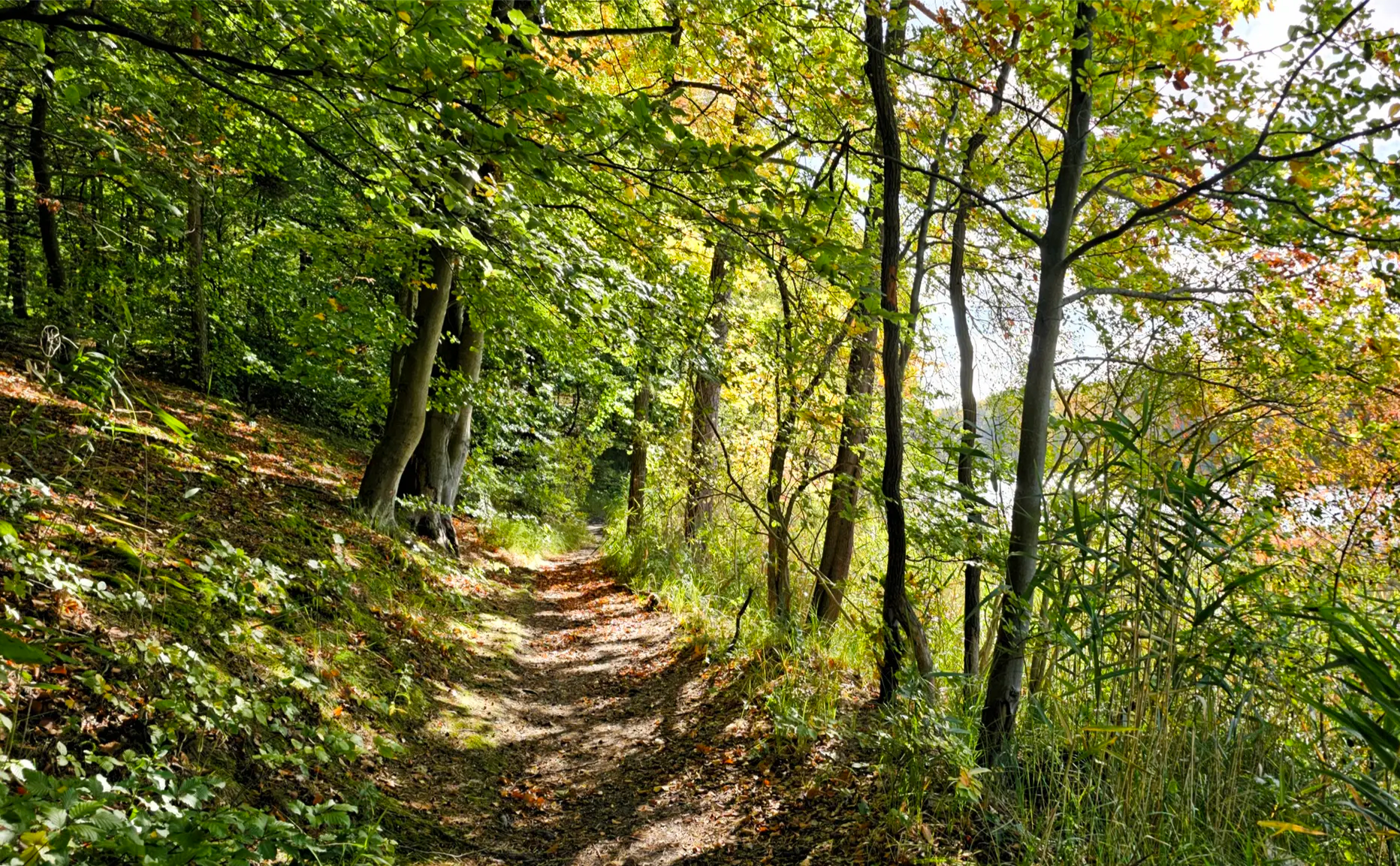
Oak, Beech, Pine & Co — S-Bahn forest tours in early fall
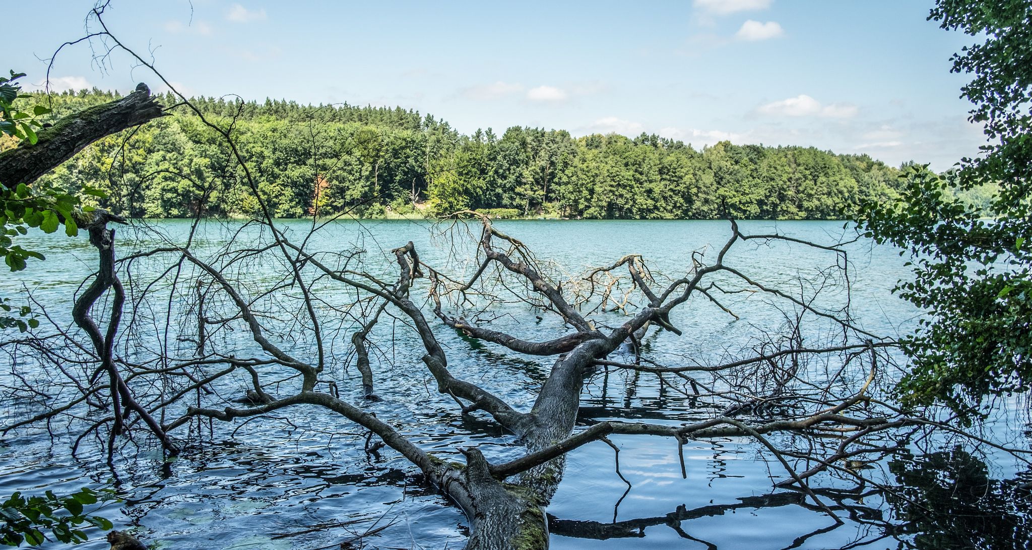
Escape to the countryside – take the S-Bahn to hidden lakes in and around Berlin
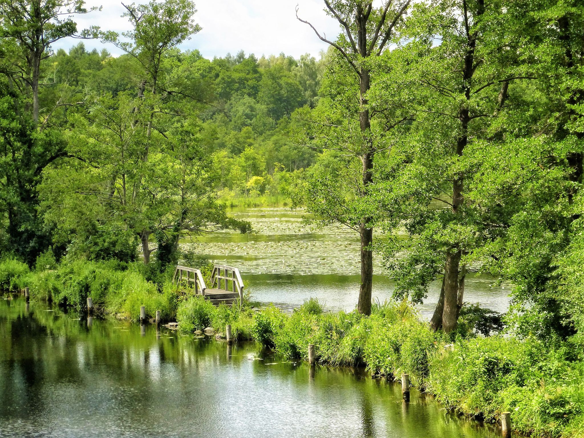
Flow – Follow Berlin’s streams with the S-Bahn
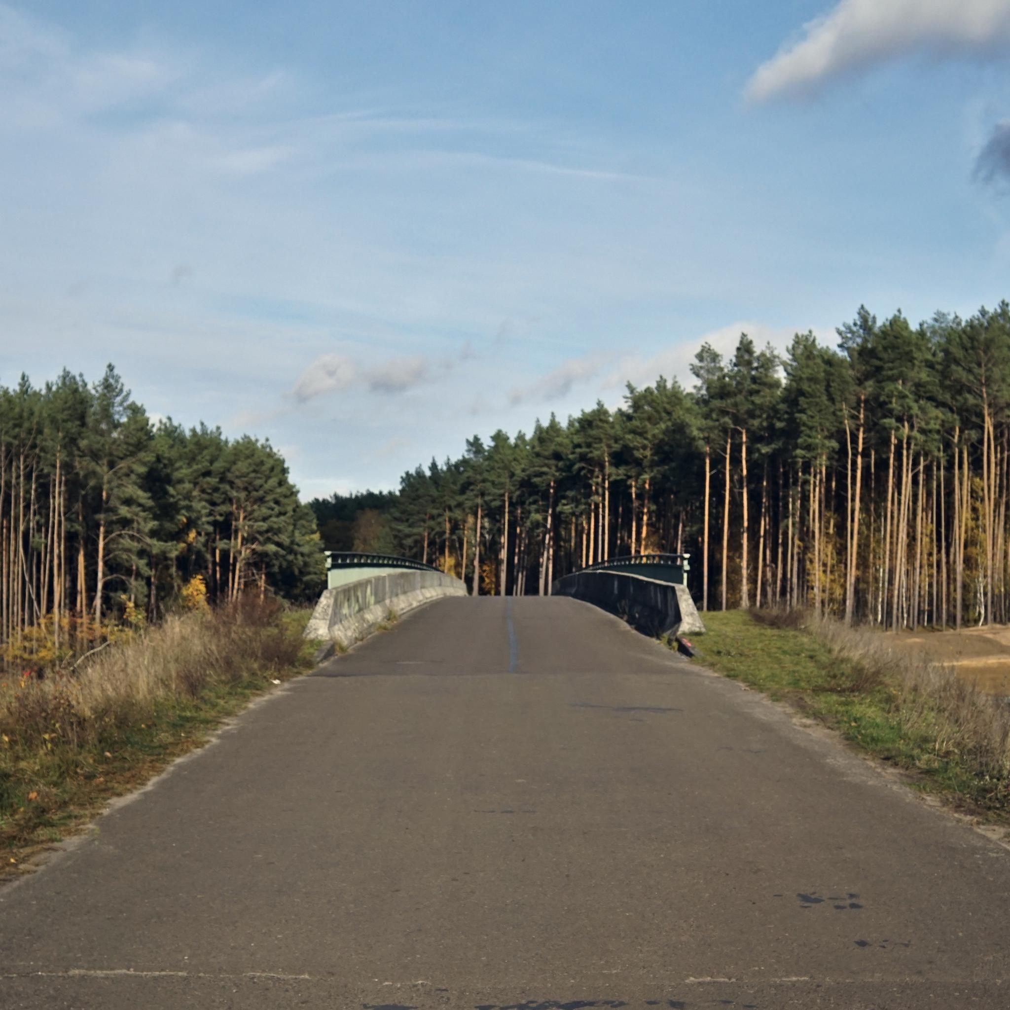
Cycling around Hohen Neuendorf
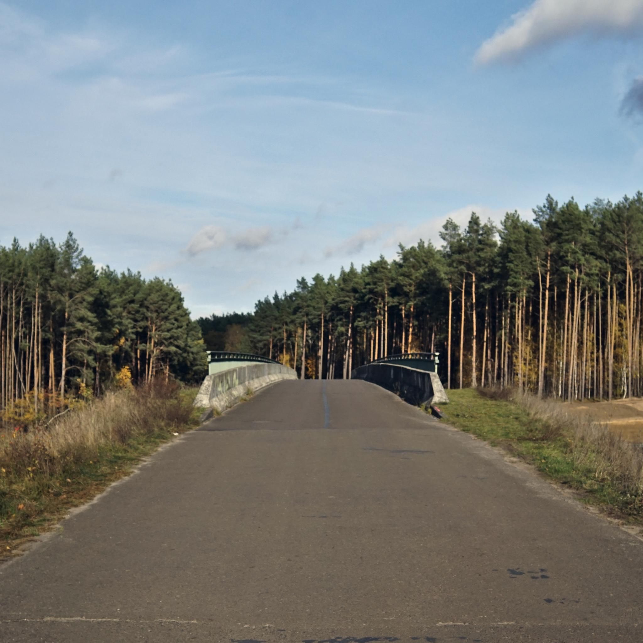
Road Cycling Routes around Hohen Neuendorf
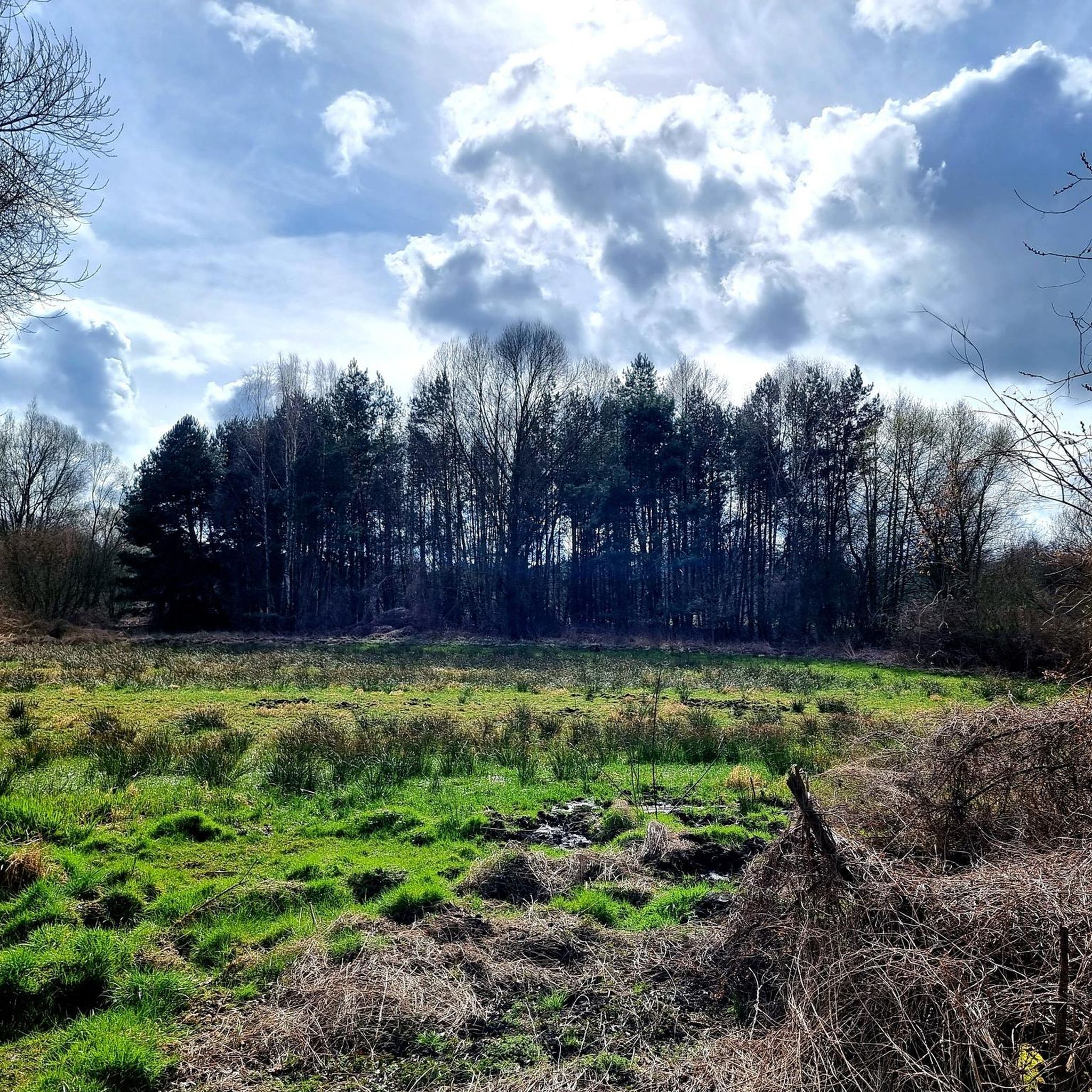
Running Trails around Hohen Neuendorf
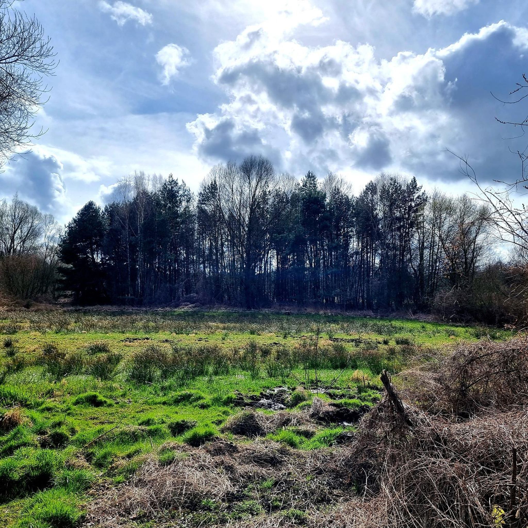
MTB Trails around Hohen Neuendorf

Gravel biking around Hohen Neuendorf
Other adventures around Hohen Neuendorf


Tips from the Community

Riding along the Briese with a tandem is very adventurous, outstanding roots where you can get caught with the tandem and at least 2 fallen trees that had to be crossed. As mentioned, "adventurous"
1
0

The Briese River originated as a glacial meltwater runoff. It rises in Lake Wandlitz and flows into the Havel River in Birkenwerder. It meanders through the landscape, forming alder groves and marshy meadows in the marshy area. These are home to many animal species.
0
0

Incredibly beautiful, a dreamlike landscape
2
0
It is totally fascinating to see the trees in the water like this
2
0
A beautiful and eerie landscape
2
0

Also highly recommended in winter. Good footwear is a prerequisite. 👍
4
1

The Briesetal is worth a visit at any time of year. People who want to enjoy peace and quiet should look elsewhere.
7
2
Frequently Asked Questions
How many hiking trails are available in Hohen Neuendorf?
Hohen Neuendorf offers a wide selection of hiking opportunities, with over 330 routes available. These range from easy strolls to more challenging treks, ensuring there's something for every fitness level.
What kind of landscapes can I expect to see while hiking in Hohen Neuendorf?
The region boasts diverse landscapes, including tranquil waterside paths along the Havel river and Oder-Havel Canal, extensive pine woods, and areas of moorland and meadows. You'll also find sections of the historic Berlin Wall Trail and the unique alder carr forests within the Briese Valley Nature Reserve.
Are there any easy hiking trails suitable for beginners or casual walkers?
Yes, Hohen Neuendorf has over 240 easy hiking routes. A great option for a relaxed walk is the Humboldt Bridge – Briese River Boardwalk loop from Hohen Neuendorf, which is 5.0 miles (8.0 km) long and takes about 2 hours to complete, featuring varied terrain.
Can I bring my dog on the hiking trails in Hohen Neuendorf?
Many trails in Hohen Neuendorf are suitable for dog walking, especially those through the extensive pine woods and open landscapes. Always ensure your dog is under control and check for any local regulations regarding leash requirements or protected areas.
Are there any circular hiking routes in the area?
Yes, many of the trails in Hohen Neuendorf are circular, offering convenient starting and ending points. Popular circular routes include the Quiet forest paths – Briesetal Boardwalk loop from Borgsdorf and the Alder carr forest in the Briese Valley – Briese Valley Nature Reserve loop from Borgsdorf.
What interesting sights or landmarks can I discover along the trails?
Beyond the natural beauty, you can explore historical sites like sections of the Berlin Wall Trail. The region also features charming villages such as Stolpe with its ancient trees and village church. You might also encounter highlights like the Oberhavelsteg Bridge with View of the Havel or the Eichwerder Boardwalk in the Tegeler Fließ.
How can I reach the hiking trails using public transport?
Hohen Neuendorf is well-connected by public transport, particularly the S-Bahn from Berlin. Many trailheads, especially those around Borgsdorf and Hohen Neuendorf itself, are easily accessible from S-Bahn stations, making it convenient to start your hike without a car.
Is parking available near the trailheads?
Yes, parking is generally available near many popular trailheads, particularly in and around Hohen Neuendorf and its surrounding villages like Borgsdorf. Look for designated parking areas or street parking where permitted.
What is the best time of year to go hiking in Hohen Neuendorf?
Hohen Neuendorf offers enjoyable hiking experiences throughout the year. Spring brings blooming nature, summer provides lush green forests and waterside strolls, while autumn showcases vibrant foliage. Even in winter, the quiet, snow-dusted forests can offer a serene hiking experience.
Are there any longer or more challenging hikes for experienced hikers?
For those seeking a greater challenge, Hohen Neuendorf offers 10 difficult routes. An example is the Stolper Heide – Berlin Wall Trail loop from Hohen Neuendorf West, a 20.8 km (12.9 miles) route that combines natural exploration with historical significance.
What do other hikers say about their experience in Hohen Neuendorf?
The hiking routes in Hohen Neuendorf are highly rated by the komoot community, with an average score of 4.6 stars from over 480 reviews. Hikers often praise the quiet woodlands, well-maintained paths, and the diverse natural beauty of the region.
Can I find trails that feature boardwalks?
Yes, several trails in the area incorporate boardwalks, offering unique perspectives and protecting sensitive natural areas. The Quiet forest paths – Briesetal Boardwalk loop from Borgsdorf is a prime example, leading through tranquil woodlands and along a boardwalk.
Are there trails that follow waterways?
Absolutely. Hohen Neuendorf is situated near the Havel river and the Oder-Havel Canal, providing numerous opportunities for waterside walks. The Lehnitzsee and the canal, for instance, feature beautiful cycle and hiking paths that wind through natural settings with fantastic water views.
Most popular routes around Hohen Neuendorf
Most popular attractions around Hohen Neuendorf

Get inspired with the komoot mobile app


Explore more
Browse the best Hikes in other regions.
