The best mountain hikes in Riserva Naturale Lago Di Piano
5.0
(3)
16
hikers
5
hikes
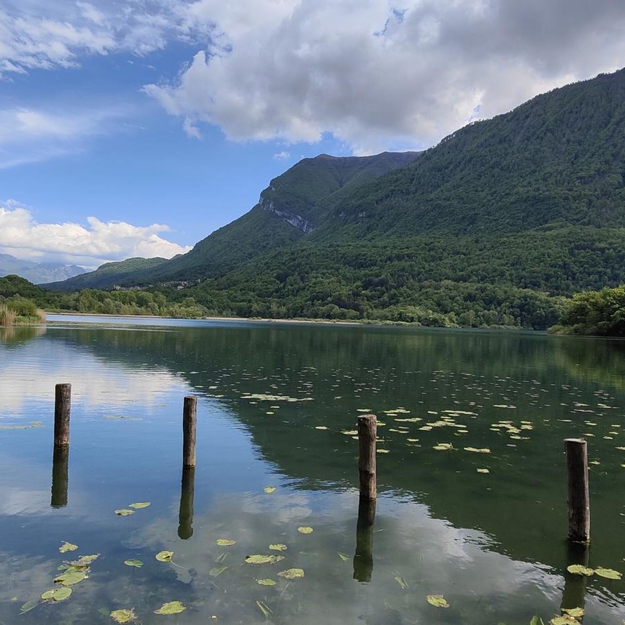
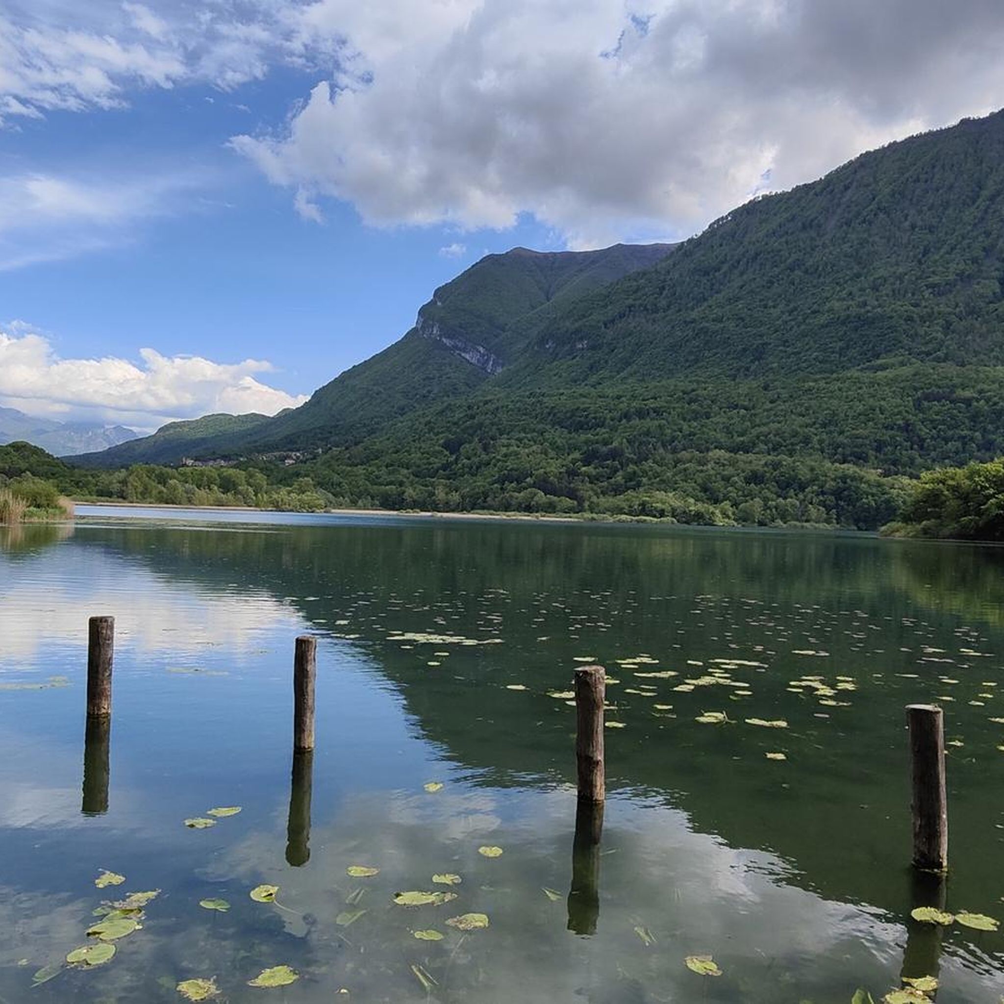
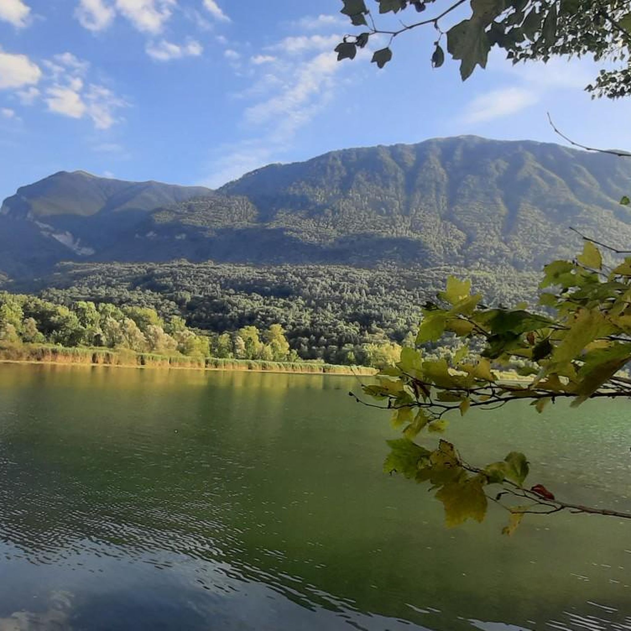
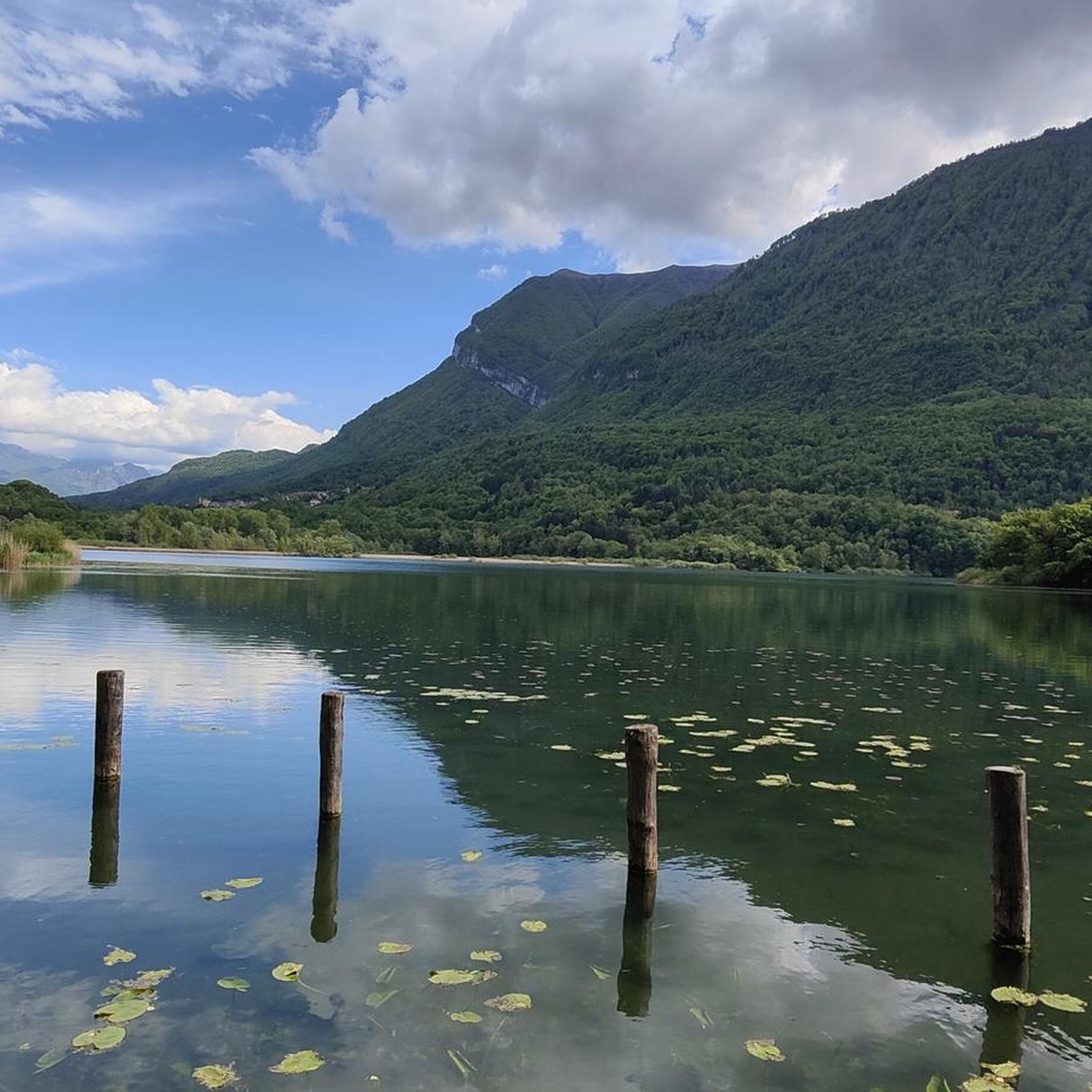
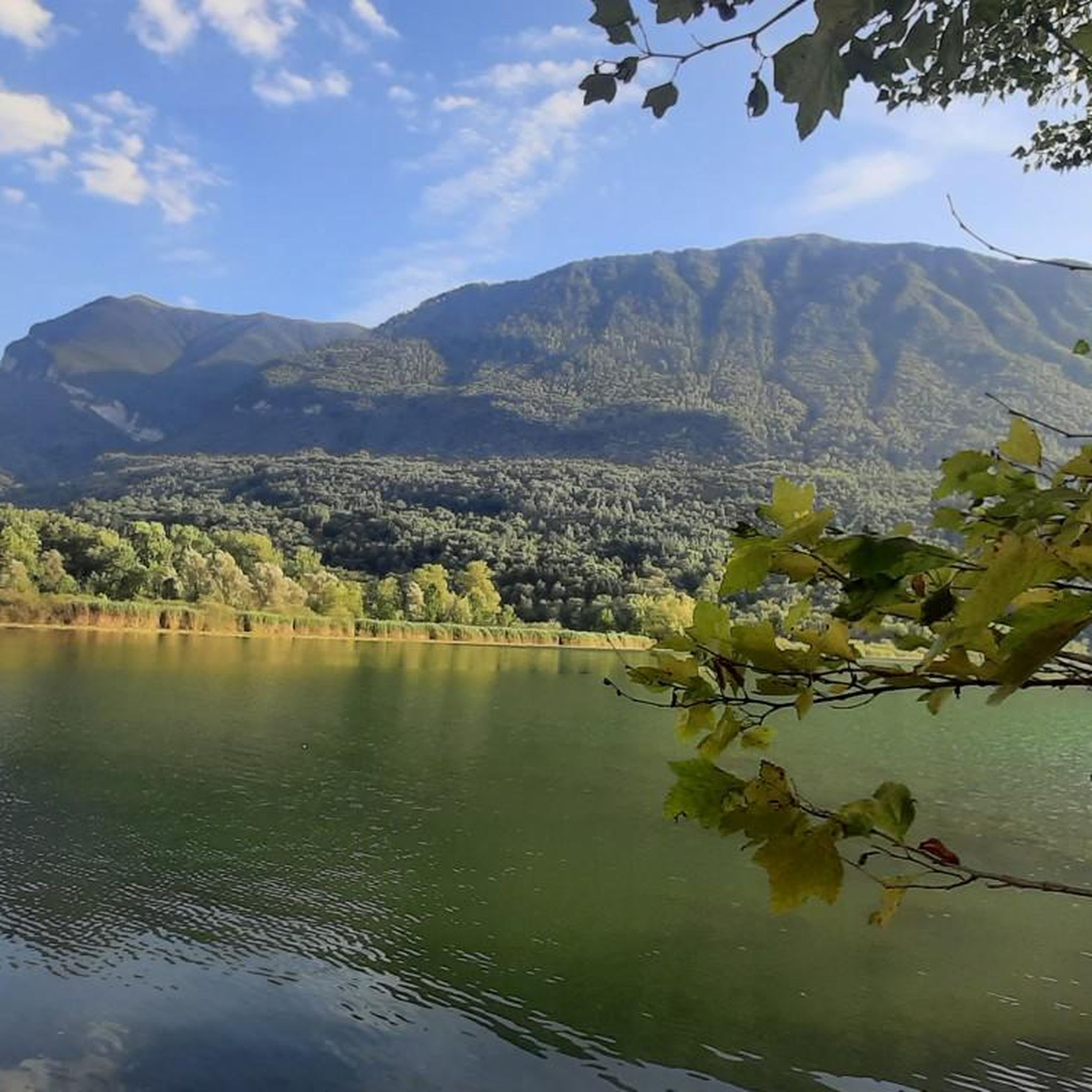
Mountaineering in Riserva Naturale Lago Di Piano is characterized by its location within the Lepontine Alps, offering challenging treks and ascents around the Menaggio Valley. The region features diverse habitats including broadleaf and conifer forests, open meadows, and extensive wetlands surrounding the central Lake Piano. The landscape, shaped by Quaternary glaciations, presents varied elevation changes and natural features for exploration, with surrounding mountains like Monte Galbiga providing suitable terrain for experienced trekkers.
Best mountaineering routes in Riserva Naturale Lago Di…
Last updated: July 4, 2026
5.0
(1)
4
hikers
6.07km
02:22
410m
410m
Moderate mountaineering route. Good fitness required. Mostly accessible paths. Sure-footedness required.
1
hikers
11.7km
05:57
1,100m
1,100m
Hard mountaineering route. Very good fitness required. Sure-footedness, sturdy shoes and alpine experience required.

Sign up for free
1
hikers
8.35km
05:05
900m
900m
Hard mountaineering route. Very good fitness required. Sure-footedness, sturdy shoes and alpine experience required.
5.0
(2)
4
hikers
9.15km
03:40
570m
570m
Moderate mountaineering route. Good fitness required. Mostly accessible paths. Sure-footedness required.
5
hikers
14.3km
06:41
1,200m
1,200m
Hard mountaineering route. Very good fitness required. Sure-footedness, sturdy shoes and alpine experience required.
Our route recommendations are based on thousands of hikes, rides, and runs completed by other people on komoot.
Start today with a free account
Your next adventure awaits.
Login or Signup
Popular around Riserva Naturale Lago Di Piano

Tips from the Community


An unmanned hut that is a good destination and place to take a break
0
0


A small cabin with a fireplace and sleeping accommodations. Unfortunately, when we arrived, there was no water left at the well in front of the house, except for a few drops.
0
0

A small high alpine pasture with a hut offering accessible shelter from the elements. A small fountain in front of the hut provides a beautiful view over the Ceresio Pass and across to Osteno.
0
0

Rifugio Menaggio, located at 1383 m, offers unique views of Lake Como. It is the ideal base for climbing Monte Grona, with via ferratas or challenging trails. It is a panoramic and welcoming point for every hiker, it is managed by the CAI and offers refreshments and overnight stays in the summer season.
3
1

One of the three peaks (together with Sertore and Pasquella) that separates the valley that descends to the lake towards Colonno from the valley that descends towards Ponna and towards Val d'Intelvi. Reachable via an easy path from the Colonno alp (where there is a large parking lot and a refuge), and that in less than an hour leads to a magnificent view of Lake Como and Galbiga. A few meters down from the peak there is a practical table with two wooden benches.
1
0

From here the path becomes increasingly steep and narrow, slippery in wet weather in winter and autumn. Difficult climb to the top. Then also very difficult descent over narrow rocky paths, then wide but steep descent to the city
0
0
Frequently Asked Questions
How many mountaineering routes are available in Riserva Naturale Lago Di Piano?
There are 7 mountaineering routes listed in Riserva Naturale Lago Di Piano, ranging from moderate to difficult. This includes 1 moderate route and 6 difficult routes, offering varied challenges for experienced trekkers.
What kind of terrain can I expect on mountaineering routes in Riserva Naturale Lago Di Piano?
The terrain in Riserva Naturale Lago Di Piano is diverse, shaped by Quaternary glaciations. You'll encounter a mix of dense woods, open meadows, and marshy areas, with trails leading along the foot of mountains like Monte Galbiga. Expect varied elevation changes, requiring good fitness and sturdy shoes, especially on the more challenging routes.
Are there any circular mountaineering routes in the area?
Yes, many of the mountaineering routes in Riserva Naturale Lago Di Piano are circular. For example, the Ponte di Strolech – Historic center of Porlezza loop from Porlezza is a moderate circular route covering about 6 km with over 400 meters of elevation gain.
What are some notable natural attractions to see along the routes?
The reserve is rich in natural beauty. You can explore the serene Lake Piano itself, surrounded by reed beds and wetlands. The landscape also features glacial formations, and you might spot diverse wildlife, especially various bird species, making it an excellent spot for nature observation.
Are there any historical points of interest accessible from the mountaineering trails?
Yes, the region offers historical insights. You can explore the ancient medieval village of Castel San Pietro, located on the Brione drumlin, or discover architectural features like the Antichi Mulini (old mills) and the washbasin of Lembra. These sites provide a cultural dimension to your outdoor adventure.
What is the best time of year for mountaineering in Riserva Naturale Lago Di Piano?
The region is generally suitable for outdoor activities from spring through autumn. The diverse landscape and varied elevation mean conditions can change, so checking local weather forecasts is always recommended. Winter mountaineering is possible but requires specific gear and experience due to potential snow and ice.
What do other mountaineers say about the routes in Riserva Naturale Lago Di Piano?
The mountaineering routes in Riserva Naturale Lago Di Piano are highly rated by the komoot community, with an average score of 5.0 stars from 12 reviews. Users often praise the challenging terrain, panoramic views, and the diverse natural environment.
Are there any challenging mountaineering routes with significant elevation gain?
Absolutely. For those seeking a demanding trek, the Lago di Como View – Menaggio Hut loop from Plesio is a difficult route covering nearly 12 km with over 1000 meters of elevation gain. Another challenging option is the Monte dei Pizzoni, cima Est loop from Claino con Osteno, which features over 900 meters of ascent.
Can I bring my dog on the mountaineering trails?
Riserva Naturale Lago Di Piano is a natural reserve, and while many outdoor areas in Italy are dog-friendly, it's always best to check specific regulations for the reserve regarding dogs, especially concerning leash requirements and protected areas. Generally, well-behaved dogs on a leash are welcome on trails, but always be mindful of wildlife and other hikers.
Are there options for public transport to access the trails?
The Menaggio Valley, where Riserva Naturale Lago Di Piano is located, has some public transport options, including bus services connecting towns around Lake Como and Lake Lugano. It's advisable to research specific bus schedules and stops near your chosen trailhead to plan your access effectively.
Where can I find parking near the trailheads?
Parking availability varies by trailhead. Many villages and starting points for routes, such as Porlezza or Plesio, offer public parking areas. It's recommended to check maps or local information for specific parking locations closest to your intended starting point.
Most popular routes in Riserva Naturale Lago Di Piano
Most popular attractions in Riserva Naturale Lago Di Piano

Get inspired with the komoot mobile app


Explore more
Browse the best Mountain Hikes & Routes in other regions.
