The best walks and hikes in Géoparc Du Chablais
4.5
(11444)
117,694
hikers
1,167
hikes
Hiking in Géoparc Du Chablais offers diverse and dramatic landscapes, characterized by mountainous terrain, glacial lakes, and significant geological formations. The region, a UNESCO Global Geopark, showcases the Alps' formation through stacked rock sequences and features numerous natural attractions. The Géoparc Du Chablais hiking terrain includes high peaks, tranquil valleys, and areas shaped by ancient glaciers, providing varied routes for exploration.
Best hiking trails in Géoparc Du Chablais
- The most popular hiking route is Arvouin Lake Loop, a 3.4…
Last updated: July 7, 2026
4.7
(52)
321
hikers
5.41km
01:58
300m
300m
Hike the moderate 3.4-mile Lac d'Arvouin and Col de Serpentin loop in Géoparc du Chablais, featuring a beautiful lake and panoramic views.
4.4
(31)
259
hikers
12.1km
05:00
1,150m
1,150m
Hard hike. Very good fitness required. Mostly accessible paths. Sure-footedness required.

Sign up for free
4.8
(12)
57
hikers
13.7km
06:06
1,260m
1,250m
Hard hike. Very good fitness required. Mostly accessible paths. Sure-footedness required.
4.8
(135)
987
hikers
11.3km
04:51
720m
720m
Moderate hike. Good fitness required. Mostly accessible paths. Sure-footedness required.
4.8
(140)
982
hikers
7.46km
03:37
550m
550m
Moderate hike. Good fitness required. Mostly accessible paths. Sure-footedness required.
Get access to more routes and recommendations from other explorers.
Sign up for free
Already have an account?
Our route recommendations are based on thousands of hikes, rides, and runs completed by other people on komoot.
Start today with a free account
Your next adventure awaits.
Login or Signup
Popular around Géoparc Du Chablais
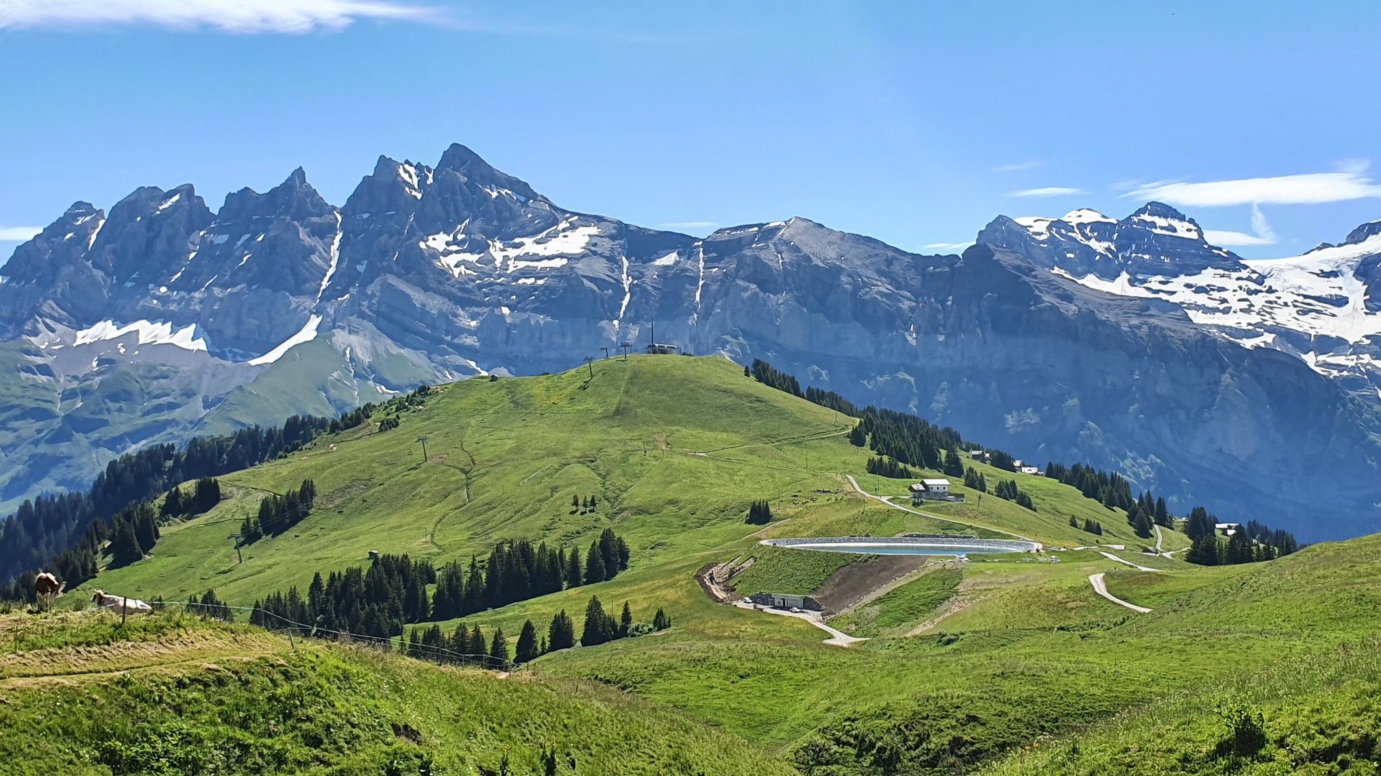
Europe Trail (GR 5) – Hike from Landry to Thonon-les-Bains

Hike from Savoie to Vanoise – Hexatrek in France’s Northern Alps
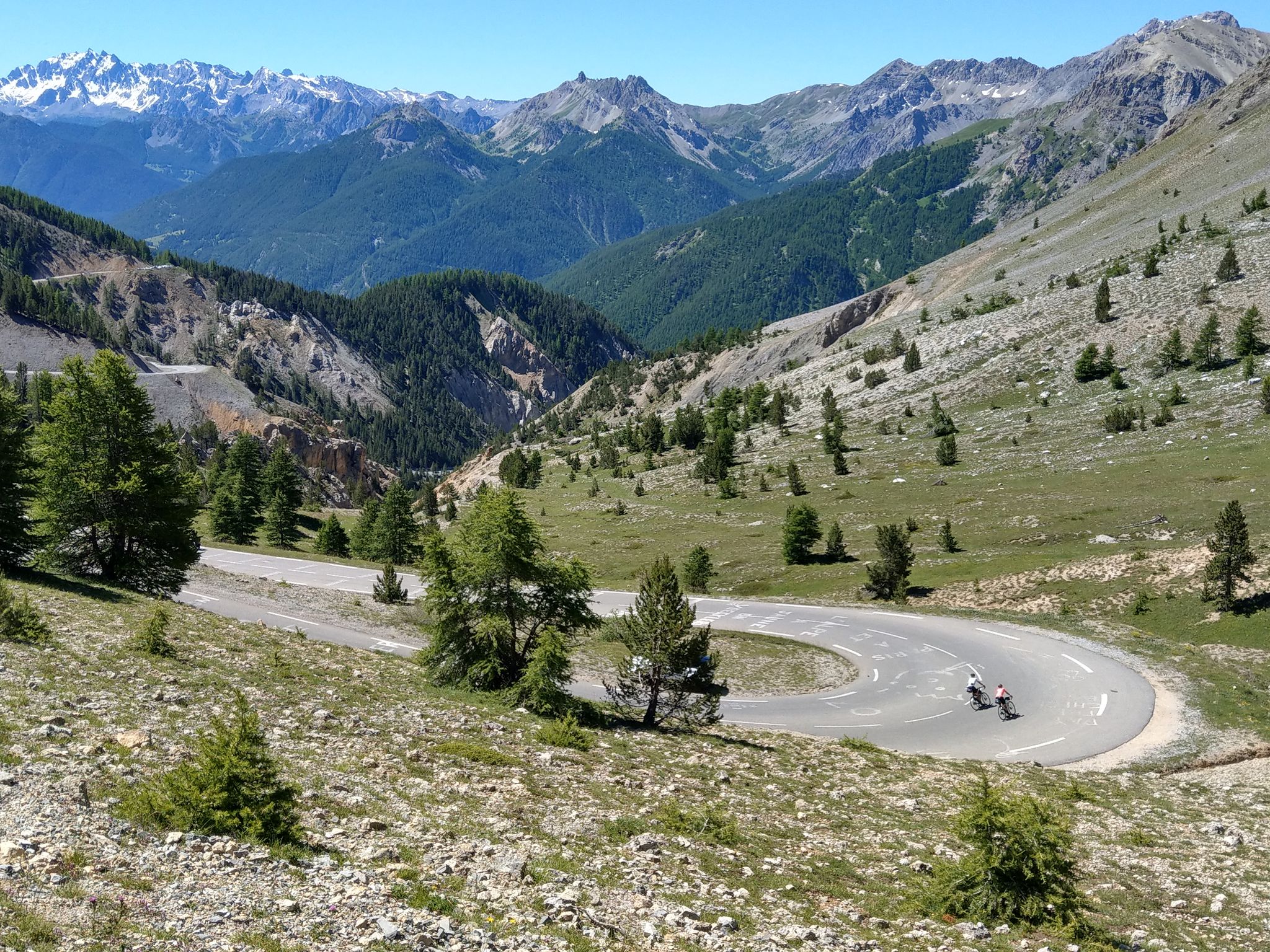
Route des Grandes Alpes – in 6 days from Evian to Nice
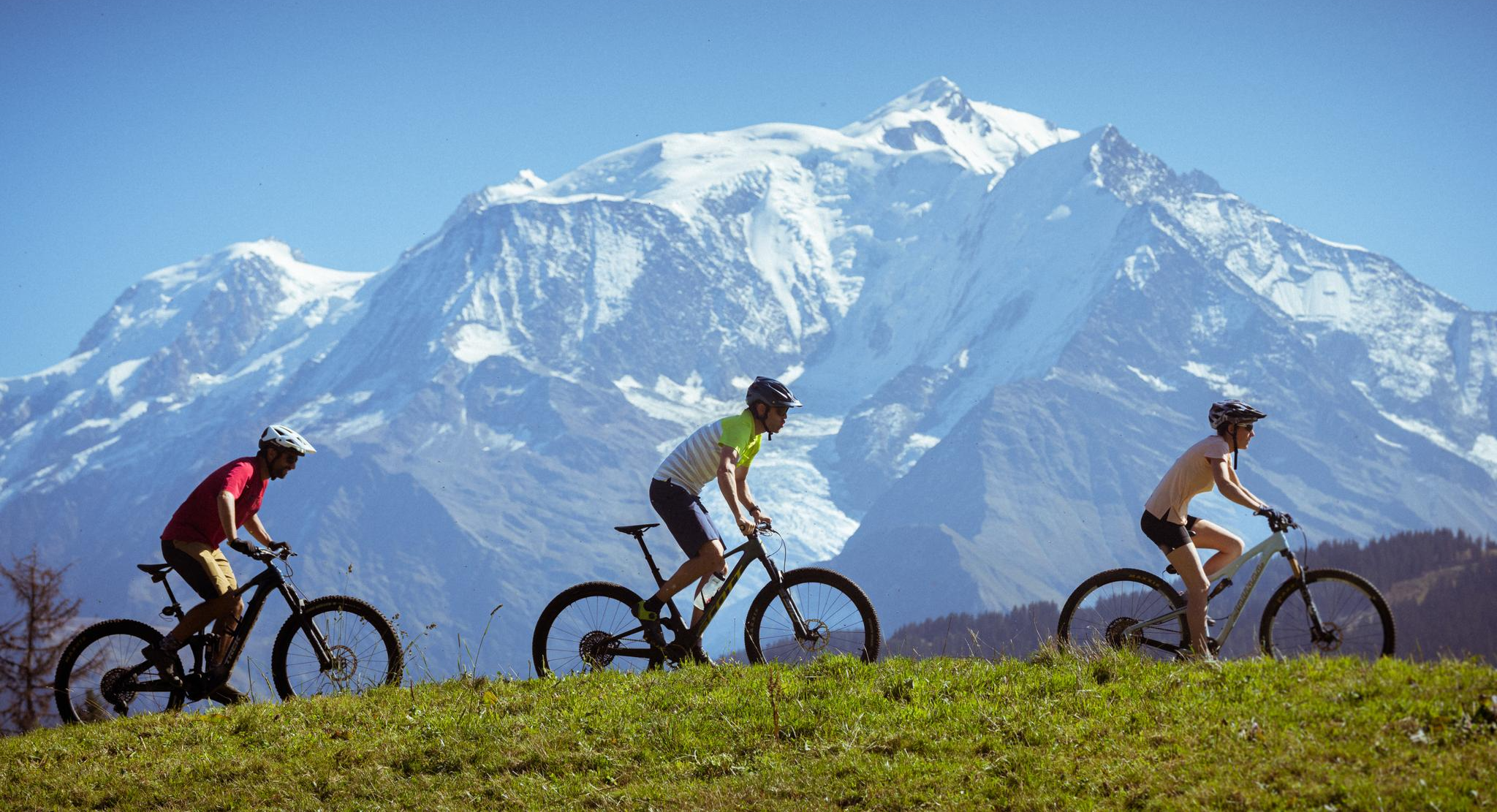
Nature and mountain biking in Haute-Savoie Mont-Blanc
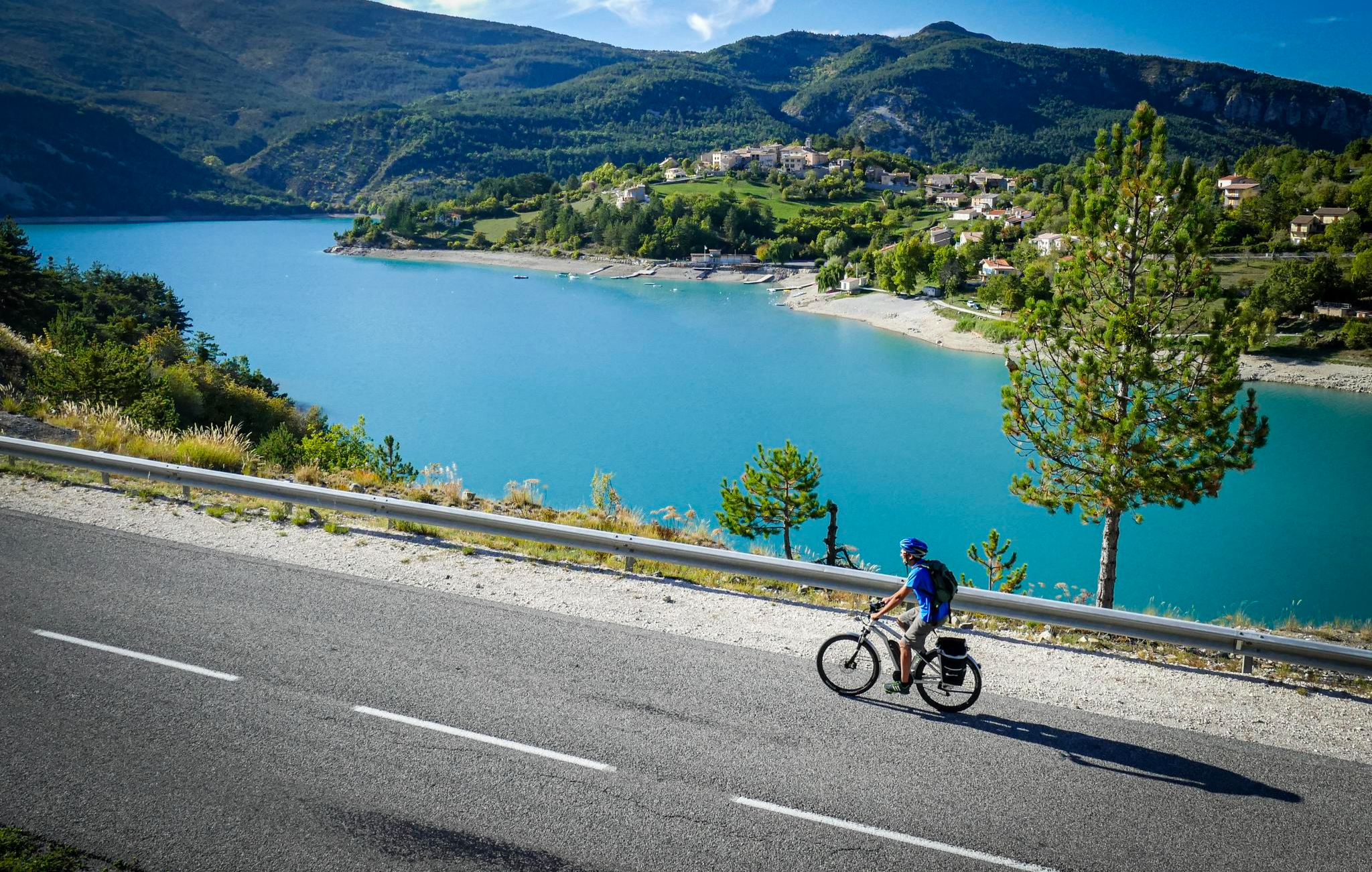
P'tites Routes du Soleil (Little Routes of the Sun)

Route des Grandes Alpes
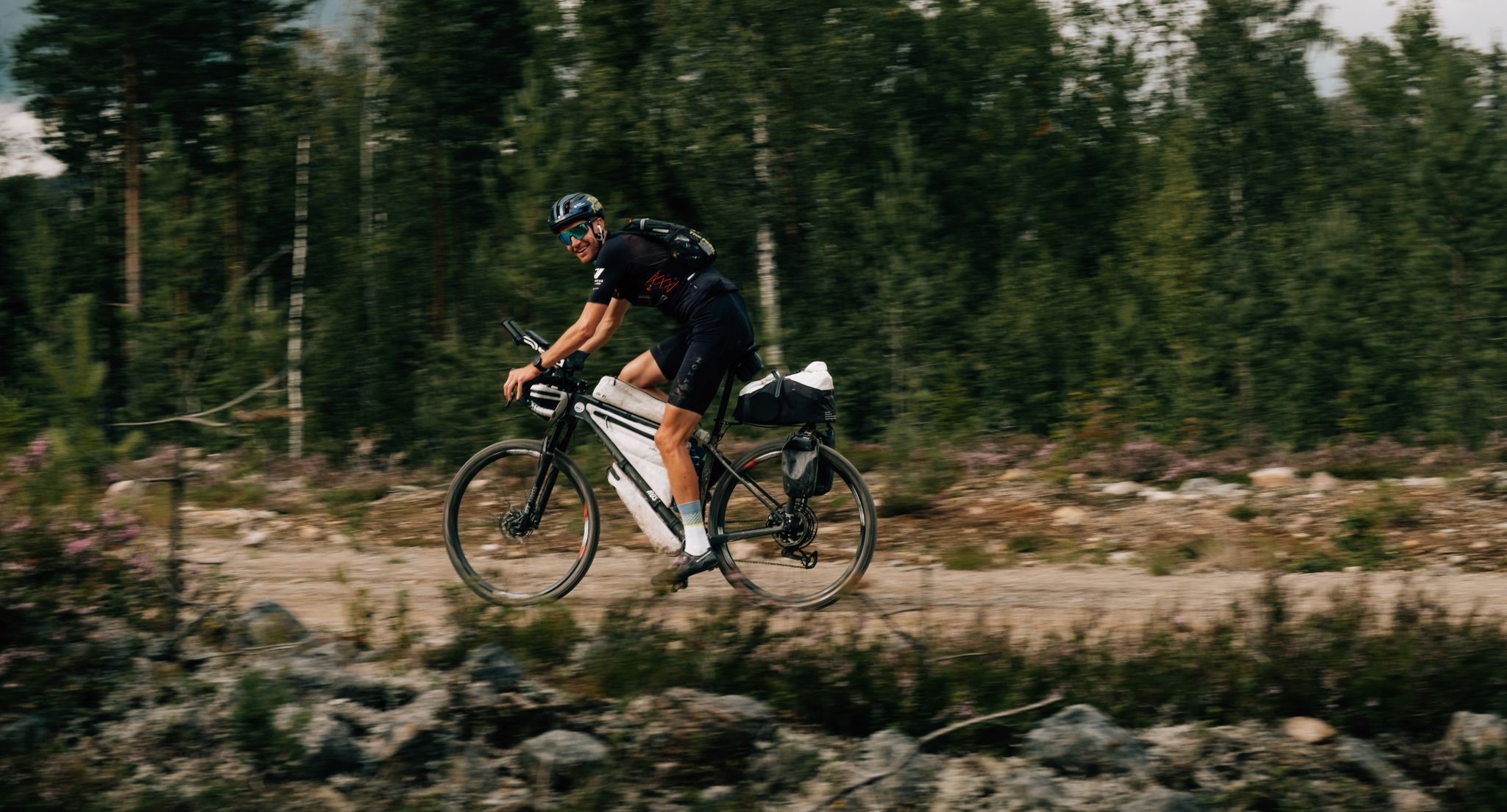
European D̶I̶V̶I̶D̶E̶ Connect Trail Project – a journey across Europe
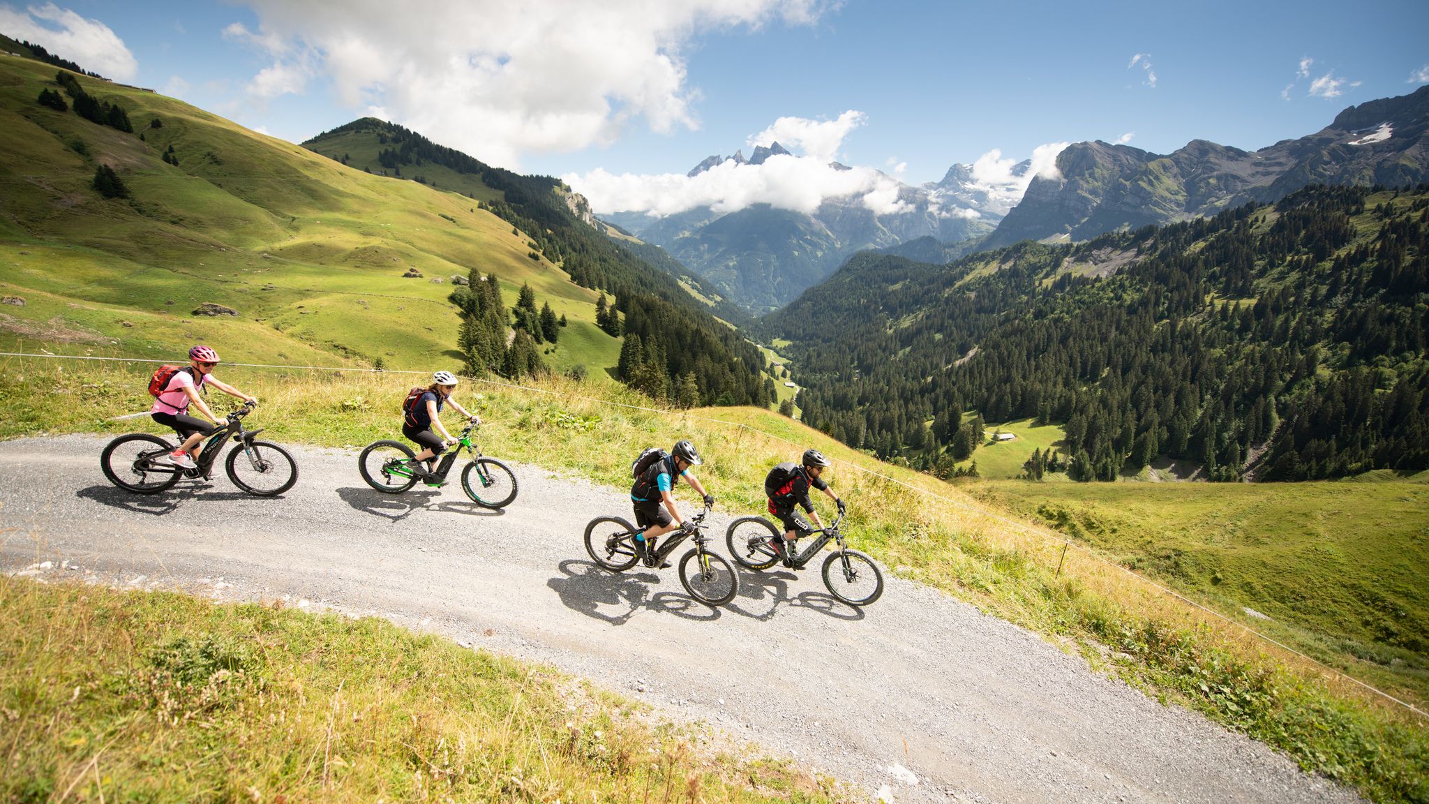
MTB in the Région Dents du Midi – Portes du Soleil
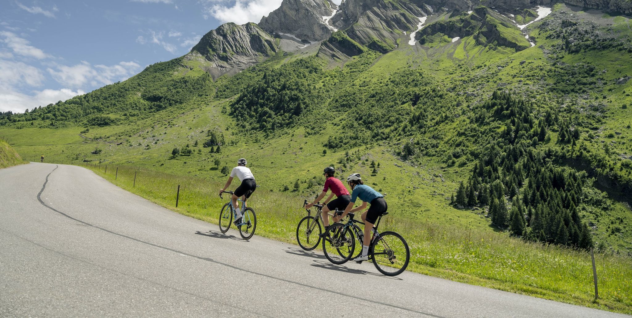
10 wonderful Tours in Savoie and Haute-Savoie – easily accessible by train
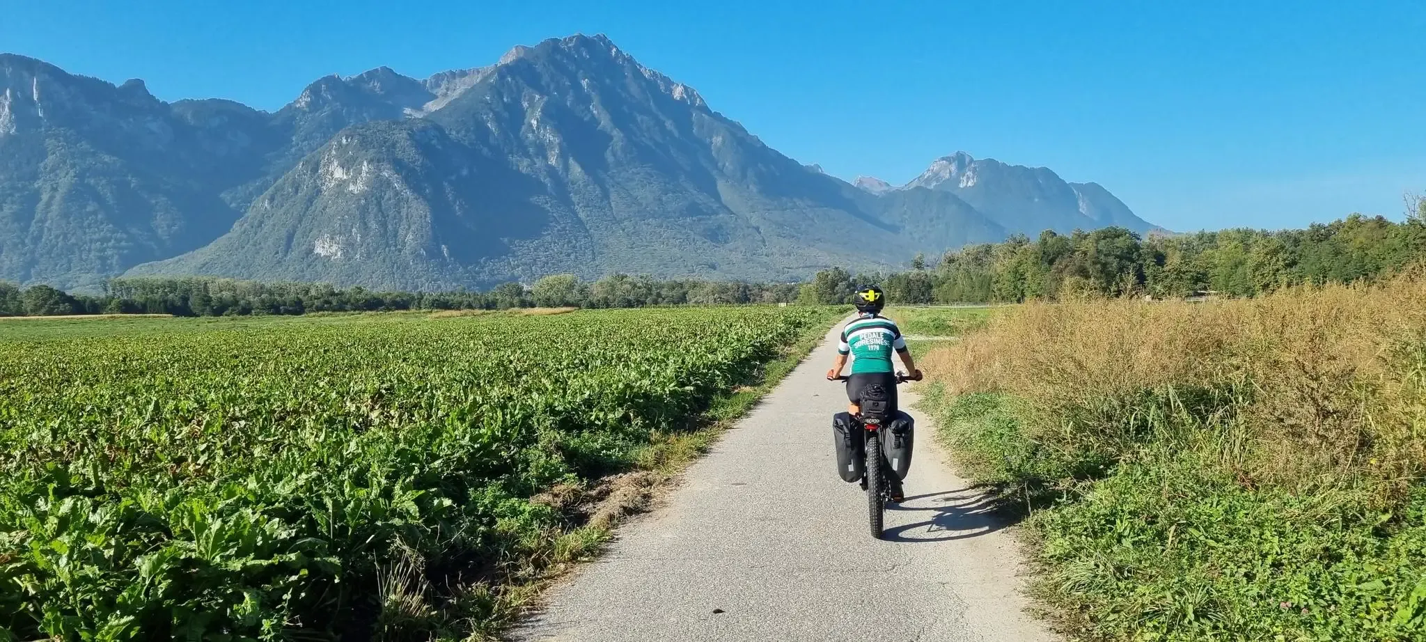
Cycle around Lake Geneva in four stages
Other adventures in Géoparc Du Chablais


Tips from the Community

Extra beautiful views to the south as far as Mont Blanc and to the north towards Lake Geneva and the Jura Mountains
0
0

Attention, kitchen closes at 2pm
0
0

A peaceful place sheltered from the wind
0
0
No photo can reflect the beauty of the place 😍
1
0
No photo can reflect the beauty of the place 😍
0
0
No photo can reflect the beauty of the place 😍
1
0
No photo can reflect the beauty of the place 😍
0
0
The view from the terrace is magnificent
1
0
Frequently Asked Questions
How many hiking trails are available in Géoparc Du Chablais?
Géoparc Du Chablais offers a vast network of trails, with over 1,100 hiking routes recorded on komoot. These range from easy strolls to challenging mountain ascents, catering to all experience levels.
What kind of terrain can I expect when hiking in Géoparc Du Chablais?
The terrain in Géoparc Du Chablais is incredibly diverse, shaped by its unique geological history as a UNESCO Global Geopark. You'll find everything from high peaks like Dent d'Oche offering panoramic views, to tranquil valleys, glacial lakes, and wetlands. The landscape showcases significant geological formations and 'stacked rock sequences' telling the story of the Alps' formation.
Are there any easy, family-friendly hikes in Géoparc Du Chablais?
Yes, Géoparc Du Chablais has numerous easy and moderate trails suitable for families. For a gentle option, consider the Arvouin Lake Loop, a moderate 3.4-mile route that takes under two hours to complete, offering a tranquil experience around a mountain lake. There are 276 easy routes in total.
Can I find circular hiking routes in Géoparc Du Chablais?
Absolutely. Many trails in Géoparc Du Chablais are designed as circular routes, allowing you to start and end at the same point. An example of a moderate circular route is the Col de Floray – Lake Darbon loop from Lac de Fontaine, which covers about 11.3 km.
What are some notable natural features or landmarks to see while hiking?
The geopark is rich in natural wonders. You can explore stunning glacial lakes like Lake Vallon, formed by a landslide, or discover various waterfalls such as the Cascade d'Ardent and Cascade de Bellevaux. The region's geological heritage is also a highlight, with sites revealing the Earth's history.
Are there any historical sites or castles I can visit near the hiking trails?
Yes, the region blends natural beauty with cultural heritage. You can visit historical sites like the Yvoire Medieval Village or the impressive Château de Ripaille. These locations often offer panoramic views and a glimpse into the area's past.
What is the best time of year to go hiking in Géoparc Du Chablais?
The best time for hiking in Géoparc Du Chablais is generally from late spring to early autumn (May to October), when the weather is milder and trails are clear of snow, especially at higher elevations. Summer offers the warmest temperatures, while spring and autumn provide beautiful flora and fall foliage respectively.
What do other hikers say about the trails in Géoparc Du Chablais?
The trails in Géoparc Du Chablais are highly regarded by the komoot community, with an average rating of 4.5 stars from over 5,200 reviews. Hikers frequently praise the diverse landscapes, from challenging mountain ascents to serene lakeside walks, and the well-maintained paths.
Are there challenging hikes for experienced trekkers?
Yes, Géoparc Du Chablais offers plenty of challenging routes for experienced hikers. Trails like Pointe de Ressachaux (2173m), a difficult 7.5-mile path, or Pointe de Nantaux (2170m), an 8.5-mile trail, involve significant elevation gain and offer rewarding panoramic views from high peaks.
Is Géoparc Du Chablais recognized for its geological significance?
Yes, Géoparc Du Chablais is a UNESCO Global Geopark, recognized for its exceptional geological heritage. The region tells a 250-million-year-old story of the Alps' formation, with landscapes sculpted by ancient oceans and glaciers. You can learn more about its geological importance on the UNESCO website.
What types of landscapes define the Géoparc Du Chablais for hikers?
The Géoparc Du Chablais is defined by its dramatic contrasts: from the shores of Lake Geneva to the high peaks of the Chablais Massif. Hikers will encounter a mix of dense forests, alpine pastures, deep valleys, and numerous mountain lakes, all bearing the marks of ancient glacial activity and tectonic forces.
Are there opportunities to see wildlife while hiking?
Given its diverse ecosystems, including wetlands like the Chilly Marsh, Géoparc Du Chablais offers opportunities for wildlife spotting. Keep an eye out for local fauna and unique flora, especially in designated biodiversity hotspots.
Most popular routes in Géoparc Du Chablais
Most popular attractions in Géoparc Du Chablais

Get inspired with the komoot mobile app


Explore more
Browse the best Hikes in other regions.
