The best running trails in Valle Thuras
4.5
(23)
2,000
runners
72
runs
Jogging in Valle Thuras offers a diverse landscape characterized by picturesque valleys, impressive mountain backdrops, and unique geological features. The region provides a range of running experiences, from accessible paths with low altitude differences to challenging trails. Joggers can explore lush pastures, streams, and alpine hamlets, with many routes offering panoramic views of the surrounding mountains. This area is also recognized as an exceptional geological park, showcasing ancient pre-Alpine ocean fragments and unique rock formations.
Best jogging routes in Valle…
Last updated: July 1, 2026
26
runners
7.64km
01:40
690m
690m
Hard run. Very good fitness required. Sure-footedness, sturdy shoes and alpine experience required.
12
runners
19.0km
02:22
810m
810m
Hard run. Very good fitness required. Mostly paved surfaces. Suitable for all skill levels.

Sign up for free
6
runners
19.9km
03:17
1,080m
1,080m
Hard run. Very good fitness required. Sure-footedness, sturdy shoes and alpine experience required.
5.0
(1)
4
runners
4.14km
00:28
100m
110m
Moderate run. Good fitness required. Mostly paved surfaces. Suitable for all skill levels.
10
runners
28.9km
05:12
1,720m
1,720m
This difficult 18.0 miles (28.9 km) jogging route offers panoramic views and a challenging alpine experience in the Thuras Valley.
Get access to more routes and recommendations from other explorers.
Sign up for free
Already have an account?
Our route recommendations are based on thousands of hikes, rides, and runs completed by other people on komoot.
Start today with a free account
Your next adventure awaits.
Login or Signup
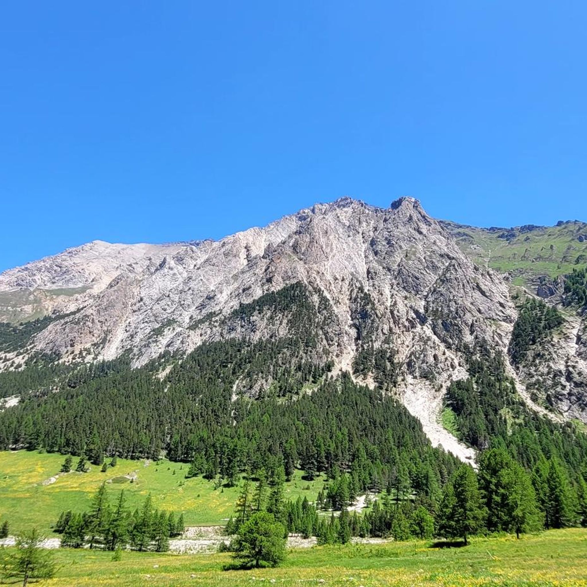
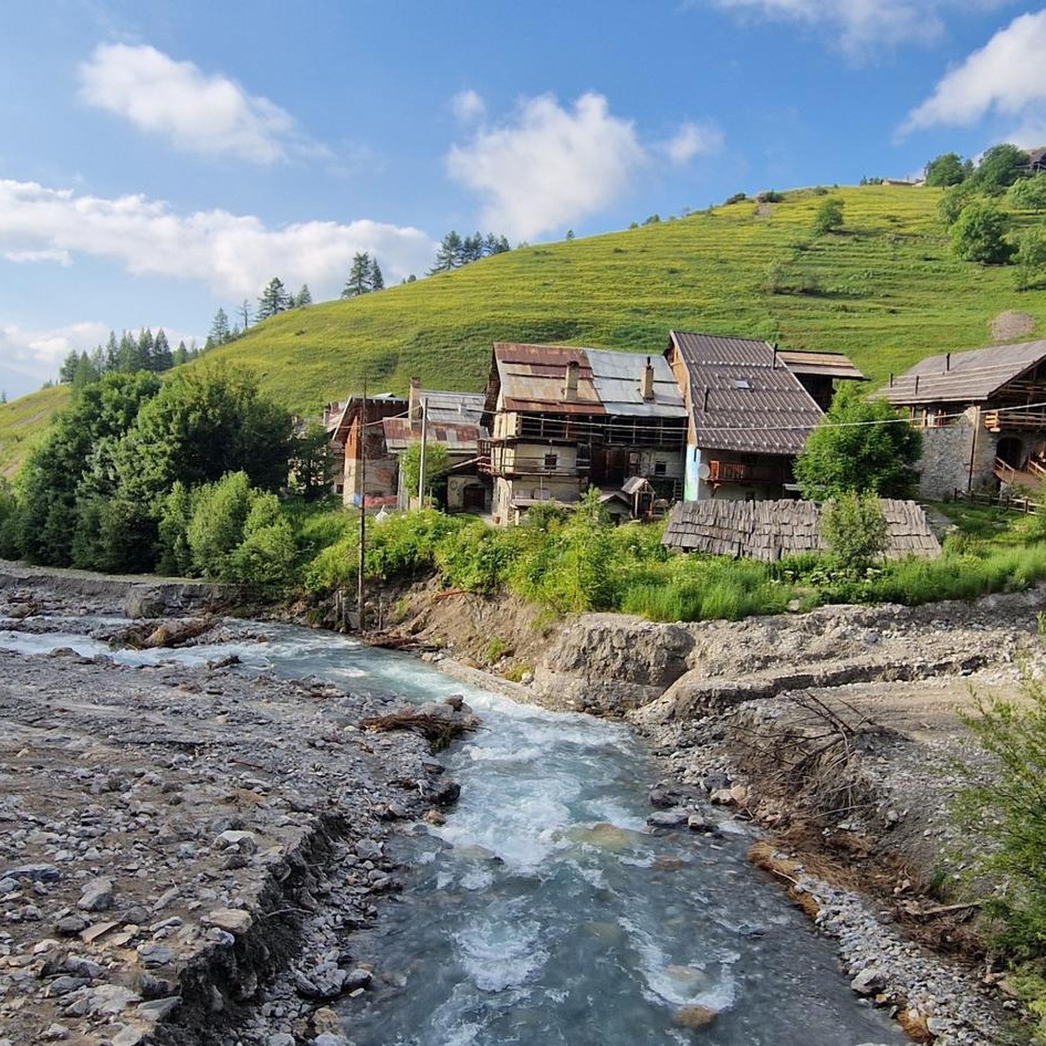


Tips from the Community

A beautiful stretch that allows you to reach the Argentera Valley more easily, or with more effort Cima del Bosco
1
0

It can be reached starting from Thures with a simple walk suitable for everyone
0
0
The panoramic view is worth the climb, which is very long and challenging, with a very steep final stretch.
0
1

Easy walk, low altitude difference and paths accessible to all. Fascinating springs of ferruginous water, very beautiful valley and landscape. Too bad there is no real destination to reach where you can stop to eat and rest a bit.
0
1

Beautiful modern bivouac with 6 beds. The climb at the end is very steep and tiring, but it is worth climbing up here. It is located just below the Dormillouse peak. During my visit in August 2024 I did not see any mattresses, so it is advisable to bring a sleeping bag, and there is no water, not even a small stream nearby, so rooms already stocked with drinks if you want to stay a long time.
0
0
Nice village of Cesana, where access by motor vehicles, lately, is allowed only to residents. If we want to go on an excursion that passes through here, we have to start 2 km before, at the beginning of the dirt road, on the bend of the road that goes to Thures
0
0
Very pretty village of Cesana, with lots of fountains to fill your water bottles before leaving for the excursion to Cima del Bosco, or for other destinations
0
0
Frequently Asked Questions
How many running routes are available in Valle Thuras?
Valle Thuras offers a diverse selection of over 50 running routes, catering to various fitness levels and preferences. From easy paths to challenging mountain trails, there's a route for every runner.
What do other runners say about the trails in Valle Thuras?
The running routes in Valle Thuras are highly regarded by the komoot community, with an average rating of 4.4 stars from over 24 reviews. Runners frequently praise the picturesque valleys, impressive mountain backdrops, and the unique geological features encountered along the trails.
Are there running routes suitable for beginners or those looking for an easy jog?
Yes, Valle Thuras has several routes perfect for beginners or those seeking a leisurely run. There are 4 easy routes and 13 moderate routes with low altitude differences and accessible paths, allowing for a pleasant jog amidst nature. An example of a moderate route is the Ripa Bridge loop from Sauze di Cesana, which is 2.6 miles (4.1 km) long.
What kind of terrain can I expect on the jogging routes in Valle Thuras?
The terrain in Valle Thuras is quite varied. You can expect paths winding through lush pastures and alongside streams, as well as more challenging trails with significant elevation changes in the mountainous areas. Some routes feature dirt roads, while others traverse more rugged alpine landscapes, offering diverse running experiences.
When is the best time of year to go jogging in Valle Thuras?
The best time for jogging in Valle Thuras is typically from late spring through early autumn (May to October), when the weather is milder and the trails are generally clear of snow. This period allows for optimal enjoyment of the scenic routes and natural attractions.
What natural features or landmarks can I see while running in Valle Thuras?
Valle Thuras is rich in natural beauty and unique geological features. Along your run, you might encounter fascinating ferruginous water springs near the Rhuilles Alpine Hamlet, picturesque alpine hamlets themselves, and impressive mountain backdrops like Mount Courbion and Chaberton. The region is also part of an exceptional geological park, showcasing ancient pre-Alpine ocean fragments.
Are there any circular running routes in Valle Thuras?
Yes, Valle Thuras offers several circular running routes. A popular and challenging option is the Thures hamlet – Rhuilles Alpine Hamlet loop from Thures, which is 12.3 miles (19.8 km) long. Another extensive loop for experienced runners is the Monte Giassez, Dormillouse, and Terra Nera Loop, covering 17.9 miles (28.9 km).
Can I bring my dog on the running trails in Valle Thuras?
Many outdoor trails in the Italian Alps, including those in Valle Thuras, are generally dog-friendly. However, it's always advisable to keep your dog on a leash, especially in areas with livestock or wildlife, and to check for any specific local regulations or protected areas that might have restrictions. Always ensure your dog is well-behaved and that you clean up after them.
Are the running trails in Valle Thuras suitable for families?
Yes, Valle Thuras offers family-friendly options, particularly on the easier and moderate routes with lower altitude differences. These paths are accessible to all and provide a great way for families to enjoy a jog together amidst nature. Look for routes described as 'easy walk' for the most suitable family experiences.
Where can I park my car when visiting the jogging trails in Valle Thuras?
While specific parking areas for each trail are not detailed, many alpine hamlets like Thures and Rhuilles, which serve as starting points for routes, typically offer parking facilities. It's recommended to check local signage upon arrival or consult detailed route descriptions on komoot for specific parking information near your chosen starting point.
How can I reach the jogging trails in Valle Thuras using public transport?
Access to Valle Thuras via public transport can be limited, as is common in many alpine regions. While there might be bus services to larger towns in the Upper Susa Valley, reaching specific trailheads within Valle Thuras often requires a car. For detailed information on public transport options to the broader Susa Valley area, you might consult regional transport websites.
Are there places to eat or stay near the running routes in Valle Thuras?
Yes, alpine hamlets like Thures and Rhuilles, which are often starting points or pass-throughs for running routes, may offer small cafes, restaurants, or accommodation options. These provide opportunities for refreshments or an overnight stay, allowing you to fully immerse yourself in the regional experience.
Are permits required to jog on the trails in Valle Thuras?
Generally, permits are not required for jogging or hiking on the established trails in Valle Thuras. However, if you plan to venture into specific protected areas or engage in activities that might require special access, it's always wise to check with local authorities or visitor centers for any specific regulations.
Most popular routes in Valle Thuras

Get inspired with the komoot mobile app


Explore more
Browse the best Running Trails & Routes in other regions.
