The best running trails in Isola Di Santa Maria
4.3
(18)
215
runners
19
runs
Jogging in Isola Di Santa Maria offers routes across largely flat terrain, making it suitable for extended runs without significant elevation changes. The island features an extensive coastline with numerous coves and beaches, including the 200-meter-long Cala Santa Maria, providing soft surfaces for running. Trails wind through Mediterranean vegetation, and the island's status within La Maddalena National Park ensures a preserved, tranquil environment for outdoor activities. The highest point, Guardia del Turco, reaches 49 meters, offering panoramic views.
Best jogging…
Last updated: July 15, 2026
4
runners
6.84km
00:43
10m
10m
Moderate run. Good fitness required. Mostly paved surfaces. Suitable for all skill levels.
5
runners
6.16km
00:38
10m
10m
Moderate run. Good fitness required. Mostly paved surfaces. Suitable for all skill levels.

Sign up for free
40
runners
28.5km
03:35
770m
770m
Hard run. Very good fitness required. Mostly paved surfaces. Suitable for all skill levels.
3
runners
8.24km
01:02
180m
180m
Moderate run. Good fitness required. Mostly paved surfaces. Suitable for all skill levels.
3
runners
8.04km
01:03
230m
230m
Moderate run. Good fitness required. Mostly paved surfaces. Suitable for all skill levels.
Get access to more routes and recommendations from other explorers.
Sign up for free
Already have an account?
Our route recommendations are based on thousands of hikes, rides, and runs completed by other people on komoot.
Start today with a free account
Your next adventure awaits.
Login or Signup
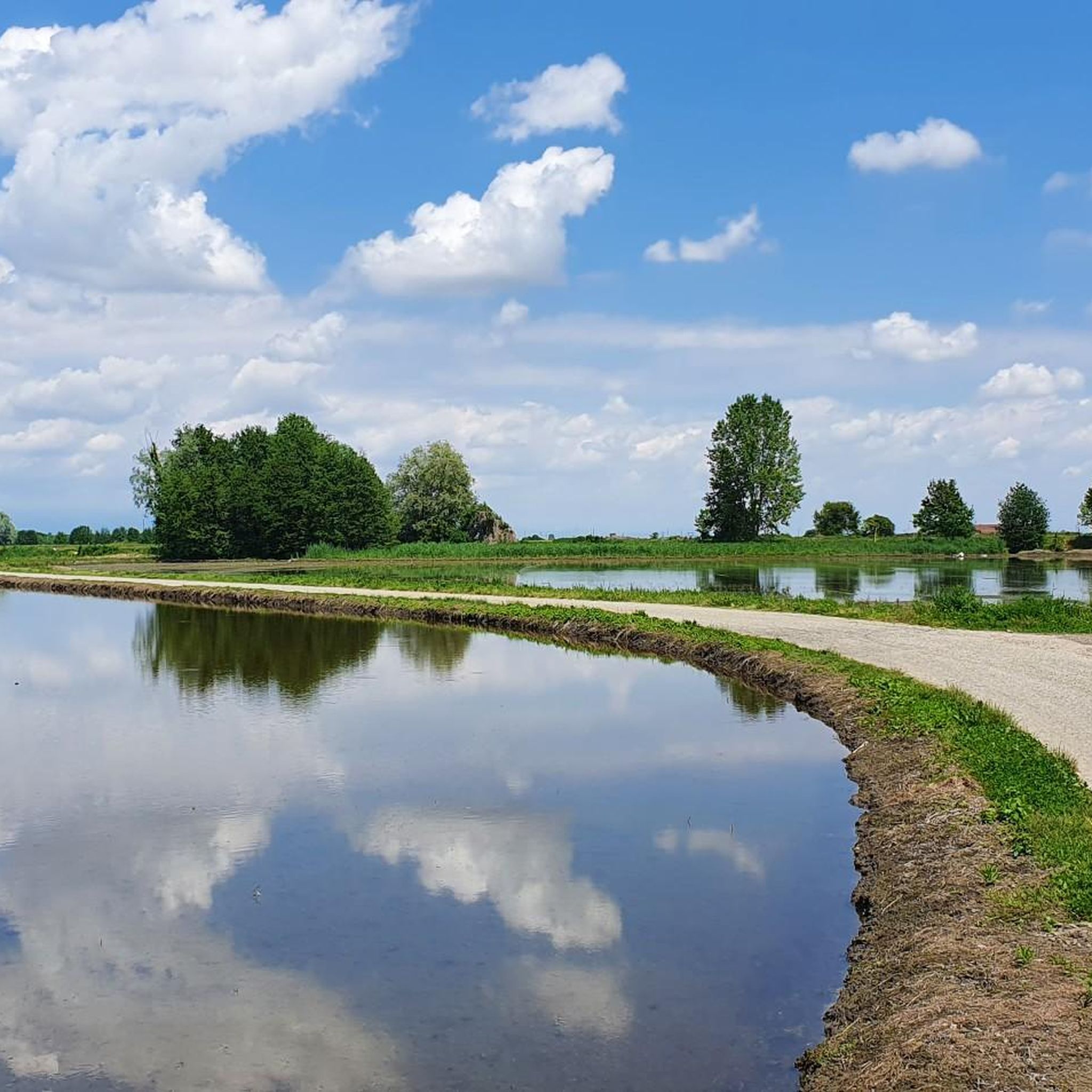
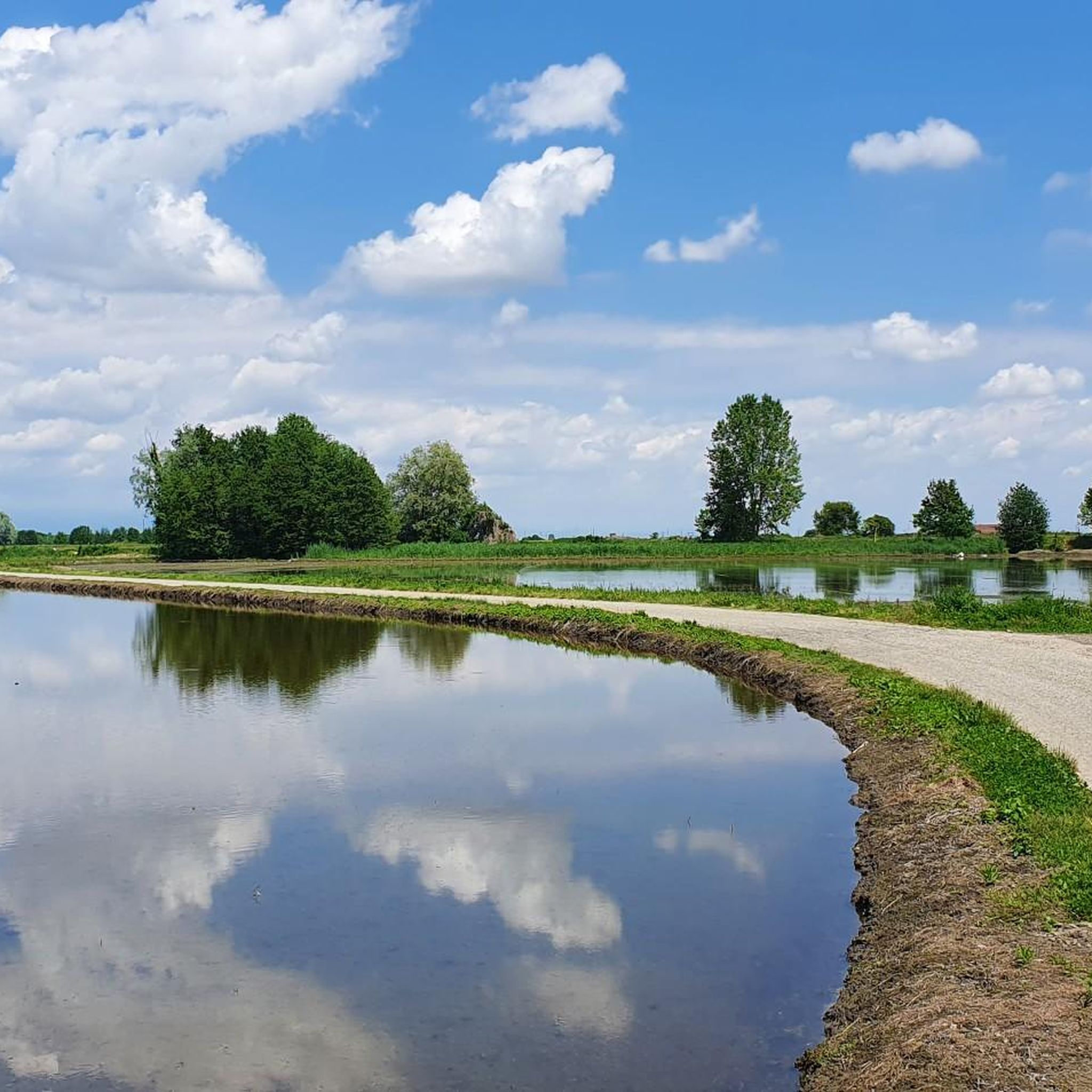
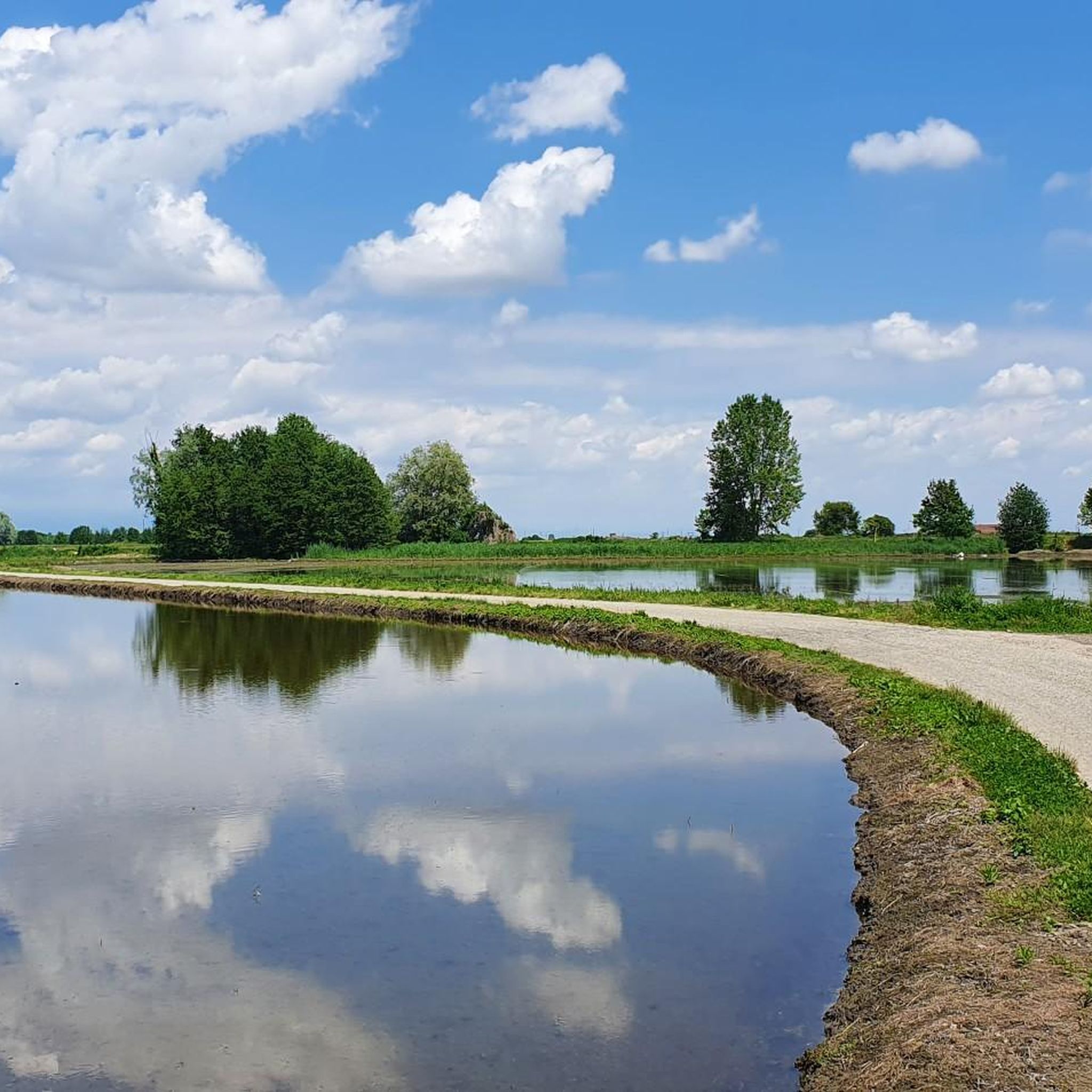
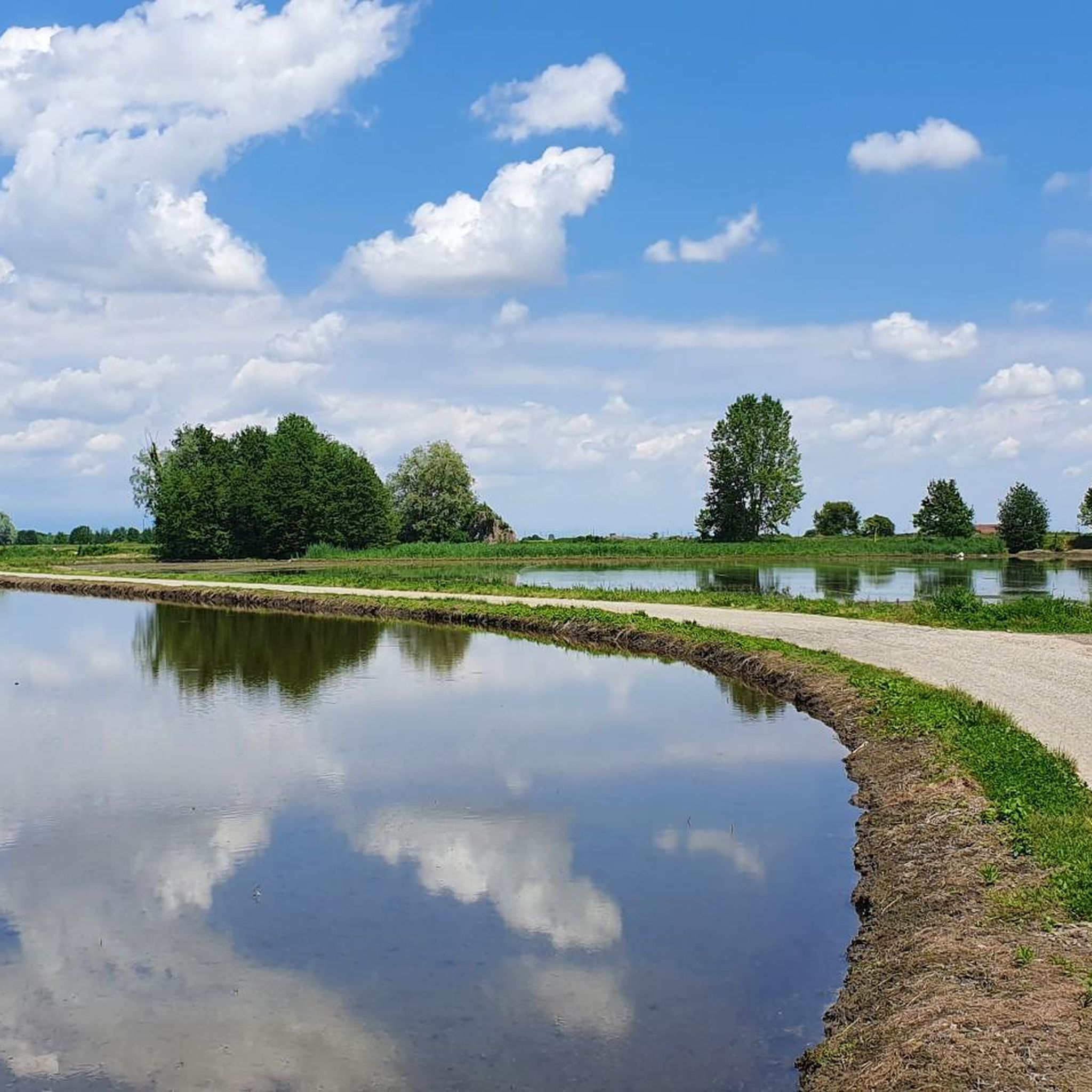

Tips from the Community

panoramic balcony overlooking the Vercelli area
0
0

If you find the right day the view is spectacular.
32
0

Panoramic point equipped with benches and a small suspended terrace; pleasant view of the Vercelli countryside, the Po and Monte Rosa
10
0

Vast panorama overlooking the river Po and the plains of the Vercelli area
1
0

Frequently Asked Questions
How many running routes are available in Isola Di Santa Maria?
Isola Di Santa Maria offers a selection of over 15 running routes, catering to various preferences and fitness levels. The komoot community has explored 18 unique trails on the island.
What kind of terrain can I expect on the jogging trails in Isola Di Santa Maria?
The island is characterized by largely flat terrain, making it ideal for extended runs without significant elevation changes. You'll find extensive coastlines with numerous coves and pristine beaches, offering soft surfaces for running. Trails also wind through lush Mediterranean scrub, providing varied natural paths. The highest point, Guardia del Turco, is only 49 meters, so strenuous climbs are rare.
Are there any easy running routes suitable for beginners in Isola Di Santa Maria?
Yes, Isola Di Santa Maria has several easy running options. The island's generally flat topography and sandy beaches like Cala Santa Maria are perfect for less strenuous runs. While specific easy routes are not detailed in the provided data, the overall terrain is very accommodating for beginners. There are 2 easy routes among the 18 available.
What are some natural features or landmarks I might see while running on Isola Di Santa Maria?
While running, you can enjoy the stunning extensive coastline, including the renowned Cala di Fosso and the 200-meter-long Cala Santa Maria. You might also pass by the unique Palude, a brackish water lake behind Cala Santa Maria that hosts various bird species. The island's trails also offer views of the La Maddalena National Park's preserved natural beauty and the distinctive Passo degli Asinelli, where you can observe the shallow seabed connecting to nearby islands.
Are there any circular running routes in Isola Di Santa Maria?
Yes, many of the running paths in Isola Di Santa Maria are designed as loops, allowing for scenic circular runs. For example, the moderate Running loop from Crescentino is a 5.4 km path with minimal elevation change, perfect for a quicker, contained run.
What do other runners enjoy most about jogging in Isola Di Santa Maria?
The running routes in Isola Di Santa Maria are highly rated by the komoot community, with an average score of 4.6 stars from over 10 reviews. Runners often praise the tranquil environment, the stunning coastal vistas, and the diverse terrain that ranges from soft sandy beaches to paths through Mediterranean vegetation. The island's preserved natural beauty within La Maddalena National Park is a significant draw.
Are there any longer or more challenging running trails for experienced runners?
Yes, for those seeking a greater challenge, Isola Di Santa Maria offers more demanding routes. An example is the difficult Climb to Castello di Gabiano – View of Monferrato and Trino loop from Moncestino, a substantial 43.3 km trail with significant elevation gain, typically taking over 5 hours to complete. There are 3 difficult routes available on the island.
Can I find moderate-difficulty running routes on the island?
Absolutely. The majority of running routes in Isola Di Santa Maria are of moderate difficulty, providing a good balance for most runners. For instance, the Running loop from Verrua Savoia is a moderate 8.2 km route, offering a pleasant run without extreme challenges. There are 13 moderate routes in total.
What is the typical length of running trails in Isola Di Santa Maria?
The lengths of running trails in Isola Di Santa Maria vary significantly. You can find shorter paths, such as the 5.4 km Running loop from Crescentino, suitable for quick runs. For longer excursions, routes like the 43.3 km Climb to Castello di Gabiano – View of Monferrato and Trino loop from Moncestino are available, offering extended running experiences.
Are there any running routes that offer panoramic views?
Yes, while the island is largely flat, its highest point, Guardia del Turco, reaches a modest 49 meters and offers panoramic views. Many coastal trails also provide breathtaking vistas of the turquoise waters and the surrounding La Maddalena Archipelago, ensuring scenic rewards during your run.
Is Isola Di Santa Maria suitable for family-friendly running or walking?
Given its largely flat terrain and extensive, shallow beaches like Cala Santa Maria, Isola Di Santa Maria is very suitable for family-friendly activities, including gentle running or walking. The tranquil environment within La Maddalena National Park also makes it a safe and enjoyable place for families to explore outdoors.
What is the best time of year to go jogging in Isola Di Santa Maria?
Isola Di Santa Maria offers pleasant conditions for jogging for much of the year. The Mediterranean climate means spring and autumn are particularly ideal, with comfortable temperatures and less intense sun. Summer can be warm, but early mornings or late afternoons provide cooler times for a run, especially along the breezy coastline.
Are there any routes that lead through Mediterranean vegetation?
Yes, many of the island's scenic paths wind through lush Mediterranean scrub. These trails offer varied terrain and opportunities to explore the island's natural beauty on foot, providing a different experience from the coastal runs. For example, the Running loop from Villamiroglio, a moderate 8.0 km route, takes you through varied landscapes.
Most popular routes in Isola Di Santa Maria

Get inspired with the komoot mobile app


Explore more
Browse the best Running Trails & Routes in other regions.
