The best mountain hikes in Riserva Naturale Guidata Di Campobrun
4.9
(22)
231
hikers
18
hikes
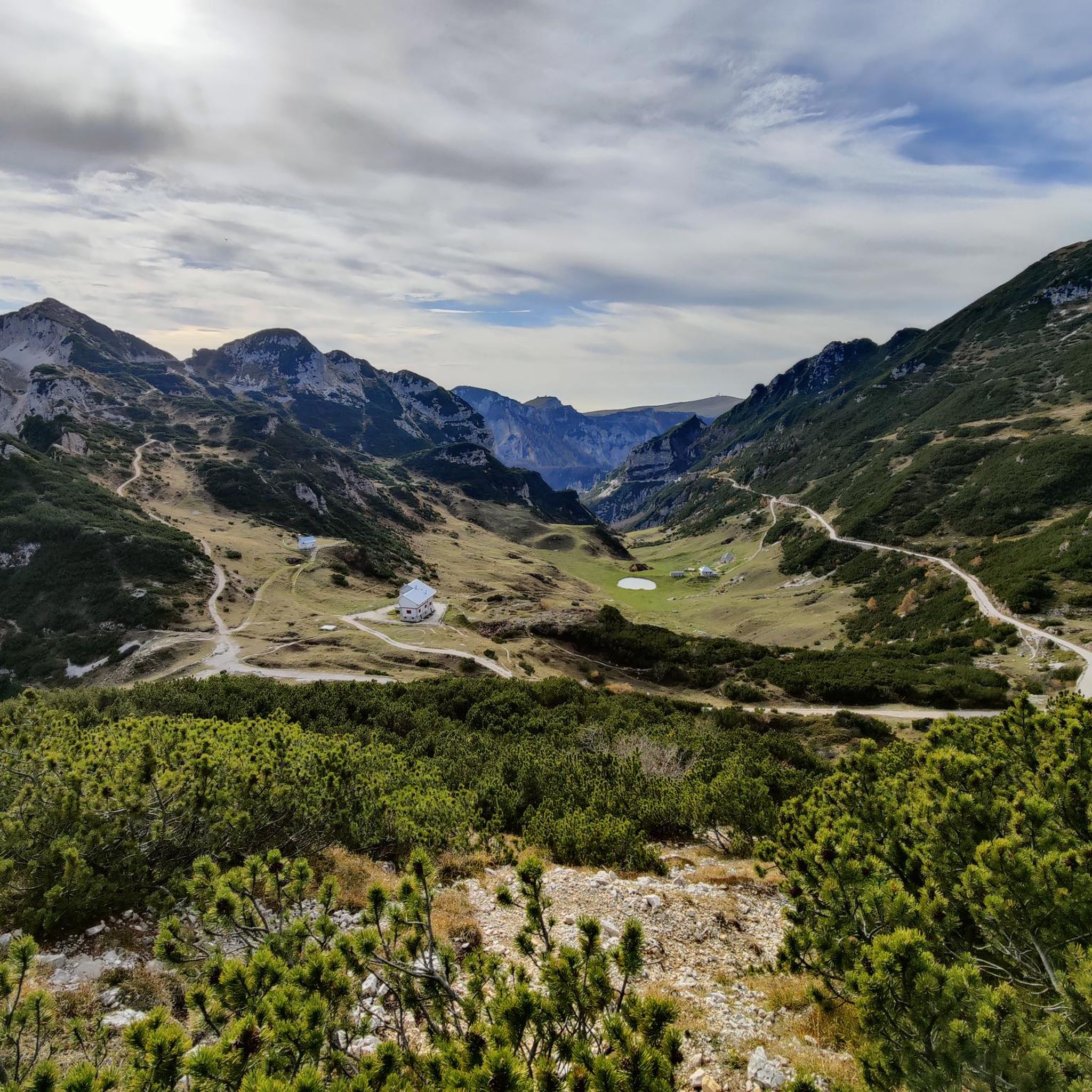
Mountaineering routes in Riserva Naturale Guidata Di Campobrun traverse a rugged and wild landscape within the southern Trentino region of Italy. This area is characterized by prominent peaks like Obante and Pilsche, and the Carega chain, all part of the Piccole Dolomiti Mountains. The terrain features a diverse mountain environment, with altitudes reaching up to 1,600 meters above sea level, offering varied challenges for mountaineers. The reserve's unique microclimate, protected by the Piccole Dolomiti, supports rich and flourishing vegetation.
Best mountaineering routes in Riserva Naturale Guidata Di Campobrun
- The most popular mountaineering route is Carega Peak – Rifugio Scalorbi loop from Riserva naturale guidata di Campobrun, a 7.8 miles (12.6 km) trail that takes 5 hours 24 minutes to complete. This difficult route offers expansive views across the rugged mountain terrain.
- Another top favourite among local mountaineers is Carega Peak loop from Riserva naturale guidata di Campobrun, a moderate 6.1 miles (9.8 km) path. This route explores the diverse mountain environment around Carega Peak.
- Local mountaineers also love the Carega Peak loop from Le Giare, an 8.7 miles (14.0 km) trail leading through the Piccole Dolomiti Mountains, often completed in about 6 hours 45 minutes.
- Mountaineering in Riserva Naturale Guidata Di Campobrun is defined by rugged terrain, prominent peaks, and diverse vegetation. The network offers options primarily for moderate to difficult ability levels, with 4 moderate and 21 difficult routes available.
- The routes in Riserva Naturale Guidata Di Campobrun are highly rated by the komoot community with an average score of 4.8 stars from over 40 reviews. More than 400 mountaineers have used komoot to explore Riserva Naturale Guidata Di Campobrun's varied terrain.
Last updated: August 28, 2026
5.0
(3)
32
hikers
Hard mountaineering route. Very good fitness required. Mostly accessible paths. Sure-footedness required.
5.0
(1)
18
hikers
14.1km
06:47
1,100m
1,100m
Hard mountaineering route. Very good fitness required. Sure-footedness, sturdy shoes and alpine experience required.

Sign up for free
4.5
(4)
52
hikers
Hard mountaineering route. Good fitness required. Sure-footedness, sturdy shoes and alpine experience required.
5.0
(1)
10
hikers
15.7km
07:36
1,200m
1,200m
Hard mountaineering route. Very good fitness required. Sure-footedness, sturdy shoes and alpine experience required.
4.8
(4)
26
hikers
5.84km
03:10
530m
530m
Hard mountaineering route. Good fitness required. Sure-footedness, sturdy shoes and alpine experience required.
Get access to more routes and recommendations from other explorers.
Sign up for free
Already have an account?
Our route recommendations are based on thousands of hikes, rides, and runs completed by other people on komoot.
Start today with a free account
Your next adventure awaits.
Login or Signup
Popular around Riserva Naturale Guidata Di Campobrun
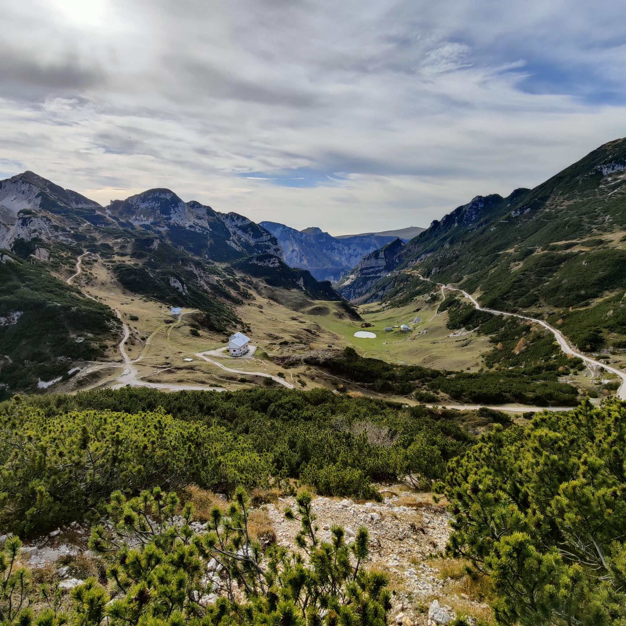
Hiking in Riserva Naturale Guidata Di Campobrun
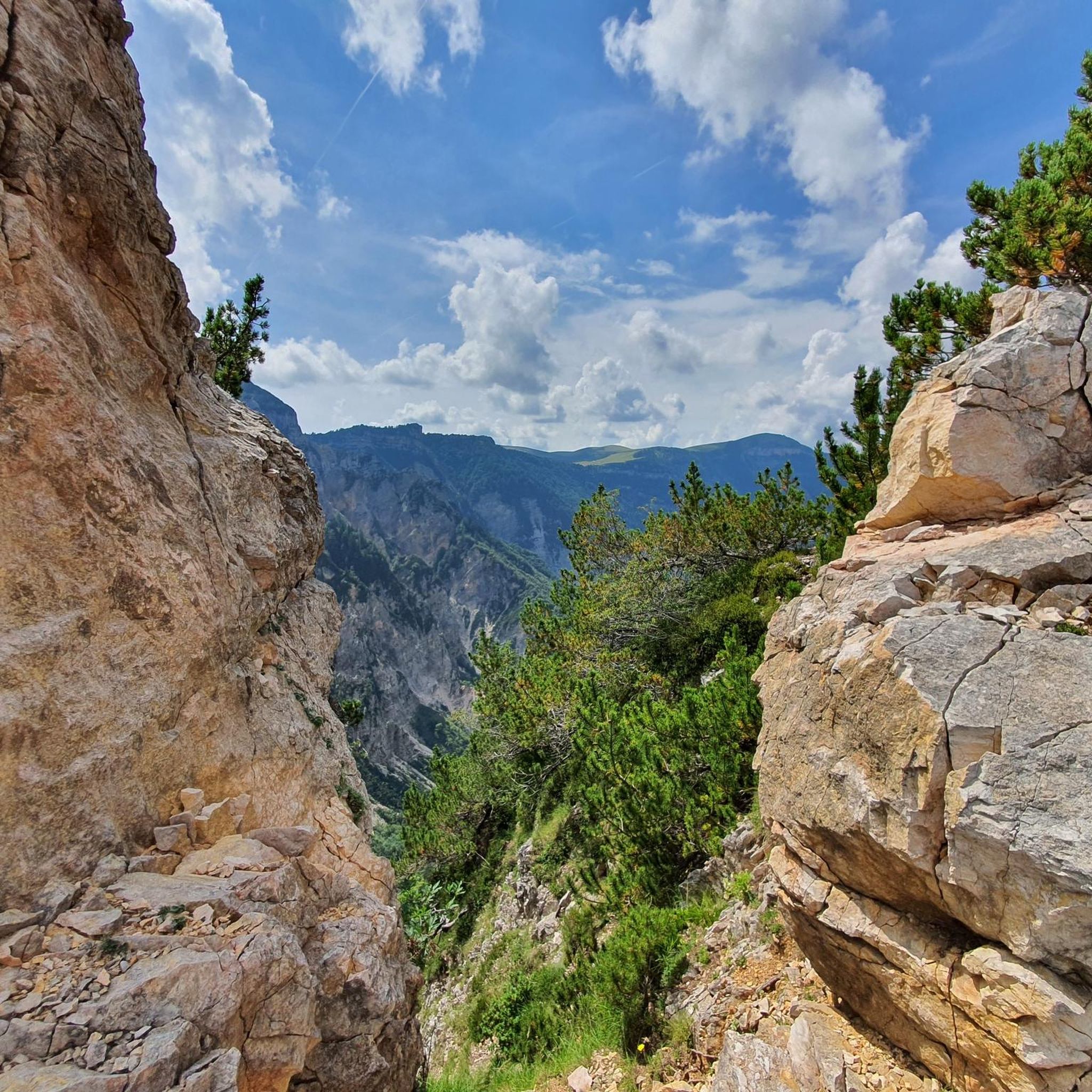
Running Trails in Riserva Naturale Guidata Di Campobrun
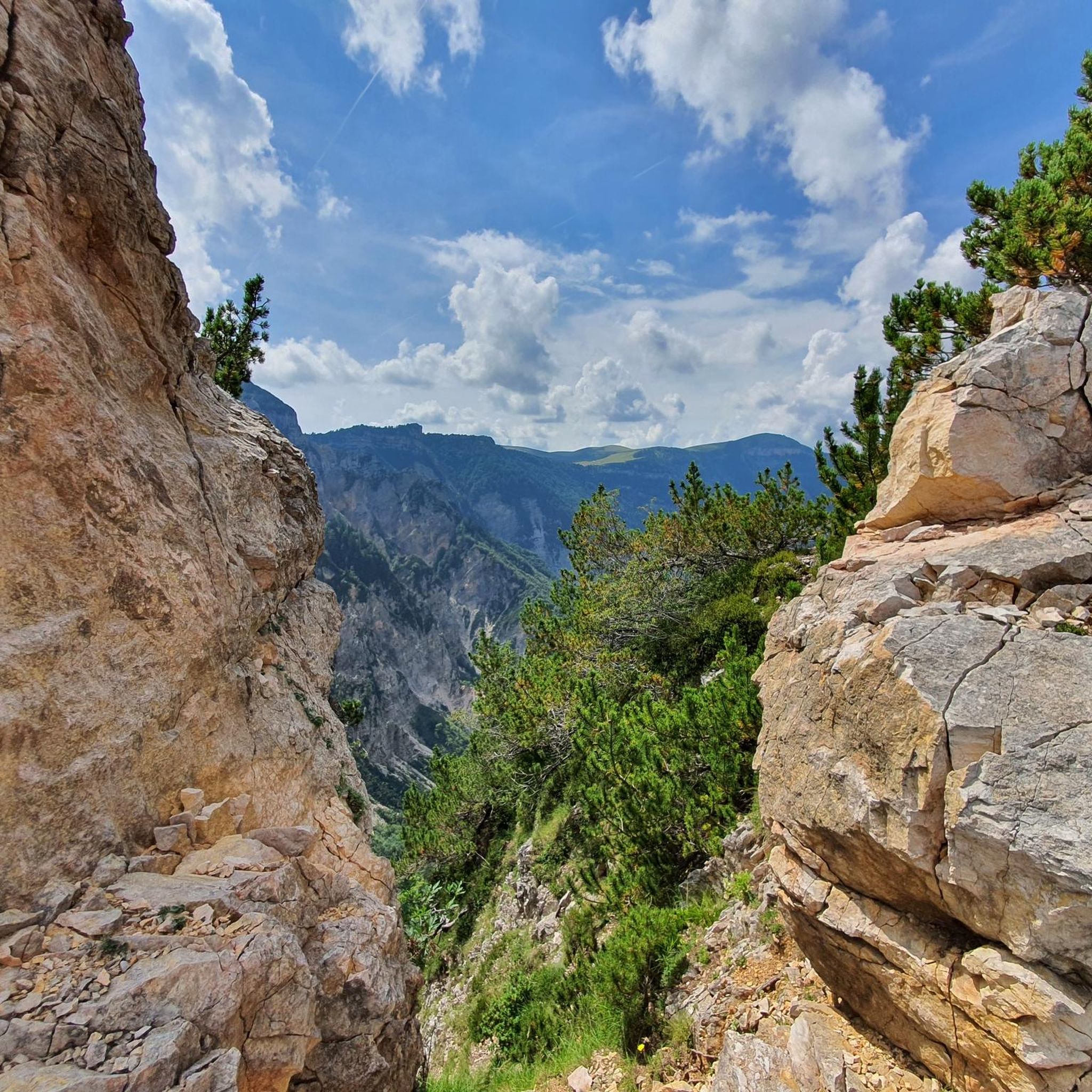
MTB Trails in Riserva Naturale Guidata Di Campobrun
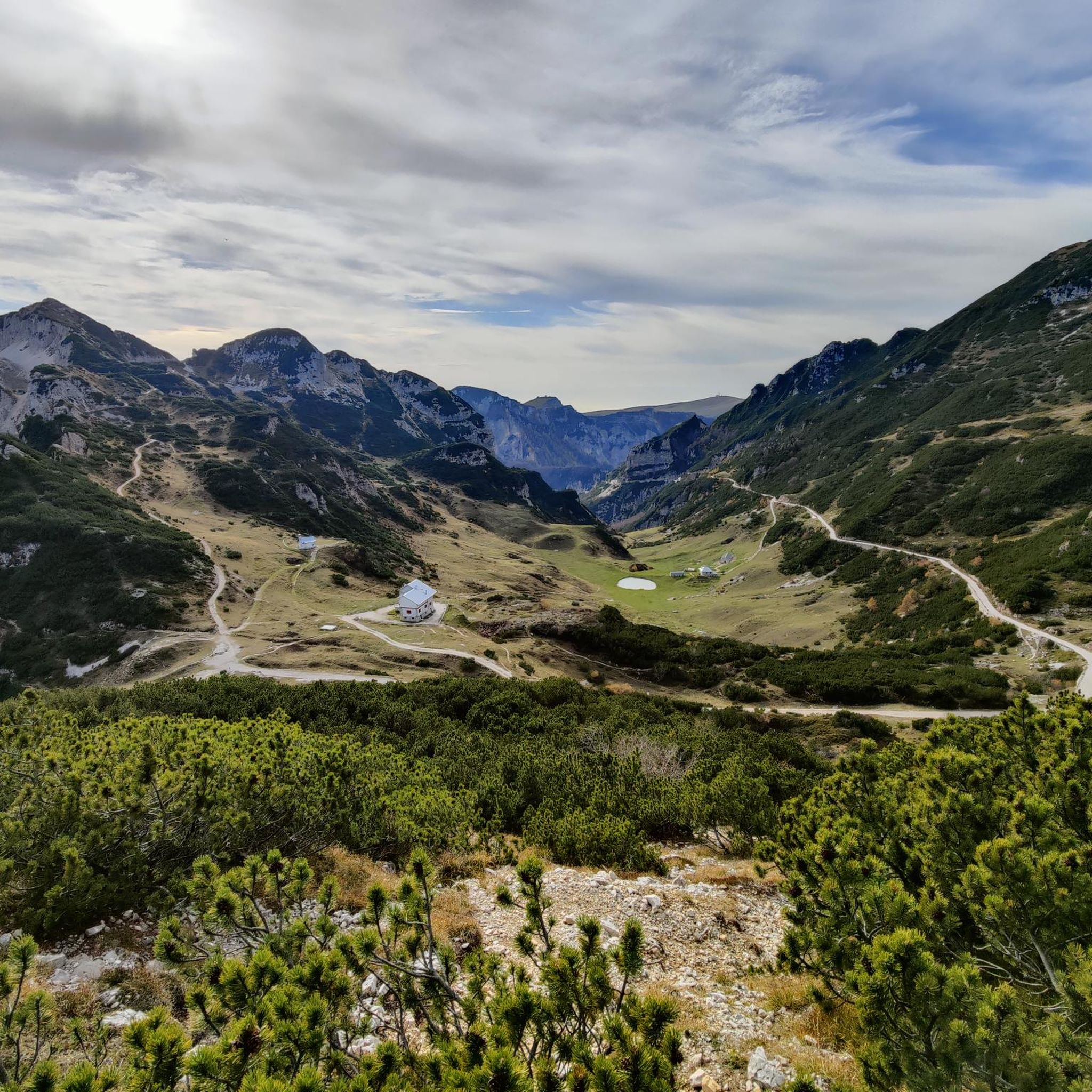
Cycling in Riserva Naturale Guidata Di Campobrun

Gravel biking in Riserva Naturale Guidata Di Campobrun
Road Cycling Routes in Riserva Naturale Guidata Di Campobrun
Tips from the Community

be careful, there is a ban on bicycles
0
0

Beautiful stretch of trail 221, exposed and appropriately equipped with a metal rope on the wall.
0
0

Mount Zèvola (1,976 m) is the highest peak in the Tre Cime mountain chain, one of the mountain groups of the Little Dolomites (the Tre Croci chain, the Carega Group, the Sengio Alto chain, and the Pasubio Massif). The summit is actually divided in two by the deep Vajo dell'Acqua: Zevola Alta (1,976 m) and Zevola Bassa or Antecima (1,961 m), with the cross. From up here, you can enjoy a stunning 360° panorama: on one side, there's an excellent view of Carega and Pasubio, and on the other, the entire Lessinia plateau. The climb from Passo Zevola is short but steep.
0
0
From Monte Gramolòn (1,814 m), you have a breathtaking 360° view of the Piccole Dolomiti, the Sentiero dei Grandi Alberi trail below, and, on the opposite side, the Lessinia mountains! The climb from Passo Ristele (to the north) is short but steep, and breathtaking! From Passo della Scagina (to the south), it's even steeper and more technical, EE, with frequent switchbacks that ascend a deep gully: very evocative. On this side, there are also the Angelo Viali and Ferrari via ferratas. The summit, with its cross, touches a spectacular but exposed ridgeline over the precipice, so be careful and avoid leaning out. The toponym derives from the dialect verb 'sgramolare', meaning to break into lumps: therefore, 'Gramolon' means the mountain that crumbles, due to subsidence and scree!
0
0

Rifugio Battisti is a starting point for beautiful walks and a stopover for bike rides with spectacular landscapes.
0
0

Open all year round on weekends and every day in summer
0
0


Rifugio Pompeo Scalorbi is located at 1,767 meters above sea level, in the heart of the Piccole Dolomiti. It can be reached by several hiking trails, and is a reference point for excursions and climbs in the Carega group. It offers typical local cuisine and the possibility of overnight stays. It opens in the summer season, but for more information, you can visit the website: www.rifugioscalorbi.com.
1
1
Frequently Asked Questions
What is the overall difficulty of mountaineering routes in Riserva Naturale Guidata Di Campobrun?
The routes in Riserva Naturale Guidata Di Campobrun are primarily for experienced mountaineers. Out of 25 available routes, 21 are classified as difficult, and 4 are moderate. There are no easy routes in this guide, indicating a challenging terrain suitable for those with good physical condition and mountaineering experience.
Are there any routes suitable for beginners in Riserva Naturale Guidata Di Campobrun?
Riserva Naturale Guidata Di Campobrun offers a challenging mountaineering experience. All 25 routes listed in this guide are either moderate or difficult, with no routes specifically categorized as easy. Beginners should be aware of the demanding terrain and consider routes with less elevation gain and shorter distances, such as the Carega Peak loop from Riserva naturale guidata di Campobrun, which is rated moderate.
What natural features or landmarks can I expect to see while mountaineering in the reserve?
The reserve is characterized by rugged limestone cliffs, steep valleys, and extensive pasturelands. You'll encounter prominent dolomitic rock formations at higher altitudes and grey limestones in lower areas. Notable peaks include Obante and Pilsche, and the Carega chain. Along your routes, you might pass by significant points like the Pompeo Scalorbi Hut, Passo Pertica Mountain Hut, and the Tre Croci Pass, offering stunning views and resting spots.
Are there any historical points of interest along the mountaineering routes?
Yes, the area holds historical significance, particularly from World War I. As you traverse the terrain, you may come across visible remnants of cableway bases and fortifications that were used for military supply and defense during the war, adding a layer of historical context to your mountaineering adventure.
What is the best season for mountaineering in Riserva Naturale Guidata Di Campobrun?
The best season for mountaineering in Riserva Naturale Guidata Di Campobrun is typically from late spring to early autumn (May to October). During these months, the weather is generally more stable, and trails are free of snow, making for safer and more enjoyable conditions. Always check local weather forecasts before heading out, as mountain conditions can change rapidly.
Are there any circular mountaineering routes available?
Yes, many of the mountaineering routes in Riserva Naturale Guidata Di Campobrun are circular, allowing you to start and end at the same point. An example is the challenging Rifugio Cesare Battisti – Monte Zevola loop from Riserva naturale guidata di Campobrun, which covers 9.4 km with significant elevation gain.
What do other mountaineers enjoy most about the routes in Riserva Naturale Guidata Di Campobrun?
The mountaineering routes in Riserva Naturale Guidata Di Campobrun are highly rated by the komoot community, with an average score of 4.8 stars from over 40 reviews. Reviewers often praise the wild and pristine environment, the challenging nature of the trails, and the panoramic views across the rugged mountain terrain, especially around peaks like Cima Carega.
Is parking available near the trailheads for mountaineering routes?
While specific parking information for each trailhead can vary, access points to the Riserva Naturale Guidata Di Campobrun generally have designated parking areas. It is advisable to research the specific starting point of your chosen route in advance to confirm parking availability and any potential fees. Many routes, like those starting from Rifugio Revolto or Le Giare, have nearby parking options.
Can I bring my dog on the mountaineering trails?
Riserva Naturale Guidata Di Campobrun is a protected natural area. While many natural parks in Italy allow dogs on trails, it's crucial to check the specific regulations for this guided nature reserve. Typically, dogs are required to be on a leash to protect wildlife and maintain the natural environment. Always ensure your dog is well-behaved and that you carry waste bags.
Are there any huts or refuges along the mountaineering routes for breaks or overnight stays?
Yes, there are several huts and refuges that can serve as excellent points for breaks, refreshments, or even overnight stays, depending on your route. Notable examples include the Pompeo Scalorbi Hut, Passo Pertica Mountain Hut, and the Revolto Hut. These provide essential services and a chance to experience mountain hospitality.
What is the highest point I can reach on a mountaineering route in the reserve?
The reserve is protected by peaks like Obante and Pilsche, and the Carega chain. While specific route maximum altitudes vary, mountaineering routes in Riserva Naturale Guidata Di Campobrun can reach significant elevations, offering expansive views. For instance, the Rifugio Cesare Battisti – Monte Obante loop from Rifugio Cesare Battisti involves substantial elevation gain, leading to high points within the range.
Most popular routes in Riserva Naturale Guidata Di Campobrun
Most popular attractions in Riserva Naturale Guidata Di Campobrun

Get inspired with the komoot mobile app


Explore more
Browse the best Mountain Hikes & Routes in other regions.
