The best MTB trails in Riserva Naturale Piano Degli Ontani
4.5
(269)
1,764
riders
67
rides
Mountain biking in Riserva Naturale Piano Degli Ontani offers diverse landscapes within the Pistoiese Mountains, characterized by monumental beech forests and a ridge featuring expansive meadows. The terrain includes varied surfaces, from initial uphill stretches on asphalt to well-maintained forest paths and potentially uneven descents. Watercourses are present throughout the reserve, even in summer, alongside unique geological formations like "macereti" and isolated sandstone slabs.
Best mountain bike trails in Riserva Naturale Piano Degli Ontani
- The most popular mountain bike trail…
Last updated: October 18, 2026
4.8
(10)
60
riders
35.0km
03:37
1,130m
1,130m
Hard mountain bike ride. Very good fitness required. Advanced riding skills necessary.
4.4
(7)
37
riders
Moderate mountain bike ride. Good fitness required. Advanced riding skills necessary.

4.6
(15)
50
riders
42.4km
04:19
1,410m
1,410m
Hard mountain bike ride. Very good fitness required. Advanced riding skills necessary. Some portions of the route may require you to push your bike.
4.7
(3)
33
riders
56.2km
06:12
2,130m
2,130m
Hard mountain bike ride. Very good fitness required. Advanced riding skills necessary. Some portions of the route may require you to push your bike.
5.0
(5)
43
riders
37.5km
03:32
1,230m
1,230m
Hard mountain bike ride. Very good fitness required. Advanced riding skills necessary. Some portions of the route may require you to push your bike.
Get access to more routes and recommendations from other explorers.
Already have an account?
Our route recommendations are based on thousands of hikes, rides, and runs completed by other people on komoot.
Start today with a free account
Your next adventure awaits.
Popular around Riserva Naturale Piano Degli Ontani
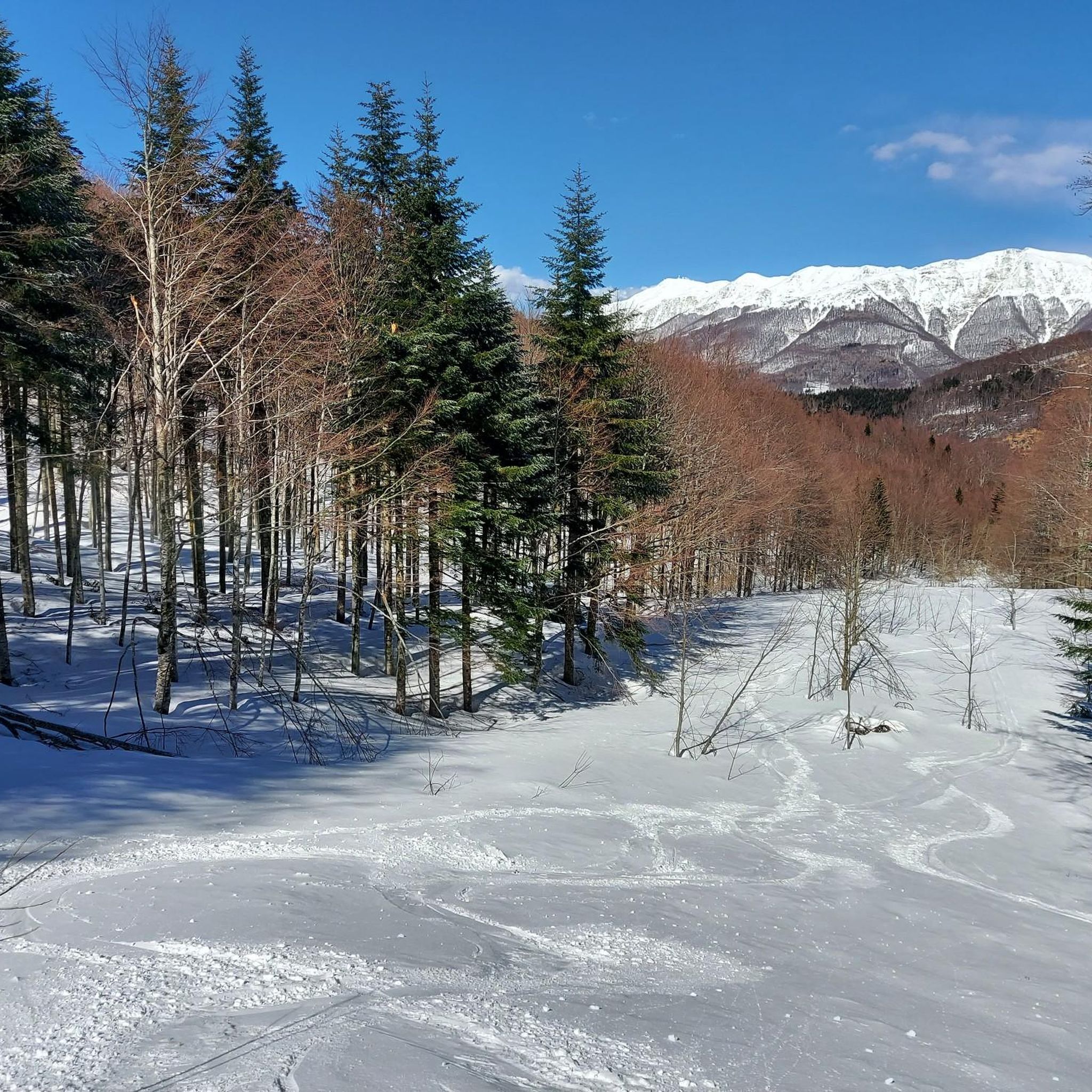
Hiking in Riserva Naturale Piano Degli Ontani

Road Cycling Routes in Riserva Naturale Piano Degli Ontani
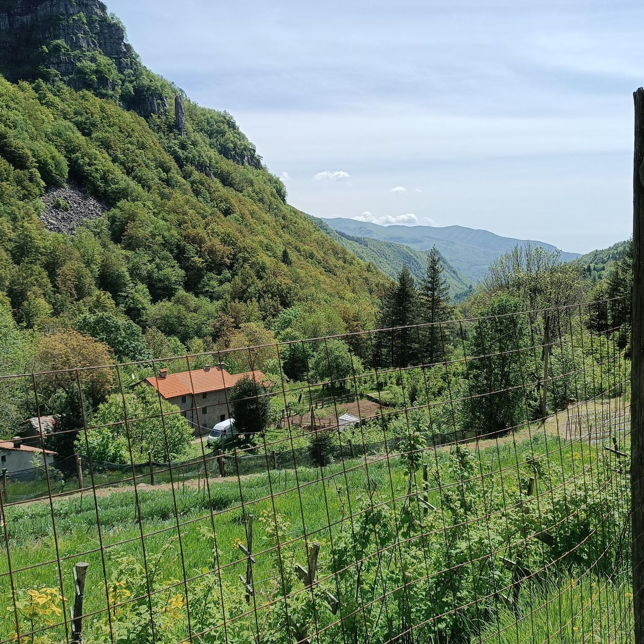
Running Trails in Riserva Naturale Piano Degli Ontani
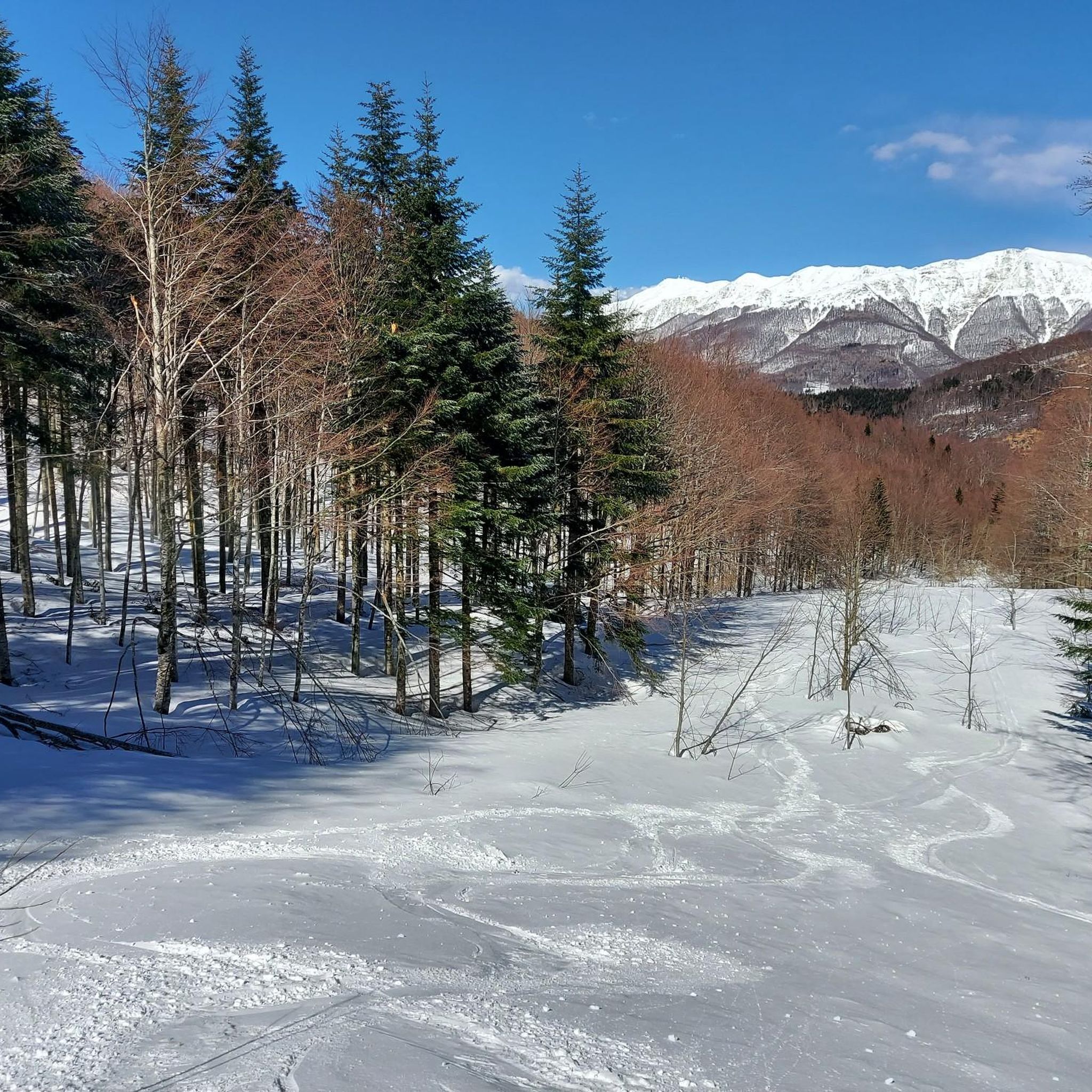
Cycling in Riserva Naturale Piano Degli Ontani

Mountain Hikes in Riserva Naturale Piano Degli Ontani

Gravel biking in Riserva Naturale Piano Degli Ontani
Tips from the Community

To reach the pass, the road is unpaved and quite rough; it is a passable road and you may (rarely) encounter cars. Riding it with a Gravel bike is challenging, but doable. We are at 1600m with rapidly changing weather. If desired, the unpaved road continues into Emilia Romagna, reaching the areas of Pieve pelago.
0
0

Gothic Line Tuscan-Emilian Watershed
0
0

On clear days, with a bit of luck, you can see the peaks of the Apuan Alps and the Tyrrhenian Sea with the profile of the island of Gorgona.
1
0

Breathtaking view and crossroads for various excursions
1
0

The Rifugio Duca degli Abruzzi, at 2,388 m, is located in the heart of the Gran Sasso on the crest of Monte Portella. It is open from June to September, offers typical Abruzzo cuisine and the possibility of overnight stays. It can be reached from Campo Imperatore, and on weekends it is advisable to book by contacting the managers. More information on the website: www.rifugioducadegliabruzzi.it
2
6

Flag bearer at the Duca degli Abruzzi Refuge
1
0

If you want to eat at the refuge, I strongly recommend booking in advance. Spectacular polenta.
3
0

Frequently Asked Questions
What is the general difficulty level of mountain bike trails in Riserva Naturale Piano Degli Ontani?
The reserve offers a mix of medium-difficulty and challenging routes. While some trails are suitable for intermediate riders, many are classified as difficult, featuring significant elevation gains and varied terrain. Out of 64 available routes, 18 are moderate and 46 are difficult, providing options for different skill levels.
What kind of terrain can I expect on the mountain bike trails in the reserve?
You'll encounter diverse terrain, including initial uphill stretches on asphalt, well-maintained forest paths, and potentially uneven or rougher sections, especially on descents. The landscape is characterized by monumental beech forests, expansive meadows, and numerous watercourses, even in summer. You might also spot unique geological formations like "macereti" (accumulations of large boulders) and isolated sandstone slabs.
Are there any challenging mountain bike routes for experienced riders?
Yes, experienced riders will find plenty of challenging options. For instance, the Giovo Pass – Giovo Pass loop from Vico Pancellorum is a difficult 35 km path with over 1100 meters of elevation gain, offering diverse forest and mountain scenery. Another demanding route is the Ascent to Cimoncino – Lake of the Nymph loop from Abetone Cutigliano, which spans over 62 km with more than 2100 meters of ascent.
What are some notable natural features or landmarks to look out for along the trails?
The reserve is rich in natural beauty. You can explore the monumental beech forests, which are a defining feature of the area. Keep an eye out for the "macereti" (accumulations of large boulders) and isolated sandstone slabs. Points of interest include the unmanaged Refuge Lippi (Lagacciolo) near a small stagnant water pool, and the Cecchini Refuge, known for its fresh spring water. The Pizzo Alpestre summit also offers impressive views.
Are there any facilities or amenities available along the mountain bike routes?
Yes, the reserve provides some useful amenities. You'll find fountains and springs conveniently located along the routes for water refills. There are also refuges like the unmanaged Refuge Lippi and the Cecchini Refuge. The "Fior di Pietra" Visitors' Center at the reserve's entrance offers an educational room and exhibitions.
What do other mountain bikers enjoy most about riding in Riserva Naturale Piano Degli Ontani?
The area is highly rated by the komoot community, with an average score of 4.5 stars from over 220 reviews. Mountain bikers often praise the diverse landscapes, the enchanting experience through the monumental beech forests, and the variety of terrain that caters to different skill levels. The presence of numerous watercourses and cool shaded areas is also frequently appreciated.
Are there any circular mountain bike routes available?
Yes, many of the mountain bike trails in Riserva Naturale Piano Degli Ontani are circular. For example, the Anello Tra Province – Pista Zeno Colò loop from Riserva naturale Campolino is a popular 16.2 km loop. Another option is the Verginetta Pass – Abetone Pass loop from Riserva naturale Abetone, a 22 km trail that takes you through beech forests and mountain passes.
What is the best time of year to go mountain biking in Riserva Naturale Piano Degli Ontani?
The reserve is generally suitable for mountain biking from spring through autumn. The flat stretches offer opportunities for rest and enjoying the forest's cool shade, which is particularly pleasant during warmer months. While the terrain is rich in watercourses even in summer, caution is advised on blind curves as some sections are also popular with hikers. In winter, some wide dirt roads transform into cross-country skiing tracks.
Is there parking available for mountain bikers?
While specific parking areas for mountain bikers are not detailed in the provided information, the presence of a Visitors' Center and various trailheads suggests that parking facilities are available at key access points to the reserve. It's advisable to check local signage upon arrival or consult specific route descriptions for parking recommendations.
Can I bring my dog on the mountain bike trails?
The reserve is a natural area, and generally, dogs are allowed on trails, often on a leash. However, specific regulations regarding dogs on mountain bike trails can vary. It's always best to check local park rules or signage at the reserve entrance to ensure compliance and respect for wildlife and other visitors.
Are there any family-friendly mountain bike options?
While many trails are medium to difficult, the reserve features wide dirt roads that are generally easier to navigate. These sections, which transform into cross-country skiing tracks in winter, could be suitable for families looking for a less challenging ride. The "Fior di Pietra" Visitors' Center and the artistic pathway "A tempo di gioco nell'orto di Giovannino" also offer family-oriented activities off the main trails.
How long do mountain bike rides typically last in the reserve?
The duration of a ride varies significantly based on the route's length and difficulty. A typical route measures around 16 km with about 393 meters of elevation gain. For example, the Anello Tra Province – Pista Zeno Colò loop (16.2 km) takes approximately 1 hour 33 minutes, while a more challenging 35 km route like the Giovo Pass – Giovo Pass loop can take over 3 hours 30 minutes.
Most popular routes in Riserva Naturale Piano Degli Ontani
Most popular attractions in Riserva Naturale Piano Degli Ontani

Get inspired with the komoot mobile app


Explore more
Browse the best MTB trails in other regions.
