The best MTB trails in Monte Cornoviglio - Monte Fiorito - Monte Dragnone
4.6
(173)
1,326
riders
75
rides
Mountain bike trails in Monte Cornoviglio - Monte Fiorito - Monte Dragnone traverse a mountainous region characterized by prominent peaks such as Monte Cornoviglio (1,162 m), Monte Fiorito (1,090 m), and Monte Dragnone (1,002 m). The area features diverse ecosystems, including meadows and deciduous forests, and is recognized as a Natura 2000 site. Mountain biking here offers varied gradients and elevation changes, with many routes providing panoramic views of the coast and surrounding landscapes.
Best mountain bike trails in Monte…
Last updated: August 23, 2026
8
riders
30.6km
03:14
850m
850m
Moderate mountain bike ride. Good fitness required. Suitable for all skill levels.
5.0
(2)
5
riders
13.8km
01:23
310m
310m
Moderate mountain bike ride. Good fitness required. Suitable for all skill levels.

Sign up for free
14
riders
45.3km
04:38
1,360m
1,360m
Hard mountain bike ride. Very good fitness required. Advanced riding skills necessary. Some portions of the route may require you to push your bike.
4.8
(5)
16
riders
36.7km
03:36
890m
900m
Hard mountain bike ride. Good fitness required. Advanced riding skills necessary. Some portions of the route may require you to push your bike.
4
riders
19.5km
01:53
730m
730m
Moderate mountain bike ride. Good fitness required. Advanced riding skills necessary.
Get access to more routes and recommendations from other explorers.
Sign up for free
Already have an account?
Our route recommendations are based on thousands of hikes, rides, and runs completed by other people on komoot.
Start today with a free account
Your next adventure awaits.
Login or Signup
Popular around Monte Cornoviglio - Monte Fiorito - Monte Dragnone

Alta Via Stage Race – Only the brave
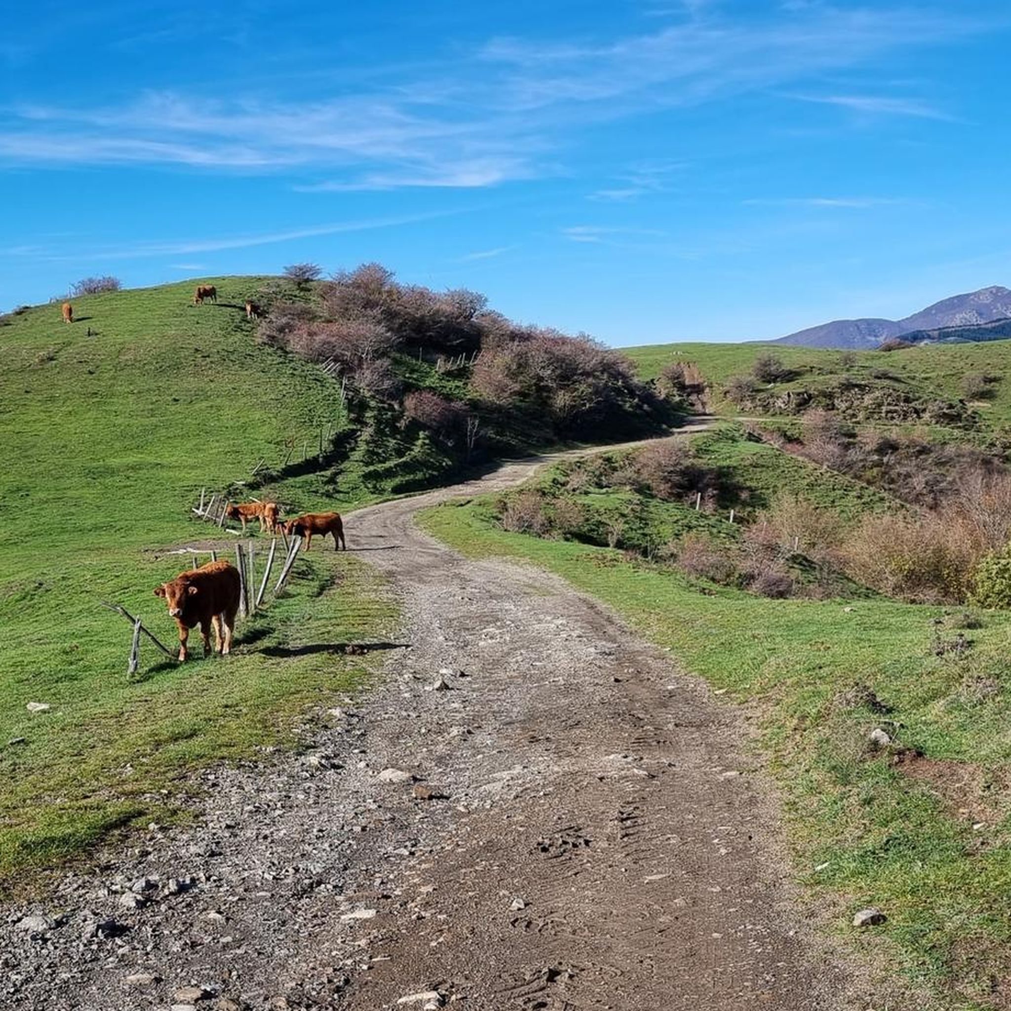
Hiking in Monte Cornoviglio - Monte Fiorito - Monte Dragnone
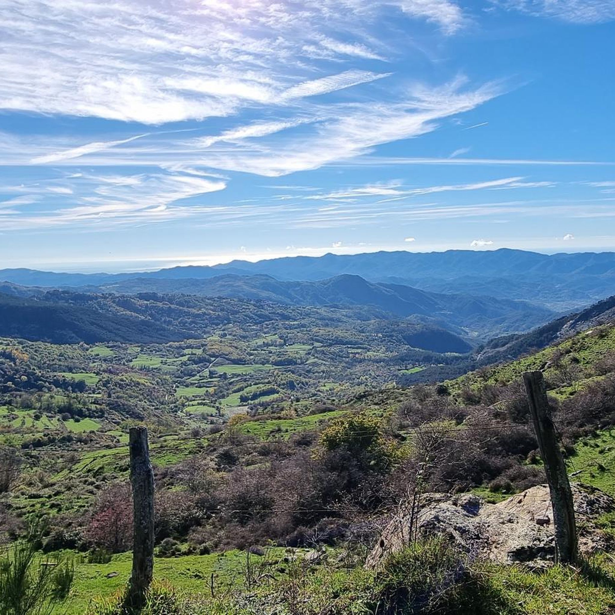
Road Cycling Routes in Monte Cornoviglio - Monte Fiorito - Monte Dragnone
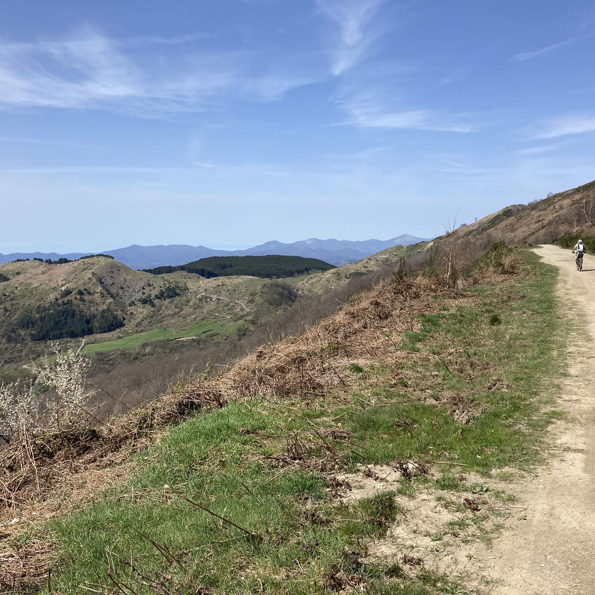
Cycling in Monte Cornoviglio - Monte Fiorito - Monte Dragnone
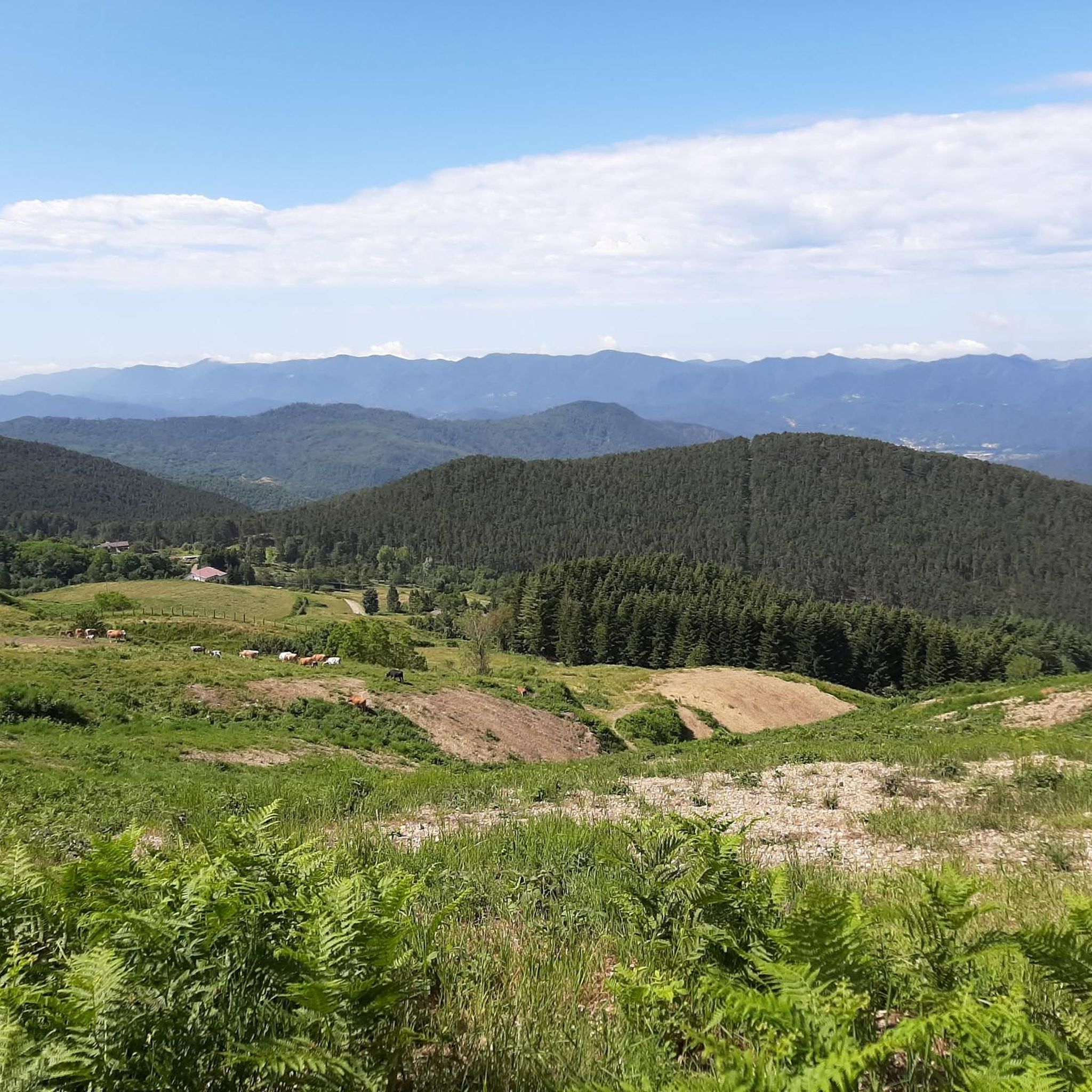
Running Trails in Monte Cornoviglio - Monte Fiorito - Monte Dragnone
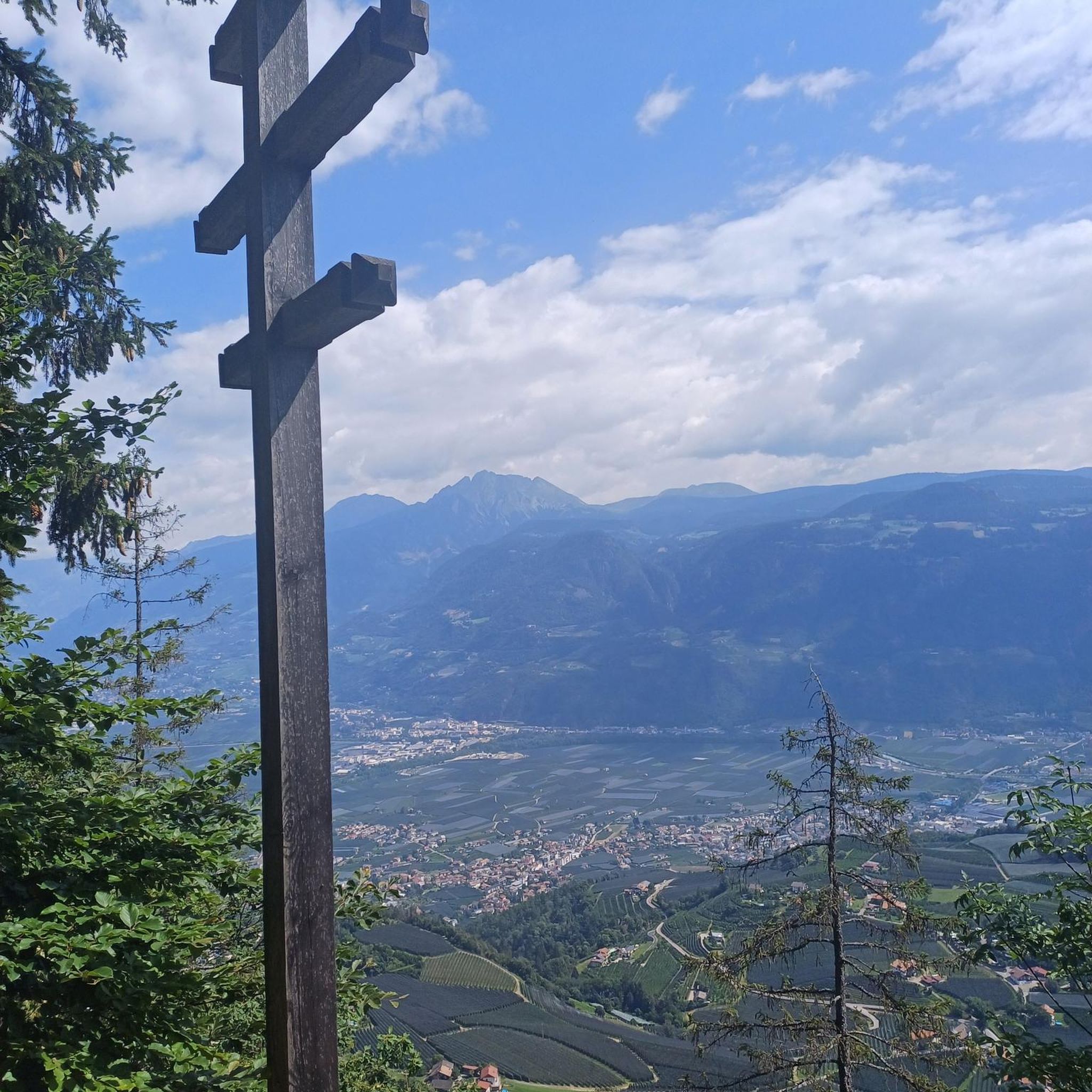
Gravel biking in Monte Cornoviglio - Monte Fiorito - Monte Dragnone
Other adventures in Monte Cornoviglio - Monte Fiorito - Monte Dragnone

Tips from the Community

Passo Alpicella is located at 710m above sea level and is part of the 42nd stage of the Alta Via dei Monti Liguri. It is located on the watershed ridge between Val di Vara and Valle del Magra, offering open views that on clear days reach the Apuan Alps and the Gulf of Poets.
0
0

ALPICELLA PASS WHICH DIVIDES LIGURIA FROM TUSCANY PHOTO OF THE OLD RESTAURANT
1
0
Fantastic place with a unique view. Easy to reach
0
0

As a link between Pontremoli and Sesta Godano, the Rastrello was tackled by the Giro d'Italia only once, in 1963. Giorgio Zancanaro was the first to reach the summit. It climbs over 1,000 meters above sea level.
2
0

The panoramic road of Mount Cornoviglio is located between the Alpicella pass and the Casoni pass: this offers a fantastic view of the coast and the entire region.
4
0
The Rastrello Pass is located between Zeri and the Val di Vara and symbolically divides the territories of Pontremoli from those of Genoa.
1
0

The food is good and, in low season, you can ask to sleep in one of the nearby pitches in a tent!
3
0

In addition to the great location and the good, typical regional cuisine, you can also spend the night here in a friendly atmosphere. Reservation is advisable due to the limited number of beds. You can find more information here: https://www.trattoria-deicacciatori.it/sezione/15769_lalbergo.html
3
0
Frequently Asked Questions
How many mountain bike trails are there in Monte Cornoviglio - Monte Fiorito - Monte Dragnone?
The Monte Cornoviglio - Monte Fiorito - Monte Dragnone region offers over 60 mountain bike trails. These routes cater to various skill levels, ranging from easy paths to challenging climbs through mountainous terrain.
What kind of terrain can I expect on mountain bike trails in this region?
You can expect diverse terrain, including mountainous sections with varied gradients and elevation changes. The trails often pass through deciduous forests and open meadows, providing a mix of technical challenges and scenic rides. Many routes offer panoramic views of the coast and surrounding landscapes.
Are there any easy mountain bike trails suitable for beginners?
While most trails are moderate to difficult, there is at least one easy mountain bike route available. For those looking for a less strenuous ride, consider exploring the areas around Calice al Cornoviglio, which offer gentler sections.
What are some notable viewpoints or natural features along the mountain bike trails?
The region is rich in scenic spots. You can find breathtaking views along the Monte Cornoviglio scenic road and the Casoni–Monte Stronzo Panoramic Road. The Casoni-Rastrello Pass is another easily accessible spot for relaxation and views. Many trails also offer a view of Monte Cornoviglio, Monte Fiorito, and Monte Dragnone themselves.
Are there any circular mountain bike routes in the area?
Yes, there are several circular routes available. For example, the Mountainbike loop from Calice al Cornoviglio is a moderate 13.8 km path that explores the local area. Another option is the Zovizeri – Alta Via dei Monti Liguri loop from Coloretta, a moderate 20.5 km ride.
What is the best time of year to go mountain biking in Monte Cornoviglio - Monte Fiorito - Monte Dragnone?
The region's mountainous terrain and diverse ecosystems make it enjoyable across multiple seasons. Spring and autumn generally offer pleasant temperatures and vibrant scenery. Summer can also be good, especially at higher elevations, but be prepared for warmer conditions. Winter riding might be possible at lower altitudes, but higher trails could be affected by snow or ice.
Are there any places to eat or stay near the mountain bike trails?
Yes, you can find amenities in the area. For instance, the Trattoria Dei Cacciatori Casoni offers food and even camping options during the low season, making it a convenient stop for riders exploring the Casoni area.
What do other mountain bikers enjoy most about mountain biking in Monte Cornoviglio - Monte Fiorito - Monte Dragnone?
The area is highly rated by the komoot community, with an average score of 4.5 stars from over 120 reviews. Riders often praise the varied terrain, the stunning panoramic views of the coast, and the opportunity to explore diverse ecosystems like meadows and deciduous forests.
Are there any challenging mountain bike trails for experienced riders?
Absolutely. The region features 37 difficult mountain bike routes. An example is the Alta Via dei Monti Liguri – Zovizeri loop from Suvero, a 36.7 km trail with significant elevation gain, often completed in about 3 hours 35 minutes, offering a demanding experience through mountainous terrain.
Can I find trails that are part of the Alta Via dei Monti Liguri?
Yes, several mountain bike trails in the region incorporate sections of the Alta Via dei Monti Liguri. For example, the Alta Via dei Monti Liguri – Zovizeri loop from Gruzza di Veppo is a popular moderate route that covers 30.6 km and offers varied terrain through the region's natural landscapes.
Are there any historical or cultural sites to see while mountain biking?
Beyond natural beauty, the area has historical interest. Monte Dragnone features a small church at its summit, and Monte Castellaro retains traces of medieval buildings, with findings from the Bronze Age. These elements can add a cultural dimension to your outdoor excursions.
What are the elevation gains like on the mountain bike trails?
The mountainous nature of the region means trails often feature significant elevation changes. For instance, the Solini Pass – Passo Alpicella (710 m) loop from Giovagallo involves an ascent of over 720 meters, providing a good workout and rewarding views.
Most popular routes in Monte Cornoviglio - Monte Fiorito - Monte Dragnone
Most popular attractions in Monte Cornoviglio - Monte Fiorito - Monte Dragnone

Get inspired with the komoot mobile app


Explore more
Browse the best MTB trails in other regions.
