The best running trails in Ronco Di Maglio
4.5
(13)
589
runners
73
runs
Jogging in Ronco Di Maglio offers diverse terrain within the Ligurian Prealps of northern Italy. The region is characterized by extensive beech forests, providing shaded and scenic environments for runners. Its varied topography includes gently undulating forms and steeper slopes, offering a mix of challenges for different jogging intensities. Ronco Di Maglio stands on a ridge separating the Osiglia and Pallare valleys, contributing to the varied scenery encountered on its trails.
Best jogging routes in Ronco Di Maglio
- The most…
Last updated: June 29, 2026
11
runners
54.4km
07:15
2,150m
2,150m
Hard run. Very good fitness required. Sure-footedness, sturdy shoes and alpine experience required.
5.0
(1)
22
runners
4.21km
00:27
50m
50m
Easy run. Great for any fitness level. Mostly paved surfaces. Suitable for all skill levels.

Sign up for free
4
runners
16.9km
02:02
540m
540m
Hard run. Very good fitness required. Mostly paved surfaces. Suitable for all skill levels.
5
runners
5.00km
00:31
30m
30m
Easy run. Great for any fitness level. Mostly paved surfaces. Suitable for all skill levels.
2
runners
13.8km
01:32
310m
310m
Hard run. Very good fitness required. Mostly paved surfaces. Suitable for all skill levels.
Get access to more routes and recommendations from other explorers.
Sign up for free
Already have an account?
Our route recommendations are based on thousands of hikes, rides, and runs completed by other people on komoot.
Start today with a free account
Your next adventure awaits.
Login or Signup

Tips from the Community

Trail video by GIOCAL: https://youtu.be/KjzxmryR2GY?si=sF5ToqajfeTt2seu
0
0

Common location in the upper Bermuda Valley.
17
0
Great place to top up your water bottles.
14
0

Beautiful place to visit, shame there are always very uncivilized people who throw the impossible on the ground, especially broken beer bottles that risk puncturing bike tires.
1
0

A fairly large crossroads where forest highways and trails meet.
0
0

Every time I'm here I'm happy about the two clear signposts ⬅️➡️ to Orco Feglino 😂
0
0

fundamental joint for mallare and/or super groppo and the manias
0
0
the most basic flow ever born
0
0
Frequently Asked Questions
How many running routes are available in Ronco Di Maglio?
Ronco Di Maglio offers a wide selection of over 50 running routes, catering to various skill levels. These include easy paths, moderate trails, and more challenging runs through the diverse Ligurian Prealps.
Are there easy running routes suitable for beginners in Ronco Di Maglio?
Yes, Ronco Di Maglio has several easy running routes perfect for beginners or those looking for a relaxed jog. For example, the View of Lake Osiglia loop from Osiglia is an easy 2.6-mile (4.2 km) path offering scenic views without significant elevation gain.
What kind of landscapes can I expect while jogging in Ronco Di Maglio?
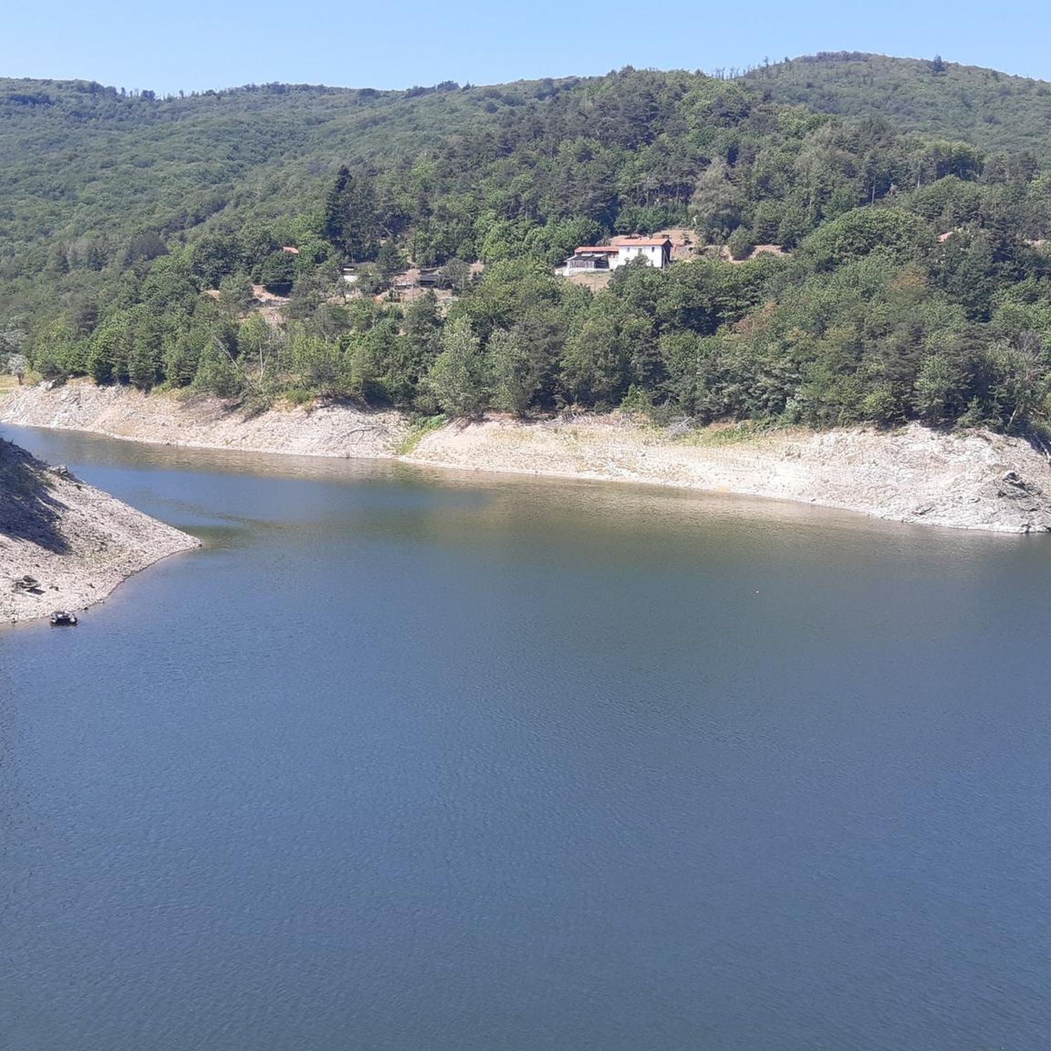
Jogging in Ronco Di Maglio will immerse you in diverse landscapes. You'll primarily experience extensive beech forests, providing shaded and tranquil environments. The terrain varies from gently undulating forms to steeper slopes, offering panoramic views of the upper Valleys of Pállare and Osiglia, the Alpine watershed, and even glimpses of the sea in the distance from higher points.
Are there any family-friendly jogging options in the Ronco Di Maglio area?
Yes, some routes are suitable for families, especially the easier ones. The region's well-marked footpaths and varied terrain mean you can find paths that are less challenging. While the specific "Ronco di Maglio Loop Trail" is generally considered family-friendly, some sections might have uneven ground or moderate ascents, so choosing an easy route like the View of Lake Osiglia loop from Osiglia is a good starting point.
Can I find circular running routes in Ronco Di Maglio?
Absolutely. Many of the running routes in Ronco Di Maglio are designed as loops, allowing you to start and finish at the same point. Examples include the View of Lake Osiglia loop from Osiglia and the St. James Pass – Cravarezza Trailhead loop from Ferriera di Codevilla, which offer varied experiences.
What do other runners enjoy most about the trails in Ronco Di Maglio?
The running routes in Ronco Di Maglio are highly rated by the komoot community, with an average score of 4.5 stars from over 20 reviews. Runners frequently praise the region's dense beech forests, varied topography, and the rewarding panoramic views of the Ligurian Alps and the sea. The well-marked paths and diverse options for different ability levels are also highly appreciated.
Are there any interesting sights or landmarks along the running routes?
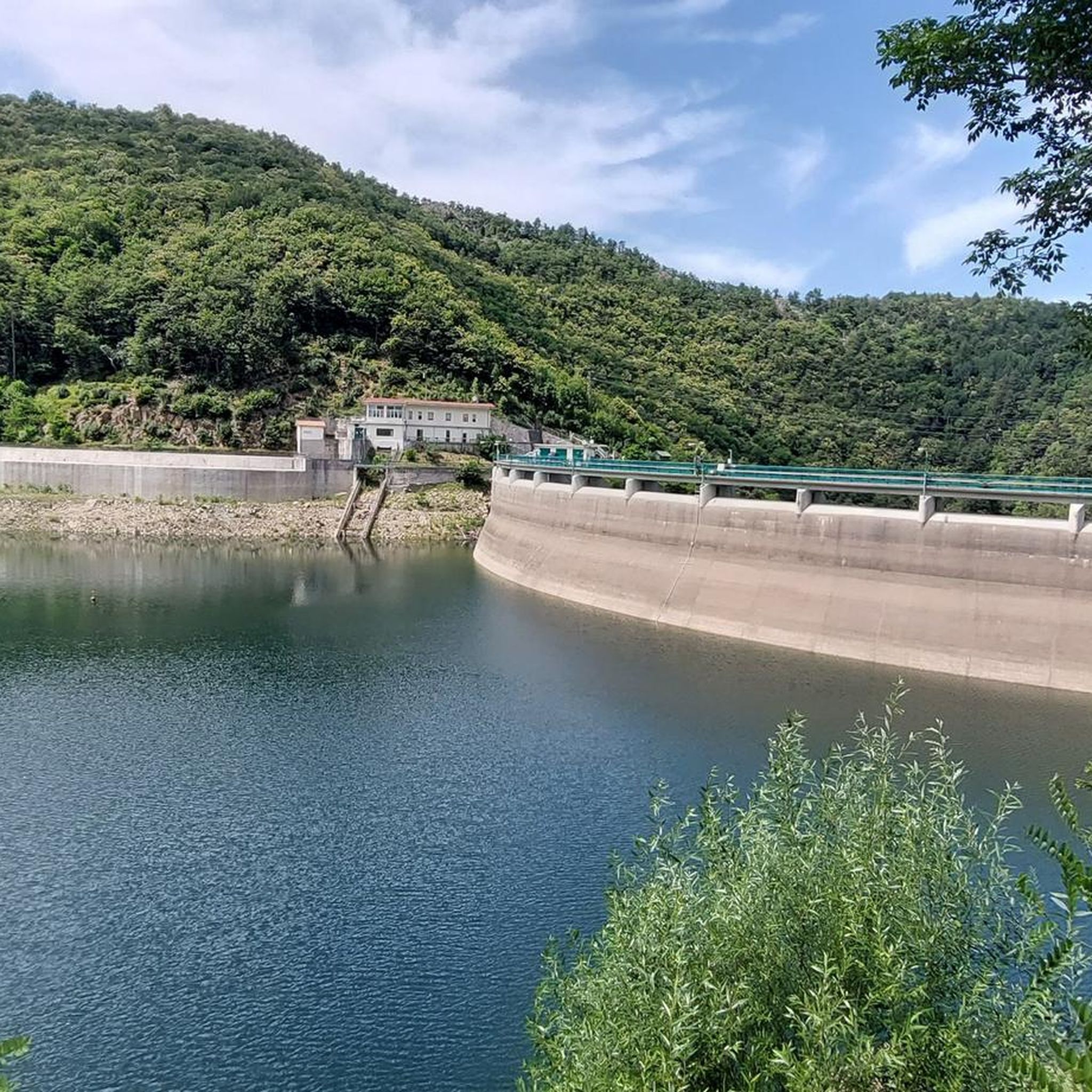
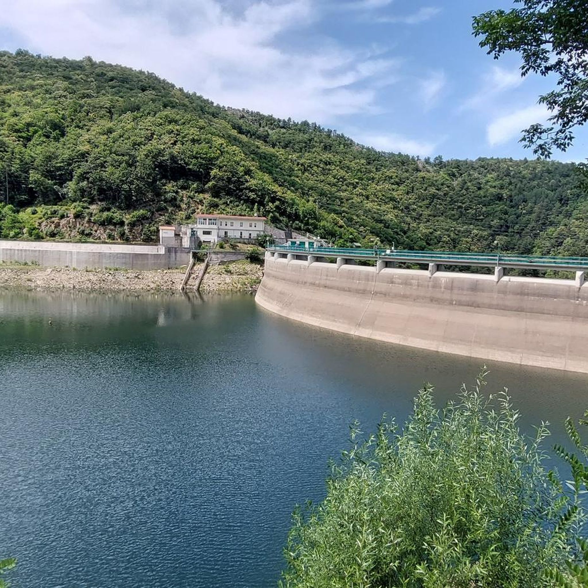
Yes, Ronco Di Maglio offers several points of interest. You might encounter remains of Napoleonic trenches around the mountain top, adding a historical element to your run. Natural highlights include the extensive beech forests, and from certain viewpoints, you can see the upper Valleys of Pállare and Osiglia, and even the sea. You can also explore highlights like Junction: Cima Ronco di Maglio or Lago di Osiglia or the RONCO DI MAGLIO forest.
What is the best season for running in Ronco Di Maglio?
The extensive beech forests in Ronco Di Maglio provide natural shade, making it pleasant for running during warmer months. However, the varied topography and potential for panoramic views suggest that spring and autumn offer comfortable temperatures and vibrant scenery. Winter running might be possible, but conditions could be more challenging due to snow or ice at higher elevations.
Are the running trails in Ronco Di Maglio well-maintained and marked?
Yes, the summit of Ronco Di Maglio and its surrounding areas are accessible via various waymarked footpaths. These paths are generally well-maintained, making them suitable for both hiking and running. The presence of specific loop trails also indicates a good network for outdoor activities.
What is the longest running route available in Ronco Di Maglio?
For those seeking a significant challenge, the Crestino Trail – St. James Pass loop from Pallare is the longest route, spanning 33.1 miles (53.3 km). This difficult trail explores the diverse landscapes of the Ligurian Prealps and typically takes over 7 hours to complete.
Are there any running routes that offer views of Lake Osiglia?
Yes, the View of Lake Osiglia loop from Osiglia is an excellent option. This easy 2.6-mile (4.2 km) path provides beautiful scenic views of Lake Osiglia and its surroundings, making it a popular choice among local runners.
What are the typical elevations encountered on running trails in Ronco Di Maglio?
Ronco Di Maglio offers a mix of terrain. While some easy routes have minimal elevation changes, more challenging trails can involve significant ascents. For instance, the Crestino Trail – St. James Pass loop from Pallare features an elevation gain of over 2,100 meters, providing a strenuous workout for experienced runners.
Most popular routes in Ronco Di Maglio
Most popular attractions in Ronco Di Maglio

Get inspired with the komoot mobile app


Explore more
Browse the best Running Trails & Routes in other regions.
