The best MTB trails in Hohe Kugel - Hoher Freschen - Mellental
4.5
(8001)
34,143
riders
587
rides
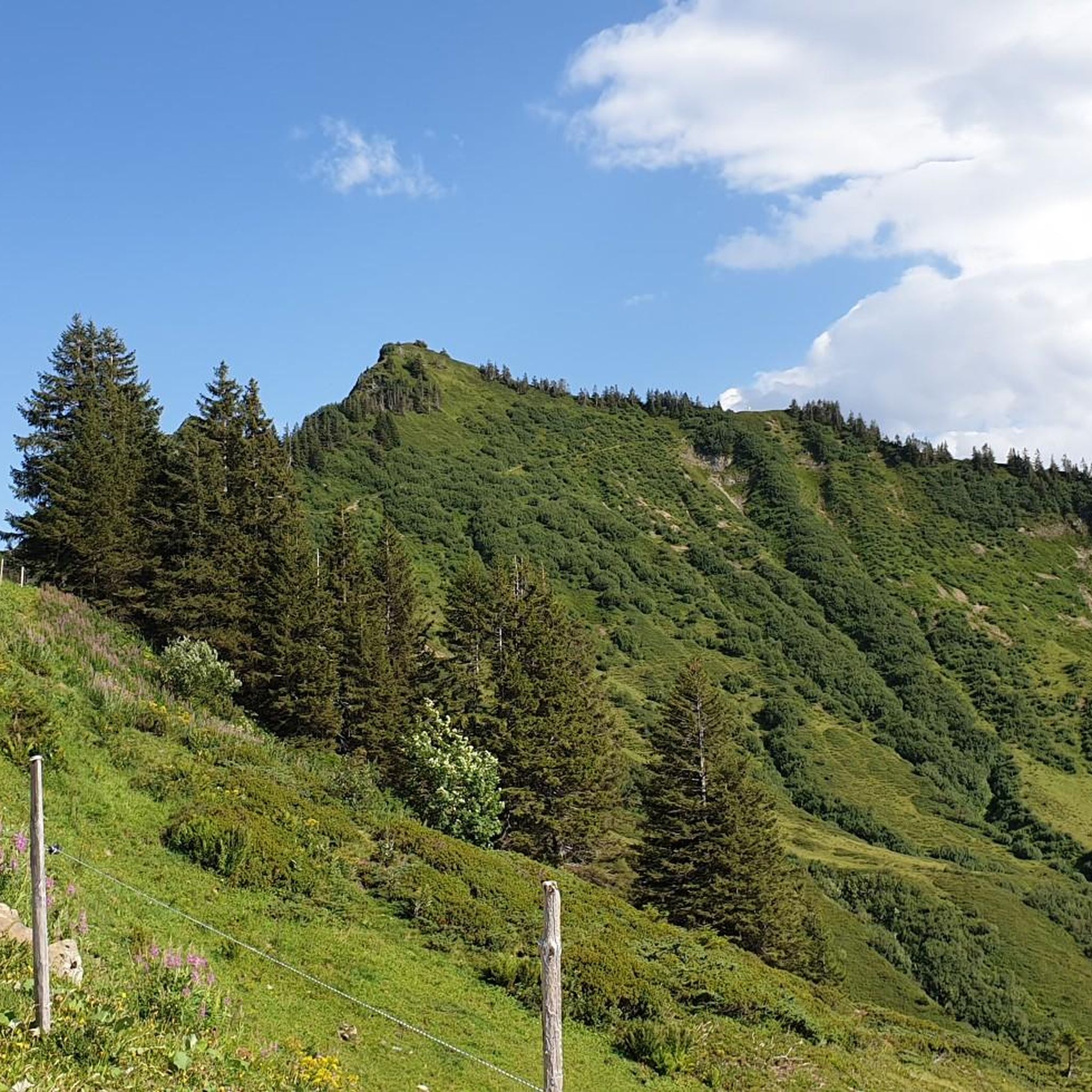
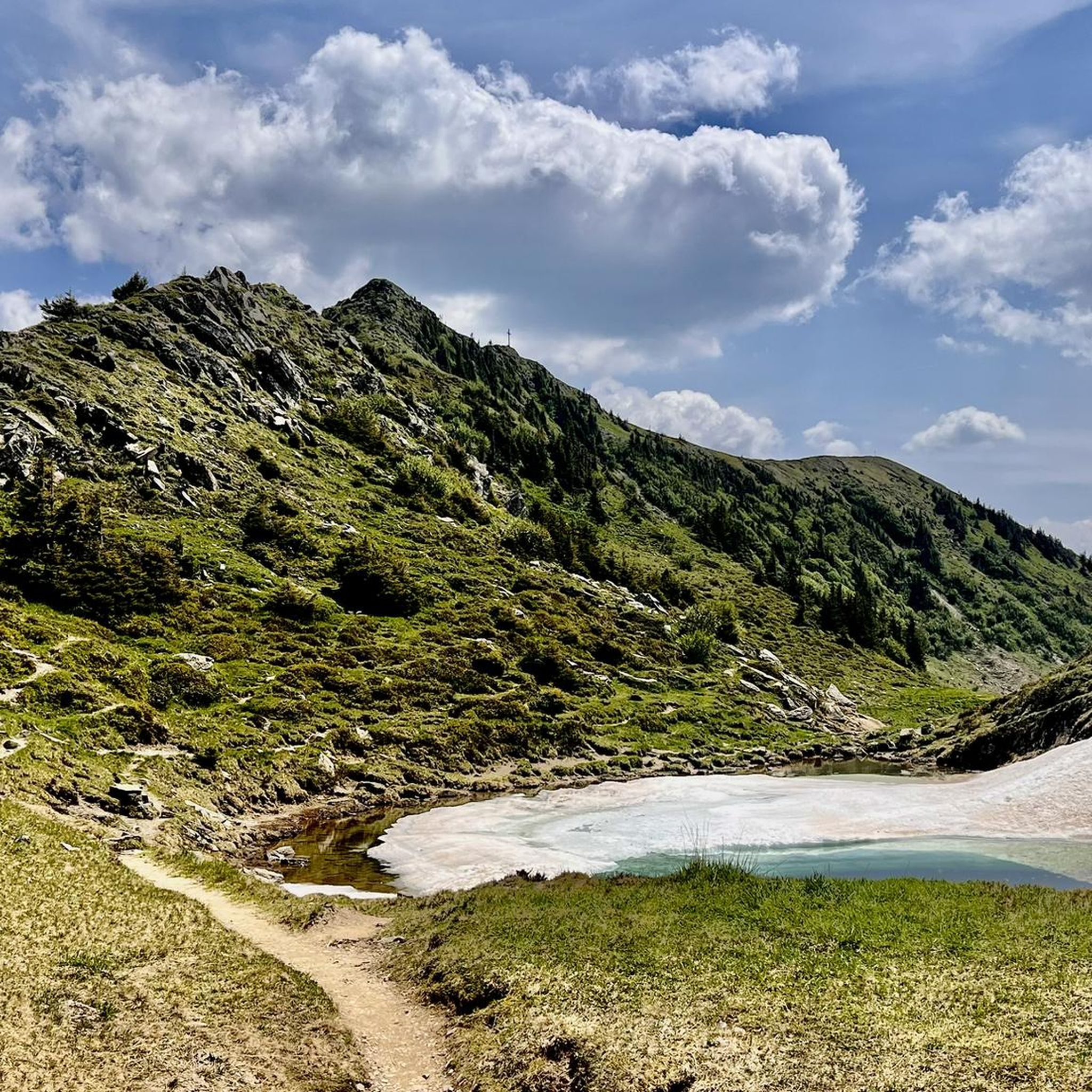
Mountain bike trails in Hohe Kugel - Hoher Freschen - Mellental traverse an alpine landscape featuring panoramic views of the Rhine Valley and Lake Constance. The region offers varied terrain, from gentle alpine meadows and forests to more rugged rock formations and steep ridges. Mellental is known for its untouched nature, clear mountain streams, and flowering meadows, forming part of Vorarlberg's largest nature reserve. Prominent peaks like Hohe Kugel and Hoher Freschen contribute to the dramatic scenery and provide challenging…
Last updated: July 17, 2026
4.8
(149)
543
riders
44.7km
04:08
1,220m
1,220m
Hard mountain bike ride. Very good fitness required. Advanced riding skills necessary.
4.3
(20)
81
riders
37.0km
03:43
1,190m
1,190m
Hard mountain bike ride. Very good fitness required. Advanced riding skills necessary.

Sign up for free
4.9
(13)
77
riders
18.3km
02:05
720m
720m
Moderate mountain bike ride. Good fitness required. Advanced riding skills necessary.
4.4
(9)
89
riders
Moderate mountain bike ride. Good fitness required. Advanced riding skills necessary.
3.7
(10)
57
riders
42.3km
02:26
270m
270m
Moderate mountain bike ride. Good fitness required. Suitable for all skill levels.
Get access to more routes and recommendations from other explorers.
Sign up for free
Already have an account?
Our route recommendations are based on thousands of hikes, rides, and runs completed by other people on komoot.
Start today with a free account
Your next adventure awaits.
Login or Signup
Popular around Hohe Kugel - Hoher Freschen - Mellental

Lake and Alps Adventure – explore 100 dreamy places in our cycling region!
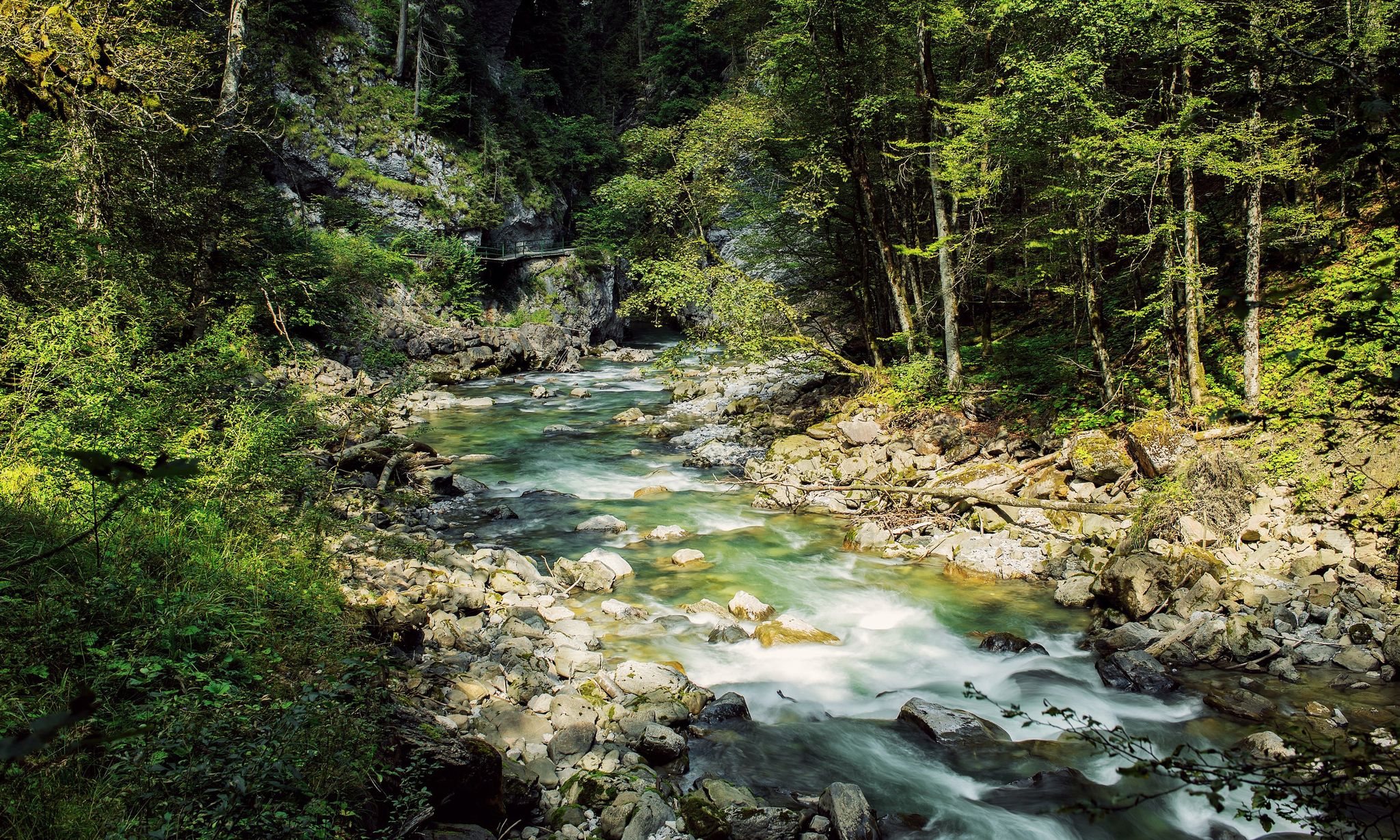
Refreshing cool downs – gorge hikes in Vorarlberg
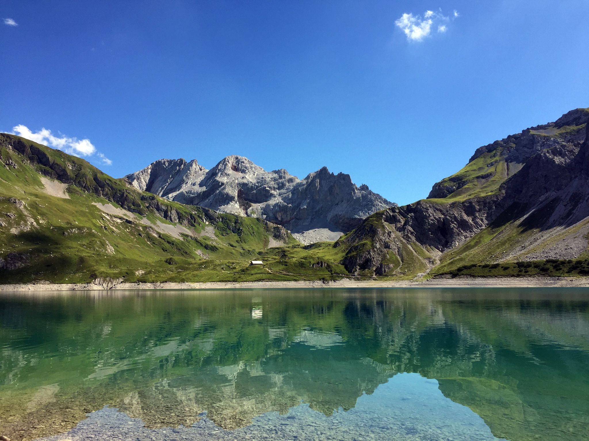
Mighty mountains and historic cities – hiking in Austria
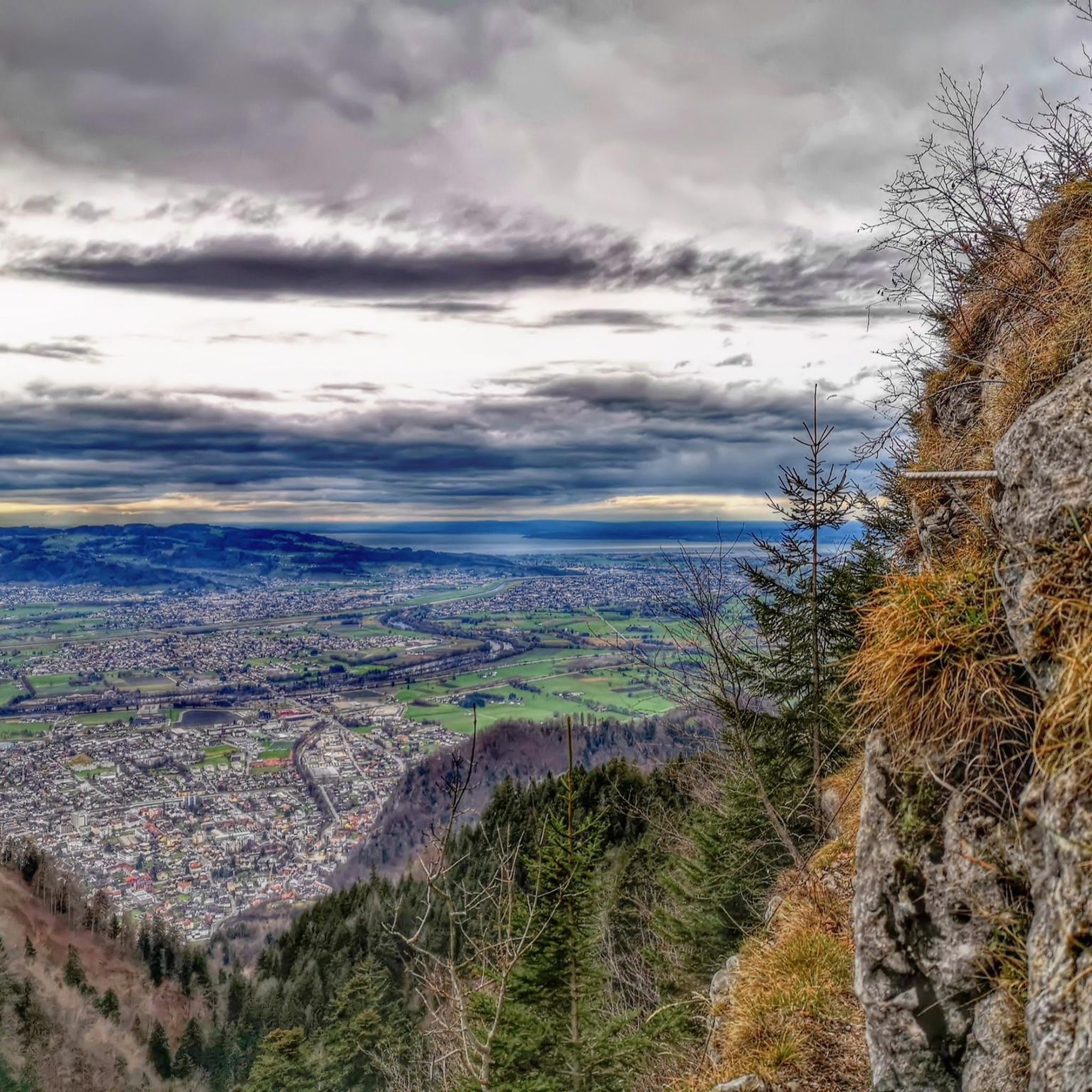
Hiking in Hohe Kugel - Hoher Freschen - Mellental
Cycling in Hohe Kugel - Hoher Freschen - Mellental
Gravel biking in Hohe Kugel - Hoher Freschen - Mellental
Road Cycling Routes in Hohe Kugel - Hoher Freschen - Mellental
Running Trails in Hohe Kugel - Hoher Freschen - Mellental

Mountain Hikes in Hohe Kugel - Hoher Freschen - Mellental
Other adventures in Hohe Kugel - Hoher Freschen - Mellental


Tips from the Community

Good place to take a break - careful, please don't disturb the anglers, to each their own hobby :-)
0
0

Schaan-Buchs Cycle and Pedestrian Bridge / Completion: 2008 A pioneering cross-border achievement / Completion: 2008 Pedestrian and cycle bridge, total length 132 m / Sidewalk width 3,500 m Pipe bridge / Pipeline bridge The steam pipeline bridge between Schaan and Buchs has been in operation for around 10 years. The energy bridge between Schaan and Buchs has been in operation for around 10 years. During this time, many businesses in the country have benefited from a CO2-neutral energy supply. The Hanno Konrad Institute was also involved as a co-initiator and designer, and we are proud that this flagship project is still attracting attention even after 10 years. Especially in times of the energy transition, such a project has played a pioneering role, and its continuous development will ensure this success story continues into the future. Text / Source: Hanno Konrad Institute, Im Rietle 13, FL-9494 Schaan https://www.konrad.li/news/eine-grenzueberschreitende-pionierleistung
14
0

Nice place to take a break
0
0

beautiful suspension bridge for pedestrians and cyclists
0
0

Brilliant! Easy to reach on foot. Watch out for bikers who often ride down the Lugtrail
0
0

It's worth enjoying the view
0
0
The canal has been beautifully renaturalized
0
0
Frequently Asked Questions
How many mountain bike trails are available in Hohe Kugel - Hoher Freschen - Mellental?
The Hohe Kugel - Hoher Freschen - Mellental region offers an extensive network of over 600 mountain bike trails. This includes a wide range of options, with approximately 120 easy, 280 moderate, and 210 difficult routes, catering to various skill levels and preferences.
What kind of terrain and views can I expect on the mountain bike trails?
You can expect highly varied terrain, from gentle alpine meadows and dense forests to more rugged rock formations and steep ridges. Many routes offer magnificent panoramic views of the Rhine Valley and Lake Constance, especially from higher elevations like the Hohe Kugel summit. The Mellental itself is known for its untouched nature, clear mountain streams, and flowering meadows.
Are there any circular mountain bike routes in the Mellental area?
Yes, the region features numerous circular routes. For example, the Start of the Lugtrail – Hoher Lug Viewpoint loop from Klaus in Vorarlberg is a moderate 11.4-mile (18.3 km) trail that takes you through varied alpine terrain. Another option is the View of the Rhine Valley – View of Illspitz loop from Klaus in Vorarlberg, a longer moderate route at 30.7 miles (49.4 km).
Are there any family-friendly mountain biking options in Hohe Kugel - Hoher Freschen - Mellental?
Yes, the region offers approximately 120 easy mountain bike routes that are suitable for families or those looking for a less strenuous ride. These trails often traverse gentler alpine meadows and forest paths, providing a pleasant experience without overly technical sections. Always check the route details on komoot for specific difficulty ratings and elevation profiles to ensure it matches your family's ability.
What are some notable viewpoints or landmarks I can see while mountain biking?
Many trails lead to stunning viewpoints. The Hohe Kugel summit (1,645 m) offers broad outlooks across neighboring countries. You might also encounter the Hoher Freschen summit cross or pass by scenic lakes like Sünser Lake and Blue Lake. These natural features contribute to the dramatic scenery of the region.
When is the best time of year for mountain biking in this region?
The best time for mountain biking in Hohe Kugel - Hoher Freschen - Mellental is typically from late spring through early autumn (May to October). During these months, the weather is generally more stable, trails are clear of snow, and alpine meadows are in full bloom. Always check local weather conditions before heading out, especially for higher elevation routes.
Are there places to stop for refreshments or food along the trails?
Yes, the region is known for its bewirtete Alpen (managed alpine huts) such as Kugelalpe and Alpe Almein. These huts offer excellent opportunities for breaks and refreshments, allowing you to sample local products like mountain cheese while enjoying the scenic surroundings. Many routes are designed to pass by these welcoming stops.
What do other mountain bikers enjoy most about the trails in Hohe Kugel - Hoher Freschen - Mellental?
The area is highly rated by the komoot community, with an average score of 4.6 stars from over 7,400 reviews. Mountain bikers frequently praise the diverse landscapes, the extensive network of trails catering to all abilities, and the breathtaking panoramic views of the Rhine Valley and Lake Constance. The well-maintained paths and the presence of alpine huts for refreshment are also often highlighted.
Are there any routes that feature lakes or water bodies?
Yes, some routes incorporate scenic lakes. For instance, the Lake Galina – Lake Nachbauer loop from Klaus in Vorarlberg is a moderate 26.3-mile (42.3 km) route that takes you past beautiful water bodies. The region also features natural highlights like Sünser Lake and Blue Lake, which can be reached via various trails.
How long are the mountain bike trails in Mellental and the surrounding areas?
Trail lengths vary significantly to suit different preferences. You can find shorter routes, such as the moderate Start of the Lugtrail – Hoher Lug Viewpoint loop from Klaus in Vorarlberg at 11.4 miles (18.3 km), which typically takes around 2 hours. Longer, more challenging routes like the difficult View of the Rhine Valley – Ober Kamor Stofel loop from Klaus in Vorarlberg extend to 23.1 miles (37.3 km) and can take over 3.5 hours to complete.
Is there public transport access to mountain biking areas, or is parking available?
While specific public transport details vary by starting point, some areas are accessible via mountain railways, such as the Mellau cable car, which transports mountain bikes up to Rossstelle (1400m). For those traveling by car, parking is generally available at common trailheads and village centers throughout the region. It's advisable to check specific route descriptions on komoot for detailed information on parking facilities near your chosen starting point.
Most popular routes in Hohe Kugel - Hoher Freschen - Mellental
Most popular attractions in Hohe Kugel - Hoher Freschen - Mellental

Get inspired with the komoot mobile app


Explore more
Browse the best MTB trails in other regions.
