The best walks and hikes in Moore Und Weiher Um Brunnen
4.5
(3816)
16,647
hikers
622
hikes
Hiking in Moore Und Weiher Um Brunnen offers diverse landscapes characterized by its unique moors and numerous ponds. The region features a network of trails that traverse these ecologically significant wetlands, alongside forested areas and river valleys. Hikers can experience both lowland and raised bogs, providing habitats for specific flora and creating picturesque settings for walks. The terrain generally includes gentle gradients around water bodies and through woodlands.
Best hiking trails in Moore Und Weiher Um Brunnen
- The most popular…
Last updated: July 4, 2026
4.0
(7)
17
hikers
3.82km
00:59
20m
20m
Easy hike. Great for any fitness level. Easily-accessible paths. Suitable for all skill levels.
5.0
(2)
10
hikers
4.74km
01:14
30m
30m
Easy hike. Great for any fitness level. Easily-accessible paths. Suitable for all skill levels.

Sign up for free
4.3
(3)
11
hikers
2.36km
00:37
20m
20m
Easy hike. Great for any fitness level. Easily-accessible paths. Suitable for all skill levels.
4.7
(201)
670
hikers
7.47km
01:58
60m
60m
Easy hike. Great for any fitness level. Easily-accessible paths. Suitable for all skill levels.
4.6
(14)
58
hikers
6.61km
01:42
40m
40m
Easy hike. Great for any fitness level. Easily-accessible paths. Suitable for all skill levels.
Get access to more routes and recommendations from other explorers.
Sign up for free
Already have an account?
Our route recommendations are based on thousands of hikes, rides, and runs completed by other people on komoot.
Start today with a free account
Your next adventure awaits.
Login or Signup
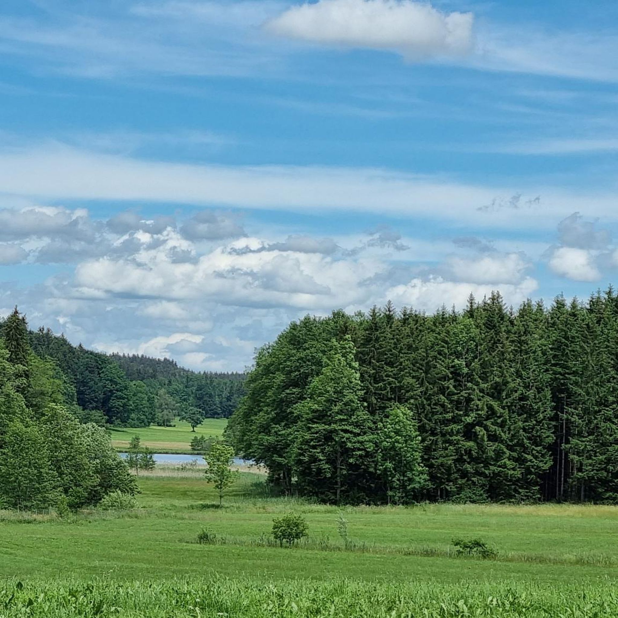
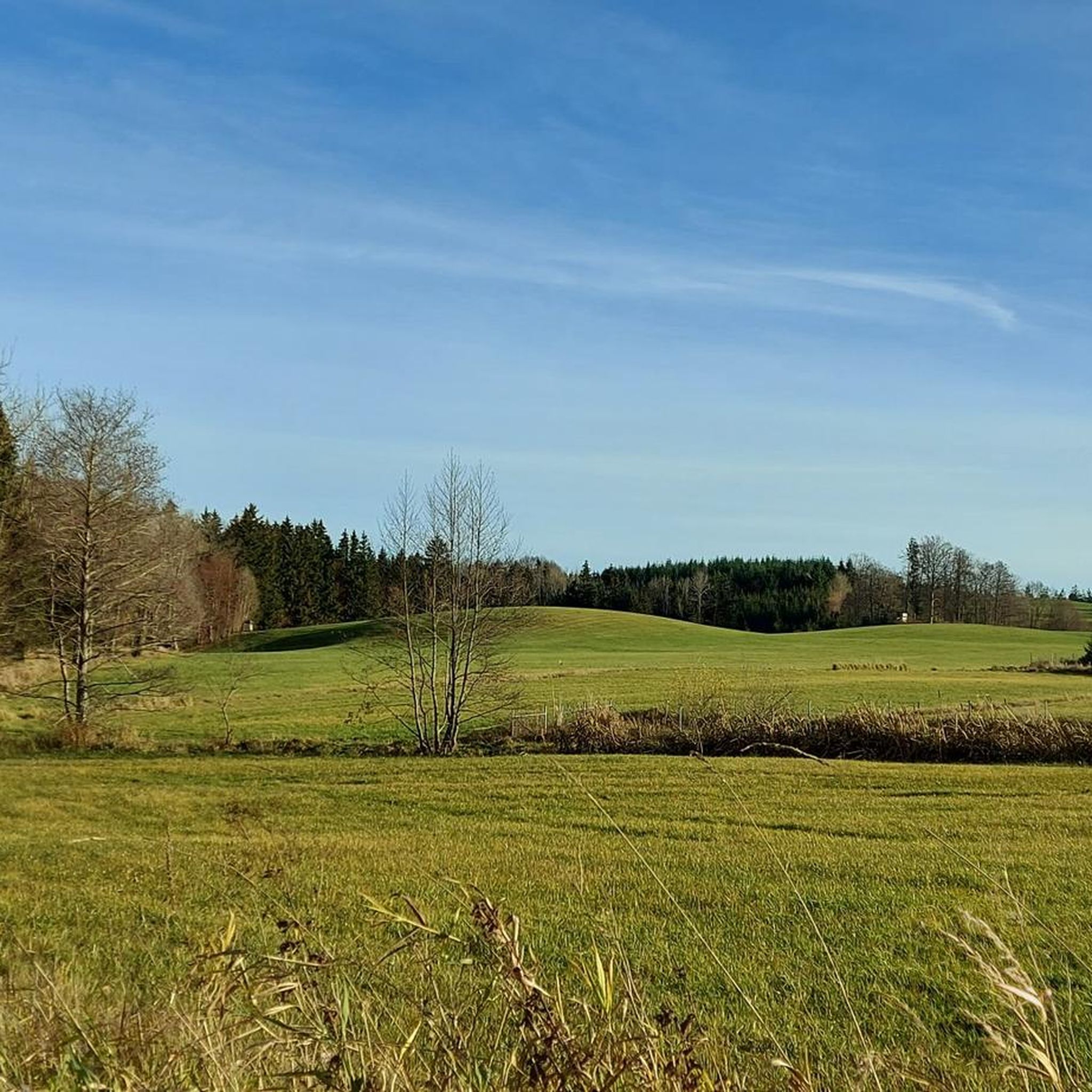
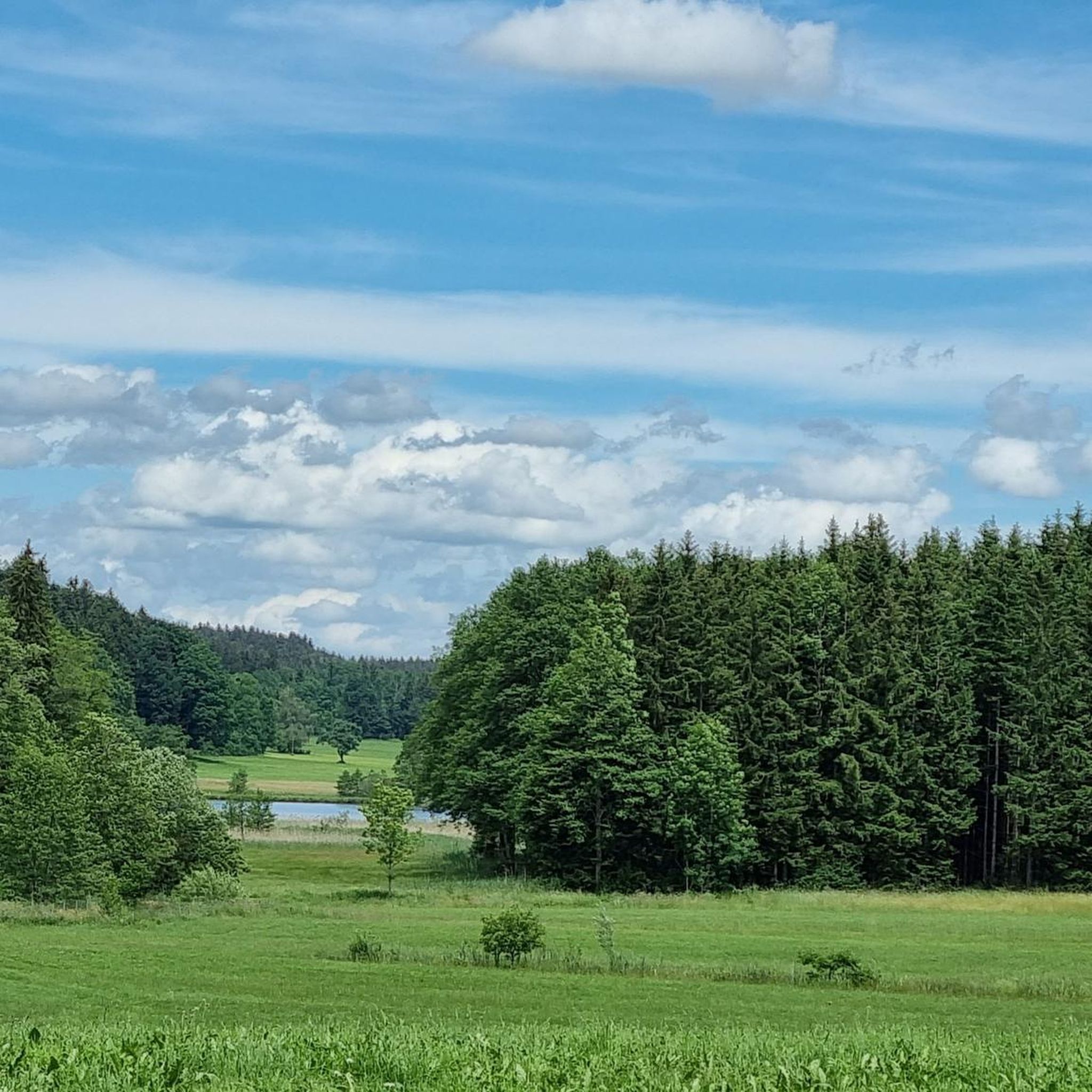

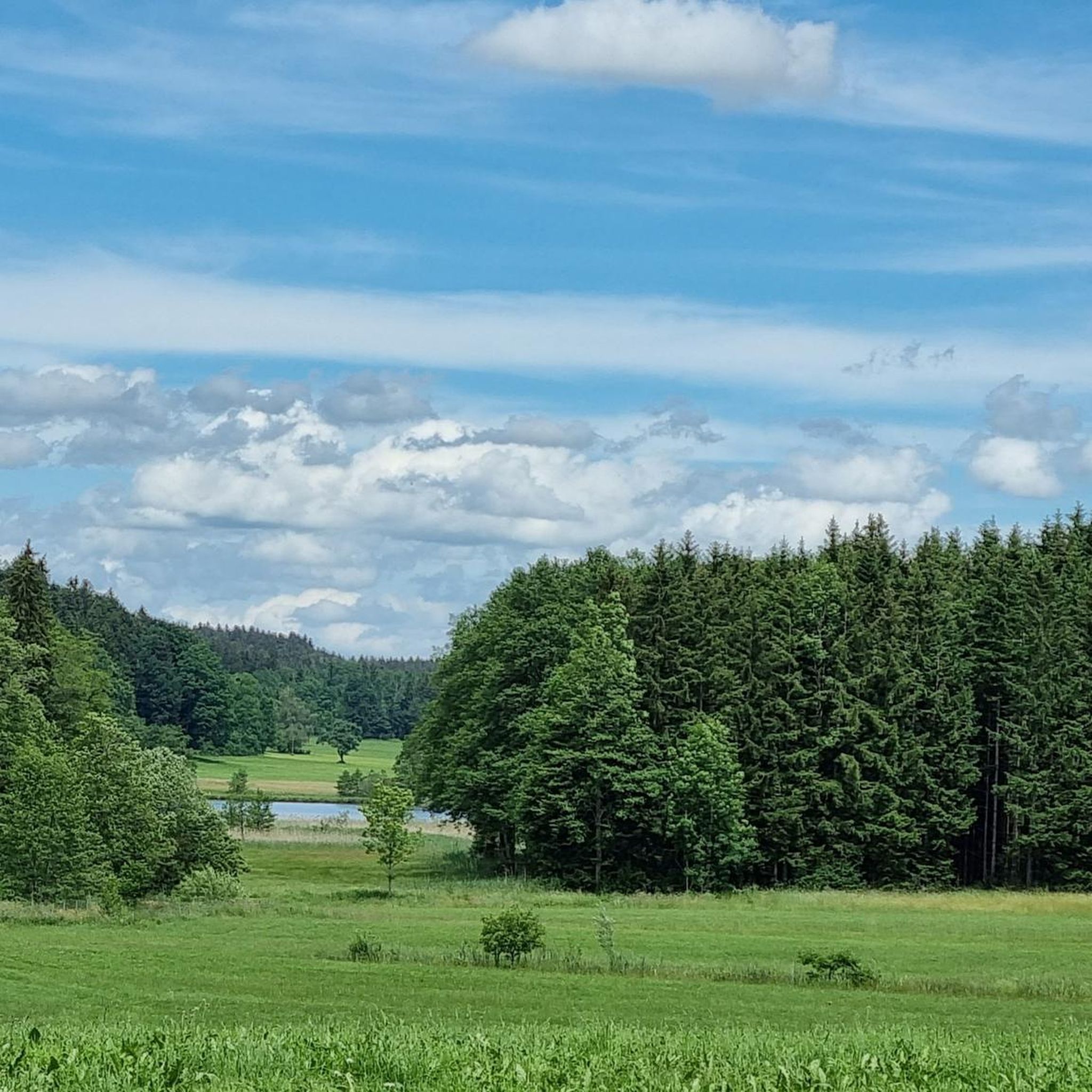
Tips from the Community

Impressively large lake with great bird diversity and a quiet shore area!
0
0

Cold drinks, ice cream, cheese and sausage directly from the Demeter farm
0
0

A wonderfully beautiful and quiet large pond where you can swim a few laps.
0
0

A pretty lake with several swimming opportunities. It is part of the Kißlegg Lake District, a group of ponds connected by moorland.
2
0

The Metzisweiler Pond near Bad Wurzach is a popular swimming lake, but currently has a swimming ban. The water quality was poor in the past, leading to a swimming ban. Nevertheless, the pond is an idyllic destination with a beautiful lawn, free parking, and other amenities. Source: Overview with AI
2
1
The water in the Stockweiher pond may have a mysteriously dark shimmer, but it is very clean. The moor lakes near Immenried have excellent water quality, which is regularly tested and is even beneficial to health. Source: https://www.oberschwaben-tourismus.de/attraktionen/naturbadesee-stockweiher-01f664853d
1
0

The lake, first mentioned in 1735, was created in the late Middle Ages by flooding a low moor area and today has a catchment area of around 69 hectares. The size of the water surface is 6.4 hectares, with an average depth of 1.7 meters and a maximum depth of 3.1 meters, resulting in a volume of around 109,000 cubic meters. The lake's main inflow is through several drainage ditches, the outflow via a Mönch to the Holzmühleweiher and from there via the Immenrieder Ach and the Obersee to the Wolfegger Ach and Schussen into Lake Constance and thus to the Rhine and ultimately into the North Sea. Source: Wikipedia
1
0
Frequently Asked Questions
How many hiking trails are available in Moore Und Weiher Um Brunnen?
Moore Und Weiher Um Brunnen offers a wide selection of hiking opportunities, with over 620 routes to explore. These trails traverse diverse landscapes, including unique moors, numerous ponds, and tranquil forested sections.
What kind of terrain can I expect on hikes in Moore Und Weiher Um Brunnen?
The terrain in Moore Und Weiher Um Brunnen is quite varied, characterized by its unique moors and numerous ponds. You'll find paths with gentle gradients around water bodies and through woodlands. While many paths are easily accessible, some routes may require sure-footedness and sturdy shoes, especially in areas with more natural, untouched bog ecosystems.
Are there easy hikes suitable for beginners or casual walkers?
Yes, the region is very accommodating for beginners and casual walkers. Over 340 of the available routes are rated as easy. These often include pleasant loops around the various ponds, offering serene views with minimal elevation gain. An example is the Hare Pond – Langwuhr Pond loop from Eintürnen, which is an easy 2.3 km path.
Can I find circular hiking routes in this region?
Circular routes are a highlight in Moore Und Weiher Um Brunnen, allowing you to experience the diverse landscapes without retracing your steps. Many trails loop around the picturesque ponds. For instance, the Hike in the Kißlegg lake district offers a scenic circular path through the area's natural beauty.
Are the trails in Moore Und Weiher Um Brunnen suitable for families with children?
Many trails in Moore Und Weiher Um Brunnen are well-suited for families. The numerous easy and moderate routes, often looping around ponds and through forests, provide engaging and accessible options for all ages. The gentle gradients and picturesque scenery make for an enjoyable outing with children.
Are dogs allowed on the hiking trails in Moore Und Weiher Um Brunnen?
Generally, dogs are welcome on the hiking trails in Moore Und Weiher Um Brunnen. However, as the region features sensitive natural areas like moors and wildlife habitats, it's always recommended to keep dogs on a leash and ensure they do not disturb the local flora and fauna. Always check local signage for specific restrictions.
What natural features or landmarks can I see while hiking?
The region is rich in natural features. You'll encounter unique moors, including both lowland and raised bogs, which are vital ecosystems. Numerous picturesque ponds are central to the area's charm, such as Holzmühle Pond and Brunner Pond. Some trails also traverse forested areas and follow river valleys, and the famous Reichenbach Falls are a notable natural attraction in the broader area.
Are there any specific viewpoints or scenic spots along the trails?
Yes, the region offers several scenic spots, particularly around its many ponds and in areas with alpine meadows. Trails often provide sweeping panoramas, especially during dawn when mist can create a mystical atmosphere over the moors. The various pond loops, such as the Brunnenweiher Lake Trail, offer beautiful waterside views.
What do other hikers enjoy the most about hiking in Moore Und Weiher Um Brunnen?
The area is highly rated by the komoot community, with an average score of 4.5 stars from over 3500 reviews. Hikers frequently praise the unique natural beauty of the moors and ponds, the tranquility of the forested sections, and the well-maintained paths that make the diverse landscapes accessible. The peaceful atmosphere and picturesque settings are often highlighted.
What is the best time of year to go hiking in Moore Und Weiher Um Brunnen?
The best time to visit Moore Und Weiher Um Brunnen for hiking is generally from spring through autumn. During these seasons, the weather is milder, and the unique flora of the moors, such as sphagnum moss and heather, is vibrant. Early mornings can be particularly atmospheric, with mist often bathing the landscapes in a serene light.
Are there cultural or historical sites integrated into the hiking routes?
While the primary focus is on natural landscapes, some hiking routes in the broader region are interwoven with cultural and historical sites. For example, the König-Ludwig-Weg follows historical footsteps, and the UNESCO World Heritage site Wieskirche is accessible via hiking paths like the 'Brettleweg'. The Swiss Path also offers segments with cultural significance and scenic views of Lake Lucerne.
What is the typical duration for hikes in Moore Und Weiher Um Brunnen?
Hikes in Moore Und Weiher Um Brunnen vary in length and duration. Many easy loops around the ponds can be completed in under two hours, such as the Hare Pond – Langwuhr Pond loop which takes about 59 minutes. Longer, more challenging routes can exceed five hours, catering to different preferences and fitness levels.
Most popular routes in Moore Und Weiher Um Brunnen
Most popular attractions in Moore Und Weiher Um Brunnen

Get inspired with the komoot mobile app


Explore more
Browse the best Hikes in other regions.
