The best walks and hikes in Gründlenried-Rötseemoos
4.5
(3716)
15,765
hikers
704
hikes
Hiking in Gründlenried-Rötseemoos offers diverse landscapes, including unique moor (Moos and Ried) environments and scenic lake views. The region features a network of trails that traverse through forests and fields, providing varied terrain for outdoor enthusiasts. Hikers can explore paths ranging from easy walks to more demanding routes, suitable for different fitness levels. Cultural points of interest, such as the Wallfahrtskirche Rötsee, are also accessible along some trails.
Best hiking trails in Gründlenried-Rötseemoos
- The most popular hiking route is Gründlenried-Rötseemoos…
Last updated: October 7, 2026
4.5
(2)
7
hikers
5.34km
01:24
40m
40m
Easy hike. Great for any fitness level. Easily-accessible paths. Suitable for all skill levels.
5
hikers
Easy hike. Great for any fitness level. Easily-accessible paths. Suitable for all skill levels.

4
hikers
5.41km
01:24
30m
30m
Easy hike. Great for any fitness level. Easily-accessible paths. Suitable for all skill levels.
4
hikers
Moderate hike. Good fitness required. Easily-accessible paths. Suitable for all skill levels.
2
hikers
Easy hike. Great for any fitness level. Easily-accessible paths. Suitable for all skill levels.
Get access to more routes and recommendations from other explorers.
Already have an account?
Our route recommendations are based on thousands of hikes, rides, and runs completed by other people on komoot.
Start today with a free account
Your next adventure awaits.
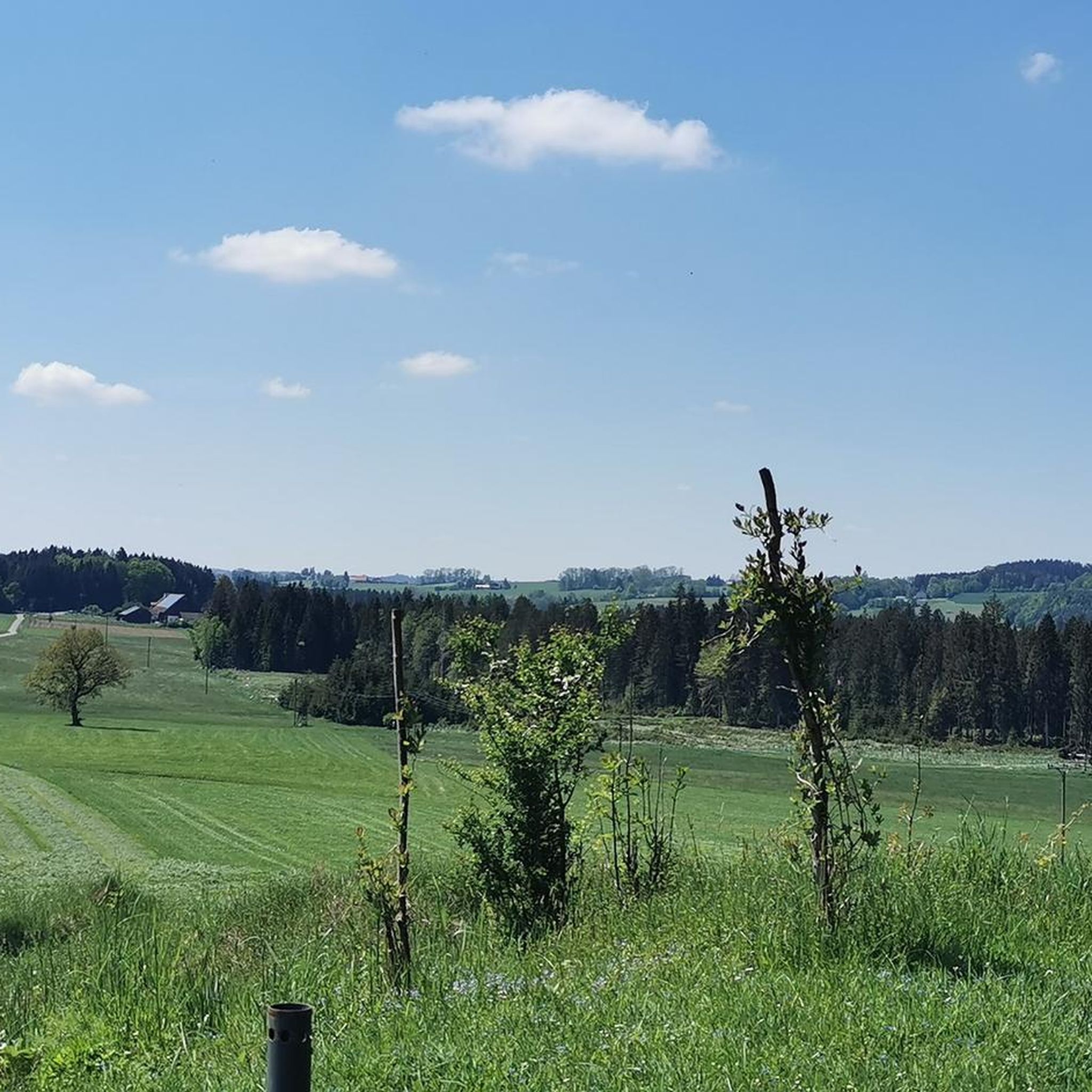
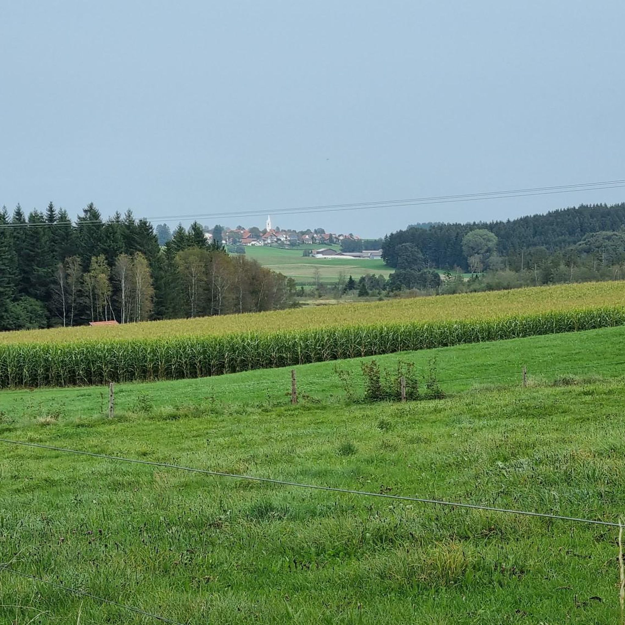
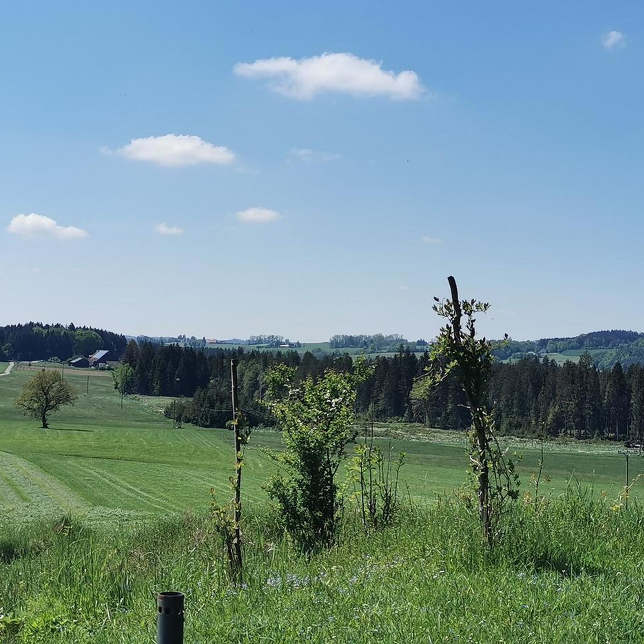

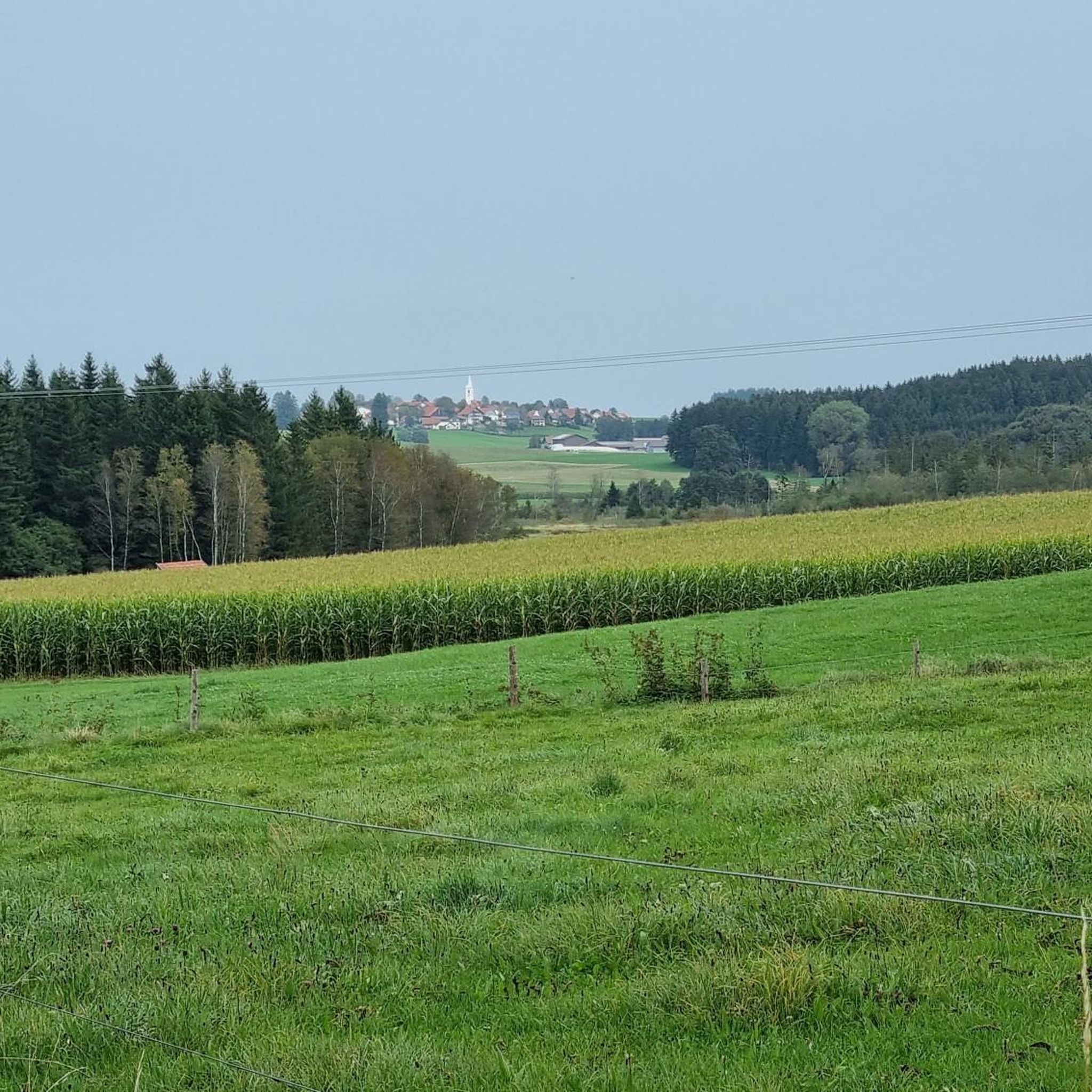
Tips from the Community

The side aisles of the original three-aisled basilica from the 11th century were lost, so that only the central nave as a nave and the recessed, three-sided choir from 1449 in the east remained. Source: https://de.m.wikipedia.org/wiki/Maria_K%C3%B6nigin_der_Engel_(R%C3%B6tsee)
0
0


The lake north of Kisslegg is in a nature reserve. The picturesque landscape with the lakes, moors and rolling hills is shaped by the Ice Age.
5
0

Bathing area between the reeds
0
0
The anteroom of the church with a statue of the Virgin Mary and a view of the interior is open during the day.
0
0

This peace linden tree was planted a hundred years earlier in 1903 to commemorate the Battle of Nations.
0
0
At 739 m, the Buschel viewpoint is the highest point in Kißlegg. Here you have a fantastic view of the Alps. From the Zugspitze to the Säntis.
0
0

Frequently Asked Questions
How many hiking trails are available in Gründlenried-Rötseemoos?
There are over 700 hiking routes in Gründlenried-Rötseemoos, catering to various preferences and fitness levels. This includes more than 400 easy trails, nearly 300 moderate options, and a selection of challenging routes for experienced hikers.
What kind of terrain can I expect on hikes in Gründlenried-Rötseemoos?
The region is characterized by its unique moor (Moos and Ried) landscape, offering a mix of tranquil wetlands, forests, and open fields. Trails often feature varied terrain, from accessible paths around lakes to more natural, unpaved sections through the moorlands.
Are there any family-friendly hiking options in Gründlenried-Rötseemoos?
Yes, Gründlenried-Rötseemoos offers many easy trails suitable for families. Routes like the Gründlenried-Rötseemoos loop from Gründlenried-Rötseemoos are gentle, with minimal elevation gain, making them perfect for a leisurely outing with children.
What are the best viewpoints or natural features to see while hiking?
Hikers can enjoy scenic views of the Obersee near Kißlegg, with routes like the Obersee (Kißlegg) – Mädelesbad at Obersee loop offering picturesque lake vistas. The unique moor landscape itself provides a distinct natural experience, and on clear days, you might even catch a glimpse of the distant Allgäu Alps.
Are there any cultural attractions or landmarks along the hiking trails?
Yes, the area combines natural beauty with cultural points of interest. You can encounter the historic Maria Queen of Angels Pilgrimage Church (Rötsee) along trails that traverse the moor landscape, offering a blend of nature and history.
What do other hikers say about the trails in Gründlenried-Rötseemoos?
The trails in Gründlenried-Rötseemoos are highly rated by the komoot community, with an average score of 4.5 stars from over 3,000 reviews. Hikers often praise the tranquil moorlands, scenic lake views, and the well-maintained paths through forests and fields.
Are there any circular hiking routes in Gründlenried-Rötseemoos?
Many of the trails in Gründlenried-Rötseemoos are designed as circular routes, allowing you to start and end at the same point. Examples include the Hiking loop from Gründlenried-Rötseemoos, which offers a straightforward walk through the natural surroundings.
What is the typical duration for hikes in this region?
Hikes in Gründlenried-Rötseemoos vary in length and duration. Many easy walks can be completed within two hours, such as the Buschel Viewpoint (Kißlegg) – Peace Linden Allgäu loop, while moderate routes like the Little Angel Wayside Shrine loop might take around 2.5 hours.
What is the best time of year to go hiking in Gründlenried-Rötseemoos?
Gründlenried-Rötseemoos is appealing for hiking throughout much of the year. Spring and autumn offer pleasant temperatures and vibrant natural colors, while summer provides longer daylight hours. Even in winter, some trails may be accessible for a peaceful, crisp walk, though conditions can vary.
Are there any challenging hikes for experienced trekkers?
While the region is known for its accessible trails, Gründlenried-Rötseemoos also features a selection of more demanding routes. These 17 difficult trails require good physical condition and sure-footedness, often involving longer distances or more varied terrain compared to the easier options.
Can I find trails that offer views of lakes or water features?
Yes, the Obersee near Kißlegg is a prominent feature, and several hiking routes provide beautiful views of its waters. The Obersee (Kißlegg) – Mädelesbad at Obersee loop is a prime example, allowing hikers to enjoy the scenic lake environment.
Most popular routes in Gründlenried-Rötseemoos
Most popular attractions in Gründlenried-Rötseemoos

Get inspired with the komoot mobile app


Explore more
Browse the best Hikes in other regions.
