The best walks and hikes in Pfrunger-Burgweiler Ried
4.6
(5386)
21,308
hikers
66
hikes
Hiking in Pfrunger-Burgweiler Ried offers access to the second-largest contiguous moorland area in Southwest Germany, characterized by extensive wetlands, forests, and grasslands. The region features diverse habitats, including remnants of raised bogs and numerous ponds, providing a unique natural landscape for exploration. Trails wind through varied terrain, from ancient forests to open meadows, with minimal elevation changes. This area is a significant ecological site, making it ideal for nature-focused walks.
Best hiking trails in Pfrunger-Burgweiler Ried
- The most popular hiking…
Last updated: July 4, 2026
4.8
(548)
1,921
hikers
10.1km
02:35
30m
30m
Moderate hike. Good fitness required. Easily-accessible paths. Suitable for all skill levels.
4.8
(547)
1,892
hikers
9.88km
02:30
20m
20m
Moderate hike. Good fitness required. Easily-accessible paths. Suitable for all skill levels.

Sign up for free
4.8
(188)
720
hikers
8.09km
02:04
30m
30m
Moderate hike. Good fitness required. Easily-accessible paths. Suitable for all skill levels.
4.8
(170)
711
hikers
6.78km
01:43
10m
10m
Easy hike. Great for any fitness level. Easily-accessible paths. Suitable for all skill levels.
4.7
(81)
246
hikers
11.4km
02:55
50m
50m
Moderate hike. Good fitness required. Easily-accessible paths. Suitable for all skill levels.
Get access to more routes and recommendations from other explorers.
Sign up for free
Already have an account?
Our route recommendations are based on thousands of hikes, rides, and runs completed by other people on komoot.
Start today with a free account
Your next adventure awaits.
Login or Signup
Popular around Pfrunger-Burgweiler Ried
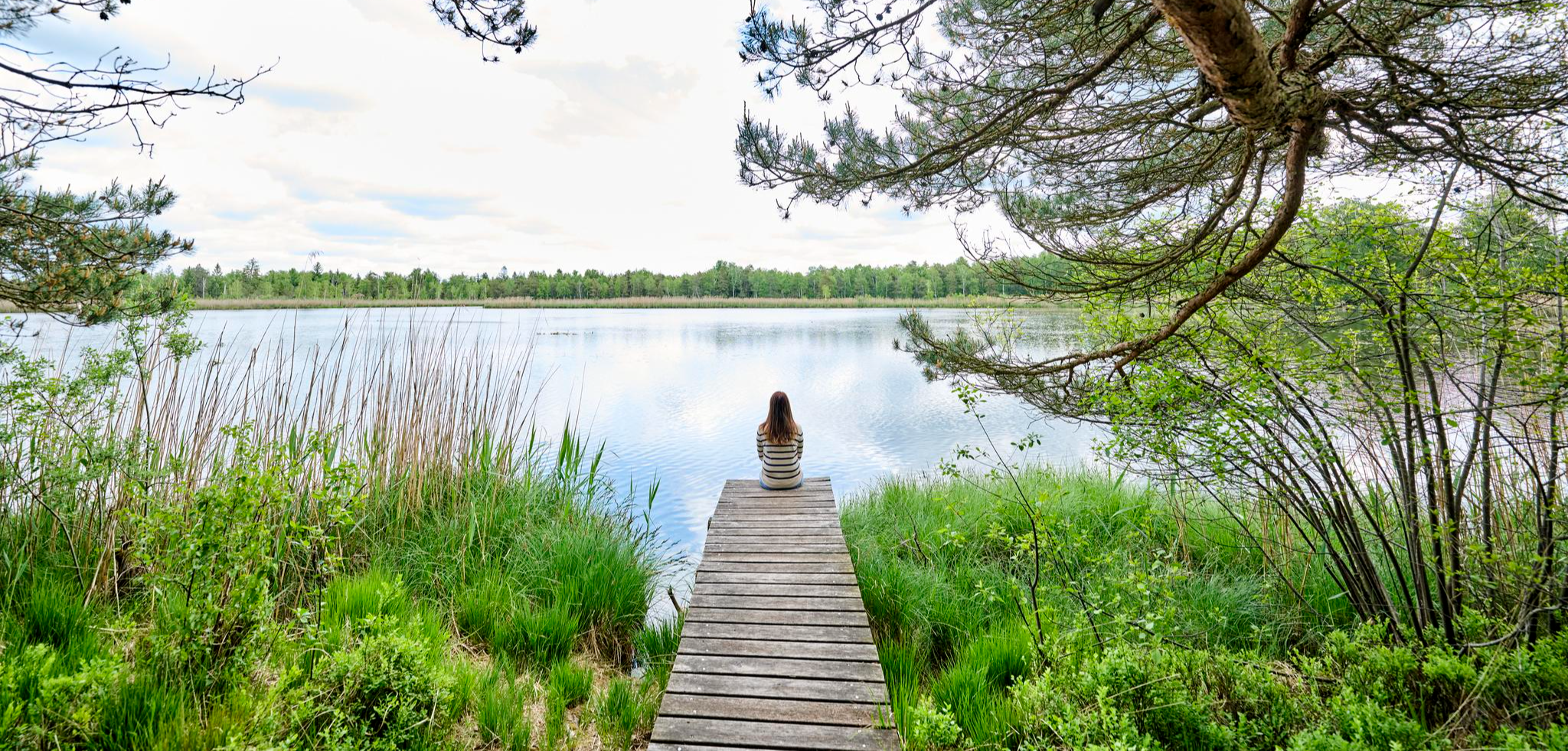
Nature, city, Baroque – short breaks in Upper Swabia-Allgäu
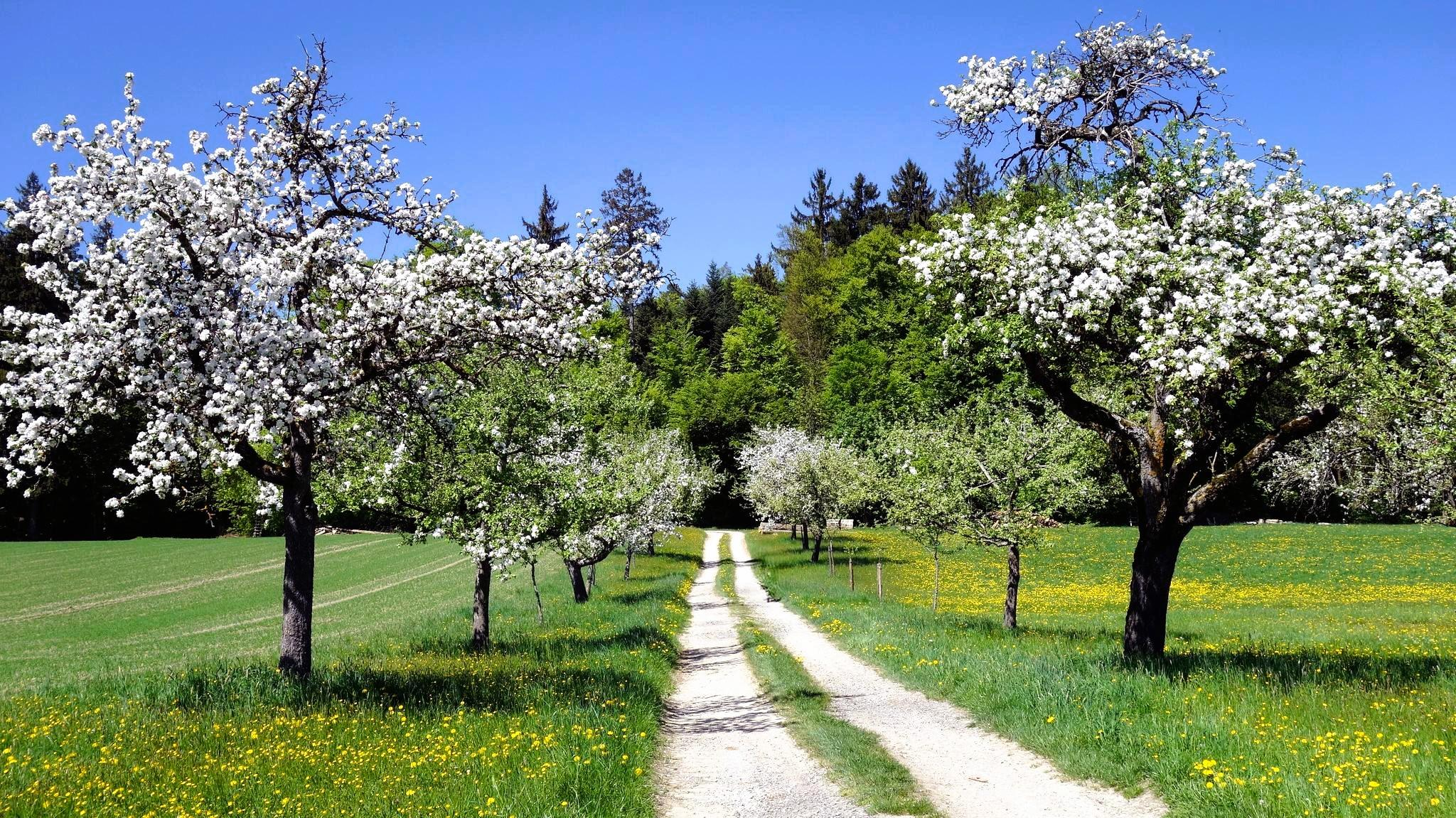
Aktiv in die längeren Tage – Frühlingswandern im Allgäu und Oberschwaben
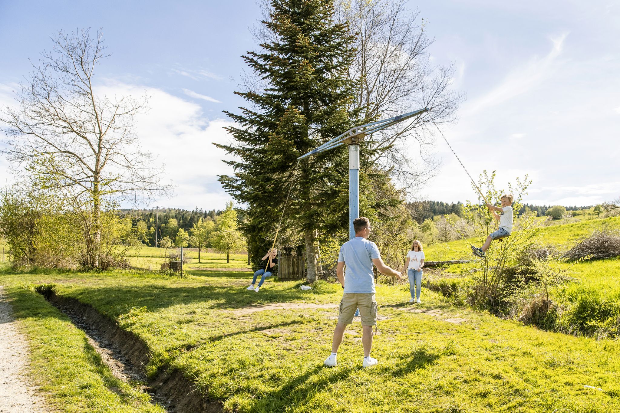
Erlebniswege für die ganze Familie – Wandern mit Kindern
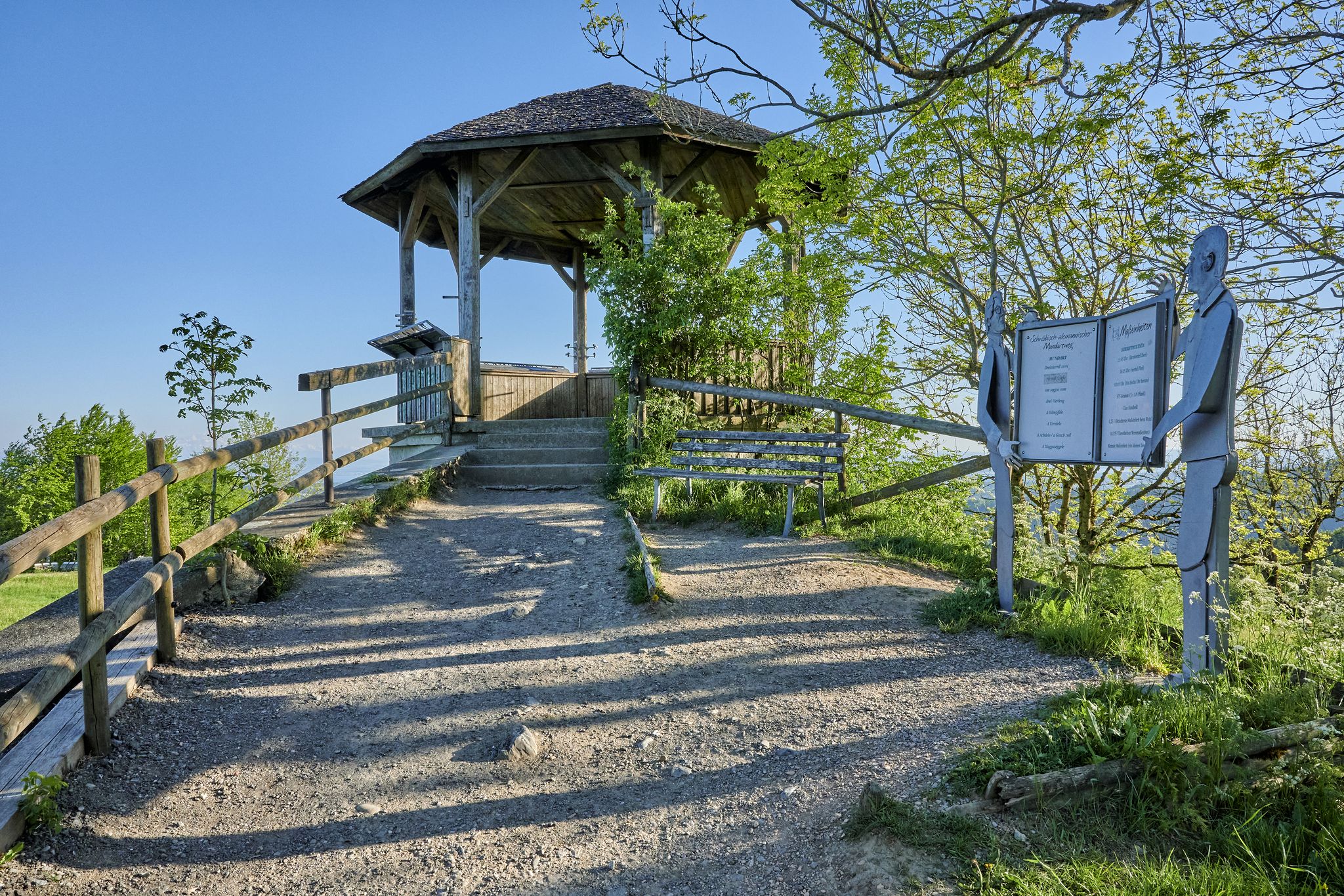
Stille Pfade, verborgene Schätze – Wandern im idyllischen Bodensee-Umland
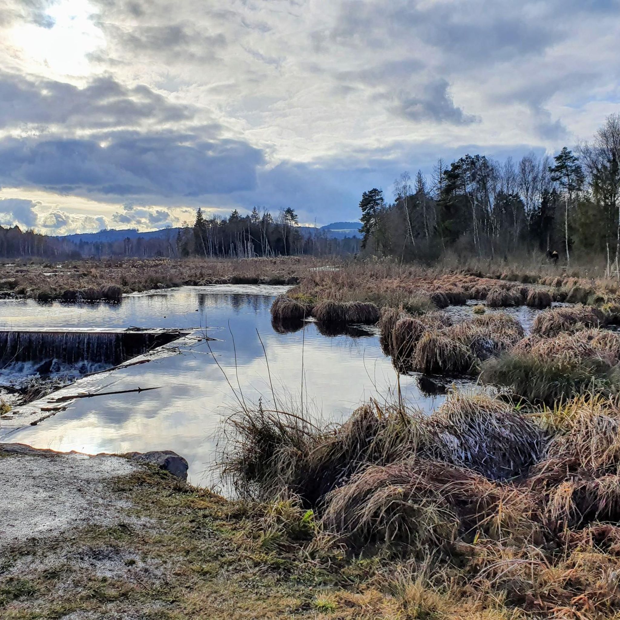
Cycling in Pfrunger-Burgweiler Ried
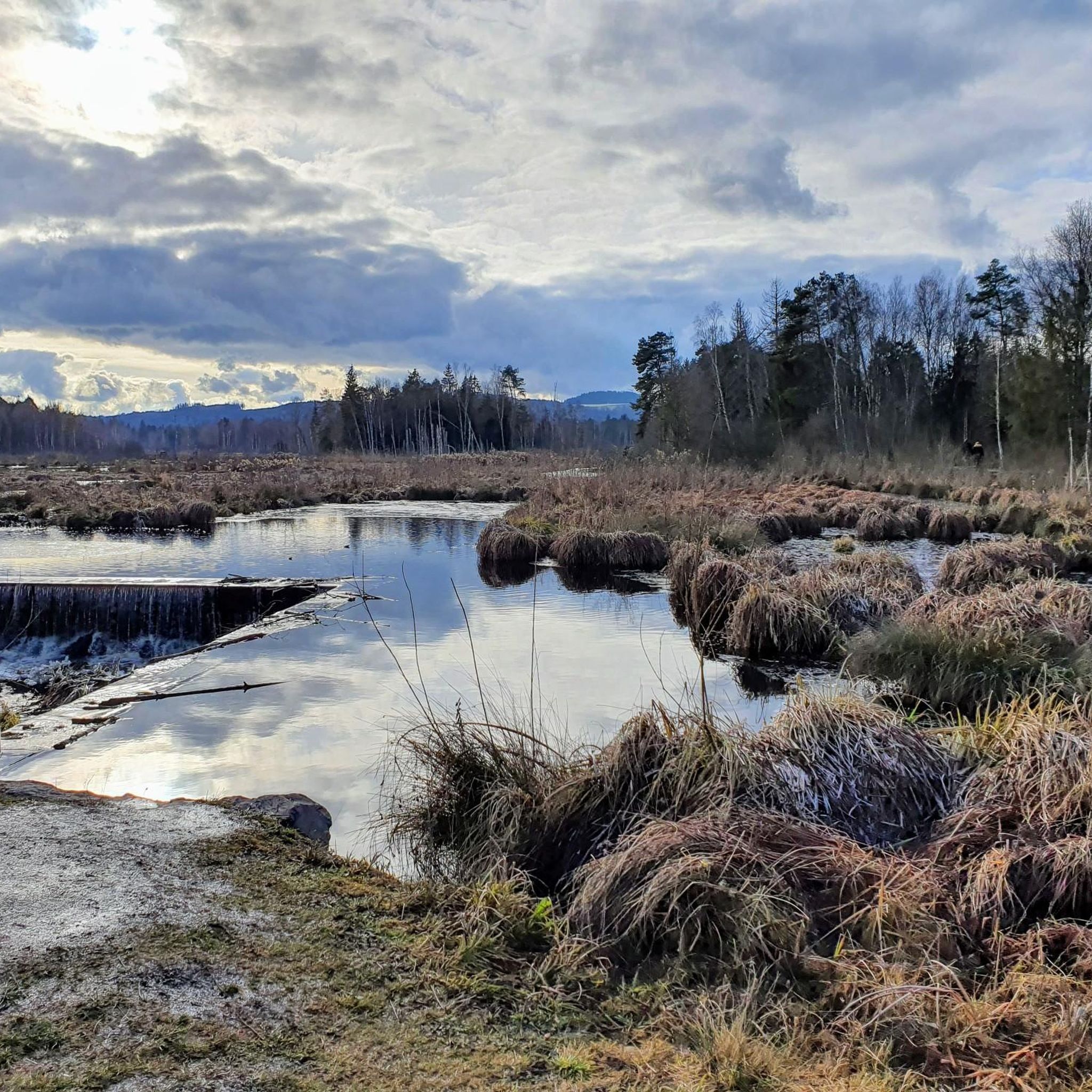
Running Trails in Pfrunger-Burgweiler Ried
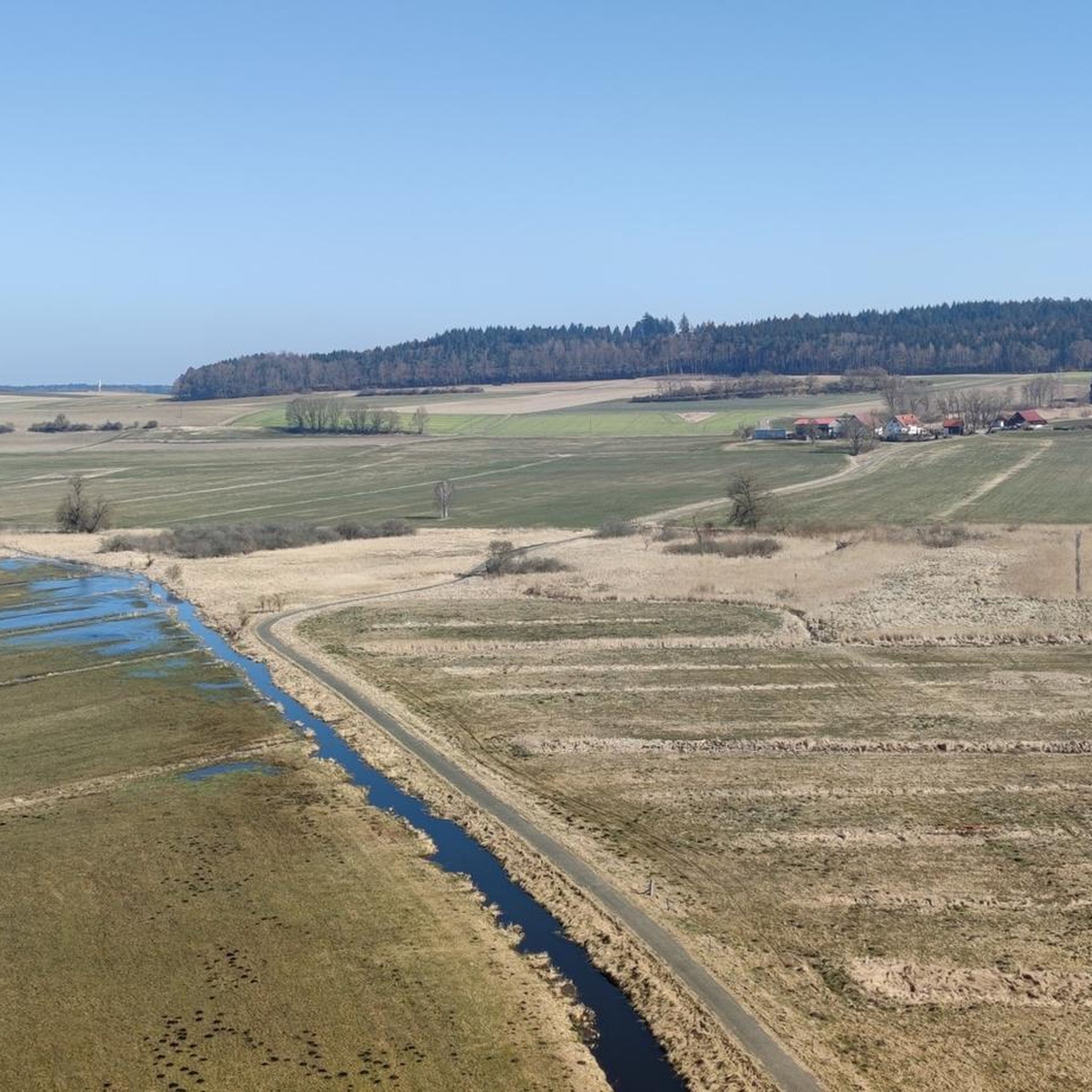
Road Cycling Routes in Pfrunger-Burgweiler Ried
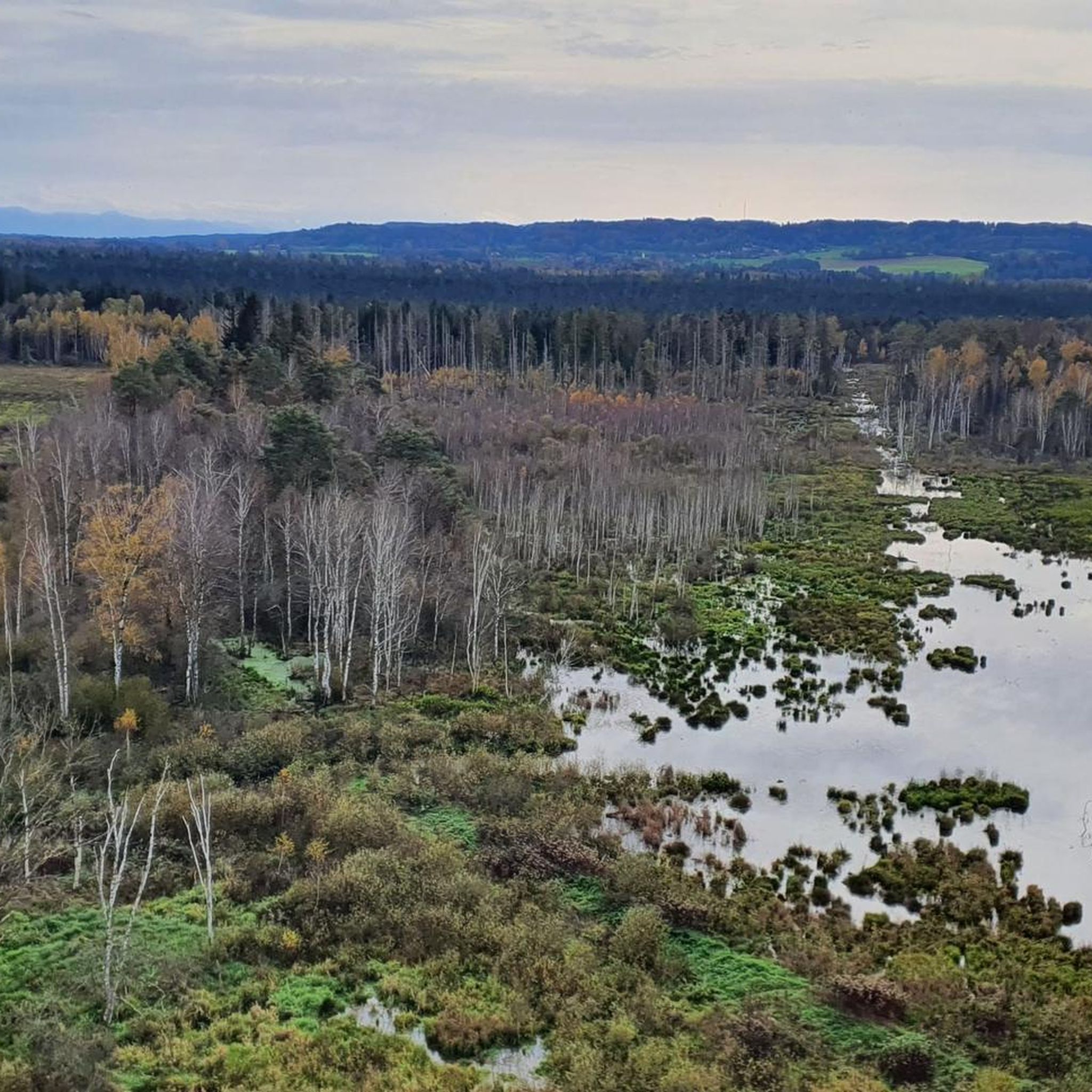
MTB Trails in Pfrunger-Burgweiler Ried
Gravel biking in Pfrunger-Burgweiler Ried
Other adventures in Pfrunger-Burgweiler Ried


Tips from the Community

Observation platform with information board - Bannwald 🌳🌲🌳 Table platform - Table forest area - Pfrunger-Burgweiler Ried / Pfrunger Ried - Ostrach - Sigmaringen district
3
0
Fünfeckweiher 🌊 - Pfrunger-Burgweiler Ried / Pfrunger Ried - Ostrach - Sigmaringen District
2
0
Information board - Protected forest 🌳🌲🌳 - Pfrunger Ried - Largest protected forest in Baden-Württemberg - 441 hectares of undisturbed forest conservation area
2
0
Beautiful wooden bridge over the Tiefenbach stream 🌊 - Pfrunger-Burgweiler Ried / Pfrunger Ried - Ostrach - Sigmaringen district
2
0
The Vogelsee, created by industrial peat extraction between 1970 and 1996, is a habitat for beavers and kingfishers. Source: https://de.wikipedia.org/wiki/Pfrunger-Burgweiler_Ried
2
0
Pfrunger-Burgweiler Ried / Pfrunger Ried - Wilhelmsdorf - Ravensburg district
1
0
Sculpture Park - Wood Carvings - Forest Clearing - Pfrunger-Burgweiler Ried / Pfrunger Ried - Wilhelmsdorf - Ravensburg District
2
0
Old dilapidated hut - Pfrunger-Burgweiler Ried / Pfrunger Ried - Wilhelmsdorf - Ravensburg district
0
0
Frequently Asked Questions
What kind of terrain can I expect when hiking in Pfrunger-Burgweiler Ried?
The Pfrunger-Burgweiler Ried is characterized by its unique moorland landscape, which formed from a glacial meltwater lake. You'll find generally flat and open terrain, with trails winding through extensive wetlands, forests, and grasslands. While the area is largely flat, some paths feature well-laid wooden plank sections, especially in sensitive moorland areas, offering comfortable access and observation points.
Are there any easy or family-friendly hiking routes in Pfrunger-Burgweiler Ried?
Yes, Pfrunger-Burgweiler Ried offers many easy and family-friendly options. Out of 66 available routes, 45 are classified as easy. The terrain is generally flat, making it suitable for all ages. A good starting point for families is the Wilhelmsdorf Nature Museum, which offers adventure trails and a playground. For a specific easy route, consider the Five-sided Pond – Bannwaldturm Parking Area loop from Laubbach, which is 4.2 miles (6.8 km) long.
What are some notable natural features or landmarks to see along the trails?
The region is rich in natural features and landmarks. You can visit the Bannwald Tower, which offers a magnificent 360-degree view of the reed bed and, on clear days, even the Alps. The Five-sided Pond is another unique natural monument. You'll also find various viewing platforms, such as the Hundsche Teiche viewing platform and the Eulenbruck Raised Bog Observation Platform, providing insights into the landscape and its wildlife.
Can I bring my dog on the hiking trails in Pfrunger-Burgweiler Ried?
Many trails in Pfrunger-Burgweiler Ried are suitable for dogs, but it's important to keep them on a leash, especially in nature reserve areas, to protect the sensitive ecosystem and wildlife. The flat terrain and varied paths make it a pleasant experience for both you and your canine companion. Always check local signage for specific restrictions.
Are there circular hiking routes available?
Yes, Pfrunger-Burgweiler Ried offers numerous circular hiking routes, perfect for exploring the area without retracing your steps. For example, the Vogelsee loop from Burgweiler is a popular moderate circular trail that takes you around the Vogelsee, showcasing the area's wetlands. Another option is the Inn at the Ried – View of Nillsee loop from Wilhelmsdorf, offering diverse views.
What is the best time of year to go hiking in Pfrunger-Burgweiler Ried?
The Pfrunger-Burgweiler Ried is beautiful year-round, but the best time for hiking is generally from spring to autumn. During these seasons, the weather is milder, and the diverse flora and fauna are most active. Spring brings blooming wildflowers, while autumn offers vibrant colors. Winter hiking is possible, but some paths might be muddy or icy, and specific facilities might have reduced hours.
What kind of wildlife can I expect to see?
Pfrunger-Burgweiler Ried is a significant ecological site, renowned for its rich biodiversity. It's home to over 200 bird species, making it an excellent spot for birdwatching. You might also encounter various amphibians, insects, and other small mammals. Keep an eye out for the Scottish Highland Cattle, which graze in certain areas like the Scottish Highland Cattle Pasture in Pfrunger-Burgweiler Ried, helping to maintain the landscape.
Are there places to eat or drink near the hiking trails?
While the guide doesn't list specific cafes or pubs, the Wilhelmsdorf Nature Museum and European Watershed serves as a superb starting point for hikes and often has facilities. Given the region's popularity, you can typically find local inns and restaurants in nearby towns like Burgweiler or Wilhelmsdorf, offering refreshments after your hike.
How long do hikes in Pfrunger-Burgweiler Ried typically take?
Hikes in Pfrunger-Burgweiler Ried vary in length and duration. You can find shorter routes, like the View of Nillsee loop from Pfrunger-Burgweiler Ried, which is 4.0 miles (6.4 km) and takes about 2 hours. Longer, moderate trails, such as the Vogelsee loop from Pfrunger-Burgweiler Ried, cover about 6.1 miles (9.8 km) and can take around 2 hours 30 minutes. There are options for quick strolls or longer explorations.
What do other hikers say about Pfrunger-Burgweiler Ried?
The Pfrunger-Burgweiler Ried is highly rated by the komoot community, with an average score of 4.7 stars from over 1,700 reviews. Hikers frequently praise the unique moorland landscape, the well-maintained wooden plank paths, and the excellent opportunities for birdwatching. Many appreciate the peaceful atmosphere and the accessibility of the trails for various fitness levels.
Is there parking available at the trailheads?
Yes, parking is generally available at various starting points for the hiking trails. For instance, the Five-sided Pond – Bannwaldturm Parking Area loop from Laubbach explicitly mentions a parking area, indicating convenient access. Look for designated parking lots near popular trailheads or attractions like the Bannwald Tower and the Wilhelmsdorf Nature Museum.
Most popular routes in Pfrunger-Burgweiler Ried
Most popular attractions in Pfrunger-Burgweiler Ried

Get inspired with the komoot mobile app


Explore more
Browse the best Hikes in other regions.
