The best walks and hikes in Oberwald-Rißnert
4.5
(11804)
55,190
hikers
43
hikes
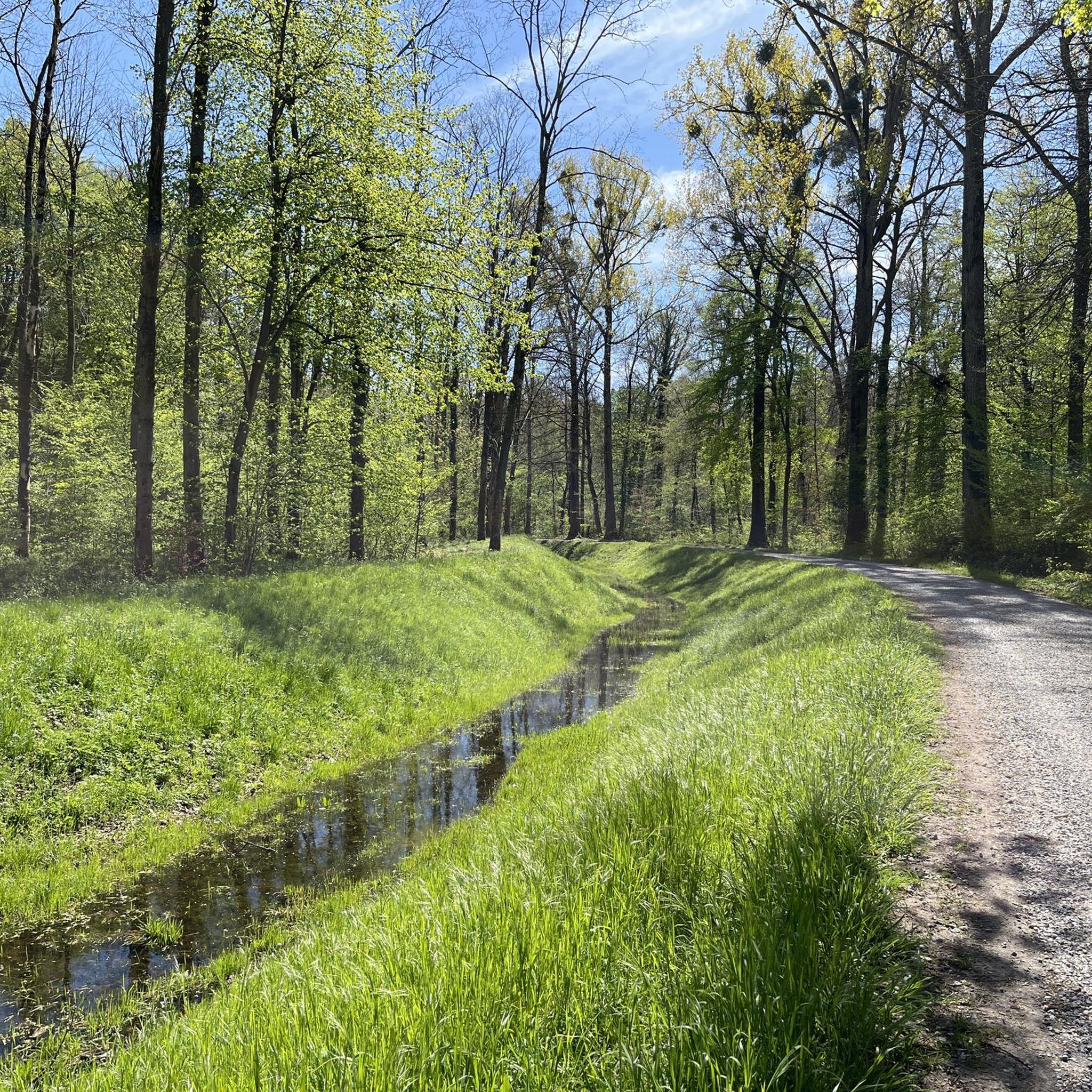
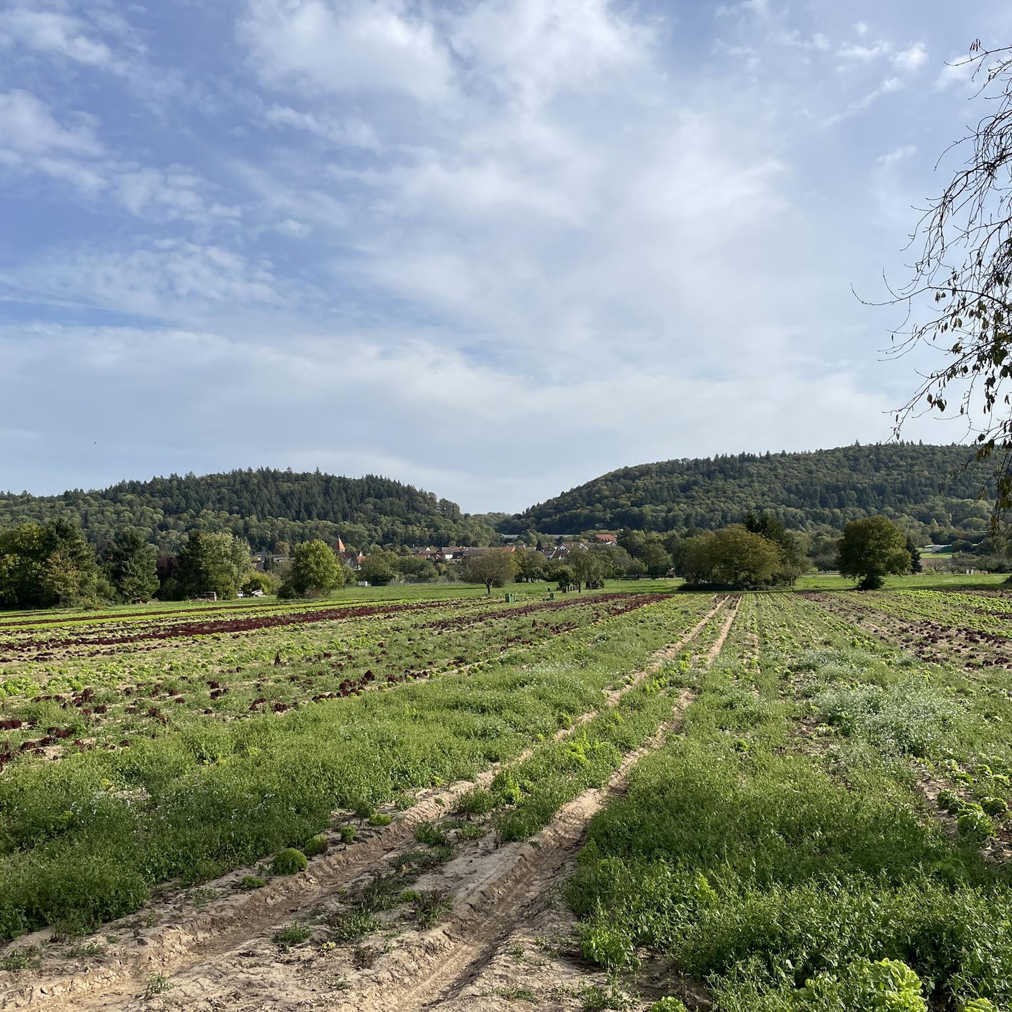
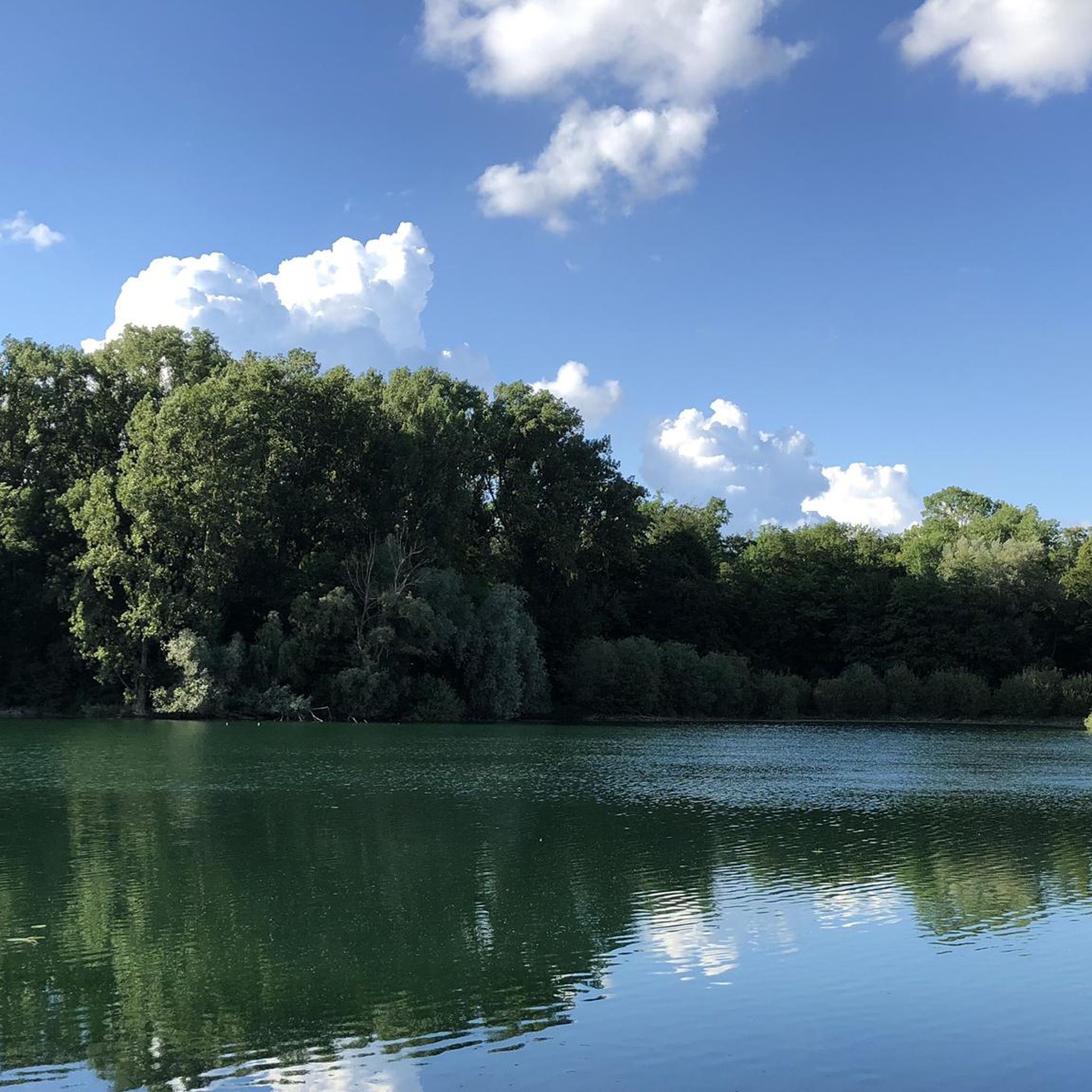
Hiking trails in Oberwald-Rißnert are situated within a natural park near Karlsruhe, Germany, characterized by extensive forest areas and protected landscapes. The region features generally flat terrain, making paths accessible for various fitness levels. Key natural features include the Erlachsee, a protected wetland biotope, and the Kinzig-Murg-Rinne, an ancient watercourse. The entire forest area is designated as a landscape protection area, preserving valuable green spaces and wildlife habitats.
Best hiking trails in Oberwald-Rißnert
- The most popular hiking route is Hollow…
Last updated: July 8, 2026
4.3
(20)
72
hikers
7.58km
02:10
180m
180m
Moderate hike. Good fitness required. Easily-accessible paths. Suitable for all skill levels.
4.9
(11)
62
hikers
Easy hike. Great for any fitness level. Easily-accessible paths. Suitable for all skill levels.

Sign up for free
4.6
(12)
78
hikers
Easy hike. Great for any fitness level. Easily-accessible paths. Suitable for all skill levels.
4.7
(19)
54
hikers
Easy hike. Great for any fitness level. Easily-accessible paths. Suitable for all skill levels.
3.6
(5)
23
hikers
11.3km
03:22
320m
320m
Moderate hike. Good fitness required. Mostly accessible paths. Sure-footedness required.
Get access to more routes and recommendations from other explorers.
Sign up for free
Already have an account?
Our route recommendations are based on thousands of hikes, rides, and runs completed by other people on komoot.
Start today with a free account
Your next adventure awaits.
Login or Signup
Tips from the Community

A small gorge directly on the outskirts of Grünwettersbach, through which a natural, gently rising path leads.
6
0
Historic fountain, beautifully encased in stone, with the year 1892 inscribed on the trough. Unfortunately, it does not provide drinking water, as indicated on the water feature.
6
1
The 114.70 m high telecommunications tower was erected in 1968 in what is now the Karlsruhe district of Grünwettersbach. Besides private microwave links, the transmitter is also used to broadcast FM and DAB signals for the city of Karlsruhe and the surrounding area.
7
0
The Grünwettersbach forest playground offers some seating for a short rest and is located directly next to the telecommunications tower.
8
0
The WaldWelt forest nature trail is located in the forest between the high-altitude district of Hohenwettersbach and the Geigersberg hill in the Durlach district. Along the 4.9 km long trail, mascot Diane Dachs awaits hikers and explains interesting facts about the forest habitat in child-friendly language at 17 stations.
6
0
Short forest passage that was left to its own devices after Hurricane Lothar in 1999 to demonstrate how the forest regenerates itself after massive damage.
6
0
Station 3 of the WaldWelt forest nature trail with information about the birds that can be heard in the forest.
5
0
Station 6 of the WaldWelt forest nature trail with information on badger burrows and their habits.
6
0
Frequently Asked Questions
How many hiking trails are available in Oberwald-Rißnert?
Oberwald-Rißnert offers a network of over 40 hiking trails. The majority, more than 30, are considered easy, while about 7 routes are moderate, providing options for various fitness levels.
Are there easy hikes suitable for beginners or families in Oberwald-Rißnert?
Yes, Oberwald-Rißnert is very suitable for beginners and families. Many trails are easy, featuring gentle elevation changes. A great option is the Bison trail in Oberwald animal park, which is an easy 4.0-mile (6.4 km) path offering opportunities to observe wildlife. The area also features attractions like the Monkey place, wooden sculptures and playground, making it engaging for children.
What are the typical lengths of hiking trails in Oberwald-Rißnert?
The trails in Oberwald-Rißnert vary in length, with many popular routes ranging from 2.5 miles (4 km) to 7 miles (11 km). For example, the Oberwald Animal Park – Bison trail loop is about 2.7 miles (4.3 km), while the Hollow Way at Tiefentalgraben – Lothar Trail loop is around 4.7 miles (7.6 km).
Are there any challenging hikes in Oberwald-Rißnert?
While Oberwald-Rißnert is known for its generally gentle terrain, there are several moderate routes for those seeking a bit more challenge. One such option is the View from Gockelsweg – Kreuzenacker Gorge loop from Durlach, which is a longer 6.9-mile (11.1 km) trail with more significant elevation changes.
Can I bring my dog on the hiking trails in Oberwald-Rißnert?
Yes, dogs are generally welcome on the hiking trails in Oberwald-Rißnert. As it's a natural park area, it's recommended to keep your dog on a leash to protect wildlife and ensure a pleasant experience for all visitors.
Are there circular hiking routes available?
Many of the trails in Oberwald-Rißnert are designed as circular routes, allowing you to start and end at the same point without retracing your steps. Examples include the Oberwaldsee – Oberwald Animal Park loop and the Hollow Way at Tiefentalgraben – Lothar Trail loop.
What interesting sights or viewpoints can I find along the trails?
Oberwald-Rißnert offers diverse sights. You can explore the Oberwald Wildlife Park with its various animal enclosures, including the European Elk Enclosure. The Erlachsee birdwatching hut and the Erlachsee Nature Reserve provide opportunities for nature observation. There's also the Shunting yard monument sculpture for a unique landmark.
What kind of wildlife can I expect to see in Oberwald-Rißnert?
Given the presence of the Oberwald Animal Park, you can observe various animals in their enclosures, such as bison and European elk. Beyond the park, the mixed woodlands and open spaces of Oberwald-Rißnert are home to typical forest wildlife, including various bird species, deer, and smaller mammals, especially around areas like the Erlachsee Nature Reserve.
Where can I park when visiting Oberwald-Rißnert for a hike?
There are several designated parking areas around Oberwald-Rißnert, particularly near the main entrances to the Oberwald Animal Park and other popular starting points. Specific parking information can often be found on local signage or by checking the starting points of individual routes on komoot.
How can I reach Oberwald-Rißnert using public transport?
Oberwald-Rißnert is accessible via public transport, especially from Karlsruhe. Some routes, like the Bison trail in Oberwald animal park, start conveniently from Karlsruhe Hauptbahnhof, making it easy to reach by train or bus. Check local transport schedules for the best connections to the area.
What do other hikers enjoy most about hiking in Oberwald-Rißnert?
The area is highly rated by the komoot community, with an average score of 4.2 stars from over 200 reviews. Hikers often praise the diverse landscape, which includes peaceful forest paths, lakeside walks, and the unique experience of trails through the animal park. The well-maintained paths and accessibility for various skill levels are also frequently highlighted.
Most popular routes in Oberwald-Rißnert
Most popular attractions in Oberwald-Rißnert

Get inspired with the komoot mobile app


Explore more
Browse the best Hikes in other regions.
