The best road cycling routes in Rheinauewald Diersheim
4.5
(291)
4,206
riders
142
rides
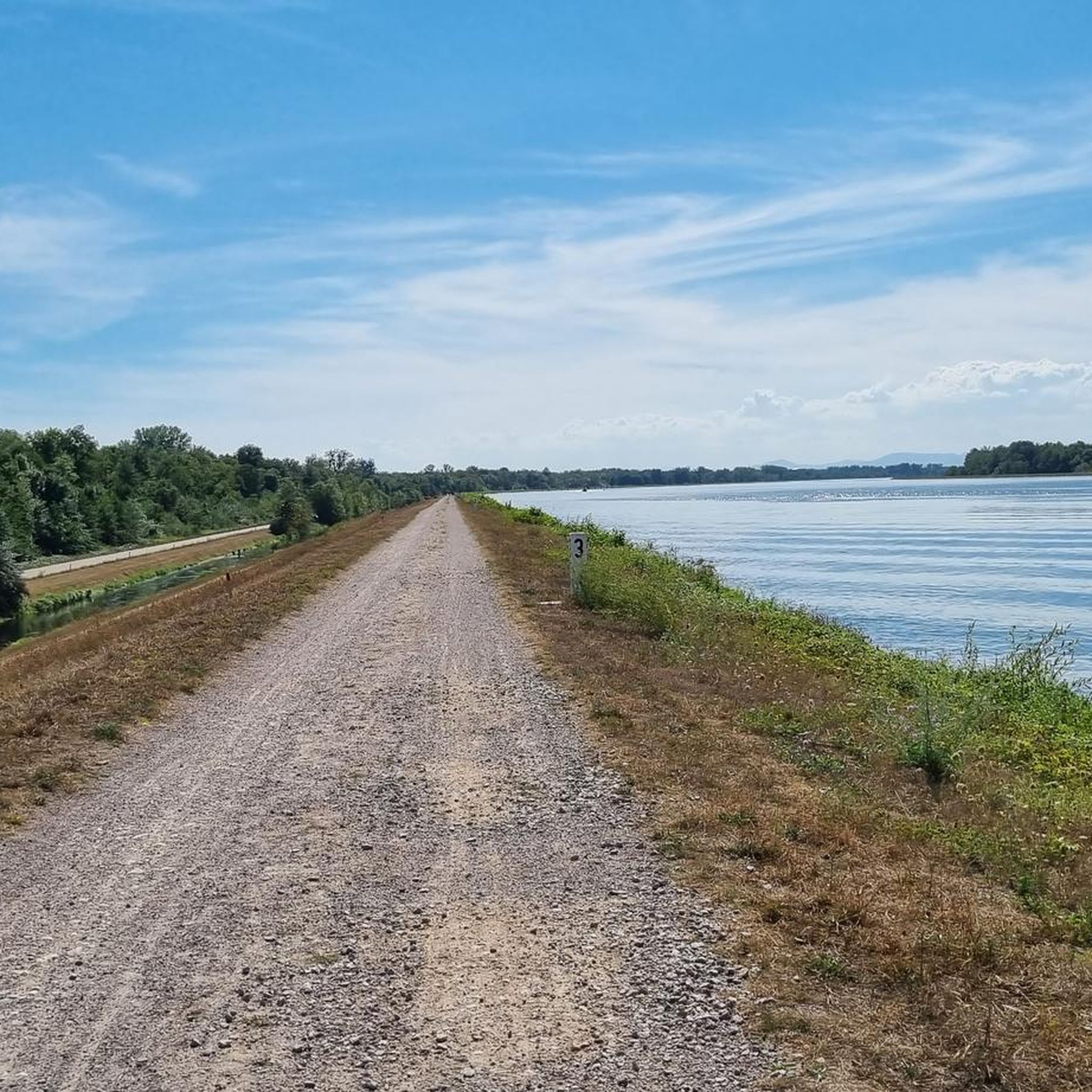
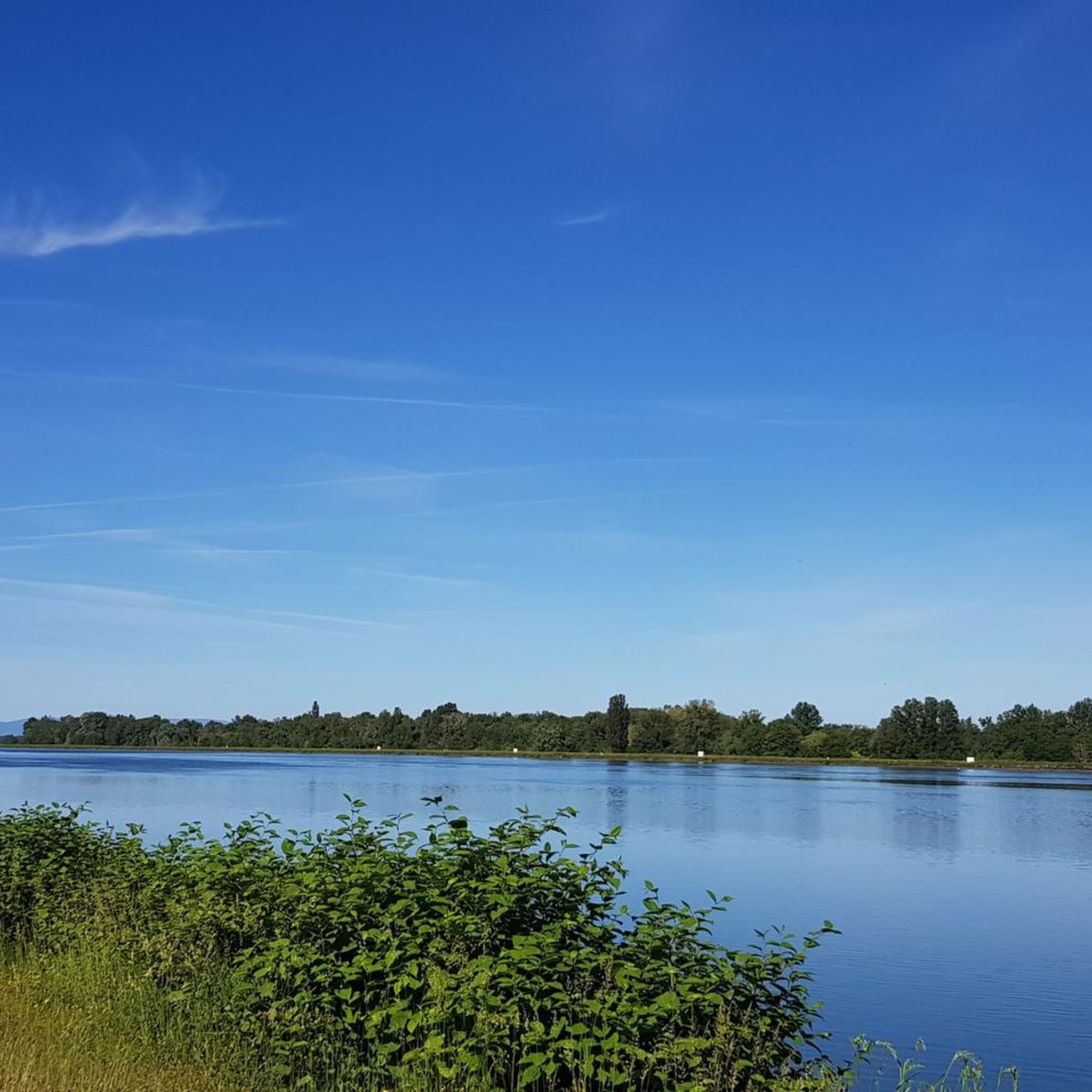
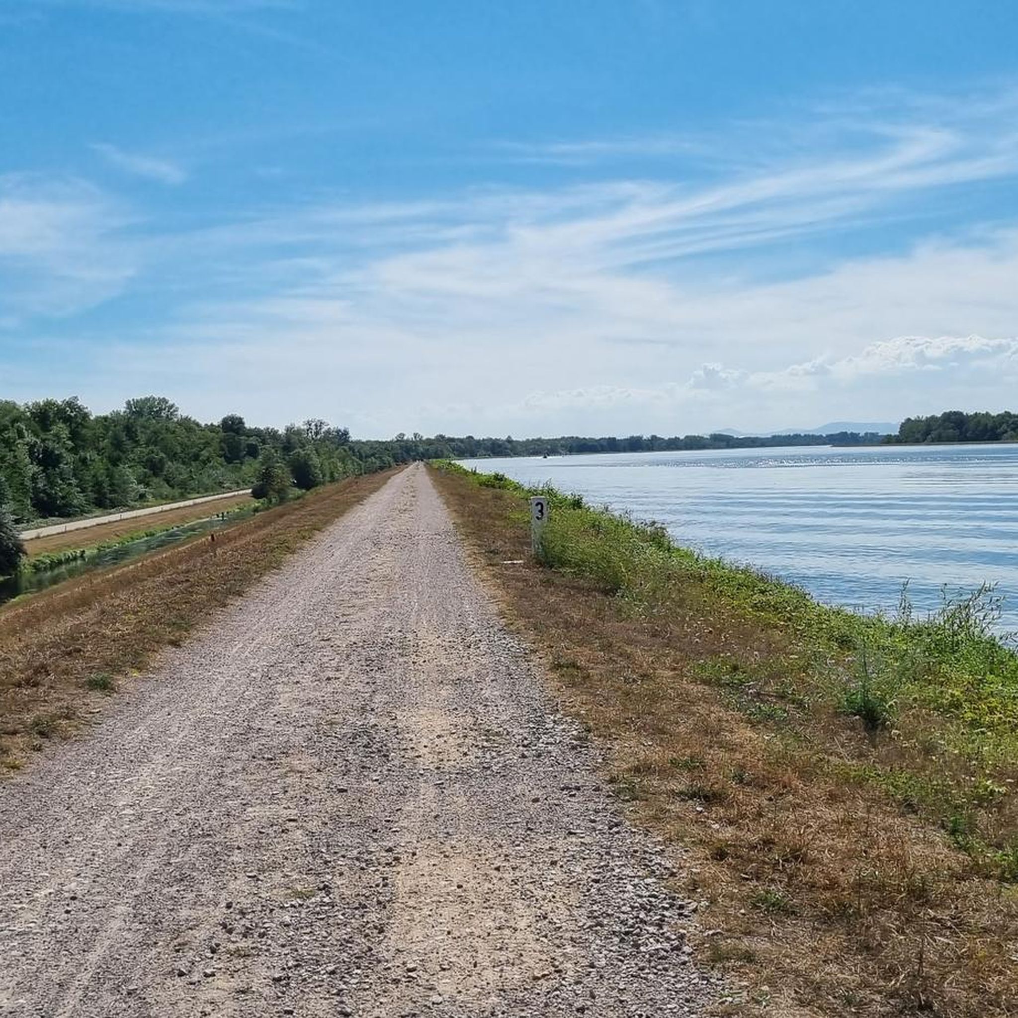
Road cycling in Rheinauewald Diersheim is characterized by its location within the Rhine floodplains, offering mostly flat or gently undulating terrain. The region features extensive forested areas and picturesque riverside paths along the Rhine and Altrhein. These natural features provide a serene environment for road cyclists, with routes often following paved surfaces through tranquil landscapes.
Best road cycling routes in Rheinauewald Diersheim
- The most popular road cycling route is Staufenberg Castle Climb – St. Wendelin Chapel loop from Rheinau,…
Last updated: October 20, 2026
4.2
(12)
101
riders
Easy road ride. Great for any fitness level. Mostly well-paved surfaces and easy to ride.
4.5
(4)
27
riders
39.7km
01:38
60m
60m
Easy road ride. Great for any fitness level. Mostly well-paved surfaces and easy to ride.

15
riders
Moderate road ride. Great for any fitness level. Some segments of this route may be unpaved and difficult to ride.
12
riders
73.5km
03:19
680m
680m
Moderate road ride. Good fitness required. Mostly well-paved surfaces and easy to ride.
4.0
(2)
8
riders
29.2km
01:10
40m
40m
Moderate road ride. Great for any fitness level. Some segments of this route may be unpaved and difficult to ride.
Get access to more routes and recommendations from other explorers.
Already have an account?
Our route recommendations are based on thousands of hikes, rides, and runs completed by other people on komoot.
Start today with a free account
Your next adventure awaits.
Tips from the Community

This cross is intended to remind of Christian values and offers travelers, whether on foot or by bike, the opportunity for a short pause.
3
0
Between Urloffen and the Bundesstraße 3 lies the four-track Rhine Valley line. Anyone who wants to cross it must therefore go over the bridge. What drivers find difficult, cyclists and hikers simply stand on the bridge and see what rolls by there.
3
0


Kork is a very old district of Kehl and was first mentioned in 778. In the Middle Ages, Kork was an important administrative and trading center in the Hanauerland. The Reformation was introduced there early, and later the place suffered from several wars on the Upper Rhine. In the 19th century, Kork was the seat of a Baden district office and continued to develop. In 1971, the place was incorporated into Kehl. Today, Kork is particularly known for its historic half-timbered houses and the Kork Epilepsy Centre.
1
0
The Korker Stier is a bronze sculpture in the Kork district of Willstätt. It is considered a landmark of the town and symbolizes the agricultural tradition as well as the former importance of cattle farming in the region.
0
0
The Kinzig is a river that flows through the Central Black Forest and the Upper Rhine Plain for a length of 93 km. The Kinzig originates in Loßburg and flows into Kehl-Auenheim.
0
0

The village was first mentioned in a document from 778 AD. Numerous preserved houses, which richly document the village's history, are listed as historical monuments, such as the former court site "Auf dem Bühl" and its 18th-century half-timbered houses. The now-renovated Old District Clerk's Office is the oldest of the remaining administrative buildings of the former administrative center of Kork. The Protestant church houses art historical treasures. The craft museum in the old vinegar factory is also particularly worth visiting.
3
0
The Rench is 57 km long. It rises near Zuflucht at an altitude of 915 m. The Rench flows into the Rhine near Helmlingen.
3
0
Frequently Asked Questions
What makes road cycling in Rheinauewald Diersheim unique?
Road cycling in Rheinauewald Diersheim is defined by its serene natural environment, primarily within the Rhine floodplains. This means you'll find mostly flat or gently undulating terrain, ideal for smooth rides. The region features extensive forested areas and picturesque riverside paths along the Rhine and Altrhein, offering scenic views and a peaceful atmosphere.
How many road cycling routes are available in Rheinauewald Diersheim?
There are over 140 road cycling routes available in Rheinauewald Diersheim, catering to various skill levels. You can find everything from easy, flat rides to more challenging routes with moderate climbs.
What do other cyclists say about the routes in Rheinauewald Diersheim?
The routes in Rheinauewald Diersheim are highly rated by the komoot community, with an average score of 4.3 stars from over 230 reviews. Cyclists often praise the tranquil landscapes, well-maintained paths, and the variety of routes available.
Are there any interesting landmarks or natural features to see along the road cycling routes?
Yes, several routes pass by notable landmarks and natural features. You can explore the Rheinauewald Diersheim itself, ride along The Rhine, or discover the Myriameter Stone on the Rhine. The Legend Trail Dreimarker – The Reininkixen at Dreimarker also offers a historical point of interest.
Are there family-friendly road cycling routes in Rheinauewald Diersheim?
Yes, many routes in Rheinauewald Diersheim are suitable for families, especially those that are mostly flat and follow paved surfaces through the floodplains. An easy option is the Bull Statue at Der Kirker Mühl – St. Johannes Nepomuk Church loop from Rheinau, which is 24.8 miles (39.9 km) long and offers a gentle ride.
What is the best time of year to go road cycling in Rheinauewald Diersheim?
The spring, summer, and early autumn months generally offer the best conditions for road cycling in Rheinauewald Diersheim. The forested areas provide pleasant shade during warmer months, and the flat terrain is enjoyable in mild weather. Winter cycling is possible, but be mindful of colder temperatures and potential icy patches.
Are there routes for experienced road cyclists looking for a challenge?
While much of the region is flat, there are routes that offer more challenge. For instance, the Staufenberg Castle Climb – St. Wendelin Chapel loop from Rheinau is a 42.7-mile (68.7 km) route that includes a moderate climb towards Staufenberg Castle. Another challenging option is the 107.8-mile (173.5 km) Along the canal – Bike path along the Rhine loop from Gambsheim.
Are dogs allowed on the road cycling routes in Rheinauewald Diersheim?
While many natural areas in Germany are dog-friendly, it's always best to check local regulations for specific paths, especially those within nature reserves. Generally, dogs on a leash are tolerated on most public cycling paths, but ensure they do not disturb wildlife or other cyclists.
Are there any circular road cycling routes available?
Yes, many of the routes in Rheinauewald Diersheim are designed as loops, allowing you to start and end at the same point. Examples include the Motodrom Wagshurst Approach – Weir at Wagshurst loop from Rheinau and the Ringelbacher Kreuz Pass – View of Hornisgrinde loop from Rheinau.
Where can I park my car when cycling in Rheinauewald Diersheim?
The Marina Rheinauewald Diersheim is a central hub for outdoor activities and often serves as a starting point for routes, suggesting parking facilities may be available there. Additionally, look for designated parking areas near popular trailheads or villages like Diersheim, Freistett, or Rheinau.
Is Rheinauewald Diersheim accessible by public transport for cyclists?
While the region is known for its natural beauty, public transport options directly to trailheads might be limited. It's advisable to check local bus or train schedules for connections to nearby towns like Rheinau or Diersheim, and then cycle from there to your desired starting point. Always confirm if bikes are allowed on public transport.
Are there cafes or places to eat near the road cycling routes?
The region includes several small towns and villages such as Diersheim, Freistett, and Rheinau. These areas typically offer cafes, restaurants, or bakeries where you can refuel during or after your ride. The Marina Rheinauewald Diersheim may also have amenities.
Most popular routes in Rheinauewald Diersheim
Most popular attractions in Rheinauewald Diersheim

Get inspired with the komoot mobile app


Explore more
Browse the best Road cycling routes in other regions.
