The best cycling routes in Lichtenauer Rheinniederung
4.5
(3003)
16,954
riders
591
rides
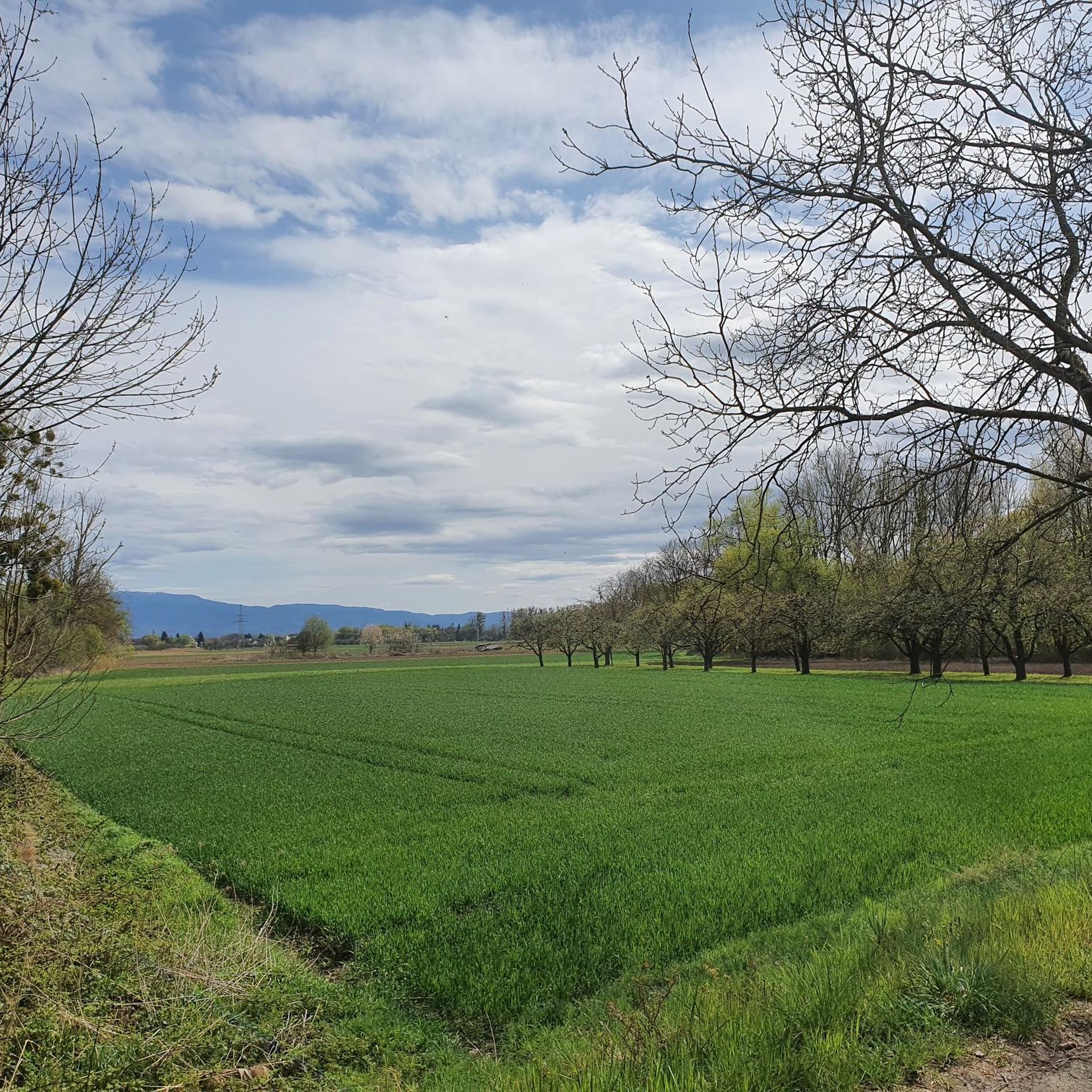
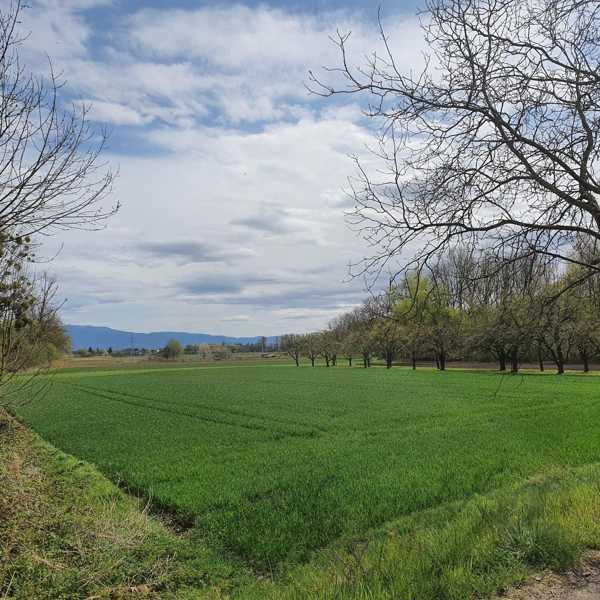
Touring cycling in Lichtenauer Rheinniederung is characterized by its flat Rhine lowlands, shaped by the historical dynamics of the Rhine River. The region features ecologically valuable forest areas and naturally formed water bodies, providing diverse habitats. As a nature reserve and landscape protection area, it preserves a unique environment ideal for cycling. The proximity to the Rhine River, which forms the border with France, offers scenic views throughout the area.
Best touring cycling routes in Lichtenauer Rheinniederung
- The most popular…
Last updated: October 13, 2026
4.7
(6)
93
riders
Easy bike ride. Great for any fitness level. Mostly paved surfaces. Suitable for all skill levels.
3.7
(3)
13
riders
Moderate bike ride. Good fitness required. Mostly paved surfaces. Suitable for all skill levels.

4.5
(72)
253
riders
Easy bike ride. Great for any fitness level. Mostly paved surfaces. Suitable for all skill levels.
4.5
(8)
78
riders
Moderate bike ride. Good fitness required. Mostly paved surfaces. Suitable for all skill levels.
4.8
(4)
82
riders
12.9km
00:45
20m
20m
Easy bike ride. Great for any fitness level. Mostly paved surfaces. Suitable for all skill levels.
Get access to more routes and recommendations from other explorers.
Already have an account?
Our route recommendations are based on thousands of hikes, rides, and runs completed by other people on komoot.
Start today with a free account
Your next adventure awaits.
Tips from the Community

"These can still be guessed today". Yes, but that's it.
2
0

There's always something going on here.
0
0
if the highlight is too boring, enjoy a nice beer. Ignoring highlights is not so easy when a thousand spam highlights light up on the planning map....
3
1

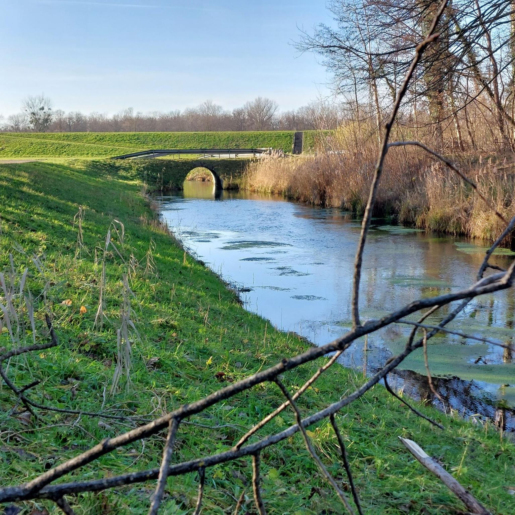
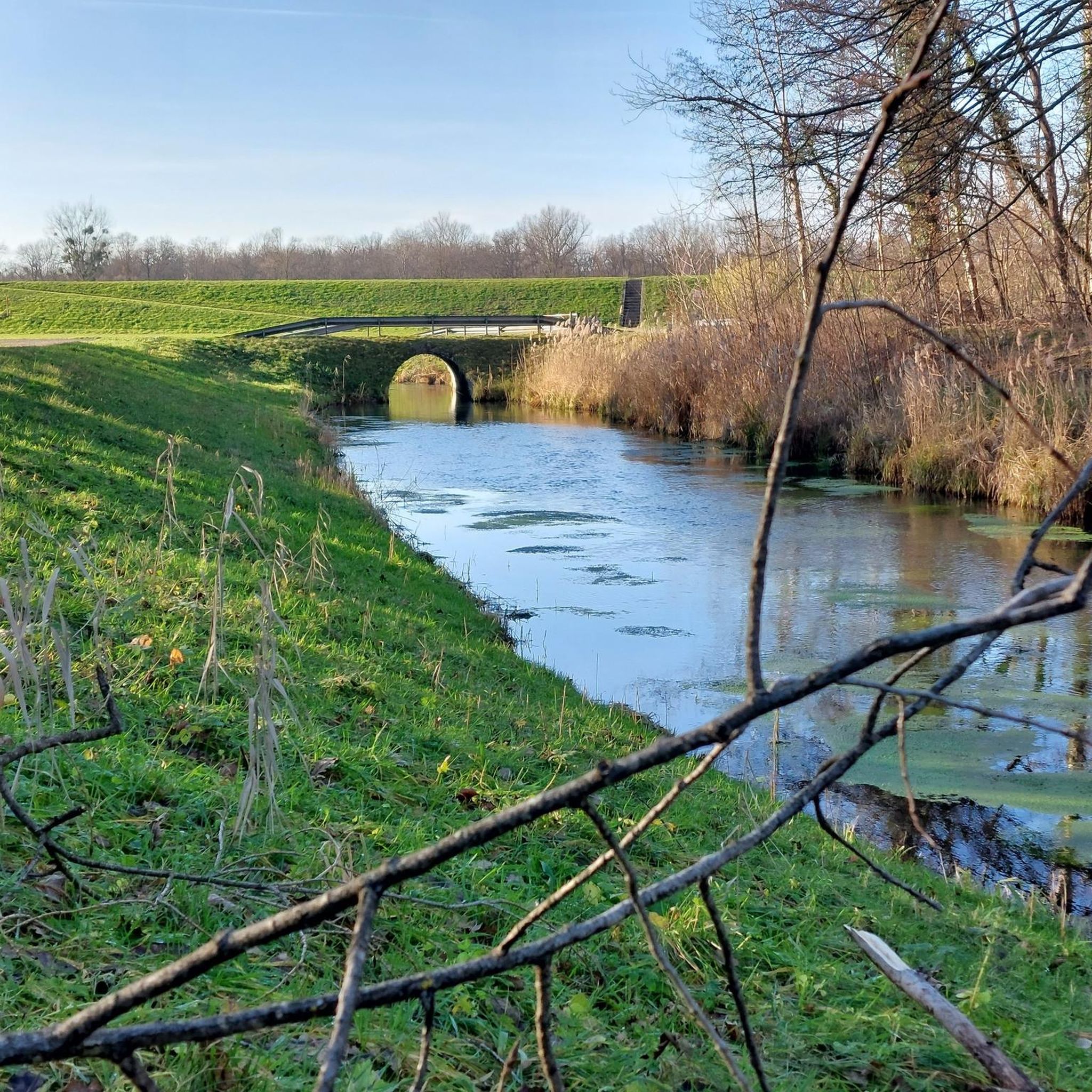
Great re-naturalized canal with beautiful forest and meadow landscape
0
0
Top view of the racetrack
0
0

Beautiful farm shop with cafe
0
0

The Kanalbach carries the water of the Achern Mill Stream, crosses the Scheidgraben ditch on a concrete bridge, and flows into the Sulzbach. When the wooden weir on the bridge is opened, the water plunges into the lower-lying Scheidgraben. The Achern Mill Stream carries the water of the Acher River, which is diverted southeast of Oberachern – near the large fish ladder.
1
0

Break on one of the many benches at the ferry in Drusenheim.
0
0
Frequently Asked Questions
How many touring cycling routes are available in Lichtenauer Rheinniederung?
Lichtenauer Rheinniederung offers a vast network of touring cycling routes. You'll find over 590 routes, catering to various skill levels and preferences.
Are there easy routes suitable for beginners or families?
Yes, the region is particularly well-suited for easy cycling. Over 400 of the routes are classified as easy, featuring mostly paved surfaces and minimal elevation gain, making them perfect for families or those new to touring cycling. A great option is the Birkenweiher – Rössel Bridge over the Acher loop from Lichtenauer Rheinniederung, which is an easy 9.1 miles (14.6 km) path offering pleasant views.
What kind of landscapes and natural features will I encounter while cycling?
You'll cycle through the flat Rhine lowlands, a landscape shaped by the historical dynamics of the Rhine River. Expect to see ecologically valuable forest areas, naturally formed water bodies that are vital habitats for endangered species, and scenic views of the Rhine itself, which forms the border with France. The entire area is a nature reserve and landscape protection area, ensuring a unique natural environment.
Are there any challenging routes for experienced touring cyclists?
While many routes are easy, there are also options for more experienced cyclists. You can find 60 difficult routes and 129 moderate routes. These may include unpaved or more demanding segments, requiring good fitness. For example, the Section along the Moder – The Moder River in Haguenau loop from Lichtenau is a moderate 38.1 miles (61.3 km) route that offers a longer ride.
Can I find circular touring cycling routes in the area?
Yes, many of the touring cycling routes in Lichtenauer Rheinniederung are designed as loops, allowing you to start and end at the same point. This is convenient for exploring without needing to arrange transport back. The Greffern Marina – Rheinau–Gambsheim Barrage loop from Rheinknie Alter Kopfgrund is a popular circular route, covering 20.0 miles (32.2 km) through the Rhine lowlands.
What interesting sights or attractions can I see along the routes?
Beyond the natural beauty, you can discover several points of interest. The historic Confluence of the Rench and the Rhine is a notable natural landmark. You might also pass by the Suspension Bridge and Resting Benches at Altrheingraben, or the Riedsee Lichtenauer Rheinniederung. The historic Schwarzach Minster, an old Romanesque church, is also a significant architectural attraction in the area.
Is it possible to cross the Rhine into France during a touring cycle?
Yes, the Drusus Ferry provides a unique, free-of-charge cross-border experience. It connects Greffern in Germany to Drusenheim in France, allowing you to extend your touring cycling adventure across the Rhine and explore the French side of the border region.
What is the best time of year to go touring cycling in Lichtenauer Rheinniederung?
The flat terrain and diverse landscapes make Lichtenauer Rheinniederung enjoyable for touring cycling across multiple seasons. Spring and autumn offer pleasant temperatures and beautiful scenery, while summer is ideal for longer days. Even winter can be an option, as many routes are on paved surfaces, though conditions should be checked for ice or snow.
How do other cyclists rate the touring routes in Lichtenauer Rheinniederung?
The routes in Lichtenauer Rheinniederung are highly rated by the komoot community, with an impressive average score of 4.5 stars from over 2,600 reviews. More than 15,000 touring cyclists have used komoot to explore the varied terrain, often praising the quiet paths, scenic views, and the well-maintained network.
Are there options for parking near the cycling routes?
While specific parking areas are not detailed for every route, the accessibility of the region and the numerous starting points for tours suggest that parking is generally available in and around the towns and villages within Lichtenauer Rheinniederung, such as Lichtenau or Greffern. It's advisable to check specific route descriptions on komoot for recommended starting points with parking.
Can I reach the cycling routes by public transport?
The region is part of the Landkreis Rastatt in Baden-Württemberg, Germany, which generally has public transport connections. While direct access to every trail by public transport might vary, major towns and villages in and around Lichtenauer Rheinniederung are typically served by buses or regional trains, from which you can often cycle to the starting points of many routes.
What are the typical distances for touring cycling routes in this area?
The routes in Lichtenauer Rheinniederung vary significantly in length. You can find shorter, easy paths around 9-10 miles (15-16 km), such as the Birkenweiher – Rössel Bridge over the Acher loop. There are also longer routes, like the moderate Muehlbach Trail, Iffezheim – Kanalbach Bridge loop from Lichtenau at 23.5 miles (37.8 km), and even more extensive options for those seeking a full day's ride.
Most popular routes in Lichtenauer Rheinniederung
Most popular attractions in Lichtenauer Rheinniederung

Get inspired with the komoot mobile app


Explore more
Browse the best Cycling routes in other regions.
