The best MTB trails in Salmengrund
4.5
(592)
2,184
riders
153
rides
Mountain biking in Salmengrund offers routes through a protected nature reserve in Baden-Württemberg, Germany. The region is characterized by its Rhine floodplain landscapes, including the Rhine River and its old arms, alongside characteristic forests and "aue-typical" habitats. This diverse ecosystem provides a varied backdrop for mountain bike trails, ranging from flat riverbank paths to routes with moderate elevation changes. The area's conservation efforts ensure a natural environment suitable for outdoor activities.
Best mountain bike trails in Salmengrund
- The most popular…
Last updated: October 13, 2026
5.0
(3)
18
riders
58.9km
03:18
130m
130m
Moderate mountain bike ride. Good fitness required. Advanced riding skills necessary.
4.5
(4)
14
riders
40.9km
03:05
540m
540m
Moderate mountain bike ride. Good fitness required. Suitable for all skill levels.

5.0
(1)
6
riders
42.9km
02:47
400m
400m
Moderate mountain bike ride. Good fitness required. Suitable for all skill levels.
4.0
(1)
6
riders
40.6km
02:53
440m
440m
Moderate mountain bike ride. Good fitness required. Suitable for all skill levels.
2.0
(1)
3
riders
43.3km
02:58
480m
480m
Moderate mountain bike ride. Good fitness required. Suitable for all skill levels.
Get access to more routes and recommendations from other explorers.
Already have an account?
Our route recommendations are based on thousands of hikes, rides, and runs completed by other people on komoot.
Start today with a free account
Your next adventure awaits.
Tips from the Community

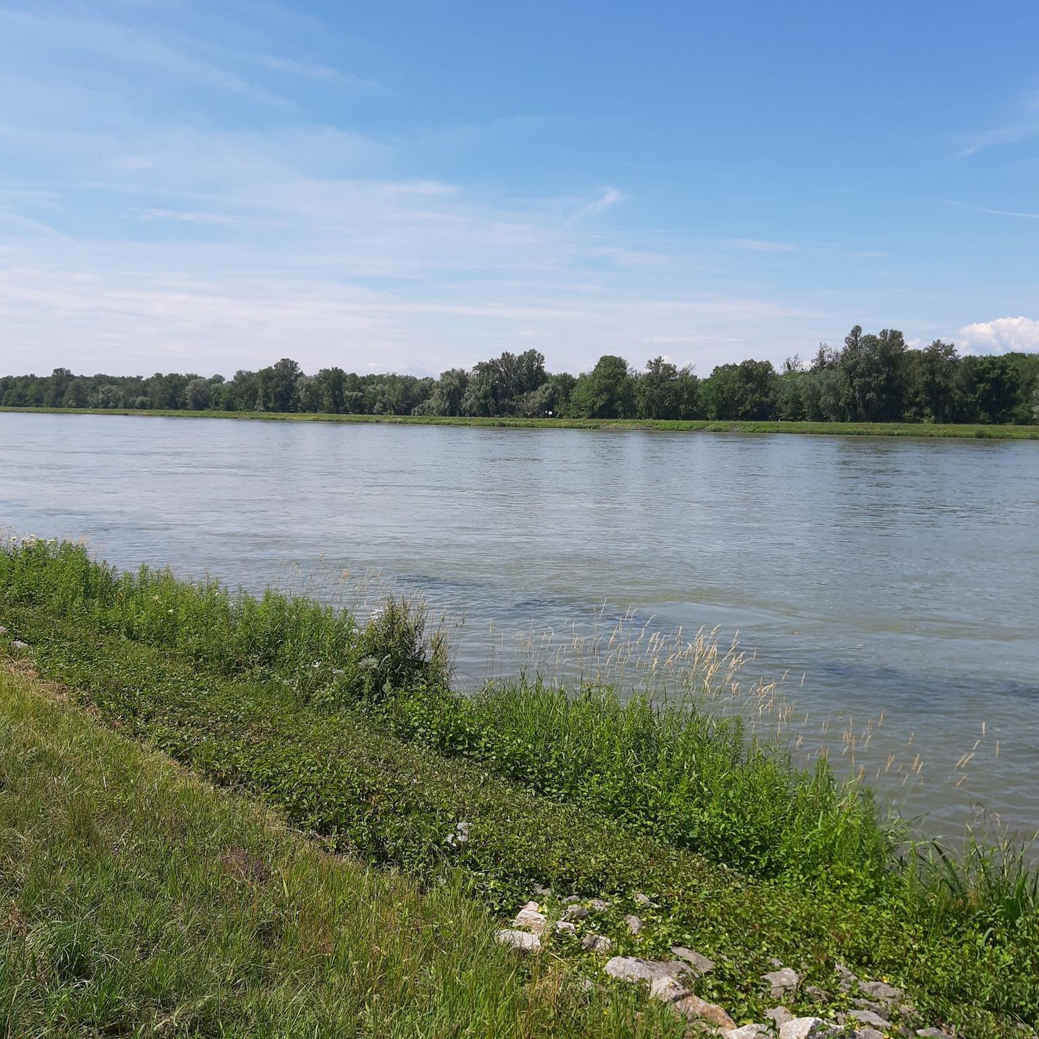
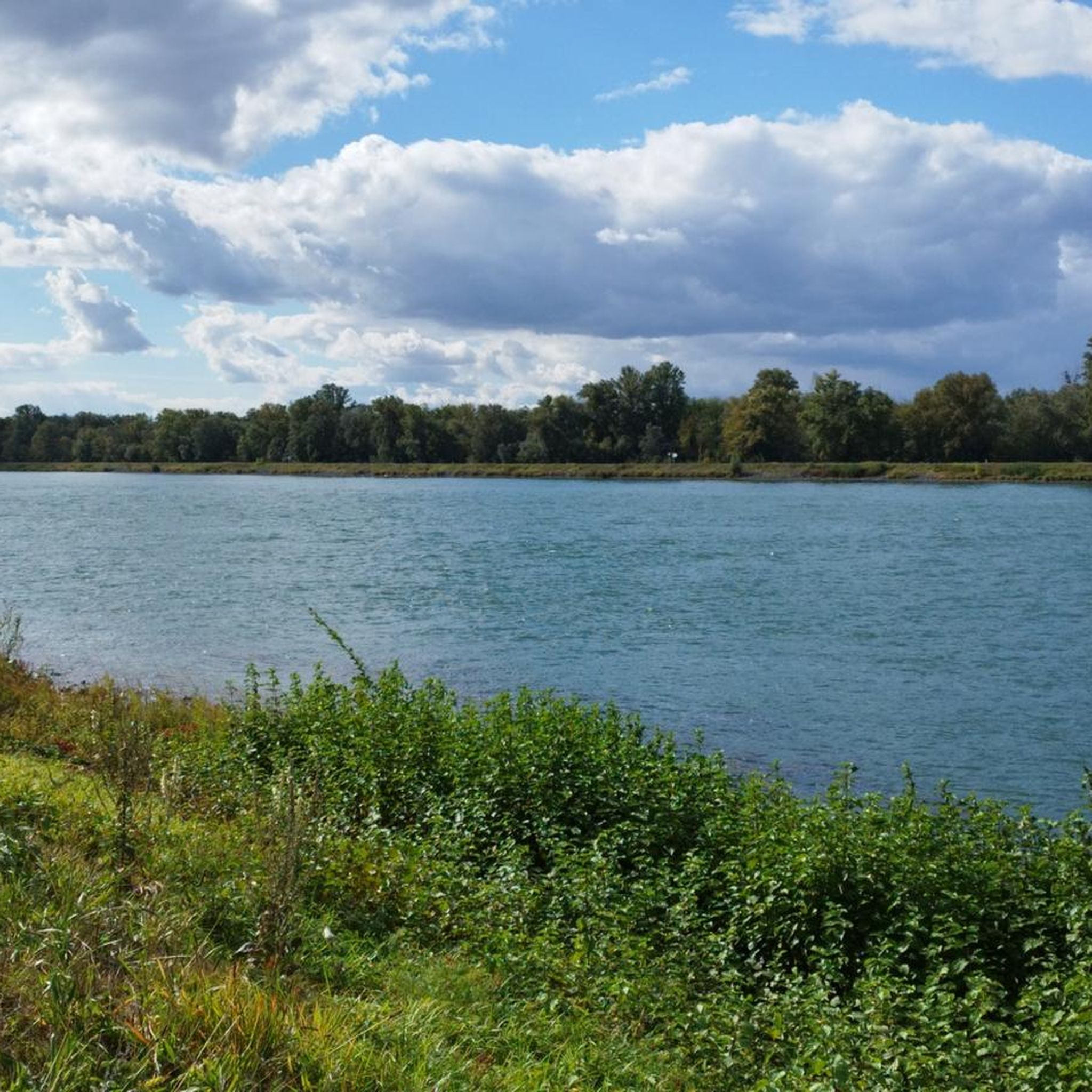
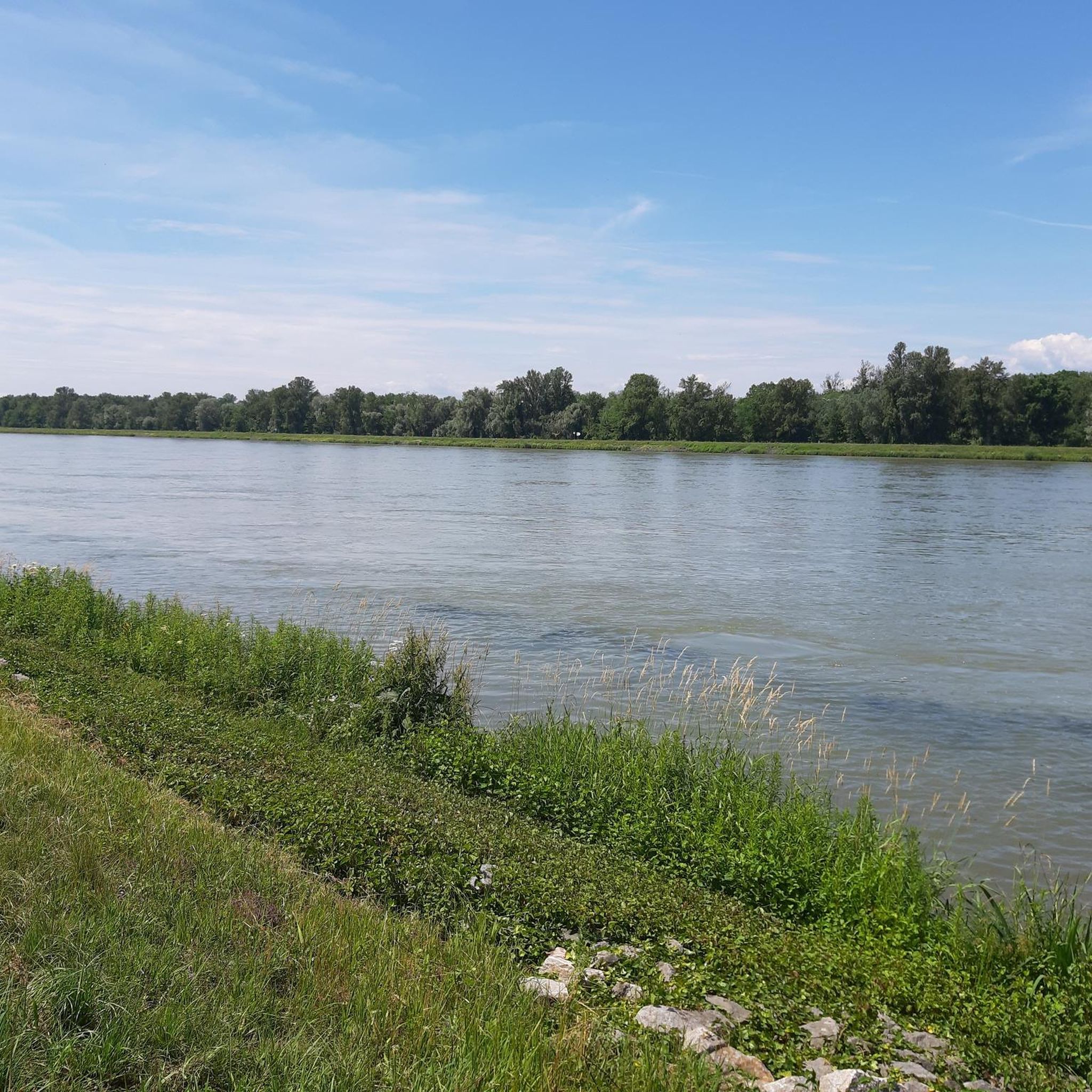
The Rhine, with a total length of around 1,233 kilometers, is one of Europe's most important, busiest, and historically significant rivers. It connects the Alps with the North Sea and flows through six countries.
0
0

a two-lane car-free bridge. one side is for pedestrians and the other for bicycles
1
0
The Bridge of the Two Shores is a modern pedestrian and bicycle bridge over the Rhine, connecting the cities of Strasbourg and Kehl. Its French name is „Passerelle des Deux Rives“. The curved steel bridge was opened in 2004 on the occasion of the State Garden Show and is considered a symbol of German-French friendship and European cooperation. It is approximately 387 meters long and was designed by Austrian architect Dietmar Feichtinger. Particularly striking is its elegant arch shape with an observation platform in the middle of the Rhine. From there, you have a beautiful view of the Rhine landscape, the two cities, and the surrounding Garden of the Two Shores. The bridge is used exclusively by pedestrians and cyclists and is a popular destination for walks, bike tours, and excursions.
1
0

Beautiful cycle path for a nice bike ride.
0
0

The Quai André Malraux (often also called Presqu’île André Malraux) is a modern cultural and leisure center in Strasbourg, built on a former harbor site. [1, 2] Highlights and amenities Médiathèque André Malraux: The largest public library in the Grand Est region with around 160,000 documents. Rivetoile: A large shopping center directly on the waterfront. UGC Ciné Cité: A multiplex cinema. Entrepôts Seegmuller: Historic harbor buildings that now house apartments, offices, and restaurants. Architecture: The district is known for its striking industrial monuments, such as the renovated harbor cranes, and modern residential complexes like the Black Swan towers. [1, 2, 3, 4, 5, 6] Location and activities The district is located southeast of the historic city center in the Neudorf district and is accessible via the Passerelle de la Presqu'île bridge. Today it serves as a popular meeting point for: Walks by the water: The paths lead along the Bassin d'Austerlitz
0
0

Driving along the Rhine dam and seeing Strasbourg Cathedral in the distance...great
1
0


Frequently Asked Questions
What kind of mountain bike trails can I find in Salmengrund?
Salmengrund offers a diverse range of mountain bike trails, primarily characterized by the Rhine floodplain landscapes, characteristic forests, and tranquil riverbanks. You'll find paths ranging from flat riverbank routes to those with moderate elevation changes. The area's conservation efforts ensure a natural environment with varied terrain.
Are there mountain bike trails suitable for beginners in Salmengrund?
Yes, Salmengrund has a good selection of trails for beginners. Out of 141 mountain bike routes, 42 are classified as easy, making them suitable for those new to mountain biking or looking for a relaxed ride through the natural surroundings.
What is the typical length and duration of mountain bike trails in Salmengrund?
The mountain bike trails in Salmengrund vary in length and duration. Many popular routes are moderate, ranging from approximately 24 miles (39 km) to over 31 miles (51 km), and can take between 3 to 4 hours to complete. For example, the View of Oberweier – Rauhörnle hut loop from Meißenheim is 25.4 miles (40.8 km) and takes about 3 hours 18 minutes.
Are there challenging mountain bike routes for experienced riders?
While many trails are moderate, Salmengrund does offer some routes that present more of a challenge. There are 13 trails classified as difficult among the 141 available, providing options for experienced riders seeking more demanding terrain and longer distances.
Are there unpaved paths suitable for mountain biking in Salmengrund?
Yes, the region's focus on preserving "aue-typical" (floodplain-typical) habitats means you'll encounter many unpaved paths and natural surfaces. These are integral to the mountain biking experience in Salmengrund, offering varied terrain through forests and along riverbanks.
What is the best season for mountain biking in Salmengrund?
The spring and autumn months are generally ideal for mountain biking in Salmengrund, offering pleasant temperatures and beautiful scenery as the floodplain landscapes change. Summer can also be enjoyable, especially along the shaded forest trails and riverbanks, but it's always wise to check local weather conditions.
What do other mountain bikers enjoy most about Salmengrund?
The area is highly rated by the komoot community, with an average score of 4.5 stars from over 500 reviews. Mountain bikers often praise the scenic views along the Rhine River, the diverse floodplain landscapes, and the well-maintained paths that allow for an immersive nature experience.
Are there any circular mountain bike routes in Salmengrund?
Yes, many of the popular mountain bike routes in Salmengrund are designed as loops, allowing you to start and end at the same point. Examples include the Rauhörnle hut – Vollmer Hut loop from Meißenheim and the View of the Vosges – Entenköpfer Memorial loop from Ottenheim.
What kind of wildlife might I encounter on the trails?
As a protected nature reserve, Salmengrund is home to a rich and diverse ecosystem. You might encounter various bird species, small mammals, and unique plant communities characteristic of the Rhine floodplains. Observing wildlife is part of the natural experience, so please respect their habitat.
Are there any interesting landmarks or attractions near the mountain bike trails?
Beyond the natural beauty of the reserve, you can find nearby points of interest. The Entenköpfer Memorial – View of the Vosges loop from Meißenheim route, for instance, passes by the Entenköpfer Memorial. The broader region also includes the Erstein Forest National Nature Reserve and the local landmark known as the Rapunzel Tower, which can be incorporated into longer rides.
Where can I find parking for mountain biking in Salmengrund?
While specific parking areas are not detailed for every trailhead, the region is generally accessible. Many routes start from towns like Meißenheim and Ottenheim, where you can typically find designated parking facilities. It's advisable to check local parking options for your chosen starting point.
Can I reach the mountain bike trails in Salmengrund by public transport?
Salmengrund is located in the Ortenaukreis district of Baden-Württemberg. While public transport options exist in the broader region, direct access to specific trailheads within the nature reserve might be limited. It's recommended to research local bus or train connections to nearby towns like Meißenheim or Ottenheim and plan your route accordingly.
Most popular routes in Salmengrund
Most popular attractions in Salmengrund

Get inspired with the komoot mobile app


Explore more
Browse the best MTB trails in other regions.
