The best cycling routes in Kostgefäll
4.5
(1302)
8,193
riders
217
rides
Touring cycling in Kostgefäll, situated within Germany's Black Forest, offers diverse terrain for cyclists. The region features lush forests, extensive gravel paths, and charming villages, providing a varied cycling experience. Cyclists can expect a mix of panoramic plateaus, forested peaks, and romantic valleys, with the Gfällfelsen area suggesting dramatic rock formations and impressive vistas. The landscape includes rolling hills and river valleys, characteristic of the wider Black Forest.
Best touring cycling routes in Kostgefäll
- The most popular touring cycling route…
Last updated: October 7, 2026
9
riders
Moderate bike ride. Good fitness required. Mostly paved surfaces. Suitable for all skill levels.
5.0
(2)
22
riders
10.4km
00:52
250m
250m
Moderate bike ride. Good fitness required. Mostly paved surfaces. Suitable for all skill levels.

5.0
(3)
22
riders
29.7km
02:56
940m
940m
Hard bike ride. Very good fitness required. Mostly paved surfaces. Suitable for all skill levels.
5.0
(1)
11
riders
11.5km
00:47
160m
160m
Moderate bike ride. Good fitness required. Mostly paved surfaces. Suitable for all skill levels.
11
riders
9.93km
00:40
150m
150m
Easy bike ride. Great for any fitness level. Mostly paved surfaces. Suitable for all skill levels.
Get access to more routes and recommendations from other explorers.
Already have an account?
Our route recommendations are based on thousands of hikes, rides, and runs completed by other people on komoot.
Start today with a free account
Your next adventure awaits.

Tips from the Community

nice Minigolf course ;-)
0
0

The European watershed at the Martinskapelle near Furtwangen in the Black Forest separates the catchment area of the North Sea (via the Rhine) from that of the Black Sea (via the Danube) at an altitude of around 1,085 meters. Course of the watershed Rhine catchment area (northwest side): Here the Elz originates, which flows via the Rhine ultimately into the North Sea. Danube catchment area (southeast side): Only about 100 meters from the watershed lies the source of the Breg. The Breg is considered the longest headstream of the Danube, whose water flows into the Black Sea. The separation: A ridge only a few meters wide decides here whether a water droplet begins its journey west to the Rhine or east to the Danube.
0
0

another highlight of the day
0
0
unfortunately no time for a stop
0
0
Furtwangen's local mountain, the Brend, with a height of 1149 m above sea level, is the highest elevation in the city and, at the same time, the second-highest mountain in the Schwarzwald-Baar district. From its observation tower, built in 1905 and extended to 15 meters in 1983, one can enjoy, with good visibility, not only the view of the Rhine plain, the Black Forest and Vosges peaks, but also the Swabian Jura and the Swiss Alps.
0
0

Even without snow (cross-country skiing starts here most days), it's a lovely place to linger.
0
0

Idyllic rest area
0
0

It is a former anti-aircraft position, part of the West Wall. The anti-aircraft position on the Brend in the Black Forest belonged to the Western Air Defense Zone (LVZ West).
2
0
Frequently Asked Questions
How many touring cycling routes are available in Kostgefäll?
There are over 190 touring cycling routes in Kostgefäll, offering a wide range of options for different skill levels. The komoot community has contributed to over 600 reviews, with an average rating of 4.6 stars for these routes.
Are there touring cycling routes suitable for beginners or families in Kostgefäll?
Yes, Kostgefäll offers 23 easy touring cycling routes, making it suitable for beginners and families. While specific family-friendly routes are not highlighted, many of the easier paths through charming villages and along river valleys would be pleasant. For a moderate option, the Elzach Train Station – Schuttig Fountain loop from Yach is 6.7 miles (10.8 km) and starts conveniently from a train station.
What kind of landscapes can I expect on touring cycling routes in Kostgefäll?
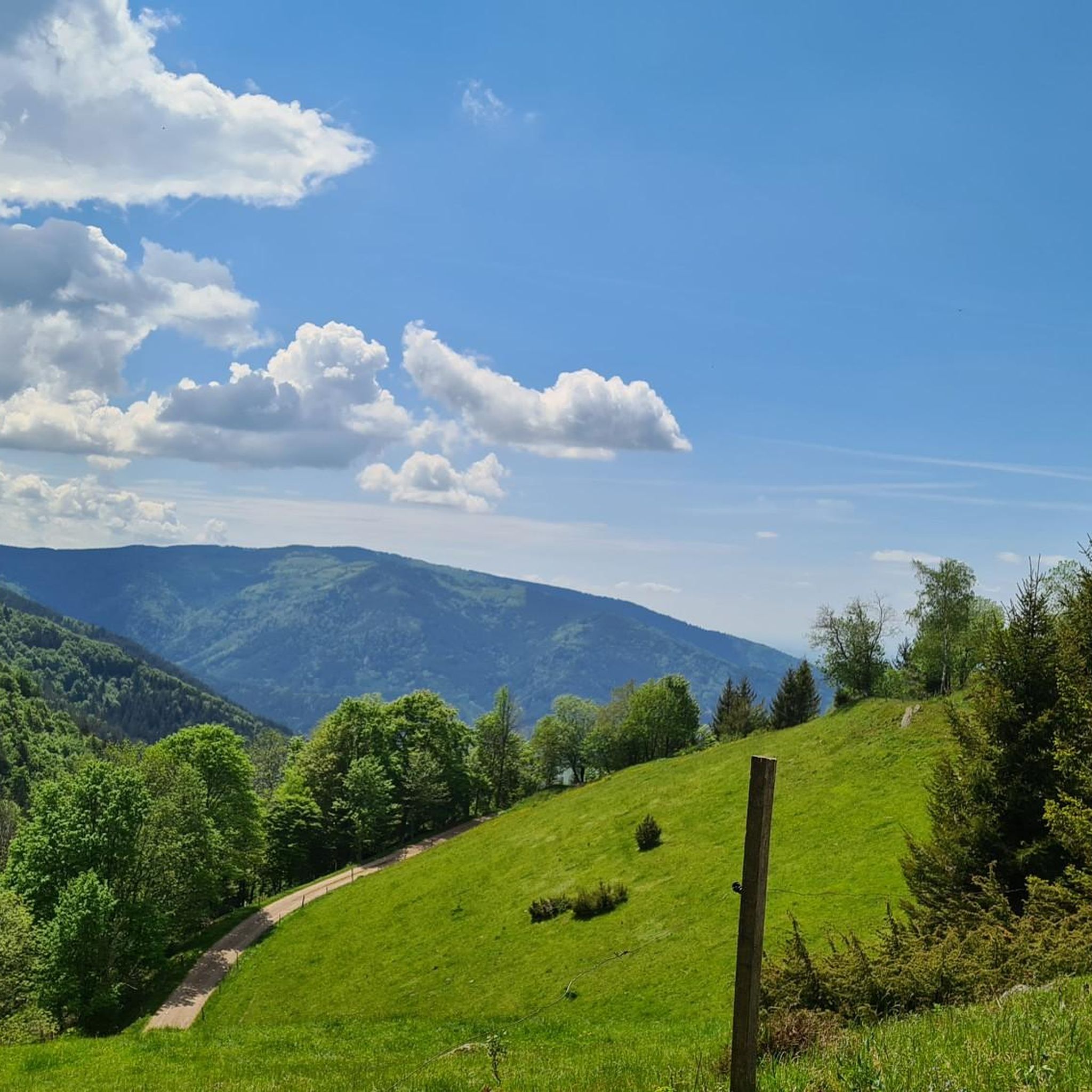
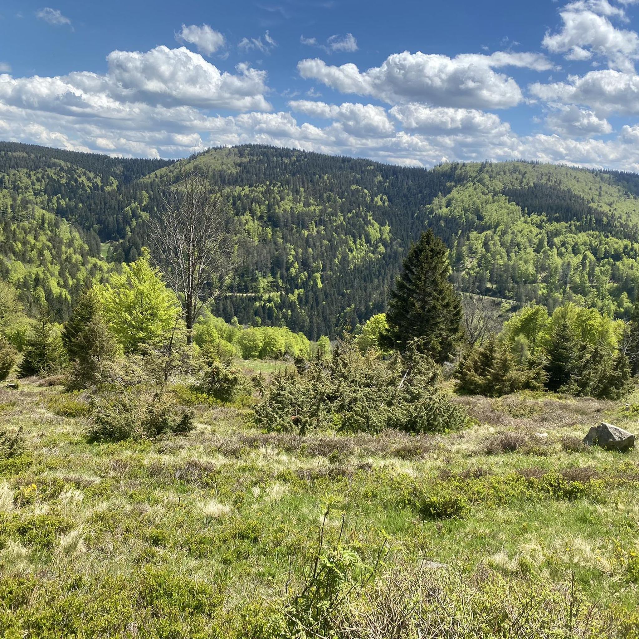
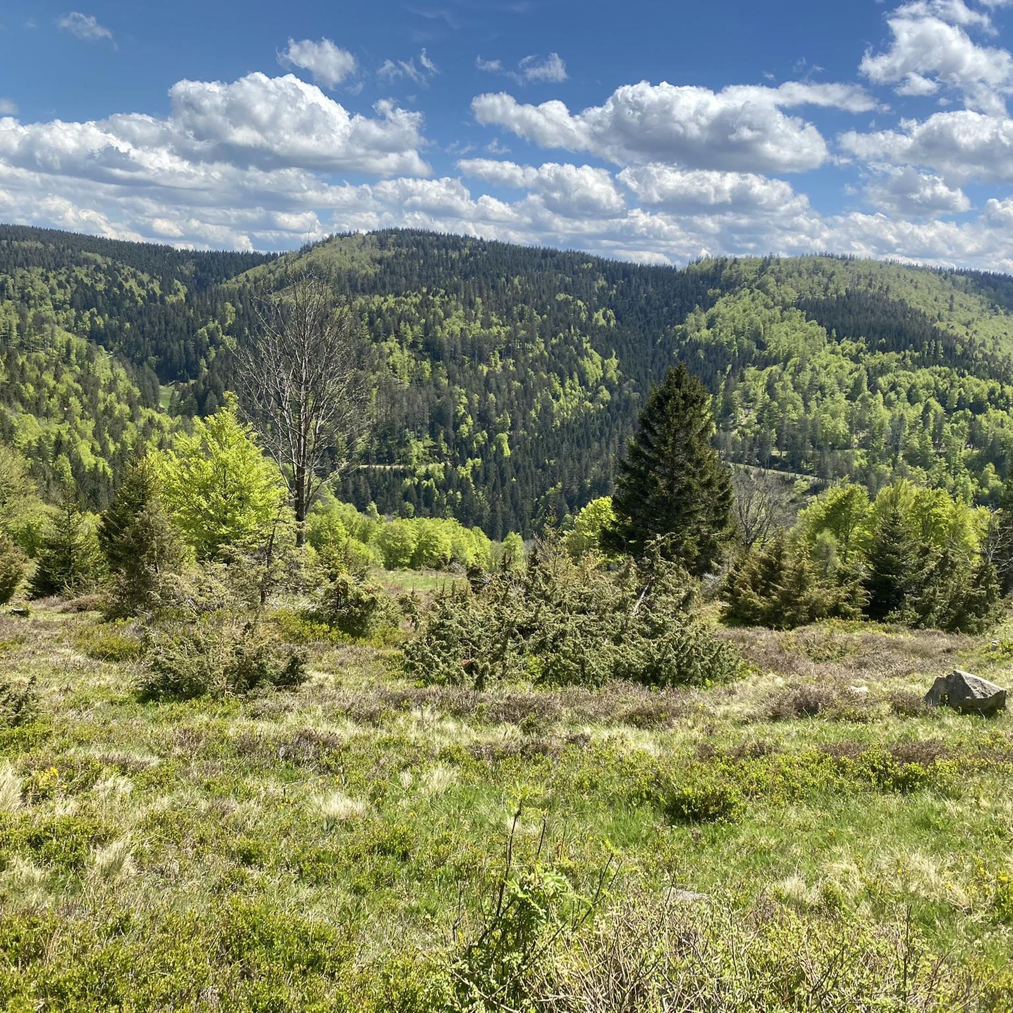
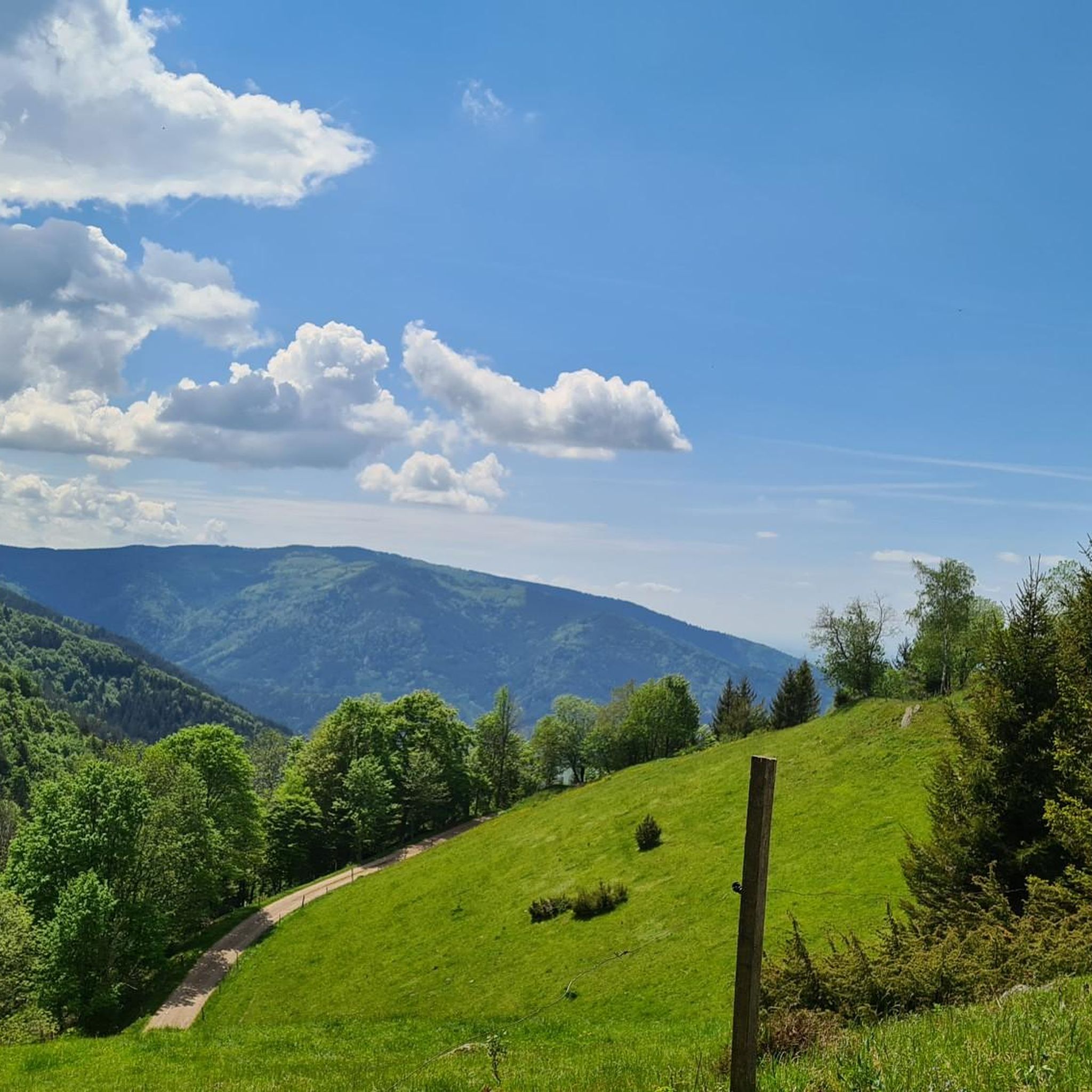
Touring cycling in Kostgefäll, nestled in the Black Forest, offers diverse landscapes. You'll encounter lush forests, extensive gravel paths, charming villages, panoramic plateaus, and romantic valleys. The region is also known for rolling hills and river valleys, with areas like the Gfällfelsen suggesting dramatic rock formations and impressive vistas.
Are there any circular touring cycling routes in Kostgefäll?
Yes, many touring cycling routes in Kostgefäll are designed as loops. For example, the Brend Tower – View from the summit of Brend loop from Rohrhardsberg - Obere Elz is a moderate 9.1 miles (14.7 km) loop offering summit views. Another option is the Gasthaus zum Adler Yach – Staudenmühle near Oberwinden loop from Yach, a moderate 11.5 km route.
What are some notable landmarks or viewpoints along the touring cycling routes?
Kostgefäll and the surrounding Black Forest offer several points of interest. You can find impressive views from the Obereck Summit (1,177 m) or the Braunhörnle Summit Cross. The Kostgfäll Gorge is another natural feature to explore. The Brend Tower – View from the summit of Brend loop from Rohrhardsberg - Obere Elz specifically highlights summit views from the Brend Tower.
Can I access touring cycling routes in Kostgefäll using public transport?
Yes, public transport can be a convenient way to access some touring cycling routes. The Elzach Train Station – Schuttig Fountain loop from Yach, for instance, starts directly from a train station. The wider Black Forest region also supports taking bicycles on trains, offering flexibility for multi-day tours or skipping challenging sections.
Are there any cafes or accommodation options near the touring cycling routes in Kostgefäll?
The Black Forest region, including areas around Kostgefäll like Simonswald and Elzach, is well-equipped with accommodations, restaurants, and cafes. Many routes pass through charming villages where you can find places to rest and refuel. The region also supports e-bike charging stations for longer tours.
What is the best time of year for touring cycling in Kostgefäll?
The Black Forest region is generally pleasant for cycling from spring through autumn. These seasons offer milder weather and vibrant natural scenery. It's always advisable to check local weather conditions before your trip, as the region can experience varied weather.
Are there any challenging touring cycling routes for experienced cyclists?
Yes, Kostgefäll offers 106 difficult touring cycling routes for those seeking a challenge. An example is the Simonswald Oil Mill – Sawmill Ettersbachhof loop from Vordergriesbach, an 18.5 miles (29.7 km) trail with significant elevation gain, often completed in about 2 hours 55 minutes. Another demanding option is the St. Martin's Chapel, Furtwangen – Wolf Sculpture in Gütenbach loop from Vordergriesbach, covering 25.9 km with over 760 meters of ascent.
What do other touring cyclists enjoy most about touring cycling in Kostgefäll?
The area is highly rated by the komoot community, with an average score of 4.6 stars from over 600 reviews. Touring cyclists often praise the diverse terrain, from lush forests and extensive gravel paths to charming villages and panoramic views. The variety of routes catering to different ability levels is also frequently appreciated.
Are there any specific natural features like gorges or waterfalls to see?
Yes, the region boasts several natural features. The Kostgfäll Gorge is a notable natural monument within Kostgefäll. The wider Black Forest, particularly the Haslach Valley, is known for its romantically wild scenery and scenic waterfalls, and the Wutach Gorge is a significant natural attraction.
Most popular routes in Kostgefäll
Most popular attractions in Kostgefäll

Get inspired with the komoot mobile app


Explore more
Browse the best Cycling routes in other regions.
