The best running trails in Dauner Maare
4.4
(380)
1,798
runners
15
runs
Jogging routes in Dauner Maare traverse a unique volcanic landscape in Germany's Volcanic Eifel region. The area is characterized by its distinctive maar lakes, which are water-filled volcanic craters, and surrounding forested slopes. Runners can expect varied terrain, from paths around the maars to routes with moderate elevation gains through woodlands. The region is part of a UNESCO Global Geopark, offering a network of trails suitable for different running preferences.
Best jogging routes in Dauner Maare
- The most popular jogging…
Last updated: June 26, 2026
4.5
(11)
94
runners
10.5km
01:18
290m
290m
Moderate run. Good fitness required. Mostly paved surfaces. Suitable for all skill levels.
4.2
(10)
83
runners
9.34km
00:59
110m
110m
Moderate run. Good fitness required. Mostly paved surfaces. Suitable for all skill levels.

Sign up for free
3.7
(30)
75
runners
Moderate run. Good fitness required. Mostly paved surfaces. Suitable for all skill levels.
5.0
(2)
42
runners
Moderate run. Good fitness required. Mostly paved surfaces. Suitable for all skill levels.
9
runners
6.82km
00:46
140m
140m
Moderate run. Good fitness required. Mostly paved surfaces. Suitable for all skill levels.
Get access to more routes and recommendations from other explorers.
Sign up for free
Already have an account?
Our route recommendations are based on thousands of hikes, rides, and runs completed by other people on komoot.
Start today with a free account
Your next adventure awaits.
Login or Signup
Popular around Dauner Maare
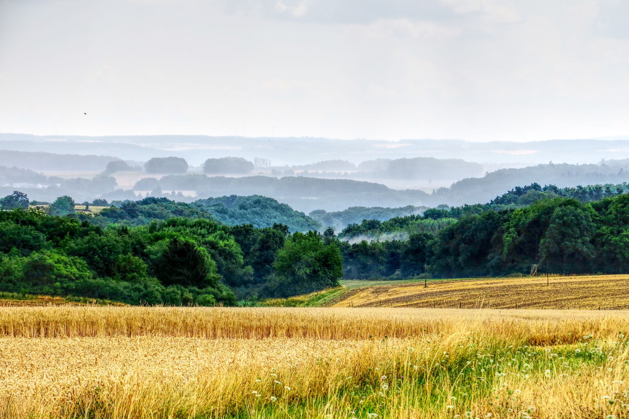
The National Natural Landscapes in Rheinland-Pfalz

Excellent paths in the Vulkaneifel – Explore the HeimatSpuren
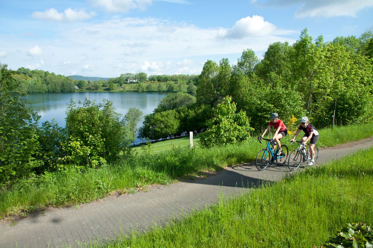
Discover Germany with the Tour in a motorhome and racing bike

Volcanoes, water, forest – the partner trails of the Eifelsteig
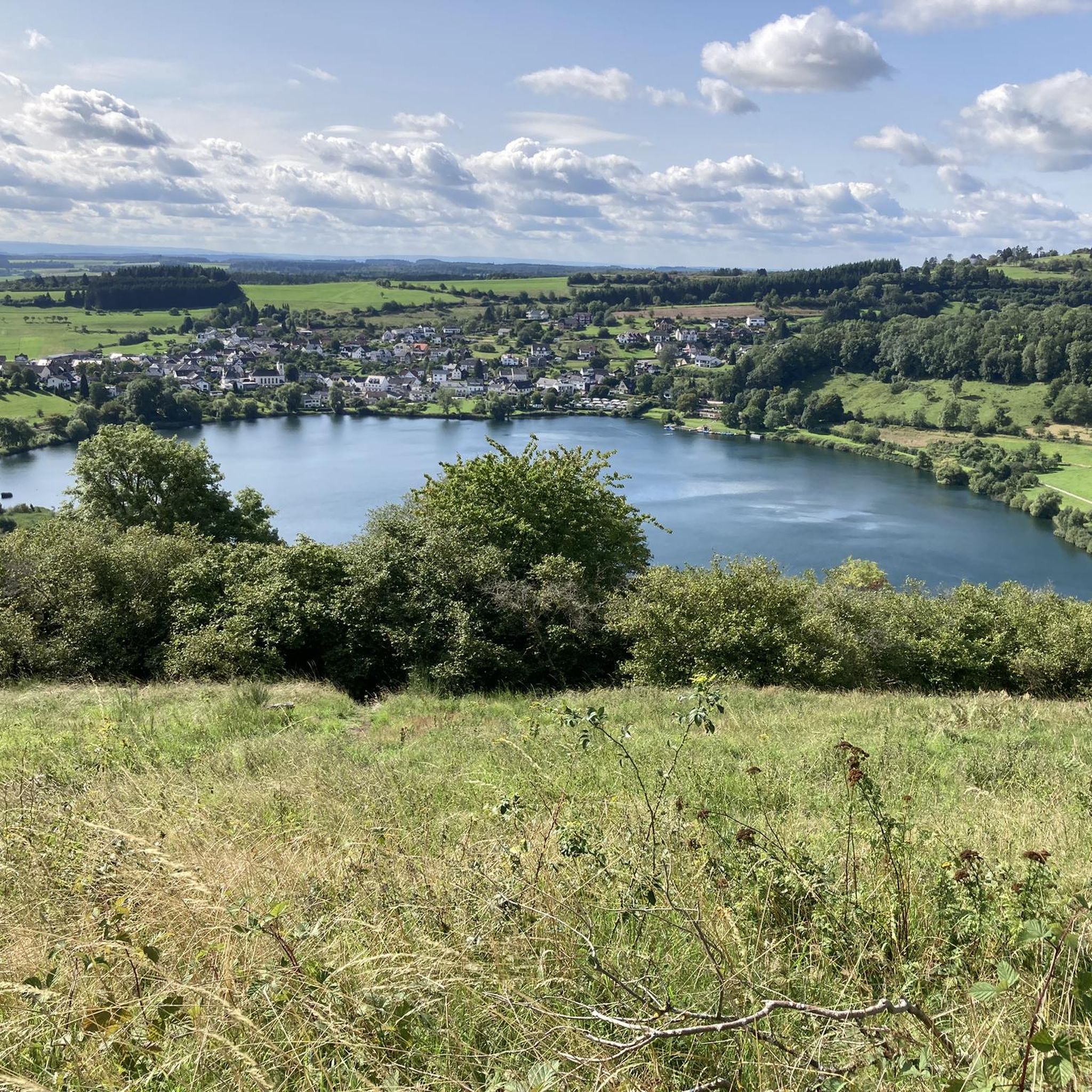
Hiking in Dauner Maare
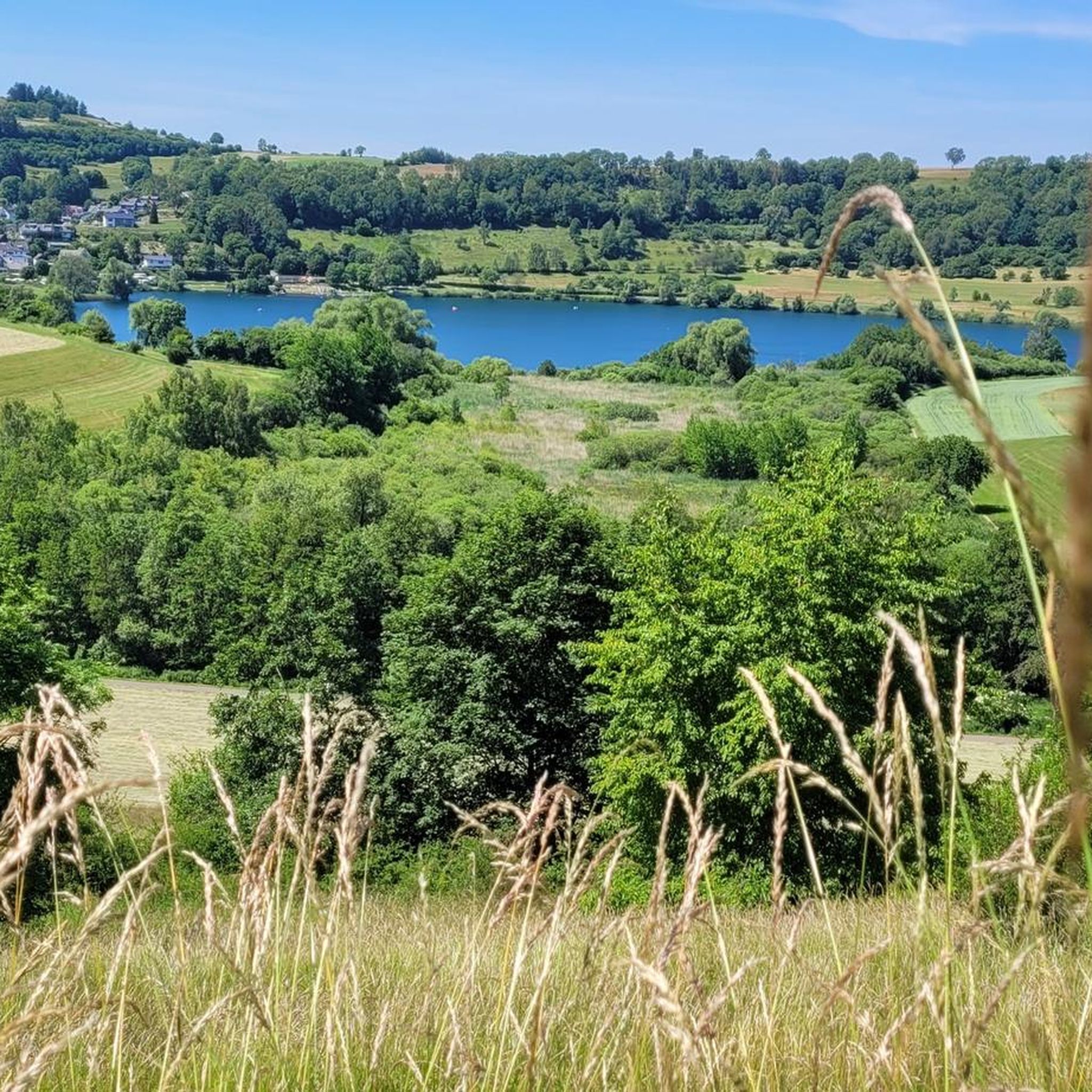
Cycling in Dauner Maare
MTB Trails in Dauner Maare
Road Cycling Routes in Dauner Maare
Mountain Hikes in Dauner Maare
Gravel biking in Dauner Maare
Other adventures in Dauner Maare


Tips from the Community

„Birds are singing, flowers are blooming, green is again the forest and the field. Oh, let us go and wander from one place to another through the wide, green world!“ (Hoffmann von Fallersleben)
4
0

There's not really much to see here. Good brakes are essential on the downhill section!
0
0
A well-maintained cycle path runs around the maar, and beautiful views are guaranteed.
0
0

Pleasant for bathing and relaxing
0
0

"Old Station" Schalkenmehren Passenger service between Daun and Wittlich was discontinued on November 1, 1981. Schalkenmehren. Approaching the Old Station in Schalkenmehren on the former railway line, today's Maare-Mosel cycle path, and seeing the station building, it's hard to believe that it was opened as a fourth-class railway station exactly 100 years ago. But how did it all begin 100 years ago? Surveying for the Daun-Wittlich railway line began as early as 1897. General preparatory work for the single-track line began in 1907. But it would take some time before the Daun-Schalkenmehren-Gillenfeld section opened on December 1, 1909, with the line running over the 28-meter-high Daun viaduct and through the 560-meter-long Schalkenmehren railway tunnel, "Großes Schlitzohr" (Great Sly Fox). The extension from Gillenfeld to Manderscheid to Pantenburg was completed on May 1, 1910, and the extension from Manderscheid-Pantenburg to Wittlich, signifying the completion of the entire line, was completed on July 1, 1910. The completion of the Daun-Wittlich railway line brought rapid development to the village of Schalkenmehren. In the first year of the line's existence (1910), 18,968 tickets were sold in Schalkenmehren, followed by 25,057 in 1913, 27,969 in 1919, and even 30,279 in 1922. In addition, Schalkenmehren station was designed for general cargo traffic and the receipt and dispatch of wagonloads. Text / Source: www.volksfreund.de/ https://www.volksfreund.de/region/vulkaneifel/ein-schmuckstueck-fuer-nostalgiker_aid-5712448
13
0

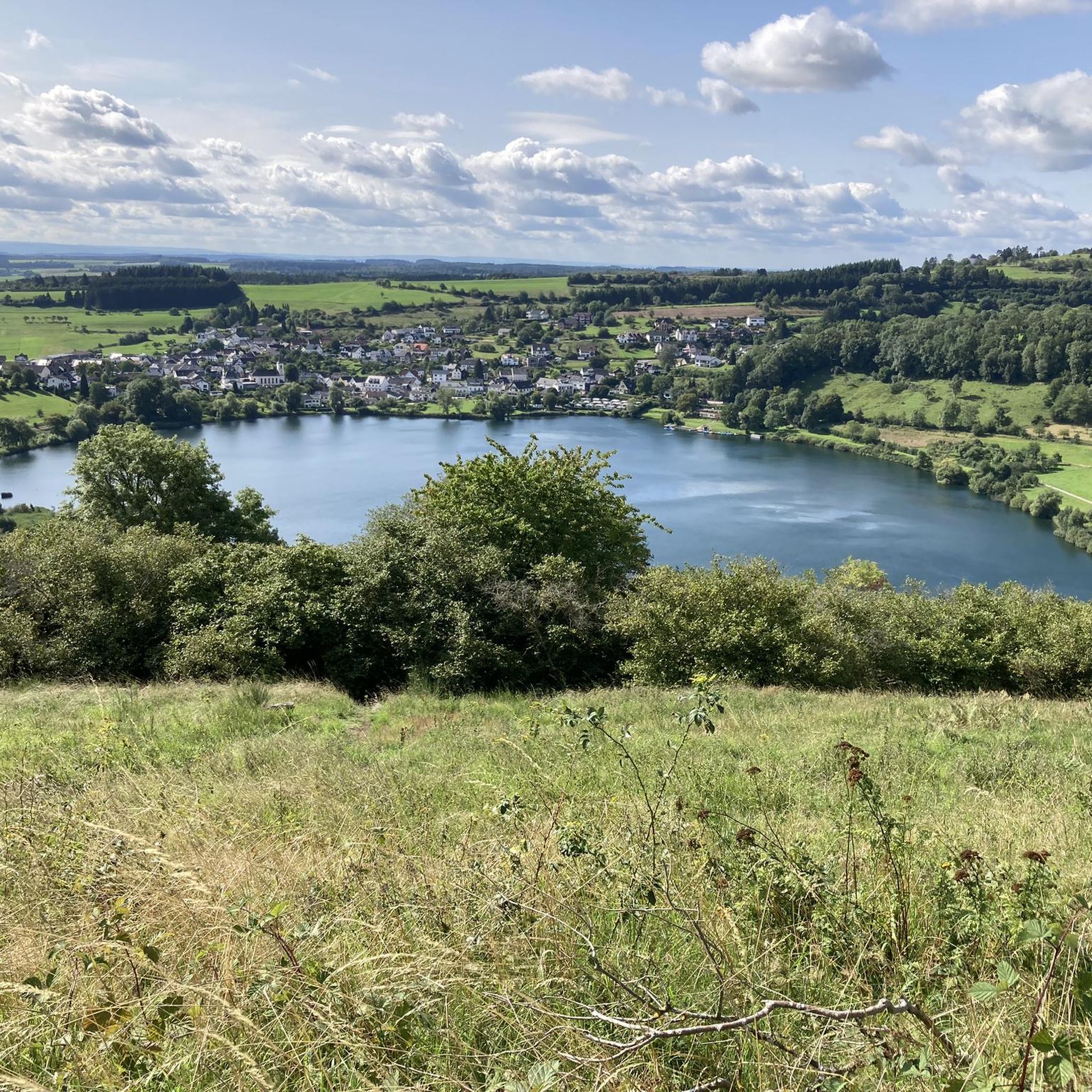
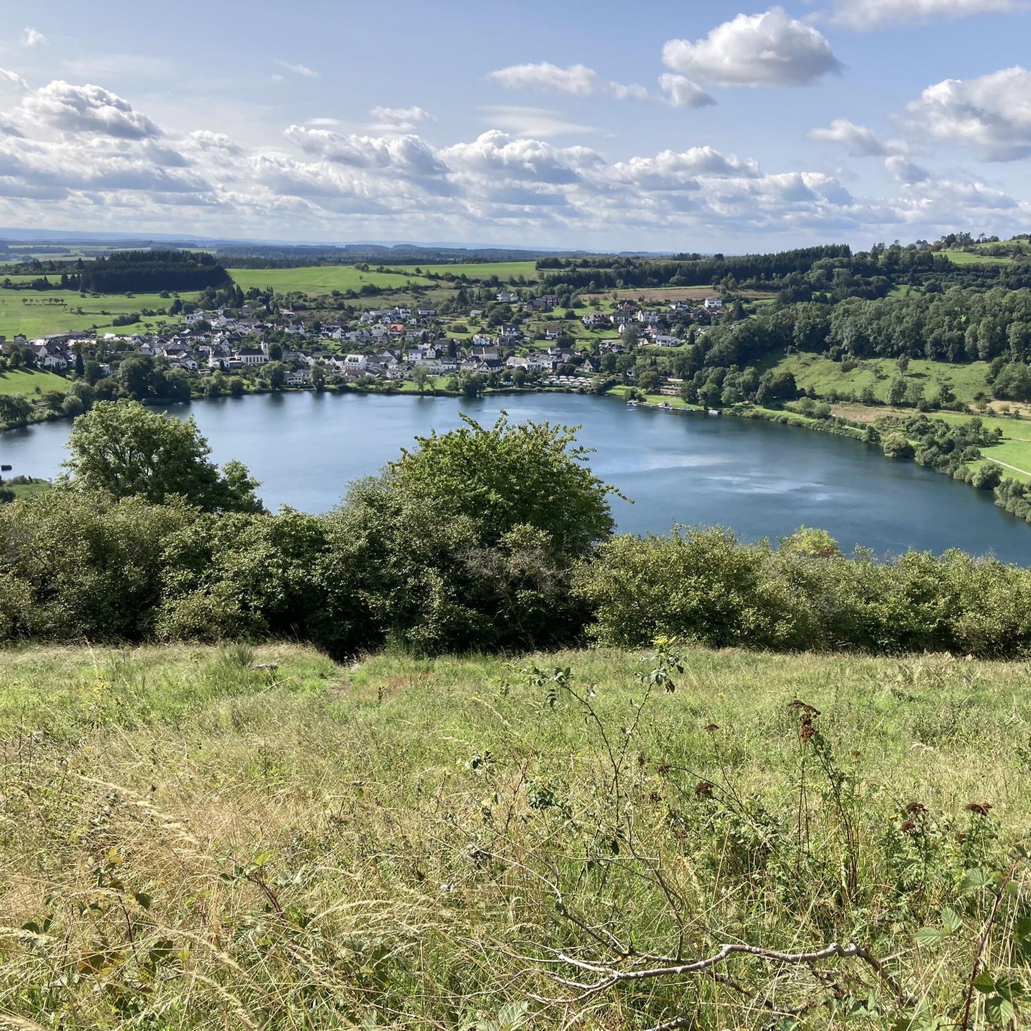
From the hills around the Schalkenmehrener Maar you have different views of the village and the almost circular water surface. One view is more beautiful than the other. Sometimes you see the St. Martin Church reflected in the water, or you can see a dry maar or the adjacent maar with fen.
2
0

A real photo opportunity: The viaduct in Daun impresses with its imposing architecture and blends perfectly into the nature of the Volcanic Eifel. The view from below is particularly beautiful - ideal for a short break or a snapshot. If you take your time, you can enjoy the atmosphere. Perfect as a stopover for hikers and cyclists!
5
0

Frequently Asked Questions
How many running routes are available in Dauner Maare?
There are over 15 running routes in Dauner Maare, offering a variety of options for different fitness levels. These include easy loops, moderate trails, and some more challenging runs with significant elevation changes.
What kind of terrain can I expect on the jogging trails in Dauner Maare?
The jogging trails in Dauner Maare traverse a unique volcanic landscape. You can expect varied terrain, from predominantly paved or easily accessible paths around the maar lakes to routes with moderate elevation gains through tranquil woodlands. The region is part of a UNESCO Global Geopark, ensuring well-maintained trails.
Are there any easy or beginner-friendly running routes in the Dauner Maare area?
Yes, Dauner Maare offers routes suitable for beginners. For example, the paths around the Gemündener Maar and Schalkenmehrener Maar are generally less challenging. The Schalkenmehrener Maar – Schalkenmehrener Maar loop from Schalkenmehren is a moderate 3.4-mile (5.4 km) trail that is a popular choice for a scenic and accessible run.
What natural features or landmarks can I see while jogging in Dauner Maare?
While jogging in Dauner Maare, you'll encounter the distinctive maar lakes, often referred to as the 'eyes of the Eifel.' Notable features include the Schalkenmehrener Maar, Gemündener Maar, and the Weinfelder Maar (Totenmaar). Many routes also offer views of the surrounding volcanic cones and forests. You might also spot the Dronke Tower on the Mäuseberg, which provides panoramic views.
Are there any running routes that offer panoramic views of the maars?
Absolutely. The Dronke Tower on the Mäuseberg – Gemündener Maar loop from Daun includes a climb to the Dronke Tower, which offers breathtaking panoramic views over the maars and the wider volcanic landscape. Additionally, several viewpoints like the View of Totenmaar from the panoramic bench provide stunning vistas.
Are the running routes in Dauner Maare accessible by public transport?
Many starting points for running routes in Dauner Maare, especially those near the towns of Daun and Schalkenmehren, are generally accessible by local bus services. It's advisable to check local public transport schedules for specific routes and connections to trailheads.
Where can I find parking near the jogging trails in Dauner Maare?
Parking is typically available at the main maar lakes and in the villages of Daun and Schalkenmehren. Look for designated parking areas near the Gemündener Maar, Schalkenmehrener Maar, and in the town centers, which often serve as starting points for various trails.
Are there any cafes or refreshment options along the running paths?
Yes, you'll find refreshment options, particularly around the more developed maars. The Gemündener Maar has a forest café, and the village of Schalkenmehren, situated by the Schalkenmehrener Maar, offers several refreshment options and a natural lido, perfect for a post-run treat.
Are there dog-friendly running trails in Dauner Maare?
Most trails in the Dauner Maare region are dog-friendly, allowing you to enjoy your run with your canine companion. However, it's always recommended to keep dogs on a leash, especially in nature reserve areas like the Weinfelder Maar, and to be mindful of local regulations and wildlife.
Can I find circular running routes around the maars?
Yes, circular routes are a highlight of running in Dauner Maare. The Schalkenmehrener Maar – View of the Schalkenmehrener Maar loop from Schalkenmehren is a great example, offering a scenic 5.8-mile (9.3 km) loop. The MaareGlück Circular Route also connects the three main maars, providing a continuous scenic experience.
What do other runners enjoy the most about jogging in Dauner Maare?
The Dauner Maare area is highly rated by the komoot community, with an average score of 4.5 stars from over 350 reviews. Runners often praise the unique volcanic landscapes, the tranquility of the surrounding forests, and the well-maintained network of trails that cater to various fitness levels. The stunning views of the maar lakes are frequently highlighted as a favorite aspect.
What is the best time of year to go running in Dauner Maare?
Dauner Maare is beautiful year-round, but spring and autumn are particularly popular for running. In spring, the landscape bursts with greenery, and in autumn, the forests display vibrant colors. Summer offers pleasant conditions, especially in the mornings and evenings, while winter runs can be magical, though some paths might be slippery or covered in snow.
Are there any longer running routes for more experienced runners?
Yes, for more experienced runners looking for a challenge, routes like the View of Daun – Großes Schlitzohr Tunnel loop from Schalkenmehren offer a moderate 6.7-mile (10.8 km) distance with varied elevation. The region's integration into the Eifelsteig and other 'HeimatSpuren' trails also allows for longer, more extensive running adventures.
Most popular routes in Dauner Maare
Most popular attractions in Dauner Maare

Get inspired with the komoot mobile app


Explore more
Browse the best Running Trails & Routes in other regions.
