The best walks and hikes in Vogelhalde Sindringen-Ohrnberg
4.5
(3211)
13,213
hikers
861
hikes
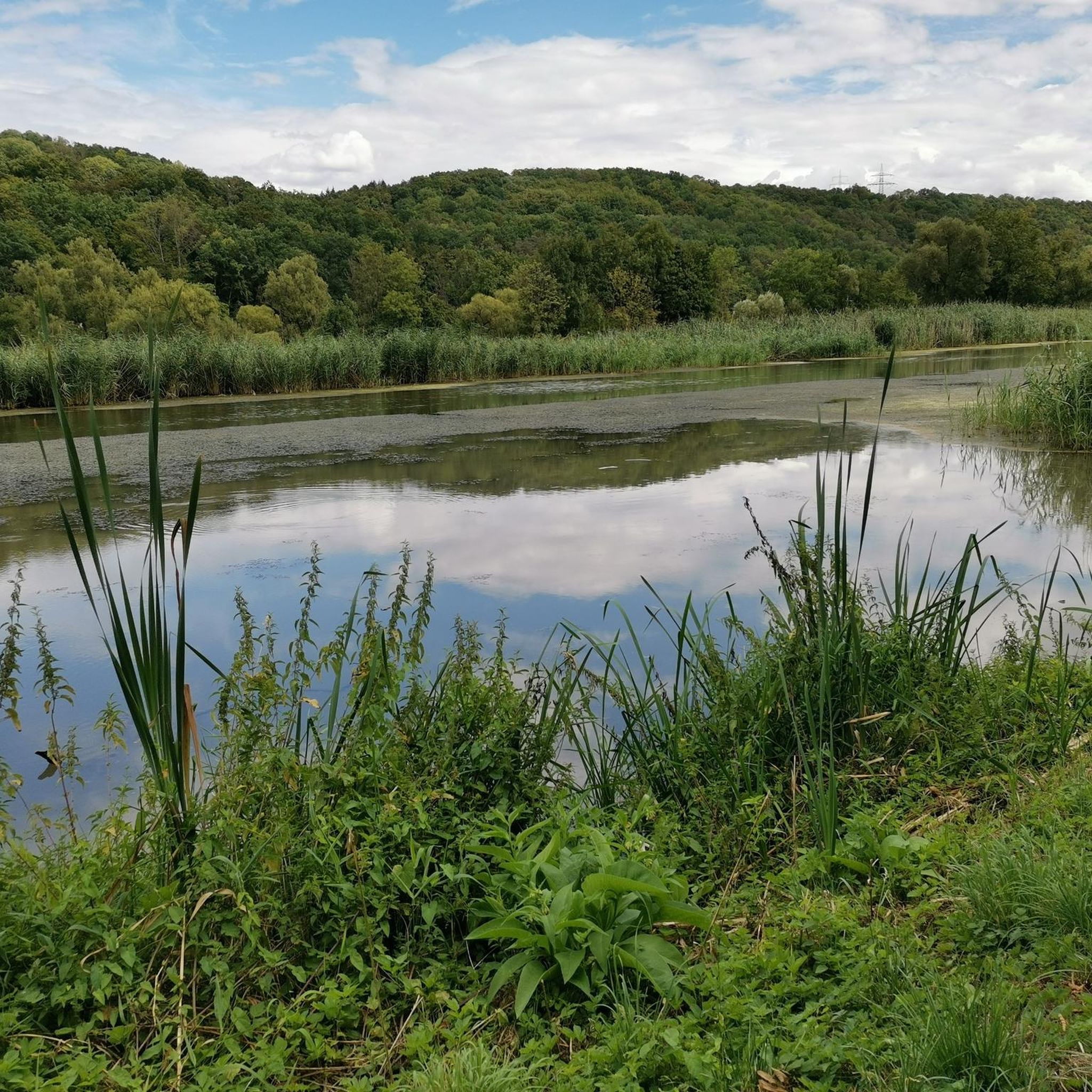
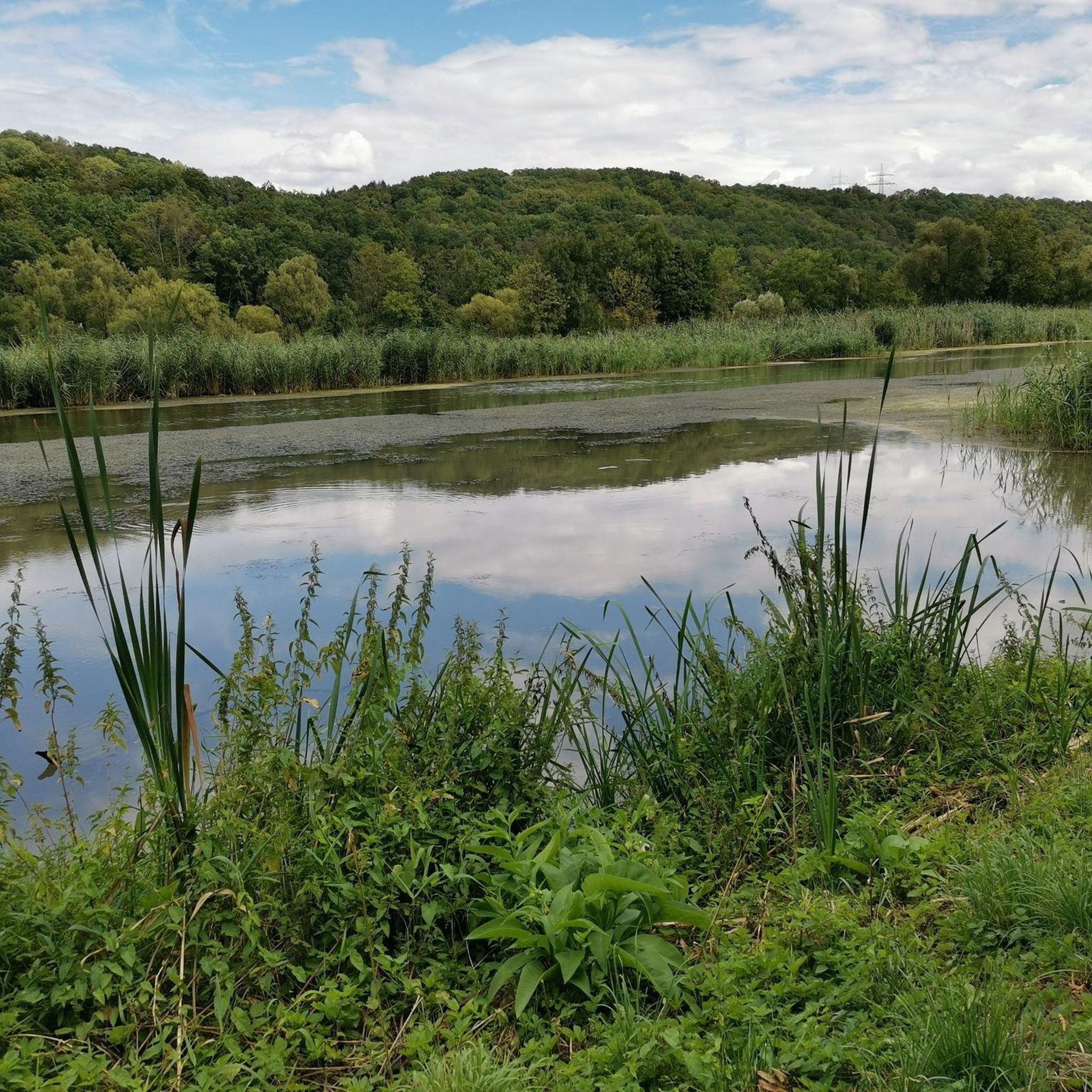
Hiking trails in Vogelhalde Sindringen-Ohrnberg traverse a 216-hectare nature reserve situated along the Kocher River in Baden-Württemberg, Germany. The region is characterized by the scenic Kocher Valley, featuring natural hillside forests on steep slopes and diverse ecosystems including floodplain forests. Hikers will encounter varied terrain, from riverine paths to former vineyard slopes now covered in semi-dry grasslands.
Best hiking trails in Vogelhalde Sindringen-Ohrnberg
- The most popular hiking route is Fischbach Creek loop from Vogelhalde Sindringen-Ohrnberg, a 3.0 miles (4.8…
Last updated: July 10, 2026
4.5
(4)
21
hikers
14.9km
04:08
260m
260m
Moderate hike. Good fitness required. Easily-accessible paths. Suitable for all skill levels.
4.5
(6)
28
hikers
10.00km
02:47
190m
190m
Moderate hike. Good fitness required. Easily-accessible paths. Suitable for all skill levels.

Sign up for free
3.0
(1)
11
hikers
Moderate hike. Good fitness required. Easily-accessible paths. Suitable for all skill levels.
4.0
(3)
17
hikers
14.4km
03:59
240m
240m
Moderate hike. Good fitness required. Easily-accessible paths. Suitable for all skill levels.
4.8
(4)
13
hikers
19.4km
05:14
260m
260m
Hard hike. Very good fitness required. Easily-accessible paths. Suitable for all skill levels.
Get access to more routes and recommendations from other explorers.
Sign up for free
Already have an account?
Our route recommendations are based on thousands of hikes, rides, and runs completed by other people on komoot.
Start today with a free account
Your next adventure awaits.
Login or Signup

Tips from the Community

Hydroelectric power plant in Sindringen Hohenlohe
0
0
Discovered the impressive tree while cycling
0
0
Town hall with fountain discovered while cycling
0
0
Information board discovered while cycling
0
0

Foundations of a Roman watchtower with an information panel and explanations about its function and construction.
5
0
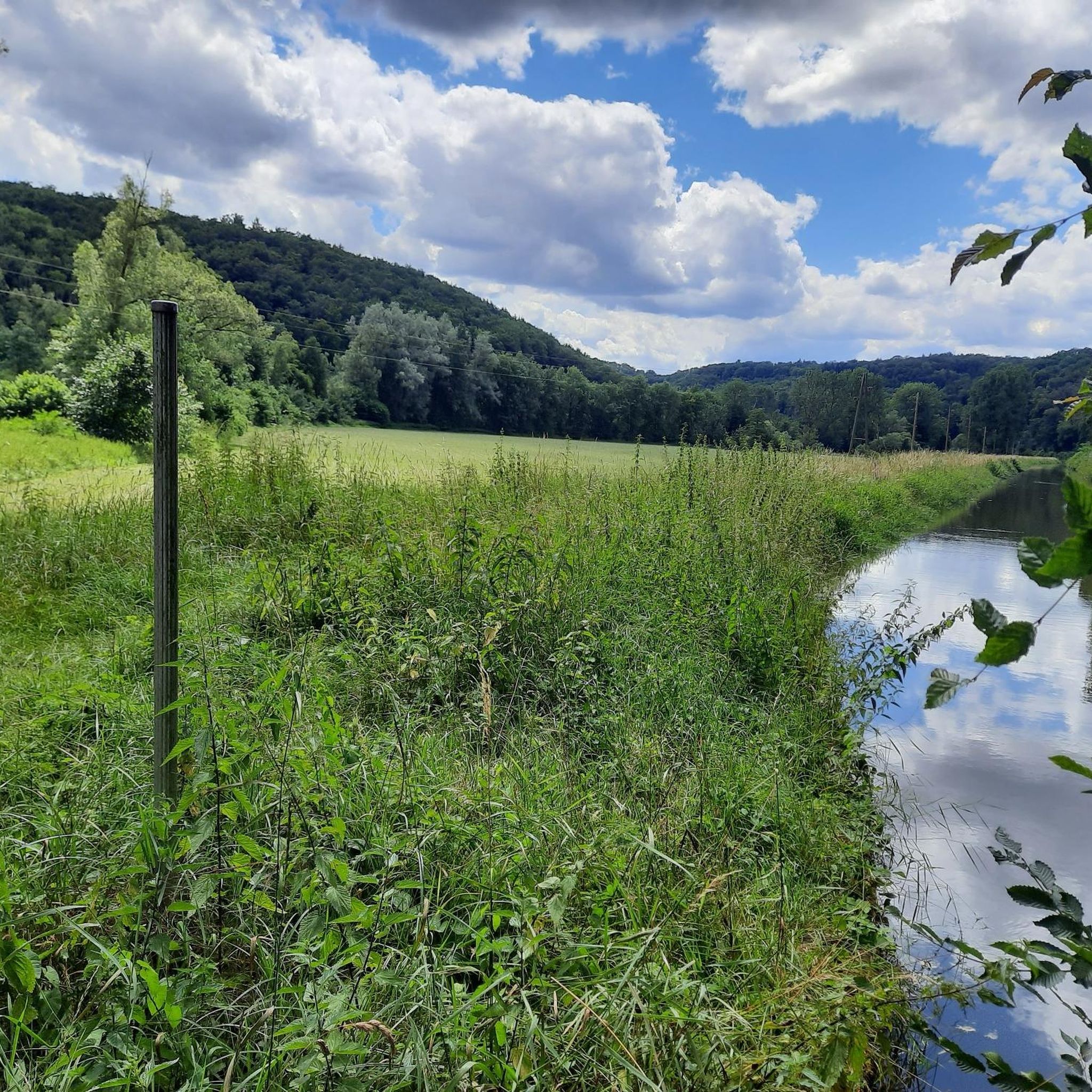
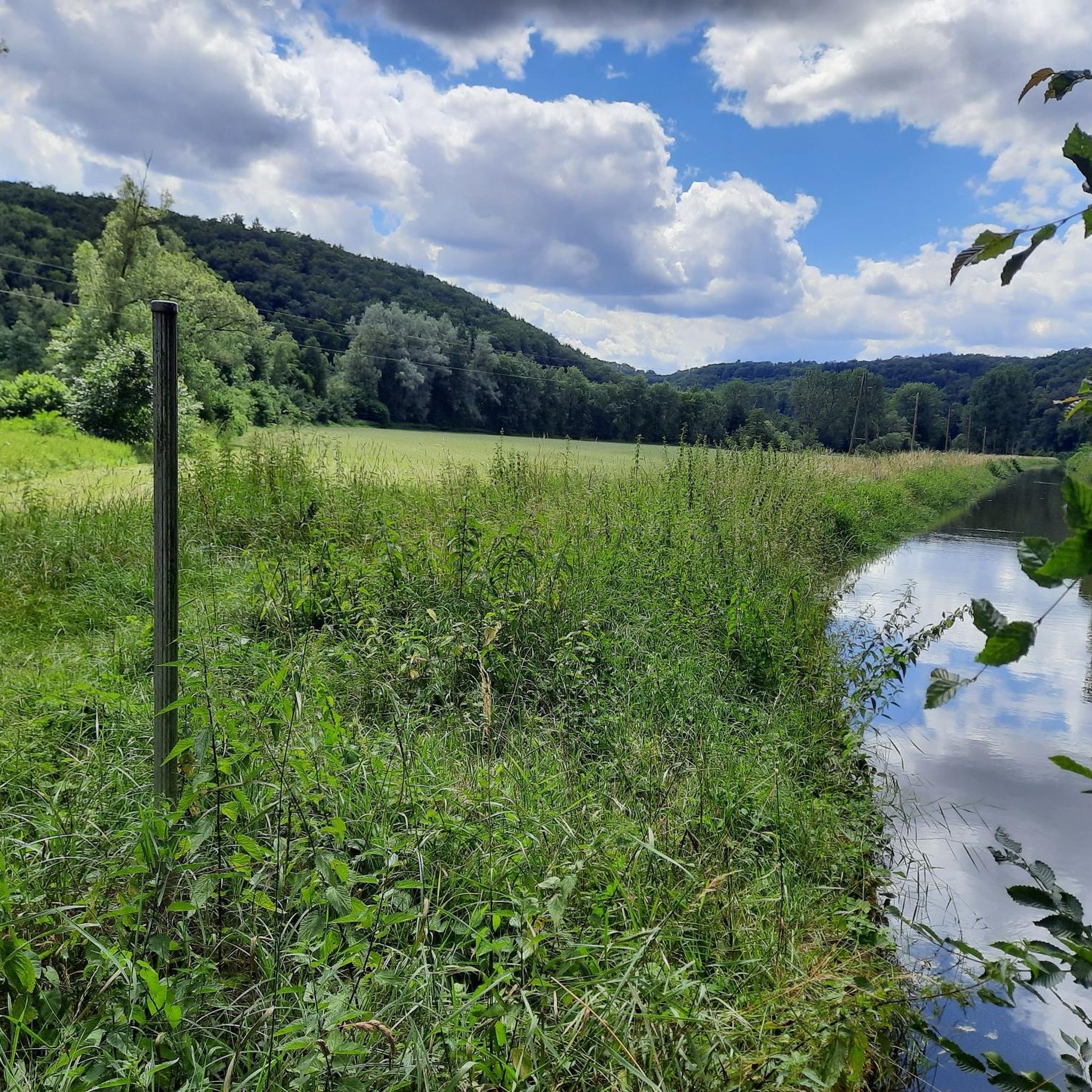
The Kocher Bridge spans the Kocher River with its weir and the Kocher Canal, just before the entrance to Sindringen. From here, you not only have a beautiful view of the waterway, but also of the town center of Sindringen.
5
0
The exact date of the castle's construction is undocumented. It is first mentioned in a document from 1328. However, the name Anselmus von Sindringen appears as early as 1094, suggesting that the castle was built around that time. The town and castle came under the control of Hohenlohe in 1328, five years after Forchtenberg had passed to Kraft von Hohenlohe. The castle then became the seat of Hohenlohe bailiffs and administrators. One of them was Konrad von Sindringen in 1345. The Sindringen noble family produced some respected men. However, some also succumbed to robber barons and subsequently disappeared from Hohenlohe.
5
0
Frequently Asked Questions
How many hiking trails are there in Vogelhalde Sindringen-Ohrnberg?
Vogelhalde Sindringen-Ohrnberg offers a comprehensive network of over 760 hiking routes. These trails cater to various preferences, ranging from easy strolls along the Kocher River to more challenging ascents through the hillside forests.
What do other hikers enjoy the most about hiking in Vogelhalde Sindringen-Ohrnberg?
The area is highly rated by the komoot community, with an average score of 4.5 stars from over 2,700 reviews. Hikers frequently praise the diverse natural landscapes, including the scenic Kocher Valley, the tranquil floodplain and hillside forests, and the unique semi-dry grasslands of the 'Mühlberg'. The rich birdlife, especially the grey heron colony, is also a significant draw.
What is the best time of year to hike in Vogelhalde Sindringen-Ohrnberg?
The reserve is beautiful year-round. Spring offers vibrant flora, especially orchids on the former vineyard slopes, and active birdlife. Summer provides lush green landscapes, while autumn transforms the hillside forests with colorful foliage. Even in winter, the trails along the Kocher River offer serene, peaceful walks.
Are there options for beginner hikers in Vogelhalde Sindringen-Ohrnberg?
Yes, there are plenty of easy routes suitable for beginners. For example, the Fischbach Creek loop from Vogelhalde Sindringen-Ohrnberg is an easy 3-mile (4.8 km) trail that follows the creek through natural landscapes, taking about 1 hour 20 minutes to complete.
Are there any challenging hikes in Vogelhalde Sindringen-Ohrnberg?
While the majority of routes are easy to moderate, there are 22 more challenging hikes available. These often involve steeper ascents through the natural hillside forests, offering more strenuous options for experienced hikers looking for a greater physical challenge.
Can I bring my dog on the trails in Vogelhalde Sindringen-Ohrnberg?
Yes, many trails in Vogelhalde Sindringen-Ohrnberg are dog-friendly. The diverse landscapes, from river paths to forest trails, provide varied environments for walks with your canine companion. Please ensure your dog is kept on a leash, especially in areas with wildlife or grazing animals like the Buren goats and Highland cattle on the 'Mühlberg'.
Are there any family-friendly hiking routes?
Absolutely. The reserve offers numerous routes suitable for families. Shorter, easier loops along the Kocher River or through the floodplain forests are ideal for children. The opportunity to observe diverse birdlife, including grey herons, and the unique landscape of the 'Mühlberg' with its grazing animals, can make for an engaging family outing.
Are there circular hiking routes available?
Yes, many of the hiking routes in Vogelhalde Sindringen-Ohrnberg are circular, allowing you to start and end at the same point. An example is the Kocher River in Sindringen – Sindringen Castle loop from Ohrnberg, a moderate 7.5-mile (12.1 km) path that offers scenic views and passes by historical points of interest.
What kind of wildlife can I expect to see while hiking?
Vogelhalde Sindringen-Ohrnberg is renowned for its rich birdlife. It hosts one of the largest grey heron colonies in the Stuttgart administrative district, and you might also spot silver herons, red and black kites, little grebes, and kingfishers, especially around the small reservoir with its reed beds. The semi-dry grasslands are home to various butterfly species.
Are there any interesting landmarks or natural features to see along the trails?
Hikers can explore several unique features. The Kocher Canal, a man-made feature diverting water for hydropower, offers an interesting blend of nature and engineering. The 'Mühlberg' with its species-rich semi-dry grasslands maintained by grazing goats and cattle is also a notable natural landmark. Additionally, the Sindringen-Ohrnberg Hydroelectric Power Plant is a point of interest.
Where can I park when visiting Vogelhalde Sindringen-Ohrnberg for a hike?
Parking facilities are typically available near the main access points to the nature reserve, particularly in and around the villages of Sindringen and Ohrnberg. Specific parking areas are often signposted at trailheads, providing convenient access to the hiking network.
Is Vogelhalde Sindringen-Ohrnberg accessible by public transport?
Yes, the villages of Sindringen and Ohrnberg, which border the nature reserve, are generally accessible by public transport, primarily bus services. Checking local bus schedules for connections to these villages will help you plan your visit without a car.
Are there any cafes or places to eat near the hiking trails?
While the nature reserve itself is primarily undeveloped, the nearby villages of Sindringen and Ohrnberg offer local eateries, guesthouses, and cafes where you can find refreshments and meals before or after your hike. It's advisable to check opening hours in advance.
What are the typical lengths of hikes in Vogelhalde Sindringen-Ohrnberg?
Hikes in the region vary significantly in length. You can find shorter routes, such as the Fischbach Creek loop at around 3 miles (4.8 km), perfect for a quick outing. Longer, moderate trails like the St. Michael's Church, Ohrnberg – Fischbach Creek loop extend to about 6.6 miles (10.7 km), offering a more extensive exploration of the area.
Most popular routes in Vogelhalde Sindringen-Ohrnberg
Most popular attractions in Vogelhalde Sindringen-Ohrnberg

Get inspired with the komoot mobile app


Explore more
Browse the best Hikes in other regions.
