The best walks and hikes in Buchenwälder Und Wiesentäler Des Nordsteigerwalds
4.5
(8451)
30,938
hikers
132
hikes
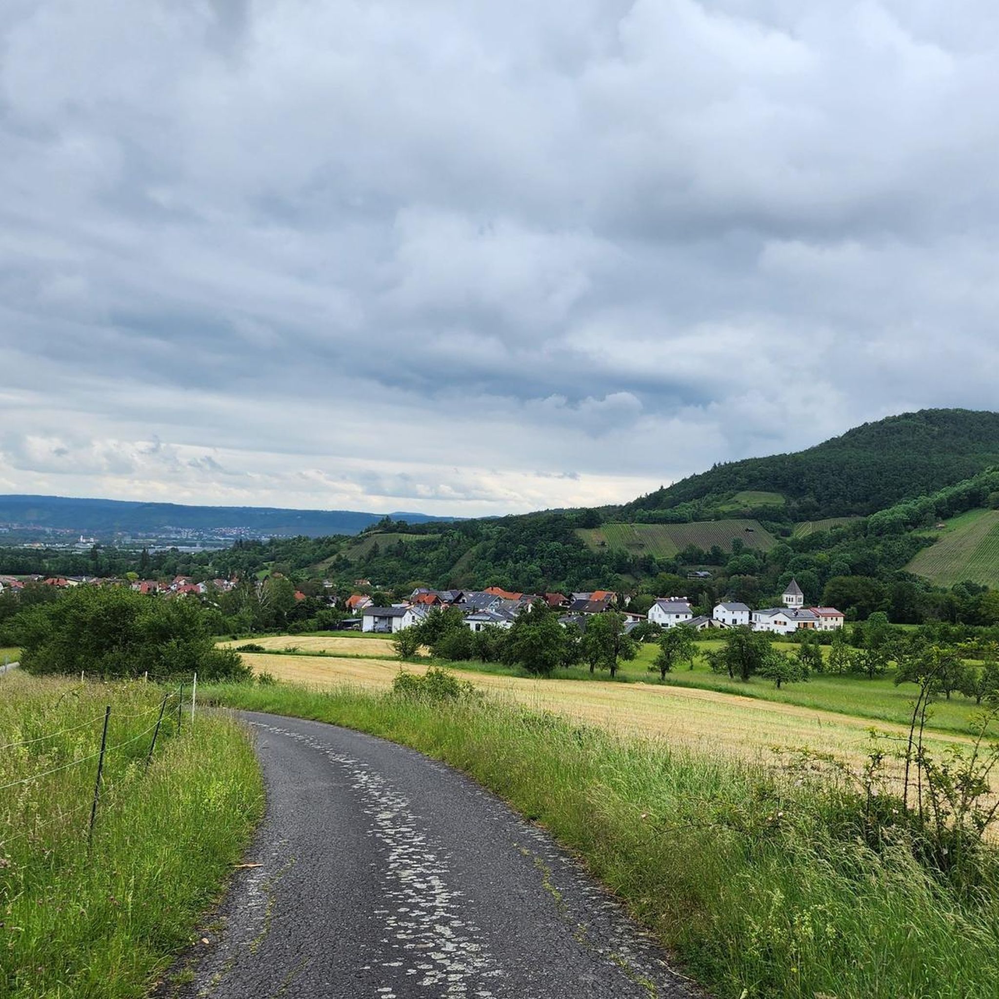
Hiking in Buchenwälder Und Wiesentäler Des Nordsteigerwalds offers diverse trails through extensive beech forests and picturesque meadow valleys. The region is characterized by ancient woodlands, some with trees over 200 years old, interspersed with wetlands, bogs, and small ponds. Lone mountains in the south and an almost uninterrupted mountain crest in the north, including Zabelstein Mountain, provide varied terrain and panoramic views. Geologically, the area features heavy Keuper clay soils and fluvial deposits in stream valleys.
Best hiking trails in…
Last updated: August 7, 2026
4.8
(276)
796
hikers
Moderate hike. Good fitness required. Easily-accessible paths. Suitable for all skill levels.
4.7
(66)
167
hikers
7.08km
02:01
160m
160m
Moderate hike. Good fitness required. Easily-accessible paths. Suitable for all skill levels.

Sign up for free
4.7
(86)
264
hikers
Moderate hike. Good fitness required. Easily-accessible paths. Suitable for all skill levels.
4.4
(22)
102
hikers
Moderate hike. Good fitness required. Easily-accessible paths. Suitable for all skill levels.
4.7
(26)
109
hikers
9.57km
02:41
190m
190m
Moderate hike. Good fitness required. Easily-accessible paths. Suitable for all skill levels.
Get access to more routes and recommendations from other explorers.
Sign up for free
Already have an account?
Our route recommendations are based on thousands of hikes, rides, and runs completed by other people on komoot.
Start today with a free account
Your next adventure awaits.
Login or Signup
Popular around Buchenwälder Und Wiesentäler Des Nordsteigerwalds

Steigerwald panorama trail — 9 days
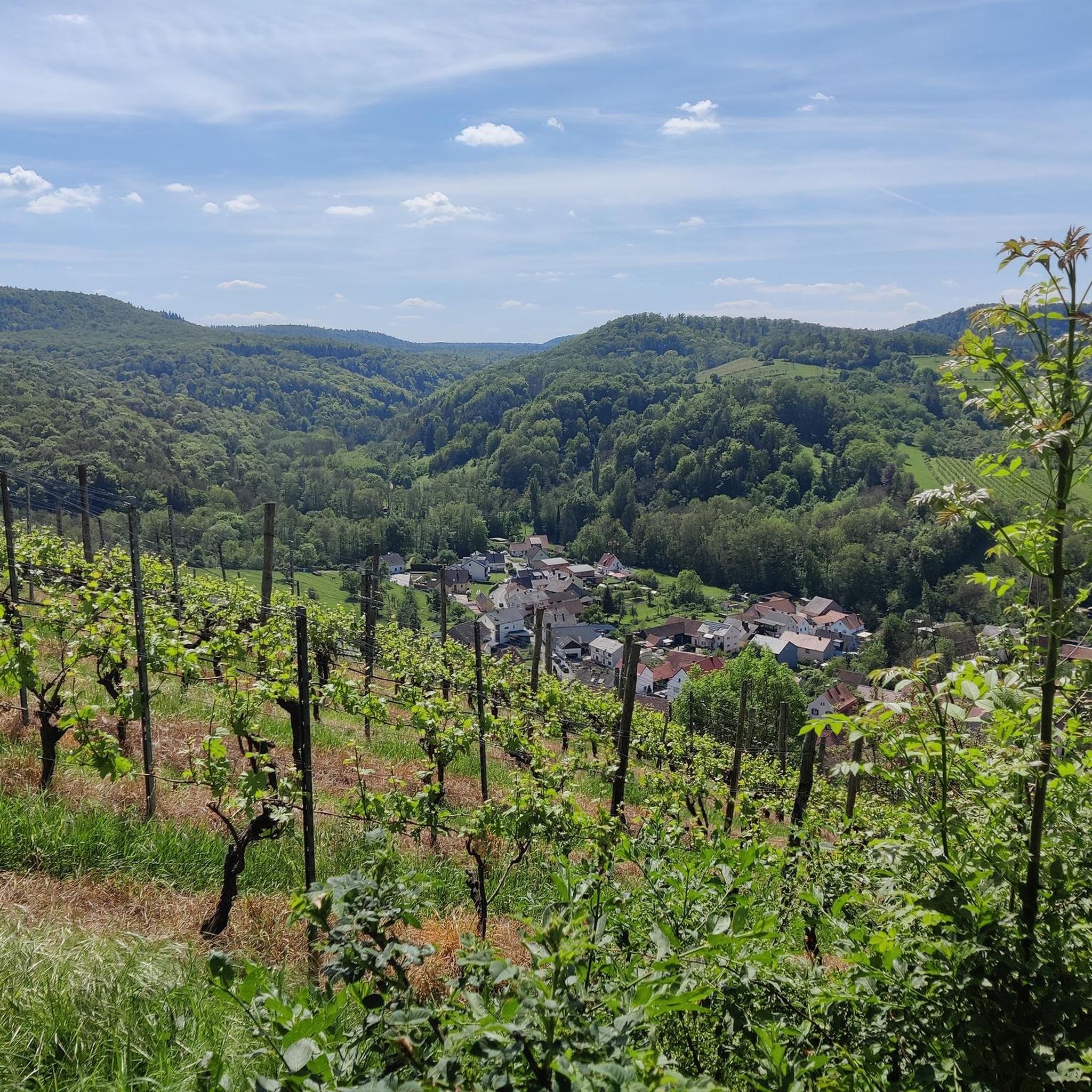
Cycling in Buchenwälder Und Wiesentäler Des Nordsteigerwalds
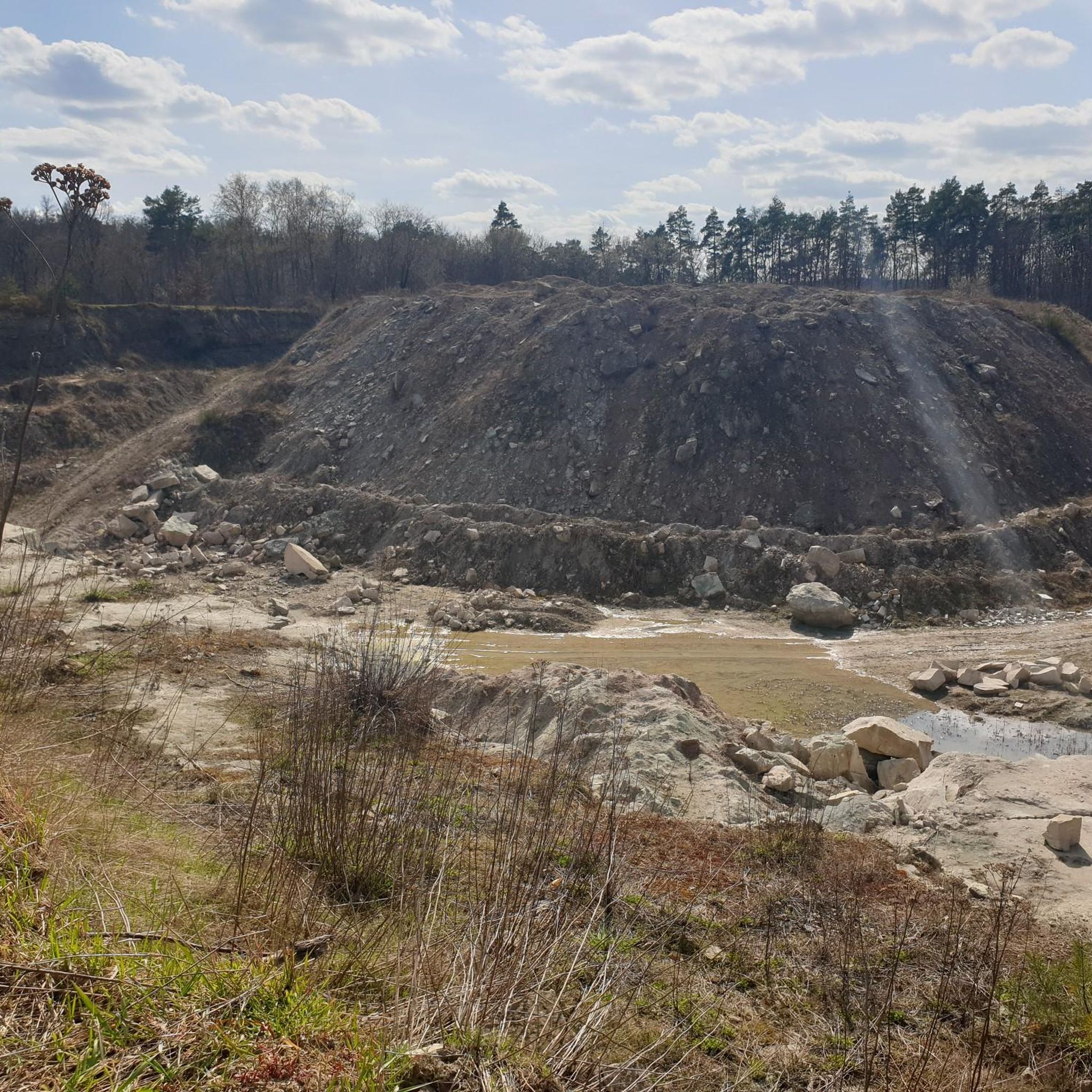
MTB Trails in Buchenwälder Und Wiesentäler Des Nordsteigerwalds
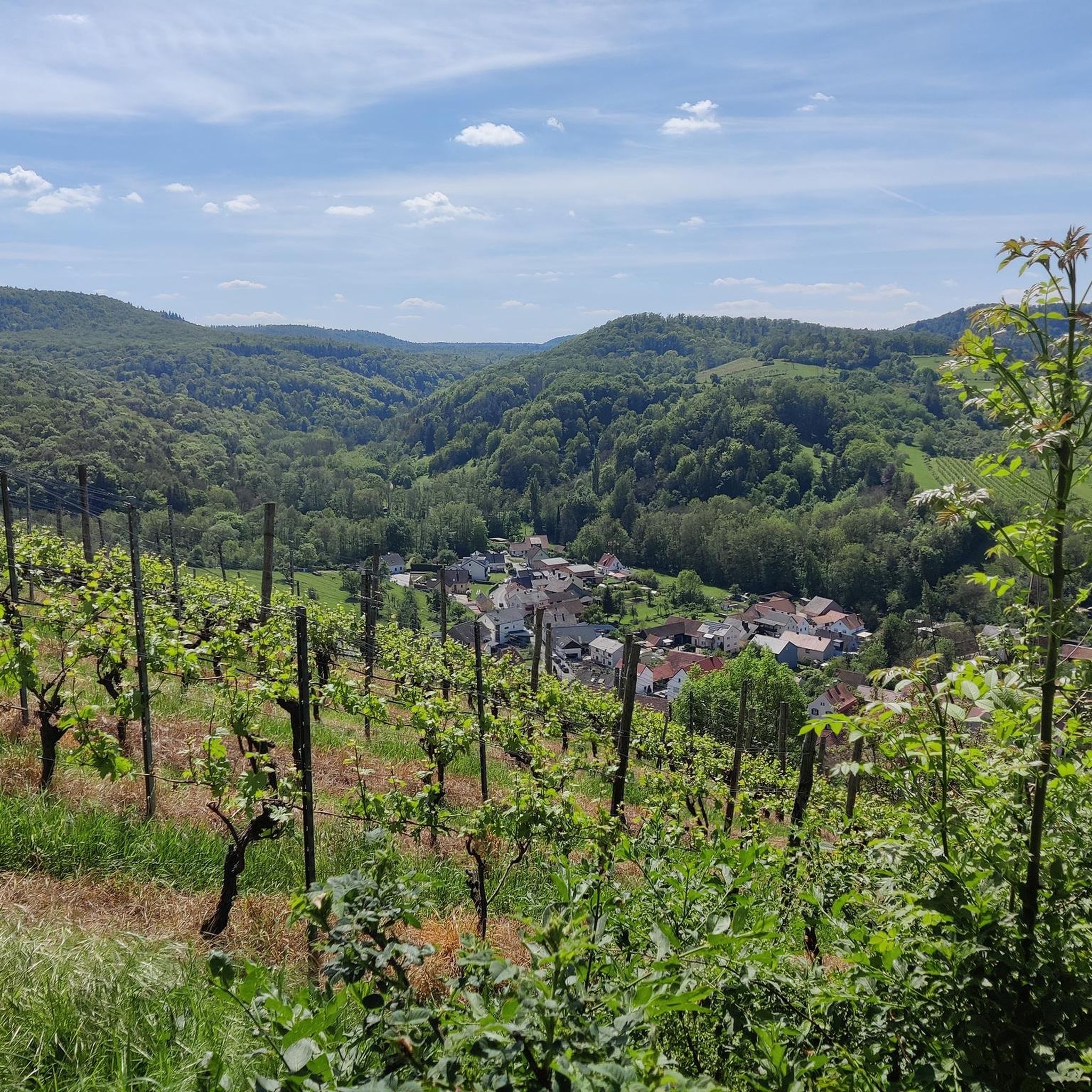
Road Cycling Routes in Buchenwälder Und Wiesentäler Des Nordsteigerwalds
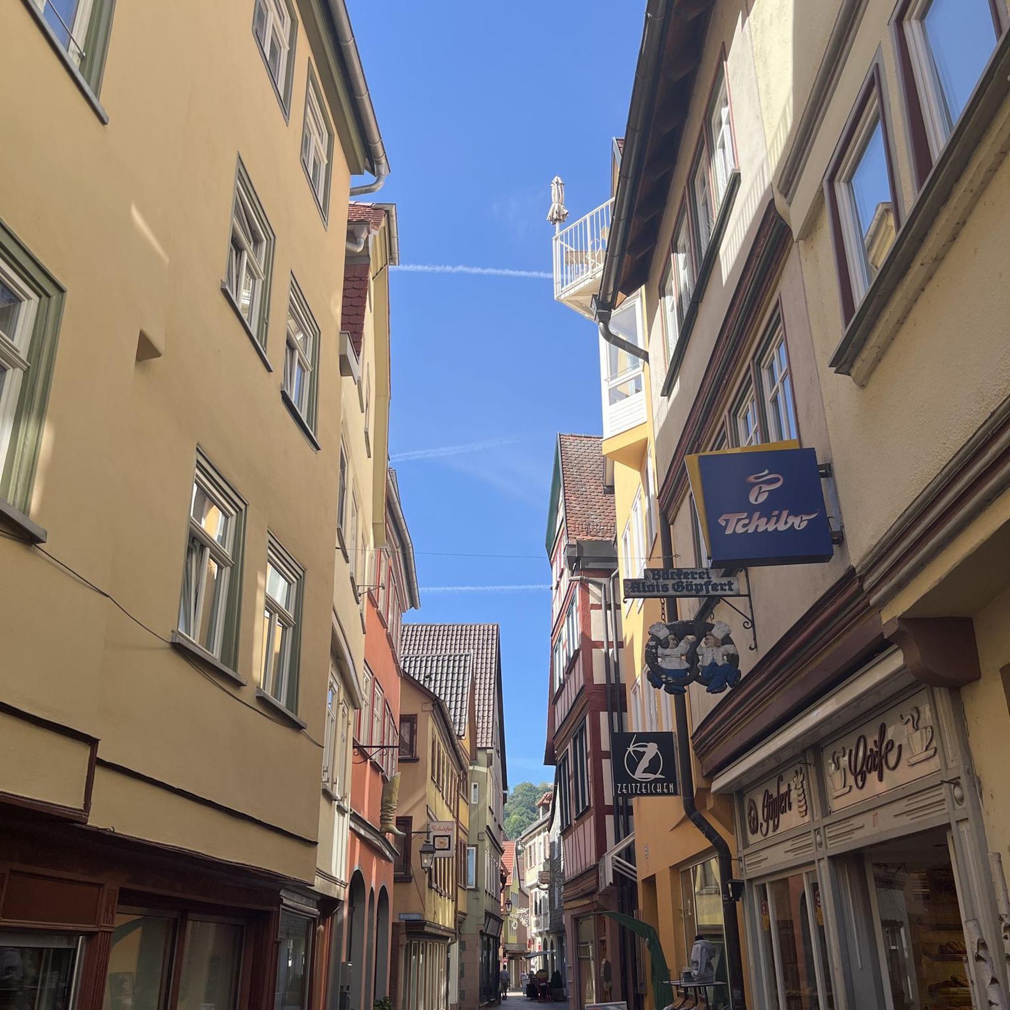
Gravel biking in Buchenwälder Und Wiesentäler Des Nordsteigerwalds
Running Trails in Buchenwälder Und Wiesentäler Des Nordsteigerwalds
Other adventures in Buchenwälder Und Wiesentäler Des Nordsteigerwalds

Tips from the Community

Quiet route to ride, but watch out for hikers.
0
0

Here you can take a break
1
0

Large parking lot with toilet blocks, no trash cans
0
0
Good starting point for Zabelstein and its trails
0
0

Very nice to ride on a gravel bike.
0
0

The farms first documented in the 14th century belonged to the nearby Zabelstein Castle complex. However, agricultural conditions on the ridge were not favorable, and the farms were abandoned around 1840. Remains include the preserved cistern, the dried-up village pond, and some remains of walls. The fields and meadows are now all overgrown with forests.
3
0
At just under 20 meters, the Zabelstein observation tower isn't all that tall, but its gratings in the floor and on the balustrade create a somehow incredibly airy feeling. The view is fantastic. Even if you can't see the Main River itself, you still have a wonderful view of the Main Valley. On a clear day, the Thuringian Forest, the Gramschatz Forest, and Franconian Switzerland can be seen on the horizon. The tower is the great-grandchild of the first observation tower on Zabelstein. The first tower (1956-1978) resembled a 15-meter-high hunter's lodge. The second (1978-1999) and third towers (1999-2019) were also made of wood. The new tower, erected in 2020, is the aforementioned grating structure, framed by wooden struts that widen outwards.
3
0
Frequently Asked Questions
How many hiking trails are available in Buchenwälder Und Wiesentäler Des Nordsteigerwalds?
The Buchenwälder Und Wiesentäler Des Nordsteigerwalds region offers a wide variety of hiking experiences, with over 120 trails documented on komoot. These range from easy strolls to more challenging routes, ensuring there's something for every hiker.
What makes the Buchenwälder Und Wiesentäler Des Nordsteigerwalds unique for hiking?
This region is renowned for its extensive, ancient beech forests, some featuring trees over 200 years old, and picturesque meadow valleys. It's a Natura 2000 FFH-Gebiet, highlighting its ecological significance. You'll find diverse landscapes including wetlands, bogs, and small ponds, alongside lone mountains and an almost uninterrupted mountain crest offering panoramic views.
Are there easy hiking trails suitable for families or beginners?
Yes, the region is well-suited for families and beginners, with 59 easy routes available. An excellent option is the idyllic Böhlbach Valley – Wild Garlic Valley loop from Waldabteilung Wotansborn, which is an easy and scenic hike through the Böhlbachtal.
Are there any historical sites or scenic viewpoints to explore?
Absolutely. A prominent historical site is the Zabelstein Castle Ruins, which was once an important episcopal seat. The Zabelstein mountain itself offers magnificent panoramic views of Franconia. You can explore this area on the Zabelstein Castle Ruins – Zabelstein Viewing Tower loop from Burgruine Zabelstein.
Can I find trails that lead past lakes or water features?
Yes, the region features numerous small ponds and wetlands. You can find trails that pass by the Tretzendorf Ponds, which also have an observation platform. The Böhlbach Valley is also recognized for its moist environments and high biodiversity.
Are there circular hiking routes in the region?
Many of the trails in Buchenwälder Und Wiesentäler Des Nordsteigerwalds are designed as circular routes, allowing you to start and end at the same point. Examples include the Böhlbach Valley – Wild Garlic Valley loop and the Zabelstein Castle Ruins – Zabelstein Viewing Tower loop.
Is parking readily available at trailheads?
While specific parking information for every trailhead isn't provided, many popular starting points for hikes in the Steigerwald Nature Park, including those near attractions like Zabelstein Castle Ruins or Zell am Ebersberg, typically offer designated parking areas for hikers. It's always advisable to check local signage upon arrival.
Are dogs allowed on the hiking trails?
Generally, dogs are welcome on hiking trails in the Buchenwälder Und Wiesentäler Des Nordsteigerwalds, especially within the nature park. However, it's crucial to keep them on a leash, particularly in sensitive natural areas, near wildlife, or when passing through agricultural land, to protect both your pet and the local ecosystem.
What do other hikers enjoy most about the trails in Buchenwälder Und Wiesentäler Des Nordsteigerwalds?
The trails in Buchenwälder Und Wiesentäler Des Nordsteigerwalds are highly rated by the komoot community, with an average score of 4.5 stars from over 1000 reviews. Hikers frequently praise the tranquility of the ancient beech forests, the diverse landscapes of meadow valleys, and the rewarding panoramic views from elevated points like Zabelstein.
Are there any particularly unique or themed trails in the region?
Yes, the region offers unique experiences like the Waldgeisterweg Theinheim, an enchanted sculpture path adorned with wooden figures that adds a whimsical element to your hike. This trail provides a different kind of engagement with the forest environment.
What is the best time of year to go hiking in the Buchenwälder Und Wiesentäler Des Nordsteigerwalds?
The Buchenwälder Und Wiesentäler Des Nordsteigerwalds is beautiful year-round. Spring offers vibrant wild garlic and fresh green foliage, while autumn transforms the beech forests into a spectacular display of colors. Summer provides lush greenery, and even winter can be magical with snow-covered landscapes, though some trails might be more challenging.
Are there opportunities for refreshments or places to eat along the trails?
While the region is primarily natural, some villages and towns near popular trailheads, such as Zell am Ebersberg, offer traditional Franconian inns and restaurants where you can enjoy local cuisine and refreshments after your hike. It's a good idea to plan your route to pass through or near these locations if you're looking for a meal.
Most popular routes in Buchenwälder Und Wiesentäler Des Nordsteigerwalds
Most popular attractions in Buchenwälder Und Wiesentäler Des Nordsteigerwalds

Get inspired with the komoot mobile app


Explore more
Browse the best Hikes in other regions.
