Reiterswiesener Höhe-Häuserlohwäldchen
Reiterswiesener Höhe-Häuserlohwäldchen
The best walks and hikes in Reiterswiesener Höhe-Häuserlohwäldchen
4.6
(7338)
27,907
hikers
1,070
hikes
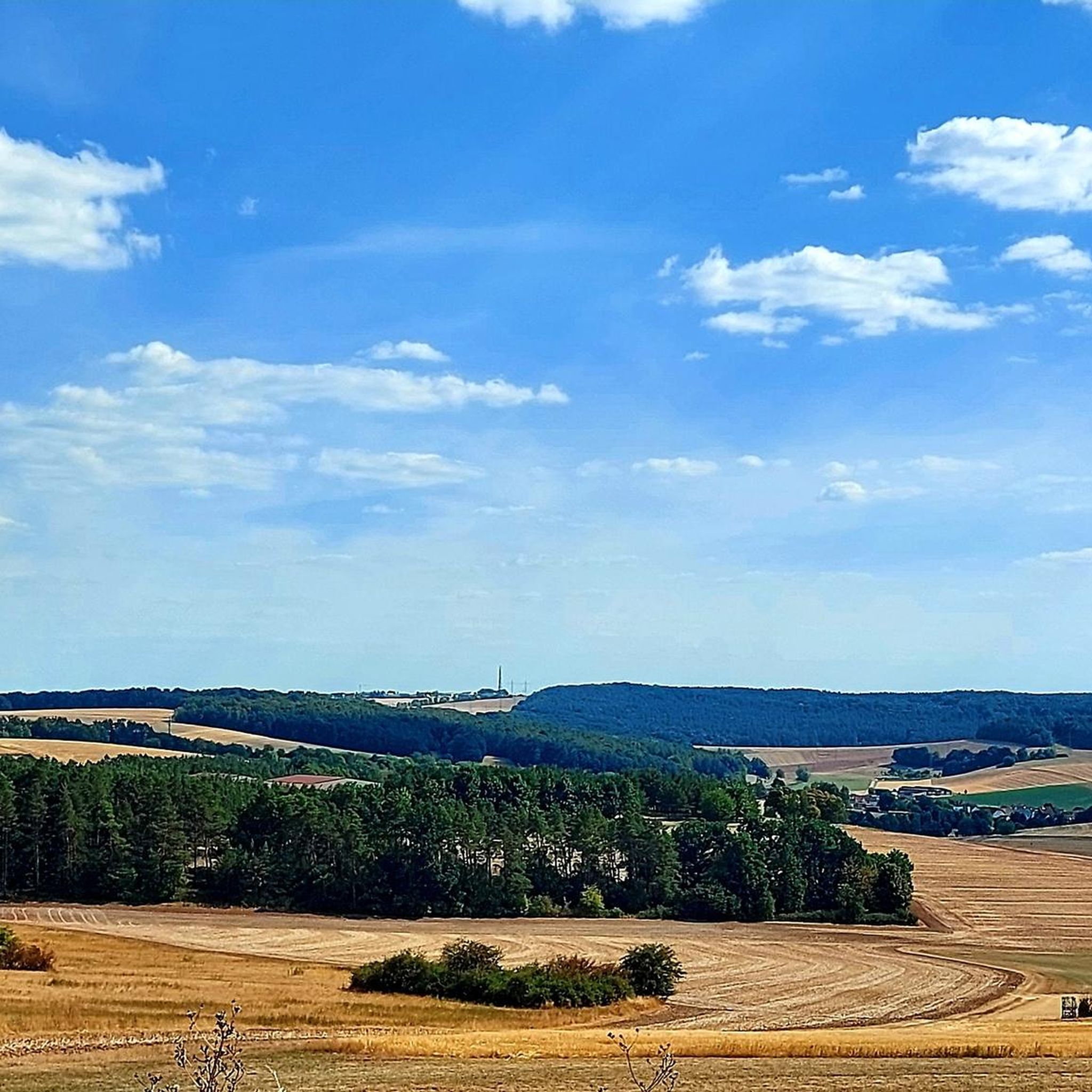
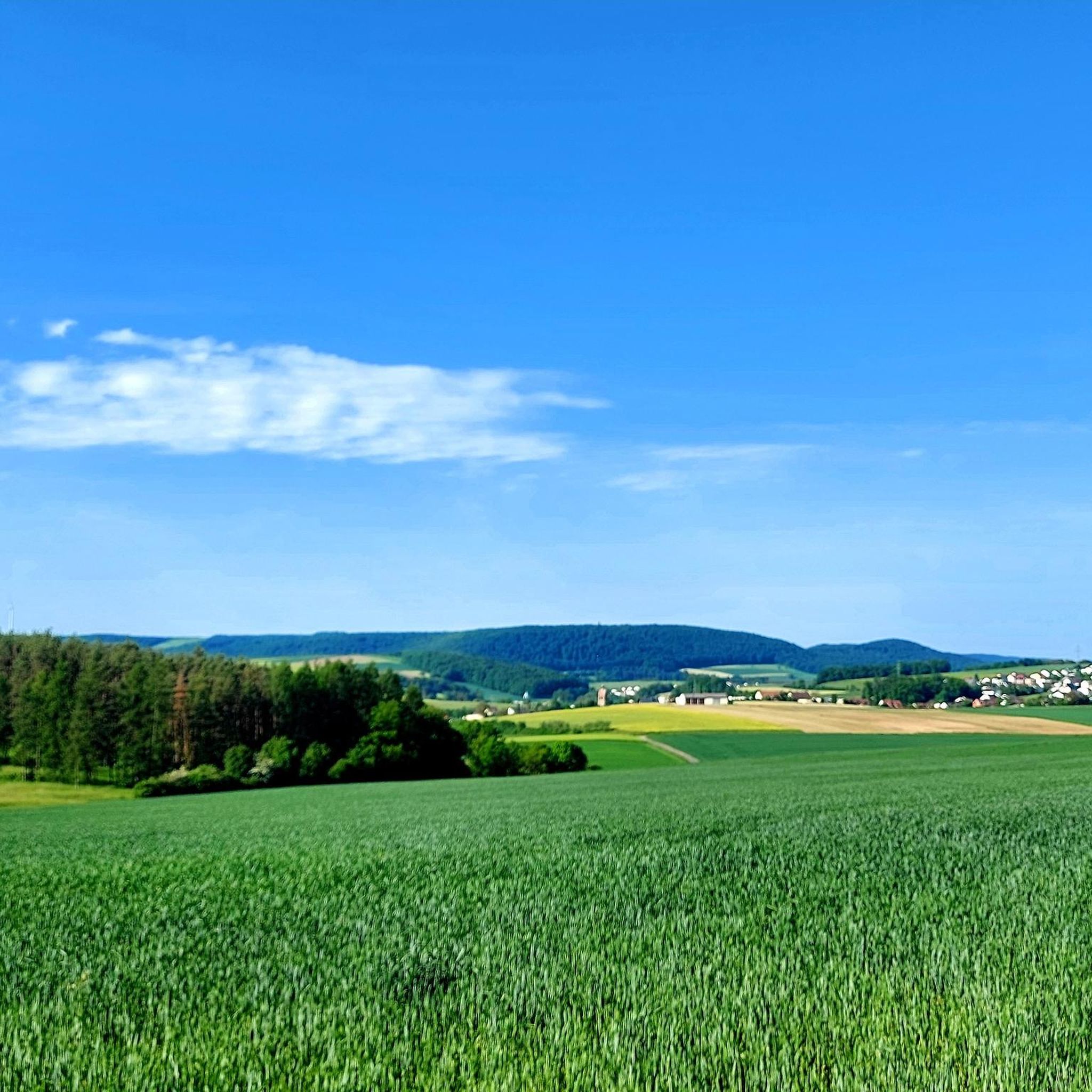
Hiking in Reiterswiesener Höhe-Häuserlohwäldchen offers access to a nature reserve in Lower Franconia, Germany, characterized by diverse landscapes. The area, formerly a military training ground, features a well-developed network of paths. Habitats include dry grasslands and beech forests, supporting a variety of plant and animal species. The terrain provides options for various fitness levels, from gentle paths to more challenging routes.
Best hiking trails in Reiterswiesener Höhe-Häuserlohwäldchen
- The most popular hiking route is DBU Natural Heritage Reiterswiesen loop from Reiterswiesener Höhe-Häuserlohwäldchen, a 2.4 miles (3.9 km) trail that takes 1 hour 4 minutes to complete. This easy route explores the natural heritage areas.
- Another top favourite among local hikers is Nüdlingen Natural Cemetery – Bildeiche loop from Grundwiese (Hornwiese), an easy 2.4 miles (3.9 km) path. This trail passes through natural cemetery grounds and features the Bildeiche.
- Local hikers also love the Shaded trail along the forest edge loop from Reiterswiesener Höhe-Häuserlohwäldchen, a 3.1 miles (4.9 km) trail leading through shaded forest edges, often completed in about 1 hour 17 minutes.
- Hiking in Reiterswiesener Höhe-Häuserlohwäldchen is defined by dry grasslands, dense beech forests, and varied terrain from its former military use. The network of paths offers options for different ability levels, from easy strolls to more demanding hikes.
- The routes in Reiterswiesener Höhe-Häuserlohwäldchen are highly rated by the komoot community with an average score of 4.6 stars from over 6,500 reviews. More than 26,000 hikers have used komoot to explore Reiterswiesener Höhe-Häuserlohwäldchen's varied terrain.
Last updated: July 15, 2026
5.0
(3)
10
hikers
Moderate hike. Good fitness required. Easily-accessible paths. Suitable for all skill levels.
3.0
(1)
10
hikers
Easy hike. Great for any fitness level. Easily-accessible paths. Suitable for all skill levels.

Sign up for free
11
hikers
Easy hike. Great for any fitness level. Easily-accessible paths. Suitable for all skill levels.
4.7
(10)
27
hikers
Easy hike. Great for any fitness level. Easily-accessible paths. Suitable for all skill levels.
4.5
(8)
20
hikers
12.6km
03:24
160m
160m
Moderate hike. Good fitness required. Easily-accessible paths. Suitable for all skill levels.
Get access to more routes and recommendations from other explorers.
Sign up for free
Already have an account?
Our route recommendations are based on thousands of hikes, rides, and runs completed by other people on komoot.
Start today with a free account
Your next adventure awaits.
Login or Signup
Popular around Reiterswiesener Höhe-Häuserlohwäldchen
Tips from the Community

Mostly quite good ground surface
0
0


Imposing centuries-old natural monument!
1
0
Idyllic "Bahnwärterhäuschen" Bahnposten 12, located high above the Schweinfurt - Meiningen railway line, which is now without function for train operations.
0
0

A very old tree that is well worth seeing.
2
0

Parking lot for the cemetery. Many hiking trails from here.
0
0
Frequently Asked Questions
How many hiking trails are available in Reiterswiesener Höhe-Häuserlohwäldchen?
There are over 1000 hiking trails in Reiterswiesener Höhe-Häuserlohwäldchen. The area offers a wide range of options, from easy strolls to more challenging routes, catering to various fitness levels.
What kind of terrain and difficulty can I expect on the trails?
The terrain in Reiterswiesener Höhe-Häuserlohwäldchen is diverse, featuring dry grasslands and dense beech forests. Many paths are well-developed due to its past as a military training ground. You'll find a mix of easy routes (over 600), moderate trails (over 400), and a smaller number of more difficult hikes (around 30), ensuring options for all abilities.
Are there family-friendly hiking options in Reiterswiesener Höhe-Häuserlohwäldchen?
Yes, Reiterswiesener Höhe-Häuserlohwäldchen offers many family-friendly hiking options, particularly among its over 600 easy routes. These trails often pass through varied landscapes like grasslands and forests, providing an engaging experience for children. An example is the Adventure Playground – Nüdlingen Natural Cemetery loop from Nüdlingen, which is an easy 7.3 km trail.
Can I bring my dog on the hiking trails?
As a nature reserve, Reiterswiesener Höhe-Häuserlohwäldchen generally welcomes dogs, but it's crucial to keep them on a leash to protect the local wildlife and plant species. Always ensure your dog is under control and respect any specific signage regarding protected areas.
What natural features or landmarks can I discover while hiking?
Reiterswiesener Höhe-Häuserlohwäldchen is rich in natural features. You can explore the diverse habitats of the Reiterswiesener Höhe–Häuserlohwäldchen Nature Reserve itself, known for its dry grasslands and beech forests. Other points of interest include the Wurmberg-Possenberg Plateau, offering potential viewpoints, and the 'house loh grove', noted for its typical flora and fauna.
Are there any historical sites to see in the area?
Yes, the area has a unique history as a former military training ground until 1994. You can visit the Former US missile base Reiterswiesener Höhe-Häuserlohwäldchen, which offers a glimpse into this past. The transformation from military use to a nature reserve in 2000 is a significant part of the region's story.
What do other hikers enjoy most about hiking in Reiterswiesener Höhe-Häuserlohwäldchen?
The area is highly rated by the komoot community, with an average score of 4.6 stars from over 6,500 reviews. Hikers often praise the diverse landscapes, the well-developed network of paths, and the opportunity to experience nature in a preserved setting, from open grasslands to dense beech forests.
Are there circular hiking routes available?
Many of the trails in Reiterswiesener Höhe-Häuserlohwäldchen are designed as circular routes, allowing you to start and end at the same point. An example is the Picture oak – Hainberg Tower loop from Naturwaldreservat Dianensruh, a moderate 12.1 km trail.
Is there public transport access to Reiterswiesener Höhe-Häuserlohwäldchen?
While the nature reserve is primarily accessed by car, some nearby towns like Bad Kissingen may offer public transport connections. It's advisable to check local bus schedules to see if there are stops conveniently located near trailheads.
Are there places to eat or stay near the hiking trails?
Reiterswiesener Höhe-Häuserlohwäldchen is located near towns like Bad Kissingen and Nüdlingen. These towns offer various amenities, including cafes, restaurants, and accommodation options, where you can relax and refuel after your hike.
What is the best time of year to visit Reiterswiesener Höhe-Häuserlohwäldchen for hiking?
The diverse habitats of dry grasslands and beech forests make Reiterswiesener Höhe-Häuserlohwäldchen appealing throughout the year. Spring and autumn offer pleasant temperatures and vibrant colors, while summer provides lush greenery. Even in winter, the well-developed paths can be suitable for hiking, depending on snow conditions.
Are there any trails that offer a shaded experience?
Yes, the reserve features dense beech forests which provide ample shade, especially welcome during warmer months. A popular option is the Shaded trail along the forest edge loop from Reiterswiesener Höhe-Häuserlohwäldchen, an easy 4.9 km route that leads through these cooler, forested areas.
Most popular routes in Reiterswiesener Höhe-Häuserlohwäldchen
Most popular attractions in Reiterswiesener Höhe-Häuserlohwäldchen

Get inspired with the komoot mobile app


Explore more
Browse the best Hikes in other regions.
