The best walks and hikes in Trockengebiete Bei Machtilshausen
4.6
(6061)
21,530
hikers
769
hikes
Hiking trails in Trockengebiete Bei Machtilshausen traverse a unique landscape characterized by dry grasslands, juniper heaths, and panoramic views of the Franconian Saale valley. The region features diverse environments, including picturesque vineyards and dense forests. Historical lime kilns are integrated into some routes, offering cultural insights. These trails provide varied experiences across sun-exposed slopes and wooded areas.
Best hiking trails in Trockengebiete Bei Machtilshausen
- The most popular hiking route is View of the Saale Valley – View of Trimburg Castle…
Last updated: July 15, 2026
4.7
(50)
200
hikers
9.59km
02:46
240m
230m
Moderate hike. Good fitness required. Mostly accessible paths. Sure-footedness required.
4.7
(15)
51
hikers
5.99km
01:44
150m
160m
Moderate hike. Great for any fitness level. Mostly accessible paths. Sure-footedness required.

Sign up for free
4.8
(13)
46
hikers
5.41km
01:35
140m
140m
Moderate hike. Great for any fitness level. Mostly accessible paths. Sure-footedness required.
4.8
(15)
45
hikers
Moderate hike. Good fitness required. Mostly accessible paths. Sure-footedness required.
5.0
(3)
21
hikers
3.31km
00:59
110m
110m
Easy hike. Great for any fitness level. Easily-accessible paths. Suitable for all skill levels.
Get access to more routes and recommendations from other explorers.
Sign up for free
Already have an account?
Our route recommendations are based on thousands of hikes, rides, and runs completed by other people on komoot.
Start today with a free account
Your next adventure awaits.
Login or Signup
Tips from the Community

Trimburg, or Trimberg Castle, is the ruin of a medieval hilltop castle belonging to the Lords of Trimberg, east of the village of the same name, a part of the municipality of Elfershausen in Lower Franconia in the Bad Kissingen district of Bavaria, Germany.[1] The ruins are visible from afar, about 60 meters above the Franconian Saale River on the Pfaffenberg mountain. Source: https://de.wikipedia.org/wiki/Trimburg Unfortunately, the ruins are only accessible on Sundays, but with catering. Please inquire about opening hours.
15
0
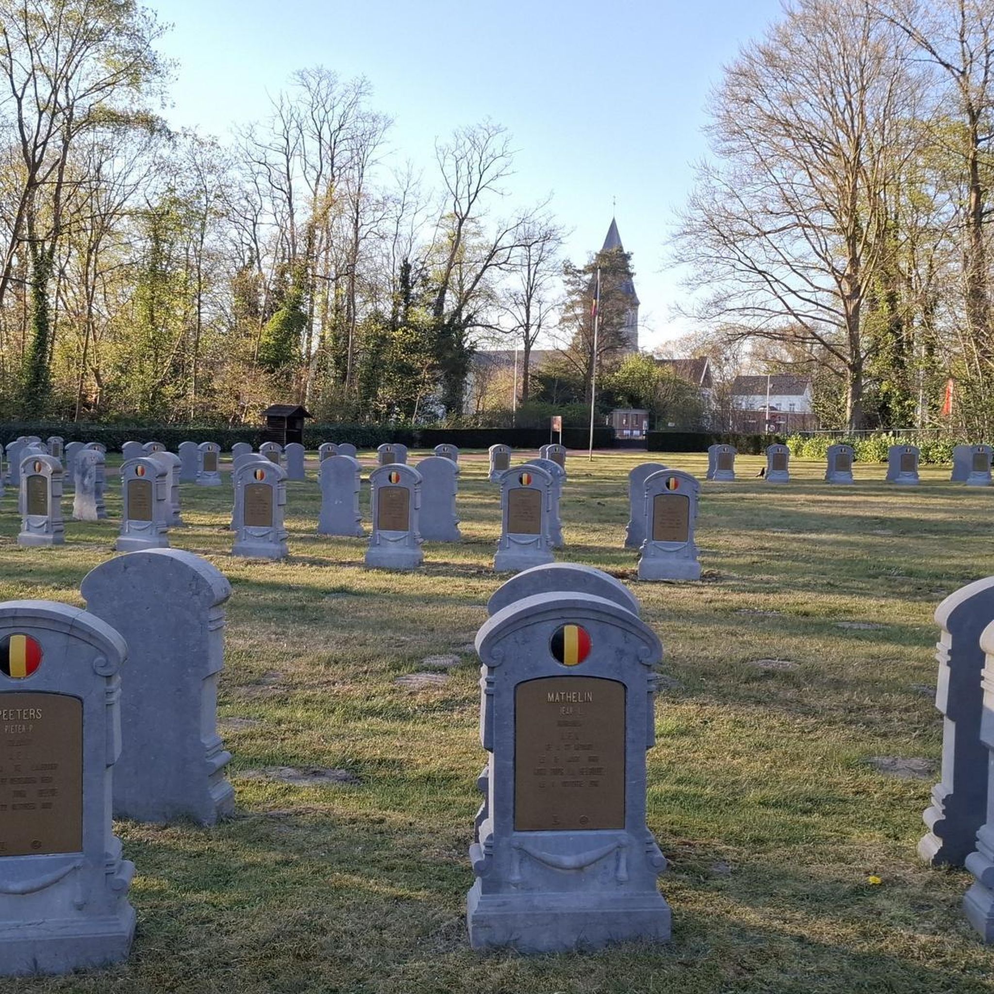
The cemetery with the chapel is located on the footpath to the ruins. A beautiful churchyard.
14
0


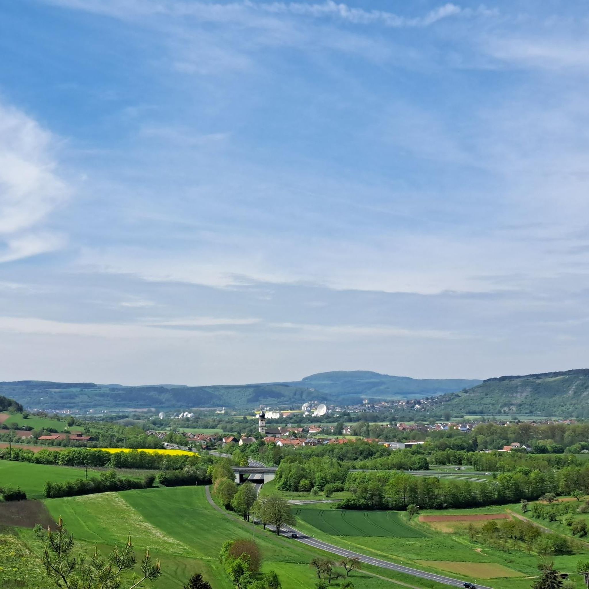
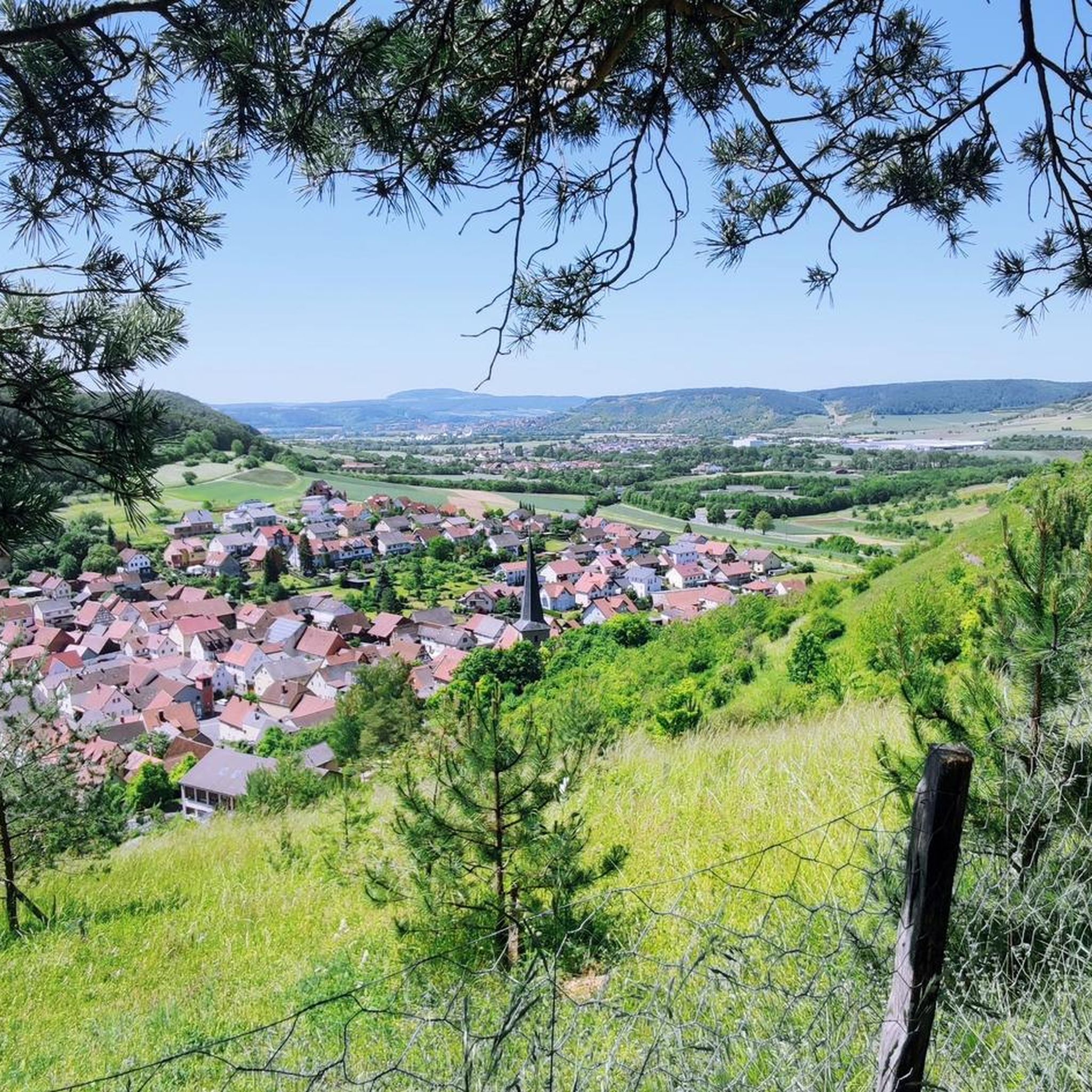
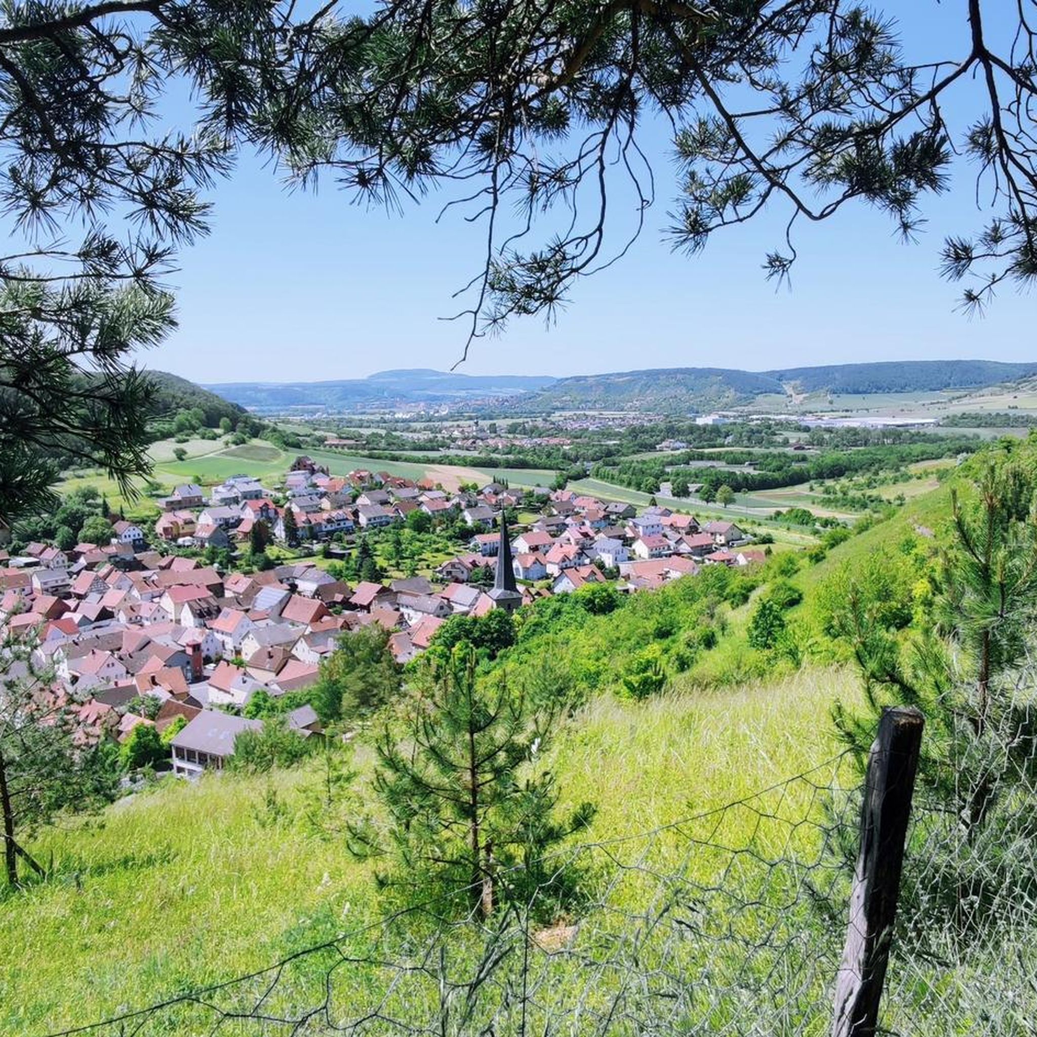
Beautiful lime kiln with a great view over Machtilshausen.
0
0

Cemeteries are not tourist destinations, but it is always worth going over and looking
0
0
Just sit down, take a breather and enjoy the view
0
0

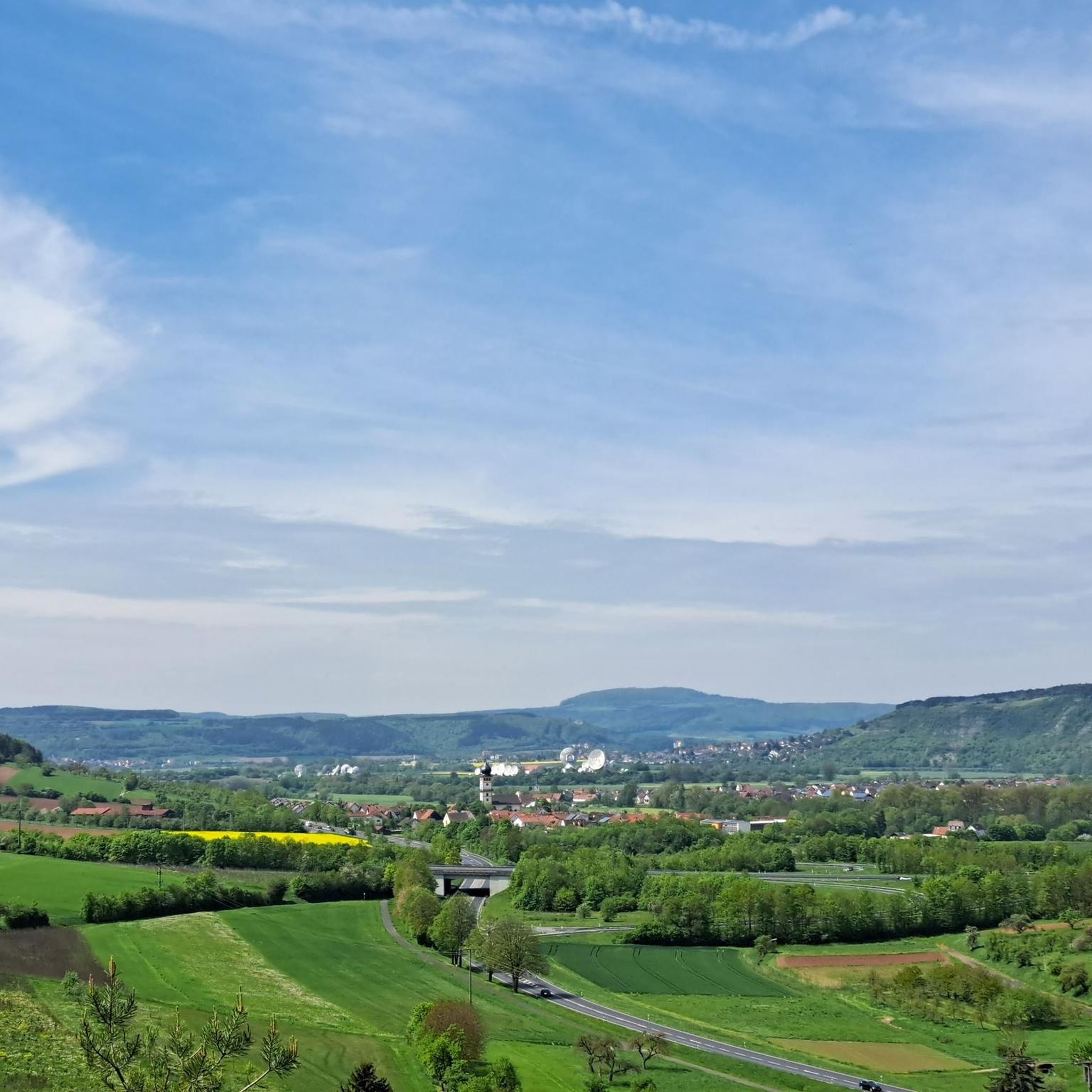
Wonderful view of the surroundings!
5
0
Beautiful path up to the castle. A highlight in any season!
5
0
Frequently Asked Questions
What are the typical terrain and difficulty levels for hiking in Trockengebiete Bei Machtilshausen?
The terrain in Trockengebiete Bei Machtilshausen is diverse, featuring dry grasslands, juniper heaths, picturesque vineyards, and dense forests. You'll encounter sun-exposed slopes and varied paths. The trails offer a range of difficulty levels: there are over 420 easy routes, more than 320 moderate routes, and around 30 difficult options, ensuring something for every fitness level.
Are there easy hiking options suitable for beginners or casual walkers?
Yes, Trockengebiete Bei Machtilshausen offers numerous easy hiking options. With over 420 routes classified as easy, beginners and casual walkers will find plenty of suitable trails. An example of an easy route is the View of Trimburg Castle – Trimburg Castle Ruins loop from Elfershausen, which is about 3.3 miles (5.3 km) long.
What natural features or landmarks can I expect to see along the trails?
Hikers can explore unique dry grasslands and juniper heaths, which are ecologically significant. The region also offers panoramic views of the Franconian Saale valley and picturesque vineyards. Notable landmarks include historical lime kilns, such as the Machtilshausen Lime Kiln, which are integrated into some routes like the Machtilshausen Lime Kiln – View of the Saale Valley loop from Elfershausen (VGem).
Are there good viewpoints along the hiking trails?
Yes, the region is known for its panoramic views. Many trails offer expansive vistas of the Franconian Saale valley. For instance, the View of the Saale Valley – View of Trimburg Castle loop from Elfershausen provides excellent views of the Saale Valley and Trimburg Castle.
Can I bring my dog on the hiking trails in Trockengebiete Bei Machtilshausen?
Generally, dogs are welcome on hiking trails in Trockengebiete Bei Machtilshausen. However, it's always advisable to keep them on a leash, especially in nature reserve areas or near livestock, to protect the local wildlife and flora. Please respect local signage regarding dog regulations.
Are there many circular hiking routes available?
Yes, circular routes are a popular option in Trockengebiete Bei Machtilshausen. Many trails are designed as loops, allowing you to start and end at the same point. The View of Trimburg Castle – Trail to Trimburg loop from Elfershausen is a good example of a moderate circular path.
How can I reach the hiking trails, and is parking available?
Access to the hiking trails is generally straightforward. Parking is typically available at trailheads or nearby villages such as Elfershausen. Specific parking information can often be found on individual route descriptions on komoot.
Is public transport an option for accessing the trails?
While public transport options might be limited compared to larger urban areas, some regional bus services may connect to villages near the Trockengebiete Bei Machtilshausen. It's recommended to check local bus schedules for connections to starting points of trails.
When is the best time of year to go hiking in Trockengebiete Bei Machtilshausen?
The dry grasslands and juniper heaths are particularly beautiful in spring and early summer when wildflowers bloom. Autumn offers pleasant temperatures and colorful foliage in the forested sections. While winter hiking is possible, some paths might be muddy or icy, so check conditions beforehand.
What do other hikers enjoy the most about hiking in Trockengebiete Bei Machtilshausen?
The area is highly rated by the komoot community, with an average score of 4.6 stars from over 5,300 reviews. Reviewers often praise the unique dry grassland landscapes, the panoramic views of the Saale Valley, and the well-marked paths that combine natural beauty with cultural insights like the historical lime kilns.
Are there family-friendly hiking trails in Trockengebiete Bei Machtilshausen?
Yes, many trails in the region are suitable for families. The varied terrain and moderate difficulty of many routes make them enjoyable for different age groups. Look for shorter, easy-to-moderate loops that offer interesting sights like viewpoints or historical elements to keep children engaged.
Most popular routes in Trockengebiete Bei Machtilshausen
Most popular attractions in Trockengebiete Bei Machtilshausen

Get inspired with the komoot mobile app


Explore more
Browse the best Hikes in other regions.
