The best walks and hikes in Mittlere Horloffaue
4.6
(2601)
11,055
hikers
757
hikes
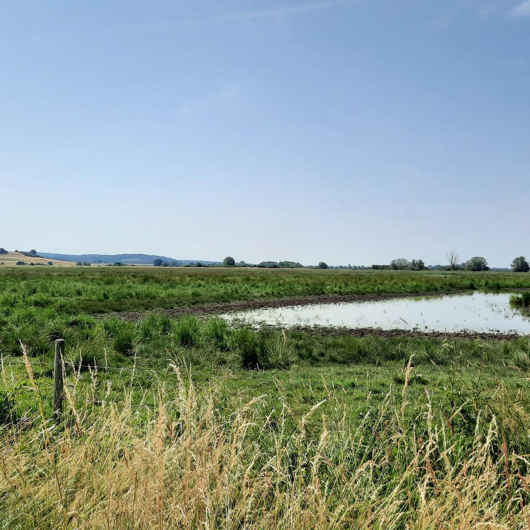
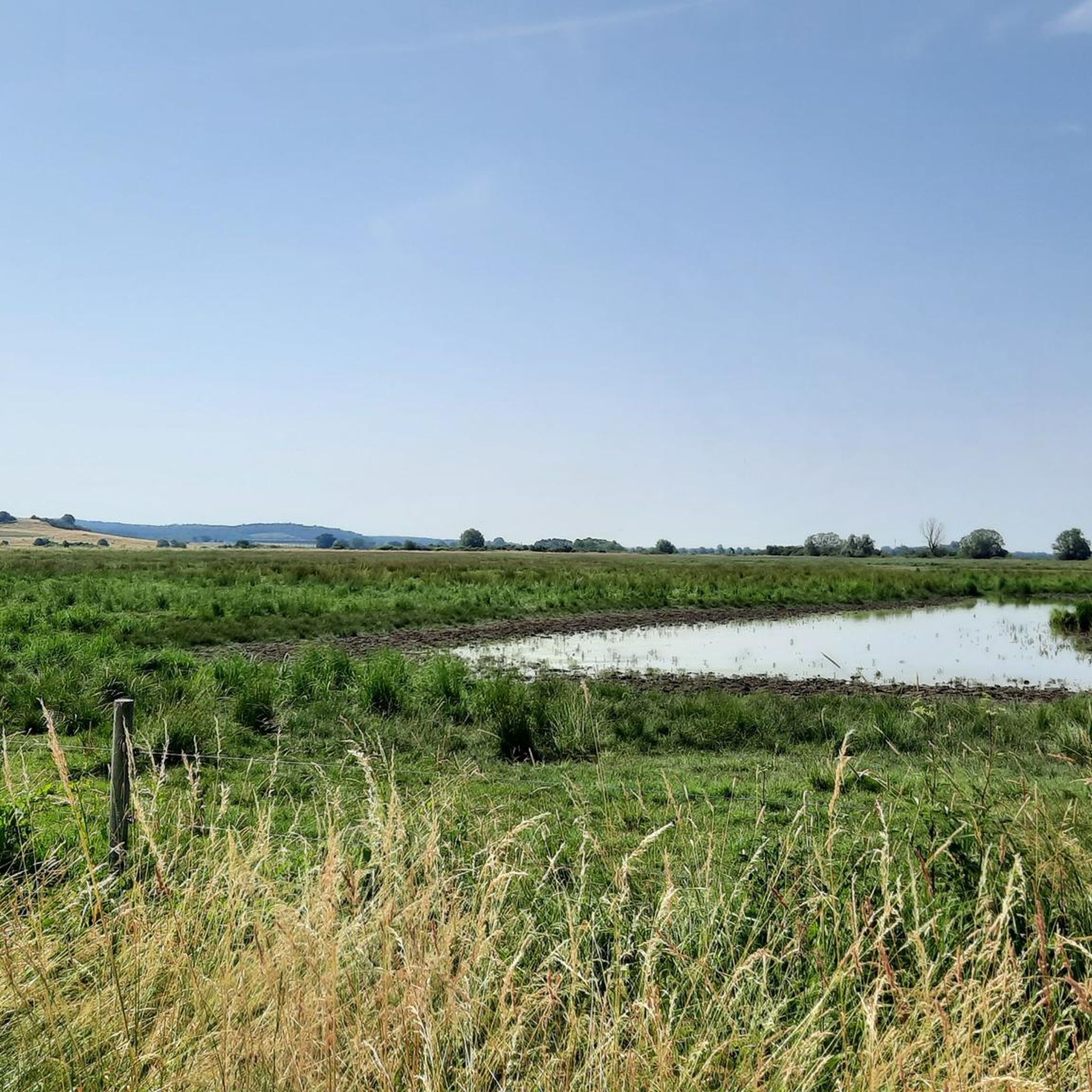
Hiking in Mittlere Horloffaue offers access to an important marsh and wetland area, characterized by flat terrain, grasslands, and scattered trees. The region features the Unterer Knappensee, a reclaimed opencast mine now serving as a significant habitat for waterfowl and diverse aquatic life. A natural salt spring has also created a rare inland salt marsh habitat. These natural features define the landscape for outdoor activities.
Best hiking trails in Mittlere Horloffaue
- The most popular hiking route is Hofgut Contrat Uptre…
Last updated: July 1, 2026
5.0
(11)
31
hikers
Moderate hike. Good fitness required. Easily-accessible paths. Suitable for all skill levels.
4.8
(23)
63
hikers
Moderate hike. Good fitness required. Easily-accessible paths. Suitable for all skill levels.

Sign up for free
4.0
(4)
8
hikers
Easy hike. Great for any fitness level. Easily-accessible paths. Suitable for all skill levels.
5.0
(1)
5
hikers
9.62km
02:28
40m
40m
Moderate hike. Good fitness required. Easily-accessible paths. Suitable for all skill levels.
3.0
(1)
6
hikers
4.93km
01:16
20m
20m
Easy hike. Great for any fitness level. Easily-accessible paths. Suitable for all skill levels.
Get access to more routes and recommendations from other explorers.
Sign up for free
Already have an account?
Our route recommendations are based on thousands of hikes, rides, and runs completed by other people on komoot.
Start today with a free account
Your next adventure awaits.
Login or Signup
Tips from the Community

It is a beautiful idyllic lake.
1
0

Unique bird sanctuary that should definitely be preserved.
0
0

Beautiful area
0
0

Discovered while driving past, very nice
0
0
I would have liked to have taken a look inside the Protestant church.
2
0
The Oberer Knappensee is also part of the Wetterau Lake District.
3
0
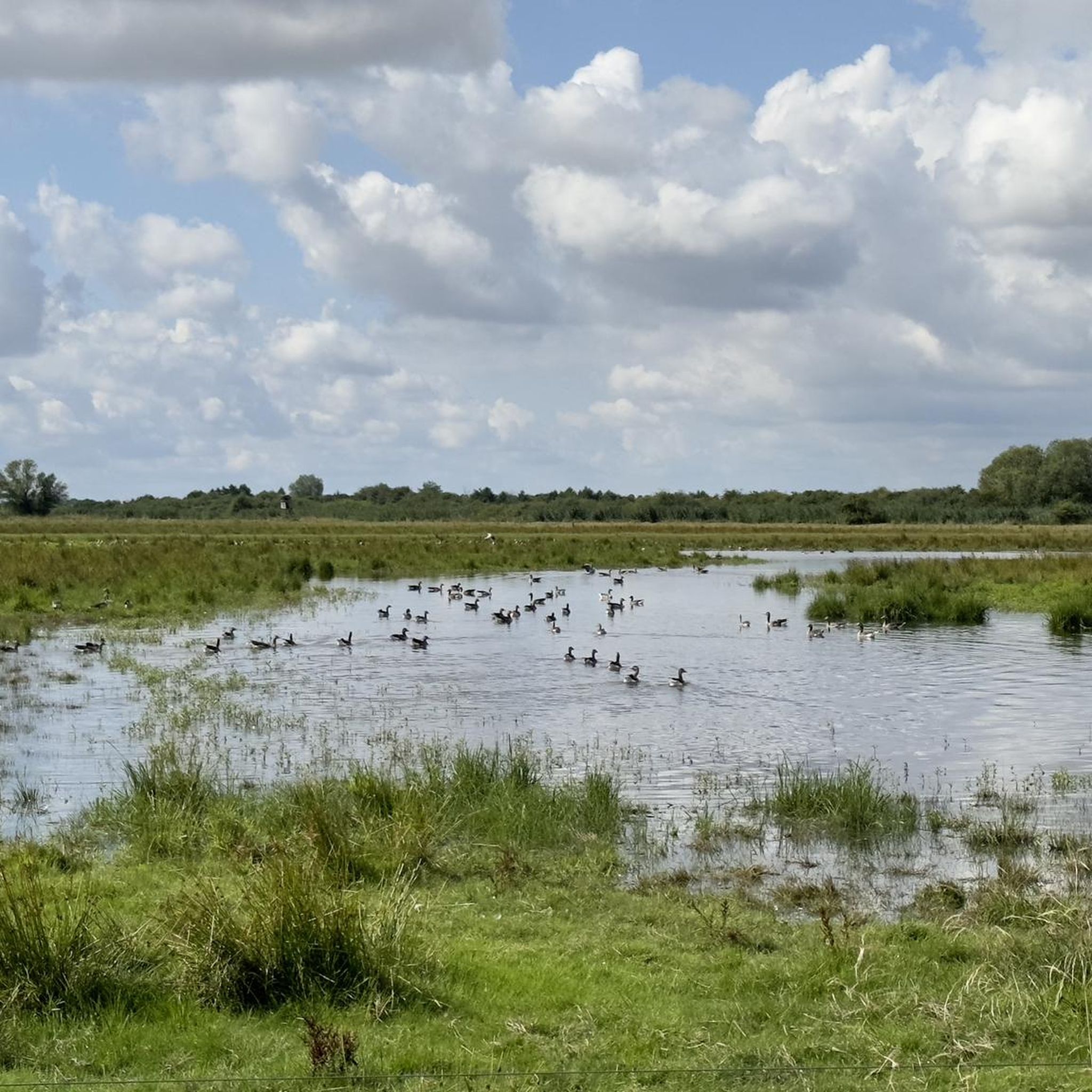
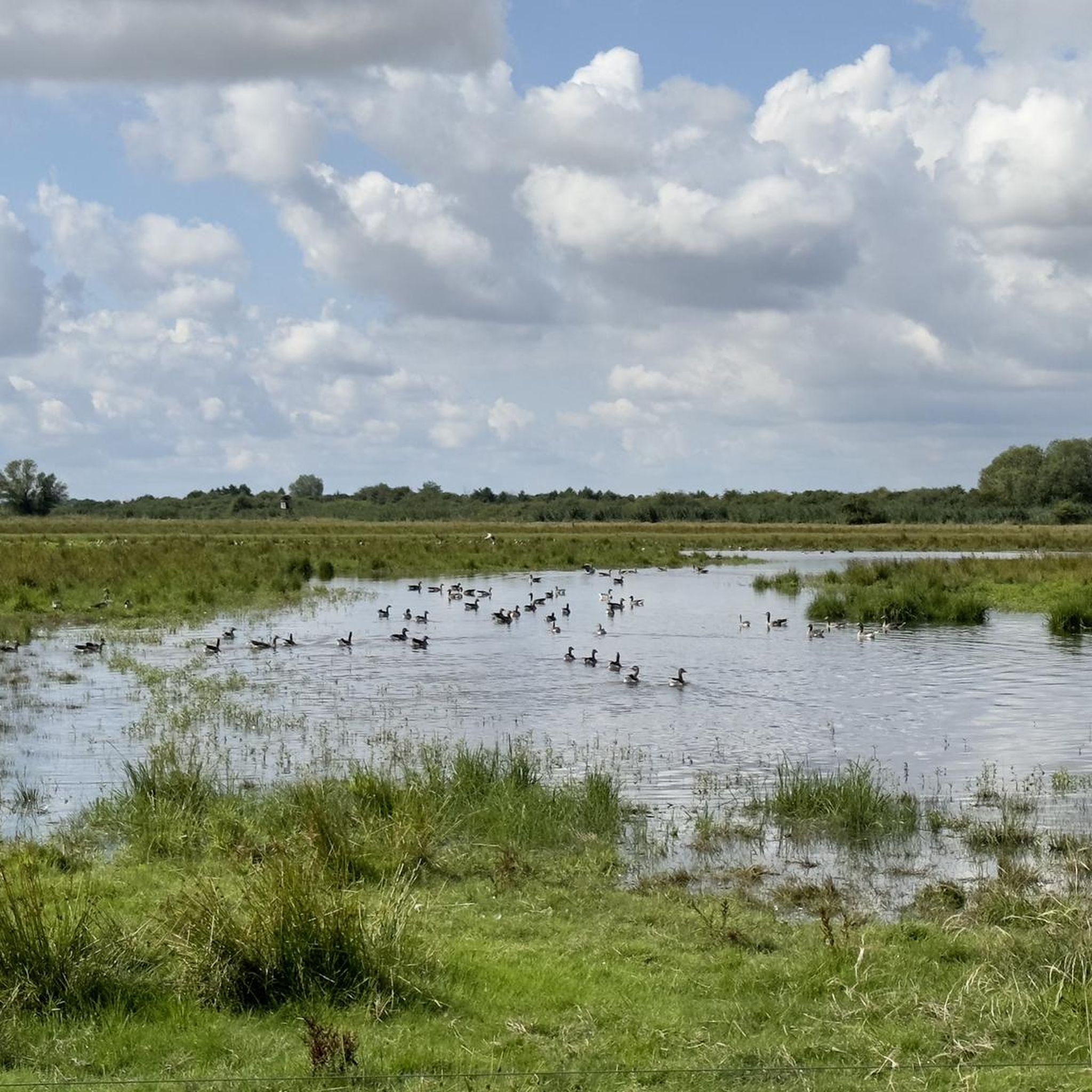
You can observe many water birds here.
1
2

Only in winter this view🤷♂️
0
0
Frequently Asked Questions
How many hiking trails are available in Mittlere Horloffaue?
There are over 760 hiking routes in Mittlere Horloffaue, offering a wide range of options for all skill levels. Approximately 480 of these are considered easy, while around 270 are moderate, and a smaller number are more challenging.
What kind of terrain can I expect when hiking in Mittlere Horloffaue?
The terrain in Mittlere Horloffaue is generally flat, characterized by marsh and wetland areas, grasslands, scattered trees, and agricultural land. Paths are often wide and can be paved, making them accessible for various activity levels. Some areas may be wet, with the possibility of high water.
Are there any family-friendly hiking options in Mittlere Horloffaue?
Yes, Mittlere Horloffaue is well-suited for families due to its generally flat and easy trails. Many routes are accessible, even for strollers or wheelchairs. A good option for a shorter, easy walk is the Hofgut Contrat Uptre – Utpher Mill loop from Utphe, which is under 5 km.
Can I bring my dog on the hiking trails in Mittlere Horloffaue?
Mittlere Horloffaue is a nature reserve, and while dogs are generally welcome, it's important to keep them on a leash to protect the diverse wildlife, especially ground-nesting birds and other sensitive species. The flat and wide paths are suitable for walks with your canine companion.
What natural features or landmarks can I see along the trails?
Mittlere Horloffaue is rich in natural features. You can explore the Mittlere Horloffaue Nature Reserve itself, which includes the Unterer Knappensee, a former opencast mine now a significant wetland. There's also a rare inland salt marsh habitat. For birdwatching, visit the Birdwatching observation point at Unterer Knappensee or the Bird observation hut in the Wetterau EU bird protection area.
What is the best time of year to go hiking in Mittlere Horloffaue?
Mittlere Horloffaue offers rewarding hiking experiences year-round, especially for birdwatching. Spring is particularly recommended for observing countless water crowfoot blossoms and diverse bird species. During migration periods, common cranes and various waterbirds are present, and winter brings guests like geese.
Are there any circular hiking routes in the area?
Yes, many routes in Mittlere Horloffaue are circular. For example, the Lake Trais-Horloffer – Lake Trais-Horloffer loop from Utphe is a popular circular trail around the lake. Another option is the Middle Horloff Floodplain – Lower Knappensee loop from Mittlere Horloffaue, which offers views of the wetland area.
Where can I observe wildlife, especially birds, in Mittlere Horloffaue?
Mittlere Horloffaue is a prime location for birdwatching, being one of Hessen's most important resting and breeding areas for water-bound bird species. You can spot white storks, common cranes, lapwings, and bluethroats. Multiple birdwatching hides and platforms, including a large observation hut at the Unterer Knappensee, provide excellent views. The Crane Resting Area (Kranichwiesen) is also a key spot.
What do other hikers say about the trails in Mittlere Horloffaue?
The hiking routes in Mittlere Horloffaue are highly rated by the komoot community, with an average score of 4.6 stars from over 2,400 reviews. Hikers often praise the easy accessibility, the peaceful natural environment, and the excellent opportunities for bird and wildlife observation.
Are there any easy hikes suitable for beginners?
Absolutely. Mittlere Horloffaue is known for its generally easy trails, making it ideal for beginners. Nearly 480 of the routes are classified as easy. A great starting point could be the Hofgut Contrat Uptre – Utpher Mill loop from Utphe, which is a relatively short and flat path.
Are there viewpoints or observation points along the trails?
Yes, the region features several dedicated observation points, particularly for birdwatching. There is a prominent Birdwatching observation point at Unterer Knappensee and a large Bird observation hut in the Wetterau EU bird protection area, offering excellent views of the wetlands and its inhabitants.
What are some longer, moderate hiking options in Mittlere Horloffaue?
For those seeking a longer, moderate challenge, consider the Water Sports at Inheidener See – Lake Trais-Horloffer loop from Mittlere Horloffaue. This route is about 12 km and offers scenic views of the lakes and wetlands, providing ample opportunities for birdwatching along the way.
Most popular routes in Mittlere Horloffaue
Most popular attractions in Mittlere Horloffaue

Get inspired with the komoot mobile app


Explore more
Browse the best Hikes in other regions.
