Bachsystem Der Streu Mit Nebengewässern
Bachsystem Der Streu Mit Nebengewässern
The best mountain hikes in Bachsystem Der Streu Mit Nebengewässern
3.0
(3)
14
hikers
5
hikes
Mountaineering routes in Bachsystem Der Streu Mit Nebengewässern traverse the diverse landscapes of the Rhön Mountains, a UNESCO Biosphere Reserve in Germany. The region features largely woodless volcanic mountains, rolling hills, and open plateaus, offering panoramic views. While the Streu river system itself provides tranquil settings, the broader area includes challenging ascents and elevated viewpoints. This terrain is conducive to varied mountaineering experiences, from demanding hikes to accessible climbing locations.
Best mountaineering routes in Bachsystem Der Streu Mit Nebengewässern
- The…
Last updated: July 2, 2026
5.0
(2)
6
hikers
13.6km
04:12
490m
490m
Moderate mountaineering route. Good fitness required. Easily-accessible paths. Suitable for all skill levels.
1.0
(1)
1
hikers
Moderate mountaineering route. Good fitness required. Easily-accessible paths. Suitable for all skill levels.

Sign up for free
3
hikers
7.31km
02:05
170m
170m
Moderate mountaineering route. Good fitness required. Easily-accessible paths. Suitable for all skill levels.
2
hikers
Moderate mountaineering route. Good fitness required. Easily-accessible paths. Suitable for all skill levels.
2
hikers
Moderate mountaineering route. Good fitness required. Easily-accessible paths. Suitable for all skill levels.
Our route recommendations are based on thousands of hikes, rides, and runs completed by other people on komoot.
Start today with a free account
Your next adventure awaits.
Login or Signup
Popular around Bachsystem Der Streu Mit Nebengewässern

Extra tours South - Excellent premium hiking trails of the Rhön

Wonderful Green Band

Discover the Green Belt in the Rhön with BUND

Rundwanderwege um Oberelsbach
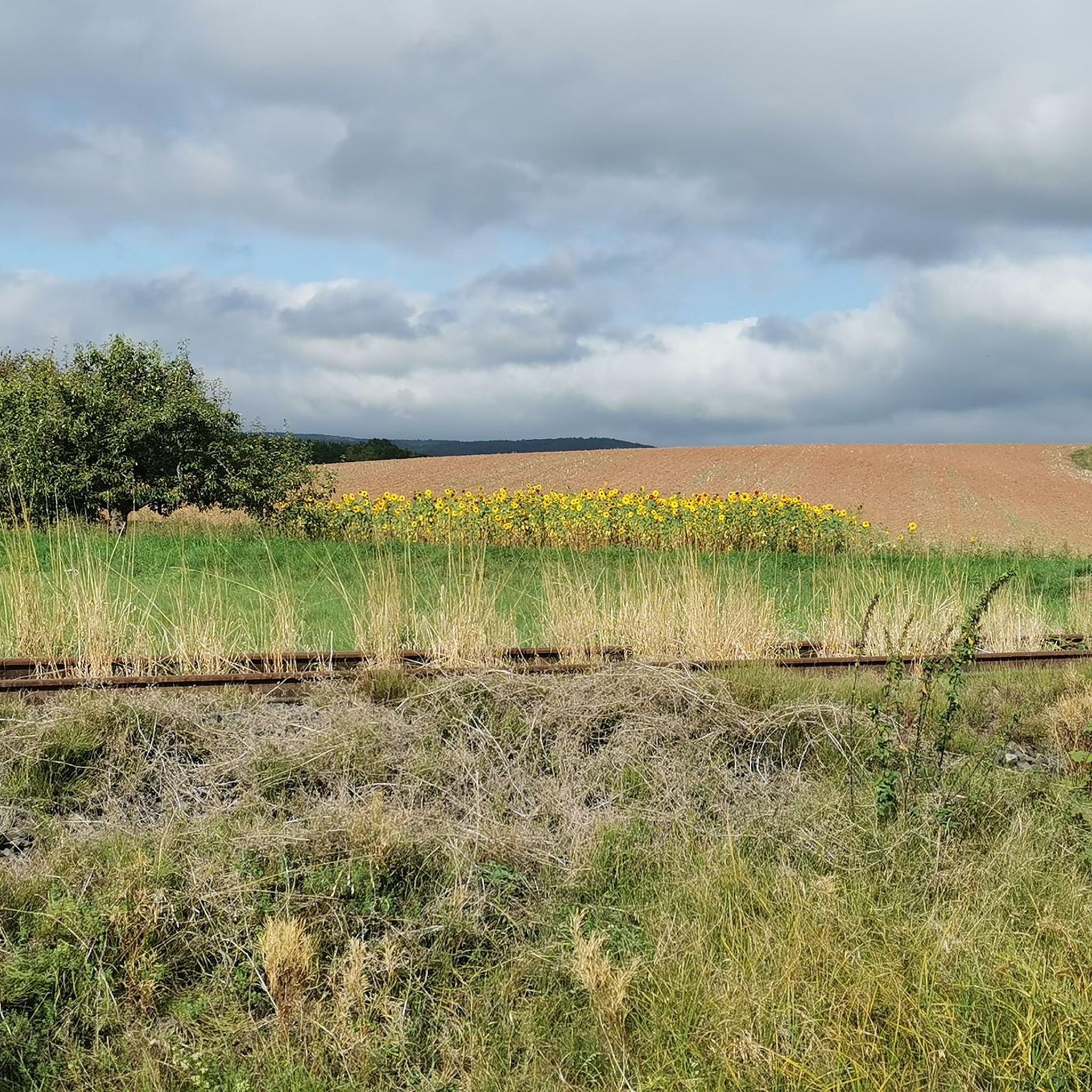
Hiking in Bachsystem Der Streu Mit Nebengewässern
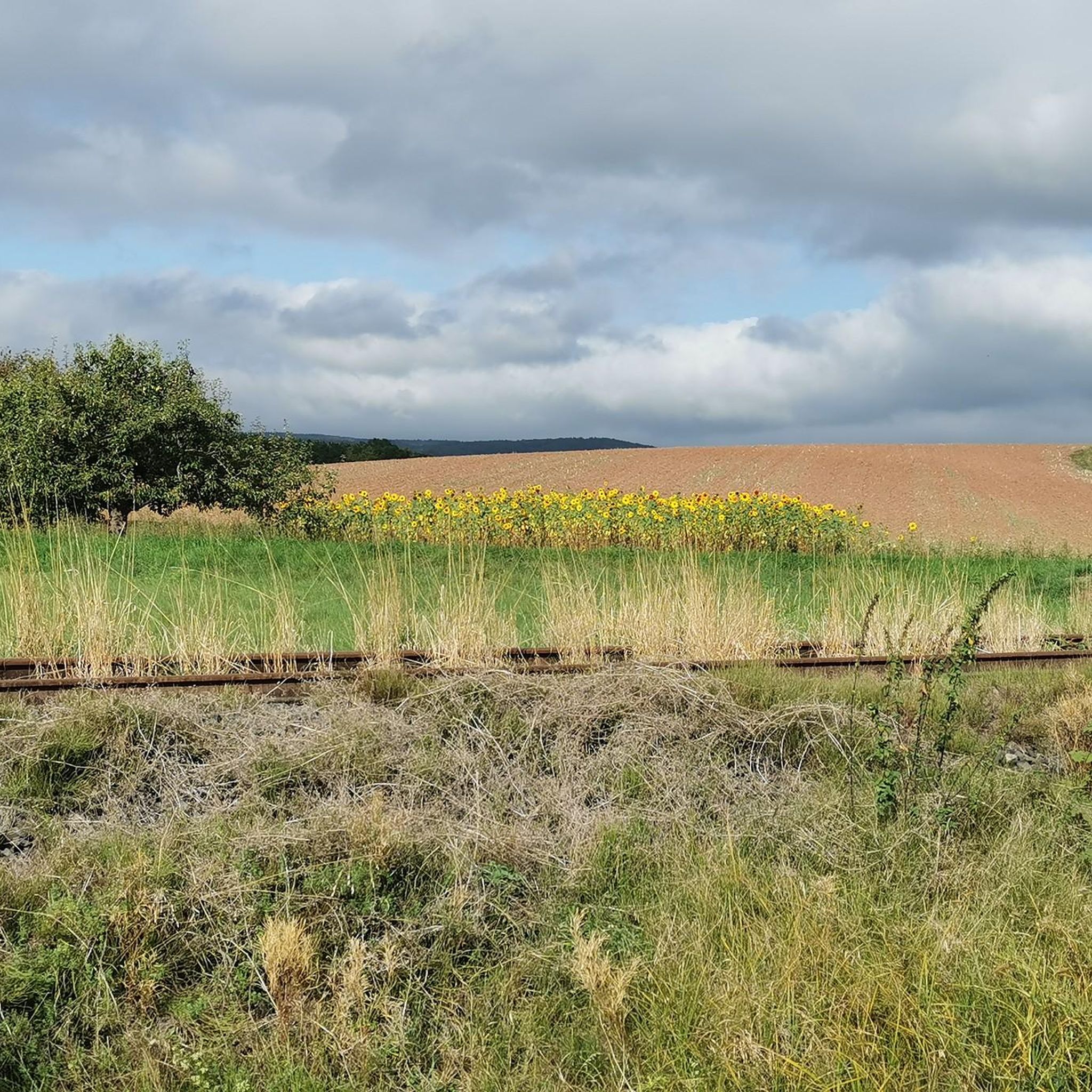
Cycling in Bachsystem Der Streu Mit Nebengewässern
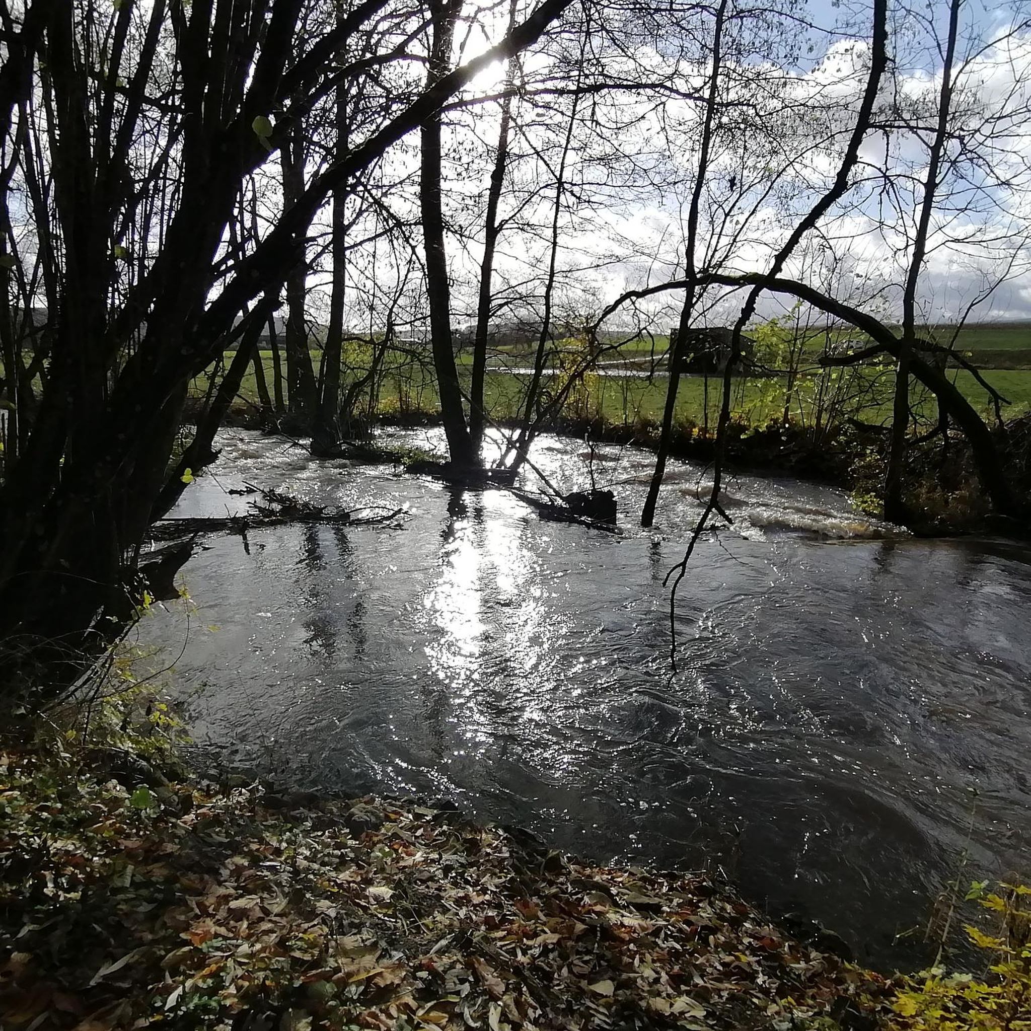
Road Cycling Routes in Bachsystem Der Streu Mit Nebengewässern
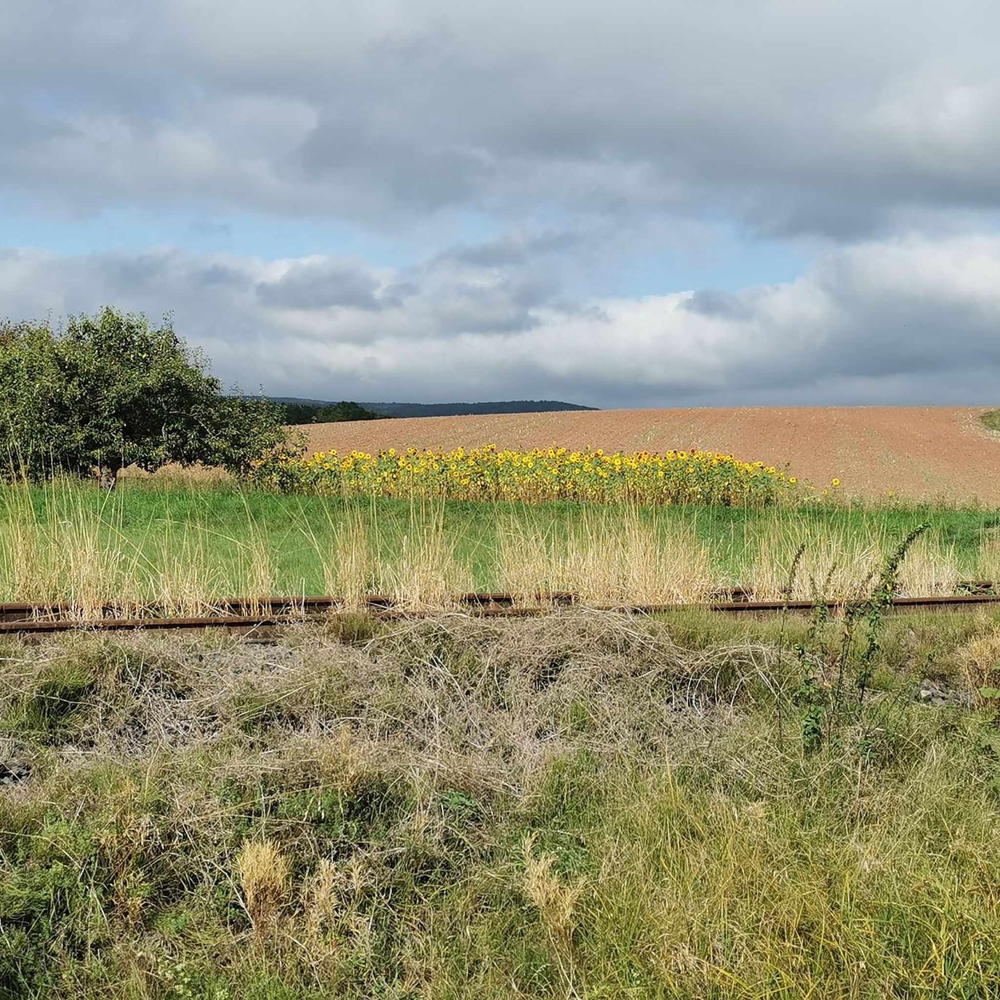
MTB Trails in Bachsystem Der Streu Mit Nebengewässern
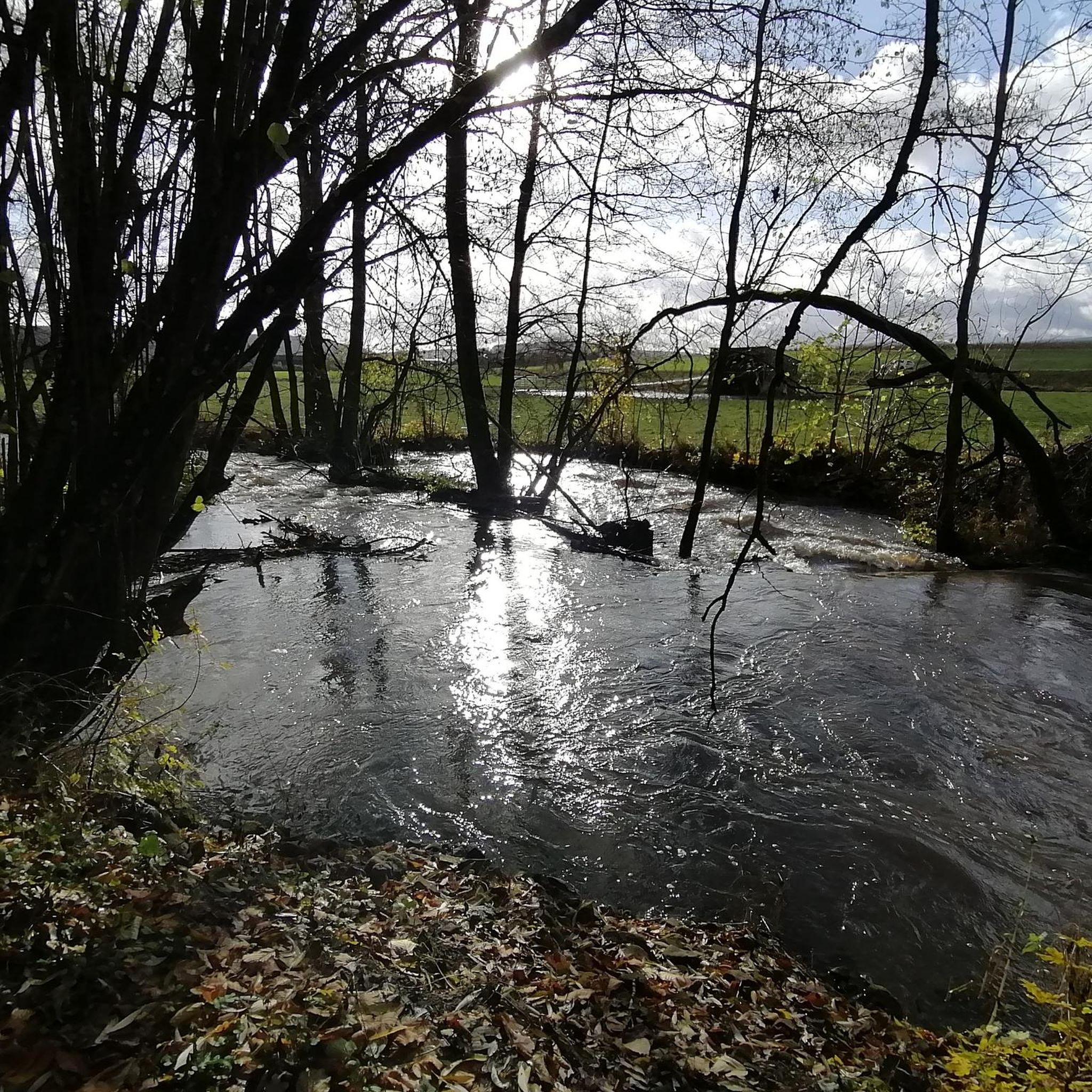
Running Trails in Bachsystem Der Streu Mit Nebengewässern
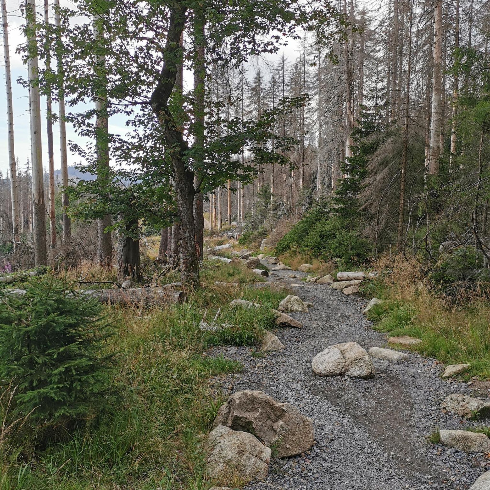
Gravel biking in Bachsystem Der Streu Mit Nebengewässern
Other adventures in Bachsystem Der Streu Mit Nebengewässern


Tips from the Community

Great view from the Osterburg
0
0


One of the last raised bogs in Hesse. Peat mining was stopped here in 1986… Today, renaturation is the magic word
13
0

You can stop by
3
0

Really nice and quiet in the morning. From 12pm onwards it is often very busy.
1
1

This small fountain is located on the way down from Kreuzberg to Neustädter Haus.
0
0

Very nice town with town hall.
5
0
Frequently Asked Questions
How many mountaineering routes are available in Bachsystem Der Streu Mit Nebengewässern?
There are 5 dedicated mountaineering routes in the Bachsystem Der Streu Mit Nebengewässern region, all rated as moderate difficulty. These routes offer a range of experiences within the Rhön Mountains.
Are there any circular mountaineering routes in the area?
Yes, all the mountaineering routes listed for Bachsystem Der Streu Mit Nebengewässern are circular. For example, you can explore the Marienbrünnlein – Kreuzberg Summit loop from Unterweißenbrunn or the The steps up to Kreuzberg – Kreuzberg Monastery loop from Bischofsheim in der Rhön.
What kind of views can I expect on these mountaineering routes?
The Rhön Mountains, where Bachsystem Der Streu Mit Nebengewässern is located, are known as the 'land of endless horizons'. You can expect magnificent panoramic views from the largely woodless volcanic mountains and open plateaus. Routes like the Cascade Gorge – View of the Wasserkuppe loop from Rotes Moor offer vistas towards the Wasserkuppe, Hessen's highest mountain.
Are there any family-friendly mountaineering options?
While all routes are currently rated as moderate, the region offers diverse terrain. Shorter routes like the Cascade Gorge – View of the Wasserkuppe loop from Rotes Moor, which is about 7.3 km and takes around 2 hours, might be more suitable for families with some hiking experience. The UNESCO Biosphere Reserve status ensures a beautiful natural environment for all ages.
What are some interesting landmarks or attractions near the mountaineering trails?
Along and near the routes, you can discover several points of interest. You might encounter the historic Kreuzberg Monastery, featured in routes like Osterburg castle ruins – Kreuzberg Monastery loop from Bischofsheim in der Rhön. Other attractions include the Streu River Trail itself, the Gate Bridge in Ostheim vor der Rhön, or even the Kirschgarten Park and Grill for a break.
Are there any water features or lakes to see along the routes?
The region, being a river system, naturally features water. While direct waterfalls are not highlighted, you can find tranquil spots like Grafenberg Pond or the Badloch in Nordheim v.d.Rhön an der Streu. The Streu river system itself provides picturesque routes along its banks.
What is the typical duration for mountaineering routes in this area?
The mountaineering routes in Bachsystem Der Streu Mit Nebengewässern vary in length and duration. You can find shorter options like the Cascade Gorge – View of the Wasserkuppe loop from Rotes Moor, which takes about 2 hours 5 minutes, up to longer routes like The steps up to Kreuzberg – Kreuzberg Monastery loop from Bischofsheim in der Rhön, which can take around 4 hours 35 minutes.
What do other mountaineers say about the routes in Bachsystem Der Streu Mit Nebengewässern?
The routes in Bachsystem Der Streu Mit Nebengewässern are generally well-regarded by the komoot community, with an average score of 3.0 stars. Mountaineers appreciate the varied terrain, the expansive views from elevated points like Kreuzberg, and the opportunity to explore the unique landscapes of the Rhön UNESCO Biosphere Reserve.
Are there any challenging mountaineering routes for experienced hikers?
All currently listed routes are rated as moderate, but they do feature significant elevation gains. For instance, the The steps up to Kreuzberg – Kreuzberg Monastery loop from Bischofsheim in der Rhön involves over 500 meters of ascent. The broader Rhön region is known for diverse outdoor activities, including more challenging hikes and climbing opportunities at locations like the Steinwand.
What is the best season for mountaineering in the Rhön Mountains?
The Rhön Mountains offer outdoor activities year-round. While specific conditions vary, spring and autumn provide pleasant temperatures and vibrant scenery. Summer is also popular, but be prepared for warmer weather. In winter, the Wasserkuppe area transforms for snow sports, but general mountaineering might require specific gear and awareness of conditions.
Where can I find information about the Rhön Mountains region in general?
The Rhön Mountains are a UNESCO Biosphere Reserve, renowned for their natural beauty and diverse outdoor activities. For more general information about the region and its offerings, you can visit the official tourism website for Hessen: hessen-tourismus.de.
Most popular routes in Bachsystem Der Streu Mit Nebengewässern
Most popular attractions in Bachsystem Der Streu Mit Nebengewässern

Get inspired with the komoot mobile app


Explore more
Browse the best Mountain Hikes & Routes in other regions.
