The best running trails in Trockengebiete Vor Der Rhön
4.5
(291)
4,242
runners
441
runs
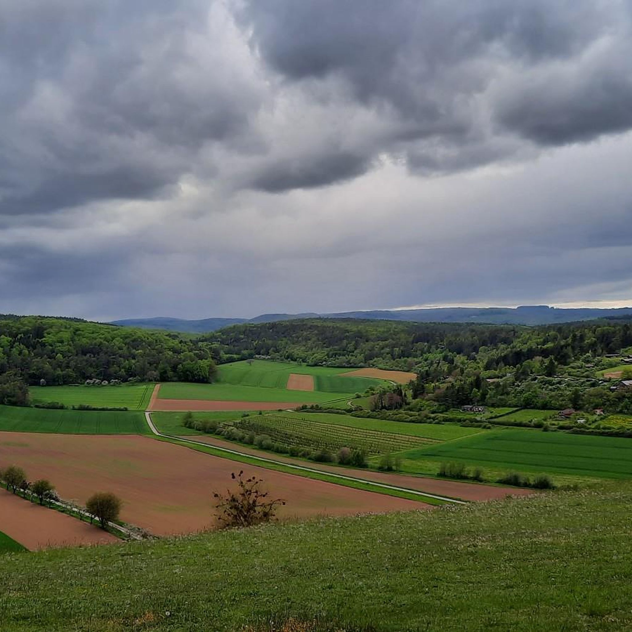
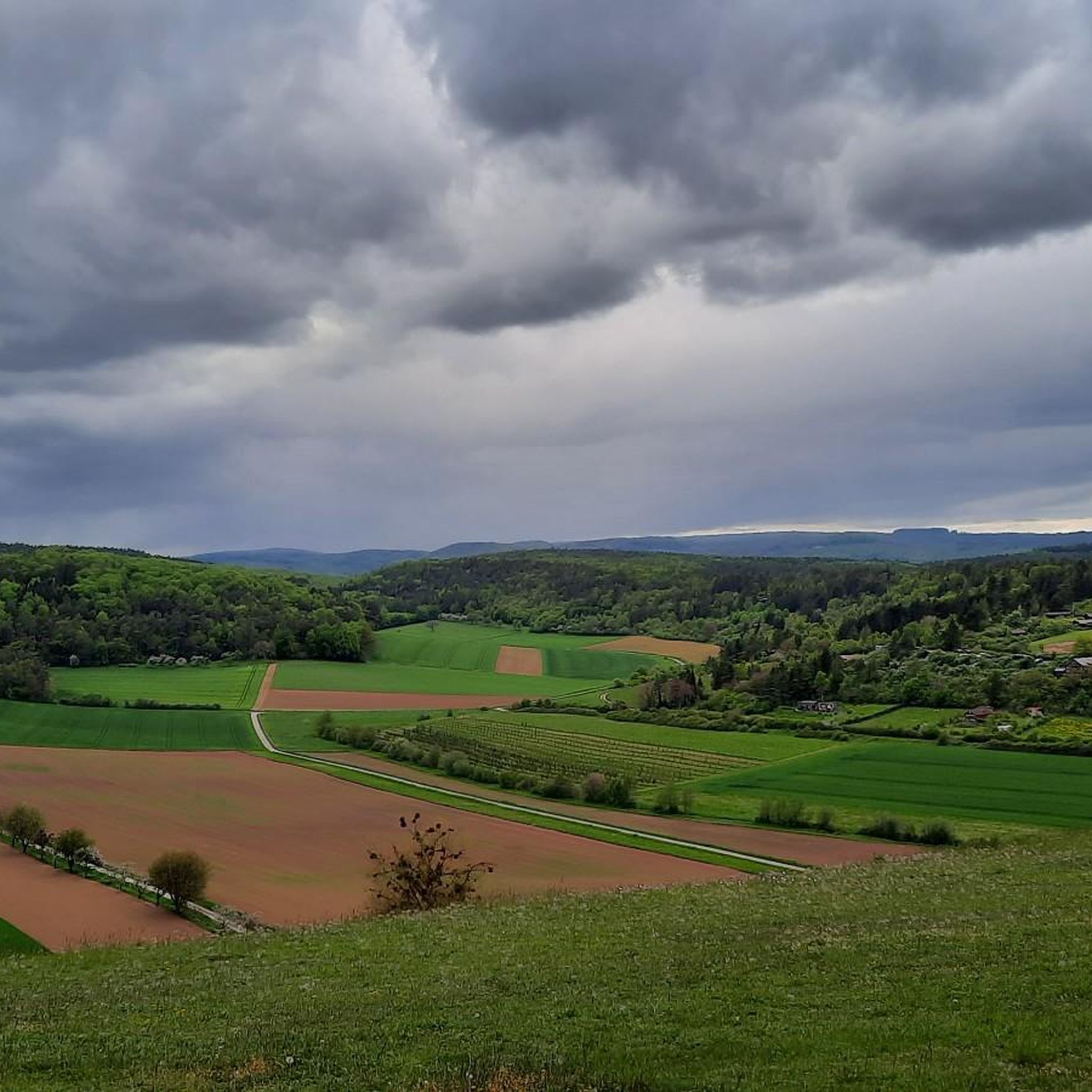
Jogging routes in Trockengebiete Vor Der Rhön traverse a landscape characterized by low hills, open fields, and forested sections, often featuring historic landmarks. The region offers a mix of terrain suitable for various running preferences, from gentle paths along river valleys to routes with moderate ascents. Runners can explore areas around historic castles, summit crosses, and medieval town walls.
Best jogging routes in Trockengebiete Vor Der Rhön
- The most popular jogging route is Lichtenburg Castle – Weyhershauk Summit Cross loop from Ostheim vor der Rhön, a 5.2 miles (8.3 km) trail that takes about 1 hour 3 minutes to complete, connecting a historic castle with a summit viewpoint.
- Another top favourite among local runners is Weyhershauk Summit Cross loop from Ostheim vor der Rhön, a moderate 6.0 miles (9.6 km) path offering panoramic views from the summit cross.
- Local runners also love the Gate Bridge, Ostheim vor der Rhön – The Ancient Gate Bridge loop from Ostheim vor der Rhön, a 6.2 miles (10.0 km) trail leading through historic town features and along river sections, often completed in about 1 hour 4 minutes.
- Jogging in Trockengebiete Vor Der Rhön is defined by low hills, forest paths, and historic sites, offering options for various fitness levels, from easy paths to more challenging ascents.
- The routes in Trockengebiete Vor Der Rhön are highly rated by the komoot community with an average score of 4.5 stars from over 200 reviews. More than 4000 runners have used komoot to explore Trockengebiete Vor Der Rhön's varied terrain.
Last updated: July 16, 2026
22
runners
Moderate run. Good fitness required. Mostly paved surfaces. Suitable for all skill levels.
5.0
(2)
18
runners
7.39km
00:46
50m
50m
Moderate run. Good fitness required. Mostly paved surfaces. Suitable for all skill levels.

Sign up for free
5.0
(3)
17
runners
11.2km
01:14
200m
190m
Moderate run. Good fitness required. Mostly paved surfaces. Suitable for all skill levels.
5.0
(1)
18
runners
12.2km
01:16
70m
70m
Moderate run. Good fitness required. Mostly paved surfaces. Suitable for all skill levels.
12
runners
13.3km
01:25
120m
120m
Moderate run. Good fitness required. Mostly paved surfaces. Suitable for all skill levels.
Get access to more routes and recommendations from other explorers.
Sign up for free
Already have an account?
Our route recommendations are based on thousands of hikes, rides, and runs completed by other people on komoot.
Start today with a free account
Your next adventure awaits.
Login or Signup

Other adventures in Trockengebiete Vor Der Rhön

Tips from the Community

Although no drinking water comes from here anymore, it's nice that the well is being maintained.
0
0

Absolutely the best bratwurst in the area. Price stable at 3.50, so it tastes even better.
0
0
The best Thuringian food "outside" of Thuringia :-)
0
0


very good real Thuringian Bratwurst
0
0


Prince Regent of Bavaria, Luitpold, who was born in Würzburg 200 years ago, enjoyed immense popularity in the Rhön and Grabfeld regions. To honor him on his 80th and 90th birthdays in 1901 and 1911, bonfires were lit in numerous communities in Rhön-Grabfeld, "Luitpold lindens" were planted, and torchlight processions were held. Indeed, even two fountains in Bad Königshofen and Mellrichstadt, which shape the cityscape, still remind us today of Prince Regent Luitpold, as do the Luitpoldhöhen near Mühlbach or Mühlfeld.
8
0
Frequently Asked Questions
How many running routes are available in Trockengebiete Vor Der Rhön?
There are over 400 running routes in Trockengebiete Vor Der Rhön, offering a wide range of options for all fitness levels. This includes 44 easy routes, 331 moderate routes, and 60 challenging trails.
What do other runners enjoy about the trails in Trockengebiete Vor Der Rhön?
The running trails in Trockengebiete Vor Der Rhön are highly rated by the komoot community, with an average score of 4.5 stars from over 200 reviews. Runners often praise the diverse landscape, which includes low hills, open fields, and forested sections, as well as the historic landmarks encountered along the way.
Are there any easy or beginner-friendly jogging routes in the region?
Yes, Trockengebiete Vor Der Rhön offers 44 easy jogging routes suitable for beginners or those looking for a less strenuous run. These paths often follow gentle terrain along river valleys or through open fields.
Can I find long-distance running trails in Trockengebiete Vor Der Rhön?
While many routes are moderate, you can find longer trails by combining sections or choosing routes like the Streu Bridge – Kaplansbrunnen loop from Stockheim, which covers 12.2 km, or the Kaplansbrunnen – Ostheim Medieval Town Wall loop from Nordheim vor der Rhön, at 12.1 km.
Are there circular jogging routes available?
Yes, many of the running routes in Trockengebiete Vor Der Rhön are circular, allowing you to start and finish at the same point. Examples include the popular Lichtenburg Castle – Weyhershauk Summit Cross loop from Ostheim vor der Rhön and the Gate Bridge, Ostheim vor der Rhön – The Ancient Gate Bridge loop from Ostheim vor der Rhön.
What kind of landmarks or attractions can I see along the running routes?
The region is rich in historic landmarks and natural sights. Along the routes, you might encounter the Weyhershauk Summit Cross, the Twin Oak, or historic structures like the medieval town walls of Ostheim vor der Rhön. Other points of interest include the St. Gangolf Chapel (Gangolfskapelle) Fladungen and the Stone Memorial Cross near Ostheim.
Are there any viewpoints along the jogging trails in Trockengebiete Vor Der Rhön?
Yes, several routes offer scenic viewpoints. The Weyhershauk Summit Cross is a prominent viewpoint offering panoramic views. You can also find a notable Viewpoint on Großer Lindenberg, providing excellent vistas of the surrounding landscape.
Are the running trails in Trockengebiete Vor Der Rhön suitable for families?
Many of the easy and moderate routes are suitable for families, especially those with older children. The varied terrain and historic sights can make for an engaging experience. Look for routes with lower elevation gains and shorter distances for a more family-friendly outing.
What is the best time of year for jogging in Trockengebiete Vor Der Rhön?
The region is generally pleasant for jogging from spring through autumn. Spring brings blooming landscapes, while autumn offers beautiful foliage. Summer is also suitable, but it's advisable to run in the mornings or evenings to avoid the midday heat. Winter jogging is possible, but some paths might be icy or muddy, so appropriate footwear is recommended.
Are there challenging running routes for experienced runners?
Yes, for experienced runners seeking a challenge, there are 60 difficult routes available. These trails typically feature more significant elevation changes and cover longer distances, providing a good workout amidst the region's varied topography.
Are the jogging routes in Trockengebiete Vor Der Rhön dog-friendly?
Most natural trails in Trockengebiete Vor Der Rhön are dog-friendly, but it's always recommended to keep your dog on a leash, especially in areas with wildlife or near agricultural land. Be sure to carry water for your pet, particularly on longer routes.
Is public transport available to access the running trails?
Public transport options vary by specific starting points. While some larger towns like Ostheim vor der Rhön have bus connections, many trailheads in more rural areas might require private transport. It's best to check local bus schedules for the specific area you plan to visit.
Are there cafes or places to refuel near the jogging routes?
Many routes pass through or near villages and towns like Ostheim vor der Rhön, where you can find cafes, bakeries, or restaurants to refuel. It's a good idea to check the route map beforehand to identify refreshment stops along your chosen path.
Most popular routes in Trockengebiete Vor Der Rhön
Most popular attractions in Trockengebiete Vor Der Rhön

Get inspired with the komoot mobile app


Explore more
Browse the best Running Trails & Routes in other regions.
