The best mountain hikes in Naturpark Diemelsee
4.5
(11)
38
hikers
12
hikes
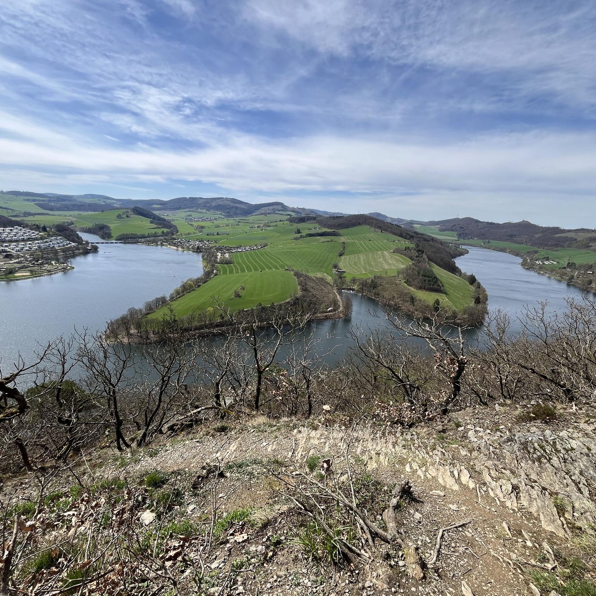
Mountaineering routes in Naturpark Diemelsee traverse a diverse low mountain range, characterized by high mountains, wide valleys, and dense forests within the Rothaargebirge. The landscape features extensive woodlands, crystal-clear streams, and the central Diemelsee lake. Notable peaks like Langenberg and Hegekopf reach 843 meters, offering significant ascents and descents. The park also contains valuable habitats such as high heaths and geological sites.
Best mountaineering routes in Naturpark Diemelsee
- The most popular mountaineering route is Suspension Bridge Sauerland – Ettelsberg Observation…
Last updated: July 10, 2026
4.0
(3)
7
hikers
16.4km
04:44
380m
380m
Moderate mountaineering route. Good fitness required. Easily-accessible paths. Suitable for all skill levels.
5.0
(2)
3
hikers
7.97km
02:21
230m
230m
Moderate mountaineering route. Good fitness required. Easily-accessible paths. Suitable for all skill levels.

Sign up for free
4
hikers
Hard mountaineering route. Good fitness required. Sure-footedness, sturdy shoes and alpine experience required.
5.0
(2)
8
hikers
Hard mountaineering route. Great for any fitness level. Sure-footedness, sturdy shoes and alpine experience required.
5.0
(2)
12
hikers
5.40km
01:47
260m
260m
Easy mountaineering route. Great for any fitness level. Easily-accessible paths. Suitable for all skill levels.
Get access to more routes and recommendations from other explorers.
Sign up for free
Already have an account?
Our route recommendations are based on thousands of hikes, rides, and runs completed by other people on komoot.
Start today with a free account
Your next adventure awaits.
Login or Signup
Popular around Naturpark Diemelsee

11 Hessen trails – criss-cross through the countryside
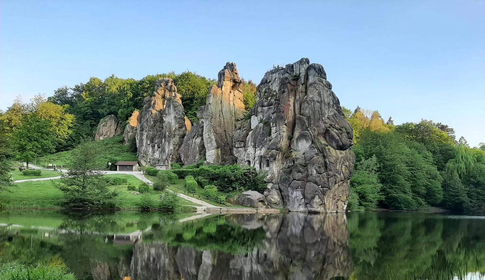
The National Natural Landscapes in Nordrhein-Westfalen
Zauberhafte Radrouten – Erlebe die GrimmHeimat NordHessen
Zauberhaft mystisch - Die Sauerland-Waldroute
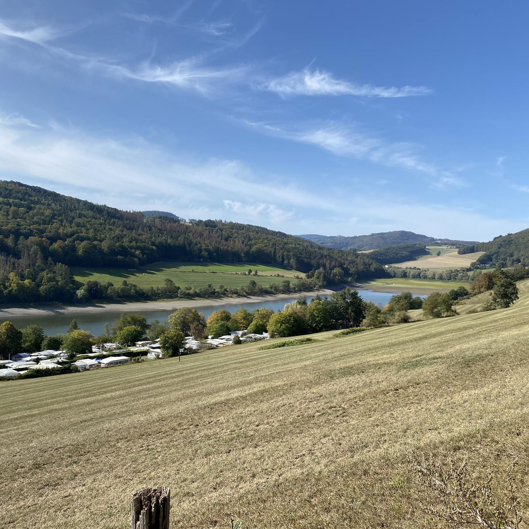
Hiking in Naturpark Diemelsee
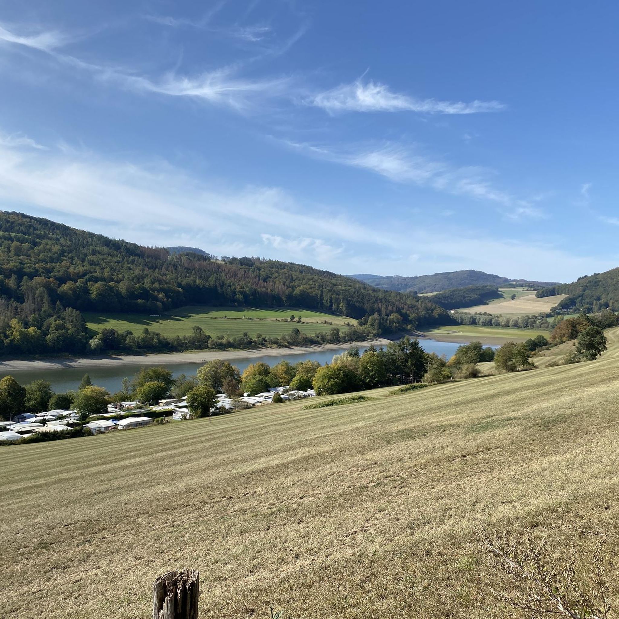
MTB Trails in Naturpark Diemelsee
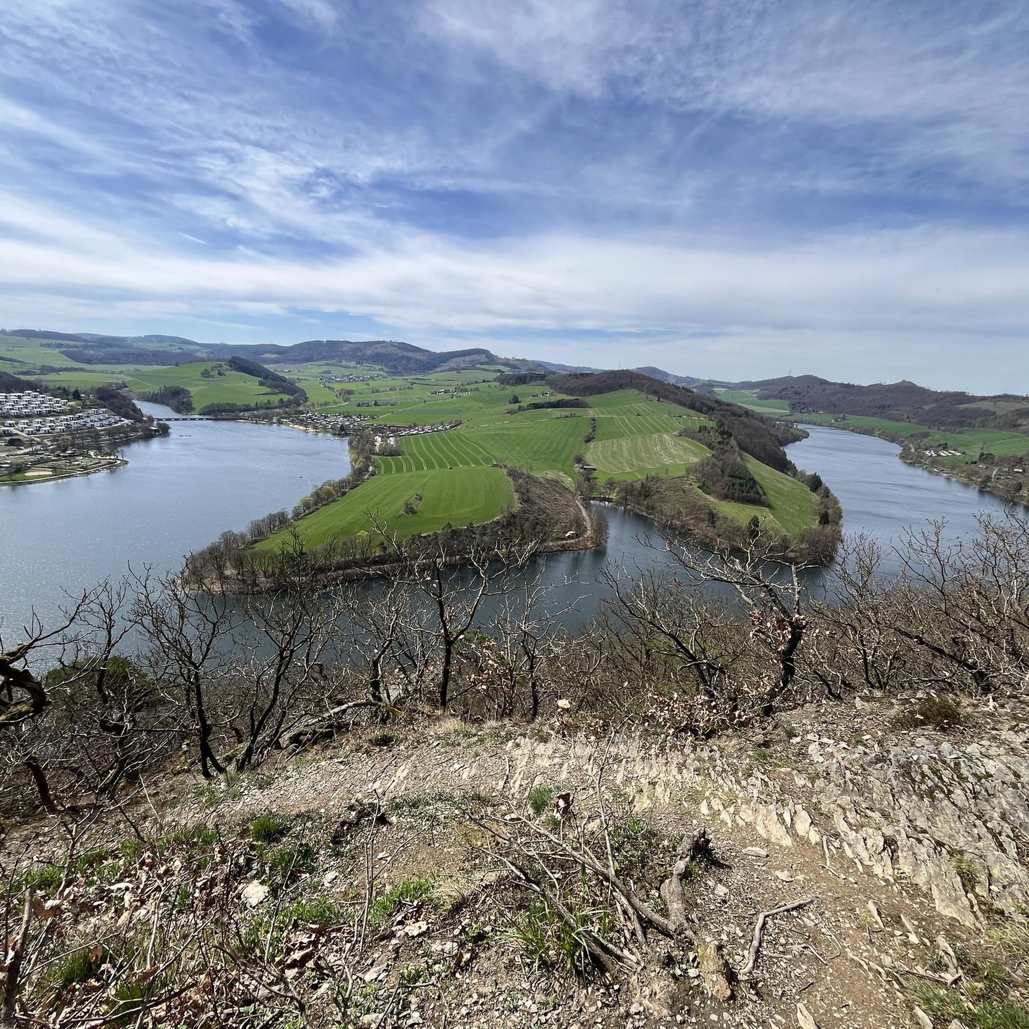
Cycling in Naturpark Diemelsee
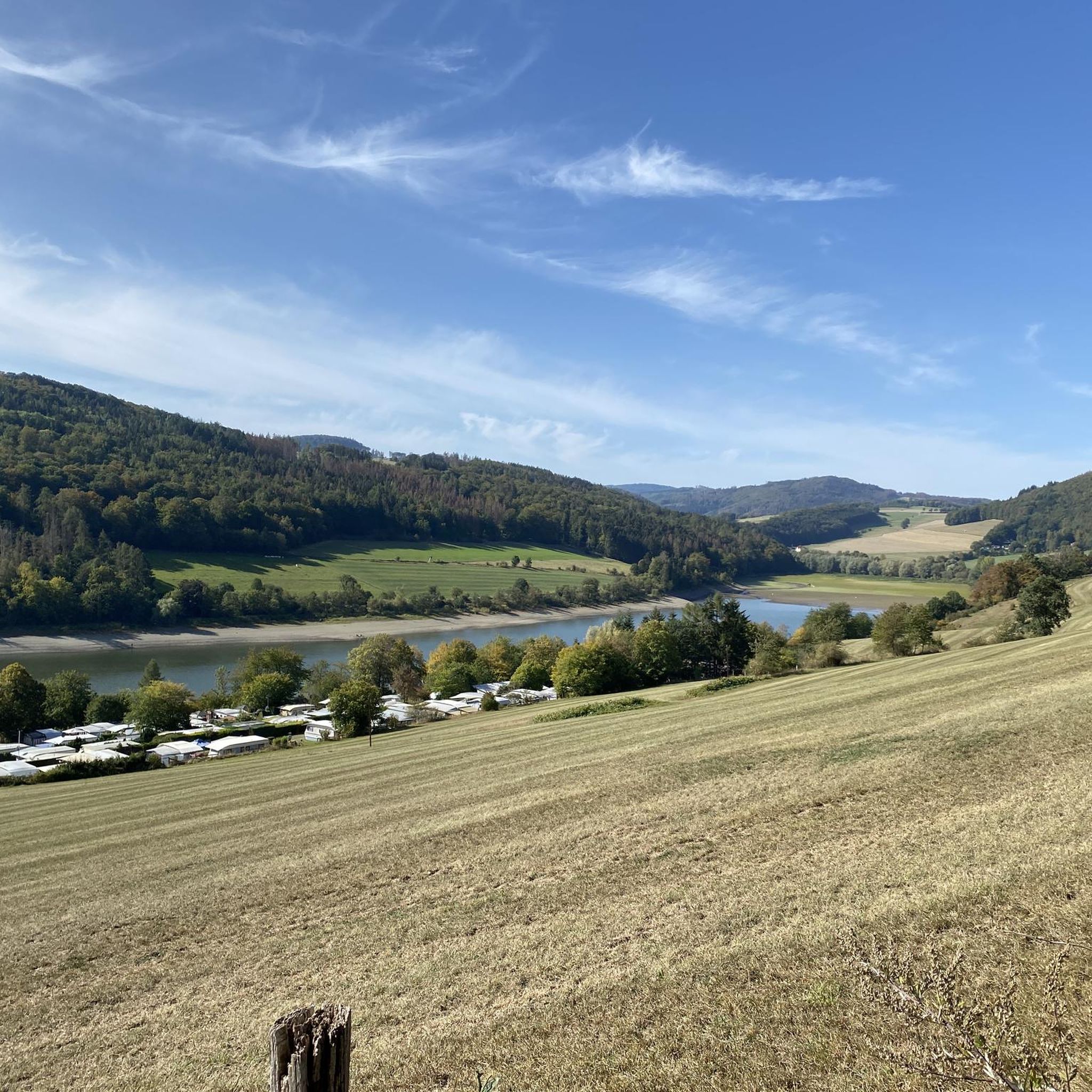
Road Cycling Routes in Naturpark Diemelsee
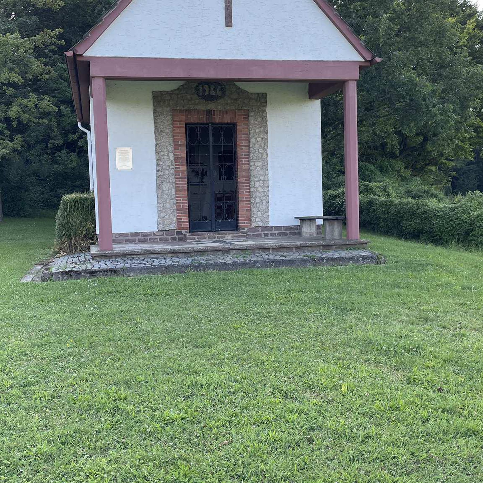
Gravel biking in Naturpark Diemelsee
Running Trails in Naturpark Diemelsee
Other adventures in Naturpark Diemelsee


Tips from the Community

A church building that shapes the townscape is the Catholic parish church of St. Augustine in the town of Willingen. Further information: https://de.wikipedia.org/wiki/St._Augustinus_(Willingen)
0
0

More difficult to cross in winter when the ground is covered in snow. ❄️
0
0
Great information panels along the entire circular route take you back to a bygone era and into the geology of today. 🪨😎🥾
1
0

A different architectural style for a church.
0
0

Right in the center
1
0

Be sure to go up and enjoy the view
0
0

It is the Catholic parish church in Willingen. It was built in 1965/66 according to plans by the architect Hugo Siepmann. The tower consists of two masonry slabs positioned at acute angles to each other.
1
0

The Feldstein is the only one of the four rocks open to the public. Its summit is approximately 756 meters high. The ascent is easily accessible via a staircase carved into the stone with safety barriers. However, sturdy footwear and surefootedness are essential for climbing the rock (not for dogs). Source: https://www.bruchhauser-steine.de/ausflugsziel-bruchhauser-steine/
2
0
Frequently Asked Questions
How many mountaineering routes are available in Naturpark Diemelsee?
You'll find a selection of 12 mountaineering routes in Naturpark Diemelsee on komoot, catering to various skill levels. This includes 3 easy, 6 moderate, and 3 difficult trails, ensuring there's something for every mountaineer.
What kind of terrain can I expect on mountaineering routes in Naturpark Diemelsee?
Mountaineering in Naturpark Diemelsee offers a diverse experience within the Rothaargebirge low mountain range. You'll traverse high mountains, wide valleys, and dense forests, with extensive woodlands and crystal-clear streams. Notable peaks like Langenberg and Hegekopf, both reaching 843 meters, provide opportunities for significant ascents and descents. The landscape also features valuable habitats like high heaths and geological sites.
What do other mountaineers enjoy most about the routes in Naturpark Diemelsee?
The mountaineering routes in Naturpark Diemelsee are highly rated by the komoot community, with an average score of 4.5 stars from more than 10 reviews. Mountaineers often praise the varied terrain, the stunning views, and the well-maintained paths that lead through forests and past the beautiful Diemelsee lake.
Are there any challenging mountaineering routes in Naturpark Diemelsee?
Yes, Naturpark Diemelsee offers several challenging mountaineering routes. For instance, the Feldstein (Bruchhauser Steine) loop from Elleringhausen is an 8.7-mile (13.9 km) trail with over 500 meters of elevation gain, taking approximately 4 hours 37 minutes to complete. Another difficult option is the Bornstein (Bruchhauser Steine) – Goldstein (Bruchhauser Stones) loop from Bruchhausen, which features nearly 200 meters of ascent over 3.4 miles (5.4 km).
Are there any easy mountaineering routes suitable for beginners or a relaxed day out?
Absolutely. For an easier mountaineering experience, consider the Gaugreben’s Jägersteig – View of Bruchhausen loop from Bruchhausen. This 3.4-mile (5.5 km) route is classified as easy, with around 260 meters of elevation gain, making it a pleasant option for those seeking a less strenuous hike.
What are some notable landmarks or natural features to look out for along the routes?
Naturpark Diemelsee is rich in natural and historical landmarks. You can explore geological sites like the 'Korbacher Spalte' and the 'Adorf Cliff,' known for its gold deposits. The impressive Diemeltalsperre (Diemel Dam power station) is a protected historical monument. You might also encounter various caves, such as the Draken Caves, Obermarsberg, or the Natural Slate Cave by the Trail. The park also features nine nature protection areas safeguarding diverse flora and fauna.
Are there any circular mountaineering routes in Naturpark Diemelsee?
Yes, many of the mountaineering routes in Naturpark Diemelsee are circular, offering convenient starting and ending points. For example, the Suspension Bridge Sauerland – Ettelsberg Observation Tower loop from Willingen is a popular 10.2-mile (16.4 km) circular trail. Another option is the Mühlenkopfschanze Ski Jump – Large pit loop from Mühlenkopfschanze, which is a moderate 5.0-mile (8.1 km) circular path.
What is the best time of year for mountaineering in Naturpark Diemelsee?
The Naturpark Diemelsee is enjoyable for mountaineering throughout much of the year. Spring and autumn offer pleasant temperatures and vibrant scenery with colorful deciduous and mixed forests. Even in winter, the higher elevations of the Willinger Upland provide prepared trails for winter hiking, allowing you to experience the snowy landscape.
Are there opportunities for multi-day mountaineering adventures?
Yes, for those interested in multi-day adventures, Naturpark Diemelsee offers trekking sites for overnight stays in nature. Additionally, the park is home to renowned long-distance paths like the Uplandsteig, Diemelsteig, Briloner Kammweg, Rothaarsteig, and the Sauerland-Höhenflug, which can be explored over several days.
Can I find places to rest or take shelter along the trails?
Yes, you can find various shelters and huts along the trails in Naturpark Diemelsee. For instance, there's the Dreiskopf Summit and Shelter, or a Shelter on the European Long-Distance Trail E1 (Marsberg Forest). These provide convenient spots for a break or to take cover from the weather.
Are there any specific viewpoints that offer panoramic views of the region?
The Naturpark Diemelsee is known for its rewarding panoramic views. The Panoramaweg Diemelsteig, for example, provides stunning vistas of the Diemelsee lake. Trails like the Hoch-Eimberg-Pfad are also noted for their steep ascents leading to rewarding panoramic views of the surrounding low mountain range and forests.
Is public transport available to access mountaineering routes in Naturpark Diemelsee?
While specific public transport details for every trailhead are best checked locally, the region does have connections to towns like Korbach, Brilon, and Marsberg. For detailed information on reaching specific starting points, it's advisable to consult local transport schedules or the official Naturpark Diemelsee website for current options.
Most popular routes in Naturpark Diemelsee
Most popular attractions in Naturpark Diemelsee

Get inspired with the komoot mobile app


Explore more
Browse the best Mountain Hikes & Routes in other regions.
