The best mountain hikes in Veursbos-Roodbos-Vossenaerde Bosreservaat
4.8
(4)
12
hikers
8
hikes
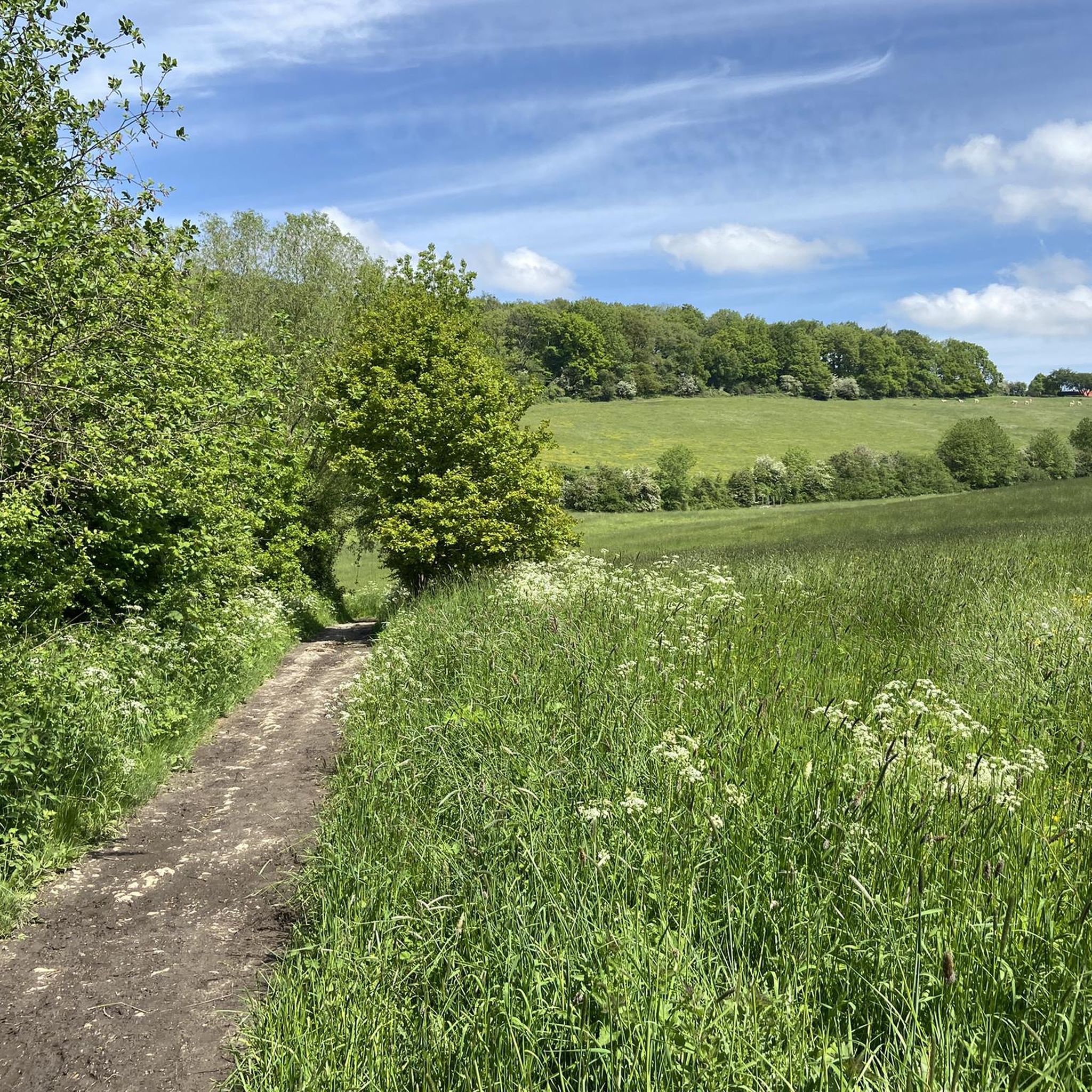
Mountaineering routes in Veursbos-Roodbos-Vossenaerde Bosreservaat are characterized by varied and challenging terrain within a slope forest. The region is situated atop a ridge, reaching elevations of approximately 284 meters, offering elevated positions with views of surrounding valleys. Steep slopes are present, contributing to the demanding nature of the trails. The area also serves as a watershed for streams like the Gulp, Veurs, and Noor, featuring diverse flora including limestone species.
Best mountaineering routes in Veursbos-Roodbos-Vossenaerde Bosreservaat
- The most popular mountaineering…
Last updated: July 15, 2026
2
hikers
Moderate mountaineering route. Good fitness required. Easily-accessible paths. Suitable for all skill levels.
9.01km
02:29
160m
160m
Moderate mountaineering route. Good fitness required. Easily-accessible paths. Suitable for all skill levels.

Sign up for free
1
hikers
15.9km
04:27
300m
300m
Moderate mountaineering route. Good fitness required. Easily-accessible paths. Suitable for all skill levels.
1
hikers
6.86km
01:53
120m
120m
Easy mountaineering route. Great for any fitness level. Easily-accessible paths. Suitable for all skill levels.
2
hikers
Moderate mountaineering route. Good fitness required. Easily-accessible paths. Suitable for all skill levels.
Get access to more routes and recommendations from other explorers.
Sign up for free
Already have an account?
Our route recommendations are based on thousands of hikes, rides, and runs completed by other people on komoot.
Start today with a free account
Your next adventure awaits.
Login or Signup
Popular around Veursbos-Roodbos-Vossenaerde Bosreservaat
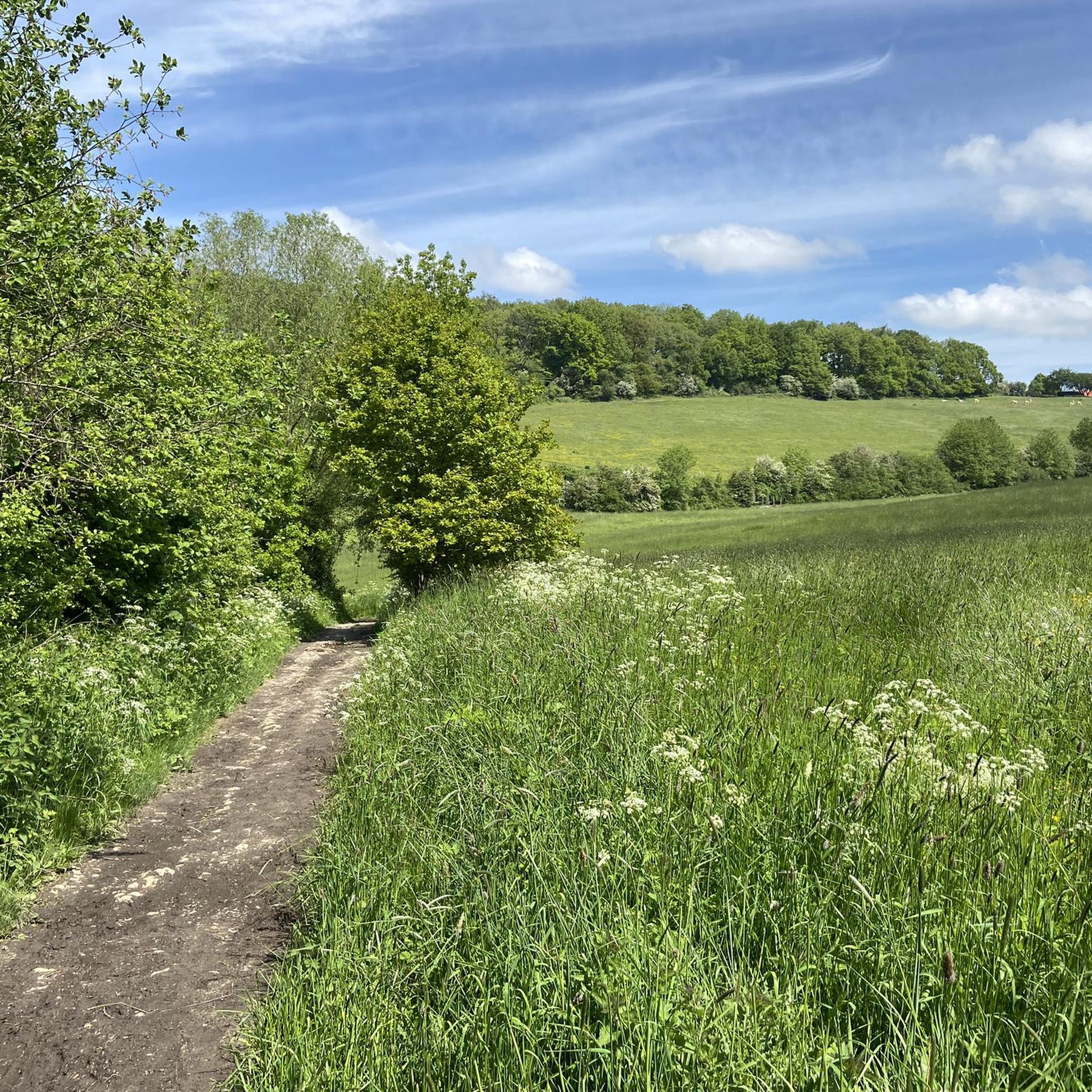
Hiking in Veursbos-Roodbos-Vossenaerde Bosreservaat
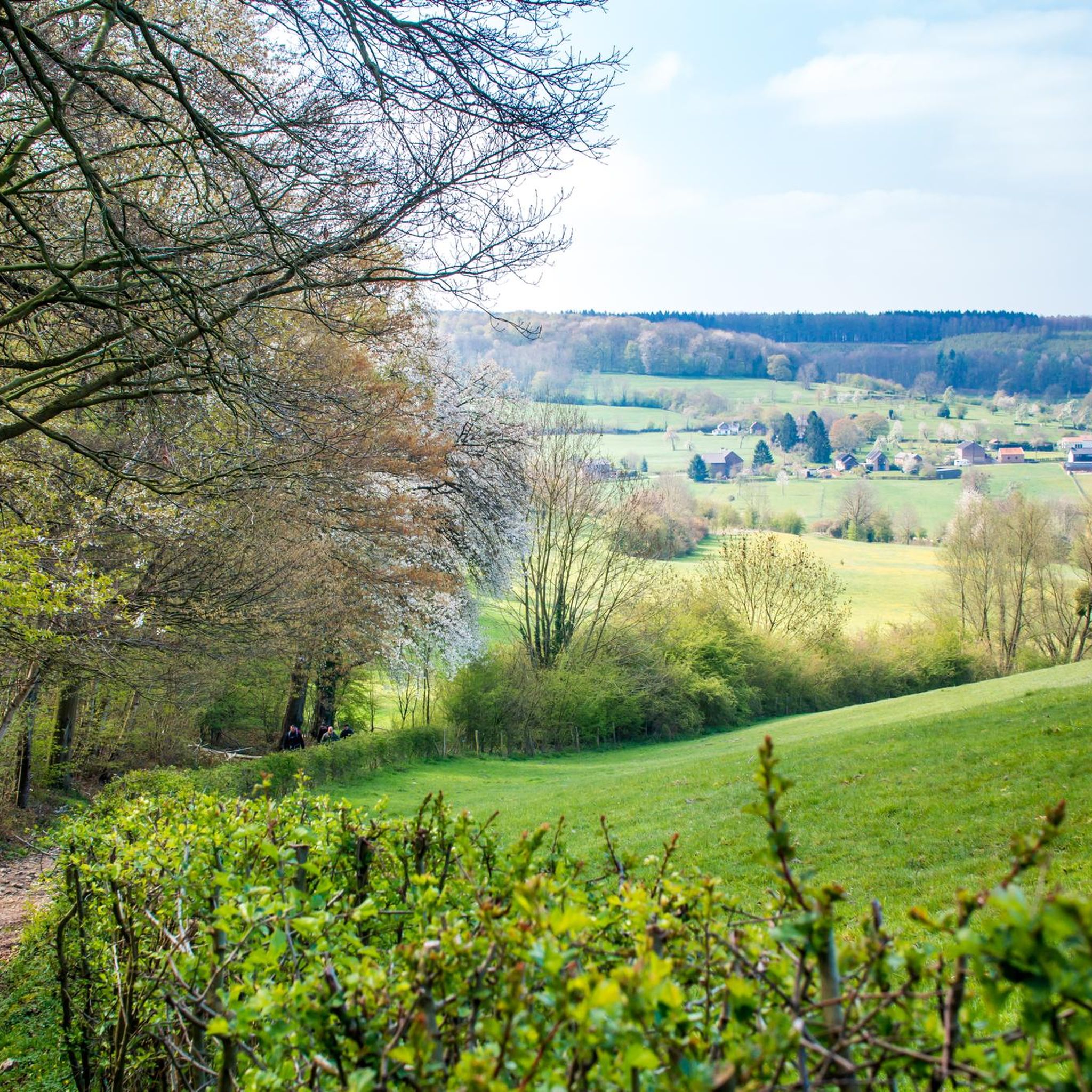
MTB Trails in Veursbos-Roodbos-Vossenaerde Bosreservaat
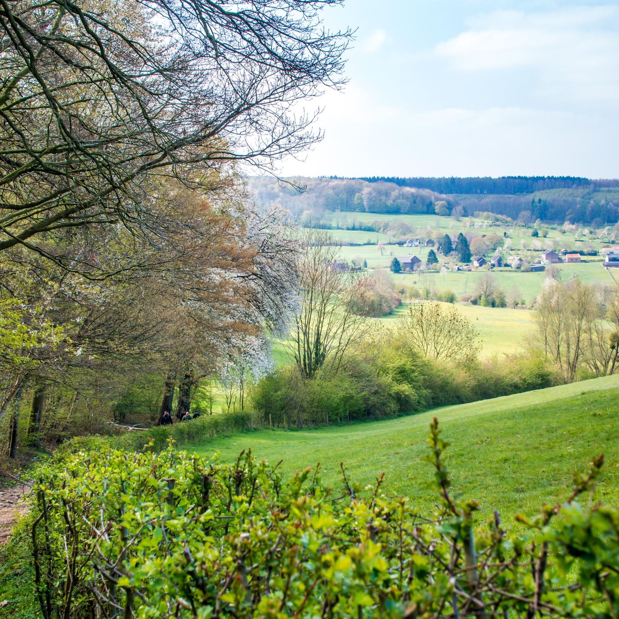
Cycling in Veursbos-Roodbos-Vossenaerde Bosreservaat
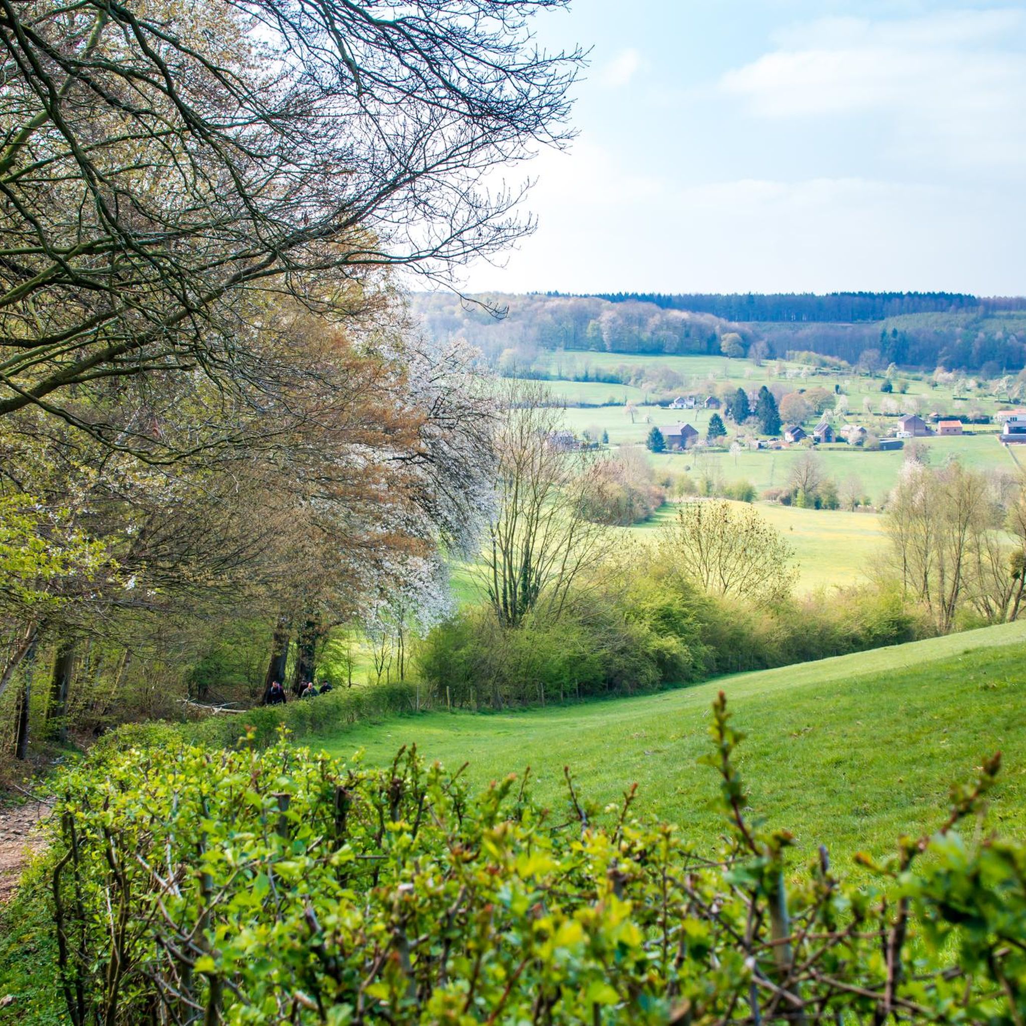
Road Cycling Routes in Veursbos-Roodbos-Vossenaerde Bosreservaat
Running Trails in Veursbos-Roodbos-Vossenaerde Bosreservaat

Gravel biking in Veursbos-Roodbos-Vossenaerde Bosreservaat
Tips from the Community

One of the most beautiful forests in the Voerstreek. Enjoy winding paths, old trees, and the silence of this beautiful nature reserve between the hills. 🌳🍂🚶♂️🚴♀️
1
0

The origin of this dry valley dates back to the ice ages. Thanks to different soil types, diverse plants grow in the valley, which in turn attracts many animals. Some are ecologically very valuable and even enjoy European protection. The fact that so many animals can be admired here is therefore directly related to the valley's origin story. The steep southwest-facing slope is more calcareous than the rest of the nature reserve. That specific soil and the microclimate on the slope ensure that calcareous grasslands thrive here excellently. These grasslands are a paradise for insects such as grasshoppers and butterflies. The northeast-facing, much less steep slope consists almost entirely of meadows and high-stemmed orchards with a mosaic of species-rich calcareous grasslands and Yorkshire fog grasslands. Natuur en Bos (Nature and Forest) wants to preserve and further develop certain grasslands. We do this, together with local farmers, by implementing localized mowing with subsequent grazing. The hawthorn hedges are also pruned annually. We leave some old, tall-growing hedges standing, creating hedgerows full of berries and flowers.
5
0

The rock formations historically originate from the Meno valley and are approx. 2 million years old
4
0

A beautiful view over the hills of the Voer region.
0
0

The Veurs Valley is one of the most characteristic and ecologically valuable valleys in the Voer region. It is located around the hamlet of Veurs (Sint-Martens-Voeren) and is characterized by a small-scale, undulating cultural landscape with stream valleys, sloping forests, standard orchards, and half-timbered farms.
14
0
Beautiful view of the Veurs Valley. What a stunning view the residents have there.
10
0

The Eyser Heuvelrug is a striking ridge in South Limburg, between the Eys and Geuldal valleys. The area is known for its steep slopes, panoramic views, and lush natural beauty. It's a popular destination for cyclists and hikers, particularly thanks to the famous Eyserbosweg climb. The ridge is part of the South Limburg National Landscape and reflects the region's characteristic hilly landscape.
1
0

Pleasant walking trails, forest and a view of a green valley 👌
3
0
Frequently Asked Questions
What kind of mountaineering experience can I expect in Veursbos-Roodbos-Vossenaerde Bosreservaat?
The region offers challenging hikes through a slope forest with varied and often steep terrain, reaching elevations of approximately 284 meters. While the trails are demanding and provide rewarding views, they are primarily suited for vigorous hiking rather than technical mountaineering or rock climbing. Expect to navigate steep slopes and enjoy diverse landscapes.
How many mountaineering routes are available in Veursbos-Roodbos-Vossenaerde Bosreservaat?
There are 8 mountaineering routes documented in Veursbos-Roodbos-Vossenaerde Bosreservaat. These include 2 easy routes and 6 moderate routes, offering options for various fitness levels.
Are there any easy or beginner-friendly routes in the area?
Yes, there are 2 easy routes available. One option is the Streversdorp Castle (Graaf) – View of Montzen loop from Henri-Chapelle, which is 6.9 km long and features a manageable elevation gain, making it a good choice for those seeking a less strenuous experience.
What are some popular circular routes for mountaineering in Veursbos-Roodbos-Vossenaerde Bosreservaat?
Many of the routes in the area are circular, allowing you to start and end at the same point. Popular options include the Café Mother Goose – Trail through Veursbos Valley loop from Voeren - Fourons (9.1 km) and the Veurs Valley – Vrouwenbos Nature Reserve loop from Voeren - Fourons (9.0 km).
What are the best seasons to go mountaineering in Veursbos-Roodbos-Vossenaerde Bosreservaat?
Spring and autumn are particularly enchanting seasons for visiting. In spring, you can enjoy vibrant displays of wildflowers and unique limestone flora, while autumn offers rich autumnal colors. The varied terrain and forest cover make it enjoyable across different seasons, but sturdy footwear is always recommended due to steep slopes.
What kind of wildlife and flora can I observe along the trails?
The reserve is a vital ecological corridor, home to diverse flora including unique limestone species and orchids. You might also spot wildlife such as badgers, hawks, and owls, making it an excellent spot for nature observation.
Are there any scenic viewpoints or attractions along the routes?
Yes, the elevated positions offer rewarding views of the surrounding valleys. You can find highlights such as the Beautiful view across the Veurs valley and the Veurs Forest climb. The Trail through Veursbos Valley itself is a notable attraction.
What do other mountaineers say about the routes in Veursbos-Roodbos-Vossenaerde Bosreservaat?
The routes in Veursbos-Roodbos-Vossenaerde Bosreservaat are highly rated by the komoot community, with an average score of 4.8 stars from 4 reviews. Users often praise the beautiful forest, challenging ascents, and rewarding views.
Are the trails in Veursbos-Roodbos-Vossenaerde Bosreservaat suitable for families?
While the area features challenging terrain and steep slopes, some of the easier routes might be suitable for active families. However, it's important to wear sturdy footwear and be prepared for varied conditions. Consider routes like the Streversdorp Castle (Graaf) – View of Montzen loop from Henri-Chapelle for a less demanding option.
Can I access the Veursbos-Roodbos-Vossenaerde Bosreservaat trails using public transport?
The region is well-known for its extensive network of paths. While specific public transport links to trailheads are not detailed in the route data, the area is generally accessible. For detailed public transport information, it's advisable to check local transport schedules for the municipality of Voeren.
Are there any cafes or pubs near the mountaineering routes?
The region features historic farms and half-timbered houses, and local communities often have establishments. While specific cafes are not listed for each route, the Café Mother Goose – Trail through Veursbos Valley loop from Voeren - Fourons route name suggests there are options for refreshments nearby.
What should I pack for a mountaineering trip in this region?
Given the steep slopes and varied terrain, sturdy footwear is highly recommended. Additionally, consider packing water, snacks, appropriate clothing layers for changing weather, and navigation tools. The trails can be challenging, so being well-prepared is key.
Most popular routes in Veursbos-Roodbos-Vossenaerde Bosreservaat
Most popular attractions in Veursbos-Roodbos-Vossenaerde Bosreservaat

Get inspired with the komoot mobile app


Explore more
Browse the best Mountain Hikes & Routes in other regions.
