The best road cycling routes in Zweifaller Und Rotter Wald
4.4
(764)
8,715
riders
263
rides
Road cycling routes in Zweifaller Und Rotter Wald traverse a large nature reserve characterized by extensive mixed deciduous forests, featuring beech and oak trees. The landscape includes deeply incised stream valleys, such as the Lensbach and Krebsbach, which contribute to the area's varied topography. This undulating terrain, shaped by hills and valleys, offers engaging climbs and descents on mostly paved surfaces, suitable for road cyclists.
Best road cycling routes in Zweifaller Und Rotter Wald
- The most popular road cycling route is View of the Dreilägerbach Dam – Old Raeren Station loop from Rott, a 21.8 miles (35.2 km) trail that takes 1 hour 30 minutes to complete. This moderate route features varied terrain and scenic views.
- Another top favourite among local road cyclists is St. Rochus Church in Zweifall – Jägerhausstraße Climb loop from Rott, a moderate 18.7 miles (30.1 km) path. This route includes a notable climb and passes through forested areas.
- Local road cyclists also love the Nothberg Castle Ruins – Inde River through Weisweiler loop from Mausbach, a 17.3 miles (27.8 km) trail leading through varied landscapes, often completed in about 1 hour 15 minutes.
- Road cycling in Zweifaller Und Rotter Wald is defined by extensive forests, scenic stream valleys, and undulating hills. The network offers options for different ability levels, from easy rides to more challenging routes with significant elevation gain.
- The routes in Zweifaller Und Rotter Wald are highly rated by the komoot community with an average score of 4.5 stars from over 760 reviews. More than 10,000 road cyclists have used komoot to explore Zweifaller Und Rotter Wald's varied terrain.
Last updated: October 15, 2026
4.6
(13)
146
riders
35.2km
01:30
330m
330m
Moderate road ride. Good fitness required. Mostly well-paved surfaces and easy to ride.
5.0
(1)
28
riders
29.6km
01:22
360m
360m
Moderate road ride. Good fitness required. Mostly well-paved surfaces and easy to ride.

4.7
(3)
23
riders
Easy road ride. Great for any fitness level. Mostly well-paved surfaces and easy to ride.
5.0
(1)
16
riders
Easy road ride. Great for any fitness level. Mostly well-paved surfaces and easy to ride.
14
riders
Easy road ride. Great for any fitness level. Mostly well-paved surfaces and easy to ride.
Get access to more routes and recommendations from other explorers.
Already have an account?
Our route recommendations are based on thousands of hikes, rides, and runs completed by other people on komoot.
Start today with a free account
Your next adventure awaits.
Popular around Zweifaller Und Rotter Wald
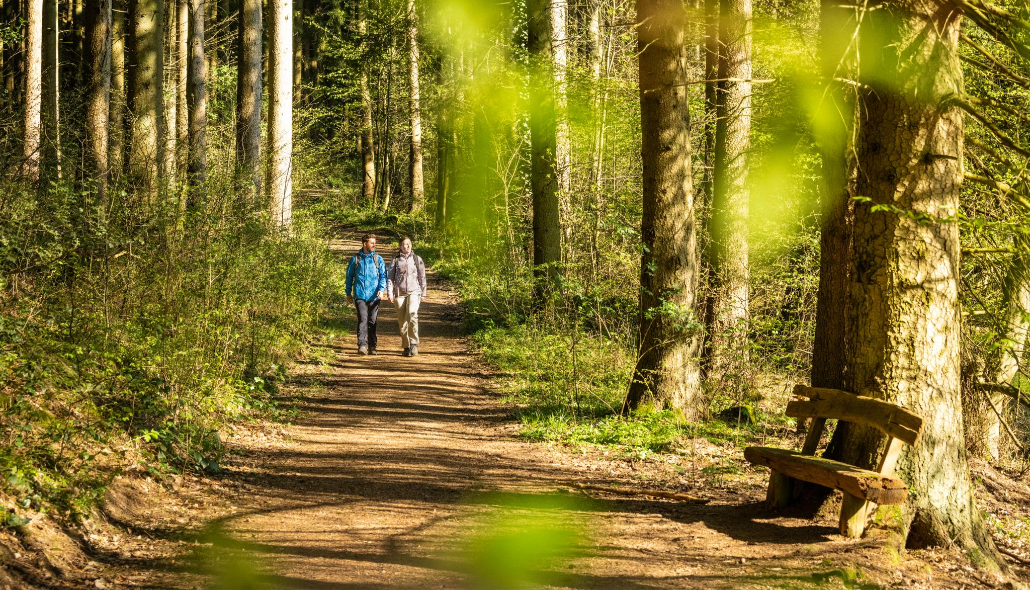
Wasser, Wald, Wildnis – Natur rund um die Kupferstadt Stolberg erleben
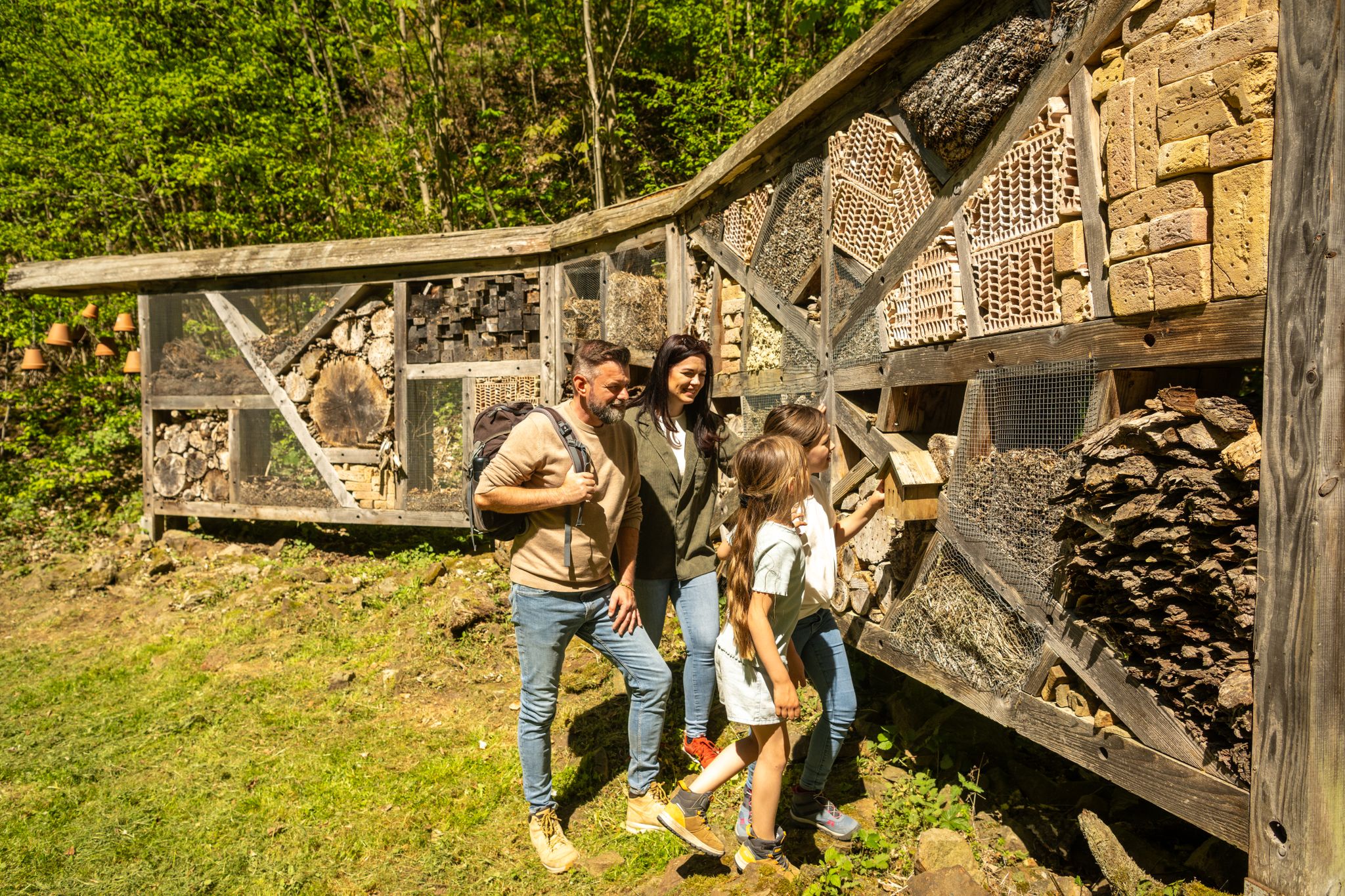
Familienrunden für Wissensdurstige – Kupferstadt Stolberg
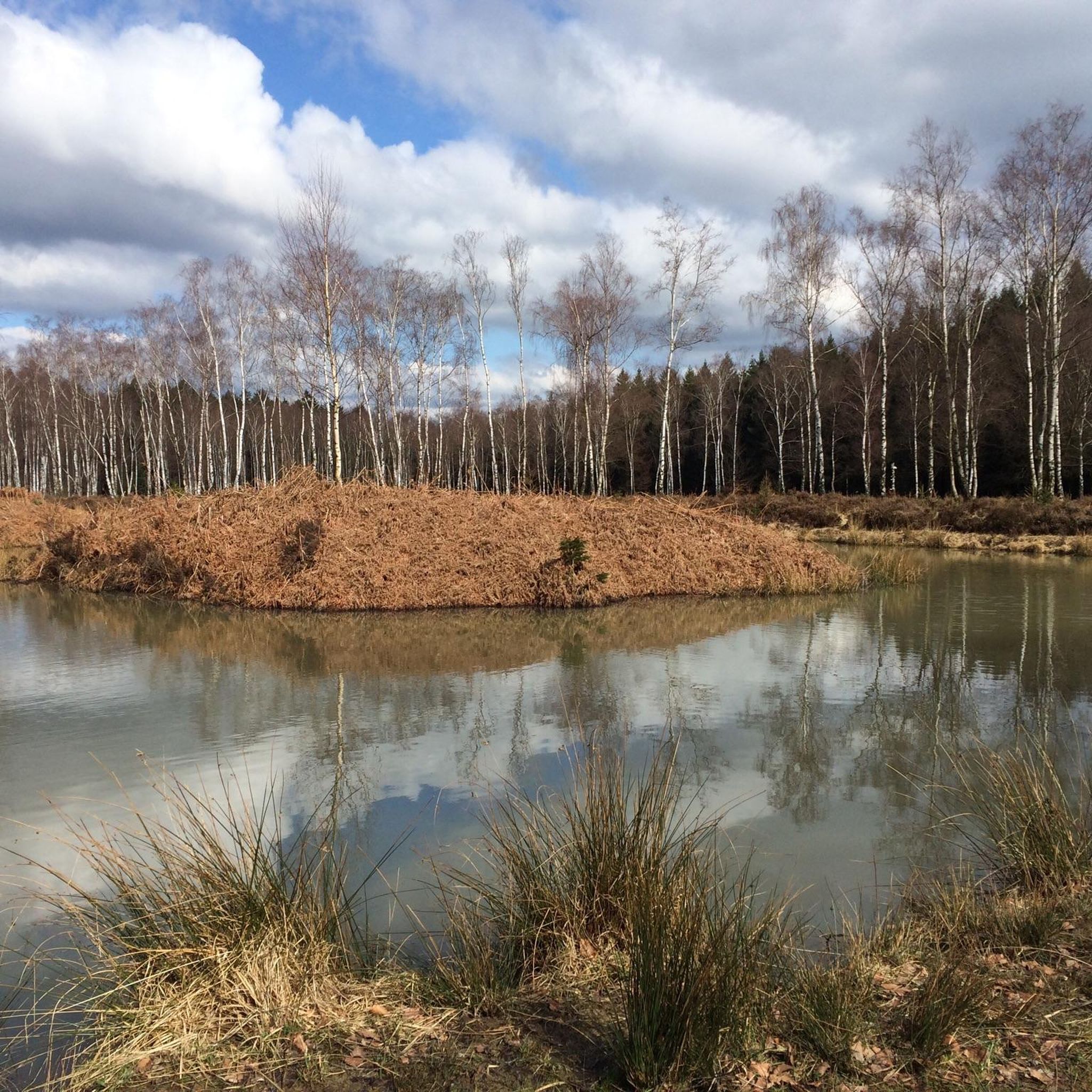
Hiking in Zweifaller Und Rotter Wald
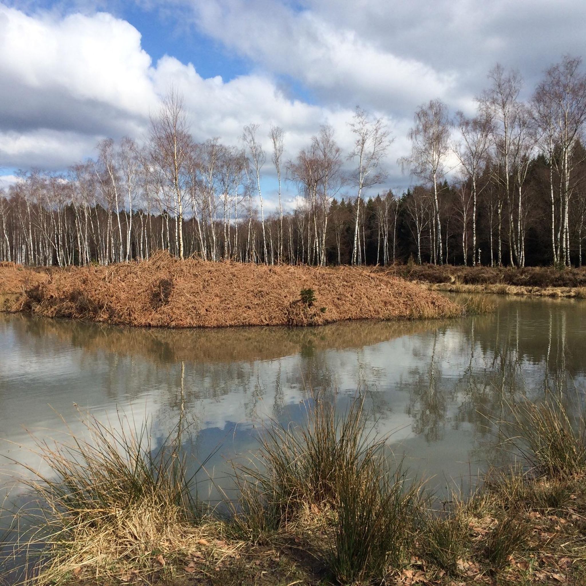
Cycling in Zweifaller Und Rotter Wald
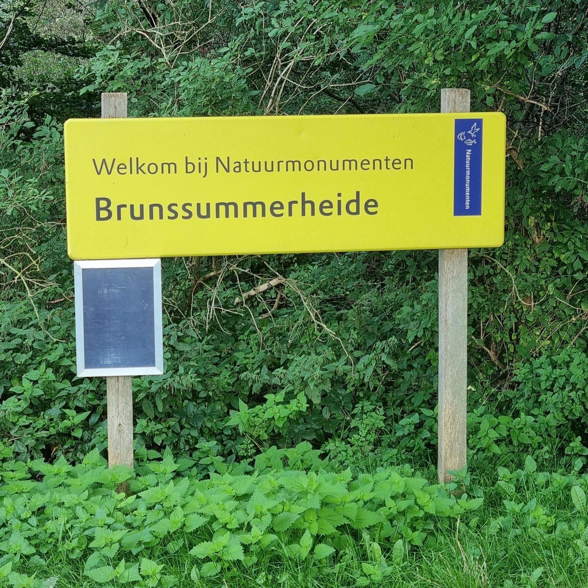
Gravel biking in Zweifaller Und Rotter Wald
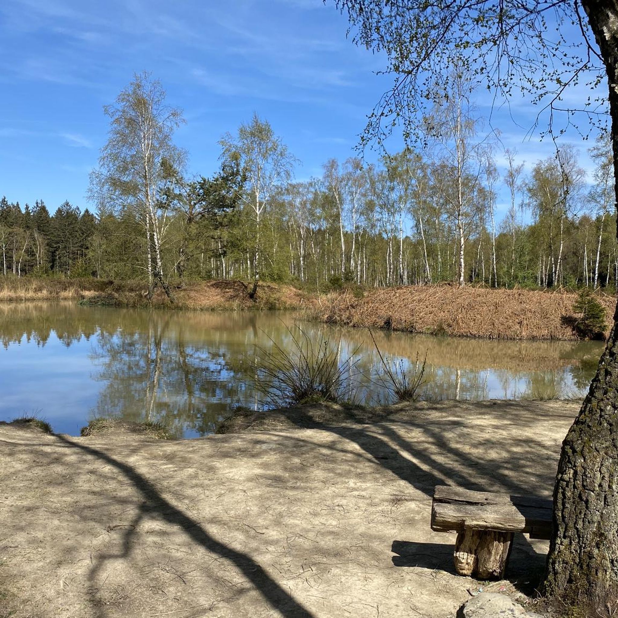
MTB Trails in Zweifaller Und Rotter Wald
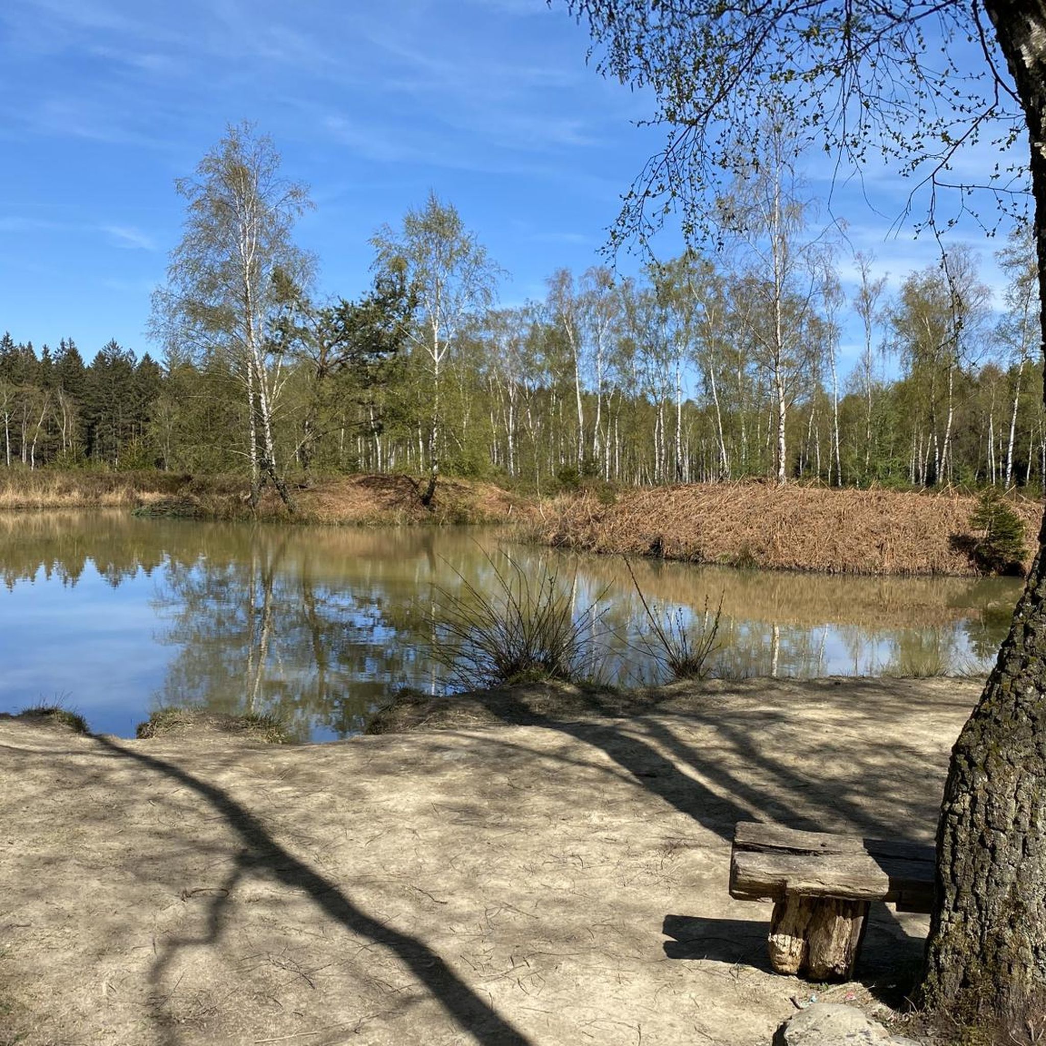
Running Trails in Zweifaller Und Rotter Wald

Mountain Hikes in Zweifaller Und Rotter Wald

Tips from the Community

The Vennbahn is one of the longest cycle paths along disused railway lines in Europe. It leads through 3 countries, is completely asphalted and has only slight inclines.
0
0

long and magnificent paved road in the heart of nature
0
0

Beautiful old town with a great atmosphere.
1
0

Roubaix in Stolberg (but it's no fun)
0
0

Quiet little street with beautiful views
2
0


Very nice bike path with good asphalt.
1
0

From here, you have a beautiful view of the dam. There are two benches where you can relax.
7
0
Frequently Asked Questions
How many road cycling routes are available in Zweifaller Und Rotter Wald?
Zweifaller Und Rotter Wald offers a wide selection of road cycling routes, with over 230 options available. These routes cater to various skill levels, including 64 easy, 138 moderate, and 31 difficult trails.
What kind of terrain can I expect on road cycling routes in Zweifaller Und Rotter Wald?
The region is characterized by an undulating terrain with hills and valleys, providing engaging climbs and descents. You'll primarily ride on mostly paved surfaces through extensive mixed deciduous forests and scenic stream valleys like the Lensbach and Krebsbach.
Are there road cycling routes suitable for beginners or those seeking an easier ride?
Yes, there are 64 easy road cycling routes in Zweifaller Und Rotter Wald. An example of an easy route is the Nothberg Castle Ruins – Inde River through Weisweiler loop from Mausbach, which is 17.3 miles (27.8 km) long and typically takes about 1 hour 15 minutes.
What natural features or landmarks can I see while road cycling in Zweifaller Und Rotter Wald?
While cycling, you can encounter several natural and unique landmarks. The Struffelt Pond is a notable natural highlight, especially beautiful around dusk. You might also spot the unique Potato Tree, a local landmark with a curious history.
Are there challenging road cycling routes for experienced cyclists?
Absolutely. For experienced cyclists seeking a challenge, there are 31 difficult routes available. The undulating terrain, with its hills and valleys, provides opportunities for significant elevation gain, making for a rewarding physical challenge.
Can I find circular road cycling routes in the region?
Yes, many of the road cycling routes in Zweifaller Und Rotter Wald are designed as loops, allowing you to start and end at the same point. For instance, the popular View of the Dreilägerbach Dam – Old Raeren Station loop from Rott is a 21.8 miles (35.2 km) circular route.
What do other road cyclists enjoy most about the routes in Zweifaller Und Rotter Wald?
The road cycling routes in Zweifaller Und Rotter Wald are highly rated by the komoot community, with an average score of 4.5 stars from over 760 reviews. Cyclists often praise the extensive forests, scenic stream valleys, and the varied terrain that offers both engaging climbs and descents on mostly paved surfaces.
Is parking available for road cyclists in Zweifaller Und Rotter Wald?
Given the popularity of the area for outdoor activities, parking is generally available at common starting points for routes, particularly near villages like Rott or Zweifall. It's advisable to check specific route descriptions on komoot for detailed parking information.
How accessible are the road cycling routes by public transport?
While the region is primarily accessed by car, some areas may have limited public transport connections to nearby towns. For specific route access, it's best to research local bus schedules to determine the closest stops to your desired starting point.
Are there places to eat or stay near the road cycling routes?
The villages surrounding Zweifaller Und Rotter Wald, such as Zweifall and Rott, offer amenities including cafes, pubs, and accommodation options. These can serve as convenient stops for refreshments or overnight stays for cyclists exploring the region.
What is the best time of year for road cycling in Zweifaller Und Rotter Wald?
The region is enjoyable for road cycling through much of the year. Spring and autumn offer pleasant temperatures and beautiful scenery with changing foliage. Summer provides longer daylight hours, while winter can be suitable on clear days, though some paths might be affected by weather conditions.
Are there family-friendly road cycling options in Zweifaller Und Rotter Wald?
Yes, the region includes routes with modest elevation gains and mostly paved surfaces, making them suitable for families. The 64 easy routes are a good starting point for family-friendly rides, allowing for a relaxed experience amidst nature.
Are dogs allowed on road cycling trails in Zweifaller Und Rotter Wald?
As a nature reserve, specific rules regarding dogs may apply. Generally, dogs are permitted on trails but should be kept on a leash to protect wildlife and ensure the safety of other users. Always check local signage for any specific regulations.
Most popular routes in Zweifaller Und Rotter Wald
Most popular attractions in Zweifaller Und Rotter Wald

Get inspired with the komoot mobile app


Explore more
Browse the best Road cycling routes in other regions.
