Nsg Raderveekes Bruch Und Lüttelforster Bruch
Nsg Raderveekes Bruch Und Lüttelforster Bruch
Attractions and Places To See in Nsg Raderveekes Bruch Und Lüttelforster Bruch - Top 20
Attractions and places to see in Nsg Raderveekes Bruch Und Lüttelforster Bruch encompass a diverse natural area in North Rhine-Westphalia, Germany, characterized by wetlands, moist forests, and ancient oak forests. The region is defined by the Schwalm River, which flows through the reserve, offering picturesque riverside paths. Visitors can explore a variety of ecosystems and historical elements, such as the Lüttelforst Mill. This protected natural area provides opportunities for hiking and cycling, with numerous trails routes traversing its varied terrain.
…Last updated: July 5, 2026
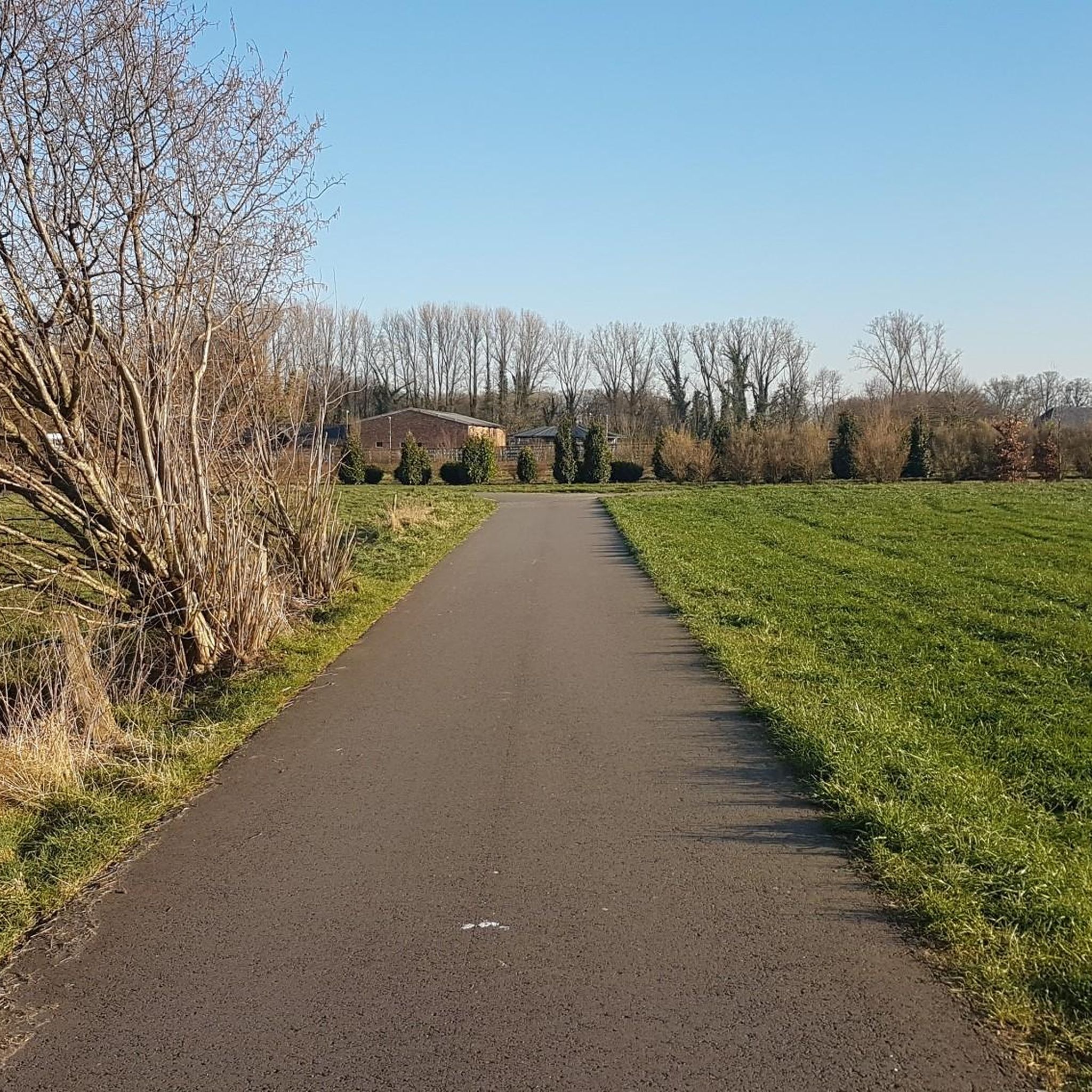
Schwalm River section near Lüttelforster Mill
Highlight (Segment) • River
Translated by Google •
Tip by

Along the Schwalm
Highlight • River
Translated by Google •
Tip by
Sign up now to discover places like this
Get recommendations on the best single tracks, peaks, & plenty of other exciting outdoor places.
Sign up for free
Lüttelforster Mill
Highlight • Restaurant
Translated by Google •
Tip by
Schwalm Riverbank at Niederkrüchten
Highlight • River
Translated by Google •
Tip by

Lüttelforst Scenic Road
Highlight (Segment) • Trail
Translated by Google •
Tip by

Sign up for free to discover even more attractions in Nsg Raderveekes Bruch Und Lüttelforster Bruch.
Sign up for free
Already have an account?
Start today with a free account
Your next adventure awaits.
Login or Signup
Popular around Nsg Raderveekes Bruch Und Lüttelforster Bruch
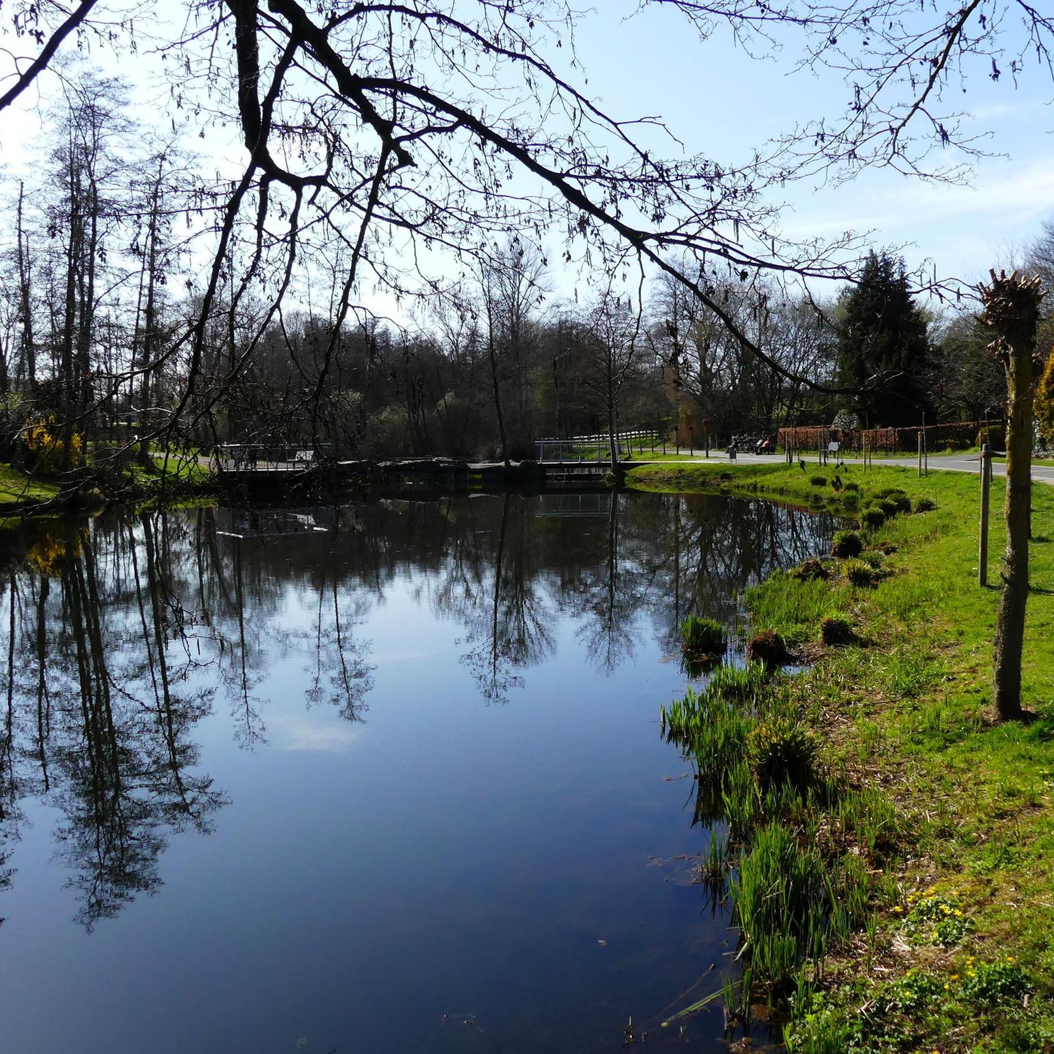
Cycling in Nsg Raderveekes Bruch Und Lüttelforster Bruch
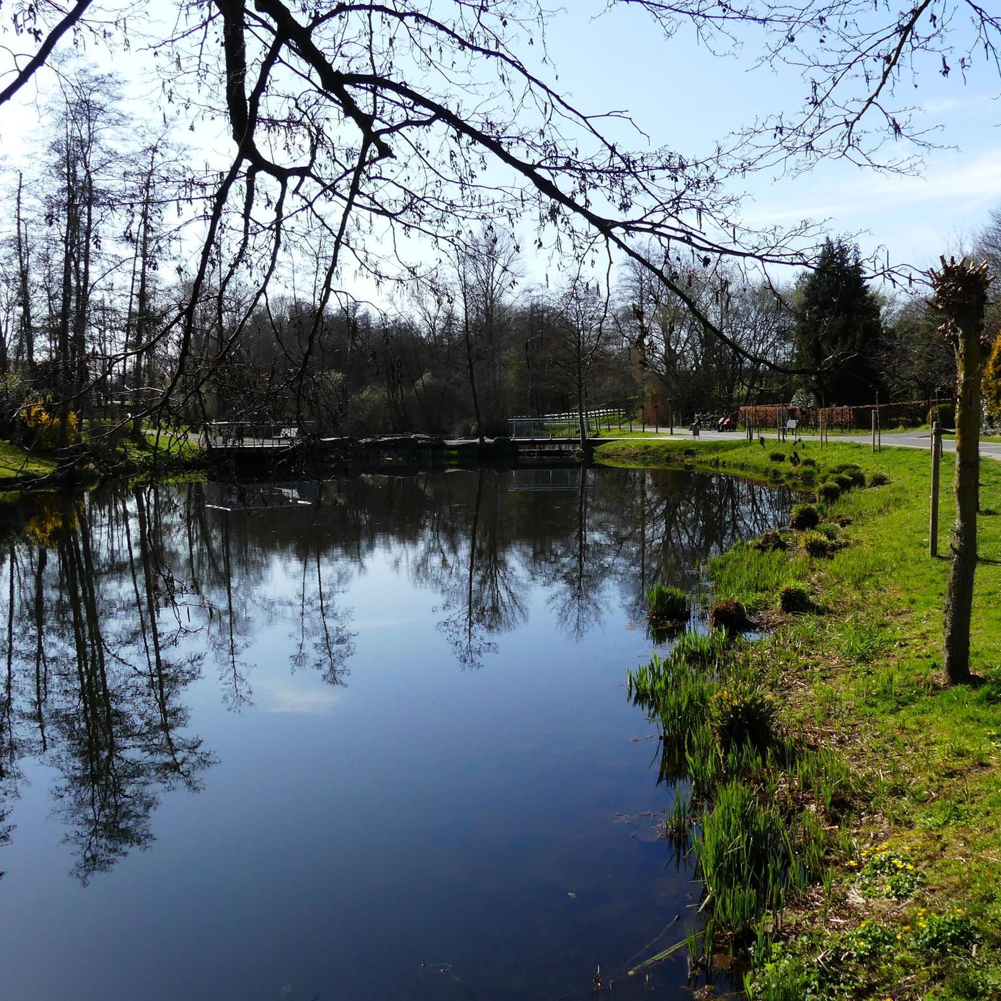
Hiking in Nsg Raderveekes Bruch Und Lüttelforster Bruch
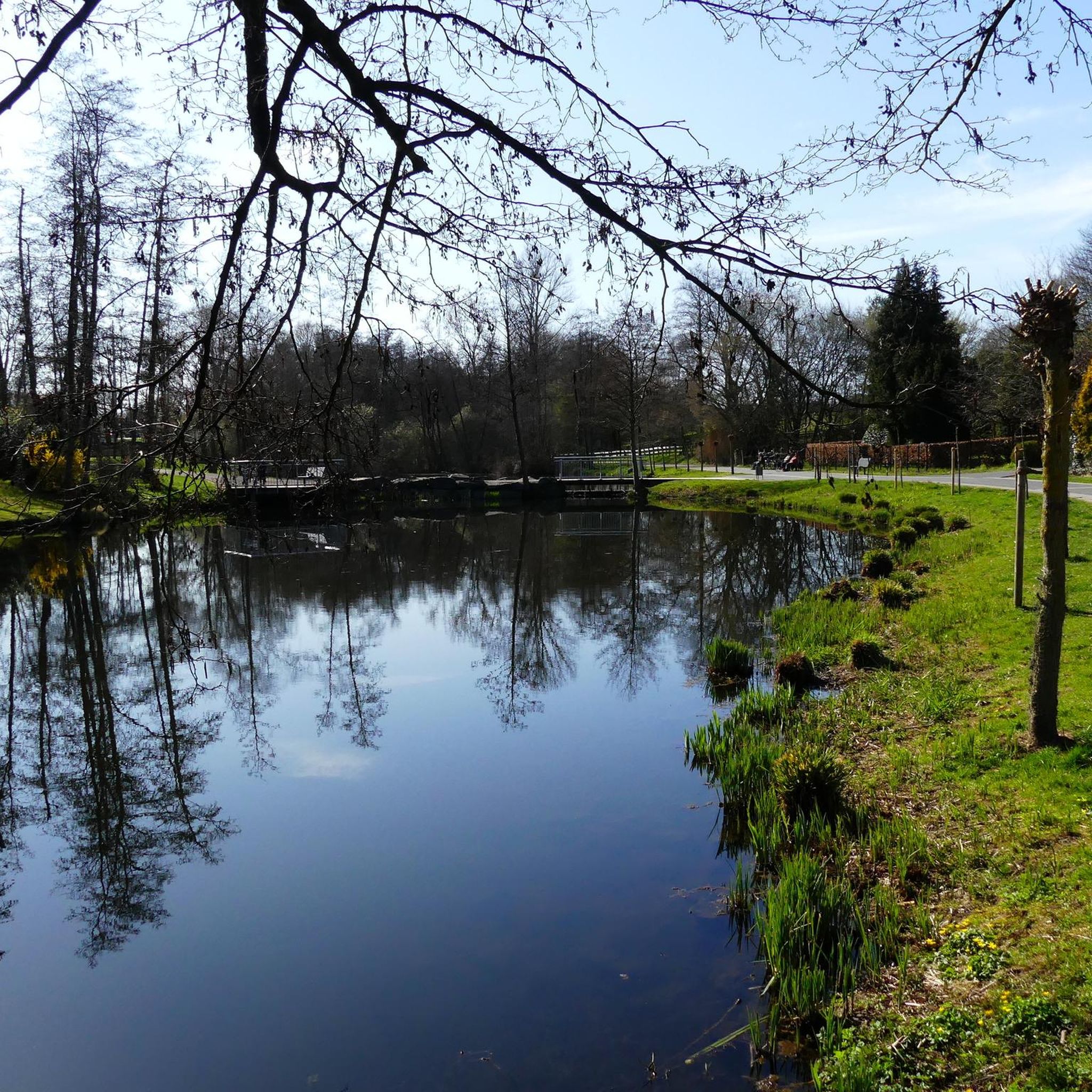
Road Cycling Routes in Nsg Raderveekes Bruch Und Lüttelforster Bruch

Gravel biking in Nsg Raderveekes Bruch Und Lüttelforster Bruch
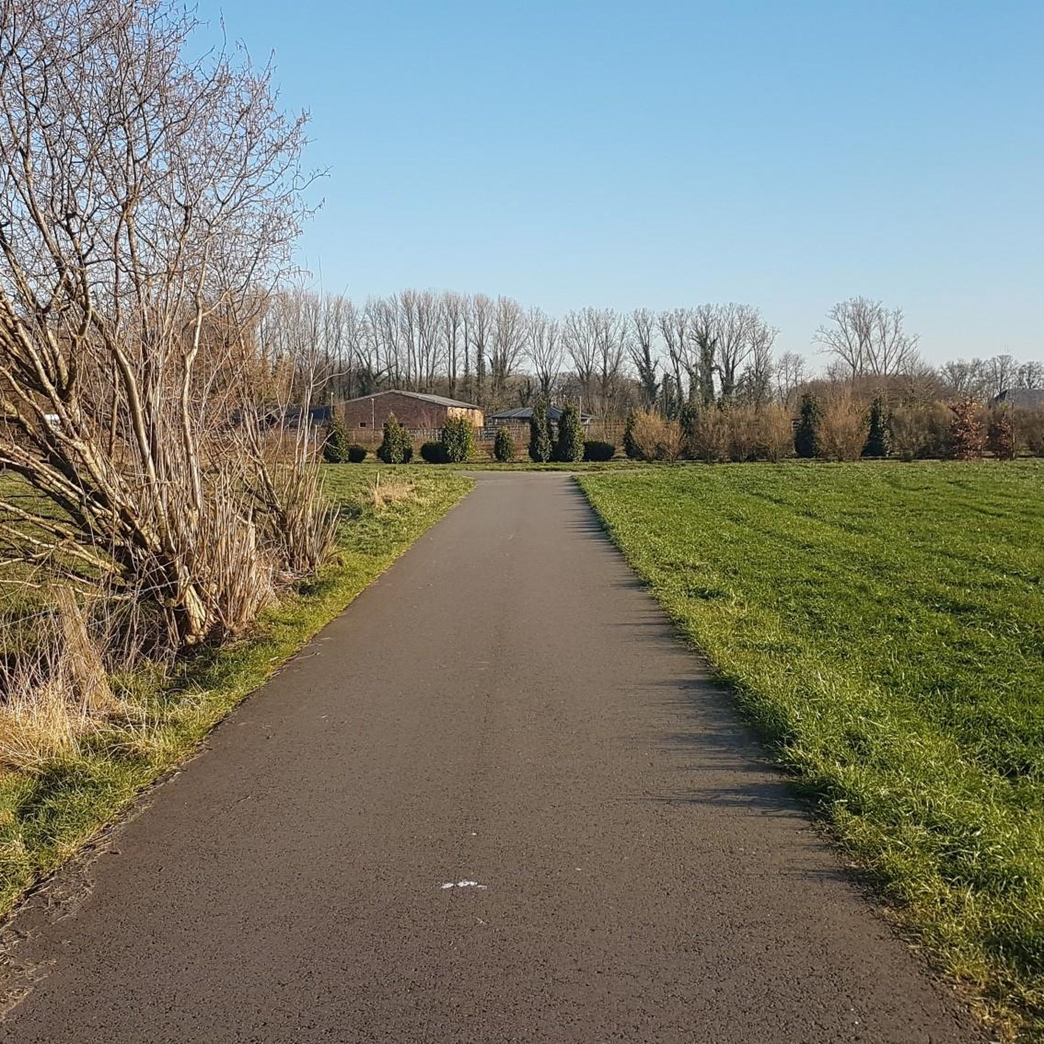
Running Trails in Nsg Raderveekes Bruch Und Lüttelforster Bruch
MTB Trails in Nsg Raderveekes Bruch Und Lüttelforster Bruch
Tips from the Community

Traditionally, this is also called the "Schwalm baptism" or "baptism site" because in summer many children from the surrounding villages play on the shallow banks and then sometimes end up under water. It is good if parents are there. Before the Schwalm was straightened, there was an official bathing establishment with a park and restaurants further north at the Pannenmühle.
7
1

I like to stop there and cool off
3
0
Very nice connecting road from Niederkrüchten to the turnoff to Wegberg or Schwalmtal / Mönchengladbach. Unfortunately, the closed former JHQ blocks the direct onward journey.
4
0
Here is the link to the Lüttelforster Mühle or "Lü" for short. You can also find it on Facebook. https://die-lue.de
10
1

Tiptop 💪 still a beautiful place 💪 will come again no question
3
0

Lüttelforst is a district of the municipality of Schwalmtal in the district of Viersen in North Rhine-Westphalia
5
0

Beautiful bike path along the Schwalm. It is wonderful how the Schwalm is allowed to flow through the surrounding forest areas, wet meadows and small villages, some of which are still in their natural state. The source of the Schwalm is in a wet area south of Wegberg-Tüschenbroich at about 85 m above sea level. NN. From there, its water flows mainly through the Maas-Schwalm-Nette Nature Park, with its river bed running between the Rur, Nette and Niers. From the total length of the river, 45.3 km, to its confluence with the Meuse near the village of Swalmen, 13 km runs on Dutch territory. The estuary is only about 12 m above sea level. Parts of the course of the river, which takes the water of the Schwalm past Wegberg, Niederkrüchten, Schwalmtal, Brüggen-Born, Brüggen and Swalmen, among other places, are characterized by a varied and natural meander course. Source: https://de-academic.com/dic.nsf/dewiki/1259388
7
0
Beautiful bike path along the Schwalm. The source of the Schwalm is in a wet area south of Wegberg-Tüschenbroich at about 85 m above sea level. NN. From there, its water flows mainly through the Maas-Schwalm-Nette Nature Park, with its river bed running between the Rur, Nette and Niers. From the total length of the river, 45.3 km, to its confluence with the Meuse near the village of Swalmen, 13 km runs on Dutch territory. The estuary is only about 12 m above sea level. Parts of the course of the river, which takes the water of the Schwalm past Wegberg, Niederkrüchten, Schwalmtal, Brüggen-Born, Brüggen and Swalmen, among other places, are characterized by a varied and natural meander course. Source: https://de-academic.com/dic.nsf/dewiki/1259388
11
3
Frequently Asked Questions
What natural features can I explore in Nsg Raderveekes Bruch Und Lüttelforster Bruch?
The area is rich in diverse natural features, including the picturesque Schwalm River, extensive wetlands, moist forests, moors, and ancient oak forests. You can experience the river up close on trails like the Beautiful trail along the Schwalm or relax by the water at the Schwalm Riverbank at Niederkrüchten.
Are there any historical sites to visit in the nature reserve?
Yes, the most notable historical site is the Lüttelforster Mill. Documented since 1456, this former oil and grain mill now houses a hotel-restaurant and features a fish ladder, making it a beautiful spot for hikers. The mill is a popular destination in the region.
What kind of outdoor activities can I do in Nsg Raderveekes Bruch Und Lüttelforster Bruch?
The nature reserve is ideal for hiking and cycling. Numerous trails traverse the area, offering paths along the Schwalm River, through wetlands, and past significant natural features. You can find various routes for cycling, road cycling, and mountain biking. For detailed routes, explore the Cycling, Road Cycling, and MTB Trails guides for the region.
Are there family-friendly attractions or activities available?
Many areas within the nature reserve are suitable for families. The Schwalm River section near Lüttelforster Mill is noted for its peaceful atmosphere and is suitable for strollers. The Schwalm Riverbank at Niederkrüchten is also a popular spot where children often play in the shallow waters, making it a great place for a family outing.
Can I bring my dog to the trails in Lüttelforster Bruch?
Yes, many trails in the Lüttelforster Bruch area are dog-friendly. For instance, the Schwalm River section near Lüttelforster Mill is a pleasant path where you might encounter other walkers with dogs. Always ensure your dog is under control and respect local regulations regarding leashes.
What is the terrain like for hiking and cycling?
The terrain varies, offering paths along the Schwalm River, through wetlands, and past ancient oak forests. While many paths are well-maintained, some unpaved cycle paths run alongside the Schwalm. The Schwalm River section near Lüttelforster Mill is suitable for cyclists who prefer paved or less rugged paths, but it's advisable to avoid some sections during or after heavy rain.
What do visitors enjoy most about the Schwalm River sections?
Visitors particularly appreciate the tranquility and natural beauty of the Schwalm River sections. Many find spots to linger and observe the environment, enjoying the birdsong and the sound of splashing water. The Beautiful trail along the Schwalm is a favorite for its scenic views and peaceful atmosphere.
Are there any viewpoints or scenic spots in the area?
Yes, the nature reserve offers several scenic spots, particularly along the Schwalm River. The Beautiful trail along the Schwalm has countless beautiful spots to pause and observe. The Schwalm Riverbank at Niederkrüchten also provides a quiet place to relax by the water.
What is the best time to visit Nsg Raderveekes Bruch Und Lüttelforster Bruch?
The nature reserve can be enjoyed year-round, with each season offering a different experience. Spring brings blooming flora, summer is ideal for riverside activities, autumn showcases vibrant foliage, and winter offers peaceful, crisp walks through the forests and along the river. Consider visiting during milder months for the most comfortable hiking and cycling conditions.
Are there any easy walking trails suitable for all abilities?
Yes, there are several easy walking trails. Paths along the Schwalm River, such as the Schwalm River section near Lüttelforster Mill, are generally flat and well-suited for relaxed strolls. These trails often pass through forests and offer pleasant views without significant elevation changes.
Where can I find information about cycling routes in the area?
You can find a variety of cycling routes, including easy and moderate options, in the dedicated komoot guides. For example, the 'Elmpter Swalmbruch Marshes – Cycle Path Along the Schwalm loop' is an easy 27.9 km route starting from Niederkrüchten. Explore the full range of options in the Cycling in Nsg Raderveekes Bruch Und Lüttelforster Bruch guide.
What kind of wildlife can I expect to see?
Given the diverse ecosystems, including wetlands, forests, and the Schwalm River, the area is home to various wildlife. You might spot different bird species, especially near the river and in the forests. The natural environment provides habitats for local flora and fauna, making it a good spot for nature observation.
Most popular routes in Nsg Raderveekes Bruch Und Lüttelforster Bruch
Most popular attractions in Nsg Raderveekes Bruch Und Lüttelforster Bruch

Get inspired with the komoot mobile app


Explore more
Still not found the Highlight you’re looking for? See guides of the top attractions in other regions:
