The best road cycling routes in Galgenberg
4.4
(293)
8,474
riders
448
rides
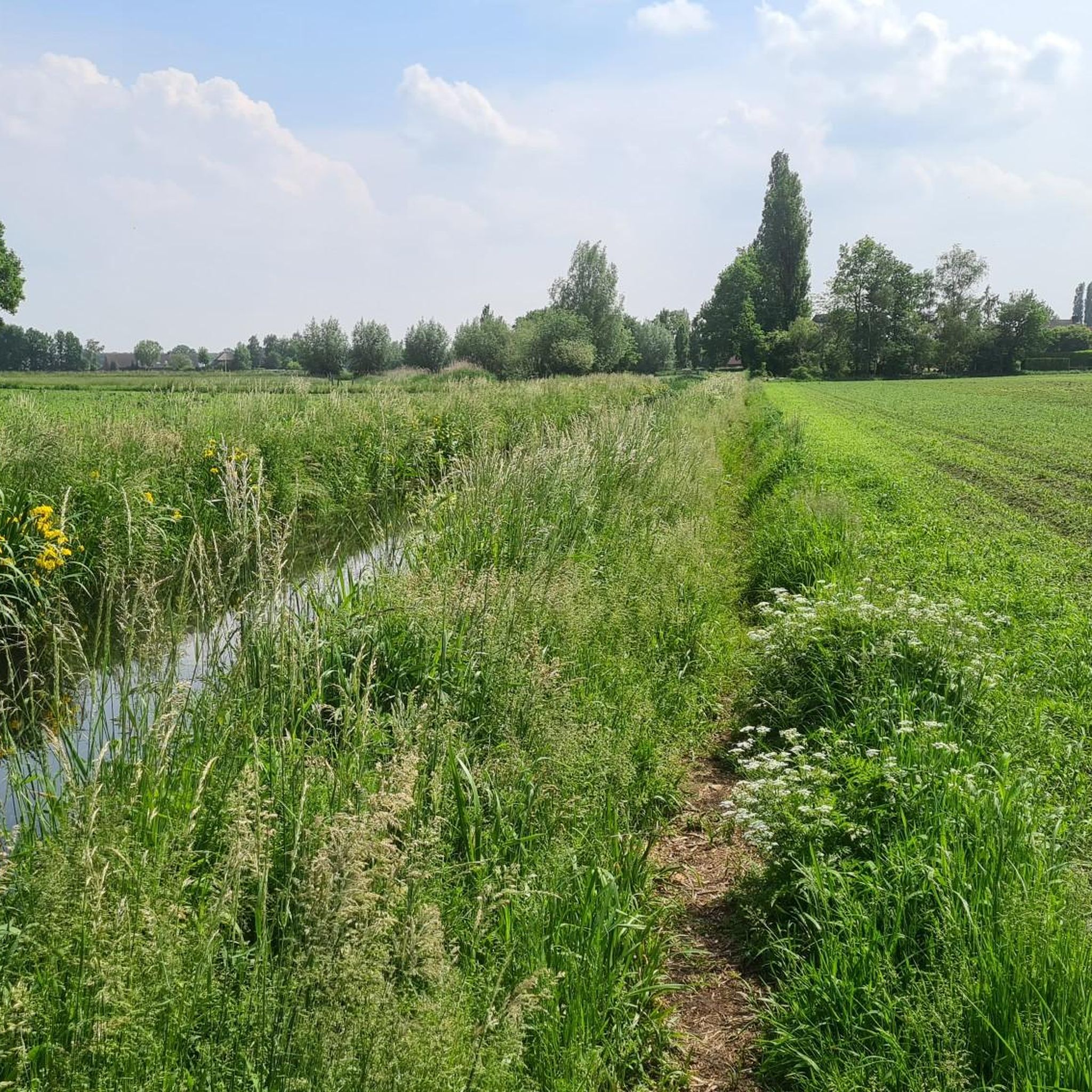
Road cycling in Galgenberg, located in North Brabant, is characterized by its flat to gently rolling terrain, offering routes that traverse wetlands, canals, and forested areas. The region provides a network of paths suitable for exploring its natural and historical landscapes. The elevation gains on these routes are generally low, making them accessible for various fitness levels.
Best road cycling routes in Galgenberg
- The most popular road cycling route is Griendtsveen Wetlands – Herberg De Morgenstond loop from Deurne,…
Last updated: October 9, 2026
5.0
(4)
106
riders
Easy road ride. Great for any fitness level. Mostly well-paved surfaces and easy to ride.
4.0
(1)
63
riders
102km
04:16
120m
120m
Moderate road ride. Good fitness required. Some segments of this route may be unpaved and difficult to ride.

5.0
(1)
59
riders
121km
05:20
150m
150m
Hard road ride. Very good fitness required. Mostly well-paved surfaces and easy to ride.
4.5
(4)
44
riders
76.0km
03:11
80m
80m
Moderate road ride. Good fitness required. Some segments of this route may be unpaved and difficult to ride.
4.0
(1)
46
riders
Moderate road ride. Good fitness required. Mostly well-paved surfaces and easy to ride.
Get access to more routes and recommendations from other explorers.
Already have an account?
Our route recommendations are based on thousands of hikes, rides, and runs completed by other people on komoot.
Start today with a free account
Your next adventure awaits.
Tips from the Community

According to tradition, the sisters Harlindis and Relindis founded the Benedictine convent of Eike (or the convent of Aldeneik) around 730 on the estate of their father Adelard, near the Meuse and not far from the abbey of Susteren, founded a few years earlier. The Normans destroyed the women's convent in the 9th century. The church was rebuilt in the third quarter of the 9th century. To prevent the abbey's goods from falling into the hands of local nobles, Emperor Otto I donated the estate to the Prince-Bishopric of Liège. The Prince-Bishop founded a chapter of secular canons there around the middle of the 10th century. The Romanesque church, still partly existing today, was built in the second half of the 12th century as a chapter church. Next to it, a smaller parish church was erected, intended for the common people. The Chapter of Our Lady was moved to Maaseik at the beginning of the Eighty Years' War by order of the Prince-Bishop of Liège. In 1571, the canons moved in solemn procession, taking the relics with them, to the Sint-Catharinakerk in Maaseik, which became the new chapter church. The old chapter church of Aldeneik was reduced in size and converted into a parish church. The old parish church of Aldeneik, as well as the cloister and other chapter buildings, were demolished. The oldest, largely original part of the former chapter church is the nave from the 12th century. The polygonal Gothic choir dates from the 13th or 14th century. The side aisles were probably rebuilt around 1850 by the Maaseik architect Adolph Leemans, after they had been demolished in the course of the 16th or 17th century, probably because the church had become too large due to its change of function. The westwork and the tower were also extensively restored in the 19th century, making it almost impossible to ascertain how they looked before. In 2010, a major restoration was completed again, during which the church furniture was also renewed.
3
0

Not only this place, the whole route is beautiful, driven on August 24, 26, due to Health Hellas with a mobility scooter Very doable, a recommendation, no bad surface, many quiet streets and bike paths. Thank you for this tour.
0
0

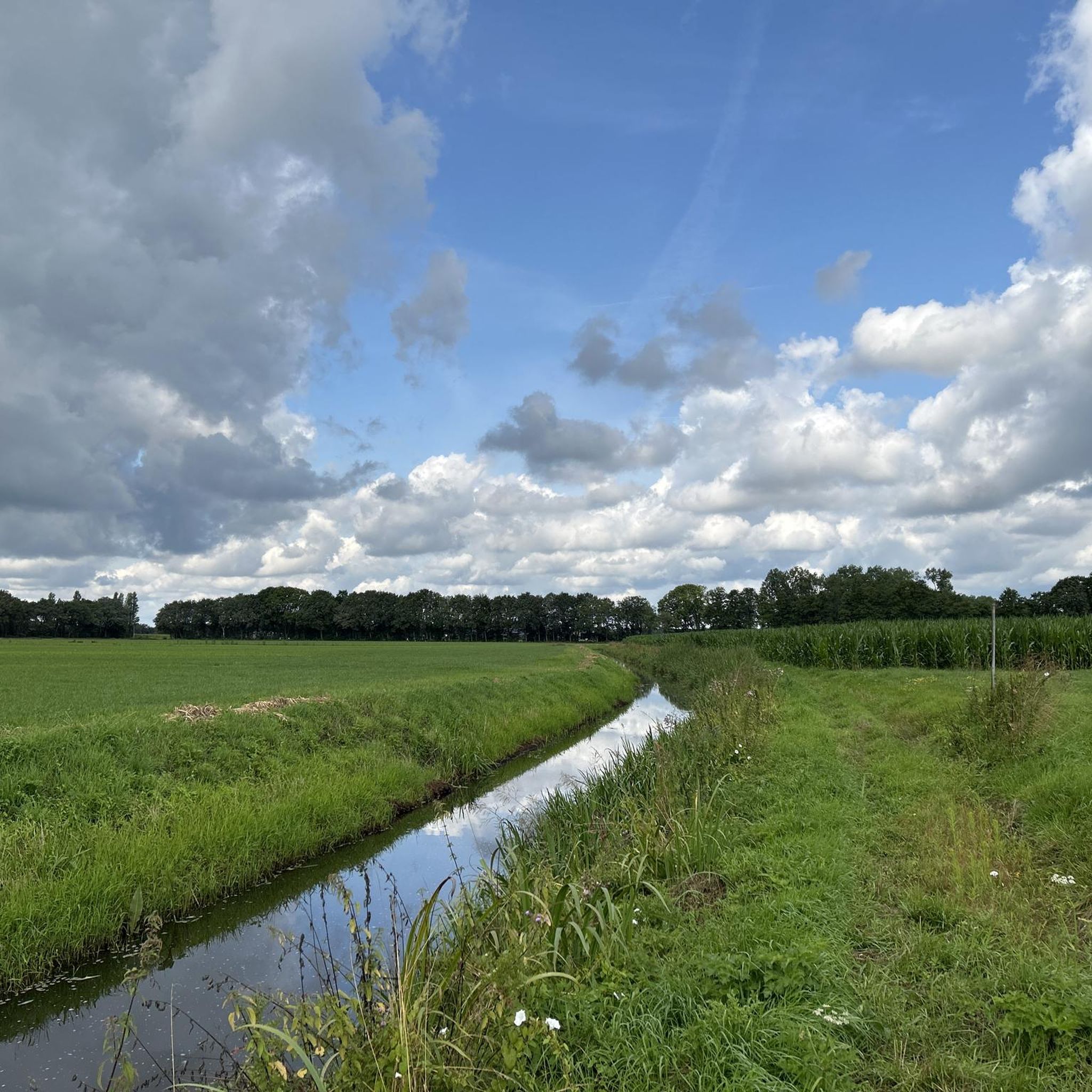
The current Laarbrug is an iron bridge on a concrete base and was placed in September 1947. Previously, there was a high concrete bridge, built in 1932, which was blown up on May 11, 1940, when the Dutch army retreated. The Wilhelminakanaal is the first Dutch canal named after a queen and dates from the beginning of the last century. Construction began in 1910 and in 1923 the entire Wilhelminakanaal was opened for shipping.
0
0

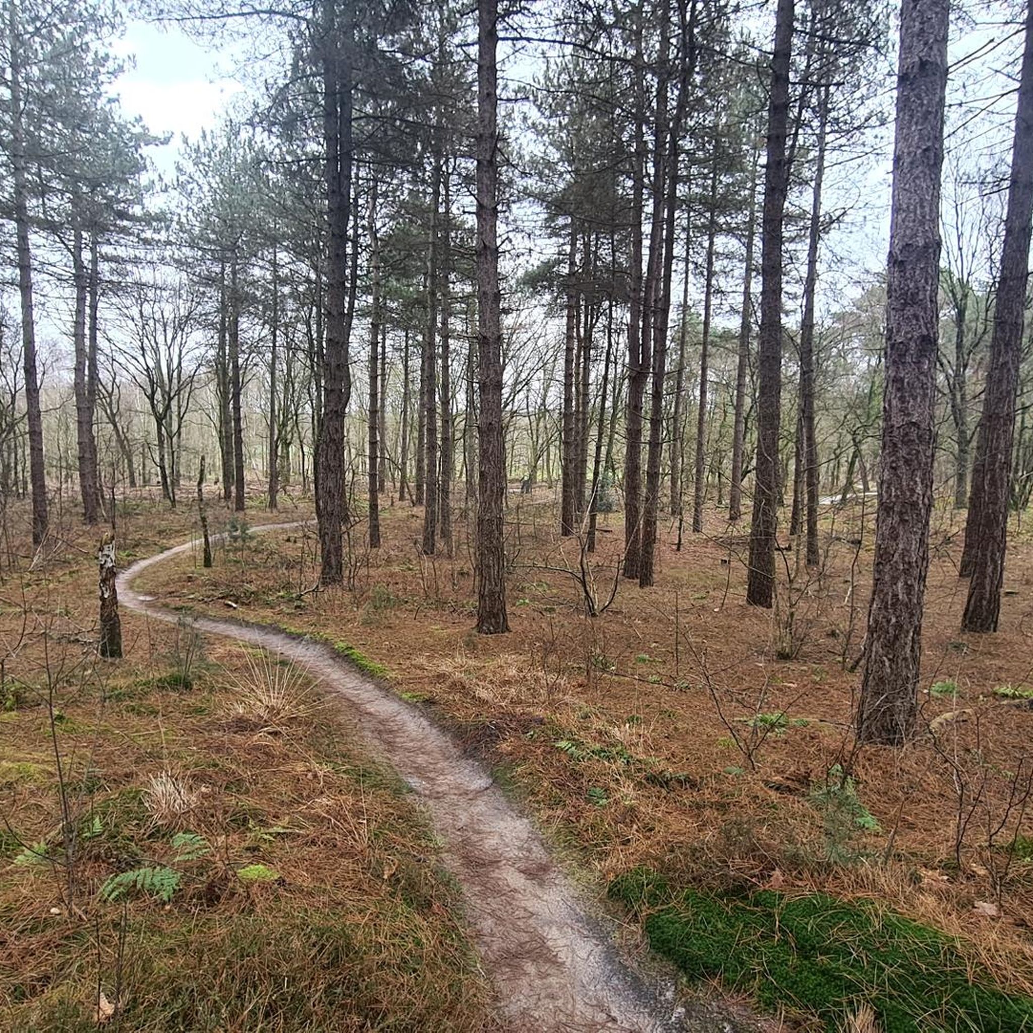
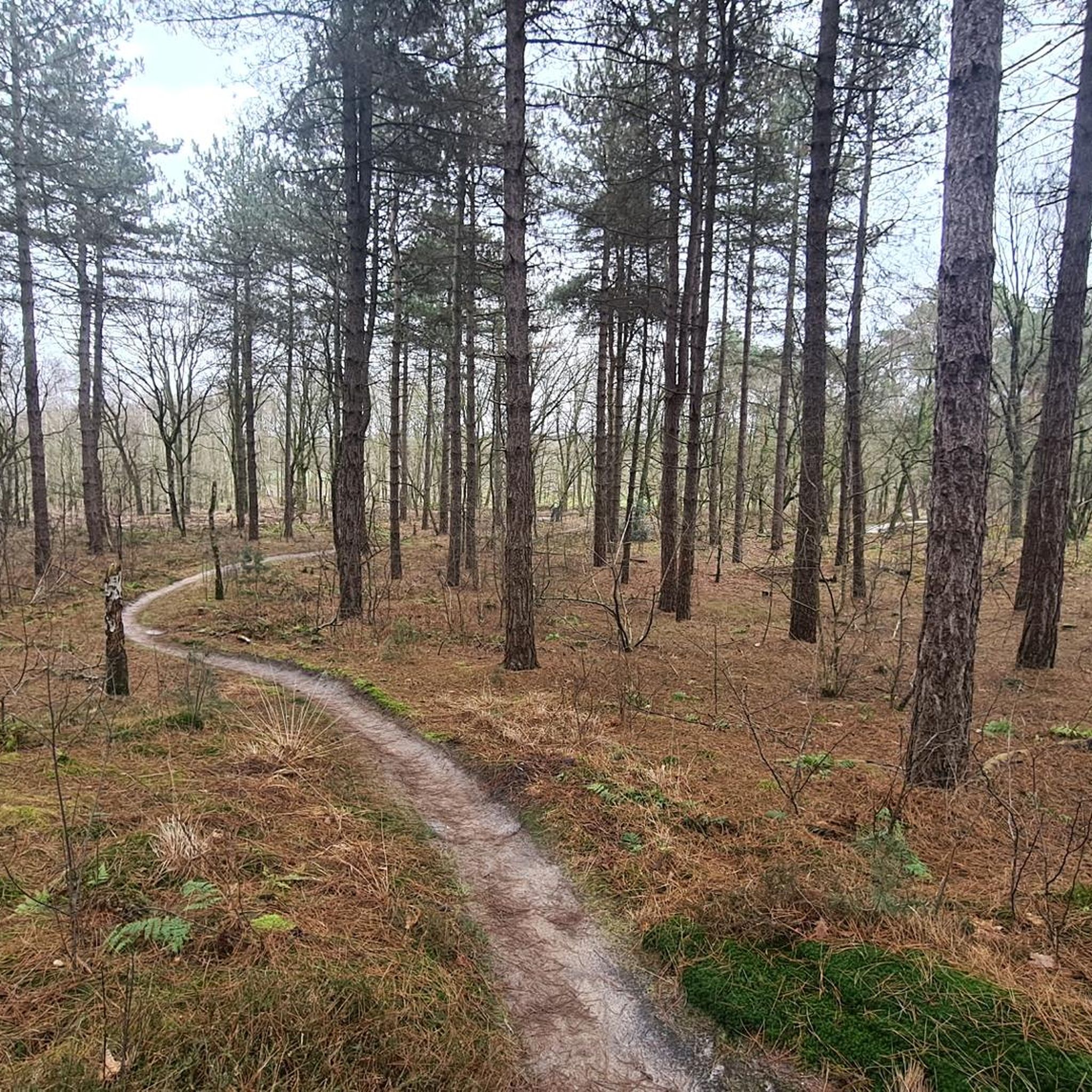
Nice cycling through the forest on an asphalt road, without cars, wonderfully quiet
1
0
The Achelse Kluis monastery is widely known for its great beer garden with its own brewery and a great selection. At the entrance, there is also an impressive depiction of the death strip from World War I. An electric fence that stretched from Vaals to the North Sea and was put under high voltage. The German army command wanted to prevent spies, deserters, and smugglers with this.
0
0

Beautiful route and nice bike path.
0
0

The monument commemorates Lucien Vandenbroeck, a young Belgian soldier from Sint-Gillis (Brussels) who was killed on May 10, 1940, during the early days of World War II. He belonged to the First Horse Hunters Regiment and, along with other troops, was stationed in the region to support the bunker defenses along the Meuse River and slow the German advance. During an attack, he was fatally wounded by a machine-gun fire, at the age of only 20. The monument itself was erected at the request of a local family at the site of the event as a tribute to Lucien Vandenbroeck and as a lasting reminder of the struggle and sacrifices of Belgian soldiers during those first months of the war.
0
0

Beautiful trail, enjoyed every moment.
1
0
Frequently Asked Questions
What kind of terrain can I expect when road cycling in Galgenberg?
Road cycling in Galgenberg is characterized by its flat to gently rolling terrain. Routes often traverse wetlands, canals, and forested areas, offering varied scenery. The elevation gains are generally low, making the region accessible for various fitness levels.
Are there road cycling routes suitable for beginners in Galgenberg?
Yes, Galgenberg offers numerous easy road cycling routes. For instance, the Griendtsveen Wetlands – Herberg De Morgenstond loop from Deurne is an easy 25.8-mile (41.6 km) trail that takes about 1 hour 44 minutes to complete, traversing wetlands and rural landscapes. There are 114 easy routes in total.
What are some longer or more challenging road cycling options in Galgenberg?
For those seeking longer rides, Galgenberg has 242 moderate routes. A popular choice is the Achelse Kluis Abbey – Beatrix Canal Bike Bridge loop from Deurne, a moderate 63.3-mile (101.9 km) path connecting an abbey with scenic canal-side paths. Another option is the Meuse Floodplains – Arcen–Broekhuizen Ferry loop from Deurne, a 47.5-mile (76.4 km) trail through river floodplains.
What can I see along the road cycling routes in Galgenberg?
Many routes offer scenic views of wetlands, canals, and forests. You can also discover local points of interest such as the Vlierden Windmill. The region also features dedicated cycling paths like the Molenhuisweg–Hazeldonkseweg Scenic Road and the Liesselsebossen Cycle Path.
Are there any family-friendly road cycling routes in Galgenberg?
Given the generally flat to gently rolling terrain and low elevation gains, many of Galgenberg's easy routes are suitable for families. The region's network of paths through wetlands and forests provides a pleasant and safe environment for family outings.
What is the best time of year to go road cycling in Galgenberg?
The best time for road cycling in Galgenberg is typically during the spring, summer, and early autumn months when the weather is mild and the natural landscapes are at their most vibrant. The region's diverse flora and fauna, including flower-rich dry grasslands, are particularly enjoyable during these seasons.
Are there any circular road cycling routes in Galgenberg?
Yes, many of the road cycling routes in Galgenberg are designed as loops, allowing you to start and end at the same point. Examples include the Griendtsveen Wetlands – Herberg De Morgenstond loop from Deurne and the Road along the South Willemsvaart – Forest road near Strabrechtse Heide loop from Deurne.
What do other road cyclists enjoy most about road cycling in Galgenberg?
The area is highly rated by the komoot community, with an average score of 4.4 stars from over 190 reviews. Reviewers often praise the quiet routes through wetlands and forests, the well-maintained paths, and the varied scenery that makes for exciting and diverse tours.
How many road cycling routes are there in Galgenberg?
Galgenberg offers a wide selection of road cycling routes, with over 370 options available. These range from easy loops perfect for a leisurely ride to more challenging moderate routes for experienced cyclists.
Are there any cafes or places to stop for refreshments along the road cycling routes?
While specific cafes are not listed for every route, the presence of 'Herberg De Morgenstond' in one of the route names suggests that there are establishments along or near the routes where cyclists can stop for refreshments. The region's focus on outdoor activities often means local villages and towns provide amenities for visitors.
Is there parking available for road cyclists in Galgenberg?
While specific parking locations are not detailed for every route, the starting points of many routes are often in or near towns like Deurne, where public parking facilities are typically available. It's advisable to check the specific route details on komoot for recommended starting points and parking information.
Can I find routes that pass through forested areas in Galgenberg?
Yes, Galgenberg's road cycling routes frequently traverse forested areas. For example, the Road along the South Willemsvaart – Forest road near Strabrechtse Heide loop from Deurne includes a forest road section, offering shade and a serene atmosphere. The region is known for its tree-rich heathlands and woodlands.
Most popular routes in Galgenberg
Most popular attractions in Galgenberg

Get inspired with the komoot mobile app


Explore more
Browse the best Road cycling routes in other regions.
