The best road cycling routes in Vlijmens Ven, Moerputten & Bossche Broek
4.3
(1735)
43,281
riders
709
rides
Road cycling routes in Vlijmens Ven, Moerputten & Bossche Broek traverse a landscape characterized by marshy wetlands, historical peat bogs, and nutrient-poor grasslands. Located southwest of 's-Hertogenbosch, this region features numerous ditches, canals, and seepage water areas. The terrain is generally flat, with minimal elevation changes, making it suitable for road cycling. Notable features include the historic Moerputten Bridge and expansive blue grasslands.
Best road cycling routes in Vlijmens Ven, Moerputten & Bossche Broek
- The most popular road cycling route…
Last updated: October 23, 2026
4.0
(1)
49
riders
107km
04:34
100m
100m
Moderate road ride. Good fitness required. Mostly well-paved surfaces and easy to ride.
4.5
(46)
310
riders
30.1km
01:13
30m
30m
Easy road ride. Great for any fitness level. Mostly well-paved surfaces and easy to ride.

4.3
(33)
620
riders
44.4km
01:50
60m
60m
Easy road ride. Great for any fitness level. Mostly well-paved surfaces and easy to ride.
4.6
(32)
267
riders
27.0km
01:08
30m
30m
Moderate road ride. Great for any fitness level. Some segments of this route may be unpaved and difficult to ride.
4.2
(13)
186
riders
33.4km
01:23
30m
30m
Easy road ride. Great for any fitness level. Mostly well-paved surfaces and easy to ride.
Get access to more routes and recommendations from other explorers.
Already have an account?
Our route recommendations are based on thousands of hikes, rides, and runs completed by other people on komoot.
Start today with a free account
Your next adventure awaits.
Popular around Vlijmens Ven, Moerputten & Bossche Broek
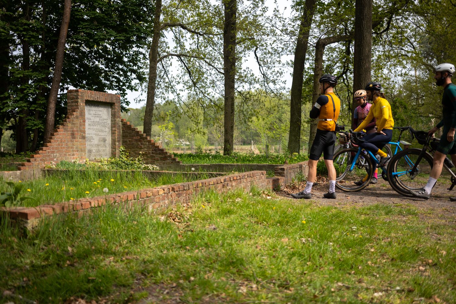
Operation Pheasant – gravel routes on the trail of the liberators
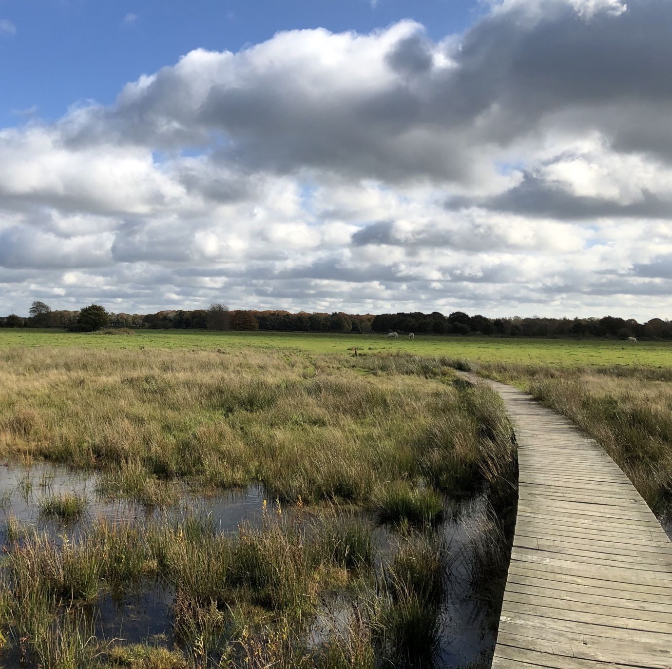
Bourgondisch Brabant - 20 tasty nature walks

Cycling in Vlijmens Ven, Moerputten & Bossche Broek

Running Trails in Vlijmens Ven, Moerputten & Bossche Broek

Gravel biking in Vlijmens Ven, Moerputten & Bossche Broek

MTB Trails in Vlijmens Ven, Moerputten & Bossche Broek

Hiking in Vlijmens Ven, Moerputten & Bossche Broek
Other adventures in Vlijmens Ven, Moerputten & Bossche Broek


Tips from the Community

Magnificent cycle path, smooth asphalt, nicely meandering and yet clearly laid out. The section through the Nieuwkuijkse Bos is particularly beautiful.
0
0

This beautiful historic lock has regulated the water flow between the Drongelens Canal and the polders between Vlijmen and 's-Hertogenbosch for over a century. During high water, the lock ensures we stay dry, while during dry weather, it allows water to flow into the area beyond. A true gem in the field of water management. The lock has been completely renovated and reopened on April 10, 2025. Thanks to the restoration, the lock can continue to play an important role in the future. When the water level in the Drongelens Canal rises, the lock is closed manually to prevent flooding. This last happened at the end of 2023, during high water. This prevented high water from flowing from the canal into the polders south of Vlijmen. During drier periods, this inlet system ensures that these polders are supplied with water. Water from the Drongelens Canal fills the ditches and streams. Source: www.aaenmaas.nl
1
0


I ride this bike path every day from Kaatsheuvel to 's-Hertogenbosch to work. Fantastic route.
0
0

Drunen Dunes
0
0

Beautiful route along the Iron Man in Vught. Terraces nearby, benches to rest and you can even get into the water. It can be quite busy, especially on days off and with nice weather. Take it easy then!
0
0

Lovely along the water. Especially with the sun shining
1
0
lies along a fine route, a remarkable traverse. Just renovated so better transition
1
0
Frequently Asked Questions
What kind of terrain can I expect when road cycling in Vlijmens Ven, Moerputten & Bossche Broek?
The region is characterized by marshy wetlands, historical peat bogs, and nutrient-poor grasslands. You'll find numerous ditches, canals, and seepage water areas. The terrain is generally flat, with minimal elevation changes, making it ideal for smooth road cycling.
Are there many road cycling routes available in this area?
Yes, komoot offers over 700 road cycling routes in Vlijmens Ven, Moerputten & Bossche Broek, catering to various preferences and fitness levels. You'll find a wide selection from easy loops to longer, moderate routes.
What are some easy road cycling routes for beginners?
For an easy ride, consider the Moerputtenweg – Boulevard Along De IJzeren Man loop from Vlijmen, an 18.8-mile (30.2 km) path that offers views of the Moerputten wetlands and takes about 1 hour 15 minutes. Another option is the Heusdense Bridge – Well Castle loop from 's-Hertogenbosch, a 27.5-mile (44.3 km) trail through varied rural scenery.
What interesting landmarks or natural features can I see along the routes?
The area is rich in natural and historical sights. You can cycle past the iconic 19th-century Moerputten Bridge, which is part of the historic Halve Zolenlijntje railway line. Other notable features include the Vlijmense Polder Observation Deck and the Turfship Lookout Point, Vlijmens Ven, offering expansive views of the wetlands and blue grasslands.
Are there any long-distance or more challenging road cycling options?
While the region is generally flat, you can find longer routes that offer a good workout. The Dikes and castles from 's-Hertogenbosch is a moderate 66.4-mile (106.9 km) trail that takes around 4 hours 33 minutes to complete, featuring low elevation gain across the flat landscape.
What do other road cyclists say about the routes in Vlijmens Ven, Moerputten & Bossche Broek?
The routes are highly rated by the komoot community, with an average score of 4.4 stars from over 1,300 reviews. Cyclists often praise the diverse scenery, from open grasslands to historic features like the Moerputten Bridge, and the well-maintained paths suitable for road biking.
Is the area suitable for family-friendly road cycling?
Yes, the generally flat terrain and numerous easy routes make Vlijmens Ven, Moerputten & Bossche Broek suitable for family-friendly road cycling. Many routes are relatively short and offer safe, scenic paths away from heavy traffic.
Are there circular road cycling routes available?
Many of the routes in the region are designed as loops, allowing you to start and end at the same point. For example, the Moerputtenweg – Oude Stuw Drawbridge loop from 's-Hertogenbosch is an easy 26.9 km circular route.
What is the best time of year to go road cycling in this region?
The spring and summer months (April to September) generally offer the most pleasant weather for road cycling, with milder temperatures and less rain. However, the flat terrain can be enjoyed year-round, though some paths might be wet during colder, wetter periods.
Are there places to stop for refreshments or food along the routes?
While specific cafes are not listed directly on every route, the areas around Vlijmens Ven, Moerputten, and Bossche Broek are close to 's-Hertogenbosch and surrounding villages, where you can find various cafes and pubs to refuel during or after your ride.
How can I get to the starting points of these road cycling routes?
The region is well-connected. Many routes start near 's-Hertogenbosch, which is accessible by public transport. For those traveling by car, parking facilities are available at various entry points to the nature reserves, though specific parking details should be checked for individual route starting points.
What is the typical duration for road cycling routes in this area?
Route durations vary significantly. You can find short, easy loops like the Drainage Canal – Oude Stuw Drawbridge loop from 's-Hertogenbosch, which takes about 1 hour 25 minutes for 33.3 km, up to longer, multi-hour rides such as the 4.5-hour 'Dikes and castles from 's-Hertogenbosch' route.
Most popular routes in Vlijmens Ven, Moerputten & Bossche Broek
Most popular attractions in Vlijmens Ven, Moerputten & Bossche Broek

Get inspired with the komoot mobile app


Explore more
Browse the best Road cycling routes in other regions.
