The best walks and hikes in Ostroher-Süderholmer Moor
4.5
(864)
3,351
hikers
323
hikes
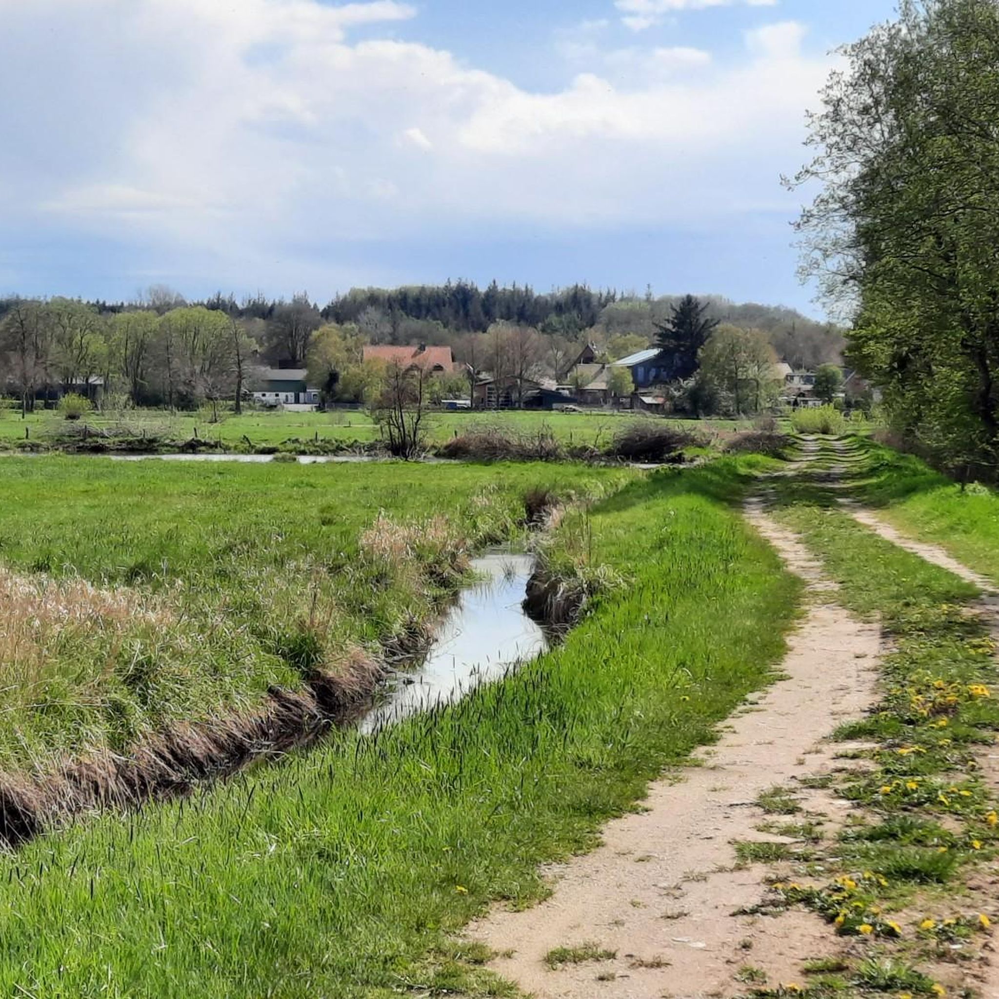
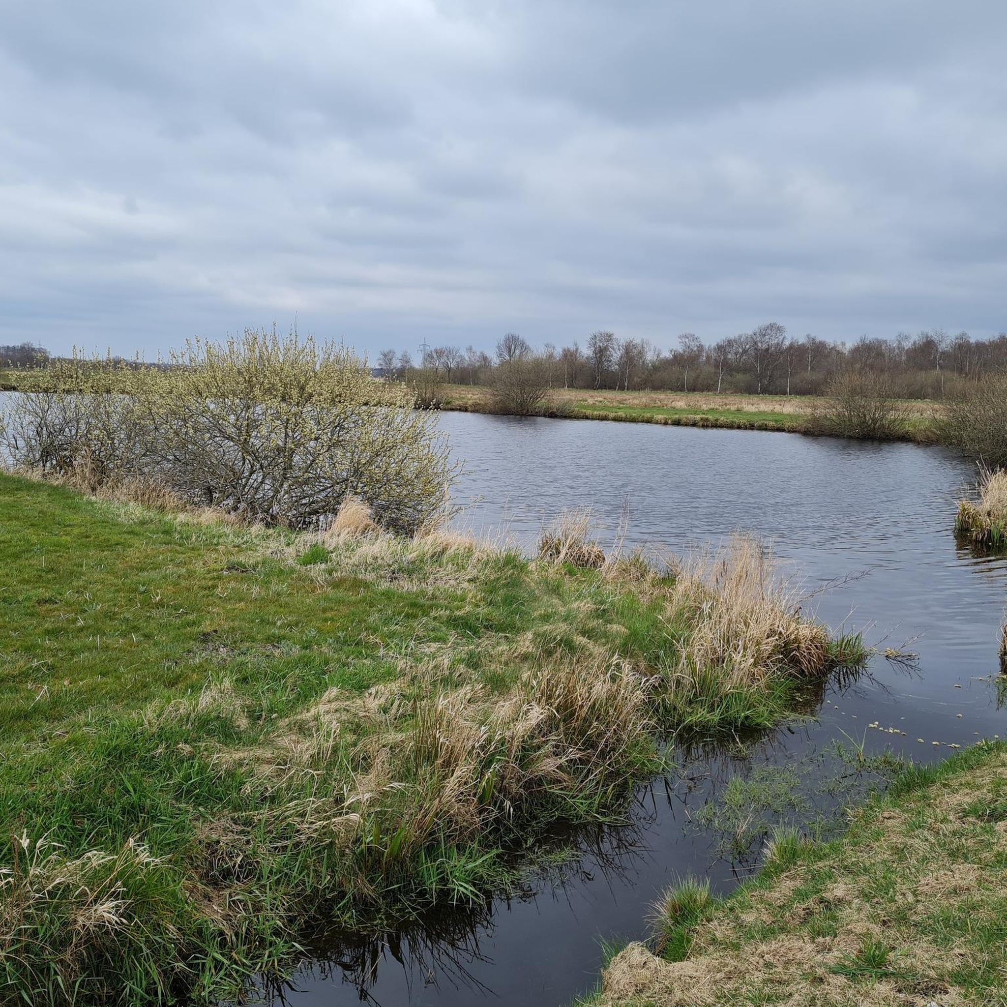
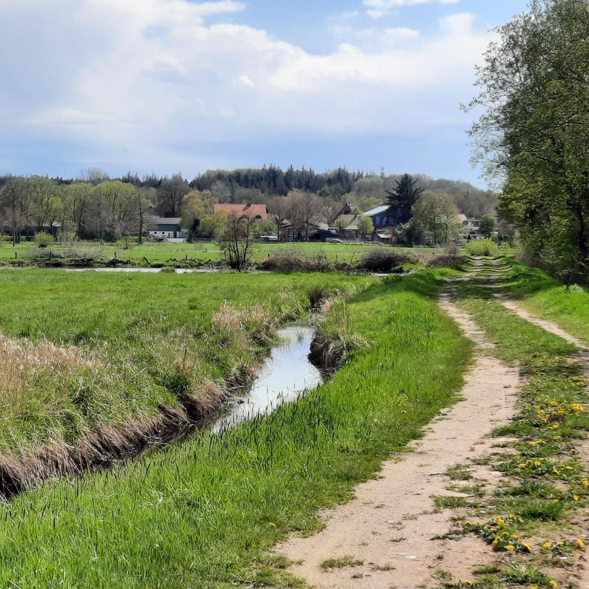
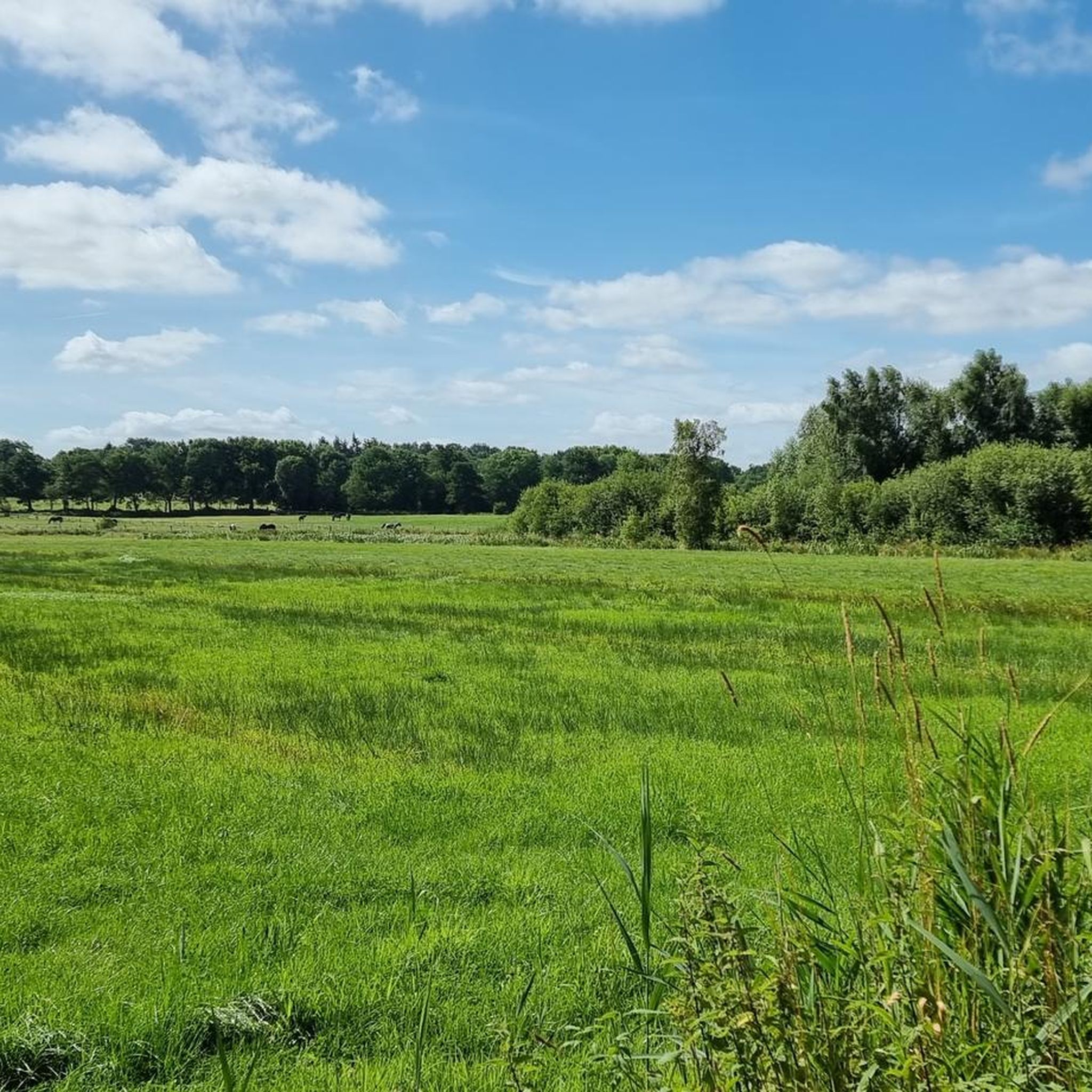
Hiking trails in Ostroher-Süderholmer Moor traverse a protected landscape characterized by its unique moorland. This region features a mosaic of water surfaces, reed zones, and fen-like wet meadows, interspersed with agricultural grasslands. Numerous peat pits, formed after extensive peat mining, are now prominent water features. The terrain is generally flat, offering accessible paths suitable for various hiking abilities.
Best hiking trails in Ostroher-Süderholmer Moor
- The most popular hiking route is Highland Cattle – Rest Area with Statue loop from Ostroher-Süderholmer…
Last updated: July 10, 2026
4.5
(44)
139
hikers
Easy hike. Great for any fitness level. Easily-accessible paths. Suitable for all skill levels.
4.8
(6)
31
hikers
4.80km
01:13
10m
10m
Easy hike. Great for any fitness level. Easily-accessible paths. Suitable for all skill levels.

Sign up for free
4.3
(4)
15
hikers
2.49km
00:38
0m
0m
Easy hike. Great for any fitness level. Easily-accessible paths. Suitable for all skill levels.
4.3
(3)
12
hikers
Easy hike. Great for any fitness level. Easily-accessible paths. Suitable for all skill levels.
5.0
(1)
7
hikers
Moderate hike. Good fitness required. Easily-accessible paths. Suitable for all skill levels.
Get access to more routes and recommendations from other explorers.
Sign up for free
Already have an account?
Our route recommendations are based on thousands of hikes, rides, and runs completed by other people on komoot.
Start today with a free account
Your next adventure awaits.
Login or Signup
Tips from the Community

The Georgsbrunnen (also St.-Georg-Brunnen) is the central market fountain in Heide, located on the Südermarkt. It was created in 1989 by sculptor Siegfried Assmann and depicts Saint George fighting the dragon. Bronze reliefs on the fountain depict the history of the Dithmarscher peasant republic.
1
0
The urban relief on a scale serves to make the structure of the city, especially the large market square, tangible. Often mentioned in connection with the St. George's Fountain (Südermarkt), which tells the history of Dithmarschen with eight bronze reliefs. It is a popular destination on tours and bike rides through the city and its surroundings.
2
0
The bronze city relief of Heide is a well-known highlight on the Heide market square, often in context with the historical Georgsbrunnen (St. George's Fountain). It offers a detailed overview of the city's structure and is a central point for visitors. The relief serves as a guide and an artistic representation of the city's history.
2
0

You can find such an interesting relief in almost every city.
2
1

The St. Georg fountain on the Heider Südermarkt was created in 1989 by sculptor Siegfried Assmann. It depicts the figure of St. George slaying the dragon. Eight relief panels contain depictions of the history of Heide and Dithmarschen. The fountain is 5 meters high, 4 meters wide, and has 3 levels. The dragon lies defenseless on its back with its back arched, legs stretched upwards. On its belly stands the brave warrior, confident and self-assured, who is just thrusting his long spear into the dragon's open mouth. Through the arrangement of the elements, the dragon below, the inclined body of the warrior above and the thrusting spear, a balanced equilibrium is created, which underlines the confidence of the fighting man. Who will be the victor is beyond question. Data about the work: Siegfried Assmann: St. Georg Fountain (1989, Bronze) Südermarkt, 25746 Heide Route planner: 54.19407, 9.09128 https://sh-kunst.de/siegfried-assmann-st-georg-brunnen/
4
0
With almost 47,000 square meters of undeveloped area, the market square in Heide is the largest in Germany and a place with history. During the time of the independent farmer republic of Dithmarschen, the square was the meeting place of the state assembly from 1447 onwards. As early as the 16th century, traders met there every Saturday for a weekly market. This has remained the case to this day. In addition, a large Christmas market takes place on the square every year, as well as the "Heider Marktfrieden" every two years - the largest medieval folk festival in Dithmarschen. https://www.ndr.de/ratgeber/reise/binnenland_elbe/Heide-Stadt-in-Nordseenaehe-mit-Marktplatz-der-Superlative-,heide132.html
4
0

Info The Lüttenheid Museum Island is a complex of several combined museums in Heide. The area south of Heide's market square consists of the city history museum and the Klaus Groth House. Wikipedia
1
0
In 1435, a chapel dedicated to Saint George (Low German: St. Jürgen) was built in Heide. When Heide was conquered by royal Danish and ducal troops during the Last Feud in 1559, the church burned down completely. Shortly afterwards, a new church was built on the old foundations, which was consecrated in 1560. This church has essentially survived to this day, although it has undergone some changes.
4
0
Frequently Asked Questions
How many hiking trails are available in Ostroher-Süderholmer Moor?
Ostroher-Süderholmer Moor offers a wide selection of hiking routes, with over 330 trails available. Most of these, around 230, are considered easy, making the area accessible for various fitness levels.
What is the typical terrain and difficulty level of hikes in Ostroher-Süderholmer Moor?
The terrain in Ostroher-Süderholmer Moor is generally flat, characterized by its unique moorland landscape. Paths are easy to navigate, with routes ranging from easy strolls to more moderate hikes. The area is suitable for all fitness levels, offering a peaceful and undisturbed experience.
What makes the landscape of Ostroher-Süderholmer Moor unique for hiking?
The moorland landscape is defined by a mosaic of water surfaces, reed zones, and fen-like wet meadows, interspersed with agricultural grasslands. A prominent feature is the numerous 'Moorkuhlen' (peat pits), which are now picturesque water bodies. This diverse environment provides a unique backdrop for hiking.
What kind of wildlife can I expect to see while hiking in Ostroher-Süderholmer Moor?
The moor is a habitat for diverse wildlife. Birdwatchers can spot species like kingfishers, greylag geese, cormorants, and grey herons. Roe deer are frequently observed, and a unique attraction for hikers is the presence of Scottish Highland Cattle grazing in the area.
What are some interesting places to explore or landmarks along the trails?
Along the trails, you can explore the unique Moor pools in the Ostroher-Süderholmer Moor, which are former peat pits. The Fishing pond at Fuchsberg is another notable water feature. For a glimpse into the region's history, visit the Turf Stacking and Windmill Süderholmer Moor or the Historic Peat Mill and Wetlands.
Is Ostroher-Süderholmer Moor suitable for family hikes?
Yes, the moor is well-suited for family hikes. The paths are generally easy to navigate and the car-free environment between Süderholm and Ostrohe ensures a peaceful experience. The presence of Scottish Highland Cattle can also be an exciting sight for children.
Are there circular hiking routes available in Ostroher-Süderholmer Moor?
Yes, the area offers a variety of circular hiking routes. Popular options include the Highland Cattle – Rest Area with Statue loop from Ostroher-Süderholmer Moor, which is 6.9 km long, and the Hiking loop from Ostroher-Süderholmer Moor, covering 6.3 km.
What are the parking options for hikers in Ostroher-Süderholmer Moor?
While specific parking areas are not detailed, many routes, such as the Parking Lot in Süderholm loop from Ostroher-Süderholmer Moor, indicate starting points accessible by car, suggesting designated parking facilities are available near trailheads in Süderholm and Ostrohe.
When is the best time of year to visit Ostroher-Süderholmer Moor for hiking?
The moor offers a pleasant hiking experience throughout much of the year. Spring and autumn provide comfortable temperatures and vibrant natural colors. Summer allows for full enjoyment of the diverse vegetation and wildlife, while the car-free paths ensure a tranquil environment regardless of the season.
What do other hikers say about their experience in Ostroher-Süderholmer Moor?
The hiking routes in Ostroher-Süderholmer Moor are highly rated by the komoot community, with an average score of 4.5 stars from over 800 reviews. Hikers often praise the peaceful moorland environment, the well-maintained paths, and the unique opportunity to observe wildlife like the Scottish Highland Cattle.
Can I bring my dog on the hiking trails in Ostroher-Süderholmer Moor?
Yes, Ostroher-Süderholmer Moor is generally dog-friendly. The extensive network of paths and the natural environment make it a great place to hike with your dog. However, always ensure your dog is under control, especially around wildlife and grazing Highland Cattle, and respect local regulations regarding leashes.
Most popular routes in Ostroher-Süderholmer Moor
Most popular attractions in Ostroher-Süderholmer Moor

Get inspired with the komoot mobile app


Explore more
Browse the best Hikes in other regions.
