The best walks and hikes in Obere Wümmeniederung
4.5
(13760)
47,062
hikers
1,242
hikes
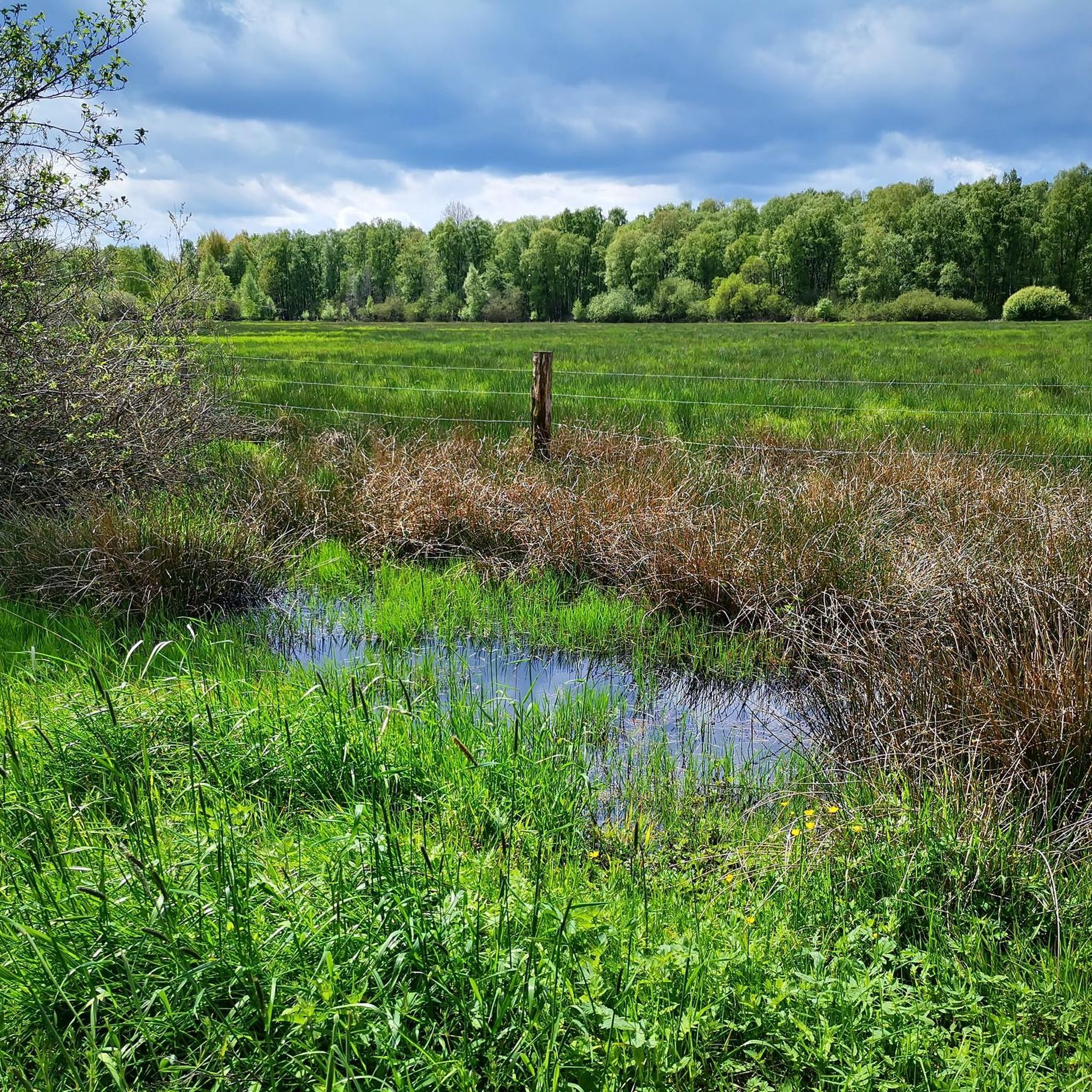
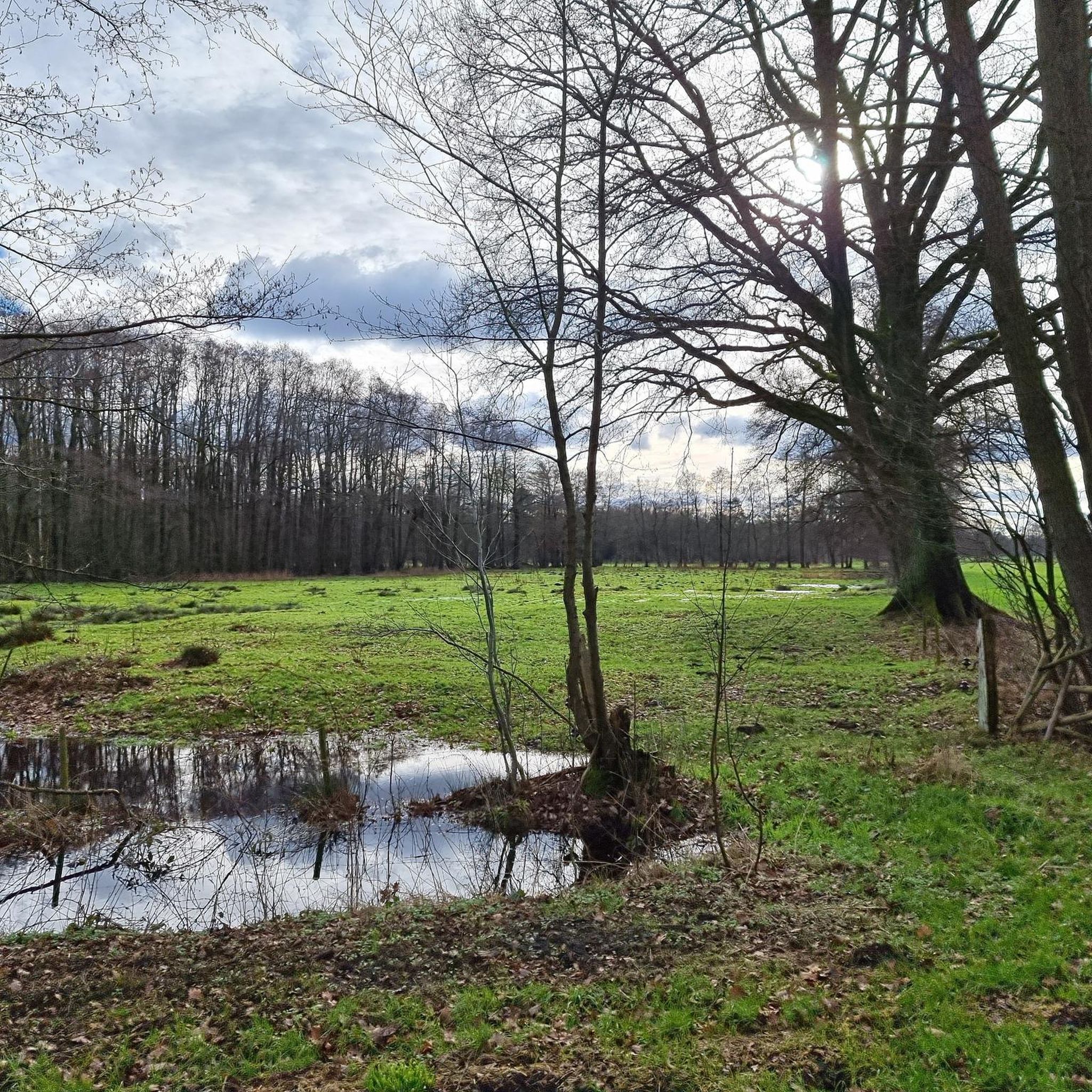
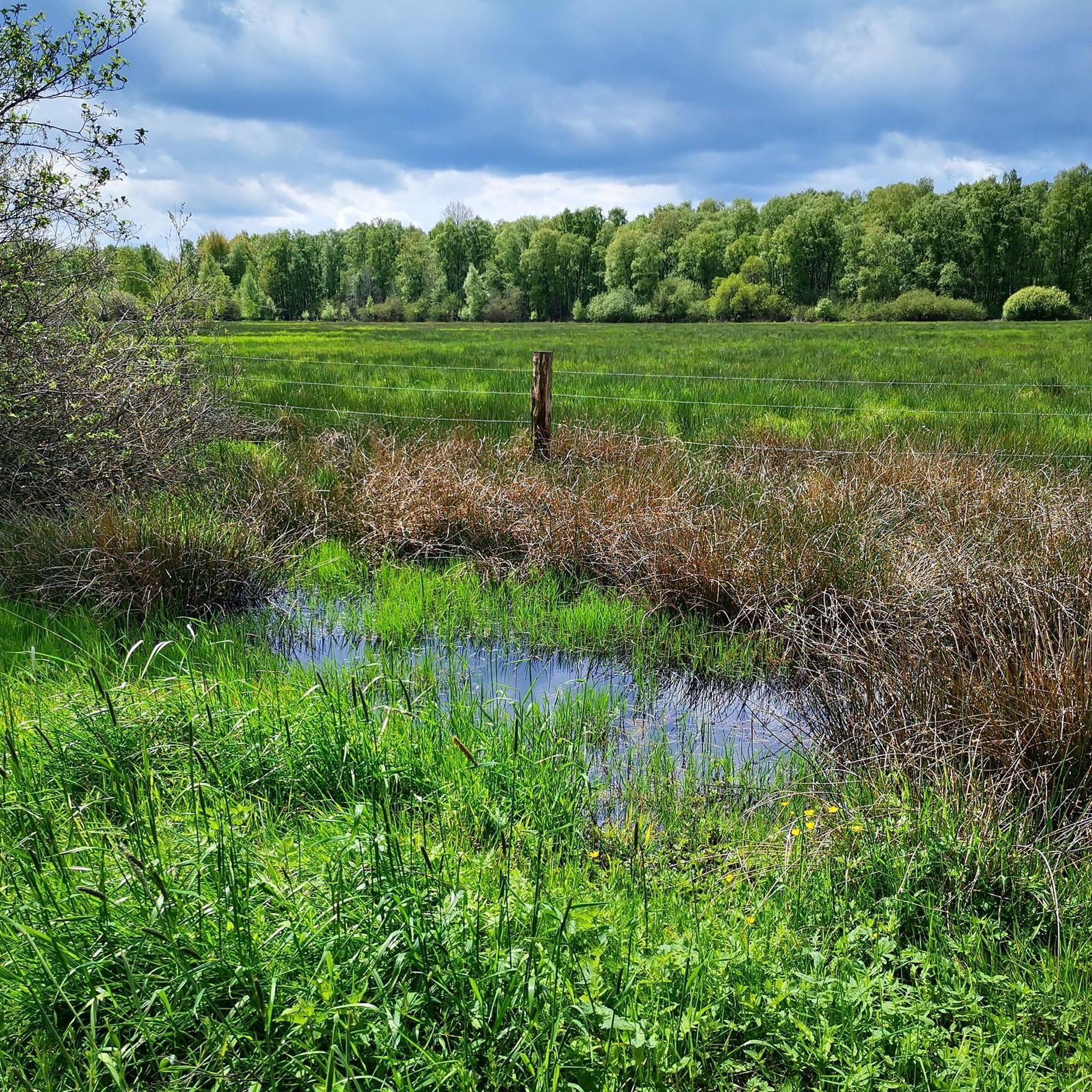
Hiking trails in Obere Wümmeniederung traverse a diverse landscape shaped by the Wümme river and its tributaries, flowing through natural riverine lowlands and adjacent geest areas. The terrain features a mix of alder carrs, riparian forests, bog forests, and wet heaths, alongside small-scale high and transitional bogs. Higher elevations and dunes support pine, oak, and beech forests, offering varied environments for outdoor activities.
Best hiking trails in Obere Wümmeniederung
- The most popular hiking route is Picnic area on the Wümme…
Last updated: October 18, 2026
4.0
(4)
21
hikers
Easy hike. Great for any fitness level. Easily-accessible paths. Suitable for all skill levels.
5.0
(3)
14
hikers
Moderate hike. Good fitness required. Easily-accessible paths. Suitable for all skill levels.

4.0
(2)
9
hikers
4.00km
01:00
0m
0m
Easy hike. Great for any fitness level. Easily-accessible paths. Suitable for all skill levels.
6
hikers
5.50km
01:23
10m
10m
Easy hike. Great for any fitness level. Easily-accessible paths. Suitable for all skill levels.
7
hikers
8.33km
02:06
10m
10m
Moderate hike. Good fitness required. Easily-accessible paths. Suitable for all skill levels.
Get access to more routes and recommendations from other explorers.
Already have an account?
Our route recommendations are based on thousands of hikes, rides, and runs completed by other people on komoot.
Start today with a free account
Your next adventure awaits.
Tips from the Community

View from the Wümme onto the bridge
0
0


An old postal route ran here. The crossing used to be a ford.
0
1

A fairly idyllic rest area with a small parking area, benches, a table, and a larger seating area for two to watch the sunset. There's also a nice spot for dogs to splash around in the Wümme River.
1
0
This Wümme crossing even makes history, see picture.
2
1
This Wümme crossing has existed since 1670 as part of the old Harburg-Nienburg-Amsterdam postal route. This crossing connected the stations of Welle and Visselhövede. Source: Information stone at the Wümme crossing
2
1
A lovely resting place right on the Wümme River (not the Stellbach). Dogs can also go into the water.
3
0

beautiful wooden bridge with a small rest area (wooden benches and tables) on the Wümme
0
0
Frequently Asked Questions
How many hiking trails are available in Obere Wümmeniederung?
There are over 1,200 hiking trails in Obere Wümmeniederung. The majority, more than 800, are classified as easy, making them suitable for various fitness levels. Additionally, there are nearly 400 moderate routes and over 40 more challenging paths for experienced hikers.
What kind of landscapes will I encounter while hiking in Obere Wümmeniederung?
The Obere Wümmeniederung offers a diverse landscape shaped by the Wümme river. You'll find natural riverine lowlands, adjacent geest areas, and a mix of habitats including alder carrs, riparian forests, bog forests, wet bushes, swamps, grasslands, and wet heaths. Unique features include small-scale high and transitional bogs, as well as sand heaths. Higher elevations feature pine, oak, and beech forests.
Are there any family-friendly hiking options in Obere Wümmeniederung?
Yes, the region is well-suited for families, with over 800 easy routes available. Many trails are designed for all fitness levels. For example, the Kauers Wittmoor loop from Königsmoor is an easy 2.5-mile (4.0 km) trail that takes about an hour to complete, perfect for a family outing.
What interesting landmarks or points of interest can I see along the trails?
Hikers can discover several points of interest. These include the Historic Wümme Crossing, an old postal route in use since 1670, and the Rest area at Hauenstein Wintermoor, which holds historical significance. You might also encounter the welcoming Cyclists' Garden, offering refreshments.
What do other hikers enjoy most about the trails in Obere Wümmeniederung?
The trails in Obere Wümmeniederung are highly rated by the komoot community, with an average score of 4.6 stars from over 11,000 reviews. Hikers often praise the natural beauty of the riverine landscapes, the varied forests, and the peaceful atmosphere. The extensive network of routes also means there's always something new to explore.
Can I bring my dog on the hiking trails?
While specific dog-friendly regulations can vary by trail section, the natural and open character of many paths in Obere Wümmeniederung generally makes it a good area for hiking with dogs. Always keep your dog on a leash, especially in nature reserve areas, and be mindful of wildlife and other hikers.
Are there circular hiking routes available?
Yes, many of the trails in Obere Wümmeniederung are circular routes, offering convenient starting and ending points. An example is the Picnic area on the Wümme River – Historic Wümme Crossing loop from Heidemoor bei Ottermoor, an easy 3.7-mile (5.9 km) loop that follows the Wümme River.
What wildlife can I expect to see in Obere Wümmeniederung?
The Obere Wümmeniederung is rich in biodiversity. You might spot endangered fish and lampreys in the Wümme river, as well as the threatened otter and the green clubtail dragonfly. The region is also a significant breeding ground for large birds like the Eurasian curlew, crane, red kite, and black stork, particularly around the Center of the Municipality of Otter.
Is there parking available near the trailheads?
Yes, parking is generally available near popular trailheads and villages within the Obere Wümmeniederung. Specific parking information can often be found on individual route descriptions on komoot, helping you plan your starting point.
What is the best time of year to go hiking in Obere Wümmeniederung?
The Obere Wümmeniederung is beautiful year-round. Spring brings blooming flora and active wildlife, while summer offers lush greenery. Autumn showcases vibrant fall colors in the forests. Even winter hiking can be rewarding, with a serene atmosphere, though some paths might be wet or muddy due to the riverine landscape.
Are there any cafes or places to get refreshments along the trails?
While the region is primarily natural, you can find amenities in nearby villages like Otter. The unique Cyclists' Garden is a notable rest stop offering chilled drinks and ice cream for a donation, providing a welcoming break during your hike.
What are the typical trail conditions and difficulty levels?
The trails vary from easy, flat paths through riverine lowlands and bogs to moderate routes with slight elevation changes in geest areas and forests. The terrain can include natural earth paths, gravel, and boardwalks in wetter areas. Over 800 routes are easy, 390 are moderate, and 42 are considered difficult, offering options for all skill levels.
Most popular routes in Obere Wümmeniederung
Most popular attractions in Obere Wümmeniederung

Get inspired with the komoot mobile app


Explore more
Browse the best Hikes in other regions.
