Naturschutzgebiet Holtorfer Moor
Naturschutzgebiet Holtorfer Moor
The best MTB trails in Naturschutzgebiet Holtorfer Moor
4.6
(137)
257
riders
70
rides
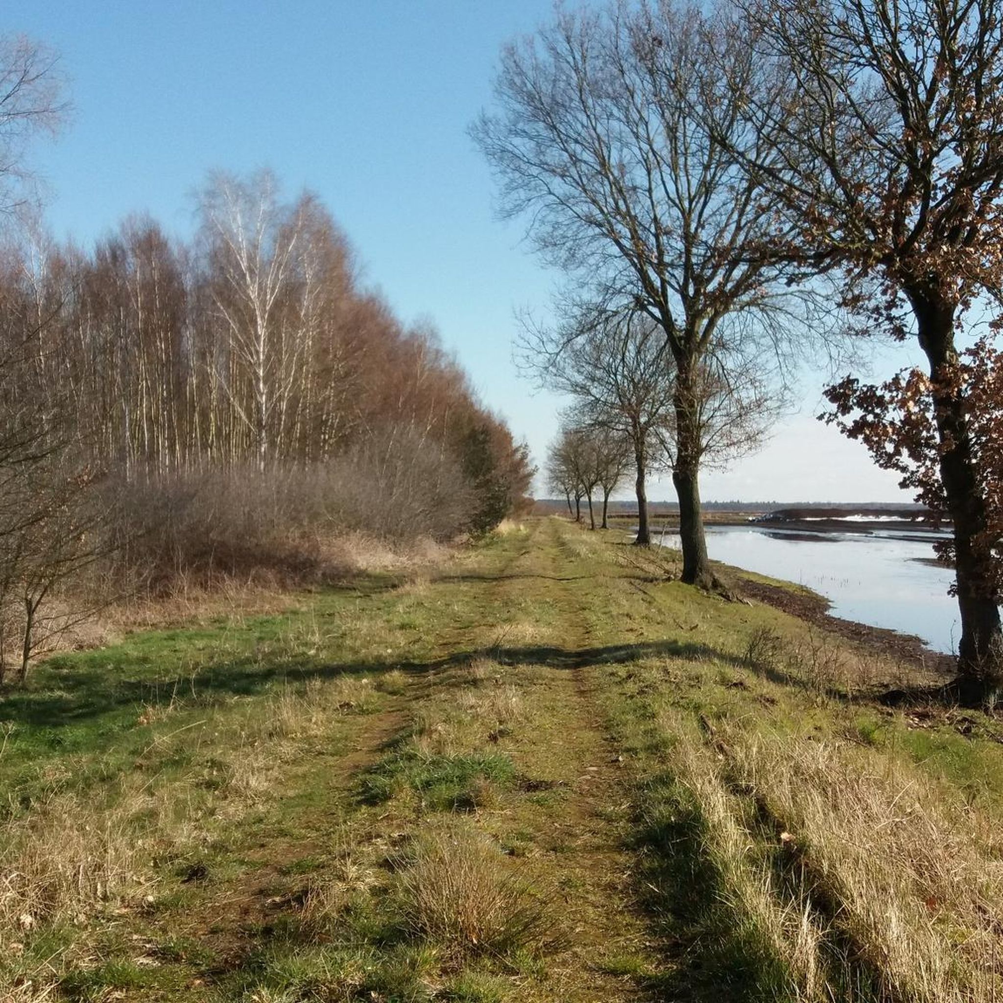
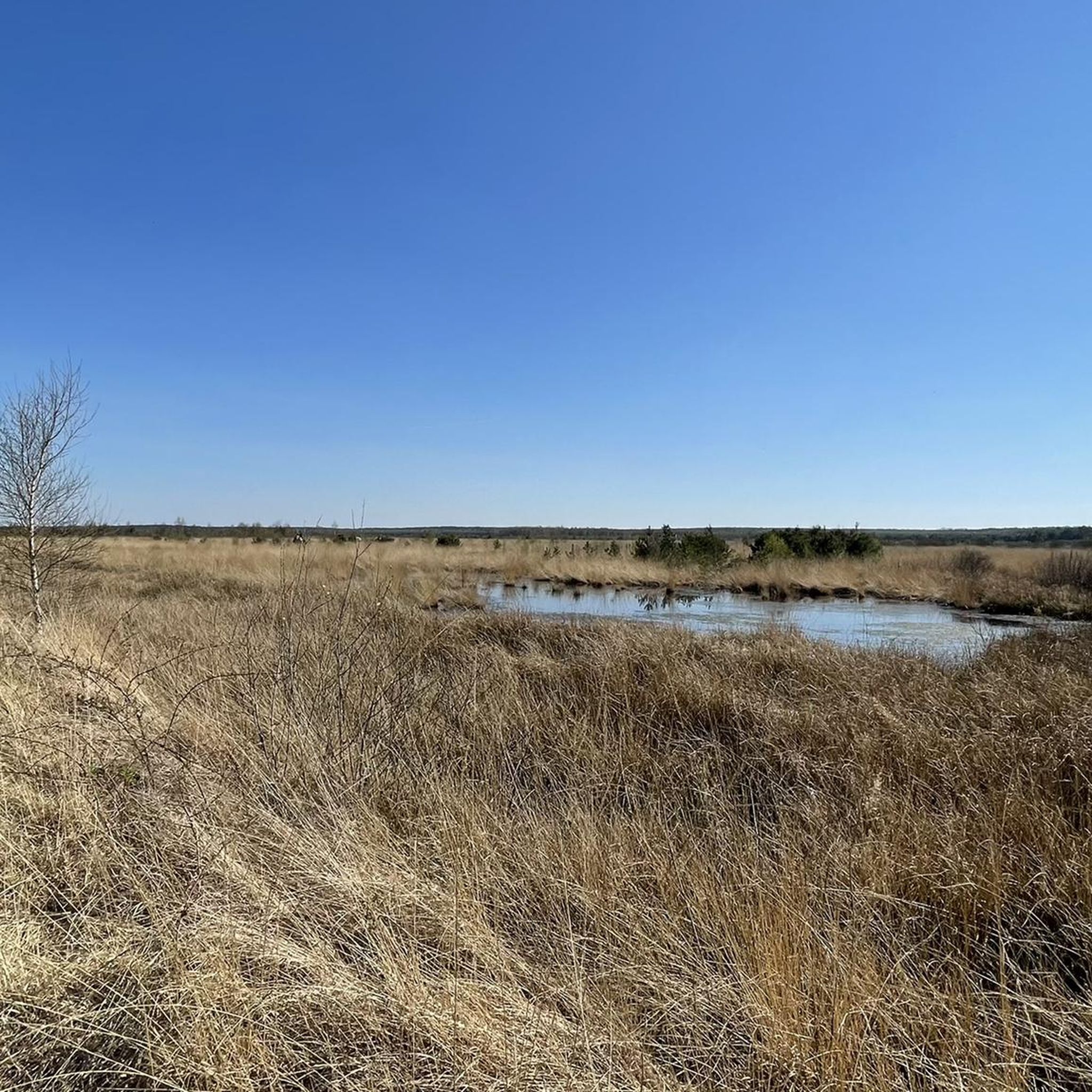
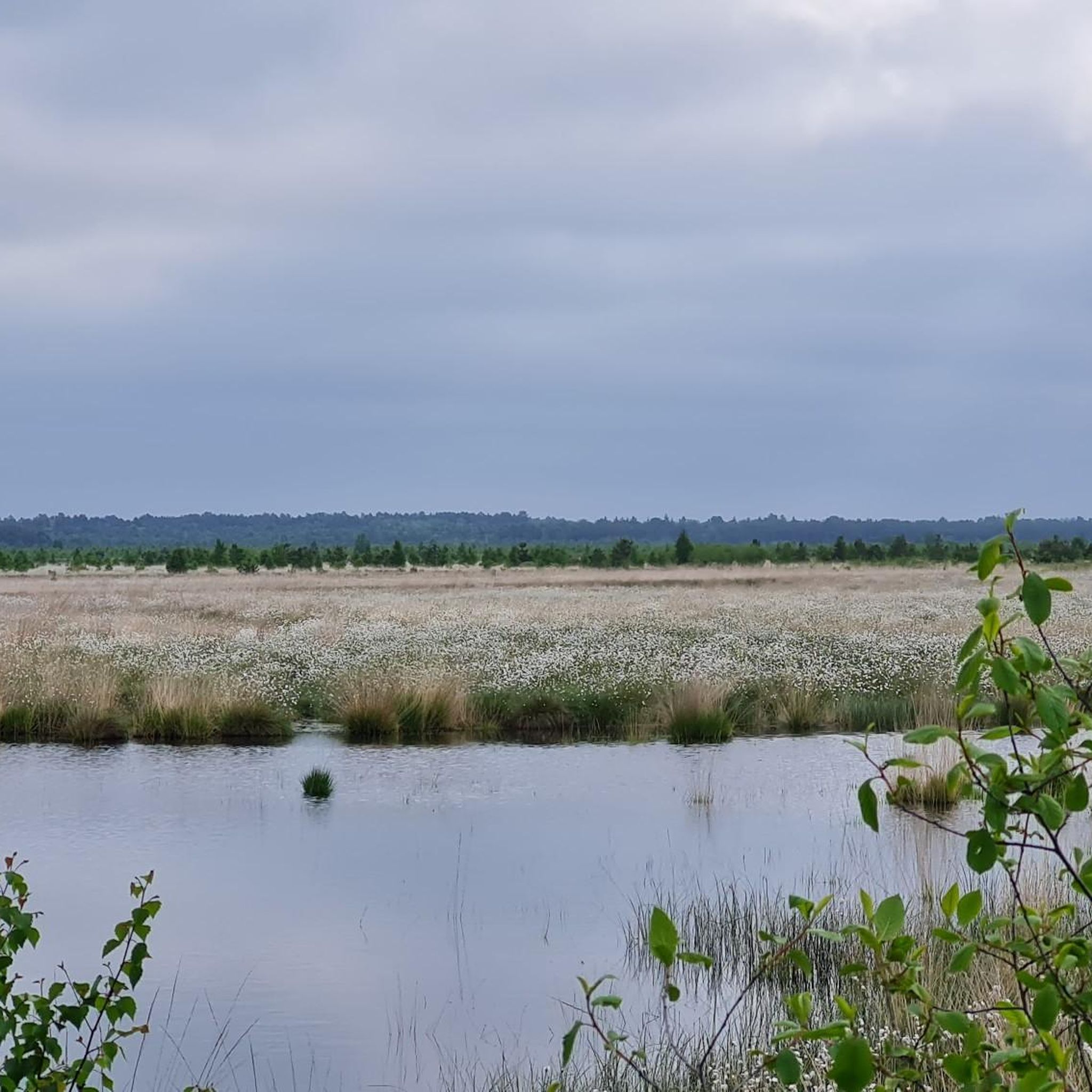
Mountain bike trails in Naturschutzgebiet Holtorfer Moor traverse a unique landscape characterized by moorland, re-wetted peat cuttings, and cultivated grasslands. The region features both untouched moorland and areas influenced by past human activity, including sections of moor forest. Situated at the northern edge of a terminal moraine, the terrain offers varied riding experiences. The Lichtenmoorgraben flows through the reserve, contributing to the diverse natural environment.
Best mountain bike trails in Naturschutzgebiet Holtorfer Moor
- The most popular mountain bike trail is…
Last updated: July 1, 2026
4.8
(6)
31
riders
Easy mountain bike ride. Great for any fitness level. Suitable for all skill levels.
5.0
(34)
15
riders
41.9km
02:22
70m
70m
Moderate mountain bike ride. Good fitness required. Suitable for all skill levels.

Sign up for free
4.8
(4)
18
riders
29.4km
02:06
150m
150m
Moderate mountain bike ride. Good fitness required. Advanced riding skills necessary.
8
riders
66.8km
04:28
230m
230m
Moderate mountain bike ride. Good fitness required. Advanced riding skills necessary.
5.0
(10)
7
riders
Moderate mountain bike ride. Good fitness required. Advanced riding skills necessary.
Get access to more routes and recommendations from other explorers.
Sign up for free
Already have an account?
Our route recommendations are based on thousands of hikes, rides, and runs completed by other people on komoot.
Start today with a free account
Your next adventure awaits.
Login or Signup
Tips from the Community

The weir serves as a direct Weser crossing for pedestrians and cyclists and connects the towns of Dörverden and Hilgermissen. Although there is a push-bike lane, the crossing is rather unsuitable for people with lower physical fitness or people with very heavy bicycles (e.g. e-bikes).
1
1
The rest area is located in an ice-age cut on the edge of the Geest. The wooded backdrop offers shady spots directly in nature as well as a covered barbecue hut/shelter and classic wooden seating groups with tables.
1
0
The historic stone arch bridge crosses the watercourse or the hollow in the forest area and is considered a popular photo motif for hikers and mountain bikers.
1
0

A beautiful path for strolling and relaxing.
0
0

The Giebichenstein in Stöckse is considered the largest erratic boulder in Lower Saxony and is definitely worth a break. Those eager to climb can also manage to ascend it. Not far from it, there is a playground on the outskirts of Stöckse, and you can also reach the Stöckser See via footpaths.
0
0

Open on Friday and Saturday. Delicious cake.
0
0

The view of the Große Aue is simply magnificent. Stop for a moment and enjoy.
3
0

Still closed in July 2025!!! It'll probably last until at least December 2025😔. Then the next cycling season will be over. Unbelievable.
1
0
Frequently Asked Questions
What kind of terrain can I expect on mountain bike trails in Naturschutzgebiet Holtorfer Moor?
The terrain in Naturschutzgebiet Holtorfer Moor is varied, characterized by expansive moorland, re-wetted peat cuttings, and cultivated grasslands. You'll encounter sections of diverse moor forest and paths influenced by past human activity. The region is situated at the northern edge of a terminal moraine, contributing to its varied landscape.
How many mountain bike trails are available in Naturschutzgebiet Holtorfer Moor?
There are over 75 mountain bike trails in Naturschutzgebiet Holtorfer Moor, offering a wide range of options for different skill levels. This includes routes categorized as easy, moderate, and difficult.
Are there any easy mountain bike trails suitable for beginners in the area?
Yes, Naturschutzgebiet Holtorfer Moor offers several easy mountain bike trails. For example, the Wooden Bridge in Lemker Marsch – Weser Weir Drakenburg loop from Haßbergen is an easy 19.1-mile (30.8 km) path that follows the Weser river.
What are some notable natural features or landmarks I might see while mountain biking?
While mountain biking, you can experience the unique moorland landscapes, re-wetted peat cuttings, and moor forests. The Lichtenmoorgraben flows through the reserve. Historically, the region also features a Neolithic Megalithic Tomb, Bronze Age Burial Mounds, and the impressive Giebichenstein Glacial Erratic. The Stöckser Lake – Giebichenstein Boulder loop from Samtgemeinde Steimbke specifically connects a lake with the Giebichenstein Glacial Erratic.
Are there any circular mountain bike routes in Naturschutzgebiet Holtorfer Moor?
Yes, many of the mountain bike routes in the region are designed as loops. Examples include the Stöckser Lake – Giebichenstein Boulder loop from Samtgemeinde Steimbke and the Wooden Bridge in Lemker Marsch – Wesertor Bridge loop from Drakenburg.
What do other mountain bikers enjoy most about the trails in Naturschutzgebiet Holtorfer Moor?
The trails in Naturschutzgebiet Holtorfer Moor are highly rated by the komoot community, with an average score of 4.7 stars from over 130 reviews. Mountain bikers often praise the varied terrain, from expansive moorland to diverse moor forests, and the options available for all skill levels.
Are there any longer mountain bike tours for more experienced riders?
Yes, for more experienced riders looking for a longer challenge, the Wooden Bridge in Lemker Marsch – Wesertor Bridge loop from Drakenburg is a moderate 41.5-mile (67.0 km) trail that typically takes around 4 hours 28 minutes to complete, leading through riverine landscapes.
Is there parking available near the mountain bike trailheads?
While specific parking locations are not detailed in the route descriptions, areas like Naturschutzgebiet Holtorfer Moor generally offer designated parking spots at common entry points or nearby villages to access the trails. It's advisable to check local signage upon arrival.
What is the best time of year to go mountain biking in Naturschutzgebiet Holtorfer Moor?
The moorland environment can be enjoyed throughout the warmer months, typically from spring to autumn. Spring offers fresh greenery, while autumn provides beautiful colors. Summer is also popular, but always be mindful of weather conditions, especially after rain, as moorland paths can become soft.
Are there any mountain bike routes that pass by a windmill?
Yes, the Margarethe Windmill (Eystrup) loop from Haßbergen is an easy 18.2-mile (29.3 km) route that allows you to cycle past the historic Margarethe Windmill.
Are there any trails that follow river paths?
Yes, several routes incorporate river paths. The Weser Weir Drakenburg – Oyler Mühlenbach loop from Drakenburg is an easy 19.2-mile (30.9 km) trail that follows the Weser river and Oyler Mühlenbach, offering scenic views along the water.
Most popular routes in Naturschutzgebiet Holtorfer Moor

Get inspired with the komoot mobile app


Explore more
Browse the best MTB trails in other regions.
