The best MTB trails in Naturschutzgebiet Lichtenmoor
4.6
(19)
88
riders
15
rides
Mountain bike trails in Naturschutzgebiet Lichtenmoor traverse a unique landscape shaped by its moorland origins, diverse heathlands, and natural moor forests. The area features still waters from old peat cuttings and quaking bogs, providing a tranquil environment for cycling. While generally offering easy to moderate terrain, the routes focus on nature immersion rather than technical challenges or significant elevation changes. Paths are often accessible and largely paved, making them suitable for leisurely rides through the protected natural environment.
Best mountain…
Last updated: July 15, 2026
5.0
(1)
3
riders
Moderate mountain bike ride. Good fitness required. Advanced riding skills necessary.
2
riders
Moderate mountain bike ride. Good fitness required. Advanced riding skills necessary.

Sign up for free
2
riders
32.0km
01:57
130m
130m
Moderate mountain bike ride. Great for any fitness level. Advanced riding skills necessary.
4.8
(6)
31
riders
Easy mountain bike ride. Great for any fitness level. Suitable for all skill levels.
5.0
(1)
4
riders
37.8km
02:10
60m
60m
Moderate mountain bike ride. Good fitness required. Suitable for all skill levels.
Get access to more routes and recommendations from other explorers.
Sign up for free
Already have an account?
Our route recommendations are based on thousands of hikes, rides, and runs completed by other people on komoot.
Start today with a free account
Your next adventure awaits.
Login or Signup
Tips from the Community

The weir serves as a direct Weser crossing for pedestrians and cyclists and connects the towns of Dörverden and Hilgermissen. Although there is a push-bike lane, the crossing is rather unsuitable for people with lower physical fitness or people with very heavy bicycles (e.g. e-bikes).
1
1

The Giebichenstein in Stöckse is considered the largest erratic boulder in Lower Saxony and is definitely worth a break. Those eager to climb can also manage to ascend it. Not far from it, there is a playground on the outskirts of Stöckse, and you can also reach the Stöckser See via footpaths.
0
0

Open on Friday and Saturday. Delicious cake.
0
0

At the site of the former "Hansa" oil field near Hademstorf in the Allermarsch region, approximately 160,000 tons of crude oil were produced between 1941 and 1970. Today, two restored horsehead pumps, installed on the foundations of the "Hansa 6" and "Hansa 9" production sites, commemorate this technical history. The pumps were used to bring oil to the surface from depths of up to 1,350 meters. Together with the historic oil bridge, they represent significant evidence of the regional oil boom—well-documented by the Aller-Leine Valley Navigator and open to the public as a technical monument.
1
0

Still closed in July 2025!!! It'll probably last until at least December 2025😔. Then the next cycling season will be over. Unbelievable.
1
0

On the Weser cycle path to Nienburg, the bridge and harbor welcome us with a beautiful view.
2
0

At the beginning of May 1948, sheep, cattle, and wild animals fell victim to the previously unknown "Beast" almost every night in the vast heath and moorland areas surrounding Lichtenmoor in Lower Saxony. The population lived in constant fear and anxiety for their livestock. It was believed that a puma or a tiger, or possibly even a wolverine, was wreaking havoc there. A lioness with two cubs was also reportedly seen. The "Beast" was said to have killed over 100 sheep, 65 cattle, and numerous wild animals. Because meat was scarce in the postwar period, it is now assumed that there were many illegal slaughters. The appearance of the "Beast" made it easy to cover them up. Daily, hundreds of men, farmers, hunters, and police hunted this monster. Then, on August 27, 1948, the farmer Herrman Gaatz from Eilte killed the "Lichtenmoor Shrike" – a male wolf of considerable size. The Lower Saxony State Hunting Association erected a wolf stone at the spot where the large male wolf was killed. From the former Eilte train station, walk 2.5 km along a narrow road into the forest and find the wolf stone on the right side of the path. The skeleton in the museum archive and a single specimen of a head still serve as reminders of the predator from the moorland. The legend of the "Lichtenmoor Shrike" has become a piece of regional history.
0
0

Flowering rhododendron hedge in Nienhagen.
1
0
Frequently Asked Questions
How many mountain bike trails are available in Naturschutzgebiet Lichtenmoor?
There are 17 mountain bike trails in Naturschutzgebiet Lichtenmoor, offering a range of experiences from easy to moderate. You'll find 8 easy routes and 9 moderate routes, with no difficult trails, making the area accessible for various skill levels.
What kind of terrain can I expect when mountain biking in Naturschutzgebiet Lichtenmoor?
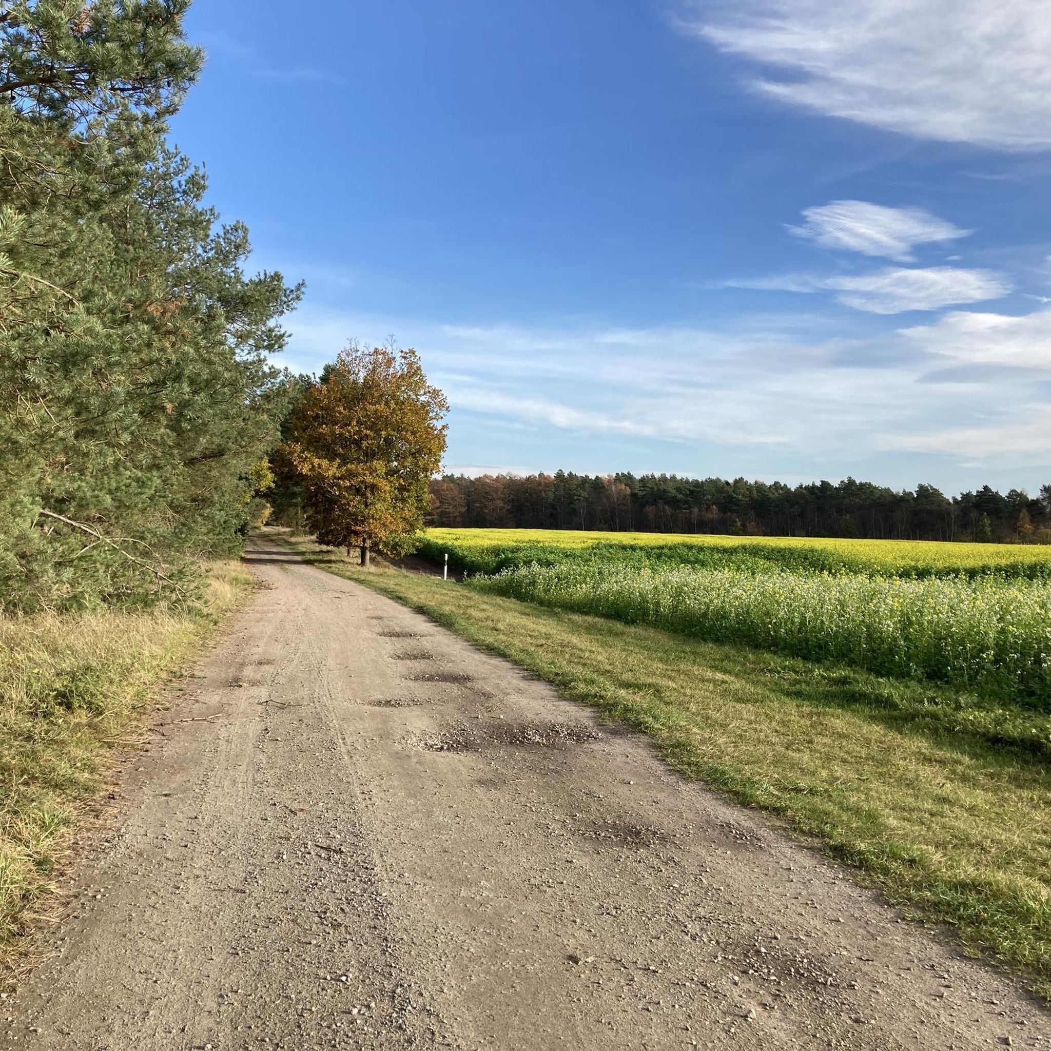
The terrain in Naturschutzgebiet Lichtenmoor is generally easy to moderate, characterized by its unique moorland origins, diverse heathlands, and natural moor forests. You'll encounter mostly accessible and largely paved paths, with some segments suitable for gravel biking. The focus is on nature immersion rather than technical challenges or significant elevation changes.
Are there any specific rules or regulations for mountain biking in Naturschutzgebiet Lichtenmoor?
Yes, as a nature reserve, it's crucial to stay on designated paths to protect the sensitive flora and fauna. The area is dedicated to nature conservation, so respecting the marked trails helps preserve its unique ecosystem.
What natural features or landmarks can I see along the mountain bike trails?
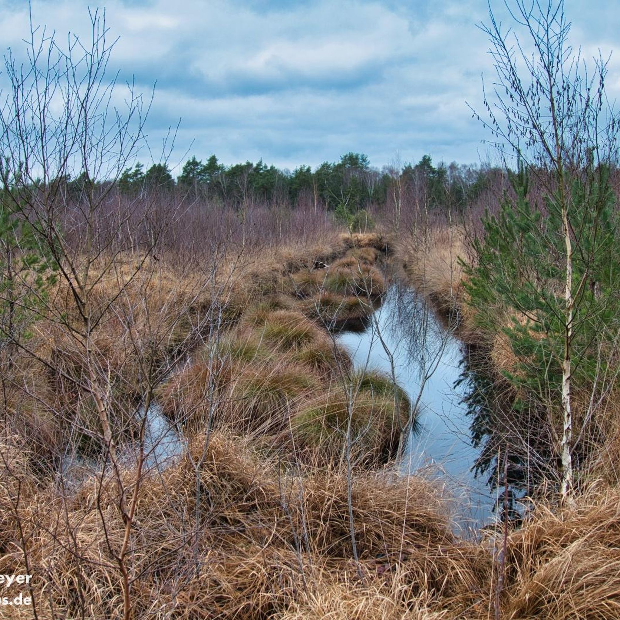
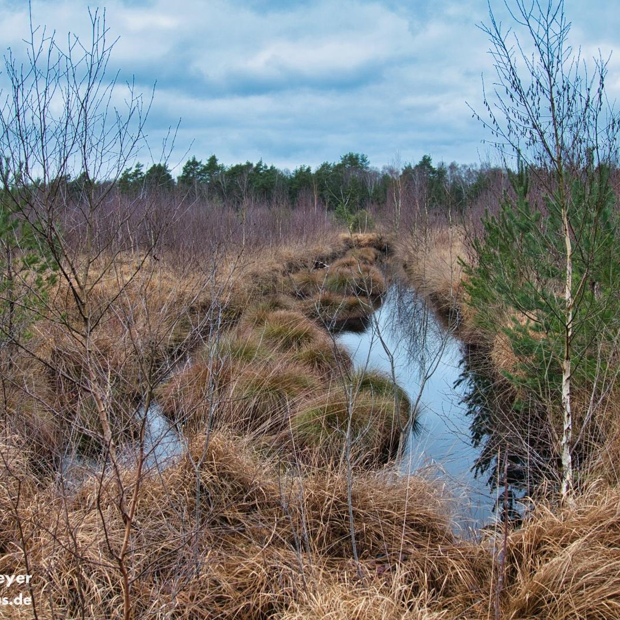
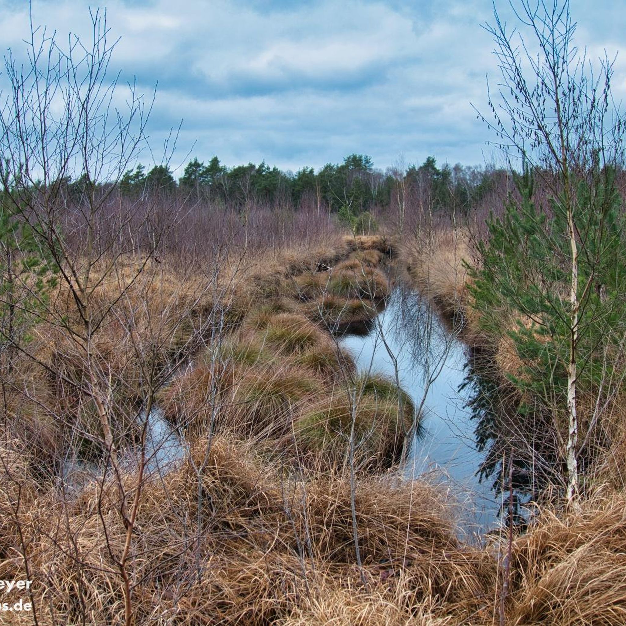
Naturschutzgebiet Lichtenmoor offers a serene landscape with notable natural features. You can expect to see remnants of extensive moorlands, including still waters from old peat cuttings and quaking bogs. Diverse moist and dry heathlands, as well as natural moor forests with birch and pine, are also prominent features, providing a picturesque backdrop for your ride.
Are there any family-friendly mountain bike routes in the area?
Yes, many of the routes in Naturschutzgebiet Lichtenmoor are well-suited for families due to their gentle terrain and accessible paths. The focus on leisurely rides through nature makes it an ideal destination for cyclists of all fitness levels looking for a relaxing experience. An example of an easy route is the Wooden Bridge in Lemker Marsch – Weser Weir Drakenburg loop from Haßbergen.
Can I bring my dog on the mountain bike trails?
While the guide data doesn't explicitly state dog-friendly policies, nature reserves often have specific rules regarding dogs to protect wildlife. It's generally recommended to keep dogs on a leash on designated paths. Always check local signage or the official website for the most current regulations before your visit.
What do other mountain bikers enjoy most about riding in Naturschutzgebiet Lichtenmoor?
The komoot community highly rates mountain biking in Naturschutzgebiet Lichtenmoor, with an average score of 4.4 stars from around 20 reviews. Riders often praise the tranquil environment, the unique moorland and forest landscapes, and the opportunity for immersive nature experiences on less strenuous paths.
Are there any circular mountain bike routes available?
Yes, many of the trails in Naturschutzgebiet Lichtenmoor are designed as loops, allowing for scenic circular rides. For instance, the Avenue of Leaning Trees – Rail Trail Rethem–Ahlden loop from Samtgemeinde Rethem/Aller is a popular moderate circular route traversing diverse moorland and forest landscapes.
What is the best time of year to go mountain biking in Naturschutzgebiet Lichtenmoor?
The region's moorlands and heathlands offer unique beauty throughout the year. Spring and autumn provide pleasant temperatures and vibrant colors, while summer allows for longer days. Winter rides are possible, but conditions might be damp or muddy due to the moorland characteristics. Always check local weather conditions before heading out.
Where can I find parking for mountain biking in Naturschutzgebiet Lichtenmoor?
While specific parking locations are not detailed in the guide, access points to nature reserves typically offer designated parking areas. It is advisable to check the starting points of specific routes on komoot for detailed parking information or consult local tourist information for the most convenient spots.
Are there any cafes or amenities near the mountain bike trails?
The Naturschutzgebiet Lichtenmoor is primarily a natural area focused on conservation. While the guide doesn't list specific cafes directly on the trails, you can typically find amenities in nearby towns and villages such as Rethem/Aller or Steimbke, which serve as starting points for many routes. It's a good idea to pack snacks and drinks for your ride.
Most popular routes in Naturschutzgebiet Lichtenmoor

Get inspired with the komoot mobile app


Explore more
Browse the best MTB trails in other regions.
