The best walks and hikes in Westliches Hollerland
4.5
(4497)
29,365
hikers
1,460
hikes
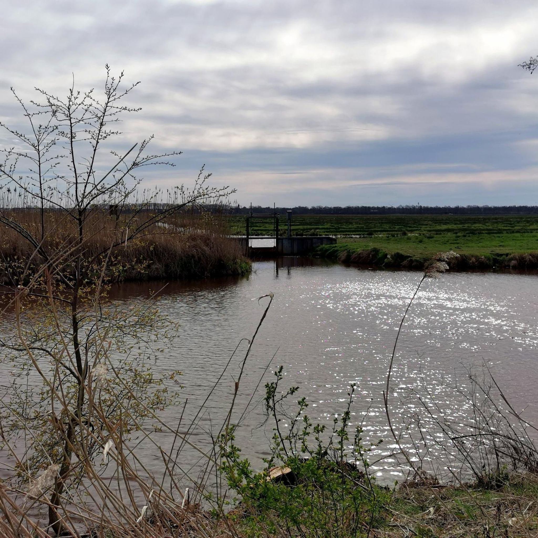
Hiking in Westliches Hollerland offers routes through a tranquil wetland and floodplain terrain, characterized by open, green landscapes and an extensive network of ditches and canals. This area, shaped by centuries of reclamation efforts, provides a unique environment for outdoor activities. The region is an important refuge for diverse plant and animal species, with well-maintained pathways suitable for exploration.
Best hiking trails in Westliches Hollerland
- The most popular hiking route is Wümme River – Jan-Reiners Hiking Trail loop from Kuhgrabensee…
Last updated: October 18, 2026
4.9
(102)
63
hikers
6.86km
01:44
10m
10m
Easy hike. Great for any fitness level. Easily-accessible paths. Suitable for all skill levels.
4.9
(34)
65
hikers
9.50km
02:24
20m
20m
Moderate hike. Good fitness required. Easily-accessible paths. Suitable for all skill levels.

4.9
(20)
68
hikers
Moderate hike. Good fitness required. Easily-accessible paths. Suitable for all skill levels.
4.5
(4)
34
hikers
4.64km
01:10
10m
10m
Easy hike. Great for any fitness level. Easily-accessible paths. Suitable for all skill levels.
5.0
(1)
28
hikers
Easy hike. Great for any fitness level. Easily-accessible paths. Suitable for all skill levels.
Get access to more routes and recommendations from other explorers.
Already have an account?
Our route recommendations are based on thousands of hikes, rides, and runs completed by other people on komoot.
Start today with a free account
Your next adventure awaits.
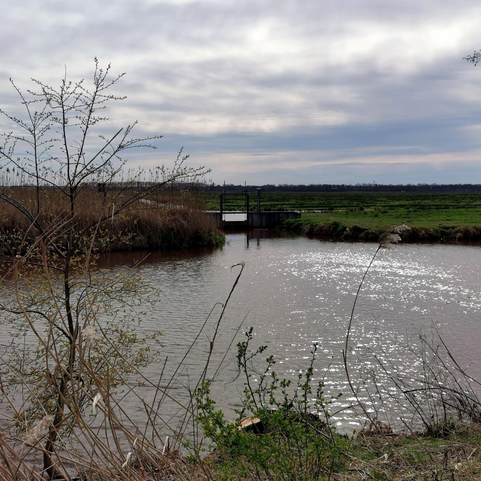
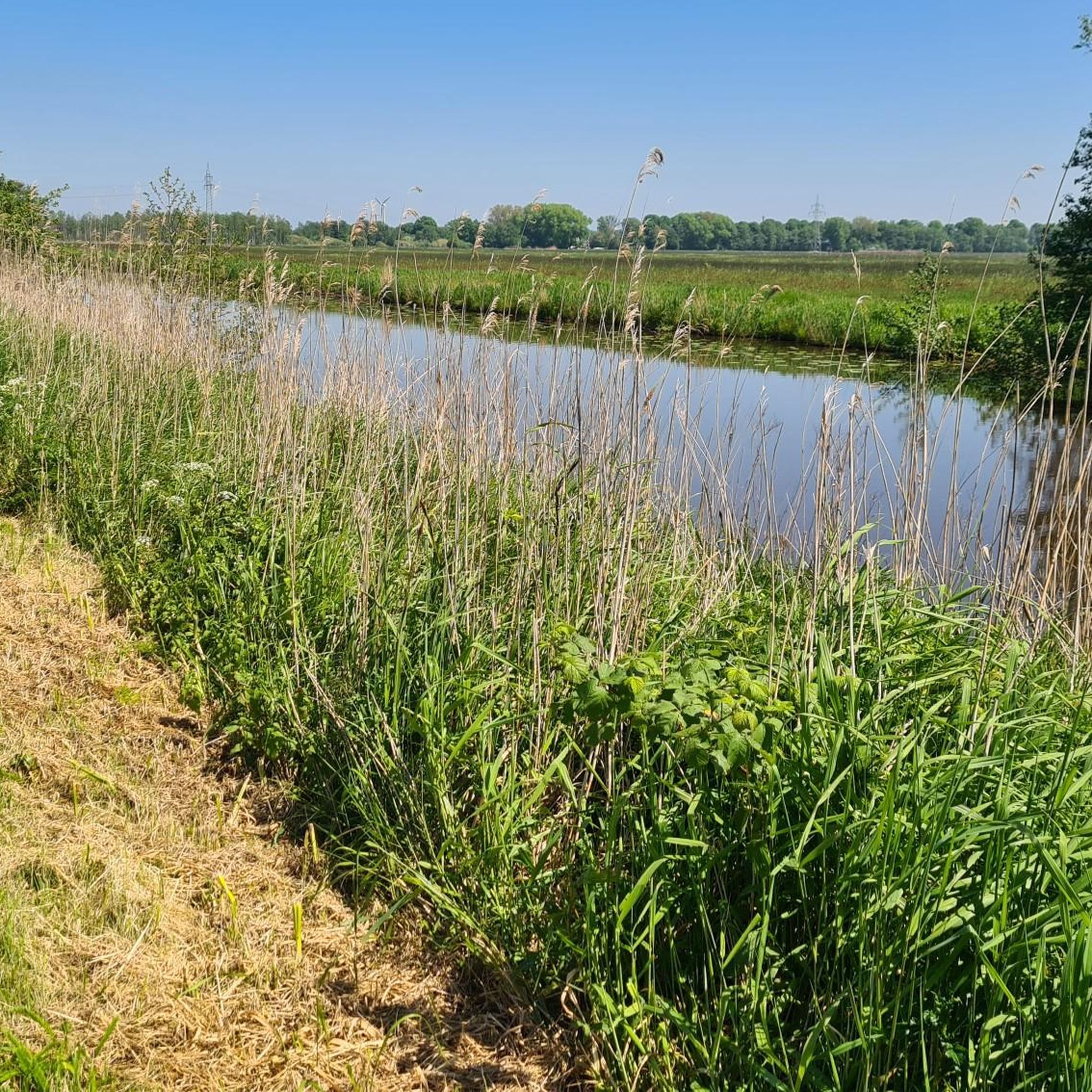
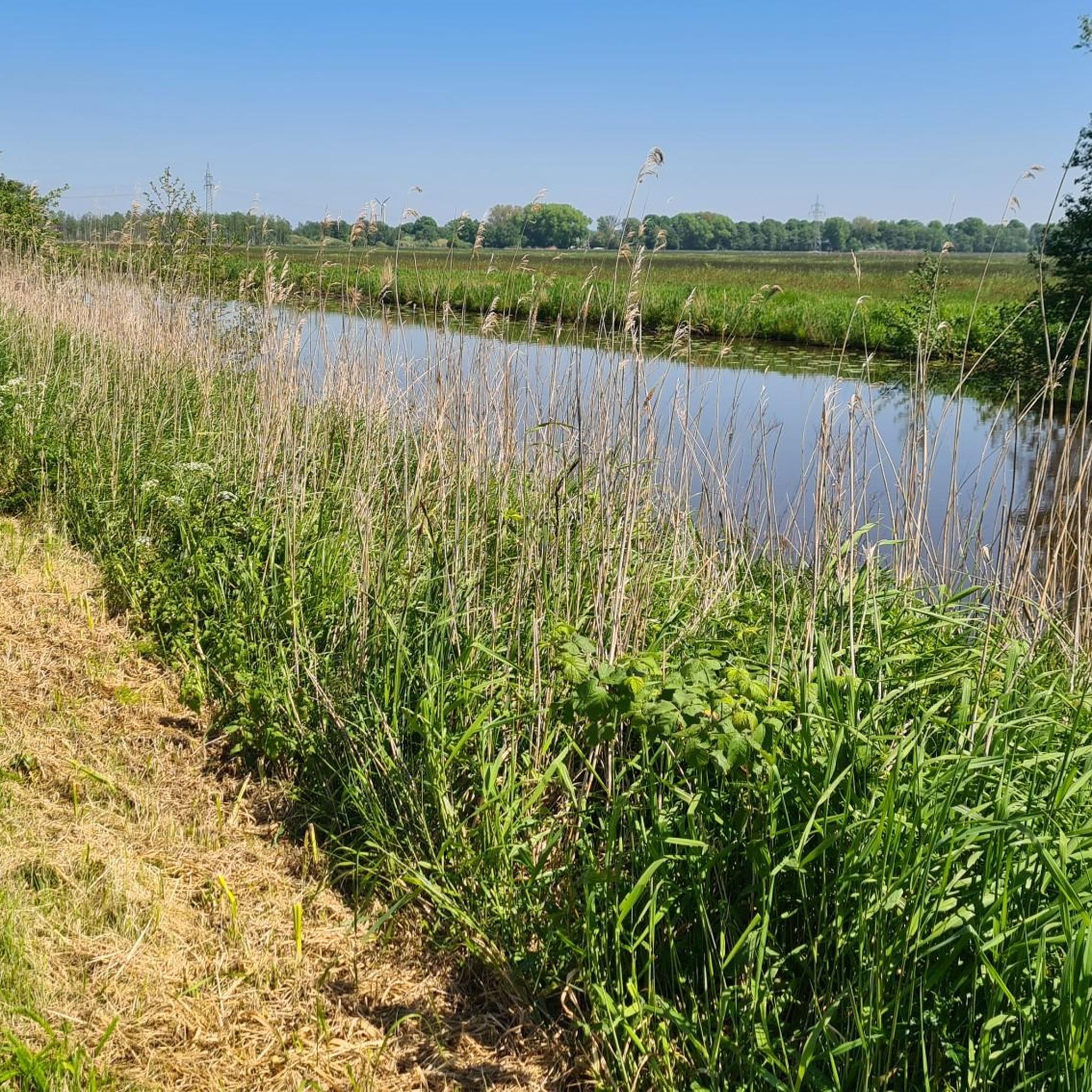
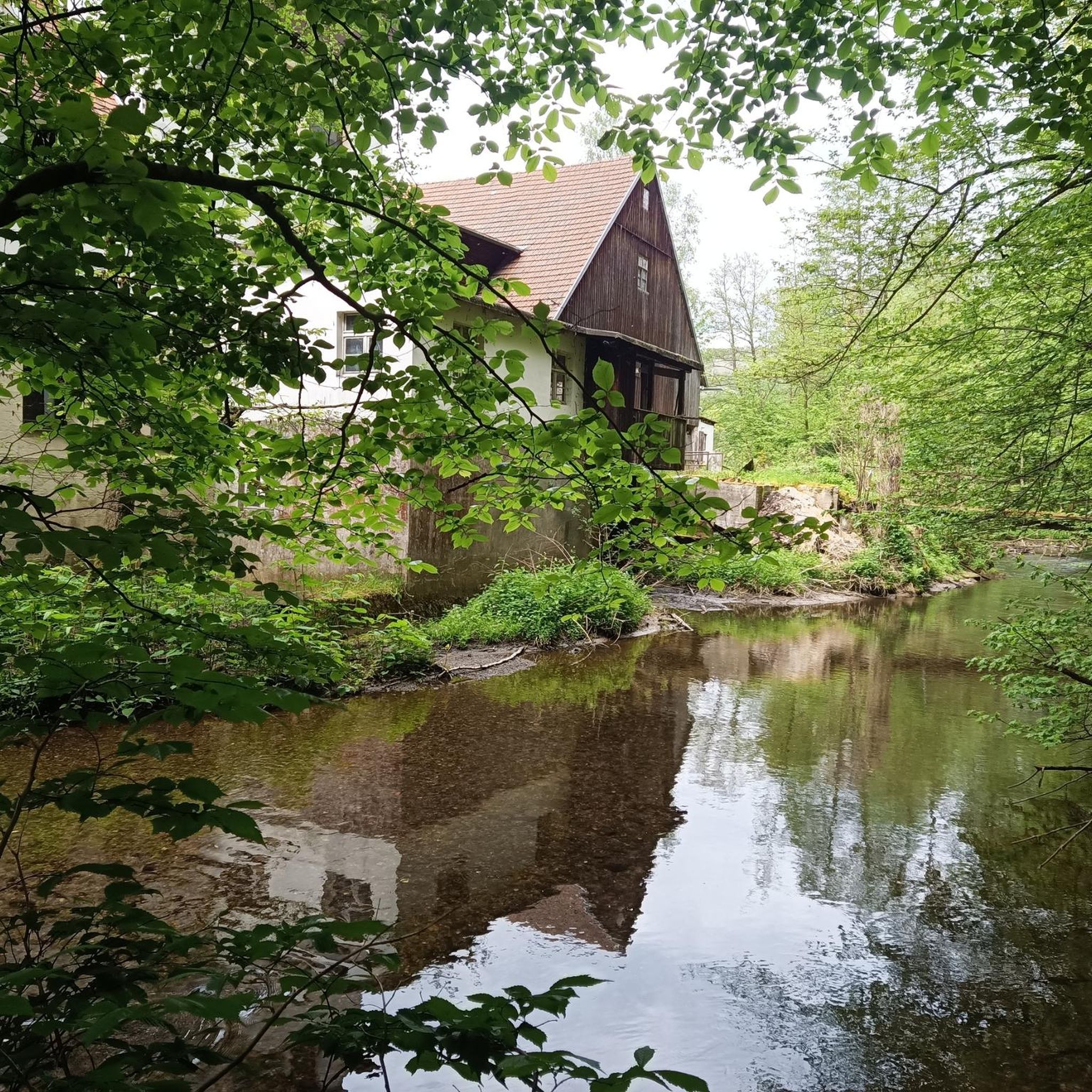
Tips from the Community

Especially in the early morning hours or during the evening sun, you can enjoy the quiet and natural atmosphere of the Bürgerpark.
3
0

The two short Aselmeyer bridges are among the unique features of Bremen's Bürgerpark. Since 1907, they have connected the shores of the small island in the Emmasee lake. They were designed by the Bremen architectural duo Friedrich Wellermann and Paul Frölich. The delicate railings with Art Nouveau ornamentation were crafted in the workshop of the metalworker Justus Leidenberg. The bridges were financed by the bequest of Emma Aselmeyer. They are listed as protected park structures in Bremen's monument database. Especially in the evening, the railings and trees are reflected serenely in the water.
1
0

The Stadtwaldsee or Unisee is a popular swimming lake. Outside of the swimming season, it's also a great place for birdwatching.
0
0

The University Lake, or Stadtwaldsee as it's officially called, is a popular swimming lake. The adjacent University Wilderness is a habitat for animals and plants.
0
0

Am Markt 1, Rathscafé, now the German House, 1908-1911 by Rudolf Jacobs, rebuilt in 1951 by Herbert Anker (1973). Information at: https://www.denkmalpflege.bremen.de/denkmaeler/rathscafe-deutsches-haus-51659 The former Rathscafé, now the "German House," was built as a public building project between 1909 and 1911, taking into account the exposed site. The then young architect Jacobs succeeded in preserving the townscape, which was enthusiastically received by the experts at the time. It remains of great urban significance for the market square ensemble and as the southern wall of the churchyard Unser... opposite.
7
0

The beach at the Stadtwaldsee is ideal for swimming and barbecuing in summer. It is also worth walking around the lake.
0
0

Hopp's Holler rocks.
1
0
Pillegerade + zero gradient = railway line
3
0
Frequently Asked Questions
How many hiking trails are there in Westliches Hollerland?
Westliches Hollerland offers a wide selection of routes, with over 1490 hiking trails available. This includes a diverse range of paths suitable for various preferences and fitness levels.
What is the best time to visit Westliches Hollerland for hiking?
The Westliches Hollerland is particularly beautiful in spring when many of its unique plant species, such as cottongrass, marsh marigolds, and ragged robin, are in bloom. The tranquil wetland environment offers a pleasant experience throughout the warmer months.
What is the terrain like for hiking in Westliches Hollerland?
The terrain in Westliches Hollerland is characterized by its tranquil wetland and floodplain landscape. You'll find open, green meadows crisscrossed by an extensive network of ditches and canals. The paths are generally easily walkable and do not require special skills, making them accessible for most hikers.
Are there easy hiking trails suitable for beginners?
Yes, Westliches Hollerland is very beginner-friendly, with over 1100 easy routes. Many paths are flat and well-maintained, such as the Wümme River – Jan-Reiners Hiking Trail loop from Kuhgrabensee, which is an easy 6.9 km trail following the Wümme River.
Are there any challenging hikes in Westliches Hollerland?
While Westliches Hollerland is known for its gentle terrain, there are a few routes that offer a bit more distance or varied conditions, with 34 trails rated as difficult. However, the overall elevation changes in the region are minimal, so 'difficult' typically refers to length rather than steep climbs.
Are the hiking trails in Westliches Hollerland family-friendly?
Absolutely. The easily walkable paths and gentle terrain make Westliches Hollerland an excellent destination for families. Many routes are suitable for all fitness levels, providing a peaceful and safe environment for children to explore nature.
Can I bring my dog on the hiking trails?
Westliches Hollerland is generally dog-friendly, with many open spaces and paths suitable for walks with your canine companion. However, as it is a nature reserve, it's important to keep dogs on a leash to protect the diverse flora and fauna, especially during breeding seasons.
Are there circular hiking routes in Westliches Hollerland?
Yes, Westliches Hollerland offers several circular routes. For example, there's a popular circular path of approximately seven kilometers that allows hikers to encircle the entire area, providing a comprehensive experience of the landscape.
What natural features can I expect to see while hiking?
You'll encounter a rich variety of natural features, including extensive networks of ditches and canals, open green meadows, and diverse flora like cottongrass and marsh marigolds. The area is also an important refuge for various bird species and vibrant dragonflies. The 'Hollerwald' within the reserve is known for its mushroom flora and songbirds.
Are there any notable landmarks or points of interest along the trails?
Yes, hikers can discover several points of interest. The Kuhsiel Lock is a notable highlight, and the Western Hollerland Nature Reserve itself is the primary attraction. You can also walk along sections of the Jan Reiners Cycle Path, a former railway line, or relax on benches along the Kuhgrabenweg.
Is there parking available for hikers in Westliches Hollerland?
While specific parking areas are not detailed, Westliches Hollerland is easily accessible from surrounding areas like Bremen. Visitors typically find parking options in the nearby residential areas or designated spots at trailheads, especially near popular access points.
How can I reach Westliches Hollerland using public transport?
Westliches Hollerland is located on the outskirts of Bremen and can be reached by public transport. Local bus and tram lines from Bremen city center often serve the surrounding districts, providing convenient access to various entry points of the nature reserve.
What do other hikers enjoy most about Westliches Hollerland?
Hikers consistently rate Westliches Hollerland highly, with an average score of 4.5 stars from over 3900 reviews. The komoot community often praises the area for its tranquil wetland scenery, the well-maintained paths, and the opportunities to observe diverse wildlife in a peaceful setting.
Are there any routes that follow historical paths?
Yes, a significant historical path in the area is the Jan Reiners Cycle Path, which was originally a railway line. Hiking along this converted path, as seen in routes like the Rest Area Shelter – Jan Reiners Railway Path loop from Horn-Lehe, offers a glimpse into the region's past while enjoying the natural surroundings.
Most popular routes in Westliches Hollerland
Most popular attractions in Westliches Hollerland

Get inspired with the komoot mobile app


Explore more
Browse the best Hikes in other regions.
