The best walks and hikes in Untere Wümme
4.5
(7270)
39,690
hikers
19
hikes
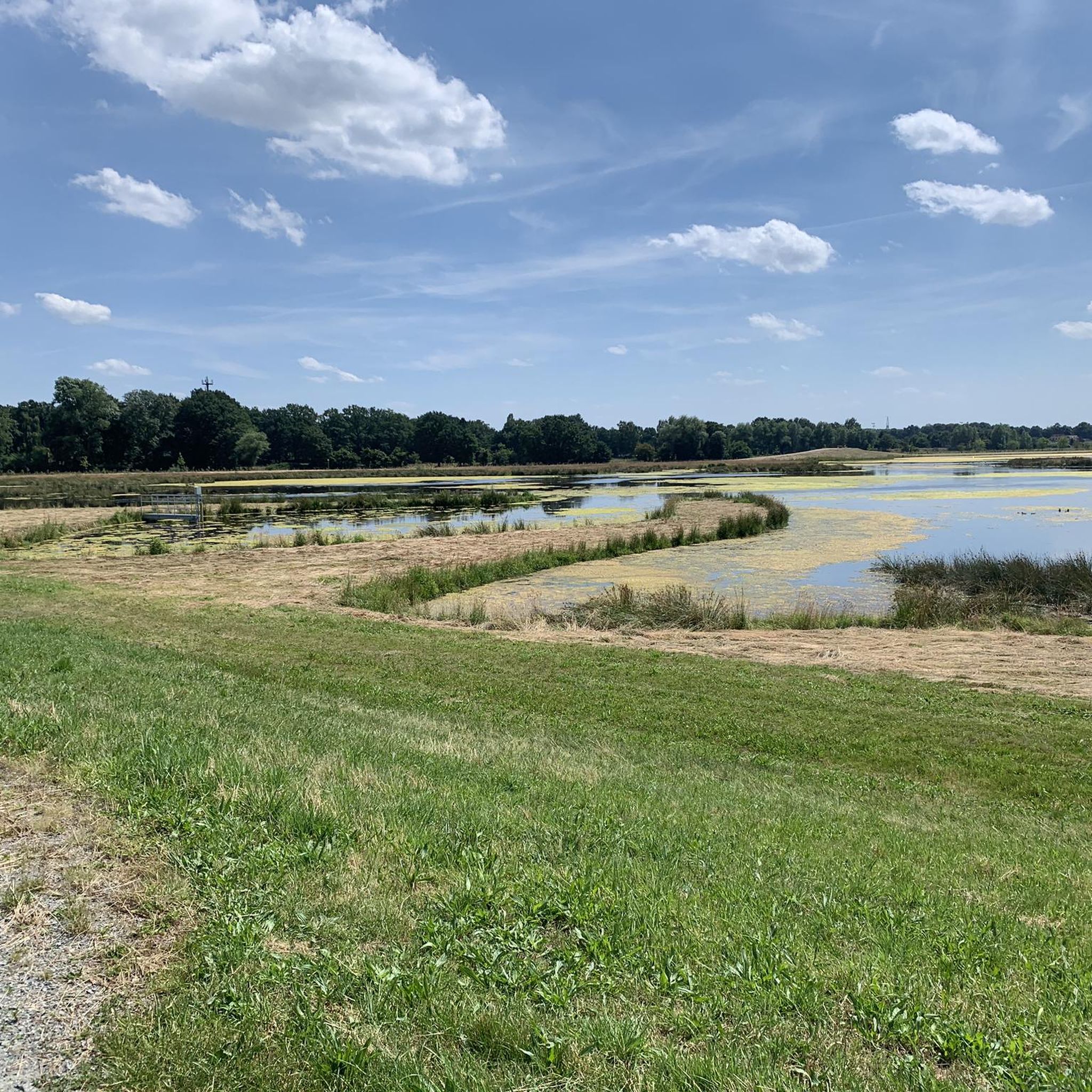
Hiking in Untere Wümme offers diverse natural landscapes along the lower stretch of the Wümme River near Bremen, Germany. The region features wide meadows and floodplains, with the Wümme River flowing in natural loops. Protected areas like the nature reserve Untere Wümme and Borgfelder Wümmewiesen provide tranquil environments. The Blockland, Bremen's greenest district, also contributes to the area's extensive network of paths.
Best hiking trails in Untere Wümme
- The most popular hiking route is Inn at the Lock – Jan…
Last updated: August 11, 2026
4.9
(94)
59
hikers
6.86km
01:44
10m
10m
Easy hike. Great for any fitness level. Easily-accessible paths. Suitable for all skill levels.
4.7
(27)
70
hikers
Moderate hike. Good fitness required. Easily-accessible paths. Suitable for all skill levels.

Sign up for free
3
hikers
Easy hike. Great for any fitness level. Easily-accessible paths. Suitable for all skill levels.
3.8
(11)
26
hikers
Moderate hike. Good fitness required. Easily-accessible paths. Suitable for all skill levels.
3.0
(1)
8
hikers
Easy hike. Great for any fitness level. Easily-accessible paths. Suitable for all skill levels.
Get access to more routes and recommendations from other explorers.
Sign up for free
Already have an account?
Our route recommendations are based on thousands of hikes, rides, and runs completed by other people on komoot.
Start today with a free account
Your next adventure awaits.
Login or Signup
Tips from the Community

Old town hall of the municipality of Ritterhude, beautiful old building.
2
0

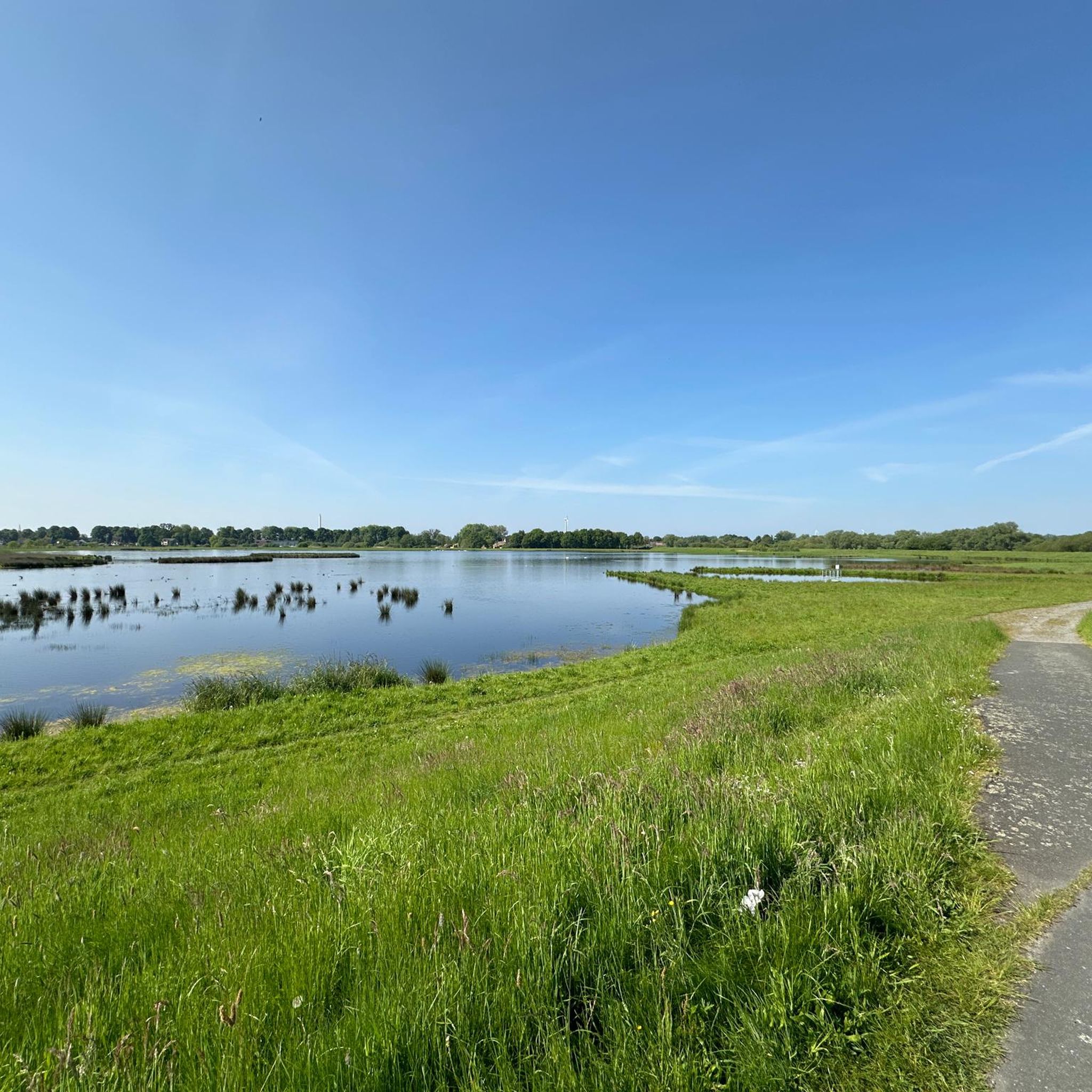
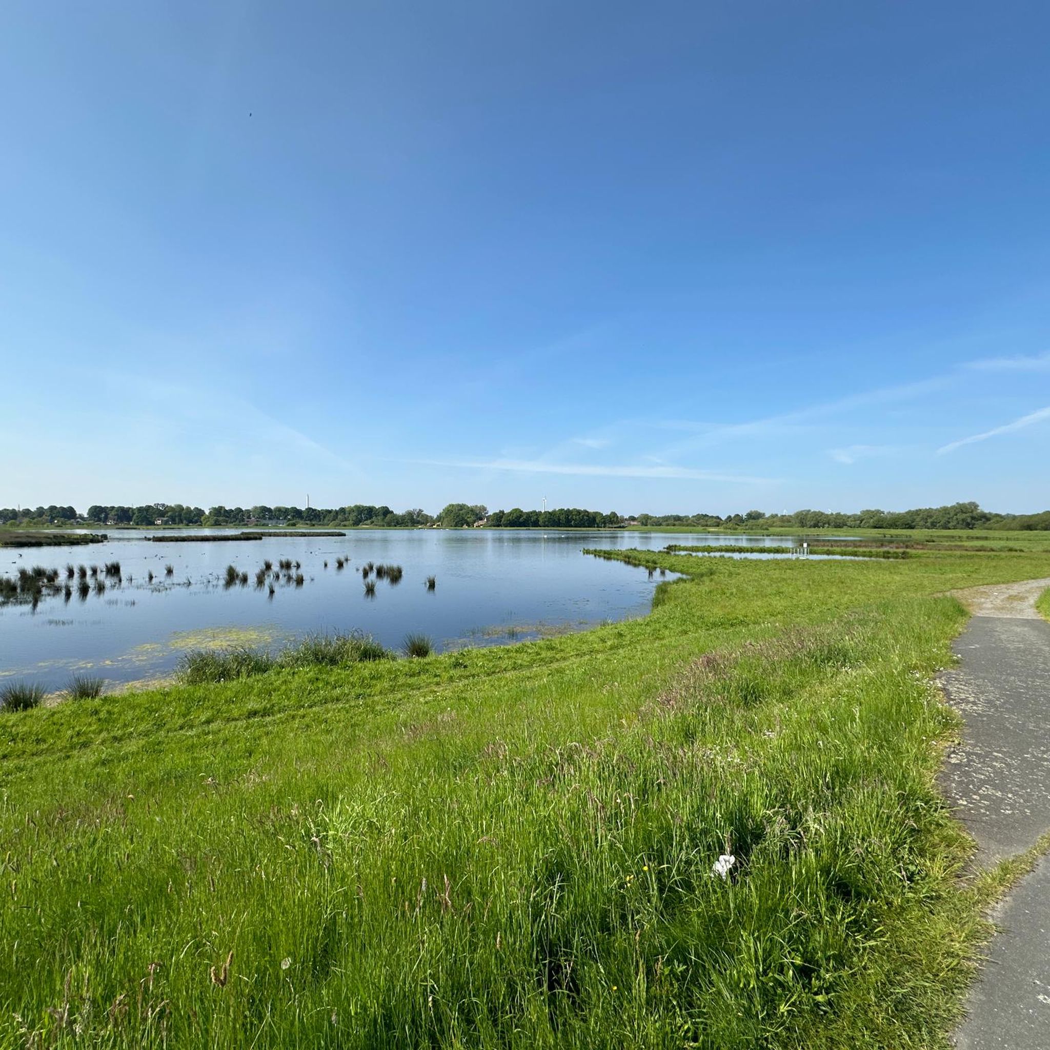
Beautiful route – any time of year. But be careful and considerate of each other!
0
0

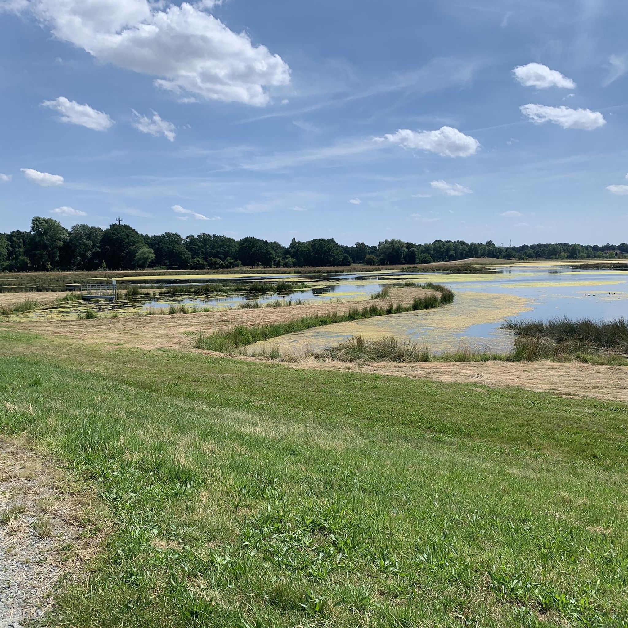
It's worth a stop here. An old technique that still serves its purpose.
0
0

Nice to ride the bike!
4
0

The first stage of the Lower Weser Trail also runs along here.
0
0

The structural origins of the main building of the Dammgut, a noble residence, surrounded by a moat, date back to the 14th century.
2
0


The bridge monument "Jan Reiners Bridge" is located on the Jan Reiners cycle path and commemorates the historic railway bridge that once crossed the Wümme. The Jan Reiners Railway, a narrow-gauge railway, ran between Bremen and Tarmstedt from 1900 to 1956. Part of the original bridge has been preserved as a monument and is now a popular resting place for cyclists and hikers on the cycle path. The original bridge had to make way for the construction of a bypass in 2008. However, a fragment of the bridge was erected as a monument on the initiative of the Borgfeld Citizens' Association to commemorate the historical significance of the Jan Reiners Railway.
1
0
Frequently Asked Questions
What kind of terrain can I expect on hiking trails in Untere Wümme?
The Untere Wümme region is characterized by wide meadows, tranquil floodplains, and the winding Wümme River. You'll find mostly flat paths along the riverbanks and through green landscapes, making for generally easy and accessible hiking.
How many hiking trails are available in Untere Wümme?
There are over 20 hiking routes available in Untere Wümme, catering to various fitness levels. These include easy strolls and more challenging long-distance routes.
Are there any family-friendly hiking options in Untere Wümme?
Yes, many trails in Untere Wümme are suitable for families. The region offers numerous easy paths through meadows and along the river, perfect for all ages. For example, the Wümme River – Jan-Reiners Hiking Trail loop from Kuhgrabensee is an easy 4.3-mile (6.9 km) path that follows the river.
Can I bring my dog on the hiking trails in Untere Wümme?
Yes, the natural landscapes of Untere Wümme are generally dog-friendly. Many trails along the Wümme River and through the open meadows are suitable for walks with your dog. Please ensure your dog is kept on a leash, especially in nature reserves and near livestock, and always clean up after your pet.
What interesting landmarks or natural features can I see along the trails?
Along the trails, you can discover several interesting points. The Kuhsiel Lock and Dammsiel Lock are notable man-made structures in idyllic settings. You can also experience the scenic Wümme bend in Blockland, a picturesque stretch of the river.
What is the best time of year to go hiking in Untere Wümme?
The Untere Wümme region is beautiful year-round, but spring and summer offer lush green landscapes and pleasant temperatures ideal for hiking. Autumn brings colorful foliage, while winter can provide serene, frosty views, though some paths might be muddy or icy.
Are there any circular hiking routes in Untere Wümme?
Yes, many of the hiking routes in Untere Wümme are circular, allowing you to start and end at the same point. An example is the Inn at the Lock – Jan Reiners Bridge Memorial loop from Untere Wümme, which is a moderate 7.0-mile (11.2 km) trail.
What do other hikers enjoy most about hiking in Untere Wümme?
The area is highly rated by the komoot community, with an average score of 4.4 stars from over 2700 reviews. Hikers often praise the tranquil river landscapes, the extensive network of paths through wide meadows, and the opportunity to connect with nature away from urban bustle.
Are there options for public transport to access hiking trails?
While specific public transport connections to every trailhead may vary, the Untere Wümme region is located near Bremen, which has good public transport links. It's advisable to check local bus routes that might serve villages or access points along the Wümme River.
Where can I find parking for hiking trails in Untere Wümme?
Parking is generally available near popular trailheads and attractions in the Untere Wümme region, especially in villages or near locks like Kuhsiel and Dammsiel. Look for designated parking areas or roadside parking where permitted.
Are there any cafes or places to eat near the hiking paths?
Yes, you can find cafes and eateries in the villages and towns bordering the Untere Wümme region. Some routes, like the Wümme Bridge – Melkhus Milk Farm Bremen loop from Grambker Feldmarksee, might pass by local establishments such as milk farms or inns where you can stop for refreshments.
What kind of wildlife can I expect to see while hiking?
The diverse natural landscapes of Untere Wümme, including its floodplains and protected areas, are home to various wildlife. You might spot native fish in the Wümme River, numerous bird species, and perhaps even some of the many cows that graze in the Blockland area.
Most popular routes in Untere Wümme
Most popular attractions in Untere Wümme

Get inspired with the komoot mobile app


Explore more
Browse the best Hikes in other regions.
