The best walks and hikes in Glüsinger Bruch und Osterbruch
4.6
(6555)
23,550
hikers
1,111
hikes
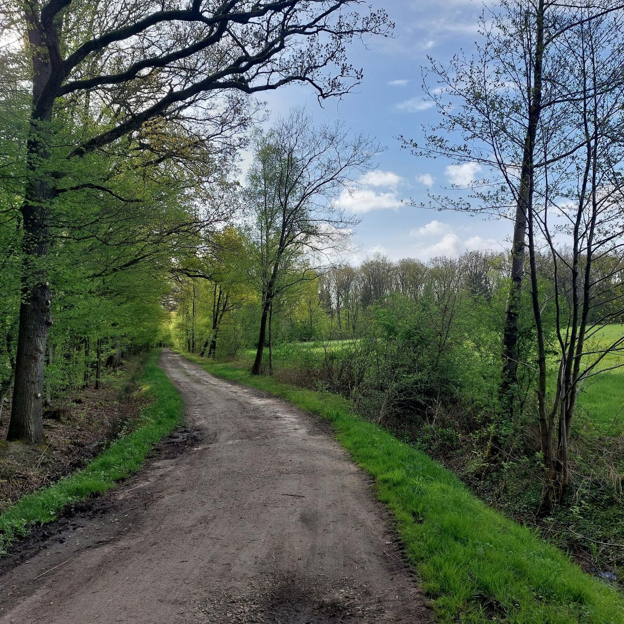
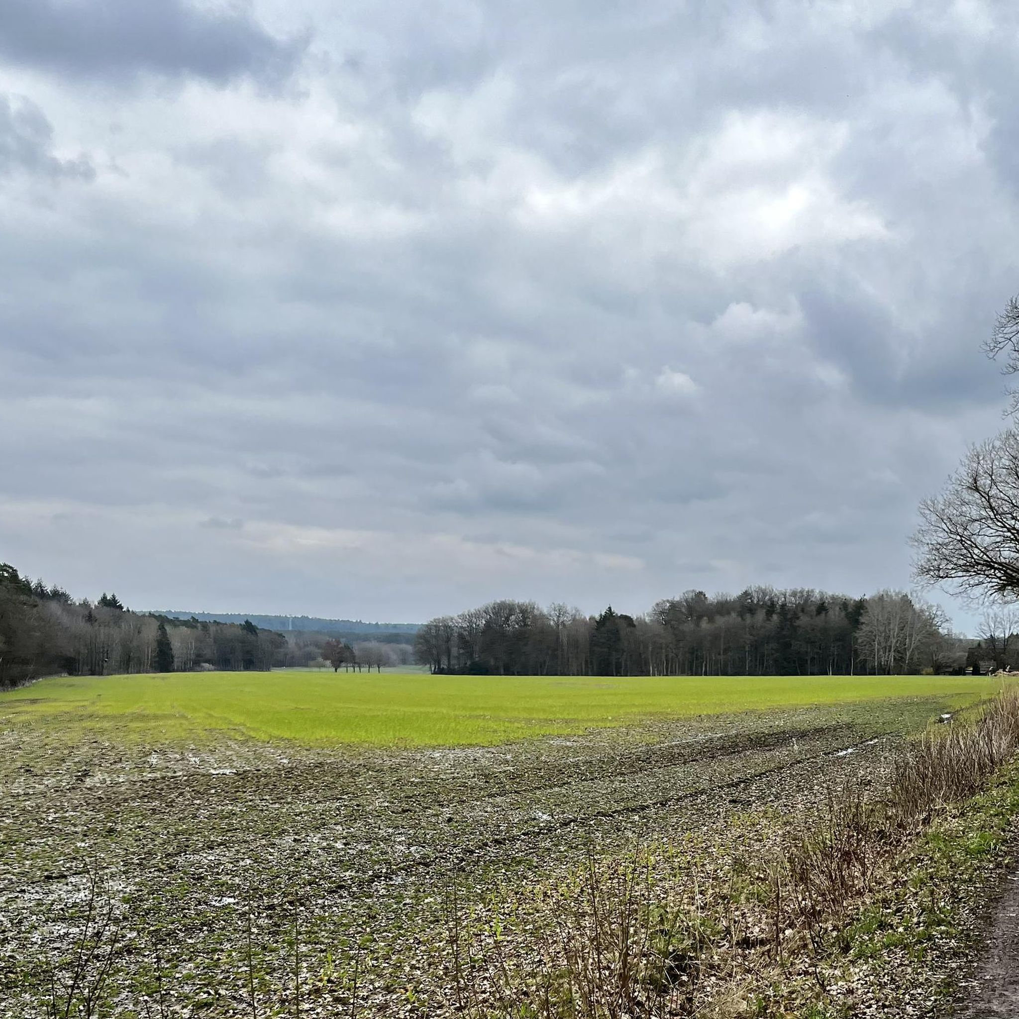
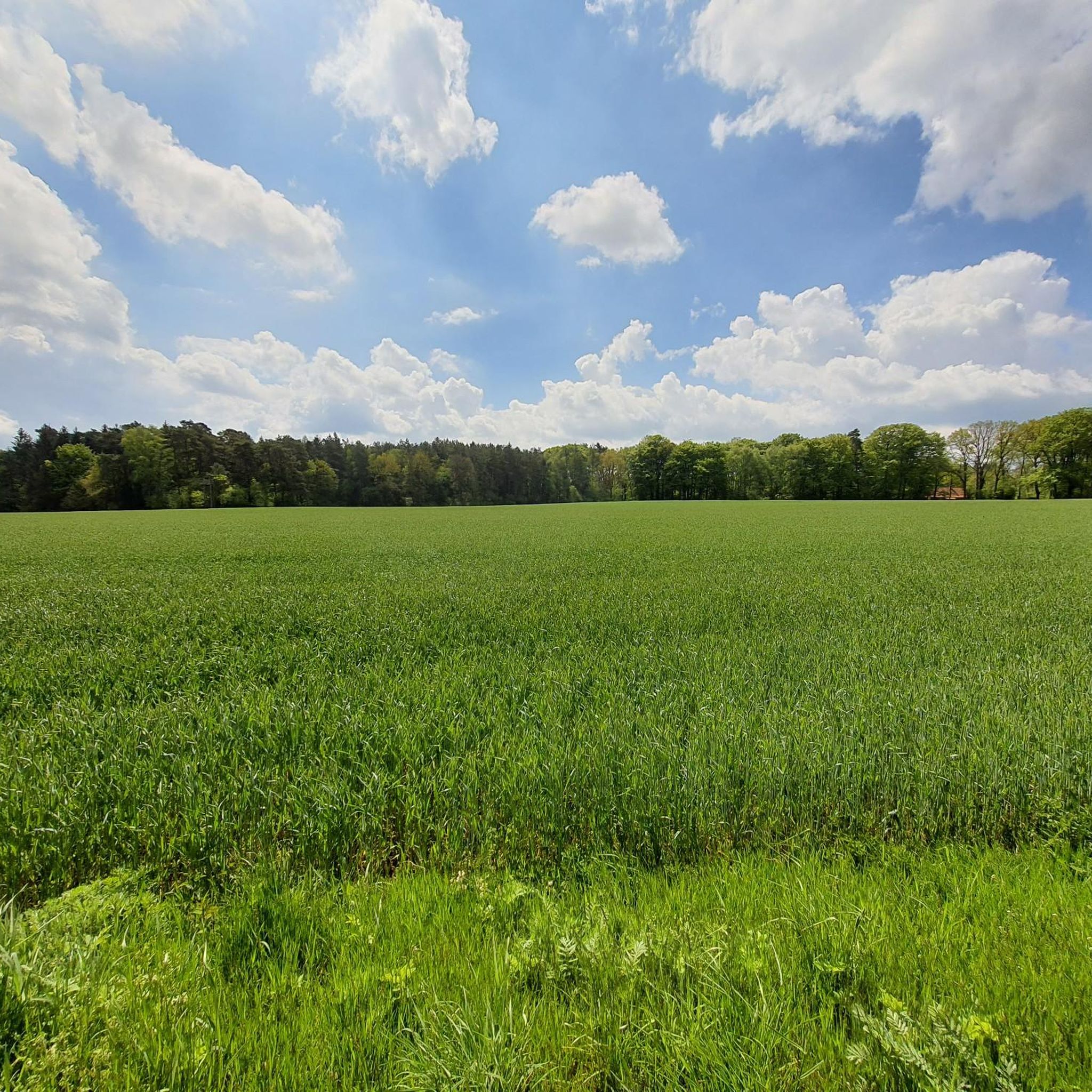
Hiking trails in Glüsinger Bruch und Osterbruch traverse a diverse landscape featuring swampy forests, wet grasslands, and river floodplains. The region, a nature reserve established in 2018, is characterized by extensive woodlands of oak, hornbeam, and alder, particularly in the Glüsinger Bruch section. The Osterbruch area includes rich herb layers, reed beds, and ponds along the Langeloher Bach. Hikers can also experience the Otterberg hill and the clean waters of the Wümme river, which flows through meadows and fields.
Best…
Last updated: October 18, 2026
5.0
(7)
13
hikers
Moderate hike. Good fitness required. Easily-accessible paths. Suitable for all skill levels.
4.3
(3)
21
hikers
4.22km
01:05
20m
20m
Easy hike. Great for any fitness level. Easily-accessible paths. Suitable for all skill levels.

4.9
(8)
35
hikers
4.38km
01:08
20m
20m
Easy hike. Great for any fitness level. Easily-accessible paths. Suitable for all skill levels.
4.1
(9)
26
hikers
11.4km
02:56
50m
50m
Moderate hike. Good fitness required. Easily-accessible paths. Suitable for all skill levels.
24
hikers
5.43km
01:23
20m
20m
Easy hike. Great for any fitness level. Easily-accessible paths. Suitable for all skill levels.
Get access to more routes and recommendations from other explorers.
Already have an account?
Our route recommendations are based on thousands of hikes, rides, and runs completed by other people on komoot.
Start today with a free account
Your next adventure awaits.
Tips from the Community

A marvel of bridge architecture :p Just kidding... a little bridge over the little stream
3
0

Beautiful forest path to the forest bathing.
1
0
Beautiful forest in every season
1
1
Beautiful path over the Este bridge with a small rushing waterfall.
1
0
It's always nice to enjoy the rushing water of the Este and the dogs can also play a little in the water.
1
2
Idyllic path that invites you to hike.
1
0
Always nice to listen to the Estonian.
1
0
Back again after 3 years, still beautiful.
1
0
Frequently Asked Questions
How many hiking trails are available in Glüsinger Bruch und Osterbruch?
Glüsinger Bruch und Osterbruch offers a wide selection of over 1,100 hiking routes. This includes a variety of options, with more than 760 easy trails, over 320 moderate routes, and around 35 more challenging excursions, ensuring there's something for every hiker.
What kind of terrain can I expect on the trails in Glüsinger Bruch und Osterbruch?
The terrain is quite diverse, reflecting the region's unique character as a nature reserve. You'll encounter sections through Bruchwald (swampy forests) with oak, hornbeam, and alder trees, as well as wet grasslands, reed beds, and ponds along the Langeloher Bach. Trails also follow the clean waters of the Wümme river and feature mosaics of meadows and fields. While some parts may be asphalted between villages, the majority immerse you in nature.
Are there easy hiking options suitable for beginners or families?
Yes, Glüsinger Bruch und Osterbruch is very welcoming for beginners and families. Over 760 of the available routes are classified as easy. For example, the Glüsinger Bruch – Osterbruch loop from Samtgemeinde Tostedt is an easy 2.6-mile (4.2 km) path that showcases the core nature reserve's unique ecosystems, perfect for a relaxed outing.
Can I bring my dog on the hiking trails?
Generally, dogs are welcome on the hiking trails in Glüsinger Bruch und Osterbruch. As it is a nature reserve, it's important to keep your dog on a leash to protect the local wildlife and natural habitats, especially in areas with wet grasslands and reed beds where ground-nesting birds or other animals might be present.
What natural features or landmarks can I see along the routes?
Hikers can explore a variety of natural features and cultural landmarks. You'll experience unique swampy forests and wet grasslands, walk along the clean Wümme river, and potentially ascend the Otterberg for wider views. In the village of Kampen, you can also visit the historic Kampener Mühle, a Dutch windmill.
Are there any circular hiking routes in the area?
Yes, many of the trails in Glüsinger Bruch und Osterbruch are circular, offering convenient starting and ending points. An example of an easy circular route is the Glüsinger Bruch loop from Samtgemeinde Tostedt, which is 2.6 miles (4.2 km) long and takes you through the distinctive Bruchwald.
What is the best time of year to visit Glüsinger Bruch und Osterbruch for hiking?
The region offers unique experiences throughout the year. Spring brings lush greenery and blooming wildflowers, while autumn showcases vibrant foliage in the forests. Summer is ideal for longer hikes, and even winter can be beautiful, with frosty landscapes. However, due to the 'Bruchwald' (swampy forest) and wet grasslands, some areas might be muddy after heavy rain or during wetter seasons, so appropriate footwear is always recommended.
Where can I park when visiting Glüsinger Bruch und Osterbruch?
A convenient starting point for many hikes is the Park & Ride facility at Tostedt train station. This provides easy access to the trails and is a good option for parking your vehicle before heading out.
Are there any cafes or places to eat near the hiking trails?
The hiking paths connect several charming small villages such as Hoinkenbostel, Kampen, and Otter. While specific cafes aren't listed, these villages often offer local establishments where you might find refreshments or a meal, especially in Kampen near the Kampener Mühle.
What do other hikers enjoy most about hiking in Glüsinger Bruch und Osterbruch?
The area is highly rated by the komoot community, with an average score of 4.6 stars from over 5,300 reviews. Reviewers often praise the diverse natural landscapes, from the unique swampy forests to the peaceful river floodplains, and the well-maintained trails that offer a blend of nature and cultural heritage.
Are there longer, more challenging routes for experienced hikers?
Yes, for those seeking a longer and more moderate challenge, routes like the Brunsberg Nature Reserve – Bridge over the Büsenbach loop from Glüsinger Bruch und Osterbruch are available. This trail is 8.7 miles (14.1 km) long and takes approximately 3 hours 42 minutes to complete, offering varied terrain through woodlands and along waterways.
Most popular routes in Glüsinger Bruch und Osterbruch

Get inspired with the komoot mobile app


Explore more
Browse the best Hikes in other regions.
