Attractions and Places To See in Asselersand - Top 14
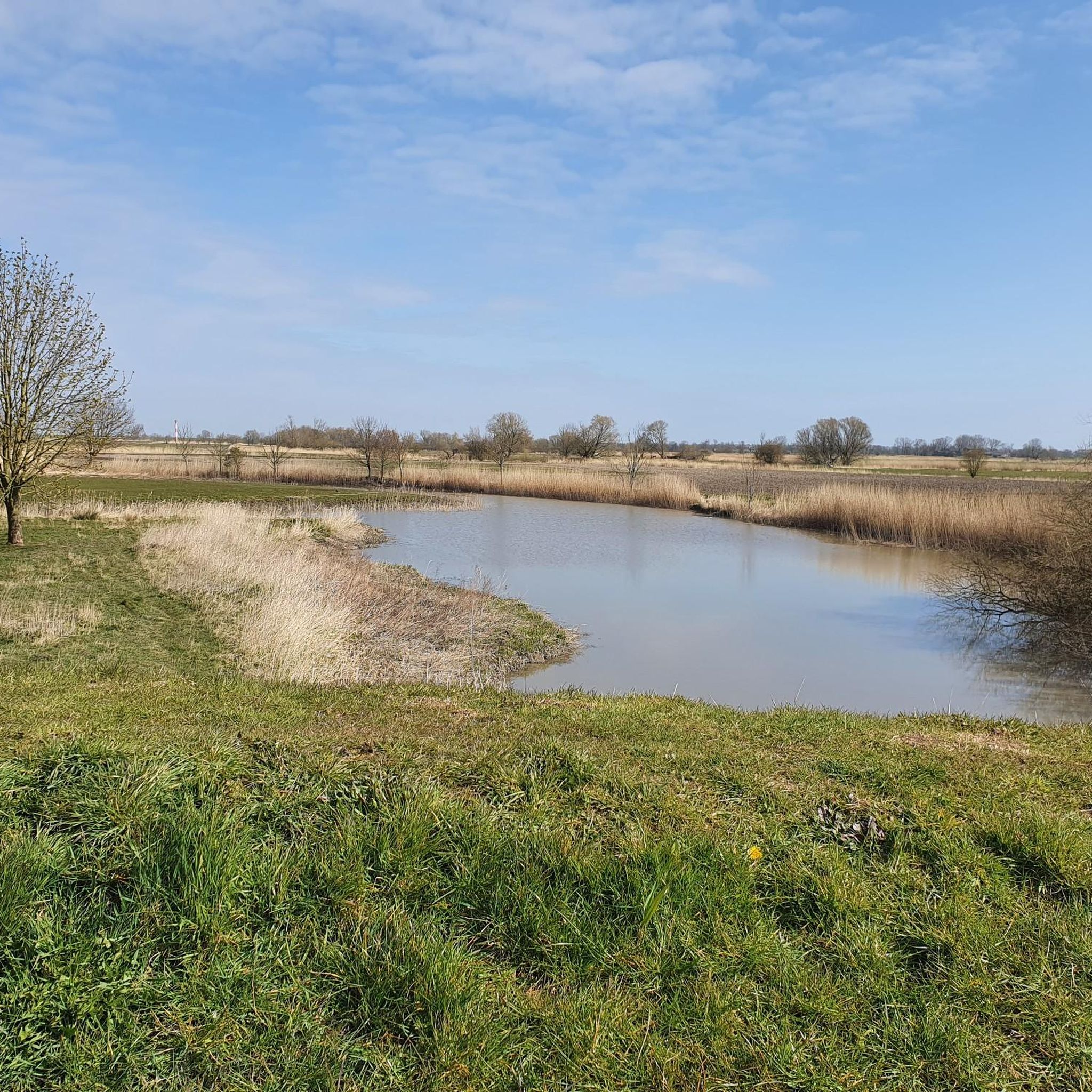
Best attractions and places to see in Asselersand, a former island on the Lower Elbe, are primarily characterized by its natural beauty and ecological significance. This region in the Kehdinger Land near Drochtersen, Germany, features extensive marshland and is influenced by the Elbe estuary. It is known for its nature reserve, which serves as a crucial resting area for migratory birds and a breeding ground for various bird species. The area offers a tranquil escape for those interested in outdoor…
Last updated: October 9, 2026
Ruthenstrom Flood Barrier (Ruthenstromsperrwerk)
Highlight • Monument
Translated by Google •
Tip by

Ruthensand Lower Lighthouse
Highlight • Monument
Translated by Google •
Tip by

Sign up now to discover places like this
Get recommendations on the best single tracks, peaks, & plenty of other exciting outdoor places.
Barnkrug Harbor
Highlight • Structure
Translated by Google •
Tip by

Ruthenstrom Marina
Highlight • Rest Area
Translated by Google •
Tip by
Barnkrug: Bike repair station on the Elbe dike
Highlight • Rest Area
Translated by Google •
Tip by
Sign up for free to discover even more attractions in Asselersand.
Already have an account?
Start today with a free account
Your next adventure awaits.
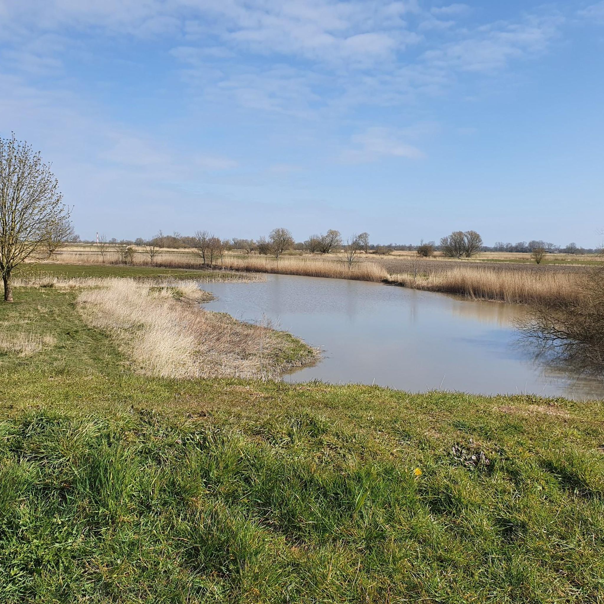
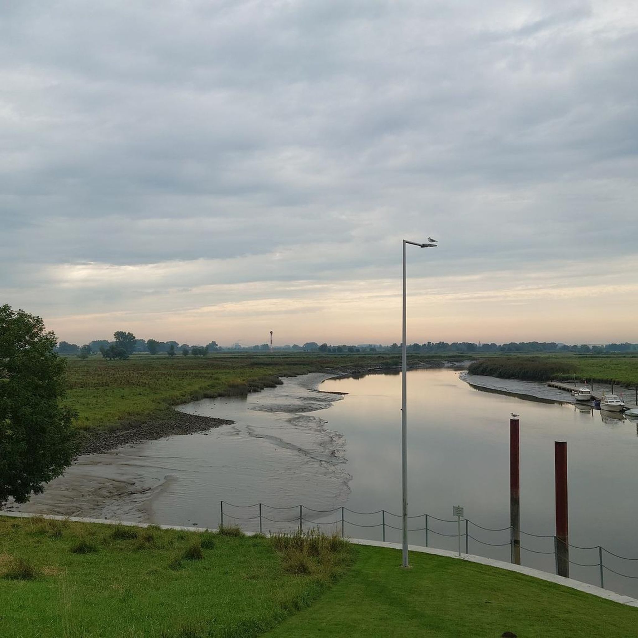
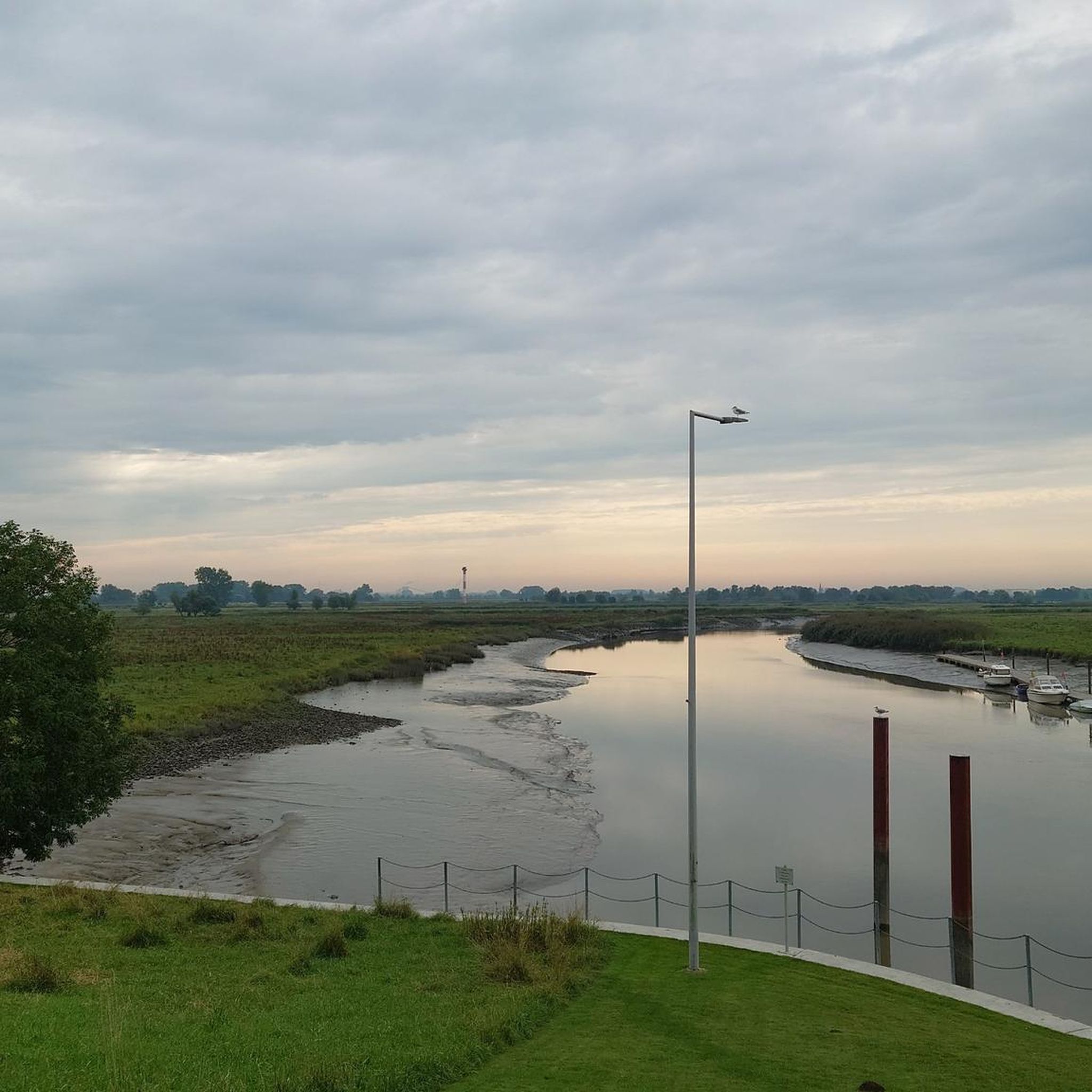
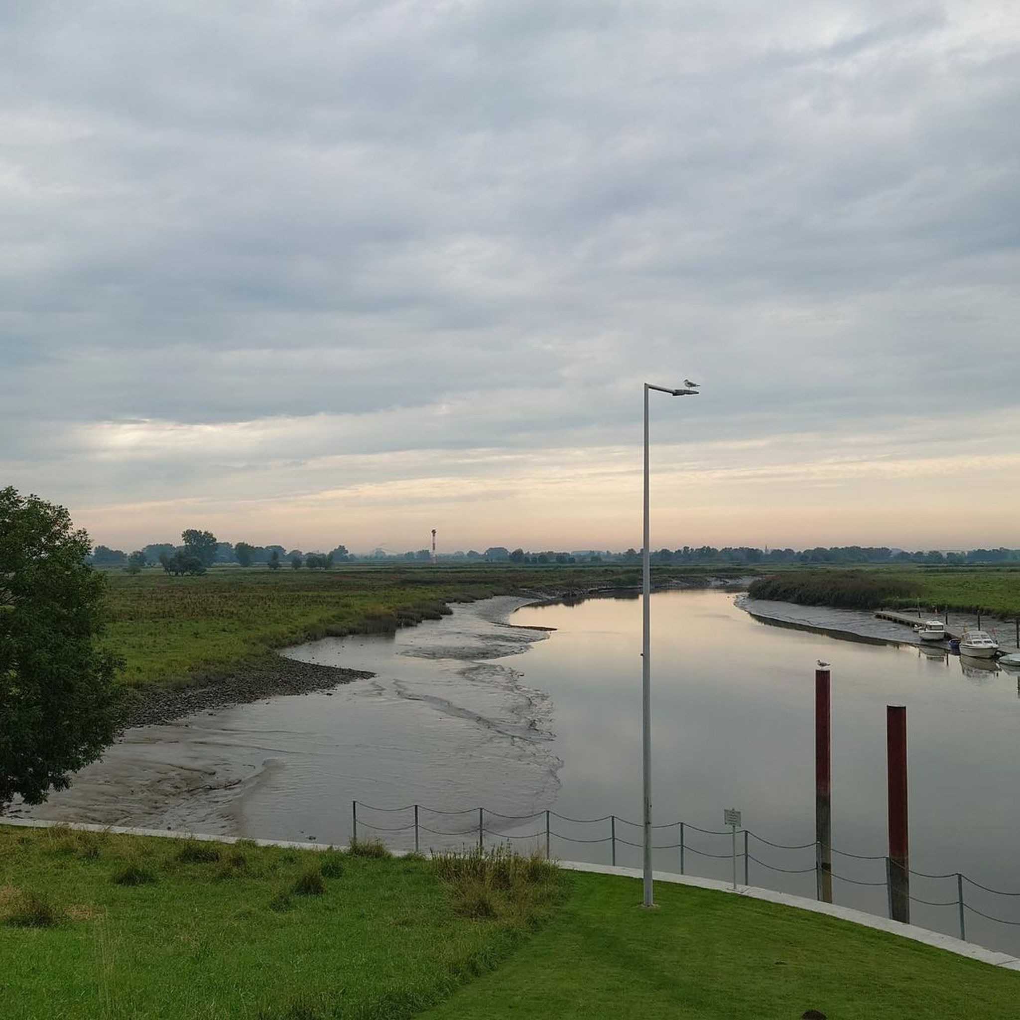
Tips from the Community

A bike repair station (also called a bicycle repair column or air station) is a public facility that provides cyclists with tools and equipment for minor repairs and maintenance work. They are usually free and accessible 24/7.
1
0

A great bike and hiking trail runs along here amidst beautiful nature.
2
1
A great cycling and hiking trail leads along here amidst beautiful nature.
2
0
A very idyllic little harbor in Barenkrug. A great hiking and cycling trail runs along here amidst beautiful nature 💚 highly recommended.
1
1
A pretty little harbor for a relaxing break after a hike or bike ride 😉.
4
1
Here on the Elbe dike near Barnkrug, there's a bike station and a picnic area. If your repairs take a little longer, there's also a book phone booth and a playground. You can also enjoy a beautiful view of the surrounding area from the Elbe dike 💙, which is located nearby. A visit is highly recommended 👍.
3
0
It's on the way to Krautsand and is a great place to stop for a rest. Swallow nests can be seen in abundance here, always a great spectacle 😀.
2
1

From here, continue leisurely towards Krautsand.
1
0
Frequently Asked Questions
What natural features can I explore in Asselersand?
Asselersand is primarily known for its natural beauty and ecological significance. The most prominent feature is the Naturschutzgebiet Asselersand, a 632-hectare nature reserve. This wetland is a crucial resting area for migratory birds and a breeding ground for various grassland, water, and reed birds. You'll find extensive marshland, reed beds, and unique flora like chessboard flowers. The area is also influenced by the Elbe estuary, offering characteristic open marsh landscapes.
Are there any significant man-made landmarks to see in Asselersand?
Yes, Asselersand features important man-made structures related to flood protection and navigation. You can visit the Ruthenstrom Flood Barrier (Ruthenstromsperrwerk), operational since 1978, which protects the island of Krautsand and nearby towns from storm surges. Nearby, you'll find the Ruthensand Lower Lighthouse, a distinctive red and white lighthouse marking the fairway for the southern entry into the Glückstadt Elbe.
What kind of outdoor activities can I do in Asselersand?
Asselersand offers excellent opportunities for hiking, cycling, and running, especially along the dikes and through the marshlands. You can find detailed routes for these activities. For cycling, explore options like the 'Elbe Cycle Path – Stadermoor loop' or the 'Grauerort Fortress – Abbenfleth Dike Trail loop'. Hikers might enjoy the 'Ruthenstrom Barrage – Assel Harbor loop' or the 'Assel Harbor – Asselersand Lake loop'. Runners have routes such as the 'Assel Harbor loop' or the 'Elbe cycle path - Am Ruthenstrom loop'. You can find more information on these activities at Cycling in Asselersand, Running Trails in Asselersand, and Hiking in Asselersand.
Is Asselersand a good destination for families with children?
Yes, Asselersand offers family-friendly options. The Playground With Picnic Benches and Book Exchange in Barnkrug is a great spot for children, featuring a playground, picnic area, and even a book exchange in an old phone booth. Many of the walking and cycling paths along the dikes are also suitable for families to enjoy the natural surroundings and observe wildlife.
Where can I observe wildlife, especially birds, in Asselersand?
The best place for wildlife and bird spotting is the Naturschutzgebiet Asselersand. This nature reserve is an internationally important resting area for migratory birds, particularly Nordic geese, and a significant breeding ground for waders and waterfowl. The extensive marshlands, reed beds, and grasslands provide diverse habitats for a wide array of bird species.
Are there any harbors or scenic spots to relax by the water?
Yes, Barnkrug Harbor is a charming, small port surrounded by marshland. It's a peaceful spot for a relaxing break after a hike or bike ride, where you can often see boats on the dry. The Ruthenstrom also serves as an access point for sports boats to Assel Harbor.
What is the best time of year to visit Asselersand?
The best time to visit Asselersand largely depends on your interests. For birdwatching, spring and autumn are ideal due to migratory bird activity. The warmer months from late spring to early autumn (May to September) are excellent for hiking, cycling, and enjoying the outdoor landscape. During these times, the weather is generally pleasant for exploring the dikes and nature reserve.
Are there accessible routes or facilities in Asselersand?
The Ruthenstrom Flood Barrier (Ruthenstromsperrwerk) is listed as wheelchair accessible, indicating that some areas or viewpoints around this significant landmark may be suitable for visitors with mobility considerations. Many dike paths are relatively flat, which can also make them accessible for various users.
Can I find cycling paths that connect different attractions?
Absolutely. Asselersand offers a network of cycling paths, including the Cycle Path Between Bützfleth and Assel. This path provides a good route with partially uneven asphalt, leading past points of interest like the Grauerort fortress. These paths are excellent for connecting various natural features and man-made structures in the region.
What makes the agricultural landscape of Asselersand unique?
The inner-dike areas of Asselersand showcase a distinctive agricultural landscape. Here, you'll find systematically arranged marshland characterized by extensive grasslands and scattered fruit orchards. This provides a glimpse into the traditional farming practices and the unique interaction between agriculture and the natural marsh environment of the region.
What historical significance does the Ruthenstrom Flood Barrier hold?
The Ruthenstrom Flood Barrier holds significant historical importance as it was constructed following the severe flood of 1962. Operational since 1978, it represents a crucial engineering feat designed to protect the island of Krautsand and the towns of Assel, Drochtersen, and Dornbusch from future storm surges, highlighting the region's ongoing battle with the forces of the Elbe.
Most popular routes in Asselersand

Get inspired with the komoot mobile app


Explore more
Still not found the Highlight you’re looking for? See guides of the top attractions in other regions:
